The best gravel rides around Haucourt-Moulaine
4.6
(14)
244
riders
36
rides
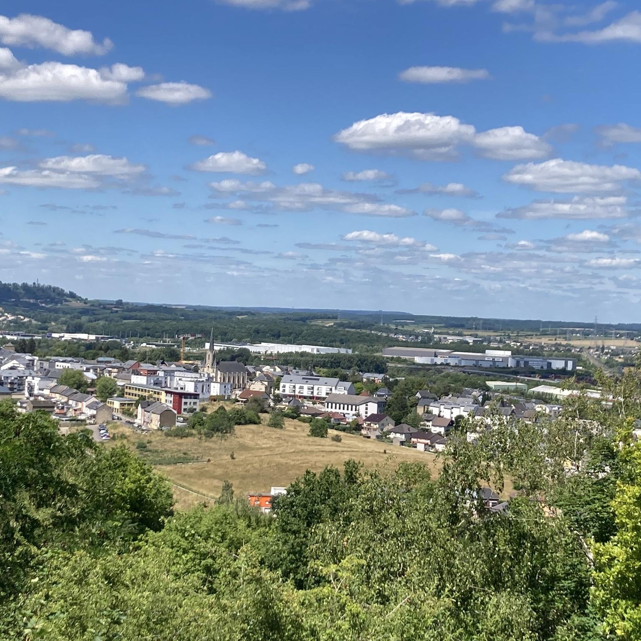
Gravel biking around Haucourt-Moulaine offers diverse landscapes in the Meurthe-et-Moselle department of France's Grand Est region. The area features varied topography, including the plateau du Pays-Haut with elevations ranging from 275 to 391 meters, providing both flatter sections and gentle climbs. Extensive forest roads within areas like the Forêt domaniale de Selomont and the broader Lorraine Regional Natural Park characterize the terrain. Additionally, the region includes tranquil routes along the Vallon de la Moulaine and around the Étang de Moulaine.
…Last updated: May 22, 2026
4.9
(7)
50
riders
39.0km
03:13
520m
520m
Hard gravel ride. Very good fitness required. Mostly paved surfaces. Suitable for all skill levels.
5.0
(1)
79
riders
62.8km
04:30
800m
800m
Hard gravel ride. Very good fitness required. You may need to push your bike for some segments of this route.

Sign up for free
5.0
(1)
47
riders
74.1km
04:40
830m
830m
Hard gravel ride. Very good fitness required. You may need to push your bike for some segments of this route.
3.0
(1)
9
riders
Hard gravel ride. Very good fitness required. Mostly paved surfaces. Suitable for all skill levels.
4.0
(1)
24
riders
Hard gravel ride. Very good fitness required. You may need to push your bike for some segments of this route.
Get access to more routes and recommendations from other explorers.
Sign up for free
Already have an account?
Our route recommendations are based on thousands of hikes, rides, and runs completed by other people on komoot.
Start today with a free account
Your next adventure awaits.
Login or Signup
Tips from the Community

Super, small viewpoint above the river
0
0

On the edge of the steelworks, now outside the industrial area, stand the old blast furnaces and new office and administration buildings, including those of universities.
3
0
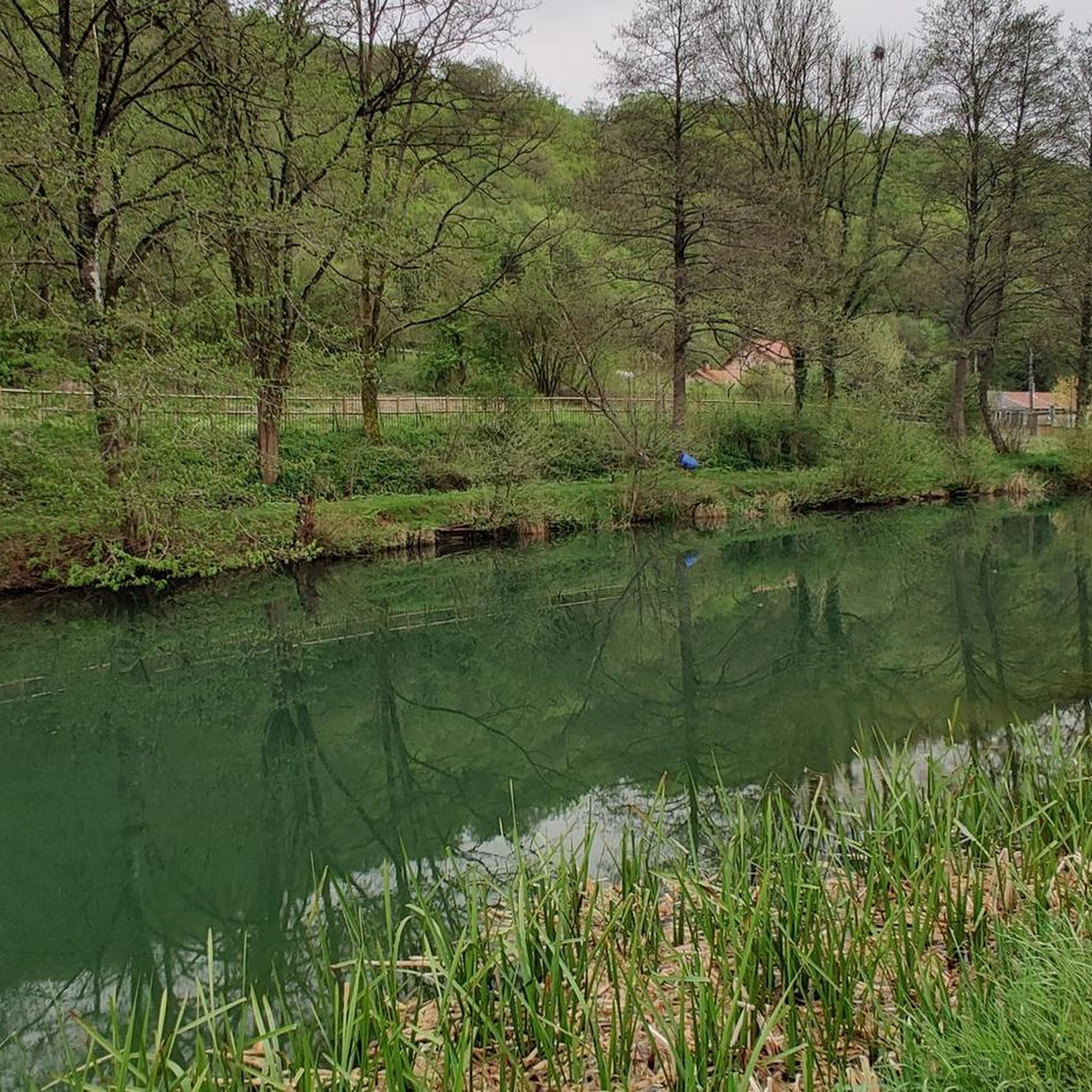
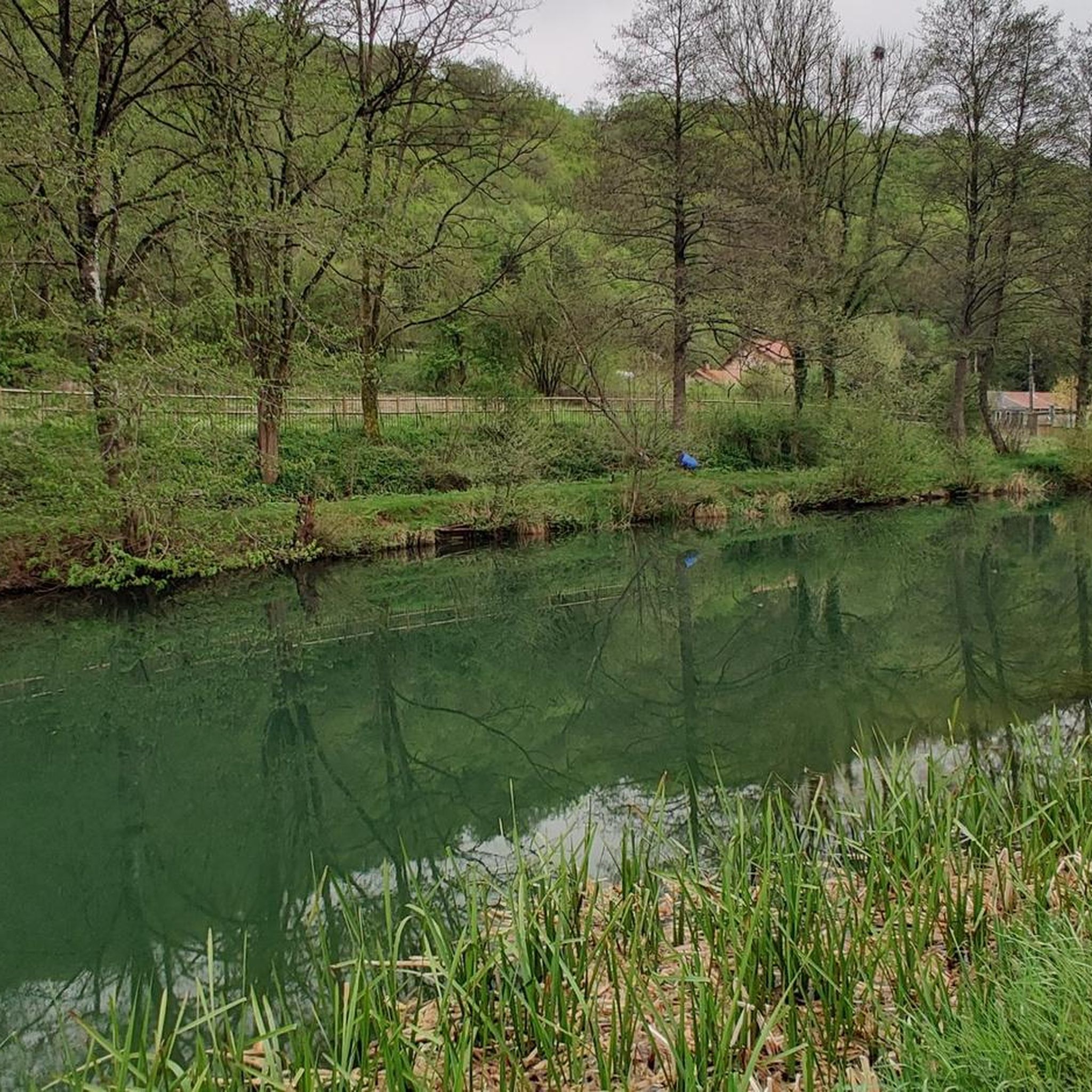
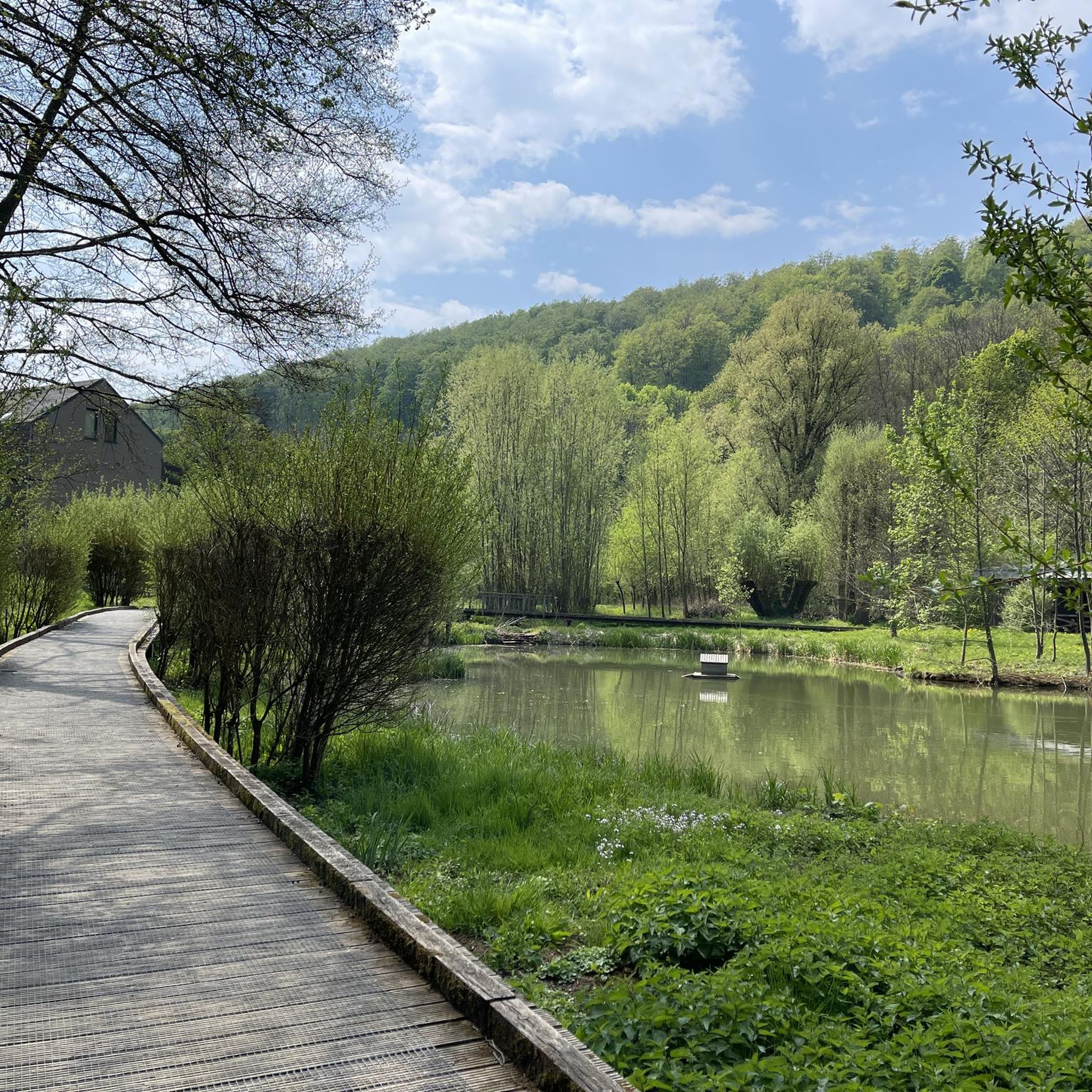
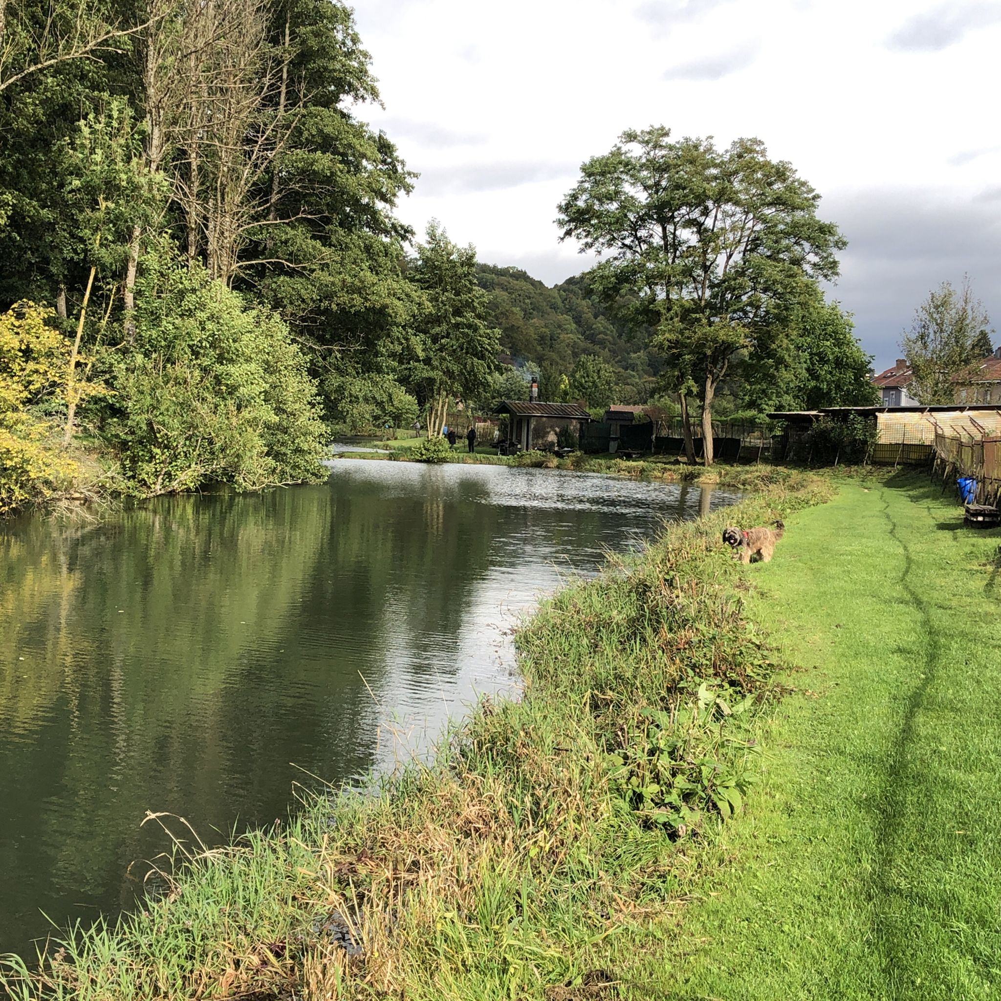
Beautiful lake, for walking, cycling, fishing
0
0

An exciting relic from the days of ore mining. Spectacular with a fantastic view!
1
0


Frequently Asked Questions
How many gravel bike trails are available around Haucourt-Moulaine?
There are over 50 gravel bike trails in the Haucourt-Moulaine area, offering a wide range of options for different skill levels. The komoot community has explored these routes over 300 times, contributing to an average rating of 4.6 stars.
What kind of terrain can I expect on gravel bike trails in Haucourt-Moulaine?
The terrain around Haucourt-Moulaine is quite varied, featuring extensive forest roads, particularly within the forêt domaniale de Selomont and the broader Lorraine Regional Natural Park. You'll encounter wooded hills, gentle climbs, and flatter sections across the plateau du Pays-Haut, along with tranquil routes beside the rive de la Moulaine and around the étang de Moulaine.
Are there any easy gravel bike trails suitable for beginners or families?
Yes, while many routes are moderate to difficult, there are options for easier rides. For instance, the region offers paths that follow rivers and ponds, which tend to be less challenging. Look for routes with lower elevation gain and shorter distances if you're seeking a more relaxed experience.
What are some notable natural features or viewpoints along the gravel routes?
You'll find picturesque natural features like the Moulaine Valley Stream and the Source of the Kor. For scenic views, many routes traverse wooded hills, offering glimpses of the diverse landscape. The Giele Botter Nature Reserve also provides a beautiful natural setting to explore. You can find more details about these natural highlights, including the Giele Botter Nature Reserve and the Moulaine Valley Stream, on komoot.
Are there any interesting historical sites or landmarks to see while gravel biking?
Absolutely. The region is rich in history. You can explore sites like the ancient Celtic settlement of the Ruins of the Titelberg Oppidum or the Ouvrage de Fermont, a fortified work of the Maginot Line. For a unique cycling experience, the Tunnel d'Adlergrund is a 700-meter unlit tunnel that's passable by bike, though a light source is essential. The Halanzy Iron Mine Ruins are another historical point of interest.
Are there any routes that include lakes or water features?
Yes, several routes incorporate water features. The étang de Moulaine (Moulaine pond) is a tranquil spot, and the Lac de Messancy is another notable natural attraction in the vicinity. You can find highlights like Lake Messancy and the Linger Pond and the Chiers on komoot.
What is the best time of year for gravel biking in Haucourt-Moulaine?
The varied terrain and forest roads make Haucourt-Moulaine enjoyable for gravel biking across multiple seasons. Spring and autumn offer pleasant temperatures and beautiful foliage. While the Tunnel d'Adlergrund is typically dry, water can drip from the ceiling after heavy rainfall, so be mindful of conditions, especially after wet weather.
Are there any loop routes available for gravel biking?
Yes, many of the gravel routes in the area are designed as loops, allowing you to start and end at the same point. An example is the Enneschte Bësch Forest Trail – Faubourg Minier Cycle Path loop from Niederkorn, which takes you through varied forest terrain.
What do other gravel bikers enjoy most about the routes in Haucourt-Moulaine?
The komoot community highly rates the gravel biking experience in Haucourt-Moulaine, with an average score of 4.6 stars from over 20 reviews. Riders often praise the diverse landscapes, the extensive network of forest roads, and the engaging challenges presented by the varied topography.
Are there any long-distance gravel routes in the area?
For those seeking a longer ride, the Brasserie At the Station, Clemency – Attert Cycle Path (PC 12) loop from Aubange is a challenging 72.1 km (44.8 miles) path that follows the Attert Cycle Path, offering an extended gravel experience.
Can I find routes that offer a mix of singletrack and forest roads?
Yes, the region provides a good mix. For example, the Forest Singletrack Trail – Singletrack Trail on the Ridge loop from Doihl is a difficult route that navigates forest singletrack along a ridge, combining technical sections with broader forest paths.
Is Haucourt-Moulaine close to other cycling regions?
Haucourt-Moulaine's location at the border with the Grand Duchy of Luxembourg opens up possibilities for cross-border gravel biking adventures, expanding the range of available routes and landscapes beyond the immediate area.
Most popular routes around Haucourt-Moulaine
Most popular attractions around Haucourt-Moulaine

Get inspired with the komoot mobile app


Explore more
Browse the best Gravel rides in other regions.
