The best gravel rides around Saint-Beauzély
4.2
(64)
729
riders
40
rides
Gravel biking around Saint-Beauzély offers diverse terrain within the Aveyron department of Southern France. The region is characterized by limestone plateaus of the Grands Causses Regional Natural Park and the southern slopes of Mount Lévézou, providing varied topography. Riders can expect a mix of challenging climbs and scenic routes through valleys and forests, with numerous country trails suitable for gravel bikes. This landscape provides a range of surfaces and elevations for different riding preferences.
Best gravel bike trails around Saint-Beauzély
…Last updated: October 6, 2026
4.7
(3)
75
riders
46.4km
03:11
720m
720m
Hard gravel ride. Very good fitness required. Mostly paved surfaces. Suitable for all skill levels.
5.0
(2)
30
riders
74.1km
05:19
1,220m
1,220m
Hard gravel ride. Very good fitness required. Mostly paved surfaces. Suitable for all skill levels.

4.0
(1)
62
riders
24.9km
01:51
570m
570m
Hard gravel ride. Very good fitness required. Mostly paved surfaces. Suitable for all skill levels.
4.8
(12)
49
riders
38.2km
02:44
710m
710m
Hard gravel ride. Very good fitness required. Mostly paved surfaces. Suitable for all skill levels.
3.0
(4)
41
riders
28.3km
01:47
240m
240m
Moderate gravel ride. Good fitness required. Mostly paved surfaces. Suitable for all skill levels.
Get access to more routes and recommendations from other explorers.
Already have an account?
Our route recommendations are based on thousands of hikes, rides, and runs completed by other people on komoot.
Start today with a free account
Your next adventure awaits.
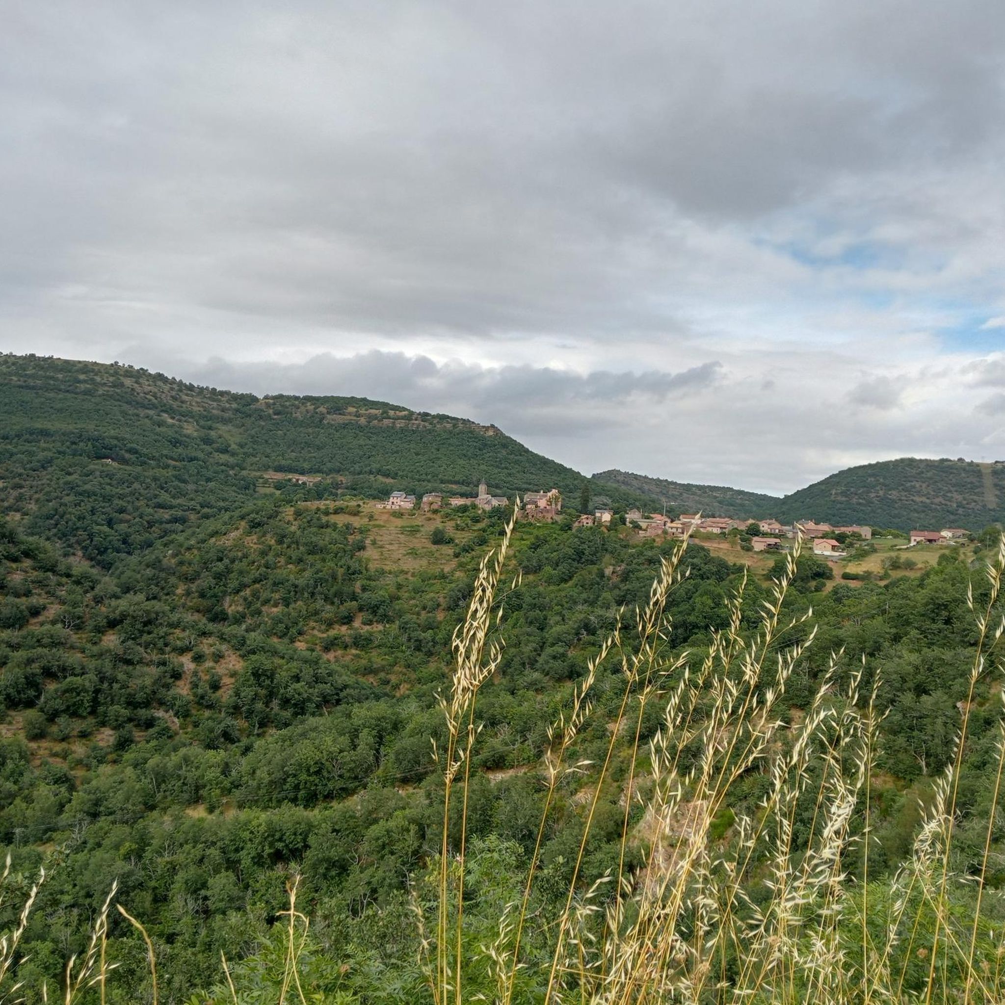
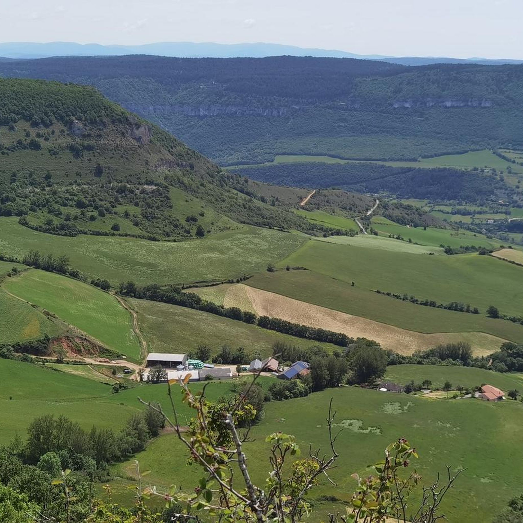
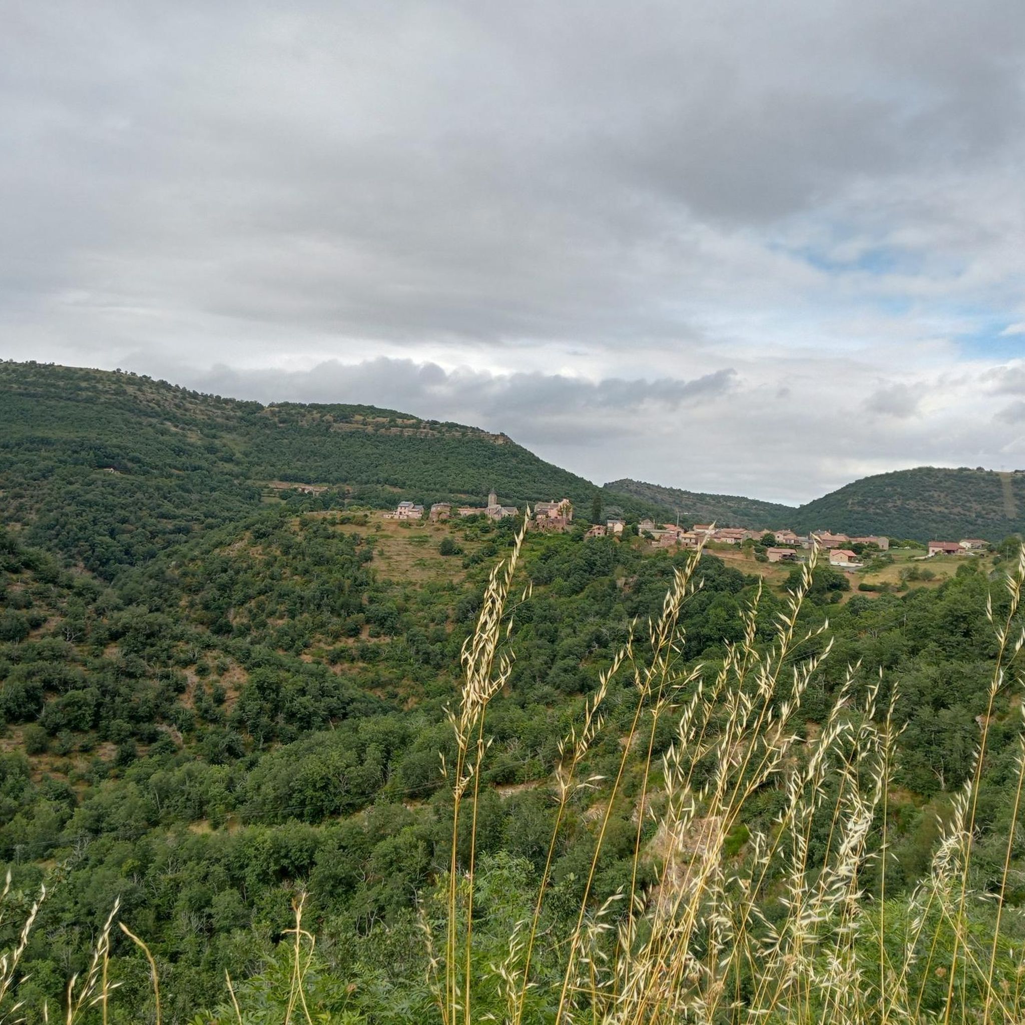
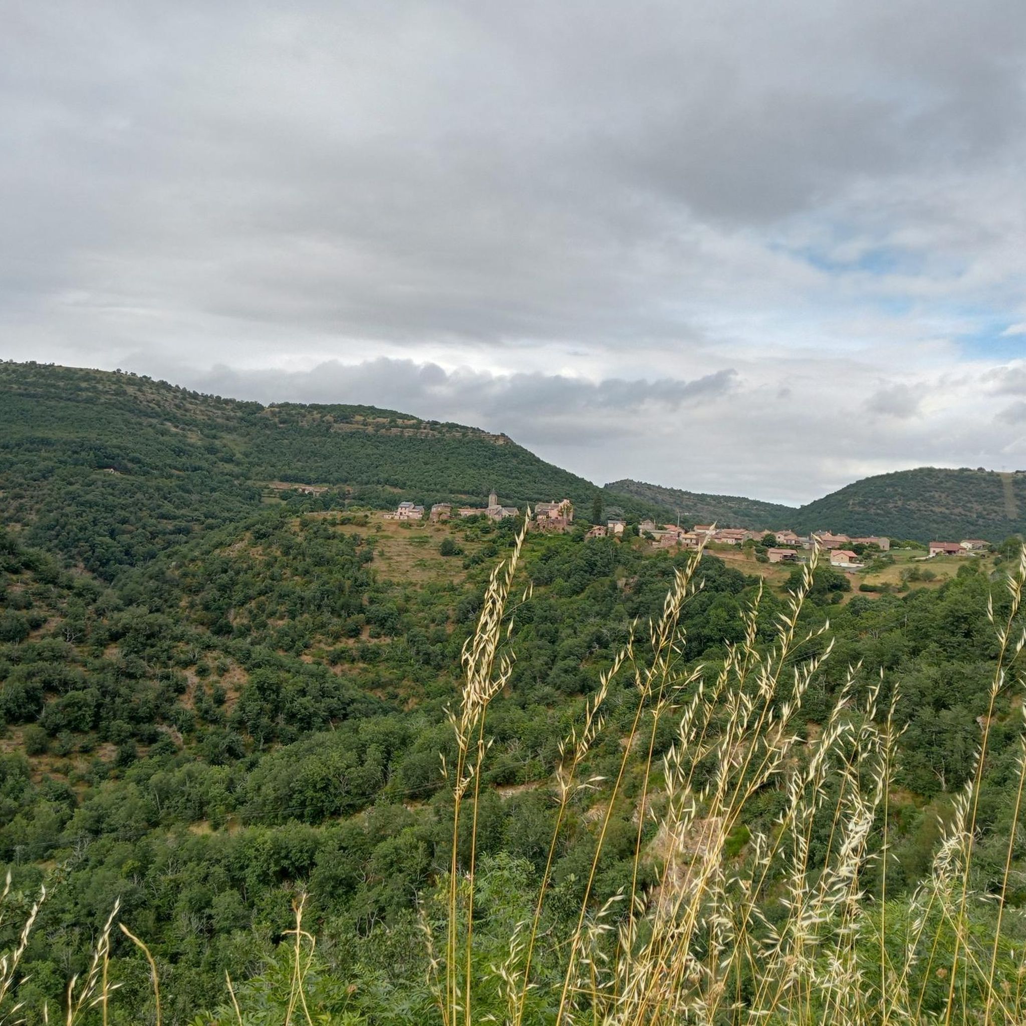
Tips from the Community

This place is the starting point of the Voie Verte which runs along the Tarn and leads to Creissels. You can discover the troglodytic village of Peyre in particular, a very pleasant forest section which, in places, forms a real green tunnel. Further on, you can enjoy a magnificent view of the Millau Viaduct.
2
0
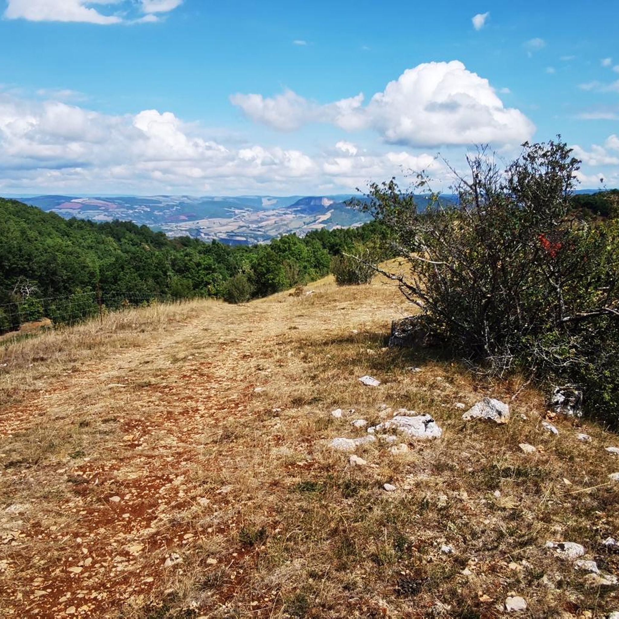
From the Larzac plateau, the Brunas site offers a vast panorama of the Millau valley. Stretched between the two banks of the Tarn, the viaduct with its seven concrete piers appears in its entirety. Behind it unfolds the entire causse Rouge, a large limestone plateau whose undulations dominate the valley. Then, the Puech d’Andan is distinguished by its wooded silhouette, cut in two by a clear central notch. Further to the right stands the Pouncho d'Agast, a pyramidal promontory marking the beginning of the causse Noir at an altitude of 841 m. Brunas is also a true site for free flight. The take-off area is located directly on the plateau; the site is mainly used with a north wind and allows paragliders to take off and then land in the vicinity of the same sector, with approximately 370 m of elevation difference down to the valley. The spectacle of the sails evolving in front of the viaduct adds a particular dimension to this panorama.
2
0
Perché at an altitude of approximately 730 meters, the Cap de Coste viewpoint overlooks the eastern end of the Boundoulaou cirque. It reveals a vast panorama of the Millau basin and its surrounding massifs. To the left, the easily recognizable Millau Viaduct spans the Tarn valley, connecting the Larzac to the Causse Rouge. Further to the right stretches the latter: a large limestone plateau whose undulations dominate the valley. Then, the Puech d’Andan stands out with its wooded silhouette, cut in two by a clear central notch. Finally, further away, the Pouncho d’Agast, an emblematic relief of the Causse Noir, is easily recognized by its profile like a true limestone pyramid.
2
0
This section of the greenway follows a narrow and shaded path, where dense vegetation forms a real green tunnel in places. The natural surface is particularly pleasant to ride on. These wooded sections alternate with a few openings, which allow you to reconnect with the Tarn river and, further on, the Millau viaduct.
2
0
From this point at the foot of the structure, the regular succession of piers and guyed pylons can be particularly well distinguished. The deck, 2,460 m long, crosses the valley at a height of approximately 270 m above the Tarn. Pier P2, the tallest, culminates at 245 m, while the assembly formed by the pier and its pylon reaches 343 m: a height greater than that of the Eiffel Tower. This perspective also recalls the technical feat that the construction of the viaduct represented. The metal deck was assembled in sections from either side of the valley, then progressively launched across the void. The joining of the two parts was carried out on May 28, 2004, 268 m above the Tarn, before the official inauguration a few months later. An interesting detail can be discerned here: despite its exceptional dimensions, the structure appears remarkably light. This impression is not accidental. The viaduct was specifically designed to blend into the valley by limiting the visual impact of its structure, with a very slender deck and piers that branch out in a "Y" shape.
2
0
From the greenway, the Millau Viaduct is revealed from a particularly spectacular angle! One becomes aware of the extraordinary dimensions of the structure. Built between 2001 and 2004, the viaduct crosses the Tarn valley over 2,460 m and connects the Causse Rouge to the north with the Causse du Larzac to the south. Its metal deck, approximately 32 m wide, rests on seven concrete piers extended by seven cable-stayed pylons. At its highest point, the entire structure reaches 343 m above the ground; the deck is up to about 270 m above the Tarn. Designed by engineer Michel Virlogeux and British architect Sir Norman Foster, the viaduct combines a very slender metal structure with piers whose "Y" shape helps to visually lighten the whole. The deck was manufactured in metal elements and then gradually launched from both ends of the valley. The joining of the two parts was finally carried out on May 28, 2004, at 268 m above the Tarn.
2
0

Absolutely worth seeing - view it from below and definitely join the architecture tour.
0
0

Frequently Asked Questions
What kind of terrain can I expect on gravel bike trails around Saint-Beauzély?
The region offers a diverse mix of terrain, characteristic of the Grands Causses Regional Natural Park and the southern slopes of Mount Lévézou. You'll encounter limestone plateaus (Causses), deep gorges, and varied country trails through valleys and forests. This provides a range of surfaces and elevations, from challenging climbs to scenic routes.
Are there gravel bike routes suitable for beginners or those looking for an easier ride?
While many routes in the area are rated as difficult, there are options for moderate riders. For example, the View of the Millau Viaduct – Millau Viaduct loop from Millau is a moderate 26.2 km trail that offers rewarding views without the most extreme challenges.
What are some notable landmarks or viewpoints I can see while gravel biking in Saint-Beauzély?
The area is rich in scenic viewpoints and historical sites. You can ride past the impressive Millau Viaduct, visit the Millau Viaduct Viewpoint, or enjoy panoramic vistas from the Cap de Coste Viewpoint. The region also features historical villages, ancient bridges like Pont Lerouge, and natural wonders such as the Cliffs of the Cirque du Boundoulaou.
How many gravel bike trails are available in the Saint-Beauzély area?
There are over 35 gravel bike trails available around Saint-Beauzély on komoot, offering a wide variety of distances and difficulty levels to explore the diverse landscapes of the Aveyron department.
What do other gravel bikers say about the trails in Saint-Beauzély?
The gravel biking routes in Saint-Beauzély are highly rated by the komoot community, with an average score of 4.3 stars from over 39 reviews. Many riders praise the varied terrain and the rewarding views encountered along the trails.
Are there any long or challenging gravel bike routes for experienced riders?
Yes, experienced riders will find plenty of challenging options. The La Roque-Sainte-Marguerite – Sainte-Marguerite's Rocks loop from Millau is a difficult 46.5 km trail with significant elevation changes. Another demanding option is the Millau Viaduct – View of the Millau Viaduct loop from Millau, covering 47.0 km with substantial climbs.
Can I find routes that offer a mix of natural beauty and cultural interest?
Absolutely. The region is known for combining natural beauty with historical sites. You can explore routes that pass through the Valley of the Muse, known for its historical monuments, or cycle through ancient villages like Saint-Léons and Castelnau-Pégayrols, characterized by their sandstone architecture. The Roman road, now part of the GR62, also offers a historical cycling experience.
What is the best time of year for gravel biking in Saint-Beauzély?
While specific weather data isn't provided, the Aveyron region generally offers pleasant conditions for outdoor activities from spring through autumn. Spring brings blooming landscapes, and autumn provides cooler temperatures and vibrant foliage. Summers can be warm, so early morning or late afternoon rides are often preferred.
Are there any routes that focus on panoramic views?
Many routes in the Saint-Beauzély area offer stunning views due to its location on the southern slopes of Mount Lévézou and within the Grands Causses. The Millau – Viewpoint loop from Millau is specifically designed to lead through varied terrain with rewarding vistas. Higher elevations like Mont Seigne also provide 360-degree panoramas.
Are there any gravel routes that explore the deeper parts of the gorges?
Saint-Beauzély is conveniently located near the entrances of the Gorges du Tarn and Gorges de la Jonte, which are part of the Parc des Grands Causses. While specific gravel routes directly within the deepest parts of these dramatic canyons are not listed, the Dourbie Corniche offers cliff-top paths with beautiful views of the Dourbie valley, providing an adventurous experience near the gorges.
What kind of natural features can I expect to see on the trails?
You'll encounter a variety of natural features, including the distinctive limestone plateaus of the Causses, dramatic gorges, and the forested slopes of Mount Lévézou. Keep an eye out for unique geological formations like the Dinosaur Footprints of Peyre and impressive rock faces such as the Cliffs of the Cirque du Boundoulaou.
Is there a route that explores the countryside near Millau?
Yes, the Millau – Former Cade farm loop from Millau is a challenging 25.0 km path that specifically explores the diverse landscapes and country trails in the vicinity of Millau, offering a great way to experience the local rural environment.
Most popular routes around Saint-Beauzély
Most popular attractions around Saint-Beauzély

Get inspired with the komoot mobile app


Explore more
Browse the best Gravel rides in other regions.
