The best gravel rides around Mégevette
4.2
(14)
118
riders
12
rides
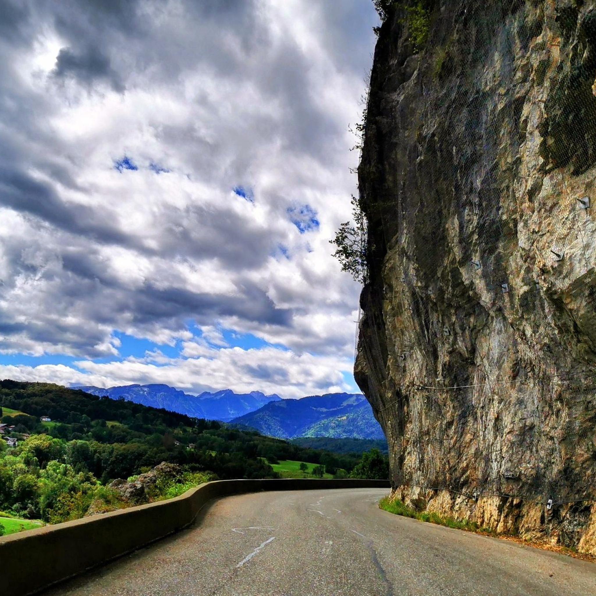
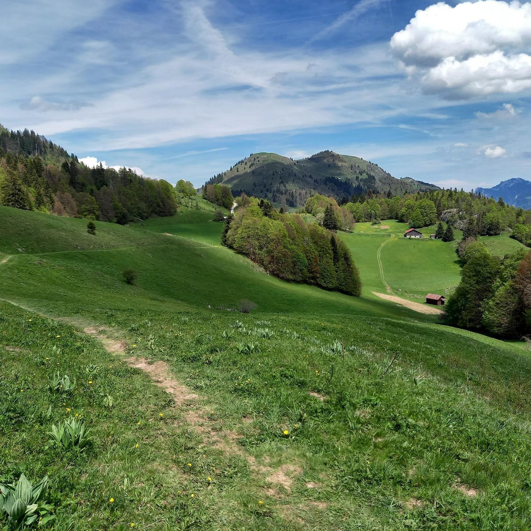
Gravel biking around Mégevette, situated in the Haute-Savoie department, features diverse terrain within the Risse valley, surrounded by mountains such as Hirmentaz (1,607 m) and Pointe de Miribel (1,581 m). The region's altitude ranges from 850 to 1,768 meters, providing varied and challenging routes through forests and alpine pastures. These paths often offer views of the Mont Blanc massif and the surrounding French Alps.
Best gravel bike trails around Mégevette
- The most popular gravel bike trail is Col du Corbier – Col du Corbier (1230 m) loop from Graydon, a 33.5 miles (53.9 km) trail that takes 5 hours 30 minutes to complete. This difficult route features significant elevation gain through mountainous terrain.
- Another top favourite among local gravel bikers is Chartreuse de Mélan – Gorges du Pont du Diable loop from Mieussy, a difficult 15.9 miles (25.6 km) path. This route traverses valleys and gorges, offering varied scenery.
- Local gravel bikers also love the Plateau de la Menoge – Descent of the Menoge loop from Habère-Poche, an 11.0 miles (17.7 km) trail leading through plateau landscapes, often completed in about 1 hour 15 minutes.
- Gravel biking around Mégevette is defined by mountainous landscapes, verdant valleys, and alpine pastures. The network offers options for different ability levels, from moderate rides to challenging trails with significant elevation gains.
- The routes in Mégevette are highly rated by the komoot community with an average score of 4.1 stars from more than 10 reviews. More than 100 gravel bikers have used komoot to explore Mégevette's varied terrain.
Last updated: July 16, 2026
4.0
(2)
28
riders
Hard gravel ride. Very good fitness required. Mostly paved surfaces. Suitable for all skill levels.
21
riders
53.9km
04:32
1,750m
1,750m
Hard gravel ride. Very good fitness required. Mostly paved surfaces. Suitable for all skill levels.

Sign up for free
5
riders
32.6km
02:43
700m
710m
Hard gravel ride. Very good fitness required. You may need to push your bike for some segments of this route.
3.5
(2)
10
riders
25.7km
02:06
640m
640m
Hard gravel ride. Very good fitness required. Mostly paved surfaces. Suitable for all skill levels.
3.0
(3)
7
riders
18.0km
01:17
300m
300m
Moderate gravel ride. Good fitness required. Mostly paved surfaces. Suitable for all skill levels.
Get access to more routes and recommendations from other explorers.
Sign up for free
Already have an account?
Our route recommendations are based on thousands of hikes, rides, and runs completed by other people on komoot.
Start today with a free account
Your next adventure awaits.
Login or Signup

Tips from the Community

River in the forest during the descent to the village of Le Villard.
0
0

Intersection point Pont des Prés Altitude 766m
1
0
Intersection point Bois Pinget Altitude 754m
1
0
Intersection point Bucquigny (Roman Road) Altitude 650m
1
0

Frequently Asked Questions
What kind of terrain can I expect on gravel bike trails around Mégevette?
Gravel biking around Mégevette offers a diverse range of terrain, from 850 to 1,768 meters in altitude. You'll encounter routes through the Risse valley, surrounded by mountains like Hirmentaz and Pointe de Miribel. Expect a mix of forest paths, alpine pastures, and 4x4 tracks, often providing breathtaking views of the Mont Blanc massif and the French Alps.
Are there any easy or moderate gravel bike trails suitable for beginners in Mégevette?
While many routes in Mégevette are considered challenging, there are options for less experienced riders. For a moderate ride, consider the Plateau de la Menoge – Descent of the Menoge loop from Habère-Poche, an 11.0-mile (17.7 km) trail that takes you through scenic plateau landscapes. Another moderate option is the Coudrée Castle – View of Lake Geneva loop from Lully, which offers views of Lake Geneva.
What are some of the most challenging gravel bike trails for experienced riders?
For experienced gravel bikers seeking a challenge, Mégevette offers several difficult routes with significant elevation gains. A popular choice is the Col du Corbier – Col du Corbier (1230 m) loop from Graydon, a 33.5-mile (53.9 km) trail with substantial climbing. Another demanding option is the Chartreuse de Mélan – Gorges du Pont du Diable loop from Mieussy, which traverses valleys and gorges.
What natural attractions or viewpoints can I see along the gravel bike trails?
Mégevette's gravel trails often lead to stunning natural attractions and viewpoints. You can enjoy panoramic views of the Chablais region, Lac Léman, and the Alps from spots like Pointe de Miribel. The Pointe des Jottis offers a beautiful 360-degree view after passing through alpine pastures. You might also encounter natural monuments like the Gorges du Pont du Diable or the serene La Gouille aux Morts.
Are there any specific mountain passes accessible by gravel bike in the Mégevette area?
Yes, the Mégevette region is known for its mountain passes, many of which are accessible by gravel bike. Notable passes include Col de Cou, Jambaz Pass, and Col du Feu. These passes offer challenging climbs and rewarding views of the surrounding Alps.
What do other gravel bikers enjoy most about gravel biking in Mégevette?
The gravel biking routes in Mégevette are highly rated by the komoot community, with an average score of 4.1 stars from over 10 reviews. Riders often praise the diverse mountainous landscapes, verdant valleys, and alpine pastures. The variety of terrain, from moderate rides to challenging trails with significant elevation gains, is also a key highlight for many.
Is Mégevette suitable for family-friendly gravel biking?
Mégevette offers a range of trails, and while many are challenging, there are options that can be adapted for families. Look for routes with less elevation gain and smoother surfaces, such as sections of the Plateau de la Menoge – Descent of the Menoge loop from Habère-Poche, which offers a more moderate experience through plateau landscapes. Always check the route details for distance and elevation to ensure it matches your family's ability.
What is the best time of year for gravel biking in Mégevette?
The best time for gravel biking in Mégevette is typically from late spring to early autumn (May to October). During these months, the weather is generally milder, and the trails are free from snow. Autumn can be particularly beautiful with vibrant foliage, but be prepared for cooler temperatures and potentially wet conditions, especially at higher altitudes.
Are there any gravel bike routes that offer a loop or circular experience?
Yes, many of the gravel bike trails around Mégevette are designed as loops, allowing you to start and finish in the same location. Examples include the challenging Col du Corbier – Col du Corbier (1230 m) loop from Graydon and the moderate Plateau de la Menoge – Descent of the Menoge loop from Habère-Poche. These circular routes are convenient for exploration.
How does gravel biking in Mégevette compare to the broader Megève region?
Mégevette, nestled in the Risse valley, offers a distinct gravel biking experience within the larger Megève region. While both areas are highly regarded for gravel biking, Mégevette's specific location provides access to less-frequented routes between forests and alpine hamlets, often with stunning views of the Mont Blanc massif. The terrain in Mégevette is characterized by its varied altitude, ranging from 850 to 1,768 meters, contributing to a mix of challenging climbs and scenic descents.
Are there any hidden gem gravel trails or off-the-beaten-path routes in Mégevette?
Mégevette is known for its network of mountain and forest paths, including less-frequented itineraries like "Les balcons de Mégevette." These routes wind through forests and alpine hamlets, offering serene environments and showcasing views of the Aravis summits and Mont Blanc, away from more crowded areas. Exploring these paths can lead to a truly off-the-beaten-path gravel biking experience.
Most popular routes around Mégevette
Most popular attractions around Mégevette

Get inspired with the komoot mobile app


Explore more
Browse the best Gravel rides in other regions.
