The best gravel rides around Châtelblanc
4.2
(26)
134
riders
44
rides
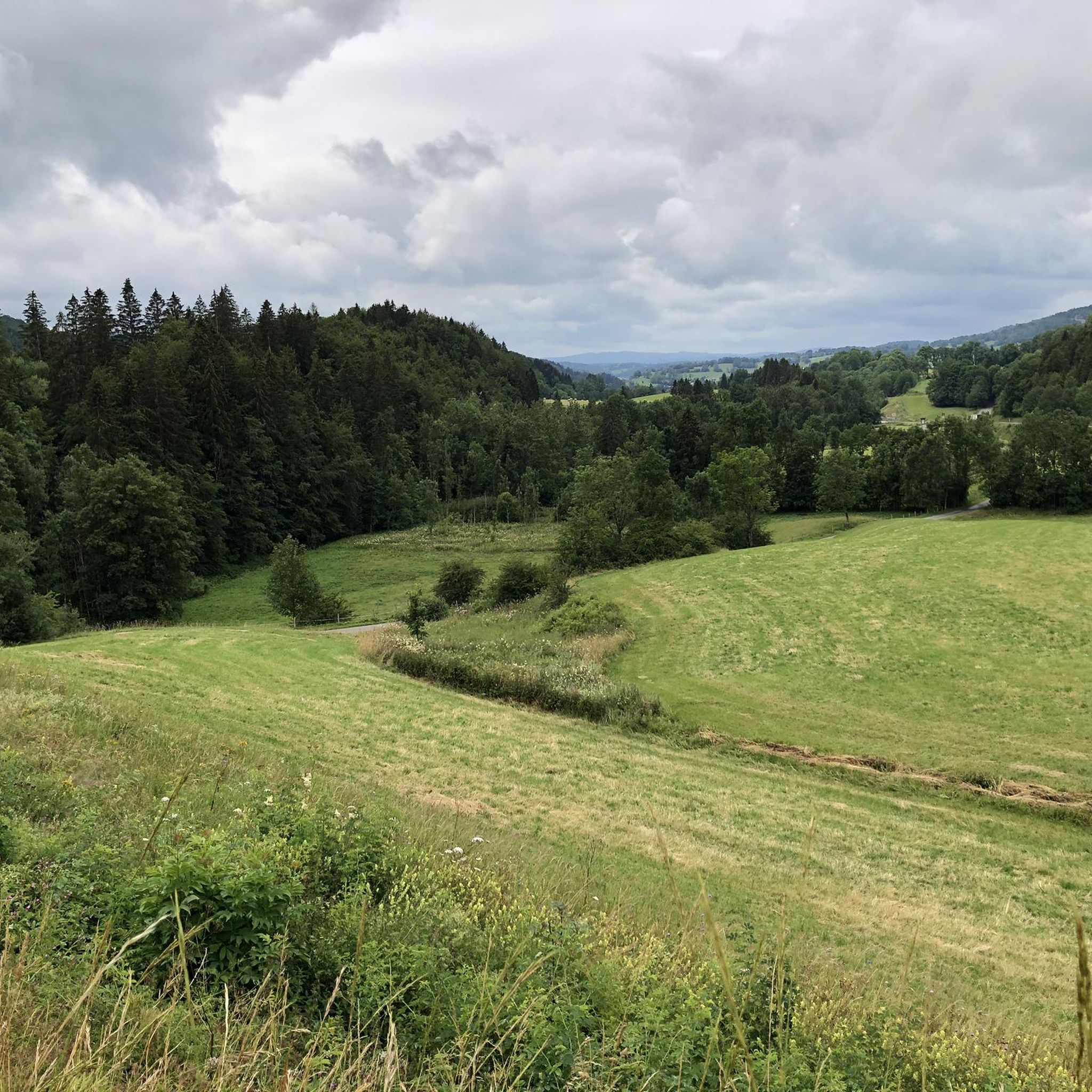
Gravel biking around Châtelblanc offers routes through a landscape characterized by lakes, forests, and rolling hills. The region features varied terrain, including paths around bodies of water like Lake Joux and routes through wooded areas. Elevations vary, with some trails including significant climbs towards cols, and the broader area benefits from alpine scenery and proximity to the Jura mountains. The network provides options for different skill levels, from moderate paths to more challenging routes.
Best gravel bike trails around Châtelblanc
…Last updated: November 2, 2026
4.5
(2)
28
riders
93.9km
06:59
1,700m
1,700m
Hard gravel ride. Very good fitness required. You may need to push your bike for some segments of this route.
4.8
(6)
14
riders
50.3km
03:29
870m
870m
Hard gravel ride. Very good fitness required. Mostly paved surfaces.

6
riders
27.0km
02:05
400m
400m
Moderate gravel ride. Good fitness required. Mostly paved surfaces.
3.7
(3)
11
riders
36.2km
02:25
520m
520m
Hard gravel ride. Very good fitness required. Mostly paved surfaces.
5.0
(1)
7
riders
43.5km
03:02
910m
910m
Hard gravel ride. Very good fitness required. Mostly paved surfaces.
Get access to more routes and recommendations from other explorers.
Already have an account?
Our route recommendations are based on thousands of hikes, rides, and runs completed by other people on komoot.
Start today with a free account
Your next adventure awaits.
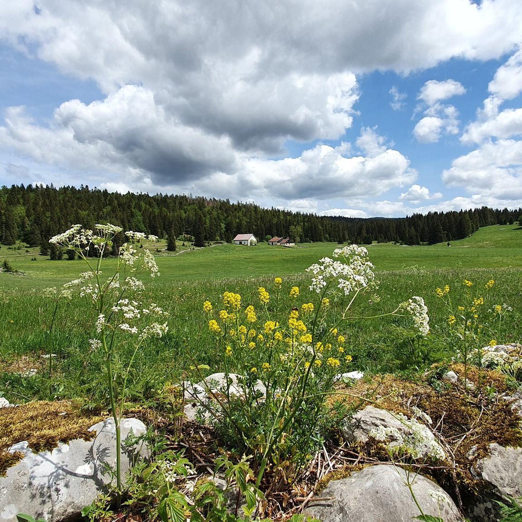
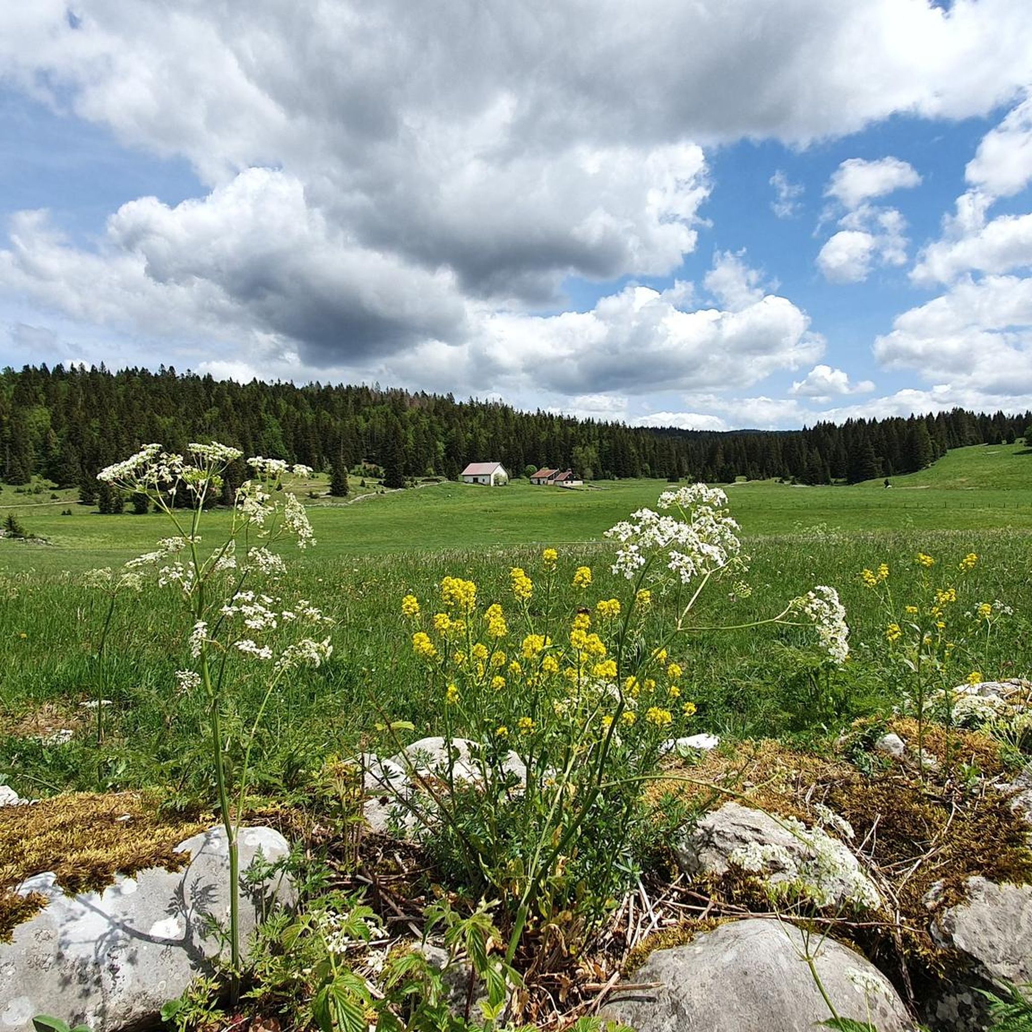
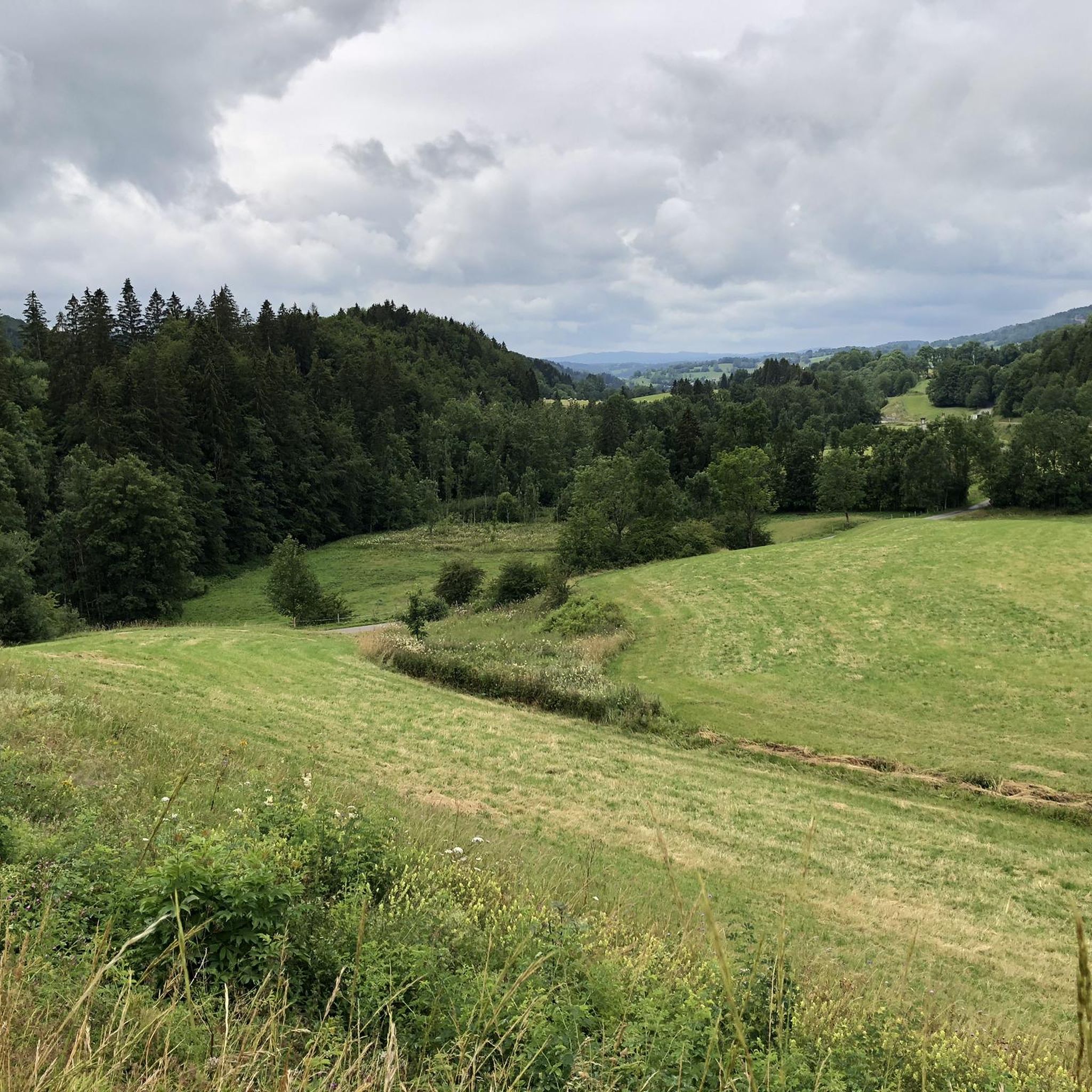
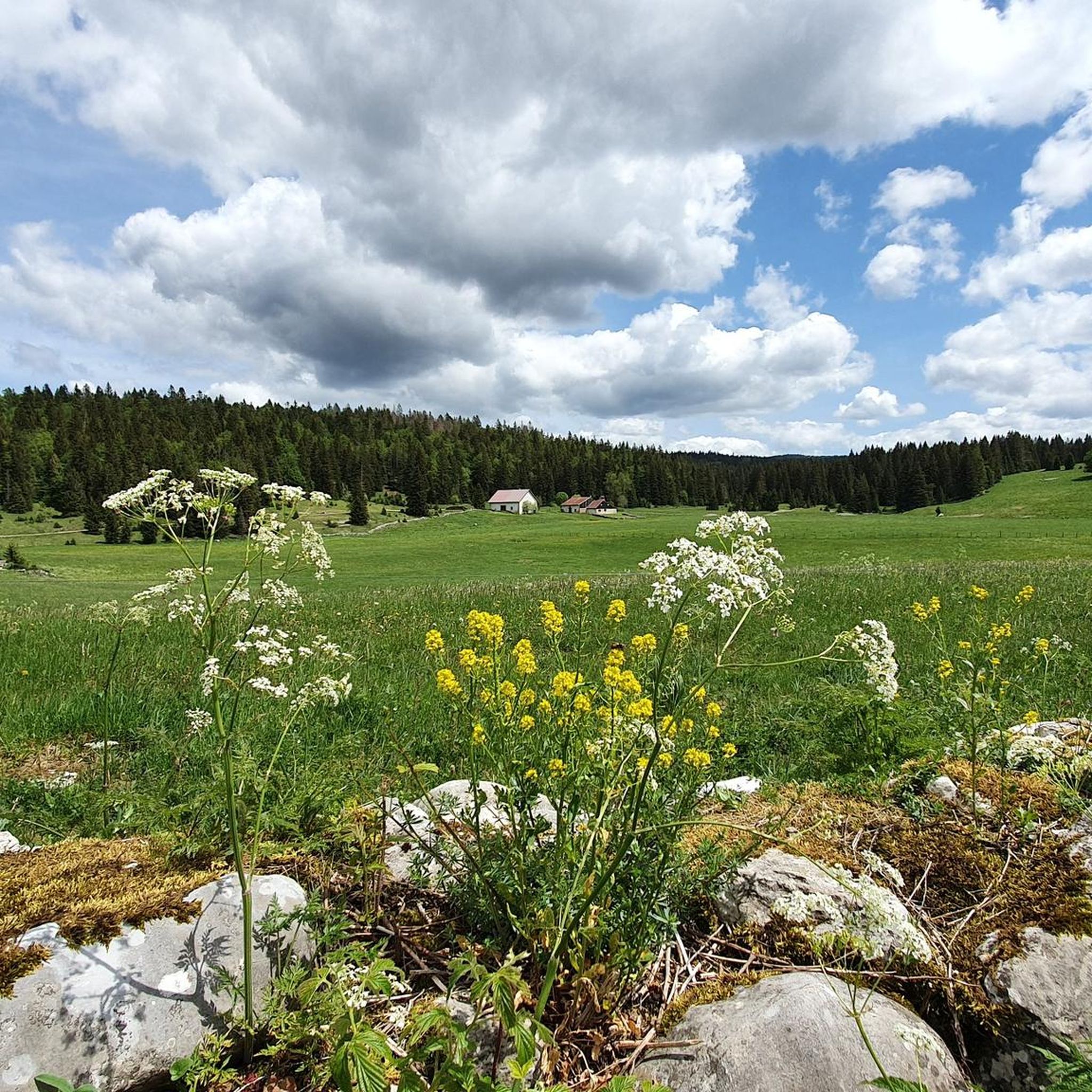
Tips from the Community


Very nice outing early in the morning
0
0

Cool passage, definitely take a lamp.
0
0

Viewpoint above the Doubs source with beautiful views through a forest clearing to Mouthe and the Doubs river.
6
0
The source of the Doubs River is a powerful karst spring in a heavily karstified area of the Jura Mountains. It lies at an altitude of 937 meters at the foot of the forested, up to 1,419-meter-high Mont Risoux mountain range, which straddles the border between France and Switzerland. The Doubs River rises from a small, approximately five-meter-deep spring basin in a cave in the rock.
6
0
The Bief de la Ruine waterfall is located in the spectacular Malvaux Gorge. One of the most astonishing features of this waterfall is the fact that it only comes alive after heavy rainfall or during snowmelt. When it dries, it gives way to the spectacle of the carved stone, revealing the "Creux des Joyaux," a natural cave where the water swirls with varying degrees of vigor, polishing a multitude of limestone pebbles thanks to the force of its current.
7
0

Don't miss this beautiful view at Roche Bernard
0
0

view of the wooden chapel
1
0
Frequently Asked Questions
How many gravel bike trails are available around Châtelblanc?
Châtelblanc offers a diverse network of over 30 gravel bike trails. These routes traverse a landscape rich with lakes, forests, and rolling hills, providing options for various skill levels and preferences.
Are there any easy or beginner-friendly gravel bike trails in Châtelblanc?
Yes, there are routes suitable for beginners. For instance, the Lac de Joux – Lac de Joux loop from Solliat-Golisse is a moderate 13.6-mile (21.9 km) path with less demanding climbs, offering beautiful views of the lake and surrounding natural areas.
What are some longer distance gravel routes near Châtelblanc?
For those seeking a longer challenge, the Lake Joux – Lac de Joux loop from Le Rocheray is a substantial 64.8-mile (104.2 km) trail. It features extensive lakeside riding and significant elevation gain, typically taking around 9 hours to complete.
Are there circular gravel bike trails around Châtelblanc?
Many of the gravel routes in Châtelblanc are designed as loops. Examples include the Lac de Joux – Lac de Joux loop from Solliat-Golisse and the Chapelle-des-Bois – Chapelle-des-Bois loop from Petite-Chaux, allowing you to start and finish at the same point.
What kind of terrain can I expect on the gravel trails in Châtelblanc?
The terrain around Châtelblanc is varied, characterized by lake shore paths, dense woodlands, and rolling hills. You'll encounter a mix of surfaces, from gravel tracks to forest roads, with elevations ranging from gentle inclines to significant climbs towards cols.
What attractions or viewpoints can I find along the gravel bike trails?
The region offers several natural attractions. You might encounter features like the Langouette Gorges or the Bief de la Ruine Waterfalls. Many routes also provide scenic viewpoints over Lake Joux and the surrounding forested landscapes.
Are there any places to stop for refreshments or cafes along the routes?
While specific cafes on every route are not listed, the region has several huts and restaurants. For example, the Chalet Gaillard Restaurant is one option where you might find refreshments, depending on your chosen route.
What is the best time of year for gravel biking in Châtelblanc?
Given the landscape of lakes and forests, the most enjoyable time for gravel biking in Châtelblanc is typically from spring through autumn. During these seasons, the weather is generally milder, and the natural scenery is at its most vibrant.
What do other gravel bikers say about the trails in Châtelblanc?
The gravel biking routes in Châtelblanc are highly regarded by the komoot community, holding an average rating of 4.6 stars from over 13 reviews. Users frequently praise the diverse terrain, beautiful lakeside sections, and the peaceful atmosphere of the forested paths.
Are there any advanced or challenging gravel bike routes in the area?
Yes, Châtelblanc offers challenging routes for experienced riders. Trails like the Mouthe – Col de Landoz-Neuve loop from Mouthe, covering 43.3 miles (69.7 km) with significant elevation gain, are graded as difficult and provide a demanding experience.
Is public transport available to access gravel trails in Châtelblanc?
While specific public transport links to every trailhead are not detailed, Châtelblanc is a regional hub. It's advisable to check local bus or train schedules for connections to villages near your chosen starting point, such as Solliat-Golisse or Le Rocheray, which are common access points for lake loops.
Where can I find parking for gravel biking in Châtelblanc?
Many trailheads in the Châtelblanc region, especially those starting from villages like Le Rocheray, Solliat-Golisse, or Petite-Chaux, typically offer designated parking areas for visitors. It's recommended to check the specific tour details on komoot for parking information related to your chosen route.
Most popular routes around Châtelblanc
Most popular attractions around Châtelblanc

Get inspired with the komoot mobile app


Explore more
Browse the best Gravel rides in other regions.
