The best gravel rides around Lützelhausen
4.6
(5)
62
riders
22
rides
Gravel biking around Lützelhausen offers access to diverse landscapes, situated between the Spessart and Vogelsberg low mountain ranges. The region is characterized by extensive forests, including the Linsengerichter Gerichtswald, which features varied terrain with ascents, descents, forest roads, and farm tracks. This area provides a network of paths suitable for gravel biking, ranging from moderate trails to routes with significant elevation changes. The topography includes dense mixed deciduous forests, deep valleys, and rolling hills.
Best gravel bike trails around Lützelhausen
…Last updated: May 22, 2026
9
riders
Hard gravel ride. Very good fitness required. Mostly paved surfaces. Suitable for all skill levels.
4.0
(1)
29
riders
89.0km
07:07
1,930m
1,930m
Hard gravel ride. Very good fitness required. You may need to push your bike for some segments of this route.

Sign up for free
5.0
(1)
5
riders
29.5km
02:23
710m
710m
Hard gravel ride. Very good fitness required. Mostly paved surfaces. Suitable for all skill levels.
5.0
(1)
5
riders
71.7km
05:09
1,330m
1,330m
Hard gravel ride. Very good fitness required. You may need to push your bike for some segments of this route.
4.0
(1)
6
riders
43.8km
03:44
1,070m
1,070m
Hard gravel ride. Very good fitness required. Mostly paved surfaces. Suitable for all skill levels.
Get access to more routes and recommendations from other explorers.
Sign up for free
Already have an account?
Our route recommendations are based on thousands of hikes, rides, and runs completed by other people on komoot.
Start today with a free account
Your next adventure awaits.
Login or Signup
Tips from the Community

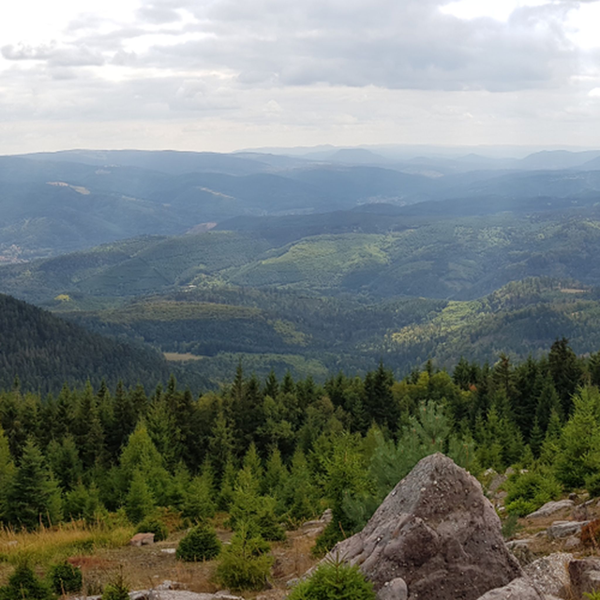
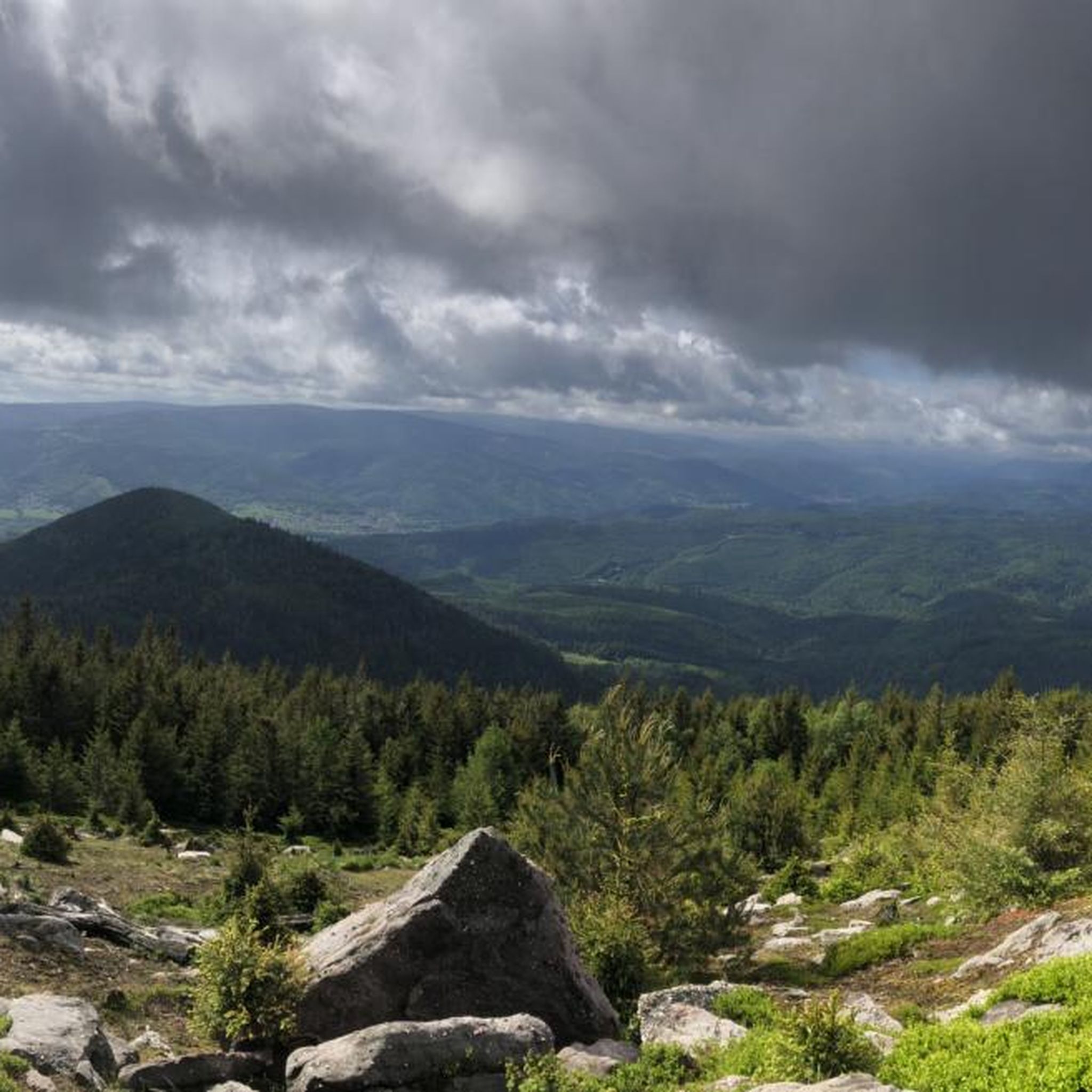
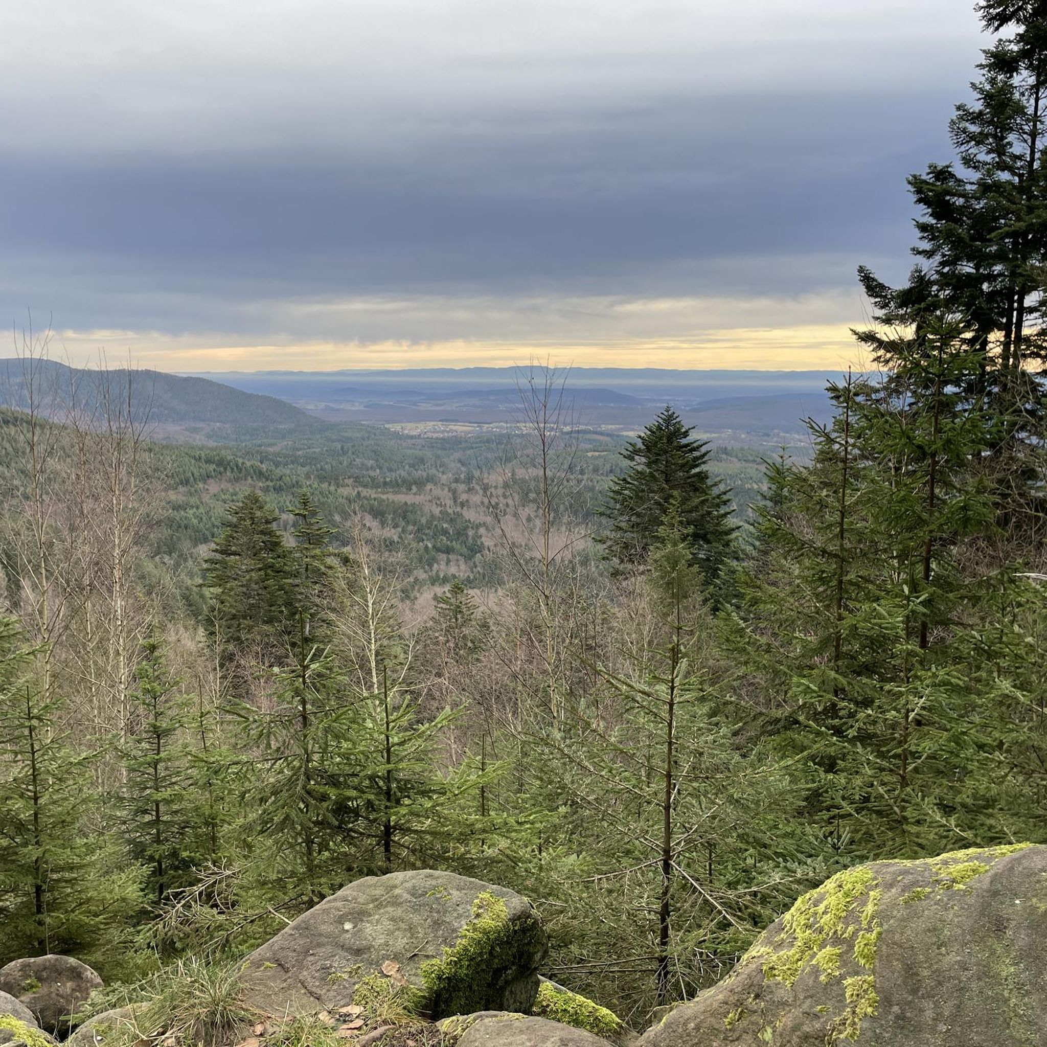
Champ du Feu, at 1099 meters, is the highest mountain in the Bas-Rhin department of the Vosges in Alsace. It lies between the towns of Belmont and Le Hohwald and consists of an extensive high plateau with forests, meadows, and moorlands. The area is a popular nature and recreational area. In summer, it is mainly used for hiking, mountain biking, and nature observation. In winter, there is a small ski area with cross-country trails and simple slopes for winter sports. The brook La Serva originates from Champ du Feu, later forming the Cascade de la Serva. In clear weather, the summit offers wide views over the Vosges, the Rhine plain, and as far as the Black Forest. The area is particularly known for its tranquil nature, high moors, sunrises and starry skies, as well as well-marked hiking trails.
0
0

At kilometer 20 the path is impassable too dangerous there are big stones and roots you often have to get off the bike it's more strenuous than enjoyable
0
0

This section of the cycle path that crosses the Bruche Valley is one of the most beautiful. The landscape is completely unobstructed, allowing you to admire the first Vosges mountains. All this while cycling on a very high-quality surface.
0
0

very nice view and a good place to eat
0
0

Very nice to ride: moderate gradient, little traffic.
0
1

The kitchen had already closed at 3 p.m. on Sunday afternoon, so there were no hot or cold food left. Only cake and ice cream, but that was good. 💲💲Cash only. 💲💲
0
0

A long and beautiful forest road. However, it's bumpy in places on a road bike!
0
0

Beautiful trails. Unfortunately, a section was closed, private. But we continued, just in a different way.
0
0
Frequently Asked Questions
How many gravel bike trails are available around Lützelhausen?
There are over 25 gravel bike routes available around Lützelhausen, offering a variety of experiences for different skill levels. Most of these routes are considered difficult, with a few moderate options.
What kind of terrain can I expect on gravel bike trails around Lützelhausen?
The terrain around Lützelhausen is diverse, characterized by extensive forest roads, varied farm tracks, and the rolling hills of the Spessart and Vogelsberg regions. You'll encounter varied forest paths with ascents and descents, requiring some technical riding skill, especially in the Linsengerichter Gerichtswald.
Are there any family-friendly gravel bike routes in Lützelhausen?
While many routes around Lützelhausen are rated as difficult, the region's diverse network includes some moderate paths that might be suitable for families with older children or those looking for a less strenuous ride. It's best to check individual route details for specific difficulty and terrain.
What are the elevation challenges like on Lützelhausen's gravel routes?
Gravel routes around Lützelhausen often feature significant elevation changes, reflecting the region's location between the Spessart and Vogelsberg low mountain ranges. For example, the Saverne Town Center – Château des Rohan de Saverne loop from Wangenbourg-Engenthal includes over 1800 meters of ascent, exploring extensive forest landscapes and challenging climbs.
When is the best time of year for gravel biking in Lützelhausen?
The region is particularly appealing for gravel biking in spring and autumn, when the foliage provides a stunning backdrop. The diverse landscapes and extensive forest areas offer enjoyable riding conditions during these seasons.
Can I find circular gravel bike routes in the Lützelhausen area?
Yes, many of the gravel bike routes around Lützelhausen are designed as loops. For instance, the popular Route des Pionniers – La Porte de Pierre loop from Heiligenberg - Mollkirch and the Pandours Pass – Col des Pandours loop from Wangenbourg-Engenthal are both circular routes.
What interesting landmarks or viewpoints can I find along the gravel bike trails?
The area around Lützelhausen offers several interesting points. You can find natural monuments like the Verlorenes Eck Stone Circle, or enjoy views from the Rocher de Dabo and Chapel Saint-Léon IX. There are also various summits and shelters, such as the Schneeberg Summit and the Schubert Stone and Shelter at Col Entre les Deux Donons.
What do other cyclists say about gravel biking in Lützelhausen?
The gravel biking routes in Lützelhausen are highly rated by the komoot community, with an average score of 4.7 stars from over 10 reviews. Cyclists often praise the varied terrain, extensive forest roads, and the scenic beauty of the Spessart and Vogelsberg regions.
Are there options for advanced gravel bikers looking for a challenge?
Absolutely. A significant number of routes around Lützelhausen are rated as difficult, featuring considerable elevation gains and technical sections. The Forest Road Through the Vosges – Super fun trail loop from Rothau, for example, offers a challenging ride with over 700 meters of ascent.
Where can I park my car when visiting Lützelhausen for gravel biking?
While specific parking locations for each trail are not detailed here, Lützelhausen is a constituent community of Linsengericht. Generally, in such areas, parking is available near trailheads or in village centers. It's advisable to check local signage upon arrival or use navigation apps for designated parking areas.
Are there any gravel routes that include stops at cafes or pubs?
The region around Lützelhausen, being part of the lively Linsengericht municipality, offers charming village centers and local cultural activities. While specific routes with integrated pub stops aren't highlighted, many trails pass through or near communities where you can find local establishments for refreshments. Planning your route with a map can help identify such opportunities.
What are some of the longer gravel bike routes available in the area?
For those seeking longer rides, Lützelhausen offers extensive options. The Saverne Town Center – Château des Rohan de Saverne loop from Wangenbourg-Engenthal is a challenging 90.8 km route, and the Prayé Forest Road – Lac de la Maix loop from Urmatt covers 71.7 km, both providing significant distances for experienced gravel bikers.
Most popular routes around Lützelhausen
Most popular attractions around Lützelhausen

Get inspired with the komoot mobile app


Explore more
Browse the best Gravel rides in other regions.
