The best gravel rides around Clarafond-Arcine
4.3
(6)
37
riders
8
rides
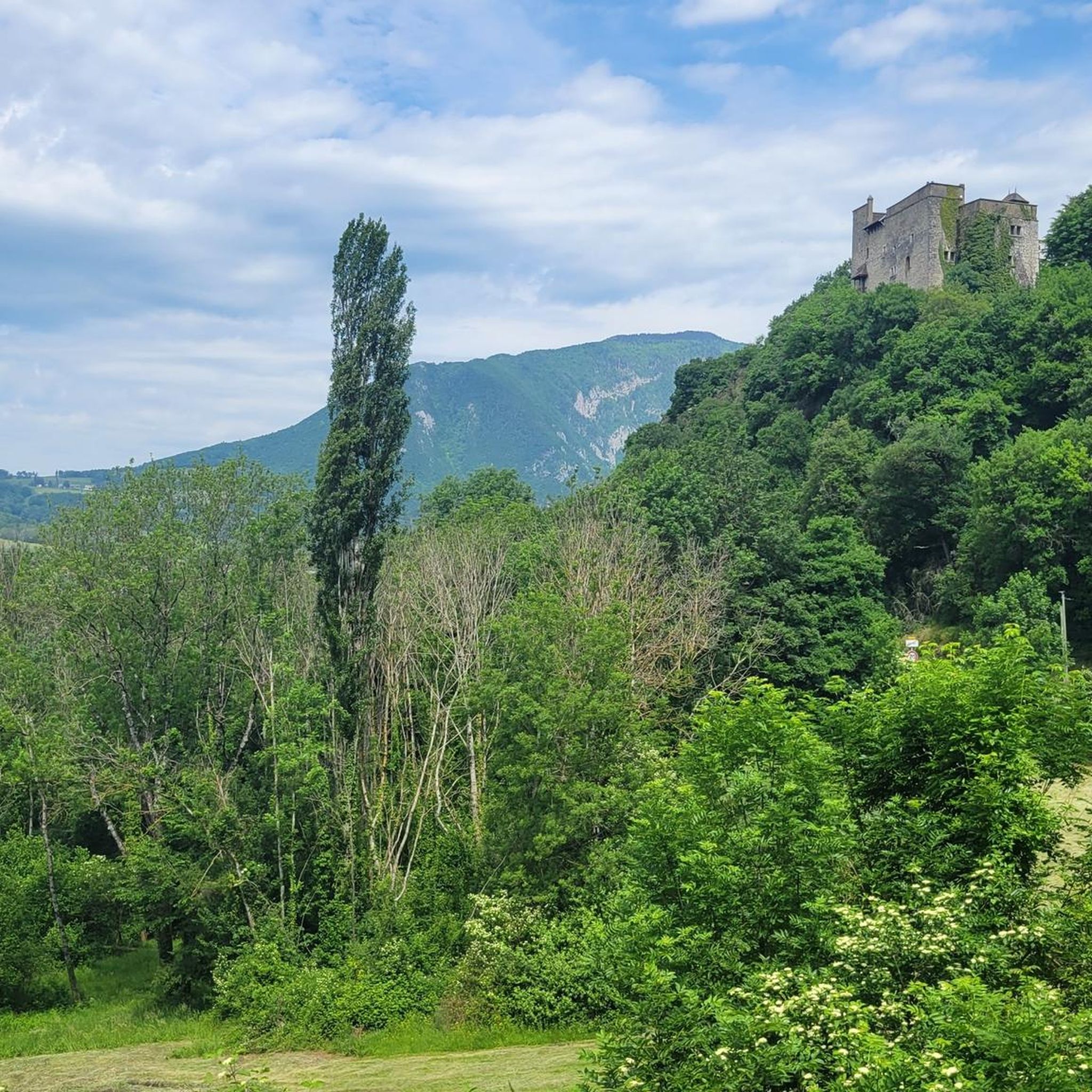
Gravel biking around Clarafond-Arcine offers diverse terrain in the Haute-Savoie region of France, characterized by the Rhône River and its gorges. The landscape features varied topography with altitudes ranging from 330m to 1000m, providing a mix of climbs and descents. This area provides challenging unpaved segments ideal for gravel biking, alongside scenic views of natural monuments and canyons. Forest paths along streams and historical ruins add to the exploratory element of the routes.
Best gravel bike trails around Clarafond-Arcine
- The…
Last updated: October 5, 2026
4.5
(2)
12
riders
36.2km
02:32
660m
660m
Hard gravel ride. Very good fitness required. Mostly paved surfaces. Suitable for all skill levels.
2
riders
73.0km
05:40
1,750m
1,750m
Hard gravel ride. Very good fitness required. You may need to push your bike for some segments of this route.

3.5
(2)
6
riders
41.6km
03:06
910m
910m
Hard gravel ride. Very good fitness required. Mostly paved surfaces. Suitable for all skill levels.
5.0
(1)
5
riders
30.6km
02:11
550m
550m
Hard gravel ride. Very good fitness required. Mostly paved surfaces. Suitable for all skill levels.
2
riders
31.5km
02:27
650m
660m
Hard gravel ride. Very good fitness required. Mostly paved surfaces. Suitable for all skill levels.
Get access to more routes and recommendations from other explorers.
Already have an account?
Our route recommendations are based on thousands of hikes, rides, and runs completed by other people on komoot.
Start today with a free account
Your next adventure awaits.
Tips from the Community


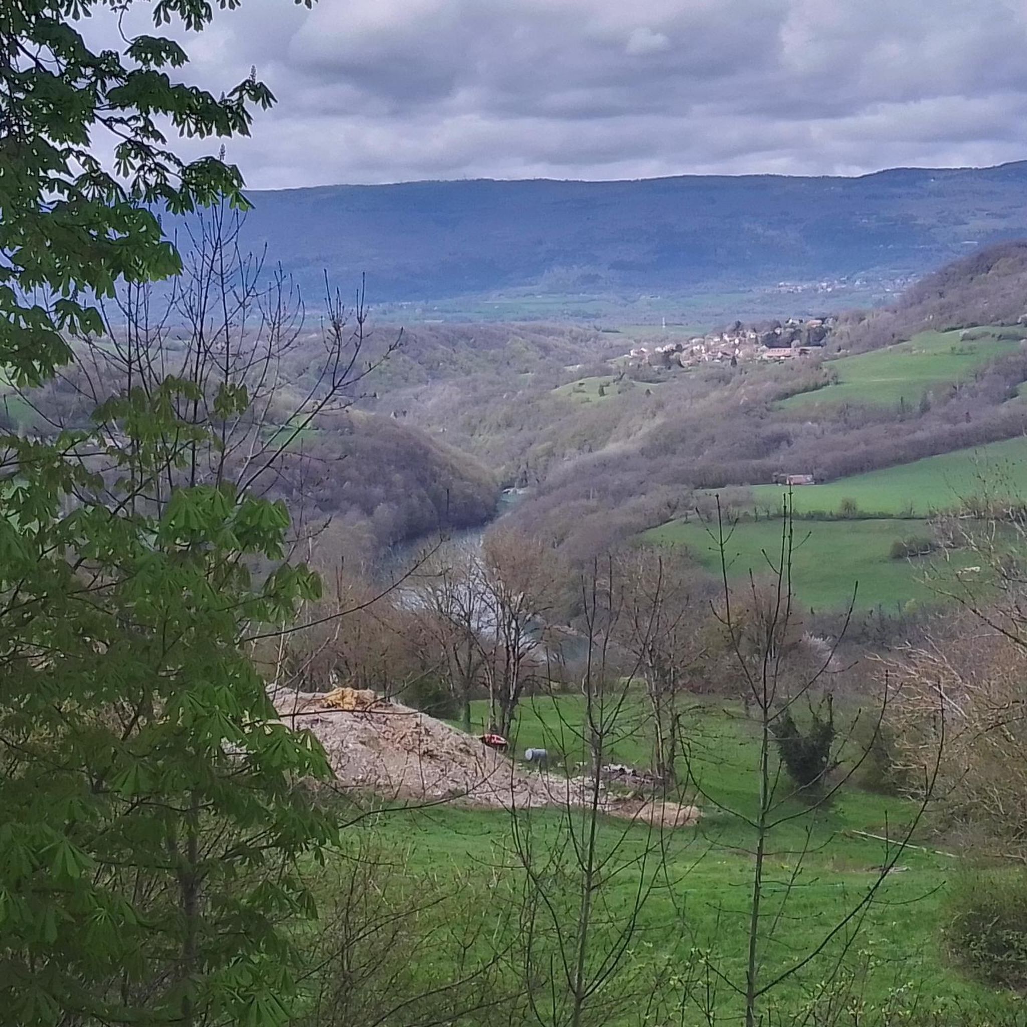
Nestled in the Semine valley, Saint-Germain-de-Joux offers a preserved natural setting. Don't miss the "marmites de géants" (giant's cauldrons), these rock formations carved by water, accessible from the village.
0
0

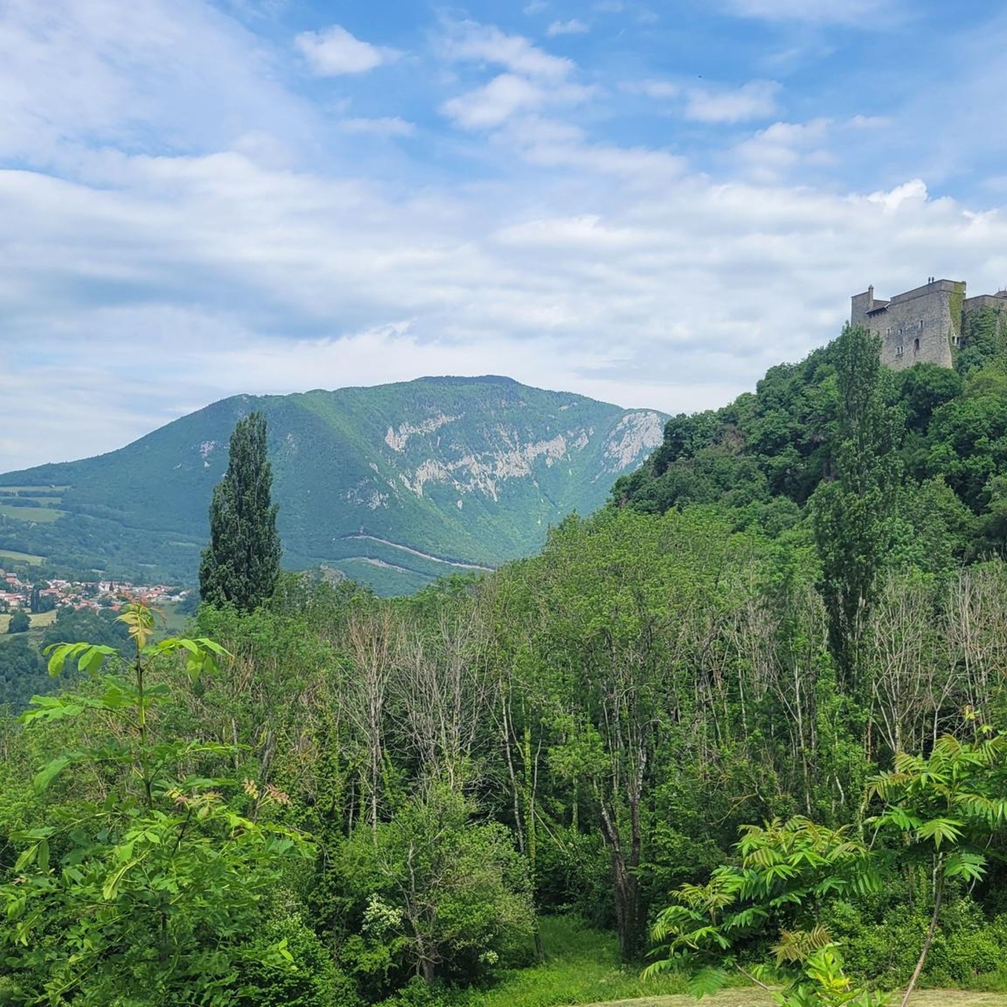
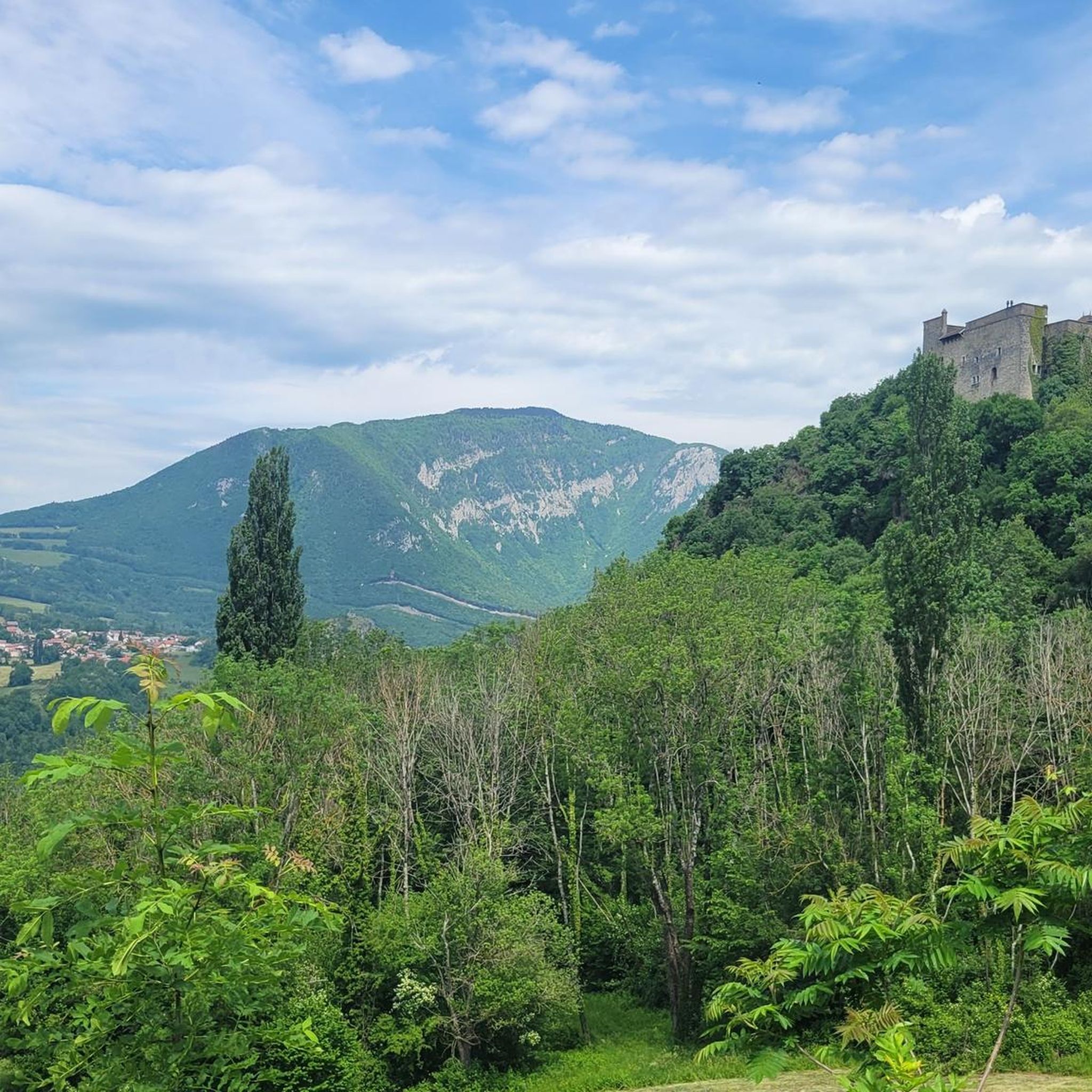
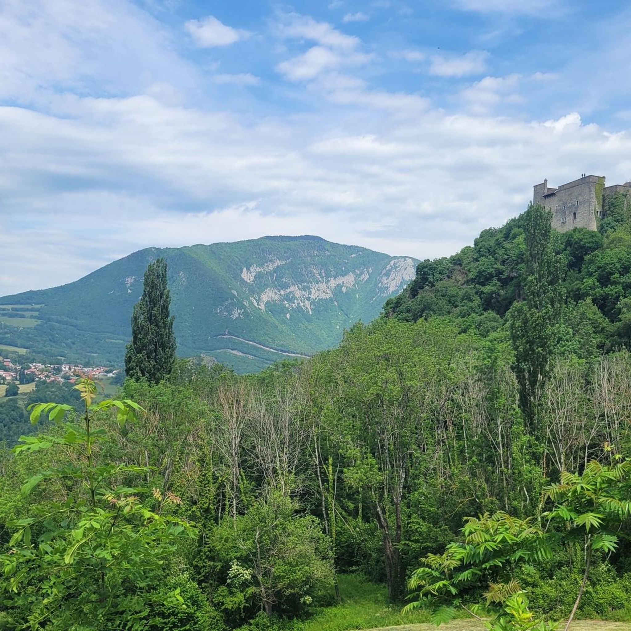
Nestled in pastures at an altitude of 1,000 meters, Giron is the highest (and sunniest!) village in the Ain. Welcoming, with breathtaking views, it is ideal for an overnight stop.
0
0


In my opinion, this is a terrible road for a road bike. I don't enjoy cycling back, but the "view" from my perspective isn't worth the ride, as most of it is trees and you only get a brief glimpse of the lake or the valley below, not to mention the Salève. The road is already very bad a few kilometers past Thoiry and only gets worse. I continued past the viewpoint, hoping to eventually reach a decent paved section. However, that didn't happen until the descent to Crozet. Of course, this isn't a problem on a gravel bike or mountain bike. I was glad I didn't get a flat tire.
0
0
Very beautiful view of the Geneva basin
1
0

Fantastic campsite. Clean, quiet, and well located.
0
0
Frequently Asked Questions
How many gravel bike trails are available in Clarafond-Arcine?
Clarafond-Arcine offers a selection of 10 gravel bike trails, ranging from moderate to difficult, providing diverse options for riders. The komoot community has highly rated these routes, with an average score of 4.4 stars.
What kind of scenery can I expect on gravel bike trails around Clarafond-Arcine?
You can expect diverse landscapes, including stunning views of the Rhône River and its impressive gorges, such as the Valserine Gorges. The area features varied topography with altitudes from 330m to 1000m, offering a mix of climbs and descents through forest paths and past natural monuments and canyons.
Are there challenging gravel bike trails in Clarafond-Arcine?
Yes, the region is known for its challenging routes. For instance, the Seyssel – Old bridge of Seyssel loop from Chavannaz is a difficult 95.6 km trail with significant elevation changes, offering extensive riding along the Rhône River. Another demanding option is the La Roche Fauconnière – Col de Bérentin loop from Montanges, which covers 72.6 km through varied mountain terrain.
Are there any easier or moderate gravel routes for beginners or less experienced riders?
While many routes are challenging, there are moderate options available. For example, the Vuache Trail – Borbannaz Waterfall loop from Savigny is a moderate 26.5 km route that allows for a less strenuous ride while still enjoying the natural beauty, including a waterfall.
Can I see waterfalls on any of the gravel routes?
Yes, you can encounter waterfalls on some routes. The Vuache Trail – Borbannaz Waterfall loop from Savigny specifically features the Borbannaz Waterfall. Additionally, the Pertes de la Valserine, a notable waterfall, is also in the broader area.
Are there any historical sites or landmarks to see along the routes?
Absolutely. You can explore historical sites like Fort l'Écluse, a military museum significantly remodeled from a 13th-century castle. Another unique landmark is Border Marker No. 1, which designates the westernmost point of Switzerland and dates back to 1816.
Are there circular gravel bike routes available?
Many of the gravel routes in Clarafond-Arcine are designed as loops, offering convenient circular rides. Examples include the Valserine Gorges – Beautiful view of Bellegarde loop from Bellegarde and the ViaRhôna Vulbens-Seyssel – View of the Rhône valley loop from Valleiry, allowing you to start and end at the same point.
When is the best time of year for gravel biking in Clarafond-Arcine?
The region's diverse topography and varied conditions mean that spring through autumn generally offer the most pleasant weather for gravel biking. While specific seasonal conditions can vary, these months typically provide a good balance of temperature and trail accessibility.
Are the gravel trails in Clarafond-Arcine suitable for families?
While many routes feature challenging unpaved segments and significant elevation changes, some moderate trails might be suitable for families with older, experienced children. It's recommended to check the difficulty and distance of specific routes, such as the Vuache Trail – Borbannaz Waterfall loop from Savigny, to ensure they match your family's fitness level.
What do other gravel bikers enjoy the most about gravel biking in Clarafond-Arcine?
The area is highly rated by the komoot community, with an average score of 4.4 stars from over 10 reviews. Riders often praise the diverse terrain, the stunning views of the Rhône River and its gorges, and the mix of challenging climbs and rewarding descents that make for an engaging gravel biking experience.
Is public transport available to access gravel trails in Clarafond-Arcine?
While Clarafond-Arcine is a rural area, public transport options exist in the broader Haute-Savoie region. For specific access points to trails, it's advisable to check local bus or train schedules to nearby towns like Bellegarde-sur-Valserine, which serves as a starting point for routes like the Valserine Gorges – Beautiful view of Bellegarde loop.
Most popular routes around Clarafond-Arcine
Most popular attractions around Clarafond-Arcine

Get inspired with the komoot mobile app


Explore more
Browse the best Gravel rides in other regions.
