The best gravel rides around Diedolshausen
4.3
(13)
83
riders
20
rides
Gravel biking around Diedolshausen offers access to routes characterized by the varied terrain of the Vosges mountains. The region features a mix of forested paths, mountain passes, and scenic loops around lakes. Elevation changes are common, providing both challenging climbs and rewarding descents. The landscape is shaped by its mountainous nature, with trails often winding through dense woodlands and open areas offering expansive views.
Best gravel bike trails around Diedolshausen
- The most popular gravel bike trail is Black Lake –…
Last updated: October 6, 2026
3.0
(1)
7
riders
14.4km
01:20
440m
440m
Moderate gravel ride. Good fitness required. Mostly paved surfaces. Suitable for all skill levels.
4.0
(3)
7
riders
23.1km
02:18
720m
720m
Hard gravel ride. Very good fitness required. You may need to push your bike for some segments of this route.

17
riders
48.3km
03:33
1,100m
1,100m
Hard gravel ride. Very good fitness required. Mostly paved surfaces. Suitable for all skill levels.
4.5
(2)
8
riders
48.9km
03:46
810m
810m
Hard gravel ride. Very good fitness required. Mostly paved surfaces. Suitable for all skill levels.
3
riders
25.5km
02:15
650m
650m
Hard gravel ride. Very good fitness required. Mostly paved surfaces. Suitable for all skill levels.
Get access to more routes and recommendations from other explorers.
Already have an account?
Our route recommendations are based on thousands of hikes, rides, and runs completed by other people on komoot.
Start today with a free account
Your next adventure awaits.
Popular around Diedolshausen

Sentier de l'Europe (GR 5) – Montbéliard to Abreschviller
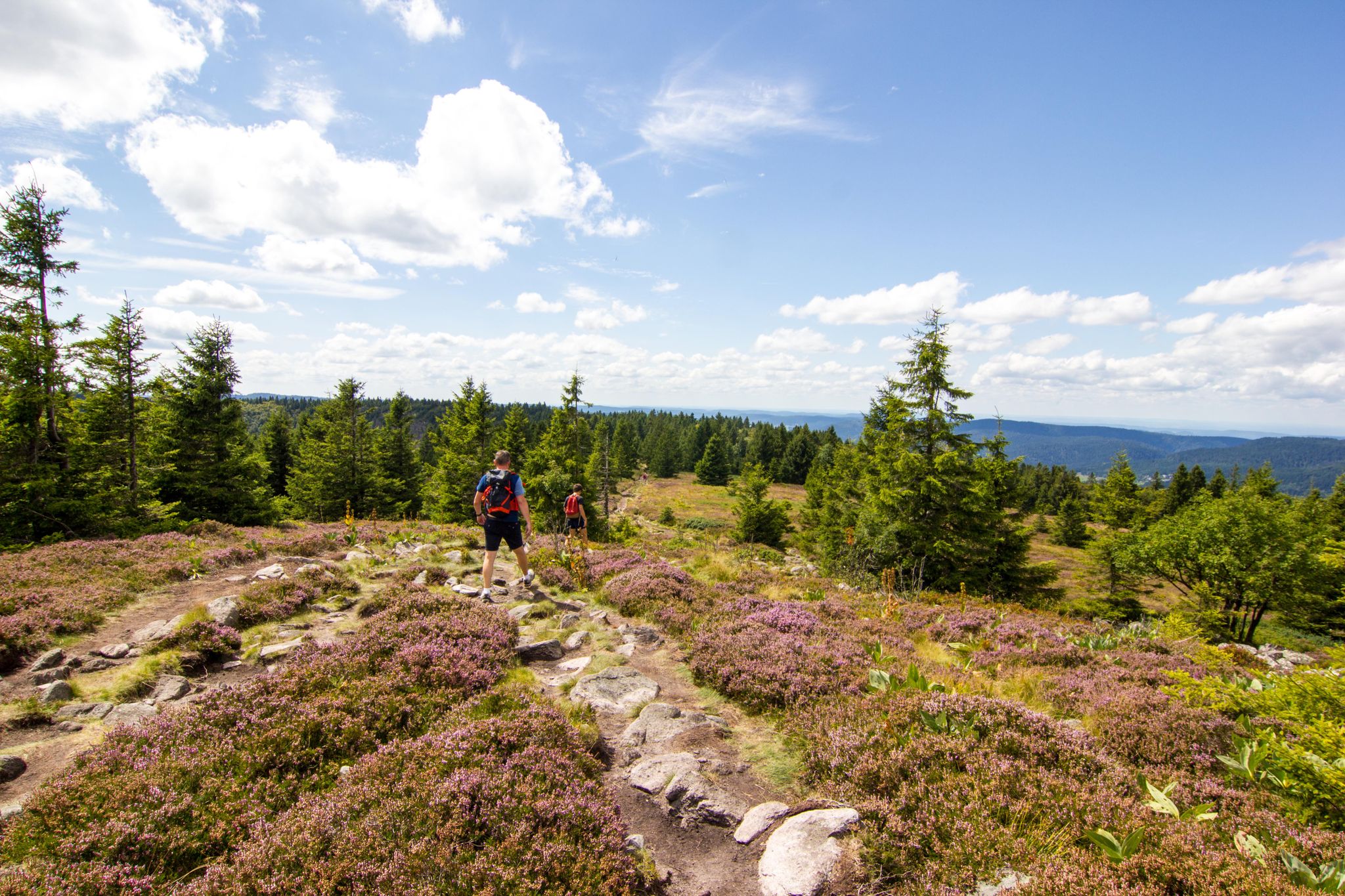
Hiking and relaxation – wellbeing on the Traversée des Vosges
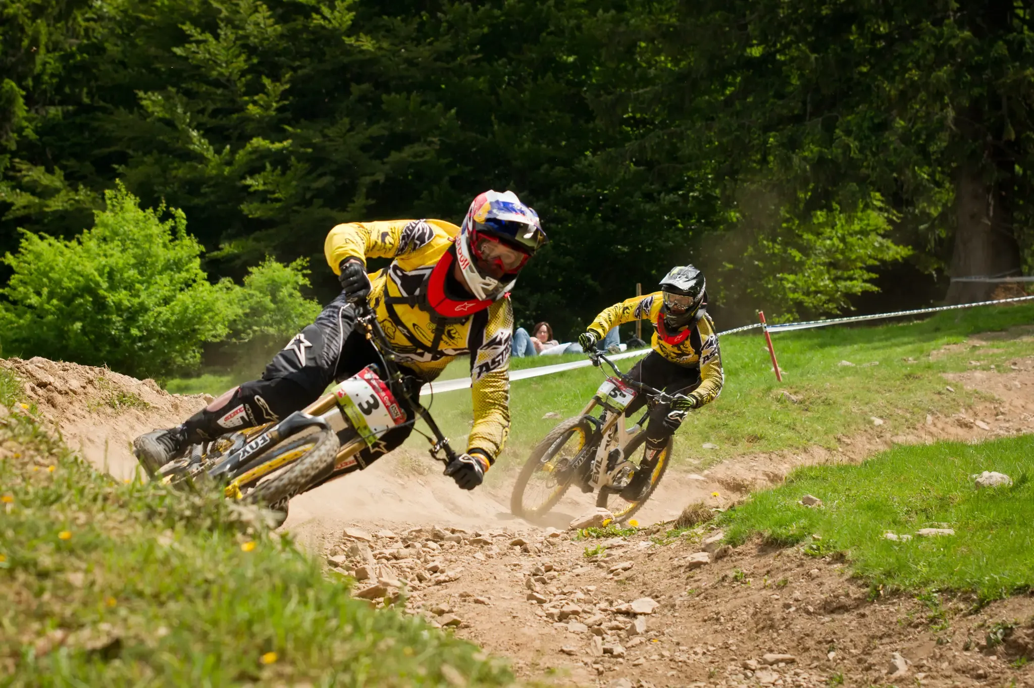
Bike parks around Baden-Württemberg
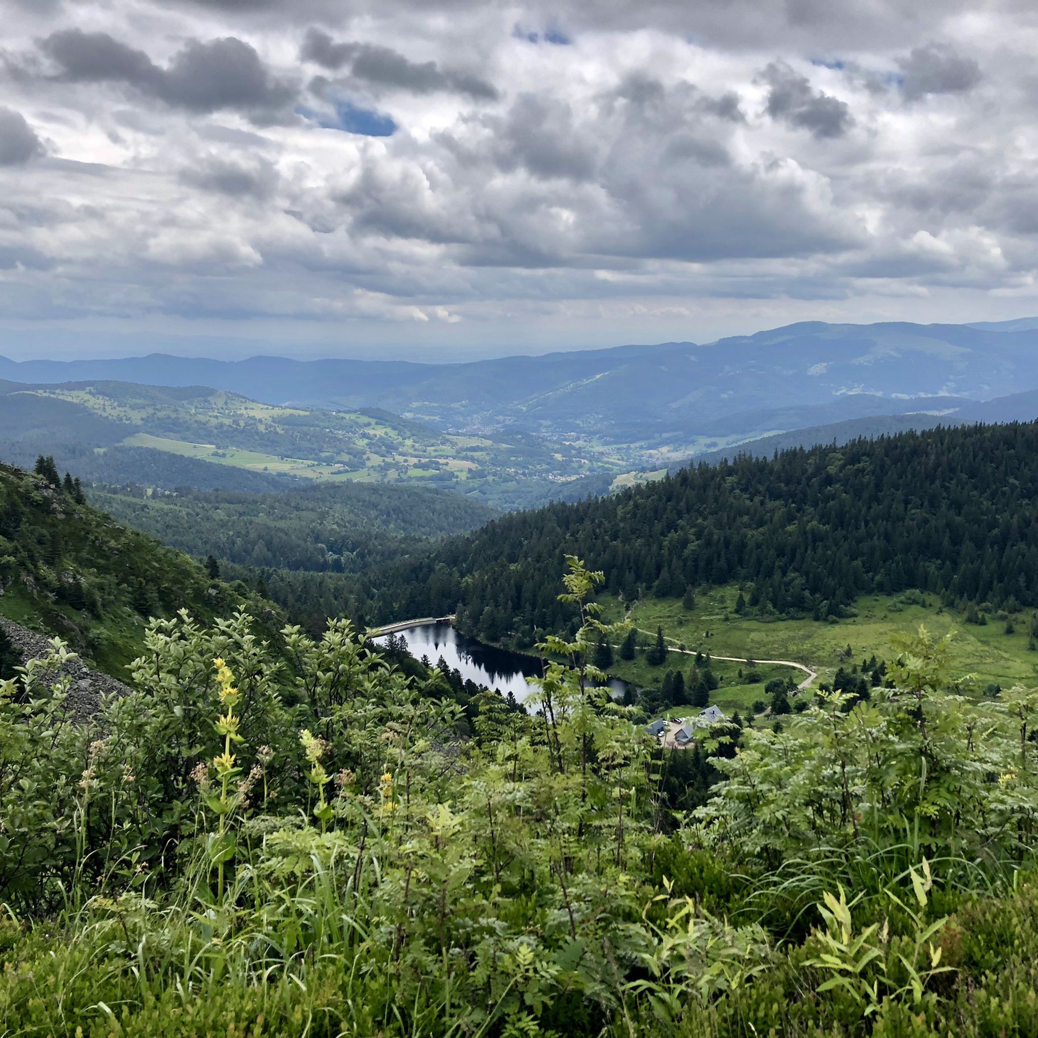
Hiking around Diedolshausen
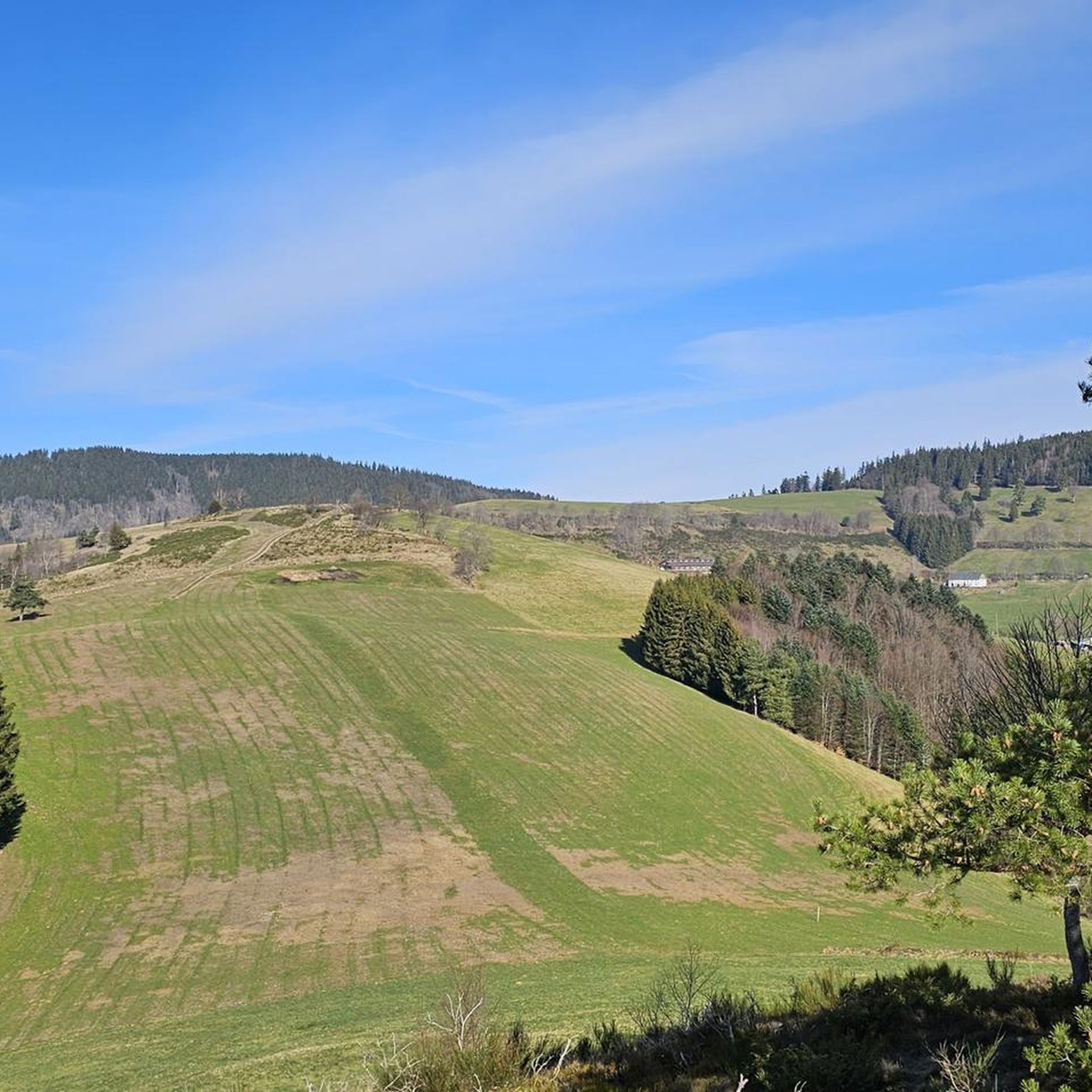
MTB Trails around Diedolshausen
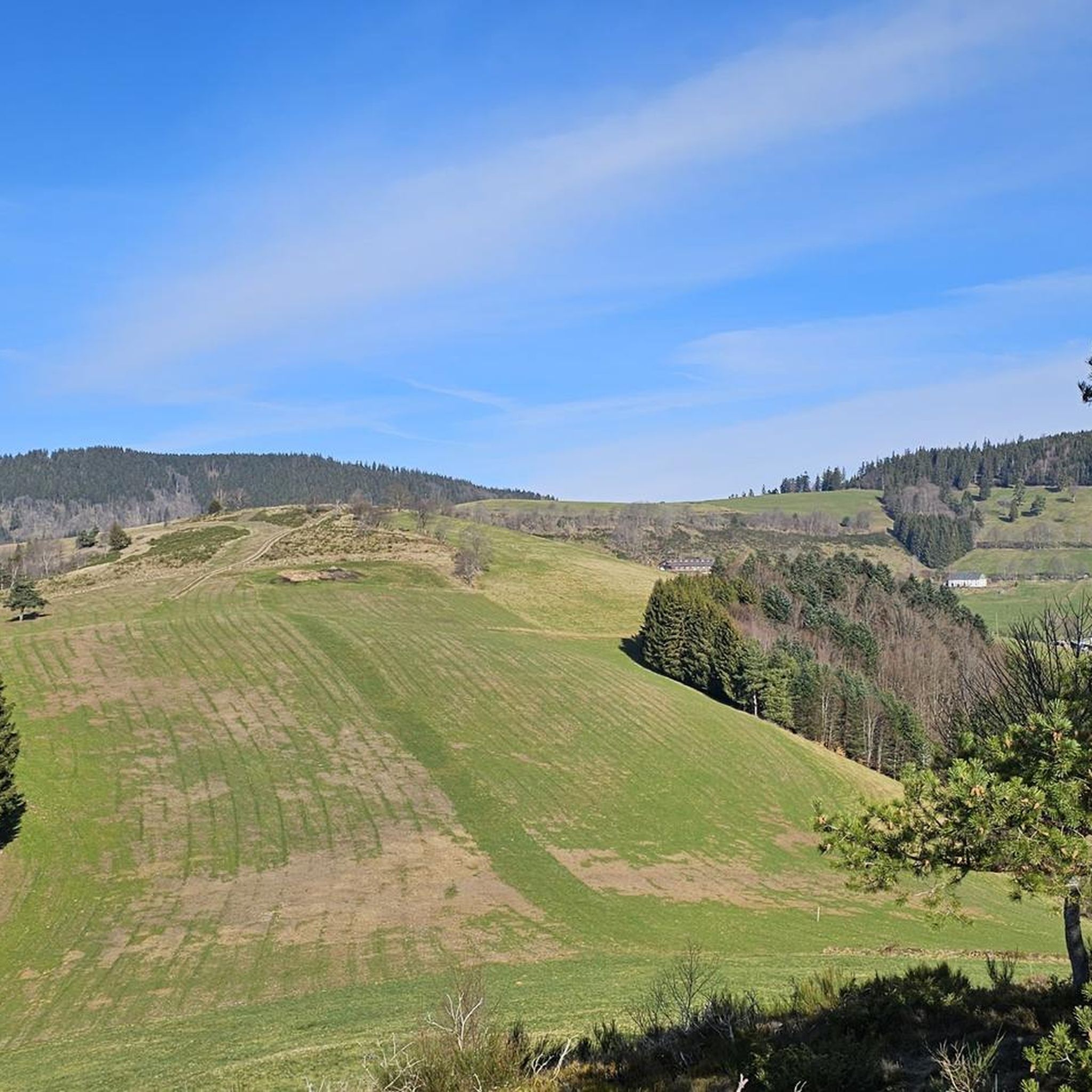
Road Cycling Routes around Diedolshausen
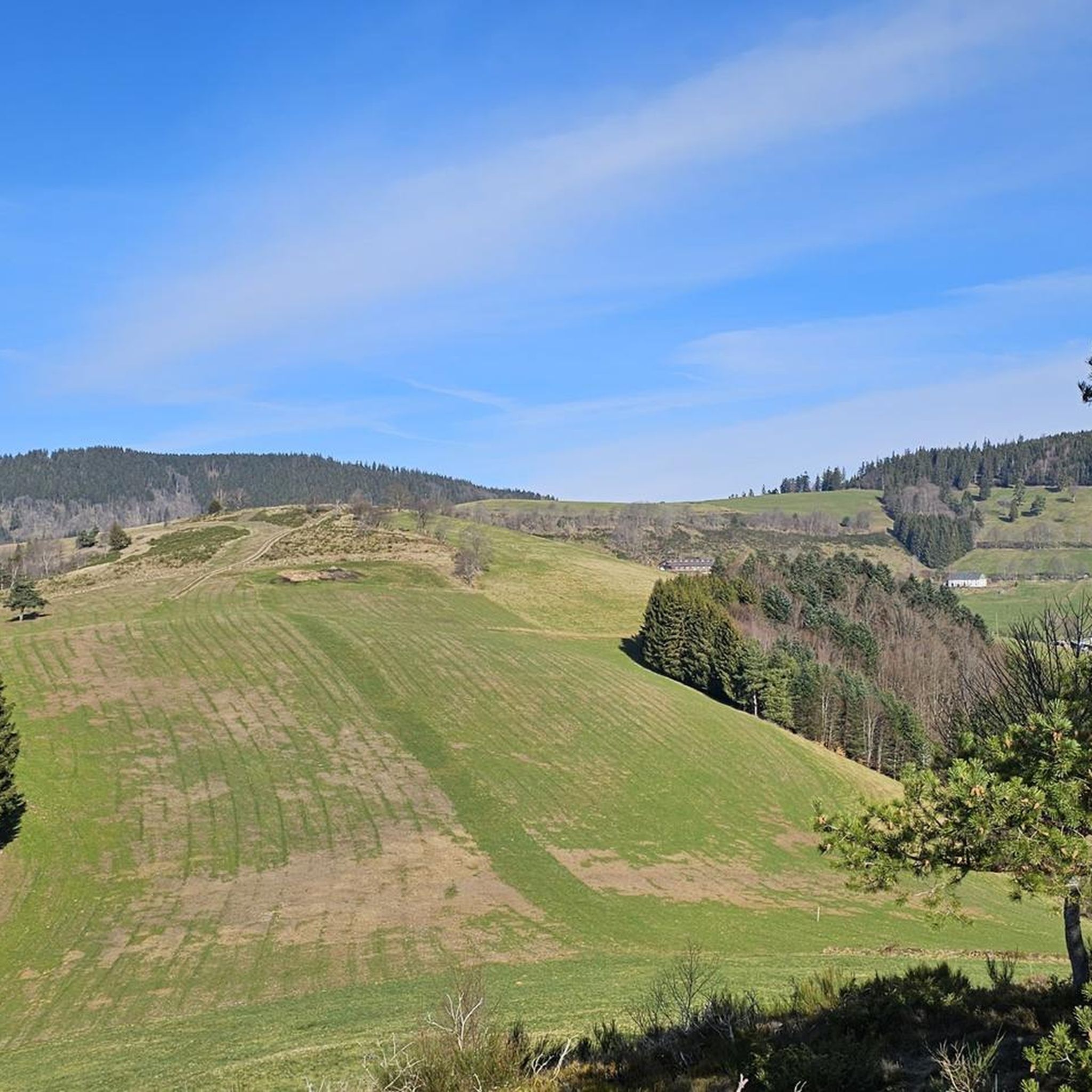
Cycling around Diedolshausen
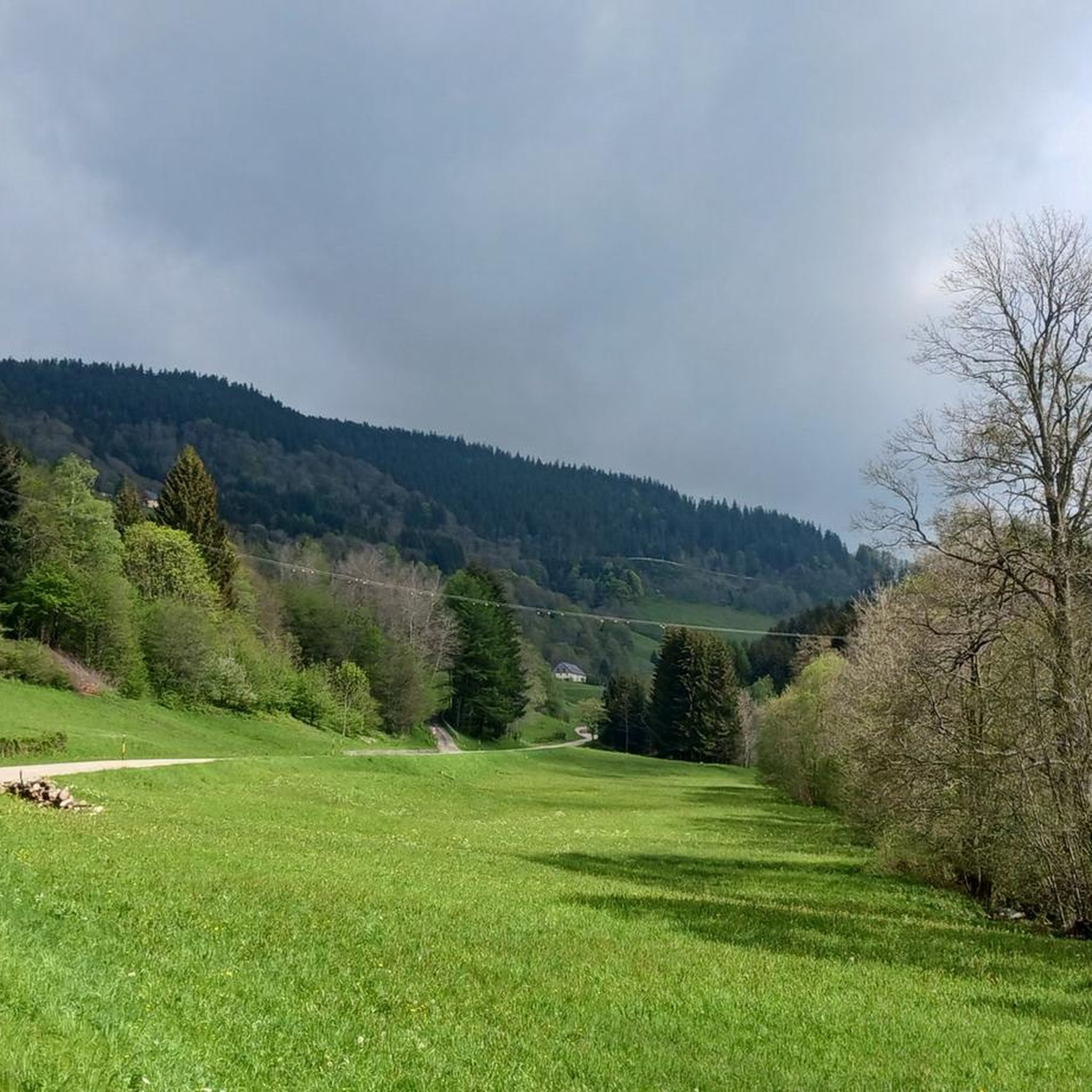
Running Trails around Diedolshausen

Mountain Hikes around Diedolshausen
Other adventures around Diedolshausen


Tips from the Community

Very pretty are these crooked half-timbered houses right on the water!
0
0

The vastness and the quiet leave a beautiful story in your mind.
0
0

very rocky and bumpy, slippery when wet
0
0

Eyes wander, little hands nibble... everywhere are the most delicious, sweetest grapes ever!
0
0

Vineyards wherever you look - a unique sight.
7
0

Bridge over the Weiss with a beautiful view of the old town and the castle.
7
0

A stunning view of the Kaysersberg Valley—perfect for a short break and to enjoy the picturesque landscape with vineyards and half-timbered houses. A real highlight of this tour!
0
0

Camping Miclo-André is also a wonderful camping. Beautiful places, electricity, sanitary facilities & picnic bench. Easy to book by mail or telephone. And above all, no price.
9
0
Frequently Asked Questions
How many gravel bike trails are available around Diedolshausen?
Diedolshausen offers a selection of over 20 gravel bike trails, catering to various skill levels. The majority of these routes are considered difficult, with a few moderate options available.
What kind of terrain can I expect on gravel bike trails in Diedolshausen?
The gravel bike trails around Diedolshausen are characterized by the varied terrain of the Vosges mountains. You'll encounter a mix of forested paths, challenging mountain passes, and scenic loops around picturesque lakes. Significant elevation changes are common, providing both rewarding climbs and descents.
What do other gravel bikers say about the trails in Diedolshausen?
The gravel biking routes in Diedolshausen are highly rated by the komoot community, with an average score of 4.6 stars from over 10 reviews. More than 100 gravel bikers have explored the varied terrain, often praising the challenging climbs and beautiful natural scenery.
Are there any longer gravel bike routes for experienced riders in Diedolshausen?
Yes, for experienced riders looking for a longer challenge, consider the Kaysersberg – View of the Kaysersberg Valley loop from Orbey. This difficult route spans over 50 km and features substantial elevation gain, offering extensive views and a demanding ride.
Are there any circular gravel bike routes in Diedolshausen?
Many of the gravel bike routes in Diedolshausen are designed as loops. For example, the Haut de Ribeauvillé Pass – Haut de Ribeauvillé Pass loop from Zillardhof is a 25.5 km trail that takes you through mountain passes and forests, bringing you back to your starting point.
What are some notable natural attractions or viewpoints along the gravel trails?
Along the gravel trails, you can discover several natural attractions and viewpoints. Highlights include the stunning Lac Blanc, the serene Lac du Forlet, and the scenic Taubenklangfelsen Viewpoint. You can also find impressive peaks like Gazon du Faing and Le Tanet Summit.
Are there any moderate gravel bike trails in the area?
While most routes are difficult, there are a couple of moderate options. The Black Lake – Lac Blanc loop from Pairis is a moderate 14.4 km trail that features significant elevation gain through forested areas, typically completed in about 1 hour 19 minutes.
What is the best time of year for gravel biking in Diedolshausen?
Given the mountainous terrain and forested paths, spring through autumn generally offers the most favorable conditions for gravel biking in Diedolshausen. The region's elevation means weather can change, so checking local forecasts is always recommended.
Are there any routes that pass by Lac Blanc?
Yes, Lac Blanc is a prominent feature in the region. The Bikepark Lac Blanc – Lac Blanc loop from Rocher Hans is a difficult 23.1 km path that includes substantial climbing and descends around Lac Blanc, offering fantastic views of the lake.
What is the typical duration for a gravel bike ride in Diedolshausen?
Ride durations vary significantly based on the route's length and difficulty. For instance, a moderate route like the Black Lake – Lac Blanc loop from Pairis can take around 1 hour 19 minutes, while longer, more difficult routes such as the Bikepark Lac Blanc – Route des Crêtes loop from Col du Bonhomme can extend to over 3.5 hours.
Are there any routes that offer views of the Route des Crêtes?
Yes, the Bikepark Lac Blanc – Route des Crêtes loop from Col du Bonhomme is a challenging 44.3 km route that incorporates sections with views of the famous Route des Crêtes, providing a memorable experience through the Vosges mountains.
Most popular routes around Diedolshausen
Most popular attractions around Diedolshausen

Get inspired with the komoot mobile app


Explore more
Browse the best Gravel rides in other regions.
