The best gravel rides around Lautenbachzell
4.7
(37)
434
riders
54
rides
Gravel biking around Lautenbachzell, nestled in the Florival Valley at the foot of the Vosges mountains, offers varied terrain within the Parc naturel régional des Ballons des Vosges. The region is characterized by a mix of quiet country roads, forest tracks, and farm tracks, providing diverse surfaces for gravel cyclists. Significant elevation changes are present, with altitudes ranging from 427m to over 1400m, presenting challenging routes through forests and vineyards. This mid-mountain setting provides a dynamic and engaging gravel biking…
Last updated: October 6, 2026
4.9
(8)
73
riders
59.3km
04:25
1,520m
1,520m
Hard gravel ride. Very good fitness required. Mostly paved surfaces. Suitable for all skill levels.
5.0
(1)
15
riders
50.3km
03:20
430m
430m
Moderate gravel ride. Good fitness required. Mostly paved surfaces. Suitable for all skill levels.

12
riders
47.1km
03:51
1,350m
1,350m
Hard gravel ride. Very good fitness required. Mostly paved surfaces. Suitable for all skill levels.
5.0
(1)
22
riders
32.3km
02:19
650m
650m
Hard gravel ride. Very good fitness required. Mostly paved surfaces. Suitable for all skill levels.
9
riders
72.4km
06:17
1,910m
1,910m
Hard gravel ride. Very good fitness required. Mostly paved surfaces. Suitable for all skill levels.
Get access to more routes and recommendations from other explorers.
Already have an account?
Our route recommendations are based on thousands of hikes, rides, and runs completed by other people on komoot.
Start today with a free account
Your next adventure awaits.
Popular around Lautenbachzell

Hiking to the summits – France's highest points

Thatches, lakes and forests – Tour des Ballons des Vosges
Hiking around Lautenbachzell
MTB Trails around Lautenbachzell
Road Cycling Routes around Lautenbachzell
Cycling around Lautenbachzell
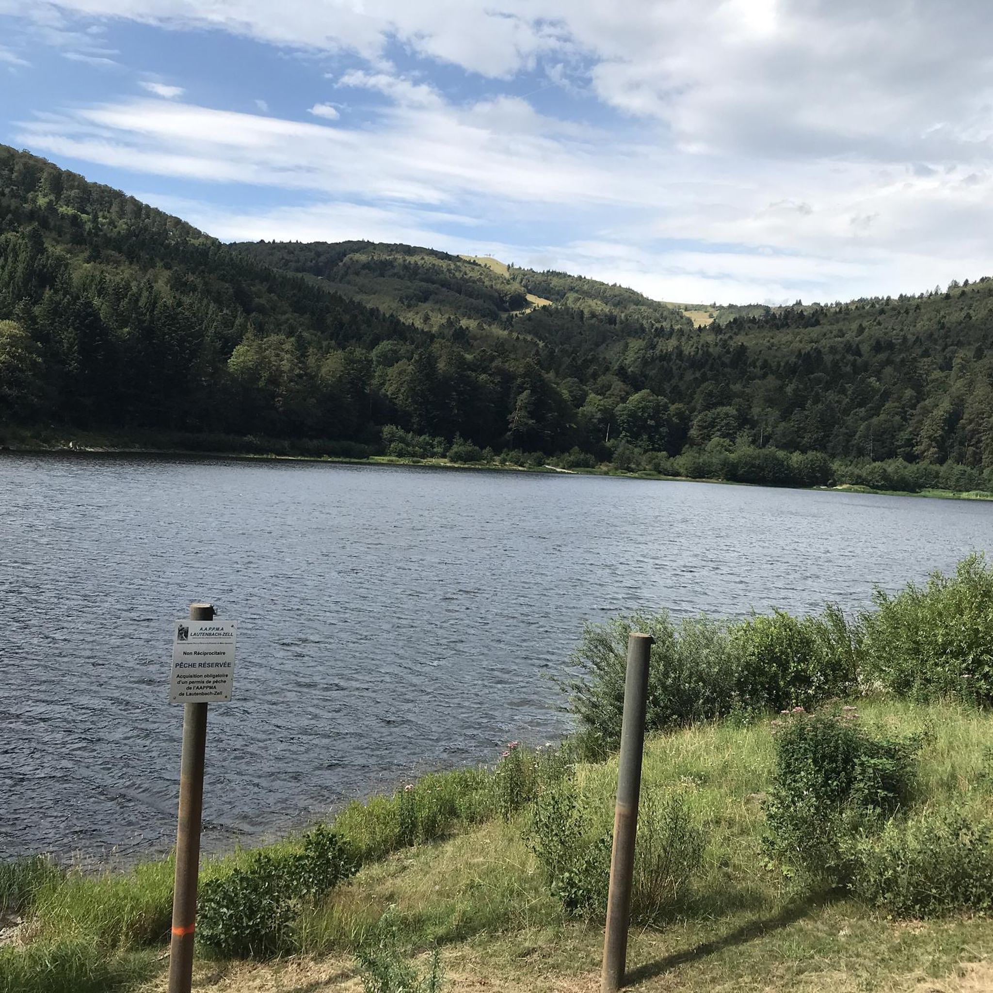
Running Trails around Lautenbachzell
Mountain Hikes around Lautenbachzell


Tips from the Community

When you drive from the Route des Crêtes towards Le Grand Ballon, you pass the Col du Haag (1233 m) almost unnoticed. Yet, this pass marks a special point on the southern flank of the highest mountain in the Vosges. Here, steep roads from the Thurdal leave the wooded slopes and reach the open heights of the massif. From the col, a typical Vosges landscape unfolds with mountain meadows, scattered farms, and sweeping views. The proximity of the Grand Ballon is felt everywhere: the imposing summit towers above the pass and forms the natural goal of the final climbing kilometers. For cyclists, the Col du Haag is mainly known as the point where difficult climbs from the valleys converge before the road continues to rise to the highest point of the Vosges.
6
0
Le Markstein (1184 m) is meer dan alleen een kruispunt op de Route des Crêtes. Het is echter een echte bergpas en het hoogste punt van de oversteek tussen het Lauch- en Thurdal. Het ligt in het hart van het Vogezenmassief, midden een populair wintersportgebied dat nauw verbonden is met de Grand Ballon
6
0

From waypoint 10 to 11 is absolutely not possible by bike
0
0

it's fun to ride up there
0
0
super nice to ride the climb
0
0
great view from up there
0
0
Frequently Asked Questions
How many gravel bike trails are available around Lautenbachzell?
There are over 60 gravel bike trails around Lautenbachzell, offering a wide range of experiences. The majority of these routes are considered difficult, with 48 challenging options, 17 moderate trails, and 1 easy route, ensuring there's something for every skill level.
What kind of terrain can I expect on gravel bike routes in Lautenbachzell?
Gravel biking around Lautenbachzell offers incredibly varied terrain. You'll encounter a mix of quiet country roads, forest tracks, and farm tracks. The region, nestled in the Florival Valley at the foot of the Vosges mountains, features significant elevation changes, taking you through dense forests, scenic vineyards, and mountainous landscapes within the Parc naturel régional des Ballons des Vosges.
Are there any challenging gravel bike routes for experienced riders?
Yes, Lautenbachzell is known for its challenging gravel routes with significant elevation gains. For instance, the Markstein – Haag Pass loop from Grand Ballon is a difficult 72 km route with nearly 2000 meters of ascent. Another demanding option is the Col de Bramont – La route des crêtes loop from Grand Ballon, covering 66 km with over 1400 meters of climbing through mountainous terrain.
What are some scenic highlights or viewpoints along the gravel trails?
Many gravel trails offer stunning panoramic views, especially as you ascend into the Vosges mountains. The Markstein – Grand Ballon loop from Geishouse, for example, traverses forests and provides expansive views of the Vosges. You can also find viewpoints like the Viewpoint at the Rehbrunnel shelter, or explore mountain passes such as Markstein and Haag Pass, which offer picturesque vistas.
Are there any circular gravel bike routes in the area?
Yes, many of the gravel routes around Lautenbachzell are designed as loops, allowing you to start and end in the same location. Popular circular routes include the Col de Bramont – La route des crêtes loop from Grand Ballon and the Munsteraeckerle Shelter – Fontaine Schlumberger loop from Guebwiller, which takes you through varied forest and mountain terrain.
What do other gravel bikers say about the trails in Lautenbachzell?
The gravel biking routes in Lautenbachzell are highly rated by the komoot community, with an average score of 4.6 stars from over 39 reviews. Riders often praise the diverse landscapes, the challenging climbs, and the opportunity to explore both dense forests and scenic vineyards.
Are there any places to stop for food or accommodation along the routes?
While specific pub stops on every route aren't detailed, the region offers various options. You might encounter farm inns like the Kahlenwasen Farm Inn or the Haag Farm, and the Grand Ballon Chalet Hotel. The nearby Alsace Wine Route also offers charming villages with various dining and accommodation choices.
What is the best time of year for gravel biking in Lautenbachzell?
The region is generally excellent for outdoor activities. While specific seasonal details for gravel biking aren't provided, the varied terrain through forests and vineyards suggests spring, summer, and autumn would offer pleasant conditions. Winter might be challenging due to snow, especially at higher altitudes in the Vosges mountains.
Can I combine gravel biking with exploring nearby attractions?
Absolutely! Lautenbachzell is situated within the Parc naturel régional des Ballons des Vosges, offering natural beauty. You can explore nearby mountain passes like Petit Ballon Pass or the Firstplan Pass. The famous Alsace Wine Route is also easily accessible, providing opportunities to visit charming villages and vineyards.
Are there any routes that pass through vineyards?
Yes, gravel biking in the broader Guebwiller region, which includes Lautenbachzell, often traverses through vineyards. Routes like the Panoramic view from the vineyards – Historic Streets of Eguisheim loop from Guebwiller offer a mix of natural and cultivated landscapes, allowing you to enjoy the scenic vineyards of Alsace.
Are there any easy or beginner-friendly gravel routes?
While the majority of routes are rated as difficult or moderate, there is at least one easy gravel route available around Lautenbachzell. These routes typically feature smoother surfaces and less significant elevation changes, making them suitable for beginners or those looking for a more relaxed ride.
Most popular routes around Lautenbachzell
Most popular attractions around Lautenbachzell

Get inspired with the komoot mobile app


Explore more
Browse the best Gravel rides in other regions.
