The best gravel rides around Oberburbach
4.4
(13)
164
riders
24
rides
Gravel biking around Oberburbach features routes through a landscape characterized by significant elevation changes, dense forests, and open mountain passes. The region's terrain includes challenging climbs and descents, often leading to expansive views. Water features, such as the Michelbach Dam, are also part of the varied environment. The area offers diverse terrain suitable for different levels of gravel biking enthusiasts, combining paved surfaces with more challenging gravel paths.
Best gravel bike trails around Oberburbach
- The most popular gravel bike trail…
Last updated: October 6, 2026
4.2
(6)
56
riders
52.7km
03:56
1,260m
1,260m
Hard gravel ride. Very good fitness required. Mostly paved surfaces. Suitable for all skill levels.
4.5
(2)
23
riders
35.5km
03:03
1,170m
1,170m
Hard gravel ride. Very good fitness required. Mostly paved surfaces. Suitable for all skill levels.

5.0
(1)
18
riders
74.2km
05:09
1,300m
1,300m
Hard gravel ride. Very good fitness required. Mostly paved surfaces. Suitable for all skill levels.
4.0
(1)
6
riders
27.4km
01:55
370m
360m
Moderate gravel ride. Good fitness required. Mostly paved surfaces. Suitable for all skill levels.
5.0
(1)
19
riders
27.1km
02:21
1,040m
1,040m
Hard gravel ride. Very good fitness required. Mostly paved surfaces. Suitable for all skill levels.
Get access to more routes and recommendations from other explorers.
Already have an account?
Our route recommendations are based on thousands of hikes, rides, and runs completed by other people on komoot.
Start today with a free account
Your next adventure awaits.

Tips from the Community

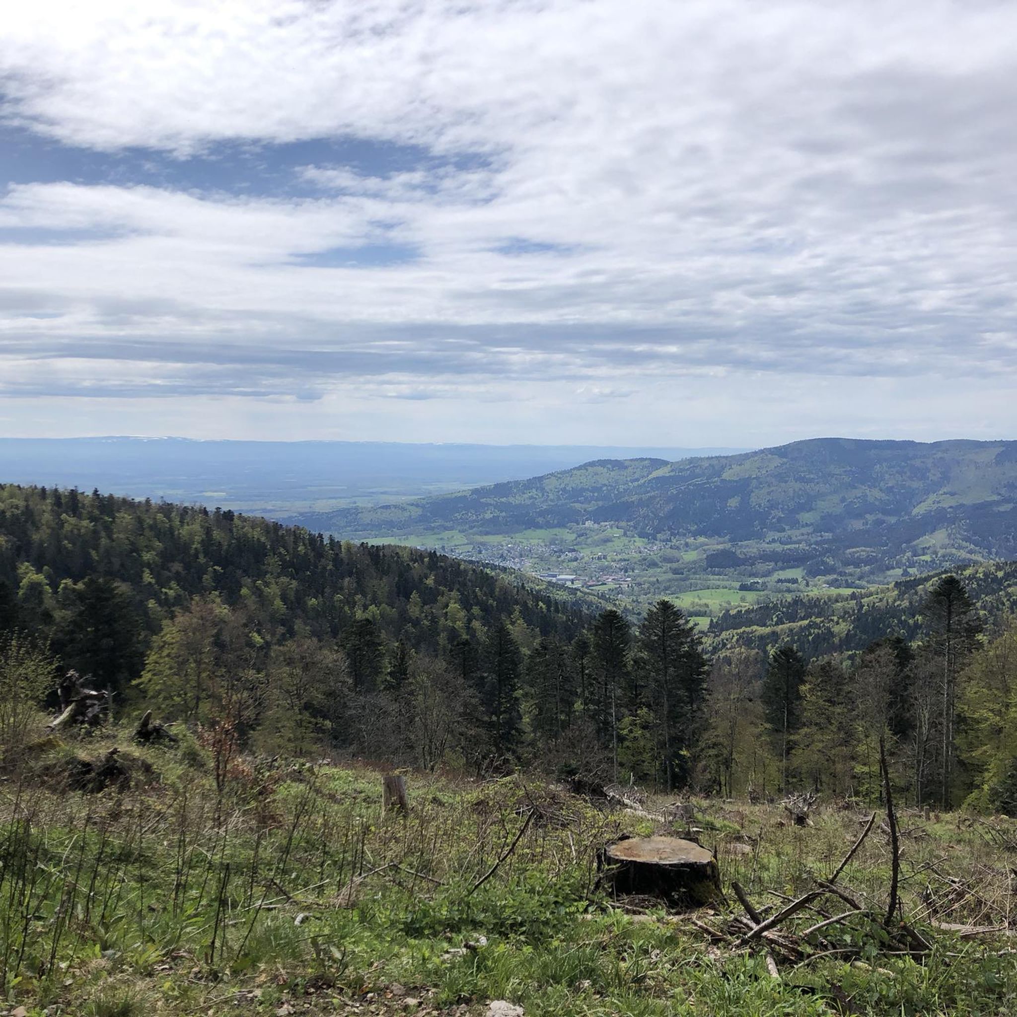
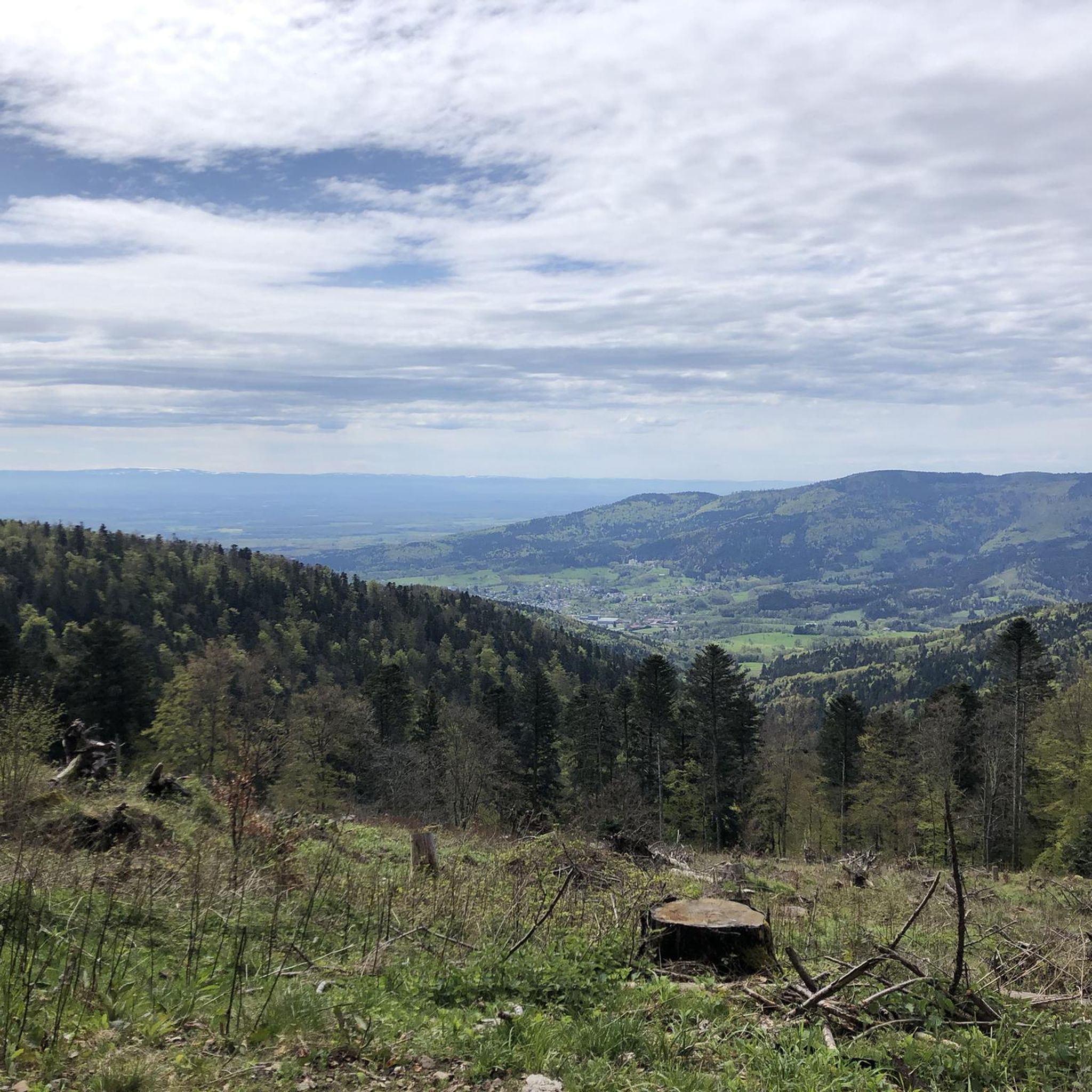
The bare mountain lends itself to beautiful panoramas.
6
0
The Ferme-Auberge du Haag is a traditional mountain inn located near the Col du Haag (1233 m), at the foot of the Grand Ballon. For generations, the farms on the higher Vosges ridges have been welcoming hikers, cyclists, and winter sports enthusiasts. The Haag farm is situated in the middle of mountain pastures, with a beautiful view over the southern Vosges and the Grand Ballon.
6
0
When you drive from the Route des Crêtes towards Le Grand Ballon, you pass the Col du Haag (1233 m) almost unnoticed. Yet, this pass marks a special point on the southern flank of the highest mountain in the Vosges. Here, steep roads from the Thurdal leave the wooded slopes and reach the open heights of the massif. From the col, a typical Vosges landscape unfolds with mountain meadows, scattered farms, and sweeping views. The proximity of the Grand Ballon is felt everywhere: the imposing summit towers above the pass and forms the natural goal of the final climbing kilometers. For cyclists, the Col du Haag is mainly known as the point where difficult climbs from the valleys converge before the road continues to rise to the highest point of the Vosges.
6
0

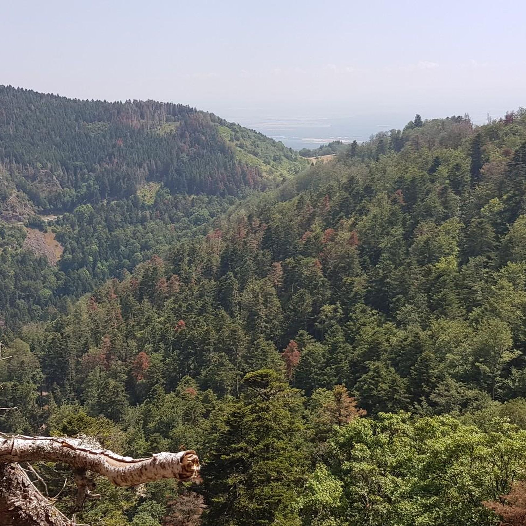
sensational view up to the Alps.
1
0

This old chapel was erected after the French Revolution on the old path to Thann and fell into disrepair over time. In 1932, the community decided to rebuild it. The current small building has a simple nave, an open porch, and a small bell tower with a bell. In front of the chapel stands a statue of the Virgin Mary, which underscores the character of the place as a pilgrimage and devotional site. The chapel is dedicated to the "Mother of God of Perpetual Help" and belongs to the typical small religious monuments of southern Alsace.
1
0

beautiful path to the summit
0
0

The 14th stage led up here to Le Haag and on to the finish at Le Markstein. You could experience the athletes up close.
0
0
Frequently Asked Questions
What is the overall difficulty level of gravel biking trails in Oberburbach?
Gravel biking around Oberburbach is characterized by significant elevation changes, offering a range of challenges. While there is 1 easy route, the majority of the 27 available trails are either moderate (3 routes) or difficult (23 routes), featuring sustained climbing through mountainous terrain and high mountain passes.
Are there any beginner-friendly or family-friendly gravel bike routes in Oberburbach?
Yes, there is 1 easy route available for those new to gravel biking or looking for a more relaxed ride. Additionally, the Michelbach Dam – Chapel of Rammersmatt loop from Thann is a moderate 16.6-mile (26.7 km) trail that might be suitable for families with some biking experience, offering varied landscapes around the Michelbach Dam.
What kind of terrain can I expect on Oberburbach's gravel bike trails?
The terrain in Oberburbach is diverse, featuring dense forests, open mountain passes, and significant elevation changes. You'll encounter challenging climbs and descents, often rewarded with expansive views. Routes also include paths around water features like the Michelbach Dam.
What are some notable viewpoints or scenic spots along the gravel bike routes?
Many routes in Oberburbach lead to expansive views due to the mountainous terrain. Specific highlights include the areas around the Grand Ballon and Col Amic. The Ascent from Soultz to Col du Grand Ballon and the Climb to Col Amic are well-known for their panoramic vistas.
What is the typical length and duration of gravel bike trails in Oberburbach?
The gravel bike trails in Oberburbach vary significantly in length and duration. For instance, the Markstein – Grand Ballon loop from Geishouse is a challenging 40.0-mile (64.4 km) route taking over 5 hours, while the moderate Michelbach Dam – Chapel of Rammersmatt loop from Thann is 16.6 miles (26.7 km) and typically completed in under 2 hours.
Are there any circular gravel bike routes available in Oberburbach?
Yes, many of the gravel bike routes in Oberburbach are designed as loops. Examples include the difficult Grand Ballon – Col Amic Pass loop from Steinbach and the Grand Ballon – Grand Ballon loop from Moosch, both offering comprehensive tours of the mountainous landscape.
What do other gravel bikers say about the trails in Oberburbach?
The gravel biking routes in Oberburbach are highly rated by the komoot community, with an average score of 4.6 stars from over 15 reviews. Users frequently praise the challenging mountain climbs, the beauty of the dense forest paths, and the varied terrain that includes water features like dams.
What are some interesting landmarks or attractions near the gravel bike trails?
Beyond the trails themselves, the region offers several points of interest. You can explore historical sites like the Hartmannswillerkopf National Monument or enjoy natural beauty at Lac des Perches (Star Lake) and Neuweiher Lake. The various mountain passes, such as the Hundsruck Pass, are also significant features.
When is the best season for gravel biking in Oberburbach?
Given the mountainous terrain and potential for snow at higher elevations, late spring through early autumn (May to October) is generally the best season for gravel biking in Oberburbach. During these months, trails are typically clear of snow, and the weather is more favorable for long rides and enjoying the expansive views.
Are there any specific routes that explore the Hundsruck Pass area?
Yes, the Hundsruck Pass – Hundsruck loop from Masevaux-Niederbruck is a difficult 44.5-mile (71.7 km) route specifically designed to explore the Hundsruck Pass area, offering a challenging ride with significant elevation changes.
Where can I find parking for gravel biking trails in Oberburbach?
While specific parking details are not provided for every starting point, many routes begin from towns or villages like Geishouse, Steinbach, Thann, Moosch, or Masevaux-Niederbruck. It is advisable to check local parking options in these areas before your ride.
Most popular routes around Oberburbach
Most popular attractions around Oberburbach

Get inspired with the komoot mobile app


Explore more
Browse the best Gravel rides in other regions.
