The best gravel rides around Bitschweiler
4.6
(45)
615
riders
48
rides
Gravel biking around Bitschweiler is set within the Thur River Valley and the Vosges mountains, offering a diverse landscape for riders. The region features significant elevation changes, with terrain rising from the valley floor to over 1100 meters on forested hillsides and mountain peaks. This area provides a mix of paved roads, forest tracks, and unpaved mountain paths, ideal for varied gravel biking experiences.
Best gravel bike trails around Bitschweiler
- The most popular gravel bike trail is Col Amic Pass…
Last updated: October 6, 2026
5.0
(2)
24
riders
16.9km
01:30
570m
570m
Hard gravel ride. Very good fitness required. Mostly paved surfaces. Suitable for all skill levels.
4.2
(6)
56
riders
52.7km
03:56
1,260m
1,260m
Hard gravel ride. Very good fitness required. Mostly paved surfaces. Suitable for all skill levels.

10
riders
27.4km
02:14
710m
710m
Hard gravel ride. Very good fitness required. Mostly paved surfaces. Suitable for all skill levels.
4.5
(2)
23
riders
35.5km
03:03
1,170m
1,170m
Hard gravel ride. Very good fitness required. Mostly paved surfaces. Suitable for all skill levels.
5.0
(1)
14
riders
21.4km
01:48
680m
680m
Hard gravel ride. Very good fitness required. Mostly paved surfaces. Suitable for all skill levels.
Get access to more routes and recommendations from other explorers.
Already have an account?
Our route recommendations are based on thousands of hikes, rides, and runs completed by other people on komoot.
Start today with a free account
Your next adventure awaits.
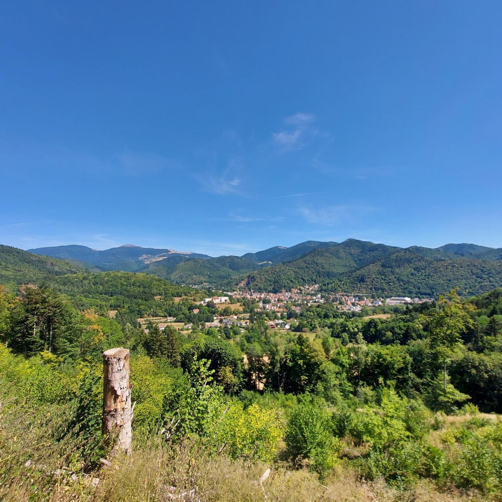
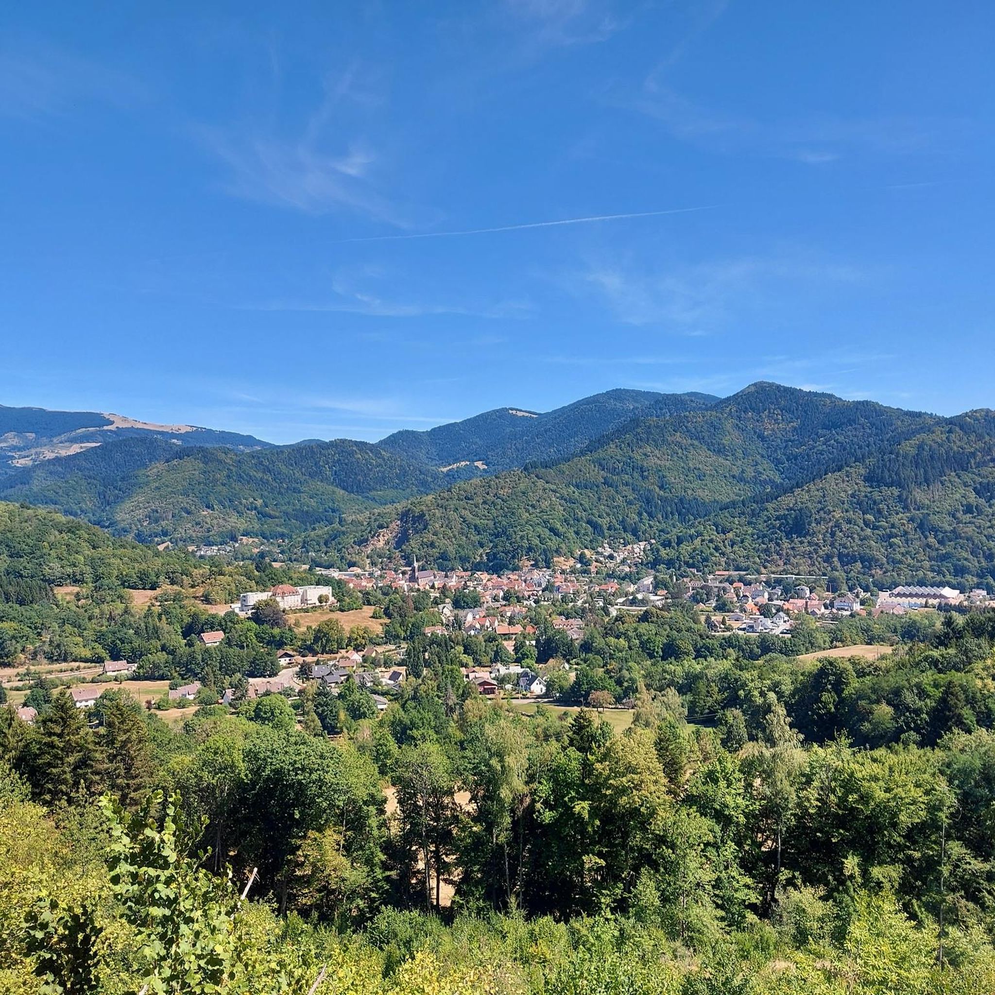
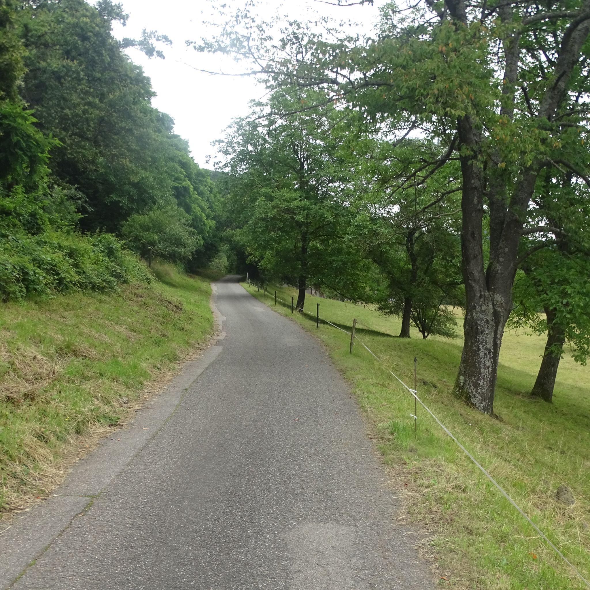
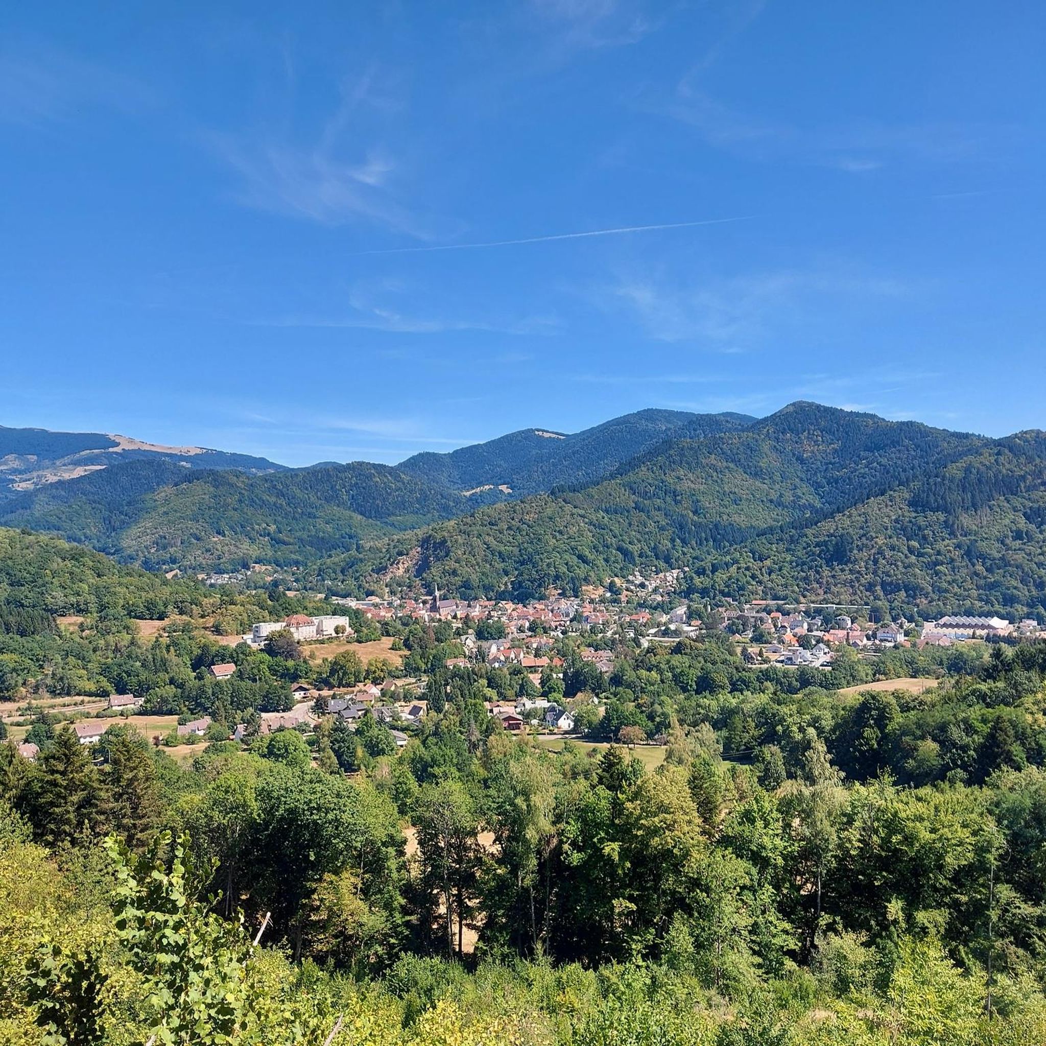
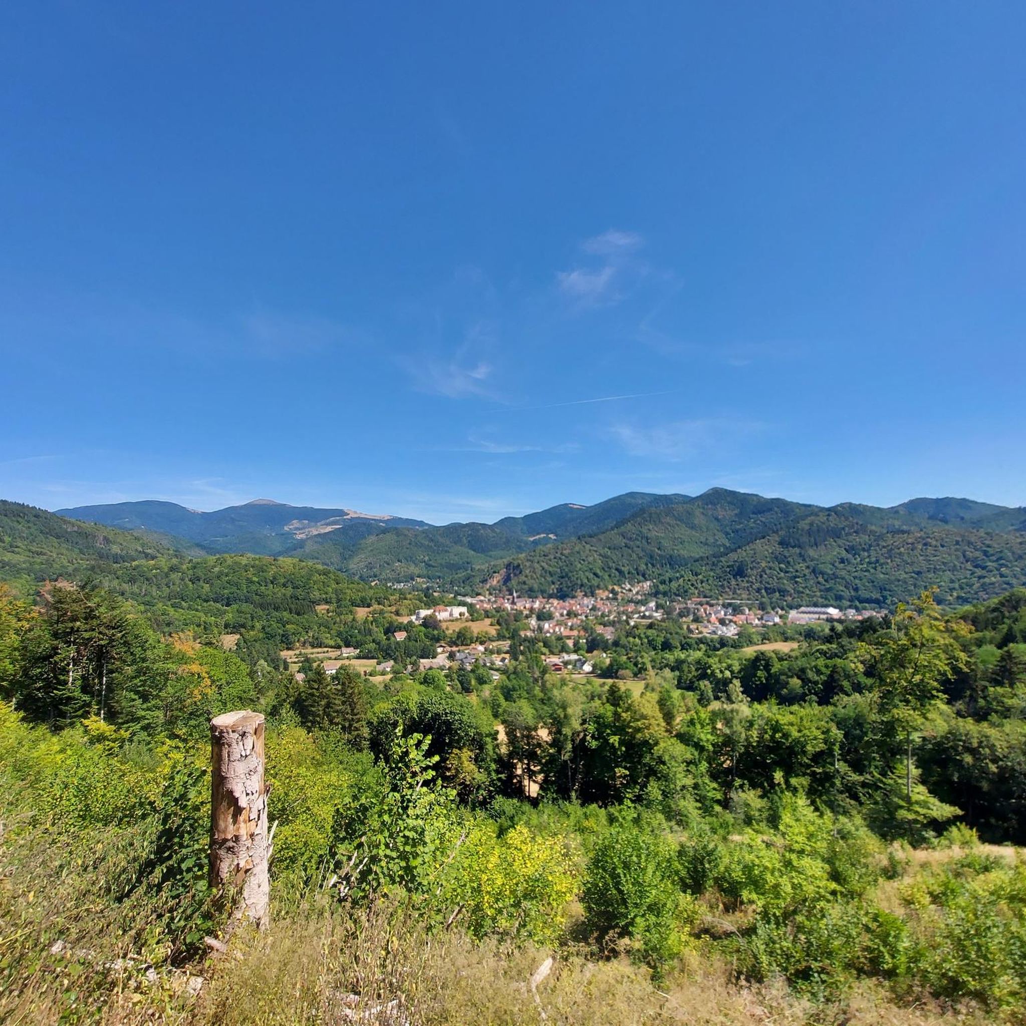
Tips from the Community

Hartmannswiller Kopf - Menschenfresser Kopf ( 30000 senseless victims ) Symbol of horror ( 1914-1918 )
0
0
sensational view up to the Alps.
0
0

beautiful path to the summit
0
0

The 14th stage led up here to Le Haag and on to the finish at Le Markstein. You could experience the athletes up close.
0
0
super nice to ride the climb
0
0
Frequently Asked Questions
How many gravel bike trails are available around Bitschwiller-lès-Thann?
There are over 45 gravel bike trails around Bitschwiller-lès-Thann, offering a wide range of options for different skill levels and preferences. The area is highly rated by the komoot community, with an average score of 4.7 stars from more than 20 reviews.
What kind of terrain can I expect on gravel bike trails in the Bitschwiller-lès-Thann area?
The terrain around Bitschwiller-lès-Thann is incredibly diverse, ranging from the Thur River Valley floor to the high peaks of the Vosges mountains. You'll encounter a mix of paved roads, forest tracks, and unpaved mountain paths. Expect significant elevation changes, with routes climbing from around 357m to over 1100m, offering both challenging ascents and scenic descents through dense forests and high-altitude pastures.
Are there challenging gravel bike routes for experienced riders?
Yes, the Bitschwiller-lès-Thann area is particularly well-suited for experienced gravel bikers, with 36 routes classified as difficult. For a significant ascent and varied mountain terrain, consider the Col Amic Pass – Climb to Grand Ballon loop from Wattwiller, which covers 35.7 km with over 1100m of elevation gain. Another demanding option is the Grand Ballon – Hohneck loop from Cernay, a long 93.3 km route with over 2100m of climbing.
Are there any easy gravel bike trails suitable for beginners around Bitschwiller-lès-Thann?
While many routes in the region are challenging, there are 3 easy gravel bike trails available, along with 6 moderate options. Beginners might look for flatter sections along the Thur River Valley or explore the less steep forest tracks. These routes offer a gentler introduction to gravel biking in the Vosges foothills.
Can I find gravel bike routes that pass by waterfalls?
Yes, the region around Bitschwiller-lès-Thann features several beautiful waterfalls that you can incorporate into your gravel biking adventures. Consider routes that pass by the Siehlbaechle Waterfall or the Bubalafels Waterfall. The Waterfall in Parc Naturel Régional des Ballons des Vosges is also a notable natural attraction.
Are there any historical or cultural attractions to see along the gravel bike trails?
Beyond the natural beauty, the area offers cultural and historical points of interest. You can find routes that pass by sites like the Adlerhorst Command Post – World War I or the Veilchenstein German WW1 Bunker. The St. Alphonse Catholic Church in Bitschwiller-lès-Thann, with its famous 1838 Callinet organ, is also a significant landmark. The region's proximity to the Alsace Wine Route also offers opportunities to combine biking with cultural tours and wine tasting.
Are there gravel bike routes with good viewpoints in the region?
Absolutely. The varied topography of the Vosges mountains provides numerous panoramic viewpoints. Routes often lead to high points like the Thanner Hubel (1184m) or the Massif du Rossberg, offering magnificent views of the Thur and Doller valleys, and on clear days, even the Black Forest and Swiss Alps. Keep an eye out for the Ostein rock, where chamois might be spotted, offering breathtaking views of the Thur valley.
What is the best season for gravel biking around Bitschwiller-lès-Thann?
The best seasons for gravel biking in the Vosges region are generally spring, summer, and autumn. Spring offers lush greenery and blooming landscapes, while summer provides warmer temperatures ideal for longer rides. Autumn is particularly stunning with vibrant fall foliage. Winter can be challenging due to snow and ice, especially at higher elevations, though some lower valley routes might still be accessible.
Are there circular gravel bike routes available?
Yes, many of the gravel bike routes around Bitschwiller-lès-Thann are designed as circular loops, allowing you to start and end at the same point. For example, the Markstein – Grand Ballon loop from Geishouse is a popular 64.4 km circular trail offering extensive climbs and panoramic views. Another option is the Grand Ballon – Col Amic Pass loop from Steinbach, a 52.7 km loop through high-altitude landscapes.
Where can I find parking for gravel biking in Bitschwiller-lès-Thann?
Parking is generally available in and around Bitschwiller-lès-Thann, especially near trailheads or in the town center. Many routes start from villages or designated parking areas in the Regional Natural Park of Ballons des Vosges. It's advisable to check specific route descriptions on komoot for recommended starting points and parking information.
Can I bring my dog on gravel bike trails in the Alsace region?
Many trails in the Alsace region, particularly those in natural parks and forests, are dog-friendly, provided your dog is well-behaved and kept on a leash where required. Always check local regulations for specific trails or protected areas. Ensure your dog is fit enough for the ride and bring plenty of water for both of you.
What do other gravel bikers enjoy the most about gravel biking in Bitschwiller-lès-Thann?
The area is highly rated by the komoot community, with an average score of 4.7 stars. Reviewers often praise the diverse landscapes, from the challenging mountain ascents to the serene forest tracks. The panoramic views from peaks like the Thanner Hubel and the immersive experience of riding through the untamed nature of the Vosges mountains are frequently highlighted as major draws.
Most popular routes around Bitschweiler
Most popular attractions around Bitschweiler

Get inspired with the komoot mobile app


Explore more
Browse the best Gravel rides in other regions.
