The best gravel rides around Rivière-Sur-Tarn
4.5
(57)
370
riders
23
rides
Gravel biking around Rivière-Sur-Tarn offers routes through the dramatic landscapes of the Gorges du Tarn region. The terrain is characterized by limestone plateaus, deep river canyons, and varied elevations, providing a mix of challenging climbs and scenic descents. Riders can expect paths that traverse rural areas, connect small villages, and offer views of the Tarn River. The region's geology ensures a diverse riding experience on unpaved roads and trails.
Best gravel bike trails around Rivière-Sur-Tarn
- The most popular gravel bike…
Last updated: November 2, 2026
4.9
(14)
74
riders
53.3km
03:40
860m
860m
Hard gravel ride. Very good fitness required. Mostly paved surfaces.
4.7
(6)
29
riders
47.3km
03:19
820m
810m
Hard gravel ride. Very good fitness required. Mostly paved surfaces.

28
riders
34.5km
02:18
500m
500m
Hard gravel ride. Very good fitness required. Mostly paved surfaces.
5.0
(4)
24
riders
50.8km
03:33
1,030m
1,030m
Hard gravel ride. Very good fitness required. Mostly paved surfaces.
5.0
(2)
9
riders
20.9km
01:28
190m
190m
Moderate gravel ride. Good fitness required. Mostly paved surfaces.
Get access to more routes and recommendations from other explorers.
Already have an account?
Our route recommendations are based on thousands of hikes, rides, and runs completed by other people on komoot.
Start today with a free account
Your next adventure awaits.
Tips from the Community

In the heart of Creissels, the Pesquié basin forms a surprisingly vast body of water (1,000 m²) compared to the modest stream that feeds it. Its name, which comes from Occitan and means "fish pond", recalls the ancient purpose of the place, linked to fish farming. The town hall now occupies the premises of a former fish farm. The basin is fed by the Creissels waterfall, a typical resurgence of the karst functioning of the Larzac: the water infiltrated into the limestones of the plateau reappears after an underground journey. In September 2023, the municipality dredged the basin and created a spawning ground for brown trout (Salmo trutta). The restoration has borne fruit, as trout have since recolonized the body of water, alongside amphibians and other aquatic organisms that find refuge in the surrounding wetland.
3
0
On the Maladrerie, the Parc Aquavagues transforms an arm of the Tarn into a real whitewater stadium. Over about 300 m, waves, currents and counter-currents allow for kayaking, rafting and hydrospeed, up to the training of experienced practitioners and competitions.
3
0
From this point at the foot of the structure, the regular succession of piers and guyed pylons can be particularly well distinguished. The deck, 2,460 m long, crosses the valley at a height of approximately 270 m above the Tarn. Pier P2, the tallest, culminates at 245 m, while the assembly formed by the pier and its pylon reaches 343 m: a height greater than that of the Eiffel Tower. This perspective also recalls the technical feat that the construction of the viaduct represented. The metal deck was assembled in sections from either side of the valley, then progressively launched across the void. The joining of the two parts was carried out on May 28, 2004, 268 m above the Tarn, before the official inauguration a few months later. An interesting detail can be discerned here: despite its exceptional dimensions, the structure appears remarkably light. This impression is not accidental. The viaduct was specifically designed to blend into the valley by limiting the visual impact of its structure, with a very slender deck and piers that branch out in a "Y" shape.
3
0

Absolutely worth seeing - view it from below and definitely join the architecture tour.
0
0

As a local and a cyclist, I can confirm that the scenery is magnificent and the small roads are ideal for cycling, provided you avoid the peak period from July 15th to August 15th. However, I regret that you only mention the village of Le Rozier in the route descriptions, while the photos are mostly of Peyreleau, a superb, unspoiled village, away from the traffic of the gorges, which it faces on the other side of the Jonte River! Note: Le Rozier is in Lozère, while Peyreleau is in Aveyron.
0
0

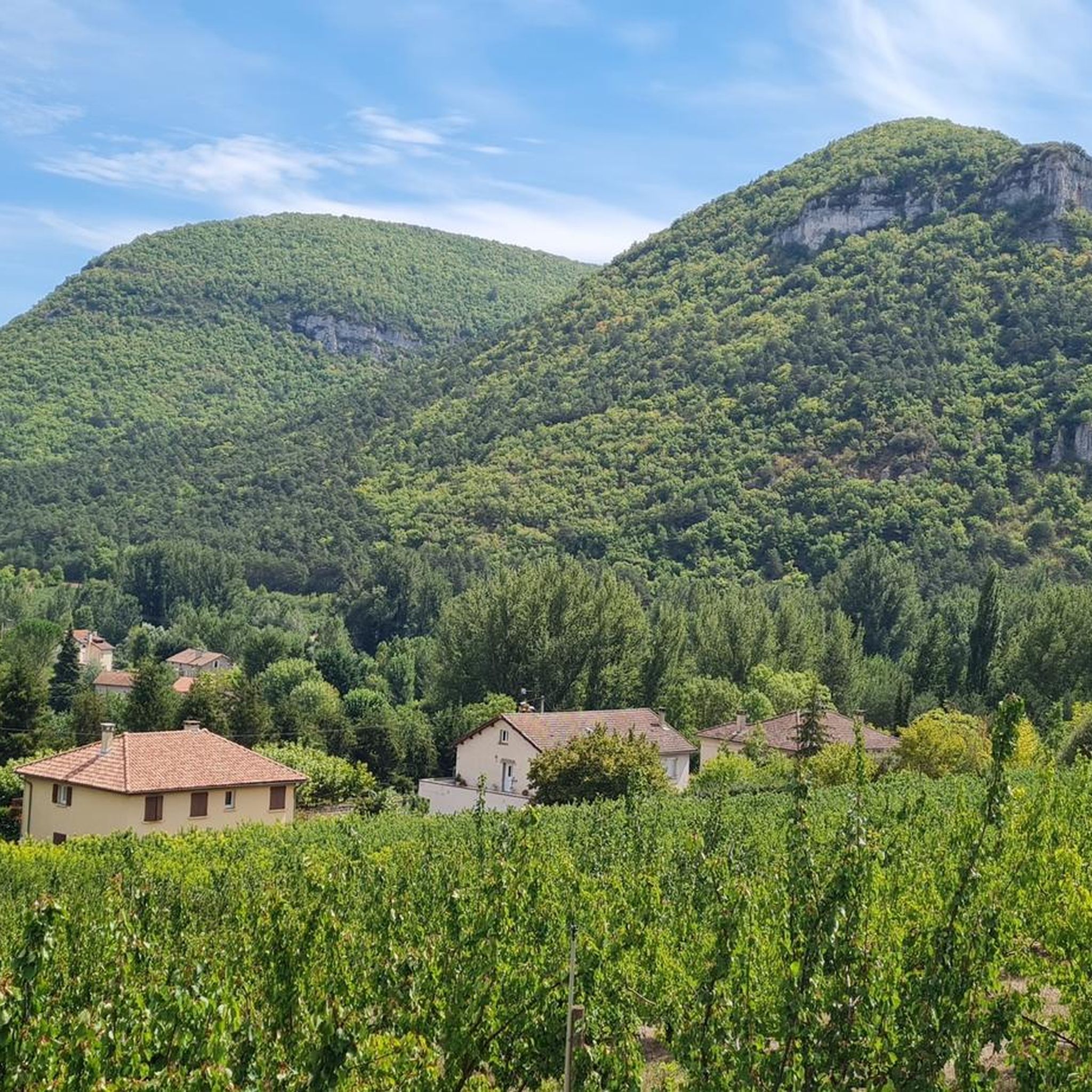
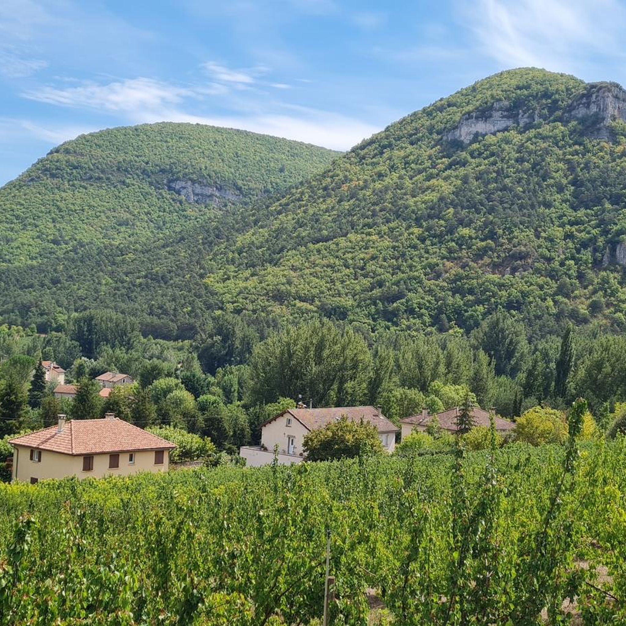
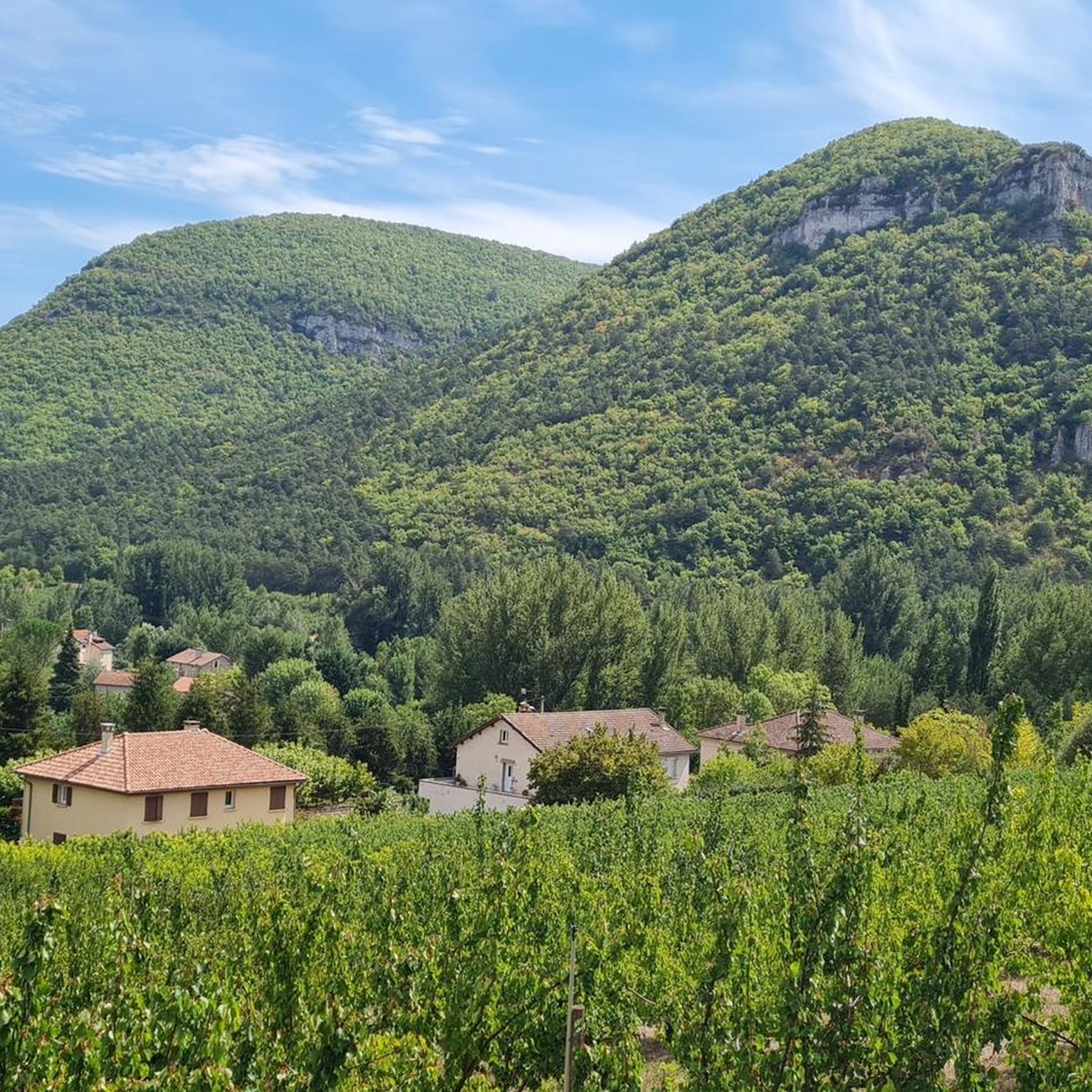
One of many beautiful views in the Tarn Valley
1
0
Here, water is tapped from the Tarn to irrigate a forest watercourse.
0
0
Frequently Asked Questions
How many gravel bike trails are there in Rivière-Sur-Tarn?
Rivière-Sur-Tarn offers a diverse network of over 20 gravel bike trails. These routes cater to various skill levels, ranging from easy to difficult, and are highly rated by the komoot community.
What is the best time of year for gravel biking in Rivière-Sur-Tarn?
The Gorges du Tarn region generally experiences pleasant conditions for gravel biking from spring through autumn. Summer months can be warm, but the dramatic canyon landscapes often provide shaded sections. Spring and early autumn offer milder temperatures, ideal for longer rides.
Are there easy gravel bike trails suitable for beginners?
Yes, Rivière-Sur-Tarn has options for beginners. There are 2 easy routes and 7 moderate routes available. For a moderate option that features sections of flowtrail, consider the Flowtrail – Former Cade farm loop from Parking du Haut de Côte, which is 15.7 miles (25.3 km) long.
What about more challenging gravel routes for experienced riders?
Experienced riders will find plenty of challenging options, with 14 difficult routes in the area. A demanding ride is the Peyreleau – Gorges du Tarn loop from Boyne, a 31.5 miles (50.8 km) trail with significant elevation gain, offering expansive views of the canyon and river.
Are there any circular gravel bike routes in Rivière-Sur-Tarn?
Many of the gravel routes in Rivière-Sur-Tarn are designed as loops, allowing you to start and finish at the same point. An example is the Le Rozier – Peyrelau Village loop from Mostuéjouls, a 33.0 miles (53.0 km) difficult route connecting two notable villages.
Where can I find parking for gravel bike trails in Rivière-Sur-Tarn?
Many routes, such as the Flowtrail – Former Cade farm loop, start from designated parking areas like Parking du Haut de Côte. Trailheads in and around villages like Mostuéjouls and Boyne also typically offer parking facilities. It's advisable to check the specific tour details on komoot for exact starting points and parking information.
What kind of views or natural landmarks can I expect along the gravel routes?
The gravel routes in Rivière-Sur-Tarn traverse the dramatic Gorges du Tarn region, offering stunning views of limestone plateaus and deep river canyons. You can expect to see numerous viewpoints, such as the Vertigo Viewpoint or the View from Pouncho d'Agast. The routes often follow the Tarn River itself, providing picturesque riverside scenery.
Are there opportunities for wild swimming near the gravel trails?
The Tarn River, which carves through the region, offers various spots for swimming. While not explicitly marked on all gravel routes, many trails run alongside or cross the river, providing opportunities to find refreshing swimming spots, especially during warmer months. The The Tarn highlight provides more context on the river itself.
Can I find places to stop for refreshments or a cafe along the routes?
Many gravel routes connect small villages in the region. These villages often have local cafes, bakeries, or small shops where you can stop for refreshments. Routes like the Le Rozier – Peyrelau Village loop pass through notable villages, increasing the likelihood of finding a place to refuel.
What do other gravel bikers say about the trails in Rivière-Sur-Tarn?
The gravel biking trails in Rivière-Sur-Tarn are highly rated by the komoot community, with an impressive average score of 4.8 stars from over 30 reviews. Riders frequently praise the diverse terrain, the stunning canyon views, and the well-maintained unpaved roads that connect charming rural areas and villages.
Are there family-friendly gravel biking options in Rivière-Sur-Tarn?
While many routes feature varied elevations, there are easier and moderate options that could be suitable for families with some biking experience. The 2 easy and 7 moderate routes provide less strenuous alternatives. Always check the specific route's difficulty and elevation profile on komoot to ensure it matches your family's capabilities.
Most popular routes around Rivière-Sur-Tarn
Most popular attractions around Rivière-Sur-Tarn

Get inspired with the komoot mobile app


Explore more
Browse the best Gravel rides in other regions.
