The best gravel rides around Verel-De-Montbel
4.8
(16)
59
riders
8
rides
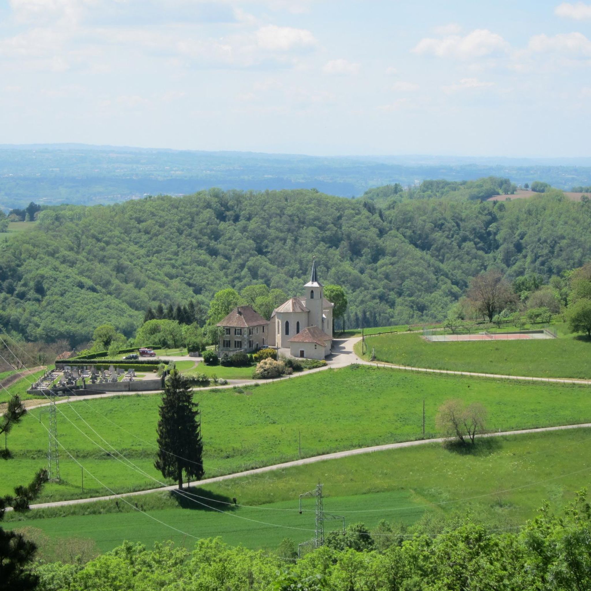
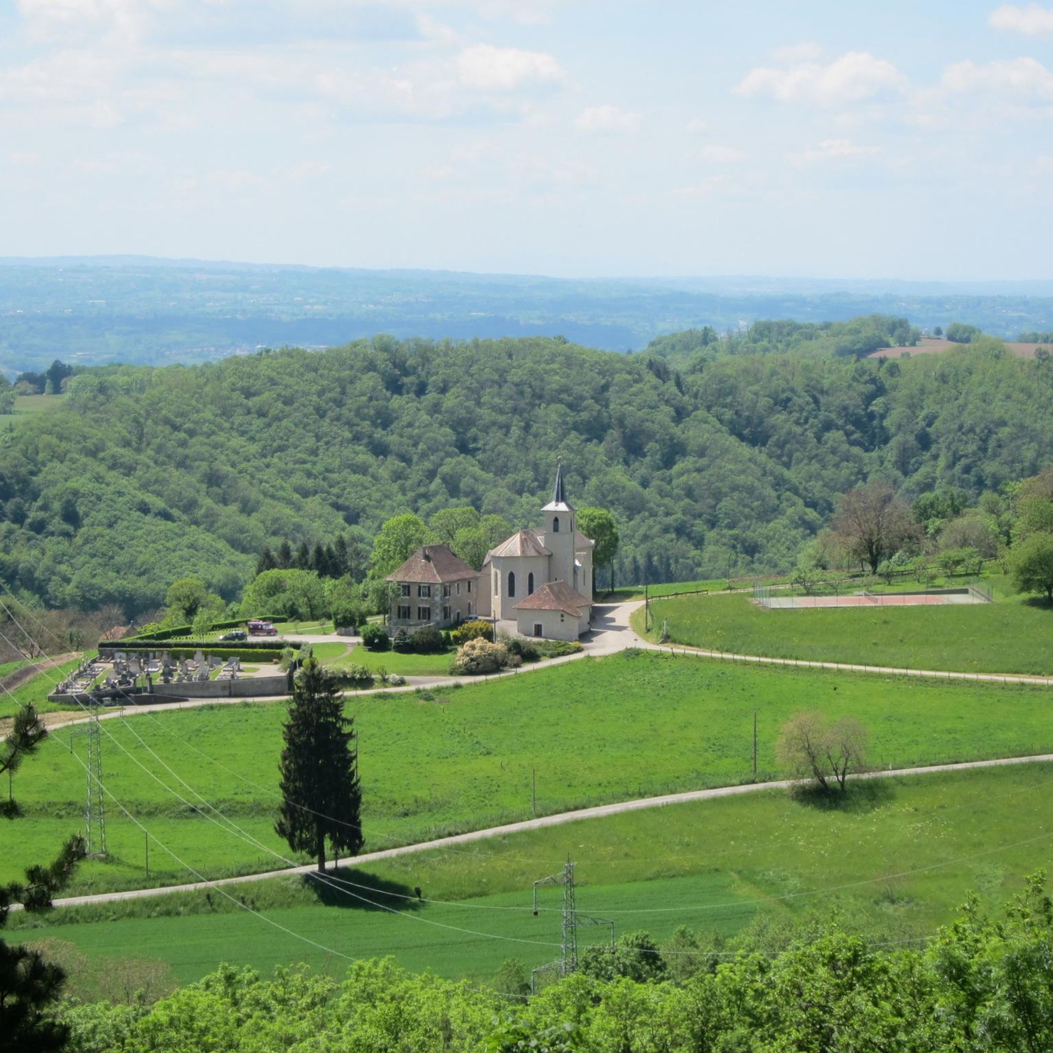
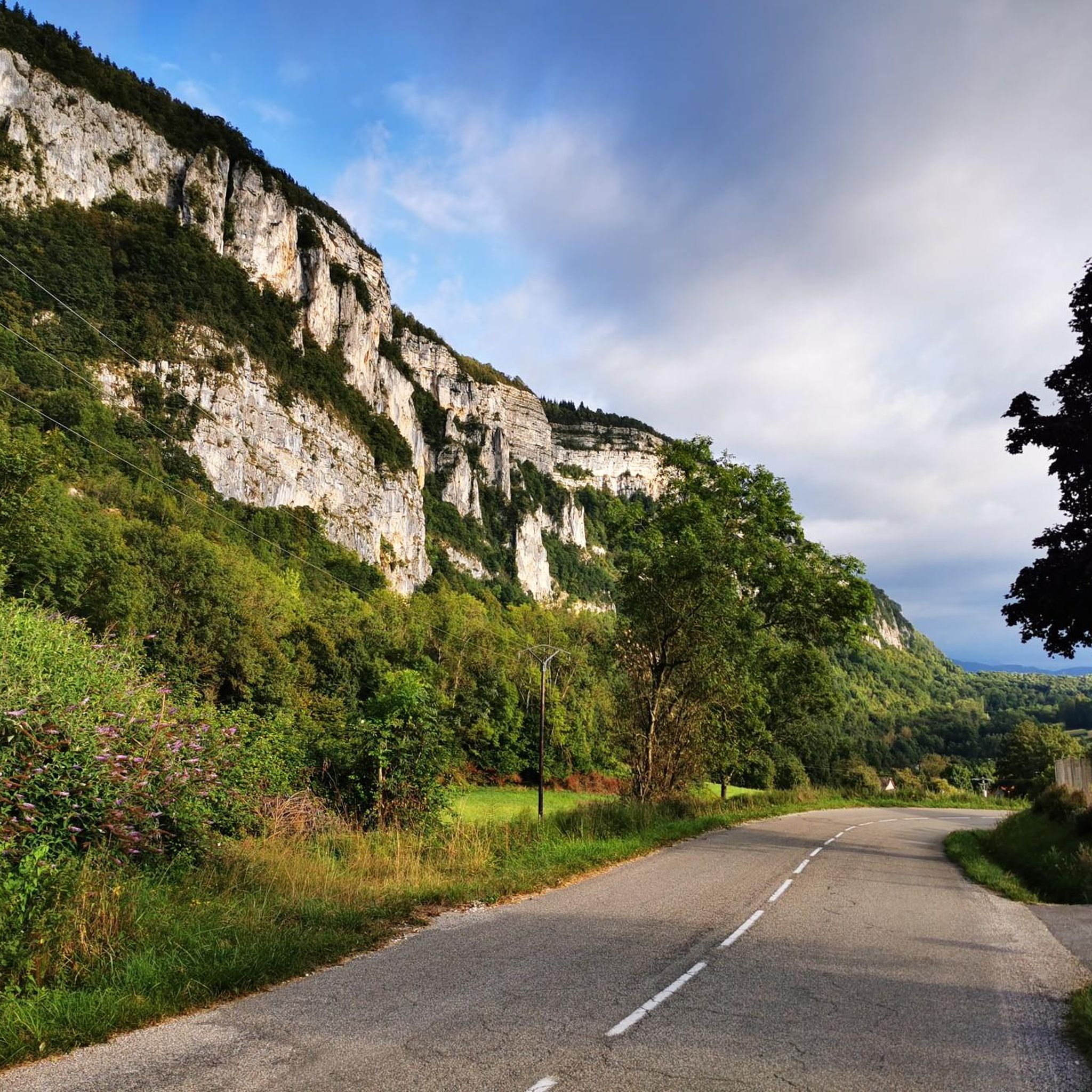
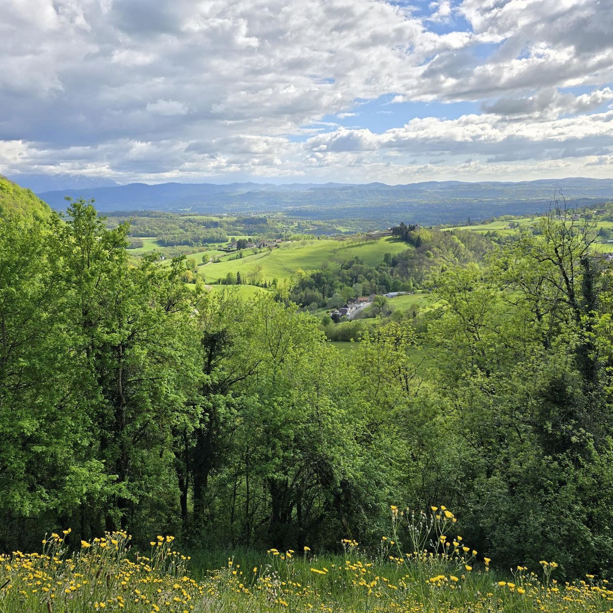
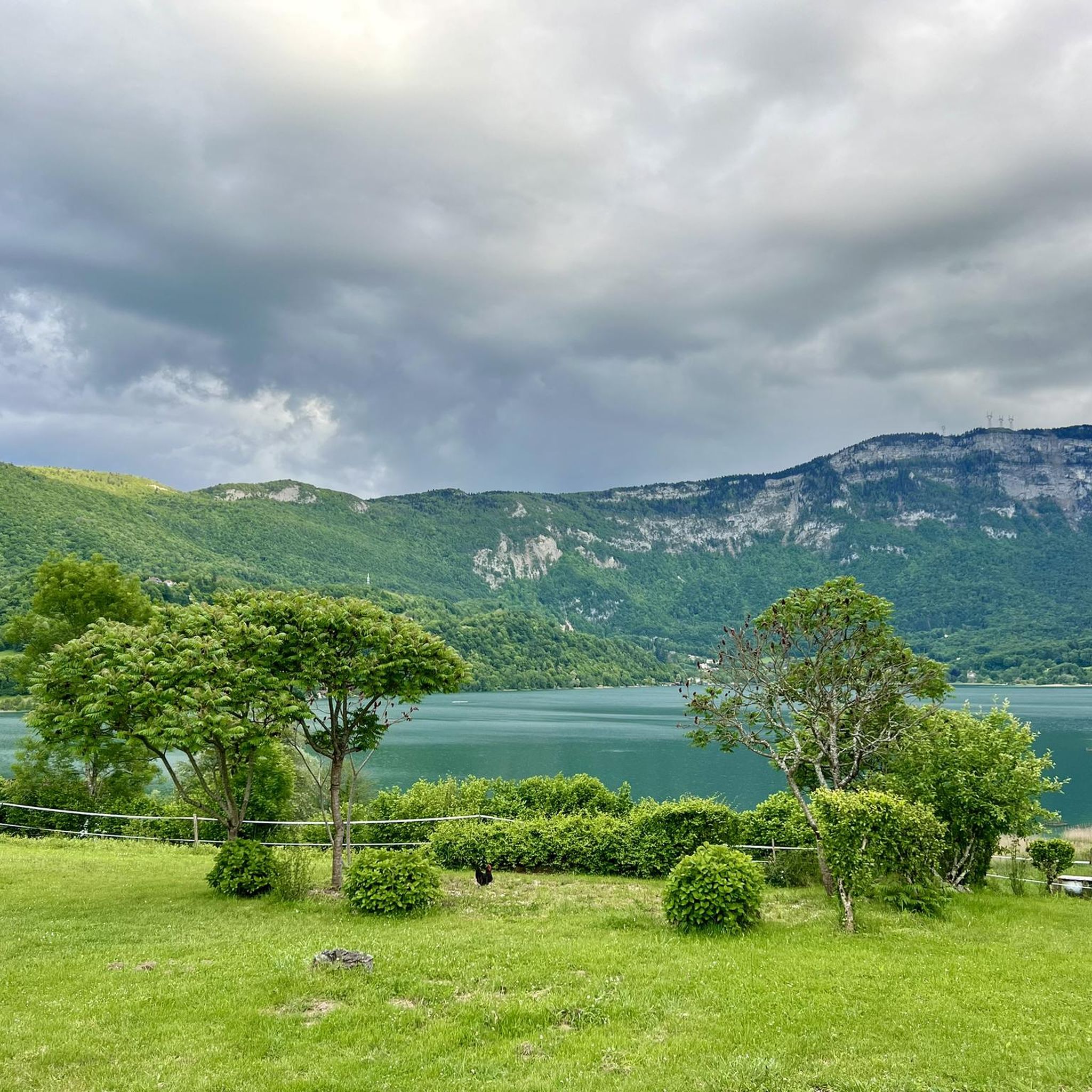
Gravel biking around Verel-De-Montbel features routes that navigate through a landscape characterized by significant elevation changes, including several passes and viewpoints. The region is situated near Lake Aiguebelette, offering varied terrain that combines forested sections with open views. Riders can expect a mix of climbs and descents across its diverse topography.
Best gravel bike trails around Verel-De-Montbel
- The most popular gravel bike trail is Crusille Pass (573 m) – View of Lake Aiguebelette loop from Sainte-Marie-d'Alvey, an 18.7 miles (30.1 km) trail that takes 2 hours 31 minutes to complete. This difficult route offers views of Lake Aiguebelette from Crusille Pass.
- Another top favourite among local gravel bikers is Cordon Bridge – Lac de Barterand loop from Aoste, an easy 11.0 miles (17.7 km) path. This route features gentle gradients along the lake and river areas.
- Local gravel bikers also love the Cascade – Cabin on a hill loop from Lépin-le-Lac, an 11.3 miles (18.2 km) trail leading through varied terrain with significant climbs, often completed in about 1 hour 41 minutes.
- Gravel biking around Verel-De-Montbel is defined by its passes, lake views, and forested sections. The network offers options for both easy rides and more challenging routes for experienced riders.
- The routes in Verel-De-Montbel are highly rated by the komoot community with an average score of 4.9 stars from over 7 reviews. More than 20 gravel bikers have used komoot to explore Verel-De-Montbel's varied terrain.
Last updated: November 2, 2026
4.8
(8)
23
riders
Hard gravel ride. Very good fitness required. Mostly paved surfaces.
4.3
(6)
16
riders
44.3km
02:33
150m
150m
Moderate gravel ride. Good fitness required. Mostly paved surfaces.

2
riders
18.2km
01:41
630m
630m
Hard gravel ride. Very good fitness required. Mostly paved surfaces.
5.0
(1)
5
riders
17.7km
01:08
70m
70m
Easy gravel ride. Mostly paved surfaces.
5.0
(1)
6
riders
24.4km
01:43
400m
400m
Moderate gravel ride. Good fitness required. Mostly paved surfaces.
Get access to more routes and recommendations from other explorers.
Already have an account?
Our route recommendations are based on thousands of hikes, rides, and runs completed by other people on komoot.
Start today with a free account
Your next adventure awaits.
Tips from the Community

The trail runs along the Guiers river to its confluence with the Rhône, on the edge of Savoie.
0
0
The trail runs along the Guiers river to its confluence with the Rhône, on the edge of Savoie.
0
0
For a long time, this bridge marked the political border between the Kingdom of France (Dauphiné side) and the States of Savoy. In 1822, a border stone (stone no. 5) had been set in its center to demarcate the two territories. This historic stone has since been moved to the Place des Tilleuls in the village, where it serves as a fountain.
0
0
The site is freely accessible on foot and offers four major marked routes to gently explore its riches.
0
0
The area is located on the border between the departments of Isère and Ain, right next to the Pont d’Évieu. A specific ViaRhôna link allows you to reach the center of the commune of Les Avenières directly from this point via small country roads.
0
0


A famous praline brioche 😃
0
0

Here is the route for the ascent of the Col de la Crusille starting from Novalaise
1
0
Frequently Asked Questions
How many gravel bike trails are available around Verel-De-Montbel?
There are over 15 gravel bike trails documented on komoot for the Verel-De-Montbel area. These routes offer a diverse range of experiences, from gentle lakeside rides to challenging mountain passes.
Are there any easy gravel bike trails suitable for beginners or families?
Yes, while many routes in the region are challenging, there is at least one easy gravel bike trail. We recommend the Cordon Bridge – Lac de Barterand loop from Saint-Genix-Sur-Guiers, which is an 11.0-mile (17.8 km) path featuring gentle gradients along the lake and river areas, perfect for a more relaxed ride.
What kind of terrain can I expect on gravel bike trails in Verel-De-Montbel?
The terrain around Verel-De-Montbel is characterized by significant elevation changes, including several passes and viewpoints. You'll find a varied landscape combining forested sections with open views, offering a mix of climbs and descents across its diverse topography. Expect a good challenge on most routes.
What are some of the notable viewpoints or scenic spots along the gravel routes?
Many routes offer stunning views, particularly of Lake Aiguebelette and the surrounding mountain passes. The Crusille Pass (573 m) – View of Lake Aiguebelette loop from Sainte-Marie-d'Alvey provides excellent vistas. You can also explore highlights like the Voues de l'Épine Viewpoint or the View of Lac d'Aiguebelette from Saint-Alban-de-Montbel Church for panoramic scenes.
Are there any long-distance gravel cycling routes for experienced riders?
Absolutely. For experienced riders seeking a longer challenge, the Lake Aiguebelette – Crusille Pass (573 m) loop from Verthemex is a substantial 46.4-mile (74.7 km) trail with significant climbs, typically taking over 6 hours to complete. This route offers varied terrain and a rewarding experience.
What do other gravel bikers say about the trails in Verel-De-Montbel?
The gravel biking routes in Verel-De-Montbel are highly rated by the komoot community, with an average score of 4.9 stars from over 10 reviews. Riders often praise the challenging climbs, rewarding views of Lake Aiguebelette, and the diverse natural landscapes.
Can I find circular gravel bike routes in the area?
Yes, many of the gravel bike trails around Verel-De-Montbel are designed as circular loops, allowing you to start and end at the same point. Examples include the Banchet Pass (590 m) – View from the Col du Banchet loop from Lépin-le-Lac and the Col de l'Épine viewpoint – Épine Pass loop from Réserve naturelle régionale du lac d'Aiguebelette.
What are some interesting natural attractions or landmarks to see while gravel biking?
The region is rich in natural beauty. You'll encounter several mountain passes like Épine Pass and Col du Banchet, offering challenging climbs and panoramic views. The stunning Lac d'Aiguebelette is a central feature, with many routes offering views or passing close to its shores.
Are there any specific passes I should aim to conquer on a gravel bike?
Verel-De-Montbel is known for its passes. Notable ones include Épine Pass, Col du Banchet, and Crucifix Pass. These passes often form the highlights of many challenging gravel routes, providing both a physical test and incredible scenery.
What is the general difficulty level of gravel biking in Verel-De-Montbel?
Gravel biking in Verel-De-Montbel is predominantly challenging. Out of 15 available routes, 14 are rated as difficult, featuring significant elevation gains and technical sections. There is one easy route available for those seeking a less strenuous experience.
Are there any routes that specifically highlight Lake Aiguebelette?
Many routes offer views of Lake Aiguebelette, which is a prominent feature of the region. The Crusille Pass (573 m) – View of Lake Aiguebelette loop from Sainte-Marie-d'Alvey is a great option for direct lake views, and the Lake Aiguebelette – Crusille Pass (573 m) loop from Verthemex also incorporates the lake into its longer journey.
Most popular routes around Verel-De-Montbel
Most popular attractions around Verel-De-Montbel

Get inspired with the komoot mobile app


Explore more
Browse the best Gravel rides in other regions.
