The best gravel rides around Cabrespine
4.5
(6)
148
riders
11
rides
Gravel biking around Cabrespine offers a diverse landscape characterized by its varied terrain. The region features a mix of historic pathways, such as sections of the Voie Verte Passa Païs, and more challenging climbs towards elevated points like Pic de Nore. Riders can expect routes that traverse through woodlands, open countryside, and areas with historical significance. The elevation changes provide a range of experiences for different skill levels.
Best gravel bike trails around Cabrespine
- The most popular gravel bike trail…
Last updated: October 5, 2026
3.0
(2)
64
riders
73.0km
05:35
1,670m
1,670m
Hard gravel ride. Very good fitness required. Mostly paved surfaces. Suitable for all skill levels.
5.0
(2)
53
riders
Hard gravel ride. Very good fitness required. Mostly paved surfaces. Suitable for all skill levels.

6
riders
71.4km
05:23
1,810m
1,810m
Hard gravel ride. Very good fitness required. Mostly paved surfaces. Suitable for all skill levels.
7
riders
64.0km
04:34
1,190m
1,190m
Hard gravel ride. Very good fitness required. Mostly paved surfaces. Suitable for all skill levels.
1
riders
50.1km
03:06
310m
310m
Moderate gravel ride. Good fitness required. Mostly paved surfaces. Suitable for all skill levels.
Get access to more routes and recommendations from other explorers.
Already have an account?
Our route recommendations are based on thousands of hikes, rides, and runs completed by other people on komoot.
Start today with a free account
Your next adventure awaits.
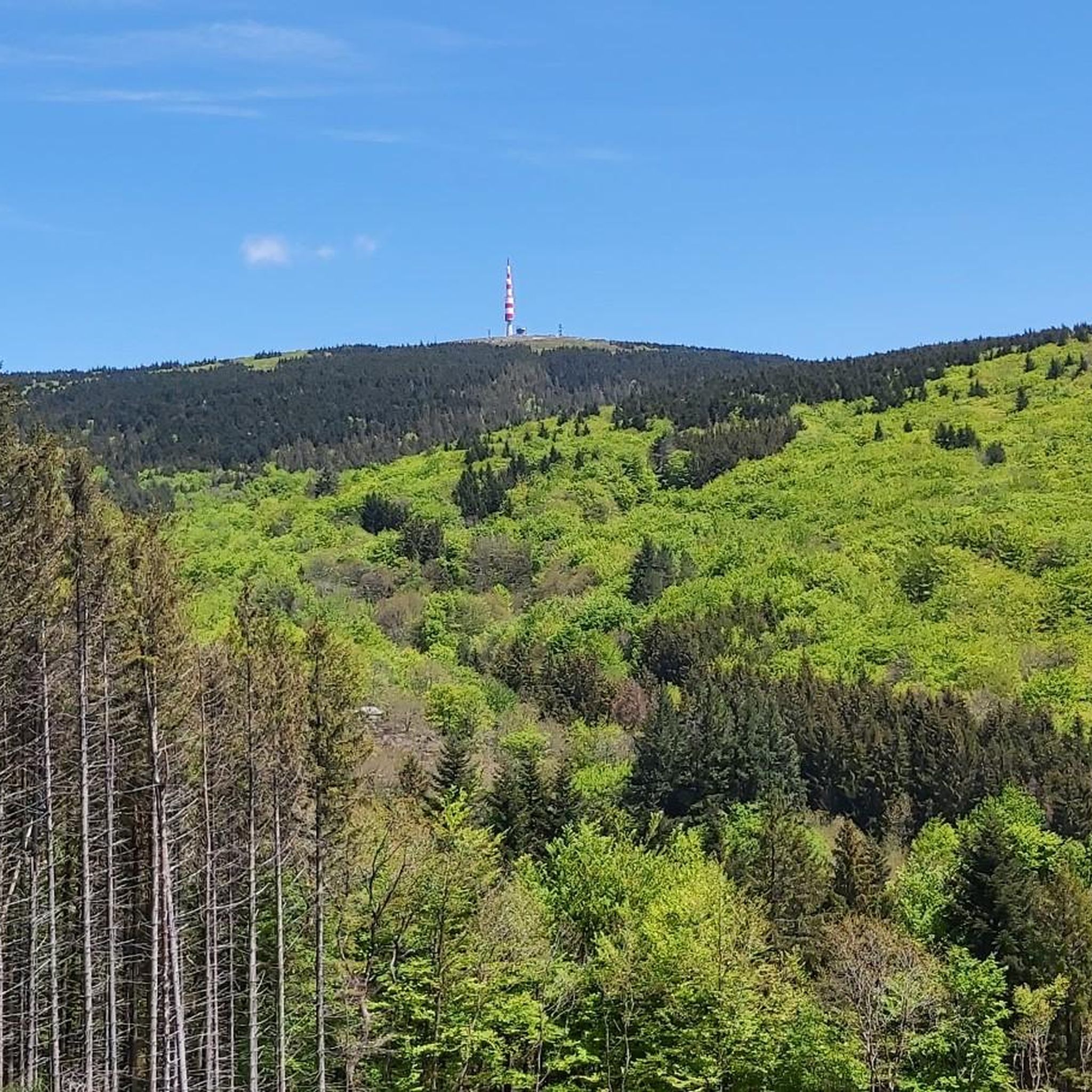
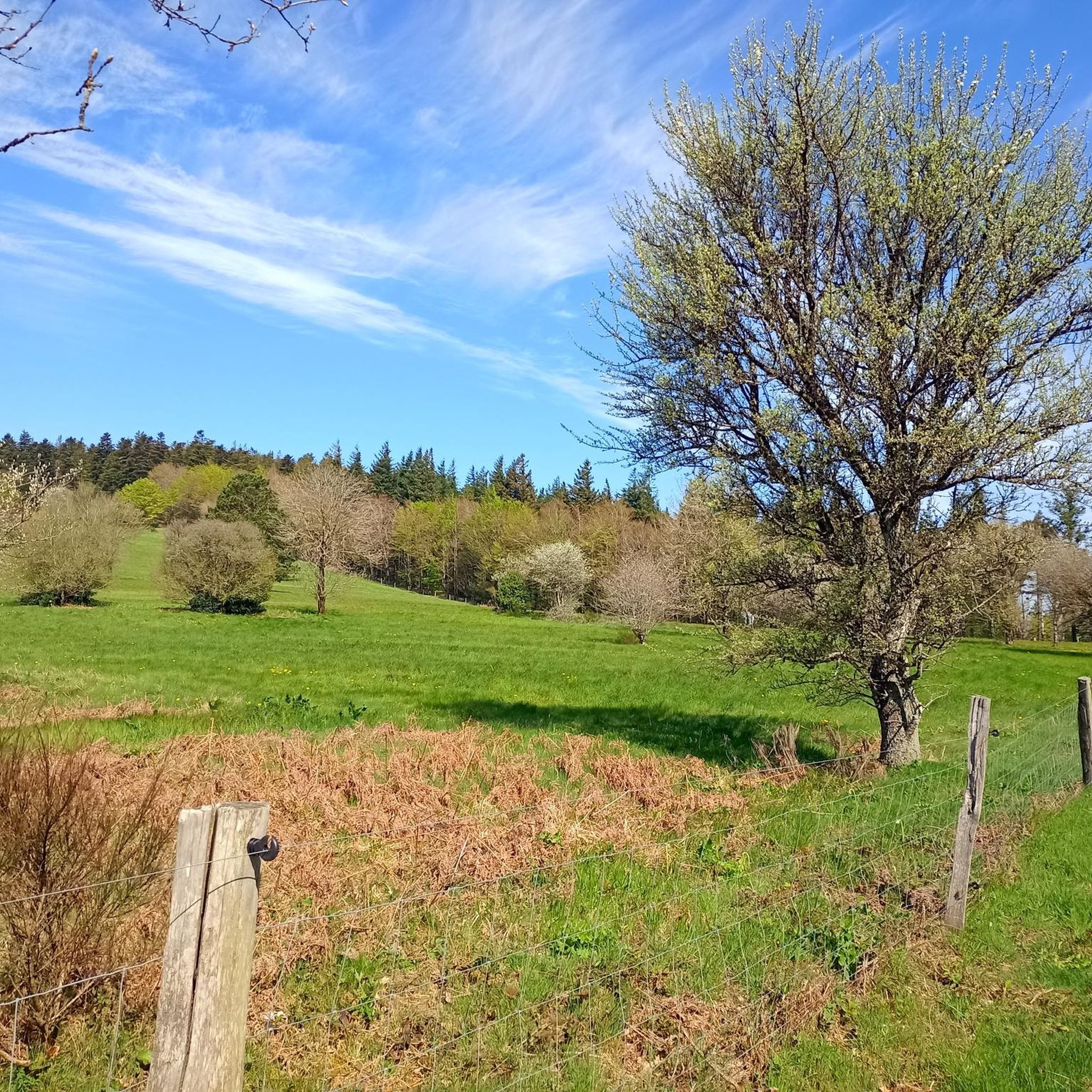
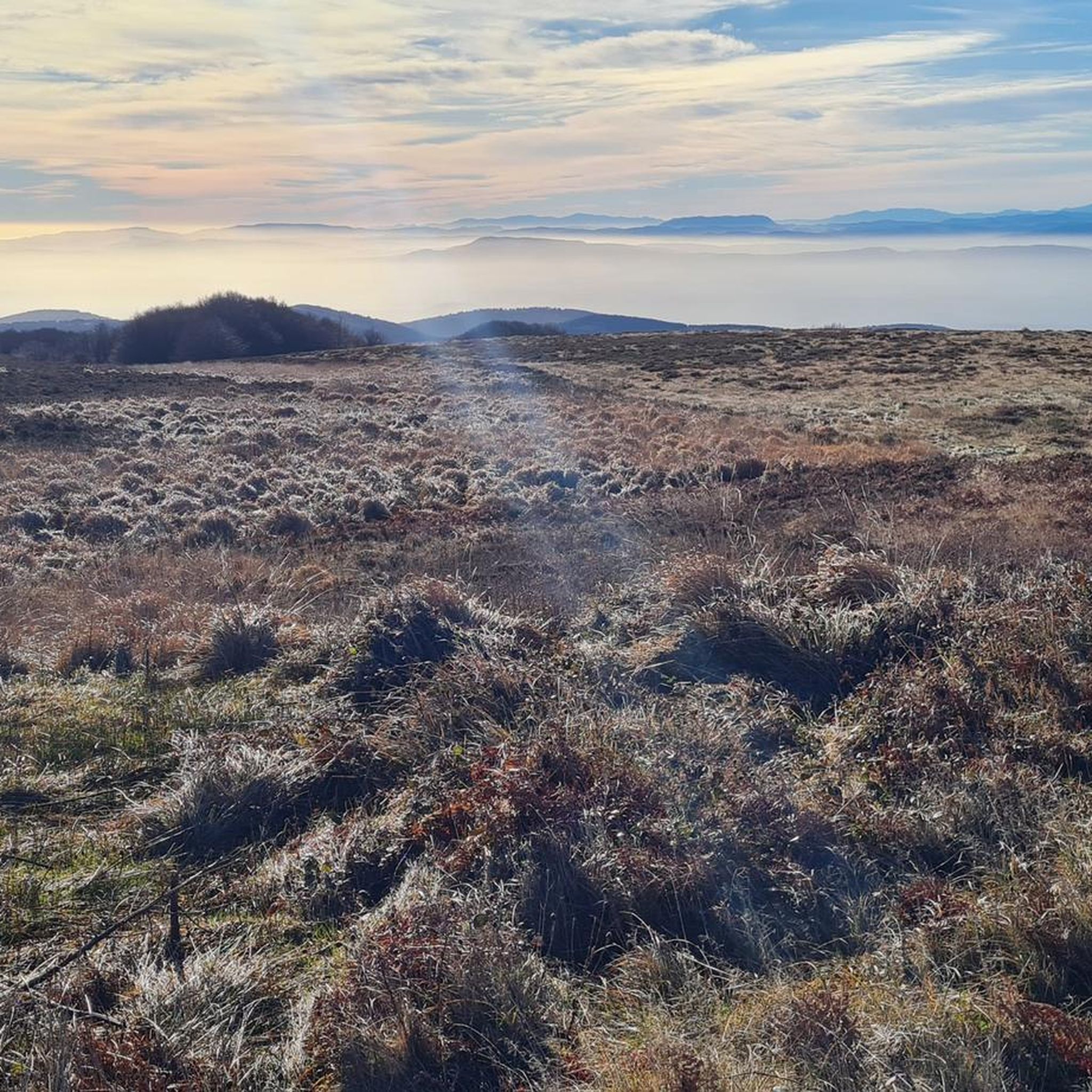
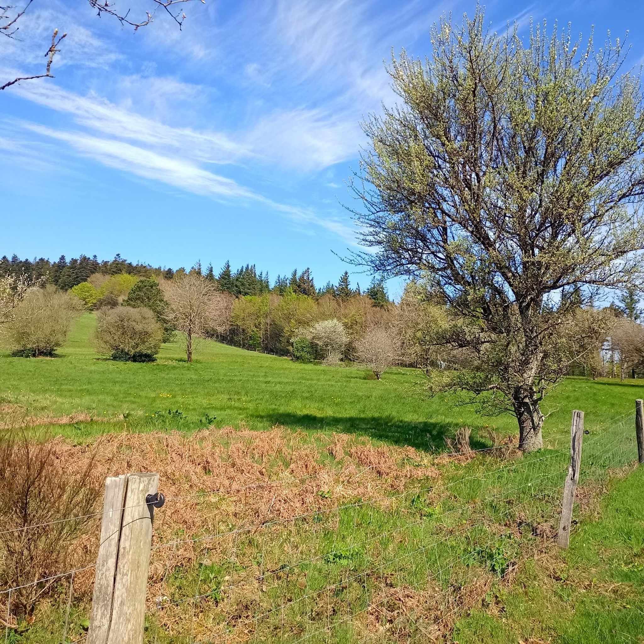
Tips from the Community

The Trèbes locks are a flight of locks composed of three basins. Built around 1674, it is located downstream from the port of Trèbes at the exit of the town in the direction of the village of Marseillette. Taking advantage of the significant drop in the flight of locks, intense milling activity was established on the left bank of the lock. A first upper mill was built at the end of the 17th century. It is crossed by a diversion of the Canal du Midi which ensures its operation; it is described as having four millstones with a stable and a shed. A transformation of this first mill was carried out in 1867 to make it a mill with 6 millstones. This new building, later enlarged in the 1930s, consists of a basement and 4 floors at its highest point. It has today been converted into a restaurant.
0
0
The Trèbes locks are a flight of locks composed of three basins. Built around 1674, it is located downstream from the port of Trèbes at the exit of the town in the direction of the village of Marseillette. Taking advantage of the strong difference in level of the flight, an intense milling activity was established on the left bank of the lock. A first upper mill was built at the end of the 17th century. It is crossed by a diversion of the Canal du Midi which ensures its operation; it is described as having four millstones with a stable and a shed. A transformation of this first mill was carried out in 1867 to make it a flour mill comprising 6 millstones. This new building, later enlarged in the 1930s, consists of a base and 4 floors at its highest point. Today it has been converted into a restaurant.
0
0
The pond covers an area of 2000 ha, and is shared between the municipalities of Marseillette, Aigues-Vives, Saint-Frichoux and Puichéric. In the past, it supplied the region with fish. From the 12th century onwards, people began to talk about draining this stagnant body of water, a source of death and misery for Marseillette and the surrounding villages, which were becoming depopulated. In 1605, Henry IV issued a royal decree to drain the Pond. But it wasn't until 1804 and the purchase of the Pond by an Irishwoman, Madame de Lawless, that it was drained, thanks to a vast construction project. The pond was then cultivated and developed to use the waters of the Aude, with an original irrigation system consisting of perpendicular canals allowing the flooding of the land. Today, vines, apples, and rice are the main products found there. Its quiet and flat paths are very pleasant for hiking or cycling, in a typical landscape.
0
0
Le Canal du Midi, formerly Canal Royal, is a 17th-century technical feat designed by Pierre-Paul Riquet to connect the Atlantic to the Mediterranean. Today, it is above all a place for relaxation and discovery, where heritage, nature, and conviviality blend.
0
0
The Canal du Midi, formerly the Royal Canal, is a 17th-century technical feat designed by Pierre-Paul Riquet to connect the Atlantic to the Mediterranean. Today, it is above all a place for relaxation and discovery, where heritage, nature, and conviviality blend together.
0
0
The Canal du Midi, formerly Canal Royal, is a 17th-century technical feat designed by Pierre-Paul Riquet to connect the Atlantic to the Mediterranean. Today, it is above all a place for relaxation and discovery, where heritage, nature, and conviviality blend together.
0
0
The l'Aiguille lock is a double lock on the Canal du Midi located in the commune of Puichéric.
0
0

Clinging to a rocky outcrop almost encircled by the Jaur, Olargues is a remarkable fortified village whose medieval organization is still perfectly legible. At the summit, the former keep of the castle, transformed into a bell tower in the 17th century after the fortress was destroyed on Cardinal Richelieu's orders, still dominates the valley. Below, the Devil's Bridge, built in the 12th century, has spanned the Jaur for nearly nine centuries. Between the two, "calades" (cobbled alleyways) and old houses invite you to step back in time. It is easy to understand why Olargues is among the Most Beautiful Villages in France!
2
0
Frequently Asked Questions
How many gravel bike trails are available around Cabrespine?
Cabrespine offers a selection of over a dozen gravel bike routes, catering to various skill levels. You'll find a mix of moderate and difficult trails to explore the region's diverse landscapes.
Are there any easy gravel biking routes for beginners in Cabrespine?
While many routes around Cabrespine are rated as difficult, there are moderate options available. For instance, the Voie Verte Passa Païs – Labastide Tunnel loop from Saint-Amans-Soult is a moderate 32.8 km ride that takes about 2 hours 11 minutes, offering a good introduction to the area's gravel paths.
What are some challenging gravel bike trails for experienced riders?
Experienced gravel bikers will find several demanding routes. The Pic de Nore – Pic de Nore Summit loop from Lastours is a difficult 71.6 km trail with significant elevation gain, typically taking over 7 hours to complete. Another challenging option is the Visigoth Cemetery – Villeneuve-Minervois loop from Le Tinal d'Abrens, a 64.1 km difficult route.
What kind of terrain can I expect on gravel bike routes in Cabrespine?
The gravel routes around Cabrespine feature a diverse landscape, including historic pathways like sections of the Voie Verte Passa Païs, woodlands, and open countryside. You'll also encounter mountainous terrain, especially on trails leading towards elevated points like Pic de Nore.
Are there any circular gravel bike routes in the Cabrespine area?
Yes, many of the gravel bike trails in Cabrespine are designed as loops. Examples include the popular View of Olargues Village – Voie Verte Passa Païs loop from Saint-Amans-Soult, which is 84.8 km, and the Voie Verte Passa Païs – Labastide Tunnel loop from Sauveterre, a 72.2 km route.
What are some interesting landmarks or attractions to see along the gravel bike trails?
The region is rich in history and natural beauty. Along the trails, you might encounter highlights such as the Pic de Nore summit, the impressive Cubserviès Waterfall, or historical sites like the Roquefère Castle and ancient Roman roads. The Passa Païs greenway itself is a beautiful section to explore.
What do other gravel bikers enjoy most about riding in Cabrespine?
The gravel biking experience in Cabrespine is highly rated by the komoot community, with an average score of 4.6 stars. Riders often appreciate the varied terrain, the mix of historical pathways, and the opportunity to explore both woodlands and open countryside.
Is Cabrespine suitable for family-friendly gravel biking?
While many routes are rated difficult, the presence of sections of the Voie Verte Passa Païs greenway suggests flatter, more accessible paths that could be suitable for families. Look for routes or sections specifically mentioning the greenway for a potentially easier ride, such as the moderate Voie Verte Passa Païs – Labastide Tunnel loop from Saint-Amans-Soult.
What is the best time of year for gravel biking in Cabrespine?
The region generally offers pleasant conditions for gravel biking from spring through autumn. Spring brings blooming landscapes, while autumn provides cooler temperatures and vibrant foliage. Summer can be warm, so early morning or late afternoon rides are often preferred during peak season.
Are there any cafes or places to stop for refreshments along the gravel routes?
While specific cafes directly on every trail are not guaranteed, many routes pass through or near villages where you can find local establishments for refreshments. Planning your route with komoot allows you to identify towns and potential stops along the way.
Where can I find parking for gravel bike trails in Cabrespine?
Starting points for many routes are often located in or near villages such as Saint-Amans-Soult, Sauveterre, Lastours, or Le Tinal d'Abrens. These locations typically offer public parking facilities, but it's always advisable to check local signage upon arrival.
Most popular routes around Cabrespine
Most popular attractions around Cabrespine

Get inspired with the komoot mobile app


Explore more
Browse the best Gravel rides in other regions.
