The best gravel rides around Nant
4.7
(28)
367
riders
16
rides
Gravel biking around Nant offers diverse landscapes for off-road exploration, characterized by a mix of rolling hills, open plateaus, and forested areas. The region features varied terrain, including agricultural lands and quiet country roads connecting small villages. Elevation changes provide both challenging climbs and rewarding descents, suitable for different skill levels. The landscape is defined by vast moorlands, dense conifer and ancient oak woodlands, and remote, steep-sided valleys.
Best gravel bike trails around Nant
- The most popular gravel bike trail…
Last updated: October 5, 2026
5.0
(3)
244
riders
99.9km
06:58
1,540m
1,540m
Hard gravel ride. Very good fitness required. Mostly paved surfaces. Suitable for all skill levels.
4.3
(10)
43
riders
33.5km
02:08
290m
290m
Moderate gravel ride. Good fitness required. Mostly paved surfaces. Suitable for all skill levels.

5.0
(2)
9
riders
20.9km
01:28
190m
190m
Moderate gravel ride. Good fitness required. Mostly paved surfaces. Suitable for all skill levels.
5.0
(2)
6
riders
Hard gravel ride. Good fitness required. You may need to push your bike for some segments of this route.
5.0
(1)
4
riders
31.1km
02:06
290m
290m
Moderate gravel ride. Good fitness required. Mostly paved surfaces. Suitable for all skill levels.
Get access to more routes and recommendations from other explorers.
Already have an account?
Our route recommendations are based on thousands of hikes, rides, and runs completed by other people on komoot.
Start today with a free account
Your next adventure awaits.



Tips from the Community

Located in the heart of the Larzac plateau, in the Aveyron, La Couvertoirade is a superb fortified medieval city, ranked among the Most Beautiful Villages of France. Formerly owned by the Templars, then by the Hospitallers, it captivates with its 15th-century ramparts, its cobbled streets, its stone houses, and its Templar castle. Don't miss the church, the communal oven, and the lavogne, a traditional basin for collecting rainwater.
0
0
In the heart of Creissels, the Pesquié basin forms a surprisingly vast body of water (1,000 m²) compared to the modest stream that feeds it. Its name, which comes from Occitan and means "fish pond", recalls the ancient purpose of the place, linked to fish farming. The town hall now occupies the premises of a former fish farm. The basin is fed by the Creissels waterfall, a typical resurgence of the karst functioning of the Larzac: the water infiltrated into the limestones of the plateau reappears after an underground journey. In September 2023, the municipality dredged the basin and created a spawning ground for brown trout (Salmo trutta). The restoration has borne fruit, as trout have since recolonized the body of water, alongside amphibians and other aquatic organisms that find refuge in the surrounding wetland.
2
0
From the Larzac plateau, the Brunas site offers a vast panorama of the Millau valley. Stretched between the two banks of the Tarn, the viaduct with its seven concrete piers appears in its entirety. Behind it unfolds the entire causse Rouge, a large limestone plateau whose undulations dominate the valley. Then, the Puech d’Andan is distinguished by its wooded silhouette, cut in two by a clear central notch. Further to the right stands the Pouncho d'Agast, a pyramidal promontory marking the beginning of the causse Noir at an altitude of 841 m. Brunas is also a true site for free flight. The take-off area is located directly on the plateau; the site is mainly used with a north wind and allows paragliders to take off and then land in the vicinity of the same sector, with approximately 370 m of elevation difference down to the valley. The spectacle of the sails evolving in front of the viaduct adds a particular dimension to this panorama.
2
0
Perché at an altitude of approximately 730 meters, the Cap de Coste viewpoint overlooks the eastern end of the Boundoulaou cirque. It reveals a vast panorama of the Millau basin and its surrounding massifs. To the left, the easily recognizable Millau Viaduct spans the Tarn valley, connecting the Larzac to the Causse Rouge. Further to the right stretches the latter: a large limestone plateau whose undulations dominate the valley. Then, the Puech d’Andan stands out with its wooded silhouette, cut in two by a clear central notch. Finally, further away, the Pouncho d’Agast, an emblematic relief of the Causse Noir, is easily recognized by its profile like a true limestone pyramid.
2
0
Entering La Couvertoirade, I discovered an incredibly well-preserved medieval village. The ramparts, narrow streets, and serene atmosphere make it a place where you naturally take the time to stroll.
2
0

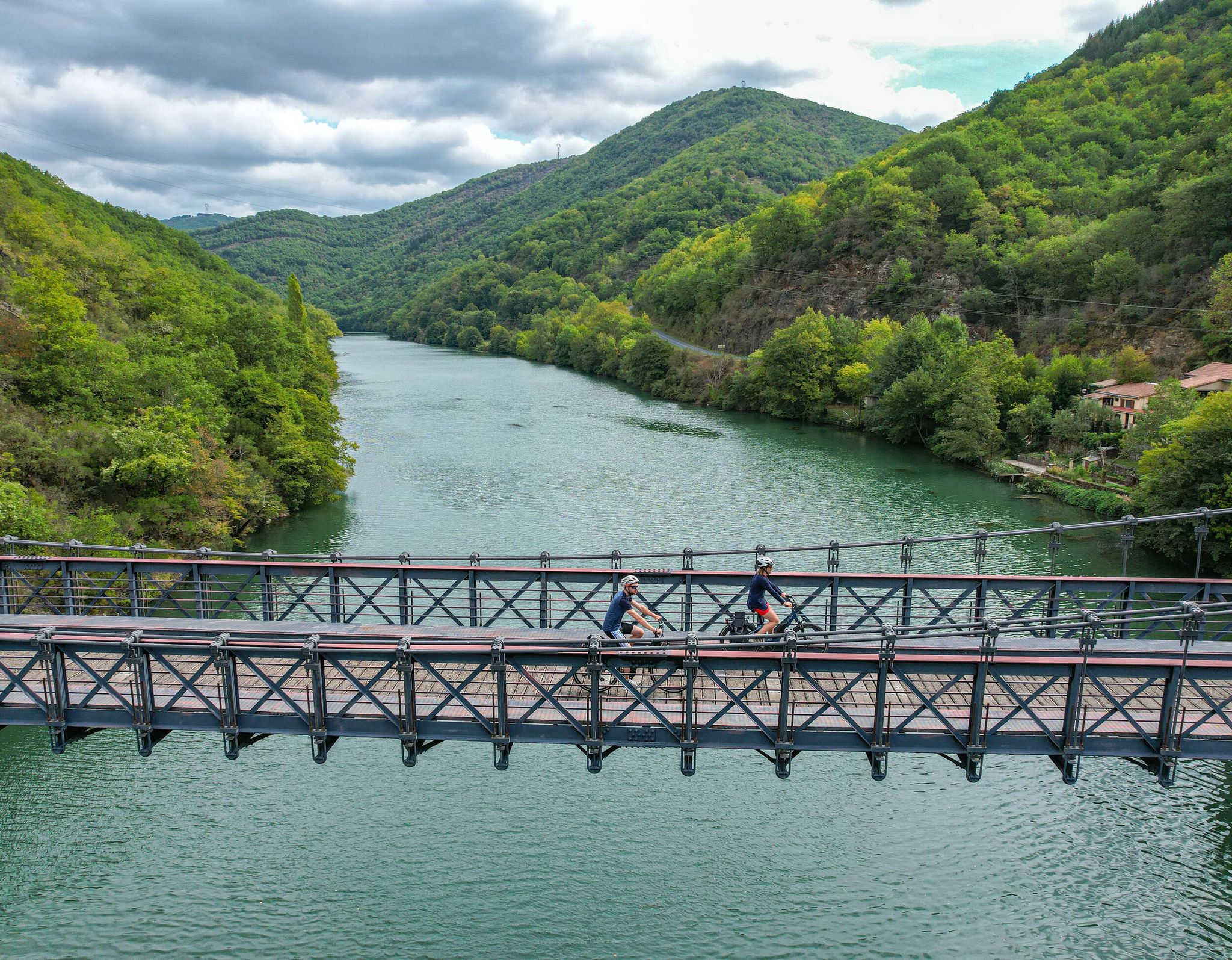
The Trans-Cévennes railway project never saw the light of day in its entirety. So much so that today the project has been converted into a greenway allowing cyclists to connect Tournemire to Le Vigan. Gravel lovers will particularly enjoy this beautiful gravel route where nature has also reclaimed its rights.
0
0

History and nature an ideal mix
0
0
Frequently Asked Questions
How many gravel bike trails are available in Nant?
Nant offers a good selection of gravel biking routes, with over 19 trails available for exploration. These routes cater to various skill levels, from moderate to difficult.
What makes gravel biking in Nant unique?
Gravel biking in Nant, and more broadly in Wales, is characterized by its incredibly varied terrain. You'll find a mix of ancient Roman roads, remote drover's tracks, forest fire roads, and purpose-built cycle trails. Unlike some other regions, many Welsh gravel roads are rocky rather than muddy, making them suitable for year-round riding. The region features rolling hills, open plateaus, and forested areas, often with significant elevation changes that provide both challenging climbs and rewarding descents.
What are the difficulty levels of gravel trails in Nant?
The gravel trails in Nant primarily offer moderate and difficult options. There are 5 moderate routes and 14 difficult routes, ensuring a good challenge for experienced riders while still providing accessible options for those looking for a less strenuous ride.
What do other gravel bikers think about the trails in Nant?
The gravel biking routes in Nant are highly regarded by the komoot community, boasting an impressive average rating of 4.8 stars from over 20 reviews. Riders often praise the diverse landscapes, the mix of challenging climbs and rewarding descents, and the opportunity to explore historic sites and natural beauty.
Are there any challenging gravel trails for experienced riders in Nant?
Absolutely. Nant is well-suited for experienced gravel bikers looking for a challenge. Many routes feature significant elevation changes and technical sections. For instance, the Brunas Viewpoint – Millau Viaduct loop from La Cavalerie is a difficult 62.7-mile trail with extensive views and varied surfaces, taking over 8 hours to complete. Another demanding option is the Mount Aigoual – Mont Aigoual loop from Aiguebonne, which covers 63.8 miles with substantial elevation gain.
Can I find long-distance gravel routes in Nant?
Yes, Nant offers several long-distance gravel routes for those seeking extended adventures. The Brunas Viewpoint – Millau Viaduct loop from La Cavalerie is a notable example, stretching over 62 miles (100.9 km). Another option is the Mount Aigoual – Mont Aigoual loop from Aiguebonne, which is nearly 64 miles long.
Are there circular gravel routes available in Nant?
Many of the gravel routes in Nant are designed as loops, allowing you to start and finish at the same point. Examples include the La Couvertoirade loop from Larzac, a moderate 19.6-mile path exploring the historic Larzac plateau, and the Tour du Viala-du-Pas-de-Jaux – Sainte-Eulalie-de-Cernon loop from L'Hospitalet-du-Larzac, a 37.5-mile trail through rural landscapes.
What natural attractions or landmarks can I see along the gravel trails in Nant?
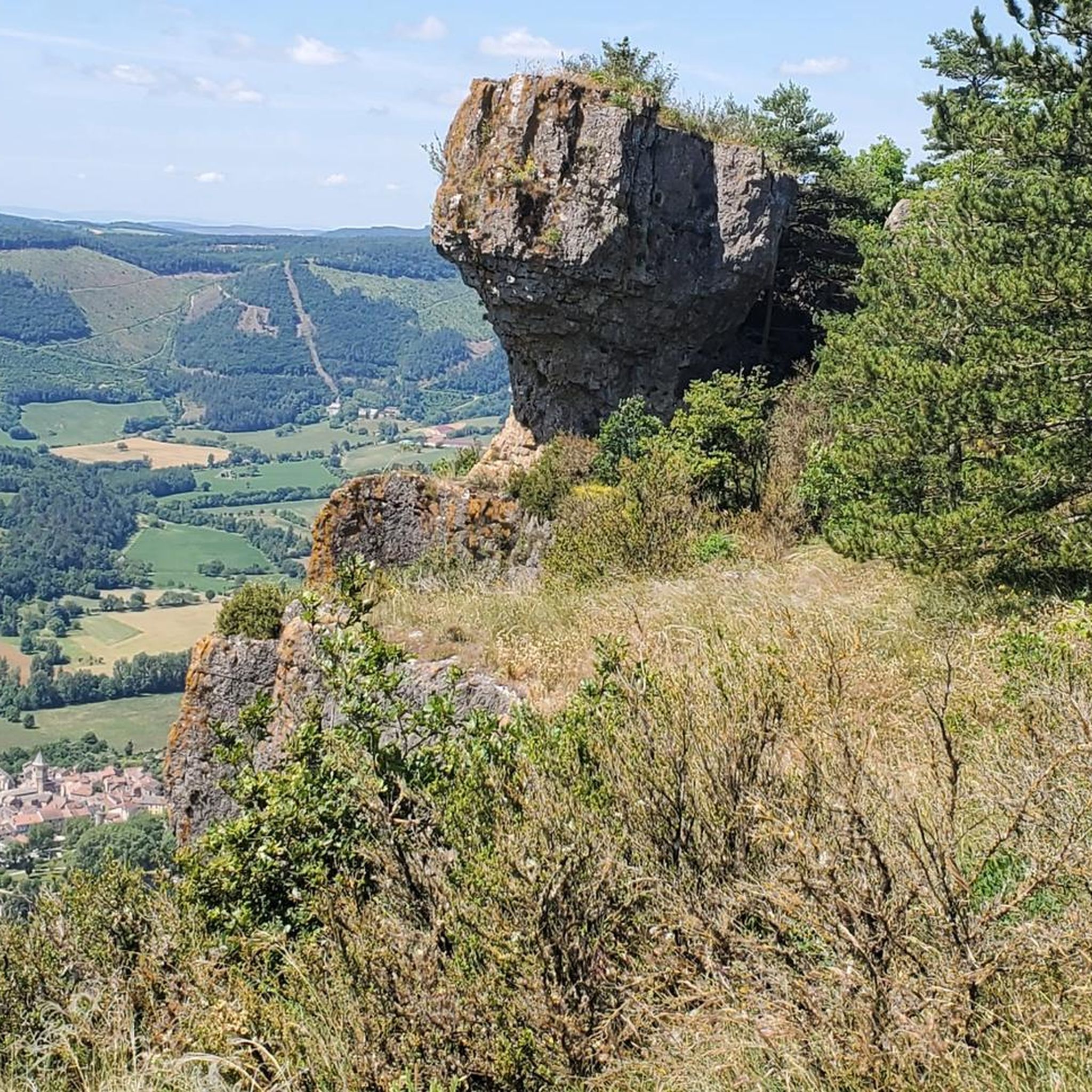
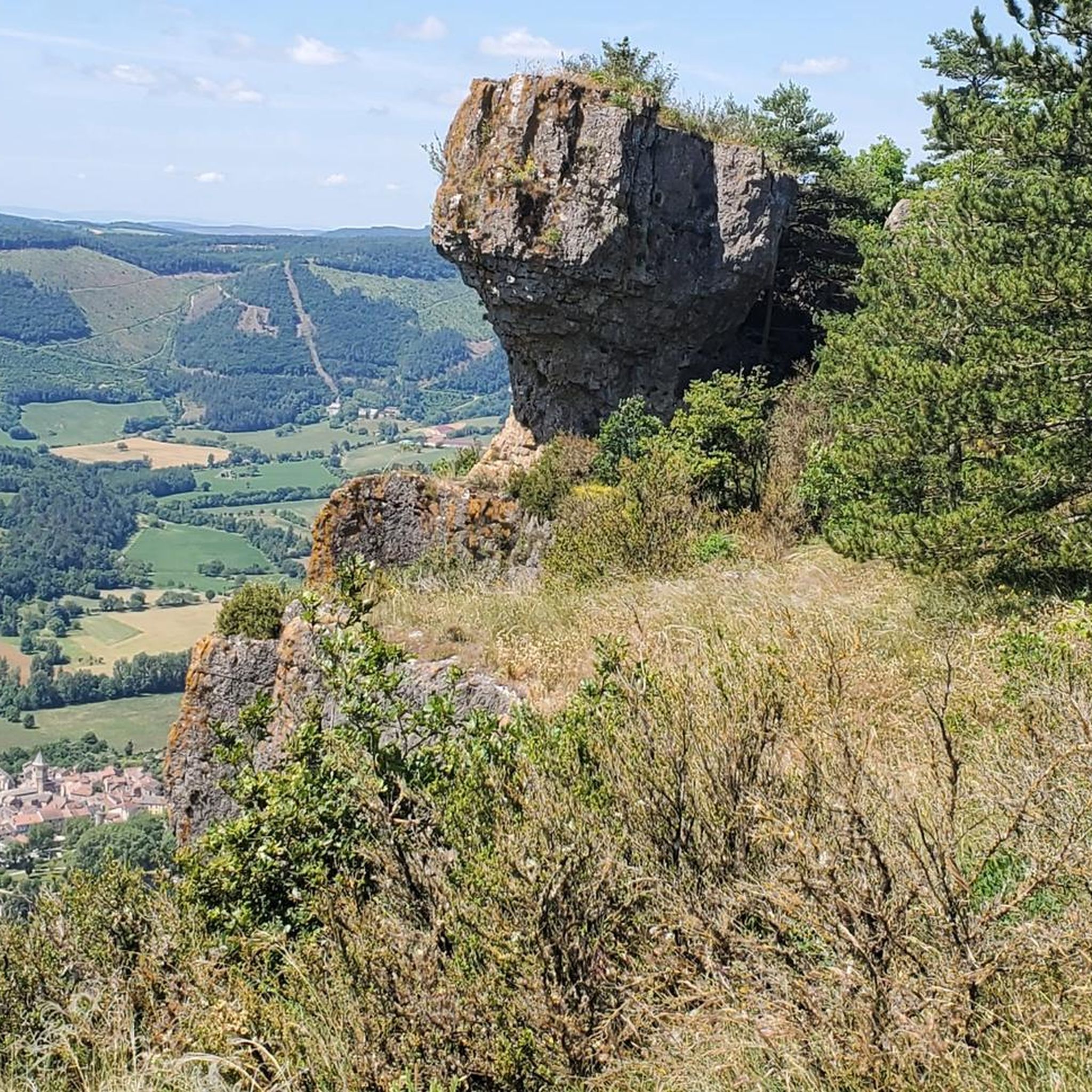
The Nant region is rich in natural beauty and historical sites. Along your gravel rides, you might encounter impressive natural monuments like Le Roc Nantais or Roc Castel. The area also features fascinating geological formations such as the Belvedere Montpellier le vieux gorge and numerous caves, including Abri des Usclades and Baume du Boffi, offering unique points of interest during your ride.
What is the best time of year for gravel biking in Nant?
Wales, including the Nant region, offers gravel biking opportunities year-round due to its often rocky rather than muddy terrain. However, for the most pleasant conditions, late spring to early autumn (May to October) generally provides milder weather and longer daylight hours. Winter riding is possible, but be prepared for cooler temperatures and potentially more challenging conditions on higher elevation routes.
Are there places to eat or drink along the gravel routes in Nant?
While specific cafes and pubs directly on every trail are not guaranteed, many routes in Nant traverse agricultural lands and quiet country roads, connecting small villages. These villages often provide opportunities to find local establishments for refreshments. Planning your route with potential stops in mind is recommended.
Is it possible to spot wildlife while gravel biking in Nant?
Yes, the diverse landscapes of Nant, with its forested areas, open plateaus, and rural settings, provide excellent opportunities for wildlife spotting. Keep an eye out for local bird species, small mammals, and other native fauna, especially during quieter times of the day or in less frequented areas. The natural beauty of the region, including areas like Gwydyr Forest Park in Snowdonia or Hafren Forest in the Cambrian Mountains (broader Welsh context), are known for their rich habitats.
Most popular attractions around Nant

Get inspired with the komoot mobile app


Explore more
Browse the best Gravel rides in other regions.
