The best gravel rides around Sermamagny
4.6
(21)
161
riders
50
rides
Gravel biking around Sermamagny offers a diverse landscape characterized by rolling hills, forested areas, and the proximity to significant mountain passes. The region features a mix of paved and unpaved paths, including sections near lakes and historical fortifications. Elevations vary, with some routes ascending into higher terrain, providing varied gradients for gravel cyclists.
Best gravel bike trails around Sermamagny
- The most popular gravel bike trail is Ballon d'Alsace – Col du Ballon d'Alsace loop from Giromagny, a 34.8 miles…
Last updated: July 30, 2026
4.0
(2)
23
riders
55.9km
04:06
1,390m
1,390m
Hard gravel ride. Very good fitness required. You may need to push your bike for some segments of this route.
5.0
(4)
28
riders
100km
06:09
840m
840m
Hard gravel ride. Very good fitness required. Mostly paved surfaces. Suitable for all skill levels.

Sign up for free
5.0
(3)
13
riders
34.1km
02:08
250m
250m
Hard gravel ride. Good fitness required. You may need to push your bike for some segments of this route.
4.0
(1)
17
riders
64.2km
03:58
600m
600m
Hard gravel ride. Very good fitness required. Mostly paved surfaces. Suitable for all skill levels.
4.5
(2)
11
riders
36.9km
02:14
220m
220m
Hard gravel ride. Good fitness required. You may need to push your bike for some segments of this route.
Get access to more routes and recommendations from other explorers.
Sign up for free
Already have an account?
Our route recommendations are based on thousands of hikes, rides, and runs completed by other people on komoot.
Start today with a free account
Your next adventure awaits.
Login or Signup
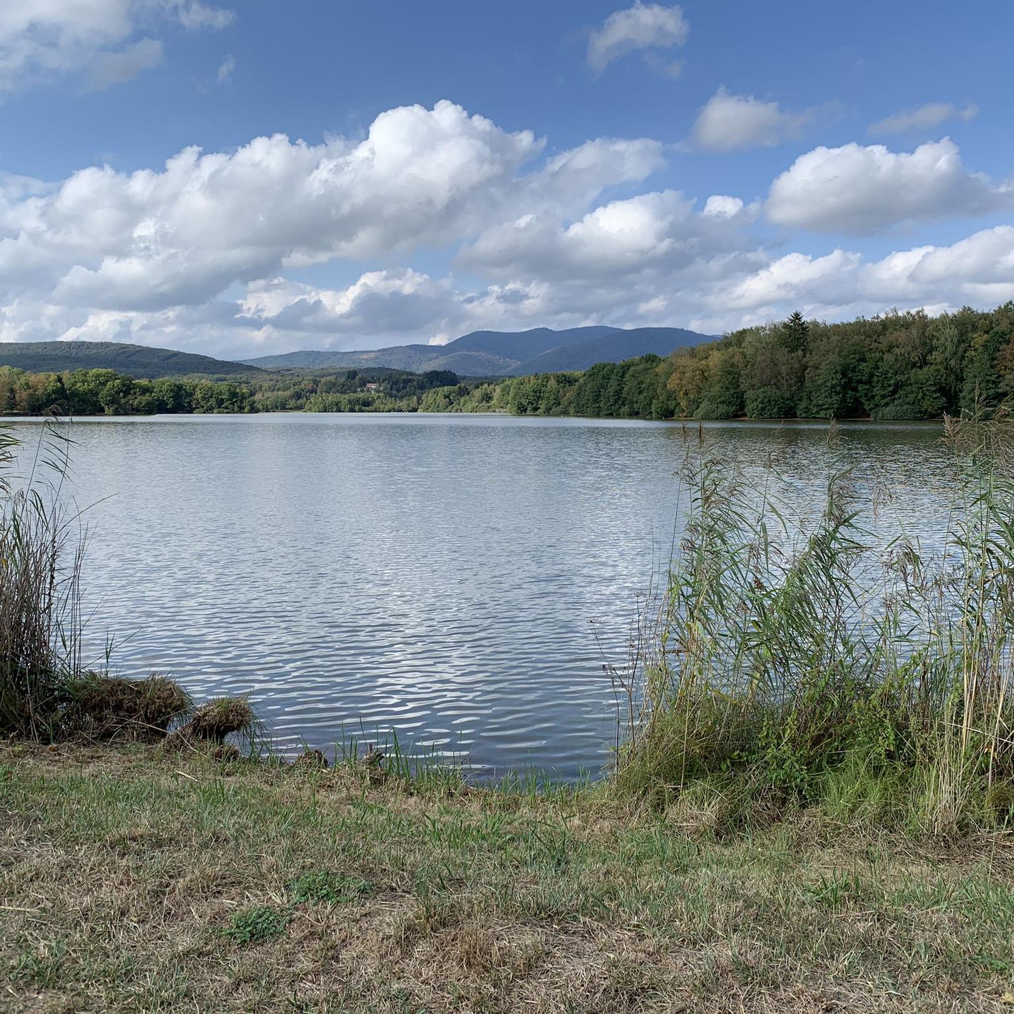
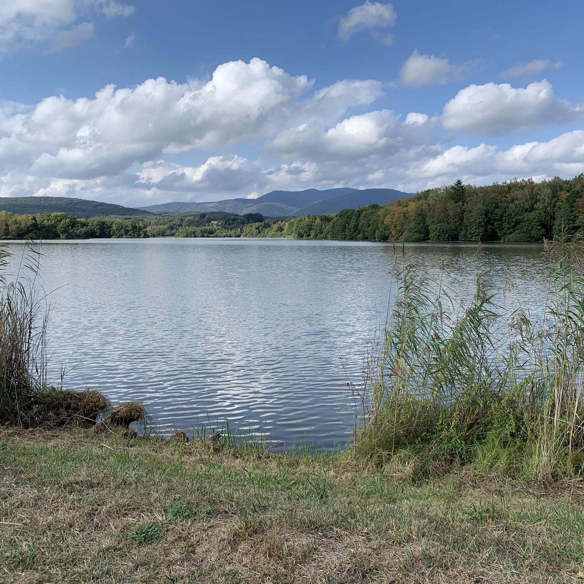
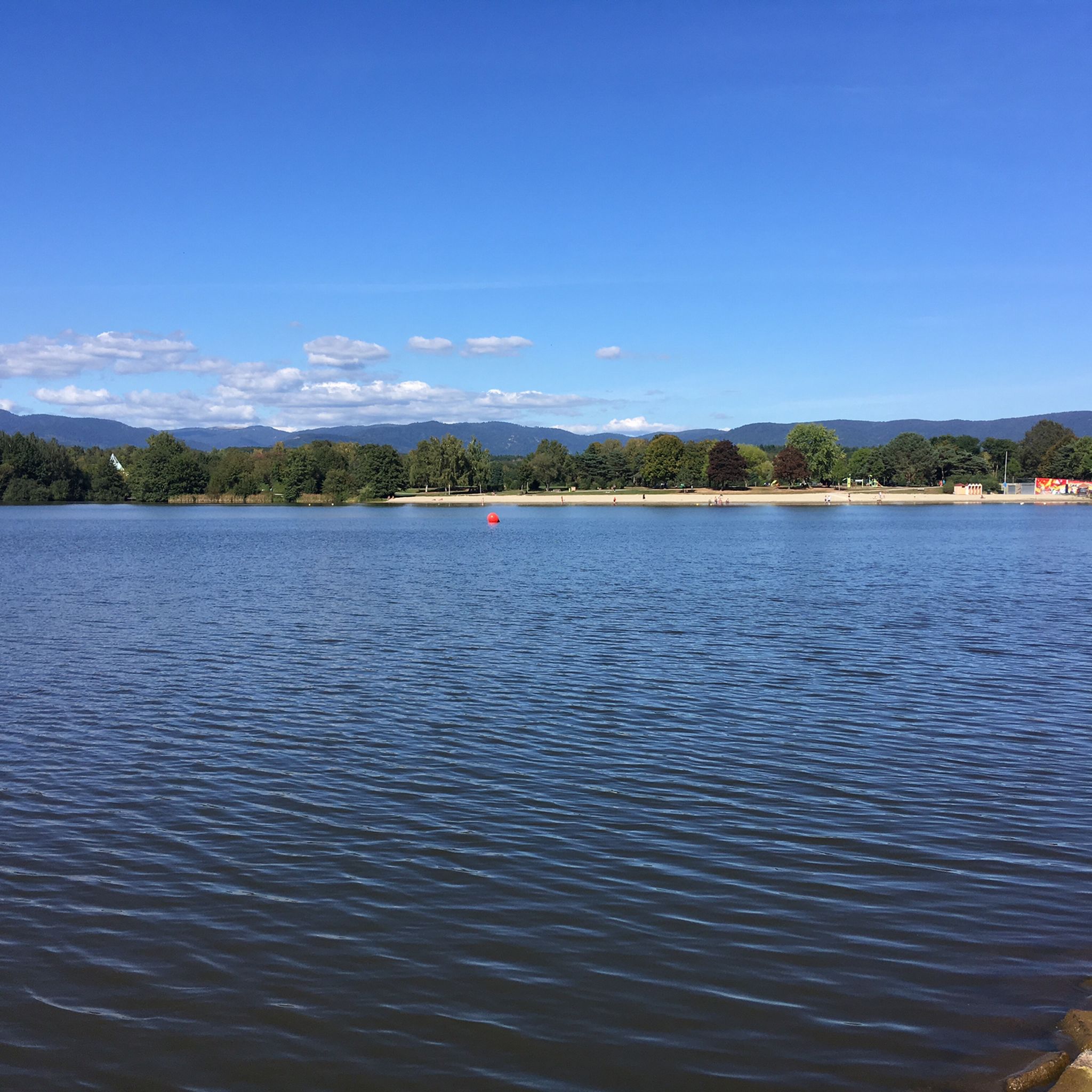
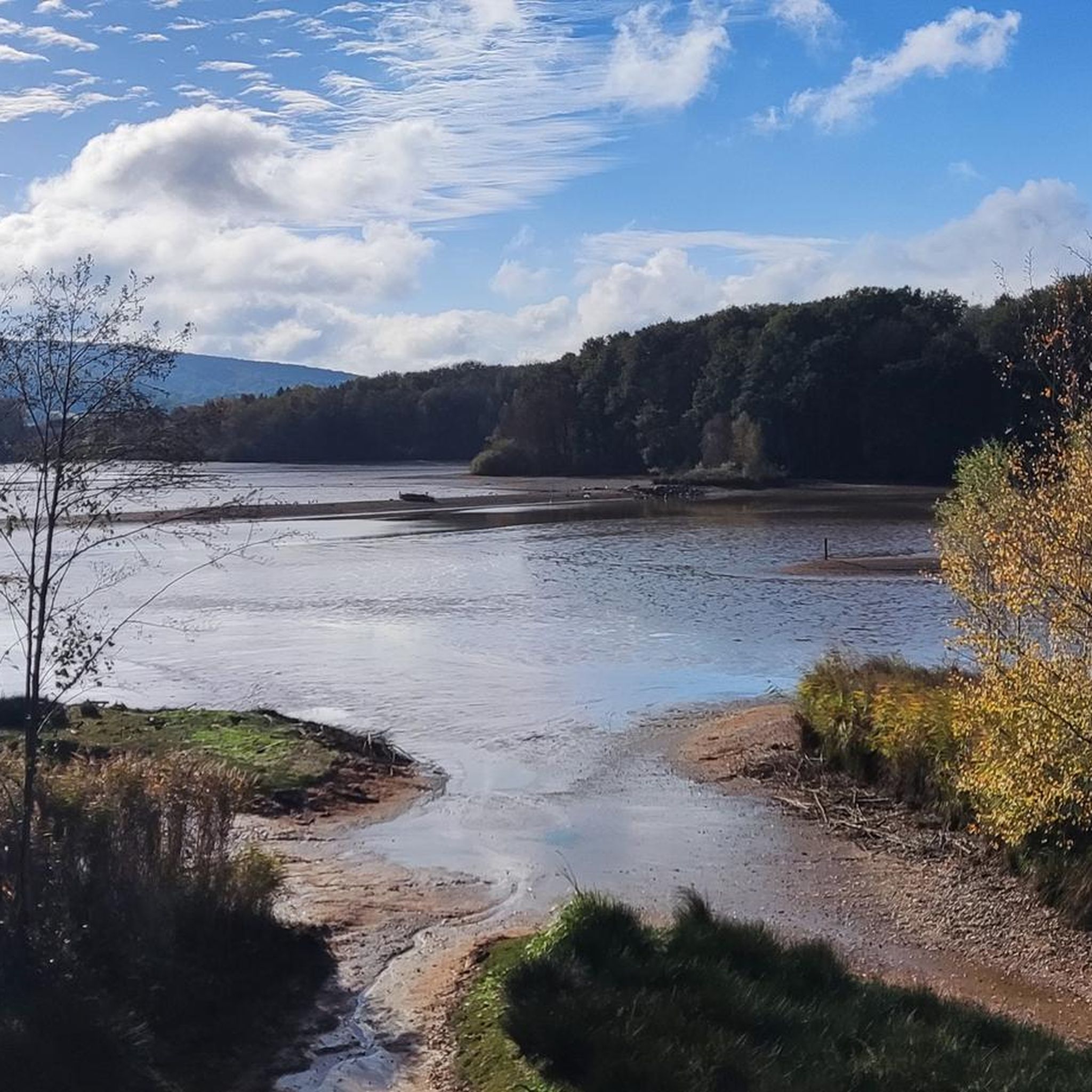
Tips from the Community

It starts gently... but that's just the beginning.
0
0
Long hesitated to do it. Short but very hard, with the Pinot turn and the last ramp of the super board to tell yourself that it's really hard.
0
0
Yes it's tough, with the difficulty of the Pinot turn and the last gravelly ramp.
0
0


very beautiful route!!! drive slowly!! watch out for pedestrians
0
0

Beautiful sculpture and coat of arms of Belfort, below the fortress.
0
0

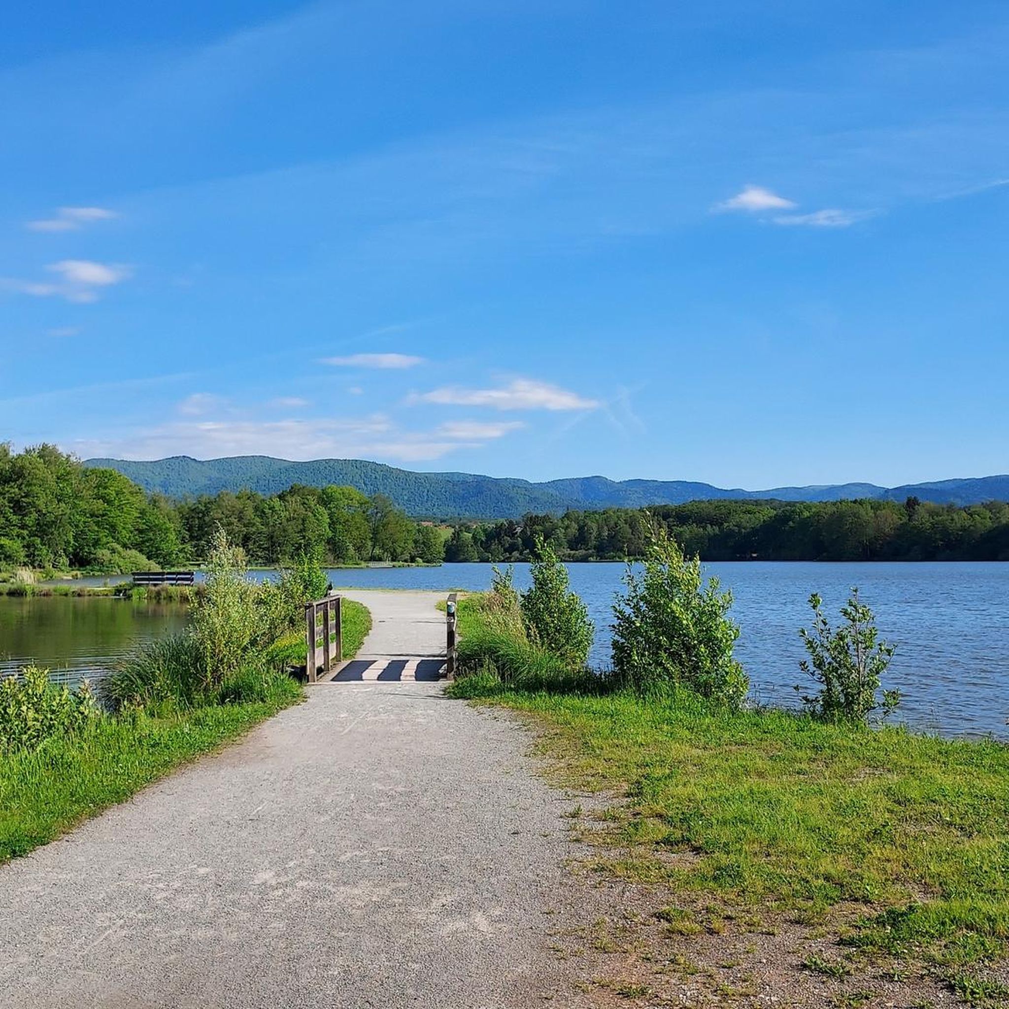
A beautiful green paradise between the highway and the city. The birdsong even drowns out the highway noise.
0
0

A beautiful strip of nature with waters and wet meadows, between the motorway and the city, for relaxation and enjoyment of nature.
3
0
Frequently Asked Questions
How many gravel bike trails are available around Sermamagny?
There are over 45 gravel bike trails around Sermamagny, offering a diverse range of experiences. This includes 3 easy routes, 21 moderate routes, and 21 difficult routes, catering to various skill levels.
Are there any easy gravel bike trails suitable for beginners in Sermamagny?
Yes, Sermamagny offers a few easy gravel bike trails perfect for beginners. While many routes feature significant climbs, there are options designed for a more relaxed experience. You can find 3 easy routes in the area.
Can I find family-friendly gravel bike routes near Sermamagny?
For families, routes with less elevation and smoother terrain are ideal. Consider exploring areas around the local lakes, such as the Lac du Malsaucy – Véronne Pond loop from Belfort, which is a moderate route that offers scenic views without extreme difficulty. Always check the route details for specific suitability.
Are there circular gravel bike routes in the Sermamagny area?
Yes, many of the gravel bike routes around Sermamagny are designed as loops. For instance, the Ballon d'Alsace – Col du Ballon d'Alsace loop from Giromagny and the Fort Senarmont, Bessoncourt – Fort de Vézelois loop from Belfort are popular circular options, allowing you to start and end at the same point.
What kind of viewpoints can I expect on gravel bike routes around Sermamagny?
The region offers stunning viewpoints, especially on routes that ascend into higher terrain. You can find panoramic vistas from mountain passes like the Ballon d'Alsace or along routes that pass by elevated areas. The Viewpoint overlooking Lake Malsaucy is a notable spot to enjoy the scenery.
Are there any historical sites or landmarks to see along the gravel bike trails?
Absolutely. The region is rich in history. You can explore historical fortifications like those found on the Fort Senarmont, Bessoncourt – Fort de Vézelois loop from Belfort. Other notable landmarks nearby include the Citadel of Belfort and The Lion of Belfort.
What is the best time of year for gravel biking in Sermamagny?
The best time for gravel biking in Sermamagny is generally from spring through autumn, when the weather is mild and trails are dry. During these seasons, you can fully enjoy the forested paths and mountain ascents. Winter can be challenging due to colder temperatures and potential snow in higher elevations.
Are there any routes that pass by lakes or offer wild swimming opportunities?
Yes, several routes incorporate the region's beautiful lakes. The Lac du Malsaucy – Véronne Pond loop from Belfort is a great example, passing by Véronne Pond and Étang du Malsaucy. While specific wild swimming spots are not always marked, these lakes offer scenic breaks and potential opportunities for a refreshing dip, where permitted.
What do other gravel bikers enjoy most about gravel biking in Sermamagny?
The gravel biking experience in Sermamagny is highly rated by the komoot community, with an average score of 4.3 stars from over 12 reviews. Riders often praise the diverse landscape, which includes a mix of forested paths, lake-side sections, and challenging ascents towards notable hills and mountain passes like La Planche des Belles Filles.
Are there any long-distance or advanced gravel biking routes in the area?
Sermamagny is well-suited for advanced gravel bikers looking for longer and more challenging rides. Routes like the La Planche des Belles Filles – Ballon de Servance loop from Giromagny, at 88.9 km with significant elevation, offer a demanding experience through mountain terrain. Many of the 21 difficult routes provide substantial challenges.
Are there gravel bike trails near Sermamagny accessible by public transport?
While specific public transport links directly to trailheads can vary, many routes start from towns like Belfort or Giromagny, which are generally more accessible by regional public transport. It's advisable to check local bus or train schedules to these towns and plan your route accordingly from there.
What are the typical weather conditions for gravel biking in Sermamagny?
Sermamagny experiences a temperate climate. Summers are generally warm and pleasant, ideal for riding, while winters can be cold with potential for snow, especially in higher elevations. Spring and autumn offer mild temperatures but can bring more rain. Always check the local forecast before heading out, as conditions can change rapidly in mountainous areas.
Most popular routes around Sermamagny
Most popular attractions around Sermamagny

Get inspired with the komoot mobile app


Explore more
Browse the best Gravel rides in other regions.
