The best gravel rides around Montredon-Des-Corbières
4.5
(80)
465
riders
49
rides
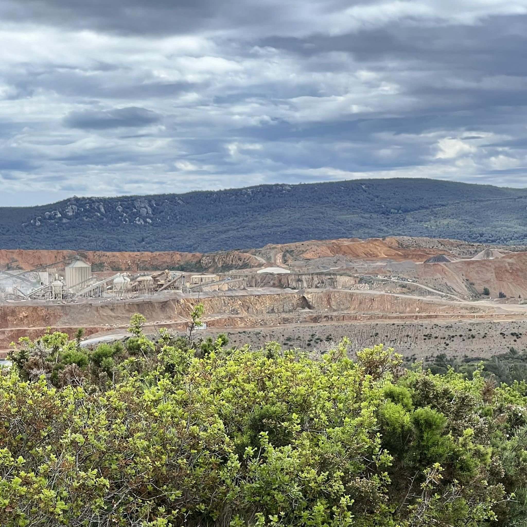
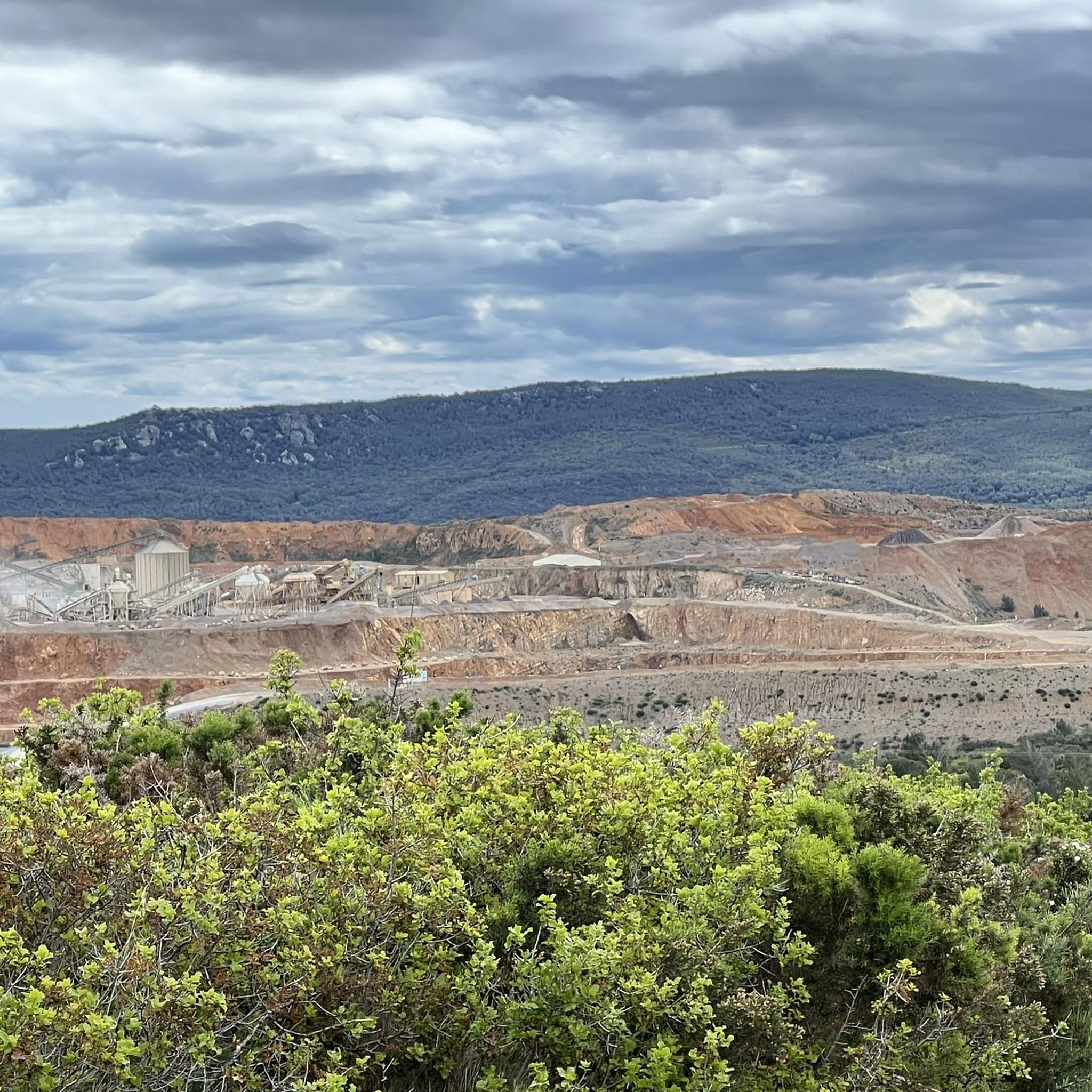
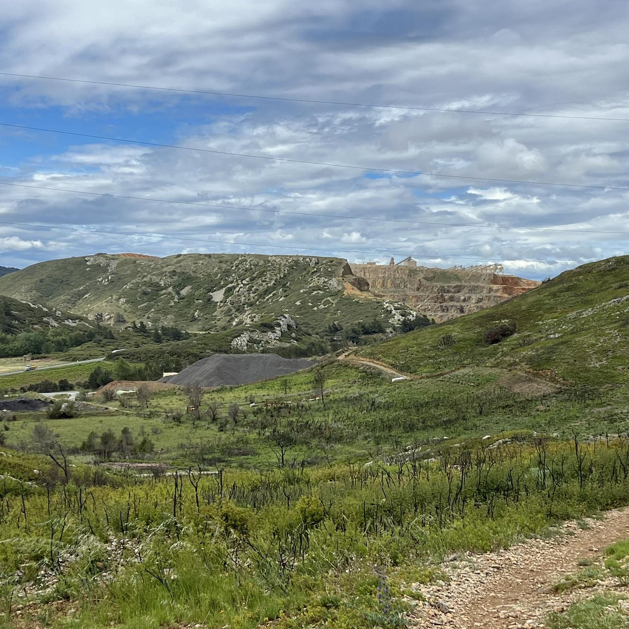
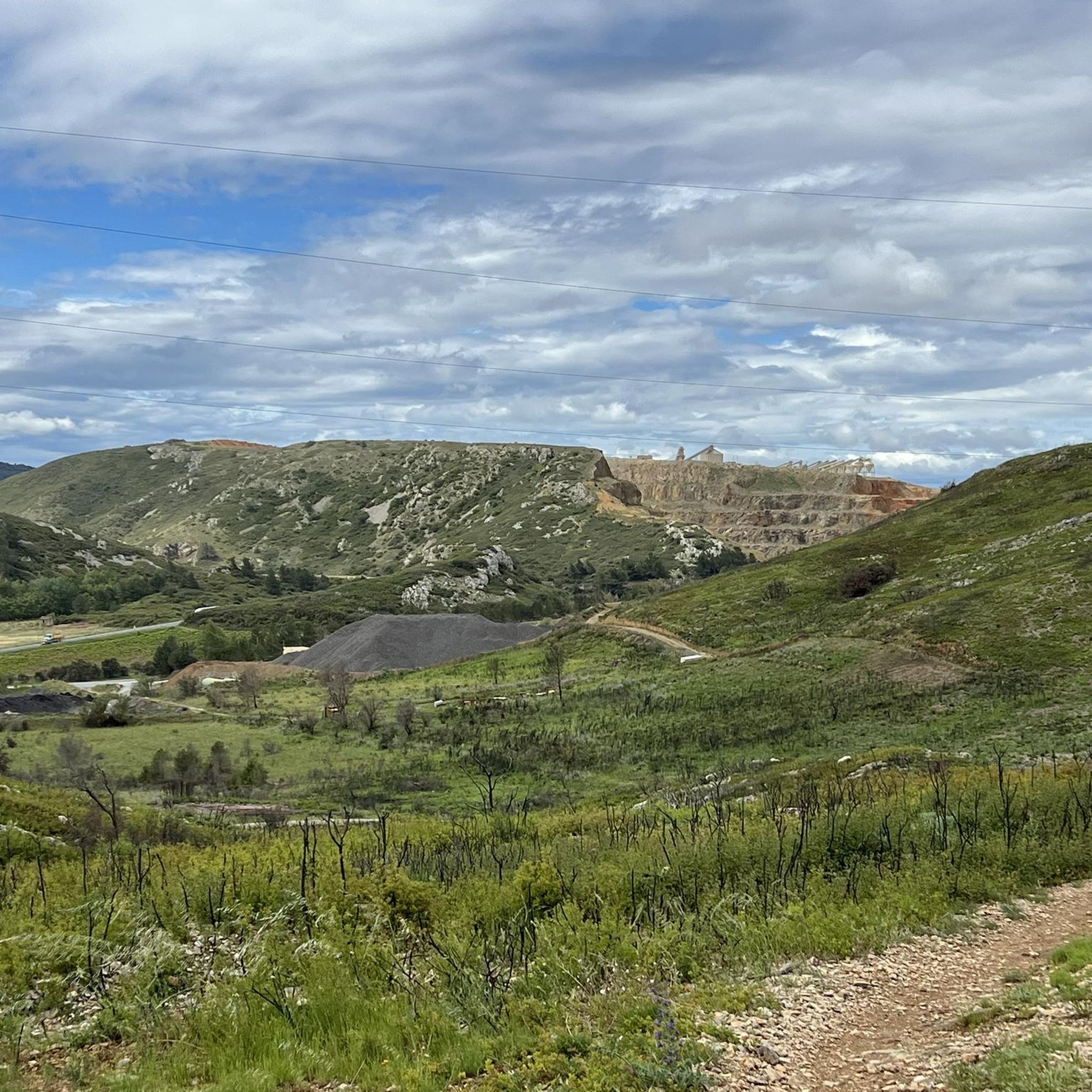
Gravel biking around Montredon-Des-Corbières offers diverse landscapes, from extensive vineyards to rugged terrain within the Corbières massif. The region is characterized by a mix of paved roads and unpaved tracks, providing varied surfaces ideal for gravel cycling. Waterways such as the Canal du Midi and Canal de la Robine offer flat, picturesque routes. Elevated points provide panoramic views of the surrounding massifs, the Pyrenees, and the Mediterranean Sea.
Best gravel bike trails around Montredon-Des-Corbières
- The most popular gravel bike trail…
Last updated: October 6, 2026
4.1
(8)
59
riders
95.1km
05:53
200m
200m
Hard gravel ride. Very good fitness required. Mostly paved surfaces. Suitable for all skill levels.
4.5
(22)
157
riders
132km
07:48
320m
320m
Hard gravel ride. Very good fitness required. Mostly paved surfaces. Suitable for all skill levels.

4.4
(7)
54
riders
60.9km
03:14
100m
100m
Moderate gravel ride. Good fitness required. Mostly paved surfaces. Suitable for all skill levels.
5.0
(1)
9
riders
42.6km
02:31
190m
190m
Moderate gravel ride. Good fitness required. Mostly paved surfaces. Suitable for all skill levels.
4.4
(5)
22
riders
22.0km
01:22
220m
220m
Moderate gravel ride. Good fitness required. Mostly paved surfaces. Suitable for all skill levels.
Get access to more routes and recommendations from other explorers.
Already have an account?
Our route recommendations are based on thousands of hikes, rides, and runs completed by other people on komoot.
Start today with a free account
Your next adventure awaits.
Tips from the Community

A very scenic route between the waters, which is better avoided in rain or on wet ground.
0
0

Here, we reach the spot where the Canal Sainte-Marie flows into the Gruissan pond. The waters of the canal then mix with those of the lagoon, which have a higher salinity due to the exchange with the sea. On the other side of the pond, the Barberousse Tower reveals itself on its limestone promontory. Built between 1245 and 1247 by the Archbishop of Narbonne, Guillaume de Broa, this tower is the main remnant of the medieval castle that guarded the maritime access to the Narbonne area.
2
0
From this narrow strip of land, the lagoon landscape of Gruissan reads almost like a succession of parallel bands: the wetlands and secondary ponds to the south, the path, the Sainte-Marie canal, then the Gruissan pond to the north. The Sainte-Marie canal bears witness to the former hydraulic development of the coastal plain. Integrated into a network of canals intended to manage its waters, it notably participated in the draining of the former salt pond. Today, it contributes to the freshwater supply of the Gruissan pond and thus participates in the salinity variations of the lagoon. Beyond the pond, the reliefs of Gruissan and the Barberousse Tower stand out on the horizon.
2
0

The l'Aiguille lock is a double lock on the Canal du Midi located in the commune of Puichéric.
0
0
L'Epanchoir de l'Argent Double, classified as a historic monument: started in 1677 and completed in 1694 according to Vauban's plans, it allows the canal to evacuate its excess water.
0
0
L'Epanchoir de l'Argent Double, classified as a historic monument: started in 1677 and completed in 1694 according to Vauban's plans, it allows the canal to drain its excess water.
0
0
Paraza is a wine-growing village in the Minervois region of the Aude, rich in its history dating back beyond the Roman period. It is marked by the construction of the Canal du Midi, during which Pierre Paul Riquet resided at the Château de Paraza during the works on the Canal and the Pont canal du Répudre.
0
0
Listed and protected as a historic monument in 1942, the canal bridge is one of the most remarkable engineering structures on the Canal du Midi and one of the very first built in France in the mid-17th century. With its 90 m height and its single arch, the canal bridge has a massive appearance: it must indeed withstand the weight of the water and boats. The sight of boats passing at a distance from the ground in a magnificent landscape of vineyards and woods amazes visitors today as it astonished those of the time of the Sun King.
0
0
Frequently Asked Questions
How many gravel bike trails are available around Montredon-Des-Corbières?
There are over 70 gravel bike routes documented on komoot around Montredon-Des-Corbières. These routes offer a diverse range of experiences, from easy canal paths to more challenging ascents within the Corbières massif.
What kind of terrain can I expect on gravel bike routes in Montredon-Des-Corbières?
The region offers a varied terrain ideal for gravel biking, combining paved roads with unpaved tracks and trails. You'll find routes traversing extensive vineyards, following historic canals like the Canal du Midi, and exploring the rugged landscapes of the Corbières massif. Some routes, like the "La Littorale," offer a quasi-greenway experience through preserved rural settings.
Are there any easy gravel bike routes suitable for beginners or families?
Yes, Montredon-Des-Corbières has several easy gravel routes. For a tranquil ride, consider the Canal at Sallèles – Via Domitia loop from Sallèles-d'Aude, an easy 25.6 km path that follows canals and ancient Roman roads. The region's waterways, including the Canal du Midi and Canal de la Robine, generally offer flat and picturesque options.
What are some notable viewpoints or scenic spots along the gravel trails?
Many routes offer superb views. Elevated points like Mont Tauch provide panoramic vistas of the surrounding massifs, the distant Pyrenees, and the Mediterranean Sea. The Massif de Fontfroide also offers 360-degree views. You can also find specific viewpoints such as the View of the Étang de Bages-Sigean or the Viewpoint overlooking the Étang du Doul.
Are there any circular gravel bike routes in the area?
Yes, many routes are designed as loops. For example, the Argent-Double Spillway – Canal du Midi Bridge loop from Canet is a moderate 42.5 km route exploring the Canal du Midi. Another option is the Étang du Doul – La Littorale Coastal Route loop from Réveillon, which offers coastal views.
What historical or natural attractions can I see while gravel biking?
The region is rich in attractions. Along the canals, you can visit charming spots like Le Port du Somail, a historic hamlet on the Canal du Midi. The area also features significant natural monuments such as the Étang du Doul and the Plan d'Eau de la Garenne. The magnificent Abbaye de Fontfroide, set within its own massif, is also a notable landmark.
What do other gravel bikers enjoy most about Montredon-Des-Corbières?
The gravel biking routes around Montredon-Des-Corbières are highly rated by the komoot community, with an average score of 4.5 stars from over 70 reviews. Riders often praise the diverse landscapes, from vineyards to rugged terrain, and the picturesque routes along historic canals. The mix of paved and unpaved surfaces provides an ideal gravel cycling experience.
Are there any longer gravel bike routes for experienced riders?
Yes, there are routes that offer a more extended ride. The La Cesse Aqueduct – The Port of Somail loop from Narbonne is a moderate 38.9 km trail. Another option is the Panorama of Gruissan – Gruissan Lagoon loop from Narbonne, which covers 38.6 km and offers coastal views.
What is the best time of year for gravel biking in Montredon-Des-Corbières?
The region generally offers good conditions for outdoor activities. Spring and autumn are often ideal, with pleasant temperatures and vibrant landscapes. Summers can be warm, especially in the open vineyard areas, while winters are typically mild, allowing for year-round exploration, though some routes might be affected by rain.
Where can I find parking for gravel biking trails in Montredon-Des-Corbières?
While specific parking spots for each trail are not listed here, many routes start from towns or villages like Canet, Sallèles-d'Aude, or Narbonne, where public parking is generally available. It's advisable to check local parking options in the starting location of your chosen route.
Are there any challenging gravel bike routes in the Corbières massif?
Yes, the Corbières massif is known for its rugged terrain and offers more demanding ascents. While specific difficult routes are not detailed here, the region has 9 routes rated as 'difficult' out of 70, providing options for experienced gravel bikers seeking a challenge and rewarding views, such as those from Mont Tauch.
Most popular routes around Montredon-Des-Corbières
Most popular attractions around Montredon-Des-Corbières

Get inspired with the komoot mobile app


Explore more
Browse the best Gravel rides in other regions.
