The best gravel rides around Peillonnex
4.4
(48)
388
riders
44
rides
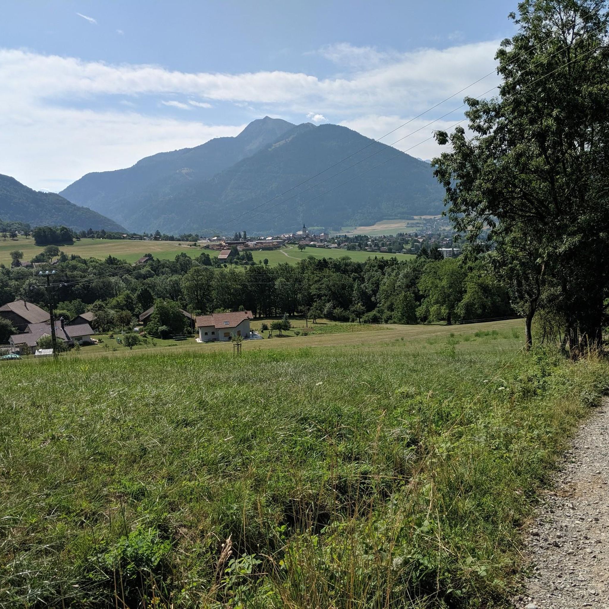
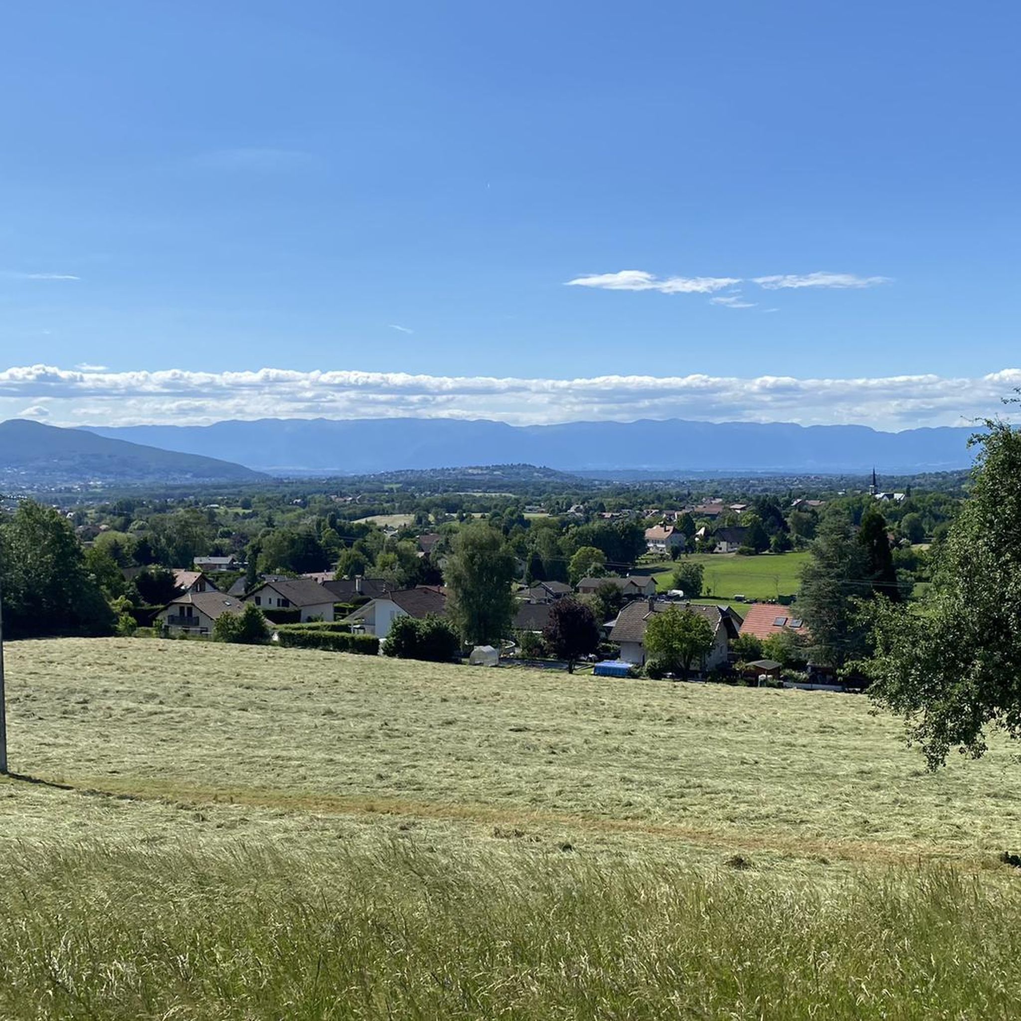
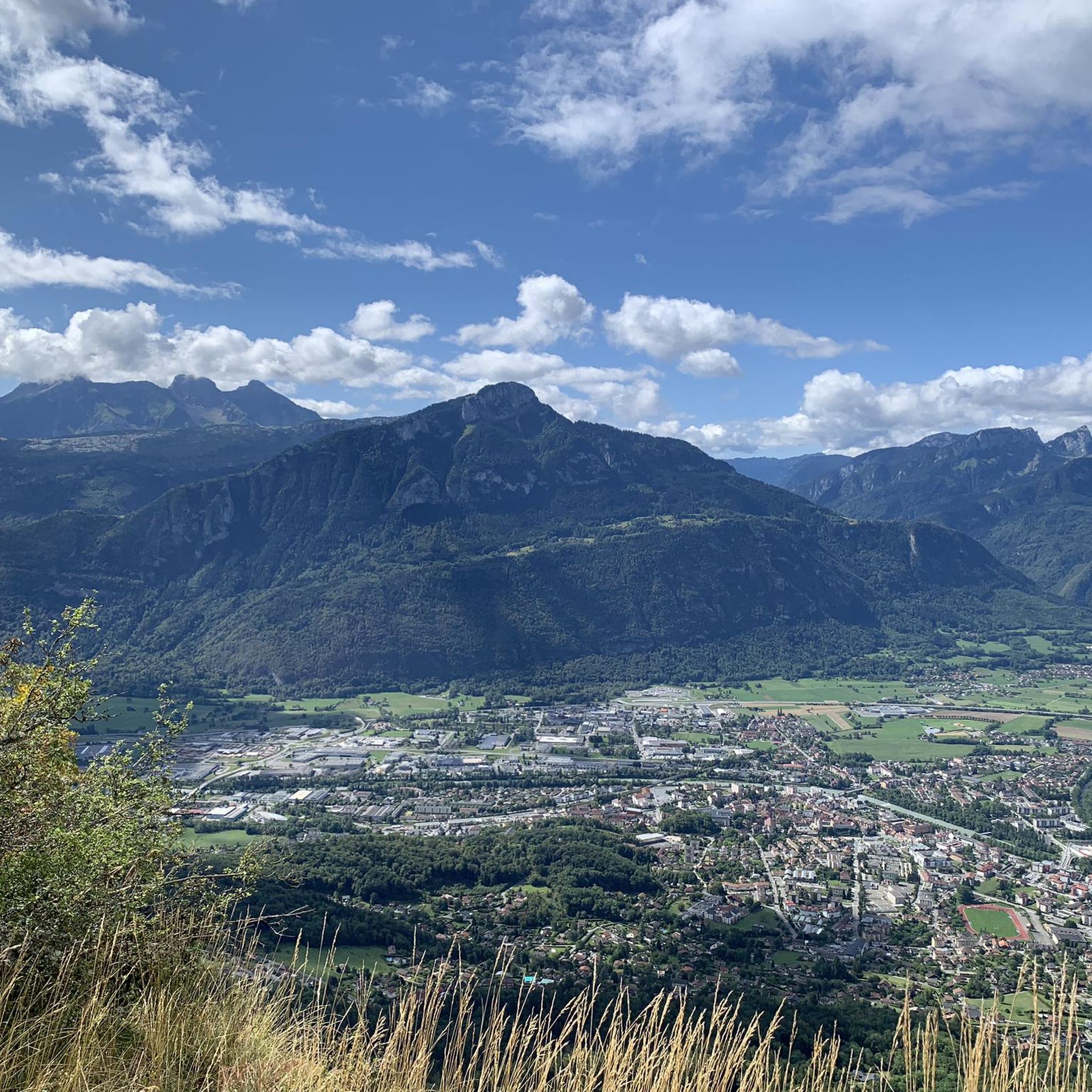
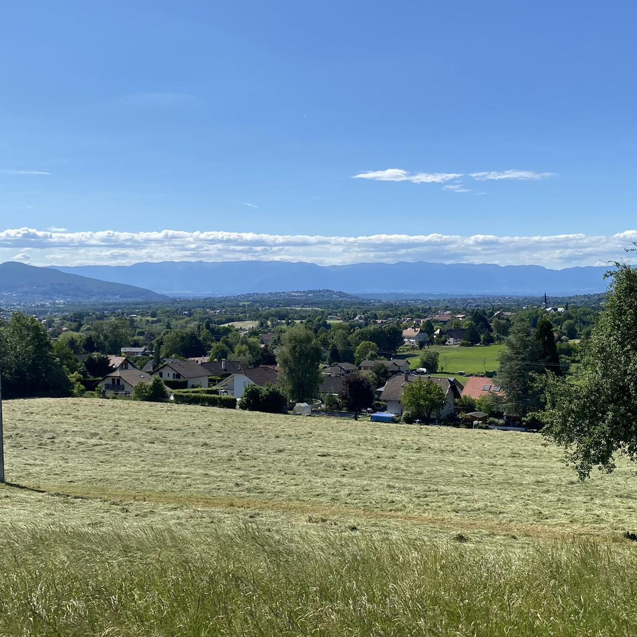
Gravel biking around Peillonnex offers access to a diverse landscape in the Haute-Savoie department, characterized by mountainous terrain, river valleys, and varied ecosystems. The region features significant elevation changes, with routes traversing both paved and unpaved surfaces. Riders can expect a mix of forests, mountain pastures, and riverbanks, providing a range of technical challenges and scenic vistas.
Best gravel bike trails around Peillonnex
- The most popular gravel bike trail is Footbridge over the Arve – Arve Path loop from Nangy, a 16.8 miles (27.1 km) trail that takes 2 hours 25 minutes to complete. This route follows the Arve river, offering a mix of riverside paths and open sections.
- Another top favourite among local gravel bikers is Ponds on the banks of the Arve – Bridge in Bonneville loop from Marcellaz, a difficult 26.5 miles (42.6 km) path. This route explores the tranquil ponds and riverbanks of the Arve, providing a varied terrain experience.
- Local gravel bikers also love the Gorges du Borne – Footbridge over the Arve loop from Bonneville, a 37.3 miles (60.0 km) trail leading through the Gorges du Borne and along the Arve river, often completed in about 5 hours 44 minutes.
- Gravel biking around Peillonnex is defined by mountainous terrain, river valleys, and diverse ecosystems ranging from forests to mountain pastures. The network offers options for different ability levels, from moderate rides to challenging, technical passages.
- The routes in Peillonnex are highly rated by the komoot community with an average score of 4.5 stars from over 48 reviews. More than 400 gravel bikers have used komoot to explore Peillonnex's varied terrain.
Last updated: October 6, 2026
4.0
(1)
29
riders
48.8km
03:13
480m
480m
Hard gravel ride. Very good fitness required. Mostly paved surfaces. Suitable for all skill levels.
4.7
(3)
29
riders
Easy gravel ride. Great for any fitness level. Mostly paved surfaces. Suitable for all skill levels.

5.0
(3)
22
riders
Moderate gravel ride. Good fitness required. Mostly paved surfaces. Suitable for all skill levels.
5.0
(1)
18
riders
60.0km
04:50
1,760m
1,760m
Hard gravel ride. Very good fitness required. Mostly paved surfaces. Suitable for all skill levels.
5
riders
32.5km
02:43
720m
720m
Hard gravel ride. Very good fitness required. You may need to push your bike for some segments of this route.
Get access to more routes and recommendations from other explorers.
Already have an account?
Our route recommendations are based on thousands of hikes, rides, and runs completed by other people on komoot.
Start today with a free account
Your next adventure awaits.
Tips from the Community

The bridge has had its current form since 1866 and was renovated in 2025.
0
0

Nice little shop and bar, unfortunately closed on Monday mornings. More info: https://www.boissellerie-milhomme.fr/
2
0

Boisinges intersection (Roman road) Altitude 700m
1
0
Intersection point Bucquigny (Roman Road) Altitude 650m
1
0


We savor the Môle from all angles, especially on the last part of the journey
0
0
Frequently Asked Questions
How many gravel bike trails are available around Peillonnex?
There are over 50 gravel bike trails around Peillonnex, offering a diverse range of experiences. These routes are highly regarded by the komoot community, with an average rating of 4.5 stars from nearly 50 reviews. More than 460 gravel bikers have already explored this varied terrain using komoot.
What kind of terrain can I expect on gravel bike trails near Peillonnex?
The terrain around Peillonnex is quite varied, characteristic of the Haute-Savoie region. You'll encounter a mix of mountainous sections, river valleys, and diverse ecosystems ranging from dense forests to open mountain pastures. Routes often combine paved and unpaved surfaces, providing both smooth stretches and more technical passages that might even require dismounting your bike in higher, more challenging areas.
Are there any easy gravel bike routes suitable for beginners or families in Peillonnex?
Yes, there are options for easier rides. For instance, the Footbridge over the Arve – Arve Path loop from Nangy is a moderate 27.1 km trail that follows the Arve river, offering a mix of riverside paths and open sections. While many routes in the region are more challenging, this one provides a good starting point.
What are some notable natural features or landmarks I can see along the gravel bike trails?
The region is rich in natural beauty. You can discover serene spots like La Gouille aux Morts, a peaceful pond known for its wildlife. The Col de Réray offers magnificent landscapes, including views of Lake Geneva and wild mountain pastures. You might also encounter impressive geological formations like the Gorges du Pont du Diable or the unique Copacou Stone.
Are there any circular gravel bike routes around Peillonnex?
Yes, many of the gravel routes around Peillonnex are designed as loops. For example, the Ponds on the banks of the Arve – Bridge in Bonneville loop from Marcellaz is a challenging 42.6 km circular path exploring tranquil ponds and riverbanks. Another option is the Gorges du Borne – Footbridge over the Arve loop from Bonneville, a longer 60 km trail.
What is the best time of year for gravel biking in Peillonnex?
The best time for gravel biking in Peillonnex is generally from spring through autumn. During these seasons, the weather is more favorable, and the trails are typically clear of snow, allowing access to the diverse landscapes, including mountain passes and valleys. Winter conditions can make some higher-altitude routes challenging or impassable due to snow and ice.
Are there any advanced or challenging gravel bike routes for experienced riders?
Absolutely. The region is known for its challenging routes with significant elevation changes. For instance, the Arve Path – Ponds on the banks of the Arve loop from Bonneville is a difficult 60.9 km route with over 1200 meters of elevation gain. Another demanding option is the Col de Réray – Ponds on the banks of the Arve loop from Saint-Jean-de-Tholome, covering 50.8 km with over 900 meters of climbing.
Can I find cafes or places to stop for refreshments along the gravel trails?
While specific cafes directly on every trail are not guaranteed, the region around Peillonnex features charming villages and towns where you can find places to stop. Planning your route to pass through these areas, such as Bonneville or other local communes, will allow you to access refreshments and local amenities.
What are the elevation gains like on gravel bike routes in Peillonnex?
Gravel bike routes around Peillonnex often feature significant elevation gains, reflecting the mountainous terrain of the Haute-Savoie. You can expect anything from moderate climbs of around 100-200 meters on riverside paths to challenging ascents exceeding 1700 meters on longer, more difficult routes. This makes the area suitable for riders looking for a good workout and panoramic views.
Are there any historical sites or cultural points of interest near the gravel biking areas?
Yes, Peillonnex itself has historical significance. You can explore The Priory of Peillonnex and the Romanesque-Gothic 12th-century Church of Peillonnex, which is recognized as a historical monument. A small walking tour around the priory offers insights into the local landscape and architecture, providing a cultural complement to your biking adventure.
Is it possible to see views of Mont Blanc from any of the gravel routes?
Yes, from some of the higher gravel rides and mountain passes in the broader French Alps region around Peillonnex, it is indeed possible to catch stunning views of the Mont Blanc massif. The mountainous terrain and panoramic viewpoints, such as those found near the Col de Réray, often offer glimpses of this iconic peak on clear days.
Most popular routes around Peillonnex
Most popular attractions around Peillonnex

Get inspired with the komoot mobile app


Explore more
Browse the best Gravel rides in other regions.
