The best gravel rides around Vallouise
4.5
(53)
554
riders
21
rides
Gravel biking around Vallouise offers diverse terrain within the Écrins National Park in the Southern French Alps. The region features rugged mountain landscapes, serene valleys, and glacial formations. Riders can explore paths along the La Gyronde river, through meadows, and up to mountain passes, with routes traversing both paved and unpaved sections. This area provides a network of trails suitable for various skill levels, from moderate rides to challenging routes with significant elevation gains.
Best gravel bike trails around Vallouise
…Last updated: October 6, 2026
5.0
(1)
30
riders
63.7km
07:10
1,830m
1,840m
Hard gravel ride. Very good fitness required. You may need to push your bike for some segments of this route.
1
riders
46.6km
06:14
1,790m
1,790m
Hard gravel ride. Very good fitness required. You may need to push your bike for some segments of this route.

5.0
(1)
19
riders
85.4km
07:32
2,960m
2,960m
Hard gravel ride. Very good fitness required. Mostly paved surfaces. Suitable for all skill levels.
4.0
(1)
14
riders
34.5km
03:16
1,040m
1,040m
Hard gravel ride. Very good fitness required. Mostly paved surfaces. Suitable for all skill levels.
4.3
(4)
18
riders
47.0km
04:00
1,460m
1,460m
Hard gravel ride. Very good fitness required. Mostly paved surfaces. Suitable for all skill levels.
Get access to more routes and recommendations from other explorers.
Already have an account?
Our route recommendations are based on thousands of hikes, rides, and runs completed by other people on komoot.
Start today with a free account
Your next adventure awaits.
Popular around Vallouise
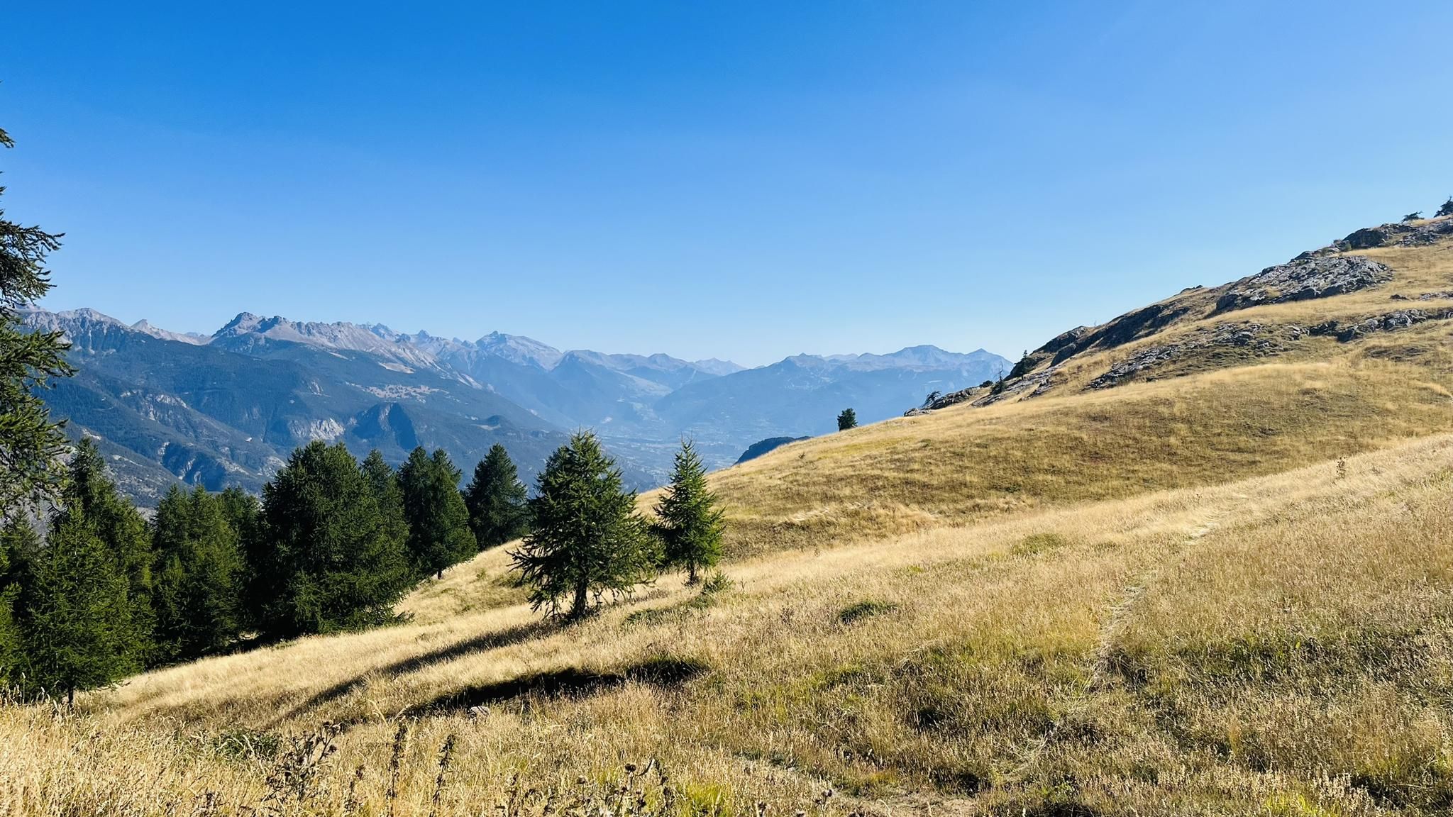
A mountain paradise – The Grand Trail des Écrins

Écrins, Belledonne and Vercors – HexaTrek, Hautes-Alpes
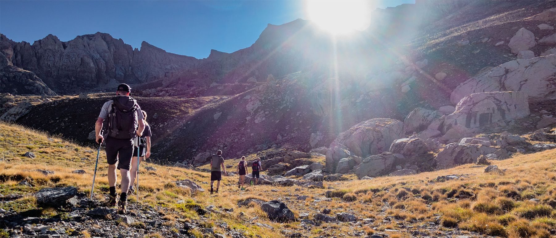
Écrins National Park and more – hikes in and around Puy Saint Vincent
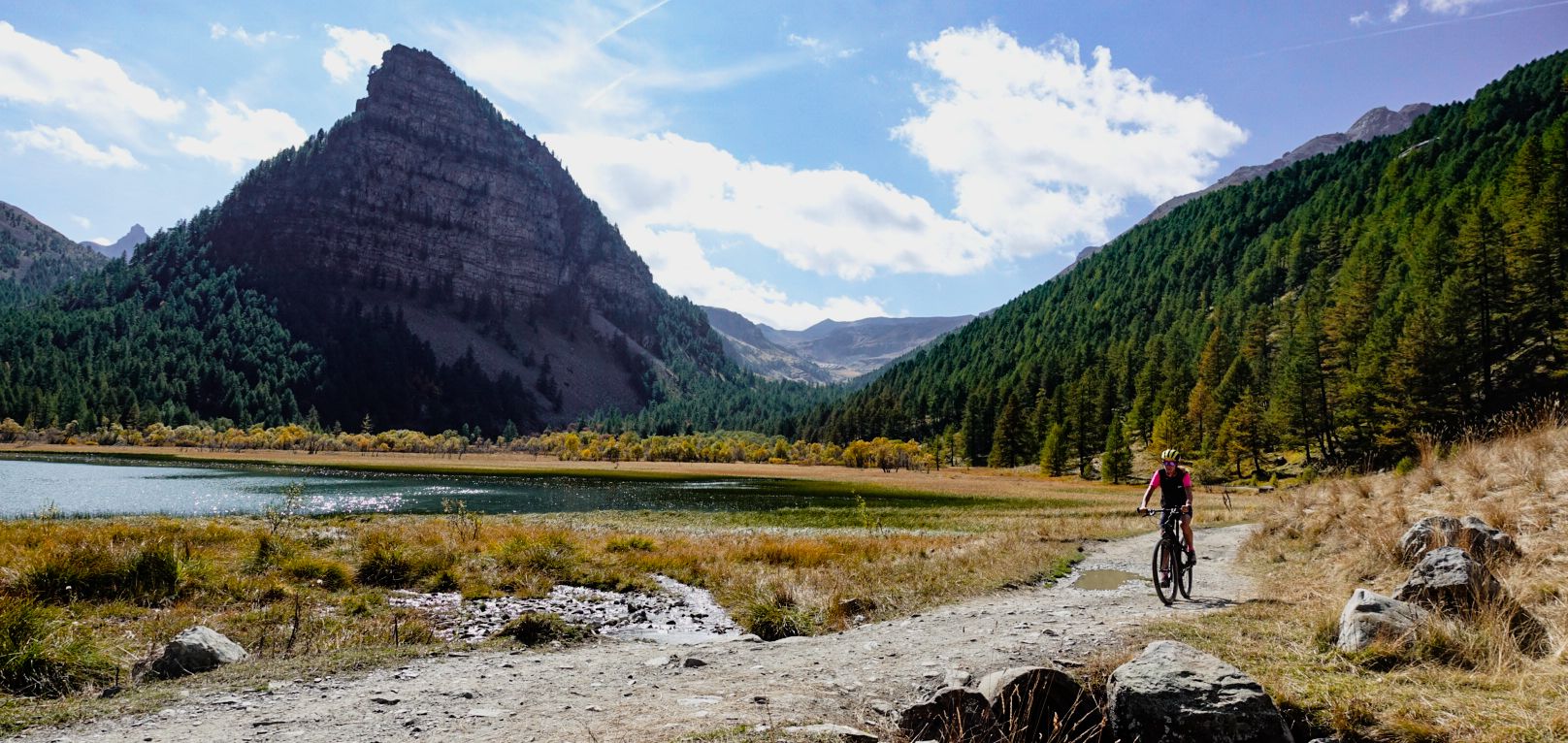
Military roads, forts and tunnels – gravel in the Southern Alps
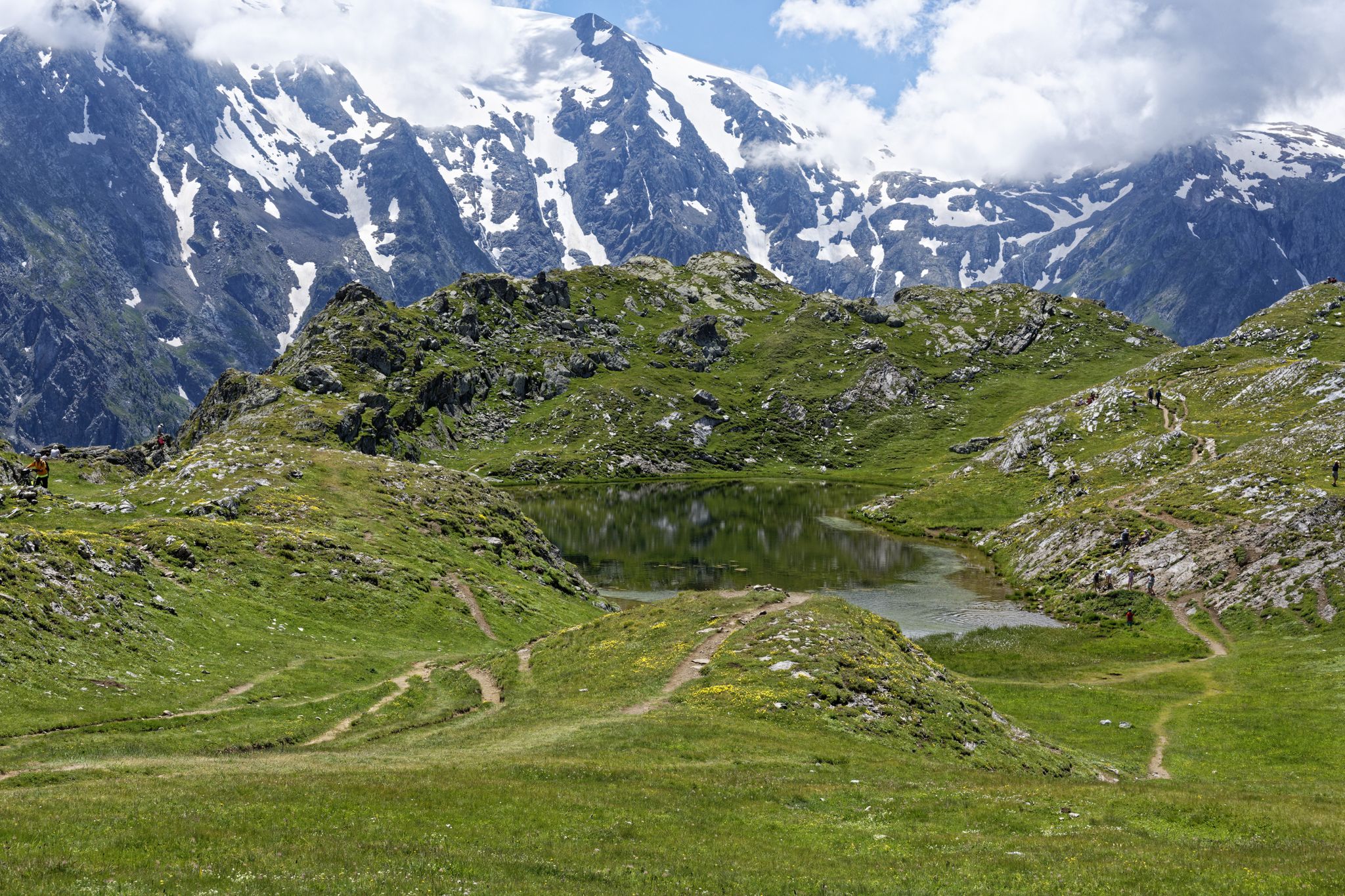
Exploring the Oisans and the Écrins in France — the GR 54
Running Trails around Vallouise
Hiking around Vallouise
MTB Trails around Vallouise
Road Cycling Routes around Vallouise
Mountain Hikes around Vallouise
Other adventures around Vallouise


Tips from the Community

Beautiful plateau that is reached after a long climb with a beautiful view
0
0
Beautiful stretch below the Tete de la Rochaille
0
0

Beautiful road, always good surface. Ideal for gravel.
0
0

Viewpoint over the Durance Valley.
16
0
The stretch is about 1 km long with very steep slopes, so you need to manage your effort well.
18
0
The road is free of traffic, the climb does not present any particular difficulties and the asphalt is in excellent condition.
19
0

South side of the Col de la Pousterle with impressive views over the Fournel Valley. Our favourite house climb, or descent.
0
0
Frequently Asked Questions
What kind of terrain can I expect on gravel bike trails around Vallouise?
Gravel biking around Vallouise offers a diverse mix of terrain within the Écrins National Park. You'll encounter rugged mountain landscapes, serene valleys, and glacial formations. Routes often combine paved sections with unpaved tracks, gravel paths along rivers like the La Gyronde, and former military roads. Expect everything from meadows to high mountain passes such as the Col de la Pisse and Col de la Pousterle.
Are there gravel bike trails suitable for beginners or families in Vallouise?
While many routes in Vallouise are challenging, the region does offer options for varying skill levels. The extensive network of 220 km of marked trails includes some moderate gravel rides. For families or beginners, look for shorter, less elevated loops, particularly those staying within the valleys and along river paths, which tend to be less demanding than the high mountain passes.
What are some of the most scenic natural features I can see while gravel biking in Vallouise?
Vallouise is rich in natural beauty. You can cycle past dramatic high mountains, impressive glaciers, and deep valleys. Notable features include the picturesque Plateau de Chambran, the milky-looking Lac de l'Eychauda fed by a glacier, and the meandering La Gyronde river. Many routes also offer stunning views of peaks like Mont Pelvoux.
Are there any waterfalls accessible by gravel bike in the Vallouise area?
Yes, the Vallouise area is home to several beautiful waterfalls that can be incorporated into your gravel biking adventures. You might encounter Pissette Falls, Byasse Waterfall, or even the impressive Narreyroux Waterfall. Some routes may pass directly by them, while others might require a short detour or hike-a-bike section.
What is the best time of year for gravel biking in Vallouise?
The best time for gravel biking in Vallouise is typically from late spring through early autumn (May to October). During these months, the weather is generally favorable, and most mountain passes are clear of snow. Summer offers warmer temperatures, while spring and autumn provide cooler rides and vibrant foliage. Always check local weather and trail conditions, especially for higher-altitude routes, as conditions can change rapidly in the mountains.
How long do gravel bike trails in Vallouise typically take to complete?
The duration of gravel bike trails in Vallouise varies significantly based on distance, elevation gain, and your fitness level. Routes can range from moderate rides of a few hours, like a 19km loop, to challenging full-day adventures. For example, the difficult Glaciers, rivers and meadows in the Ecrins route is about 63.7 km and can take over 7 hours, while the 85 km Col de la Pousterle – View of the Fournel Valley loop from Puy-Saint-Vincent often requires over 9 hours.
Are there any loop gravel bike trails in Vallouise?
Yes, Vallouise offers several excellent loop gravel bike trails, allowing you to start and finish in the same location. A notable example is the challenging Col de la Pousterle – View of the Fournel Valley loop from Puy-Saint-Vincent, which takes you through mountain terrain with expansive views. Another option is the Mur du Pallon – Col de la Pousterle loop from Puy-Saint-Vincent, offering a substantial ride with significant elevation.
What do other gravel bikers enjoy most about the trails in Vallouise?
The gravel bike trails in Vallouise are highly rated by the komoot community, with an average score of 4.2 stars from over 30 reviews. Riders frequently praise the stunning, diverse scenery of the Écrins National Park, the variety of terrain from river paths to high mountain passes, and the opportunity to explore off-the-beaten-path routes. The challenging nature of many trails is also a draw for those seeking a rewarding adventure.
Can I find challenging gravel bike routes with significant elevation in Vallouise?
Absolutely. Vallouise is known for its demanding gravel routes, many featuring significant elevation gains. For instance, the Vallée de la Vallouise, Chambran and Col de la Pisse route includes a substantial climb to Col de la Pisse, with nearly 1,800 meters of ascent. The Col de la Pousterle – View of the Fournel Valley loop from Puy-Saint-Vincent route boasts almost 3,000 meters of elevation gain over 85 km, requiring very good fitness and advanced riding skills.
Are there any specific landmarks or points of interest along the gravel routes in Vallouise?
Beyond the natural beauty, gravel routes in Vallouise can lead you to various points of interest. You might pass through the Plateau de Chambran, a recognized natural park, or catch glimpses of the historic Vauban fortifications in nearby Briançon. The routes themselves often traverse areas with rich local history and traditional alpine architecture.
How many gravel bike trails are available in the Vallouise region?
The Vallouise region, within the Pays des Écrins, boasts an extensive network of over 220 km of marked trails suitable for various forms of cycling, including gravel biking. Specifically for gravel biking, komoot lists 26 distinct routes, with 5 considered moderate and 21 classified as difficult, offering a wide range of options for exploration.
What should I wear for gravel biking in Vallouise's mountain environment?
Given the varied mountain terrain and potential for rapid weather changes in the Écrins National Park, it's essential to dress in layers. Opt for moisture-wicking base layers, an insulating mid-layer, and a windproof/waterproof outer shell. Padded cycling shorts are recommended for comfort on longer rides. Always carry gloves, a helmet, and consider knee/elbow pads for more technical descents. Sun protection (sunscreen, sunglasses) is also crucial at higher altitudes.
Most popular routes around Vallouise
Most popular attractions around Vallouise

Get inspired with the komoot mobile app


Explore more
Browse the best Gravel rides in other regions.
