The best gravel rides around Taillefontaine
4.5
(2)
15
riders
2
rides
Gravel biking around Taillefontaine offers a diverse landscape characterized by dense woodlands, river valleys, and moderate elevations. The region features a network of trails that traverse through forests such as Foret de Retz and Forêt de Compiègne, alongside the Aisne valley, and past historical landmarks. Elevations are generally moderate, with hills like Mont Saint-Marc providing varied terrain. This area provides a blend of natural beauty and cultural points of interest for gravel cyclists.
Best gravel bike trails around Taillefontaine
- The…
Last updated: May 21, 2026
4.5
(2)
12
riders
53.0km
03:07
190m
190m
Moderate gravel ride. Good fitness required. Mostly paved surfaces. Suitable for all skill levels.
2
riders
Easy gravel ride. Great for any fitness level. Mostly paved surfaces. Suitable for all skill levels.

Sign up for free
1
riders
30.1km
01:41
250m
250m
Moderate gravel ride. Good fitness required. Mostly paved surfaces. Suitable for all skill levels.
Our route recommendations are based on thousands of hikes, rides, and runs completed by other people on komoot.
Start today with a free account
Your next adventure awaits.
Login or Signup


Tips from the Community

Pedestrian and cyclist bridge over the Aisne River. The name, "Passerelle des Anglais," refers to the important role the British played in the liberation of Soissons in 1918 and in the reconstruction of the city after the First World War, including the reconstruction of the original bridge, which was destroyed by the German army.
6
0

New footbridge much wider than the old one.
1
0
The banks of the Aisne accessible by bike 👍
0
0
A good shortcut to get to Pasly.
0
0


Pont suspendu / Passerelle des Anglais, On this spot, the British army built a temporary wooden bridge in 1915 after the destruction of the original bridge by the Germans. The current elegant pedestrian bridge from 2016 is a reminder of this “pont des Anglais” and is part of a project to revitalise the banks of the Aisne. It offers a panoramic view of the river and the nearby memorial to British soldiers.
7
0
Founded in 1139 on the site of an older community of secular canons, the abbey is named after Saint Léger of Autun. The Gothic cloister and Romanesque crypt are well preserved. Today, the complex houses the Musée municipal de Soissons and is a major heritage site in the city centre.
7
0

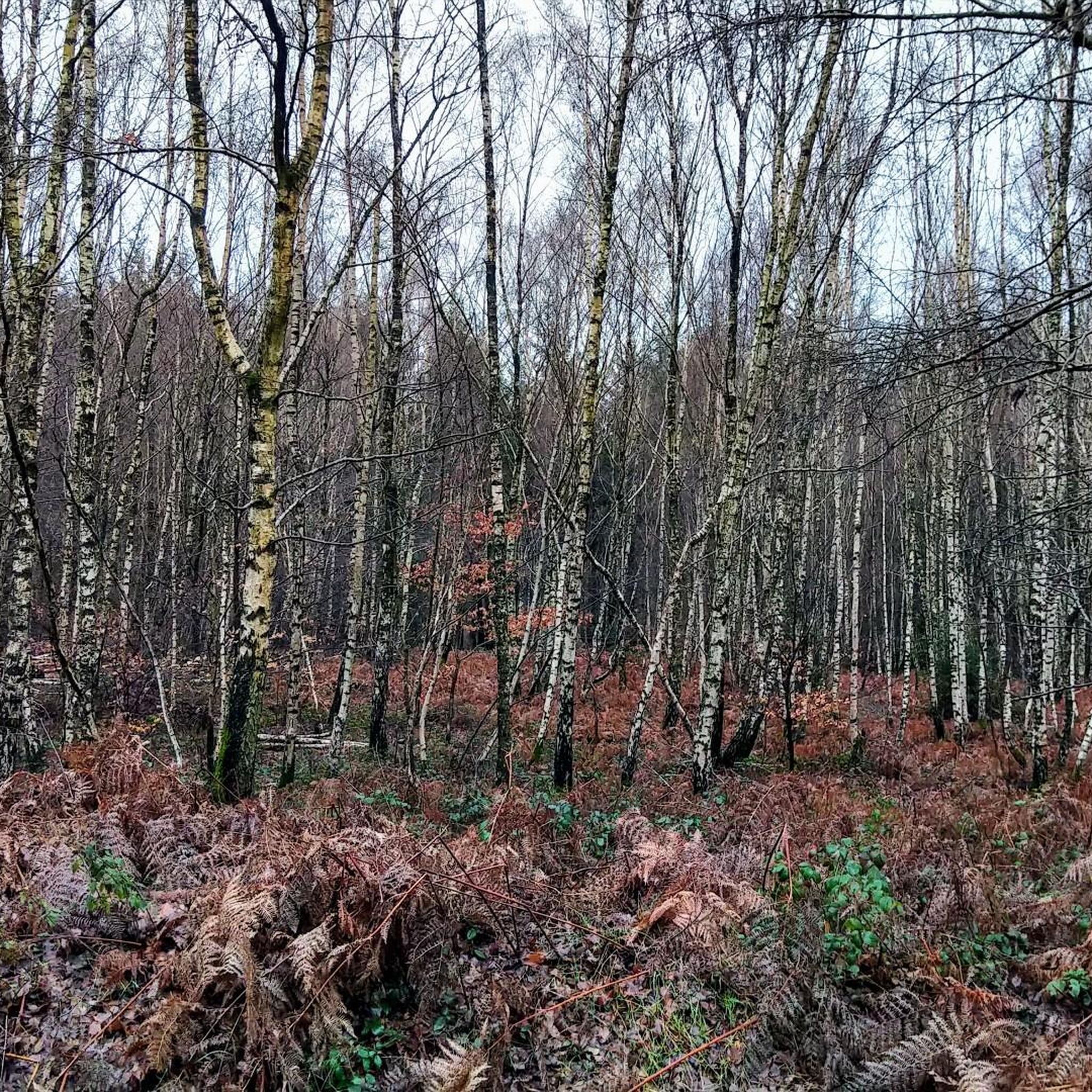
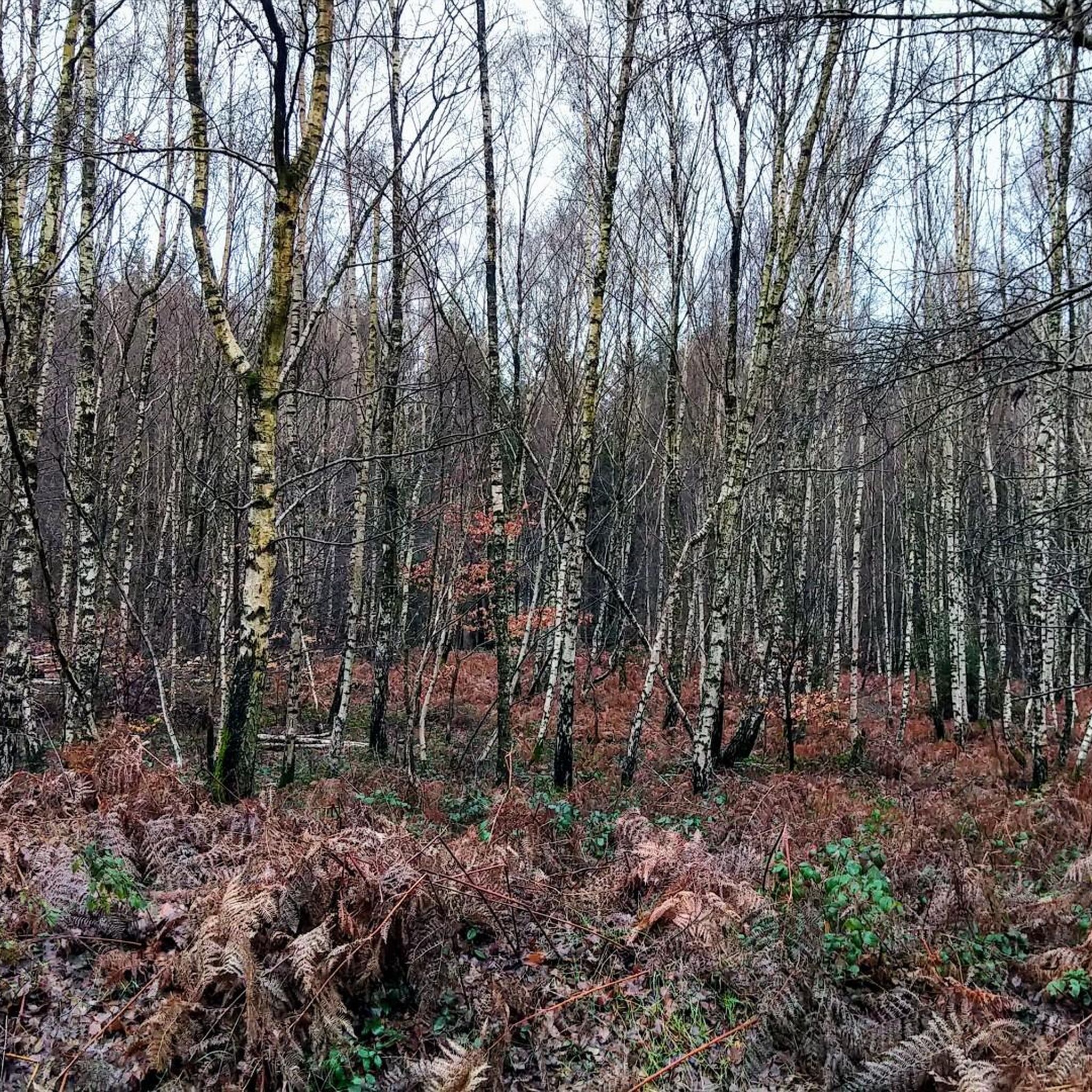
A village of character located in the heart of the forest, which offers a pleasant and exotic stopover on several tours crossing the Compiègne forest.
0
0
Frequently Asked Questions
What is the general difficulty level of gravel bike trails in Taillefontaine?
The gravel bike trails in Taillefontaine offer a range of difficulties. You'll find routes suitable for various skill levels, from easy paths to moderate challenges. For example, the Étang Saint-Pierre – Étang de l'Étot loop from Forêt domaniale de Compiègne is rated as easy, while most other routes are moderate.
What kind of distances can I expect on gravel bike trails around Taillefontaine?
Gravel bike trails in Taillefontaine vary in length. You can find shorter routes, such as the Château d'Oigny-en-Valois – End of the Paved Road loop from Villers-Cotterêts which is about 11.6 miles (18.7 km), up to longer excursions like the View of the Town Hall – Soissons Town Hall loop from Attichy, which spans 32.8 miles (52.9 km).
Are there any beginner-friendly gravel bike routes in Taillefontaine?
Yes, there are beginner-friendly options. The Étang Saint-Pierre – Étang de l'Étot loop from Forêt domaniale de Compiègne is an easy route, perfect for those new to gravel biking or looking for a more relaxed ride. It covers about 12 miles (19.4 km) with moderate elevation.
What are the typical elevation gains on gravel bike trails in Taillefontaine?
The elevation gains on gravel bike trails in Taillefontaine are generally moderate. For instance, the Saint Sulpice Church – Audignicourt Church loop from Attichy has an elevation gain of around 316 meters (1,037 ft), while the Château de Noue – ruins loop from Pisseleux features about 253 meters (830 ft) of ascent.
Are the gravel bike routes in Taillefontaine typically circular?
Yes, many of the gravel bike routes in Taillefontaine are designed as loops, offering convenient starting and ending points. Examples include the View of the Town Hall – Soissons Town Hall loop from Attichy and the Saint Sulpice Church – Audignicourt Church loop from Attichy.
What can I see along the gravel bike trails in Taillefontaine?
The trails often pass through dense woodlands and alongside tranquil ponds. You can also explore historical landmarks. Notable attractions in the wider region include the impressive Pierrefonds Castle and the historic Cité Internationale de la Langue Française – Château de Villers-Cotterêts.
Are there any historical châteaux or ruins to explore on these routes?
Absolutely. The region is rich in history, and some gravel routes specifically highlight these features. For example, the Château de Noue – ruins loop from Pisseleux leads directly through historical château grounds and ruins. Other castles in the vicinity include Vic-sur-Aisne Castle and The Château de Berneuil.
When is the best time of year to go gravel biking in Taillefontaine?
Given the region's characteristics of dense woodlands and rolling terrain, spring and autumn generally offer the most pleasant conditions for gravel biking. The temperatures are mild, and the natural scenery is particularly vibrant or colorful. Summer can also be enjoyable, though it might be warmer.
What do other gravel bikers enjoy most about gravel biking in Taillefontaine?
The komoot community highly rates the gravel biking experience in Taillefontaine, with an average score of 4.75 stars. Reviewers often praise the diverse landscape, which combines dense woodlands, historical landmarks, and serene ponds, offering a blend of natural beauty and cultural points of interest.
Are there any routes that connect historical churches?
Yes, for those interested in local heritage, the Saint Sulpice Church – Audignicourt Church loop from Attichy is a moderate trail that specifically connects historical churches, providing a journey through the countryside and local history.
How many gravel bike trails are available in the Taillefontaine area?
There are at least 5 distinct gravel bike trails documented in the Taillefontaine area, offering a variety of experiences for cyclists. These include routes of varying lengths and difficulty levels.
Most popular attractions around Taillefontaine

Get inspired with the komoot mobile app


Explore more
Browse the best Gravel rides in other regions.
