The best gravel rides around Ungersheim
4.5
(30)
358
riders
54
rides
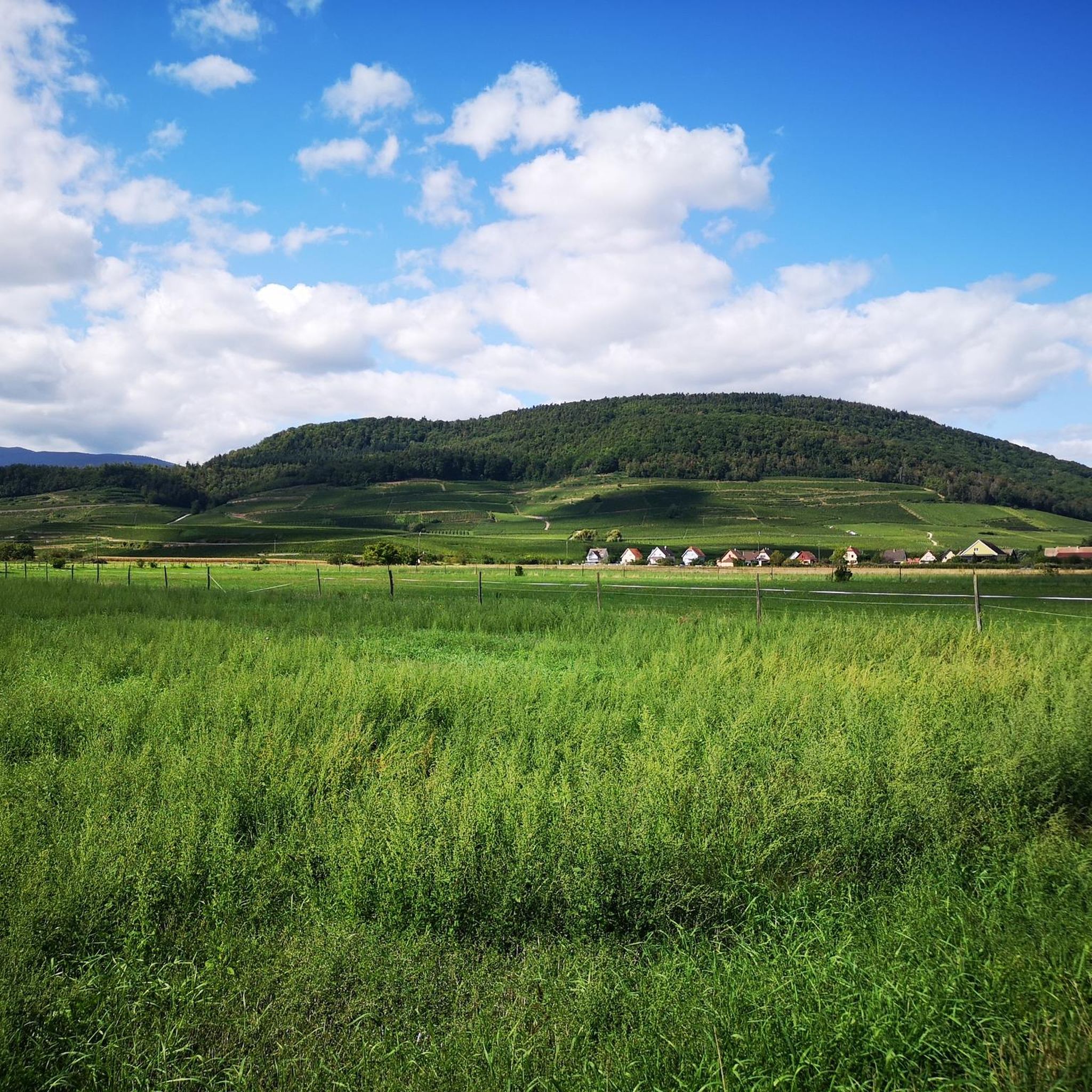
Gravel biking around Ungersheim offers diverse landscapes, from quiet country roads and forest trails to white roads and grassy paths across fields. The region is characterized by undulating countryside, featuring meadows, agricultural land, and forests, particularly along the Thur River. Nearby, the Vosges mountains provide a scenic backdrop and contribute to the area's varied terrain, including rolling hills and vineyards. This blend of natural features creates a dynamic environment for gravel riders.
Best gravel bike trails around Ungersheim
- The most…
Last updated: May 22, 2026
12
riders
57.9km
03:47
50m
50m
Moderate gravel ride. Good fitness required. Mostly paved surfaces. Suitable for all skill levels.
4.5
(4)
11
riders
Moderate gravel ride. Good fitness required. Mostly paved surfaces. Suitable for all skill levels.

Sign up for free
5.0
(2)
13
riders
37.3km
03:06
1,140m
1,140m
Hard gravel ride. Very good fitness required. Mostly paved surfaces. Suitable for all skill levels.
4
riders
45.2km
03:39
1,130m
1,130m
Hard gravel ride. Very good fitness required. Mostly paved surfaces. Suitable for all skill levels.
5
riders
63.6km
05:05
1,230m
1,230m
Hard gravel ride. Very good fitness required. Mostly paved surfaces. Suitable for all skill levels.
Get access to more routes and recommendations from other explorers.
Sign up for free
Already have an account?
Our route recommendations are based on thousands of hikes, rides, and runs completed by other people on komoot.
Start today with a free account
Your next adventure awaits.
Login or Signup
Tips from the Community

Great ascent route, away from the main roads, lots of forest = shade, moderate, steady climb between 6-9.5%, asphalt, few but great views
0
0

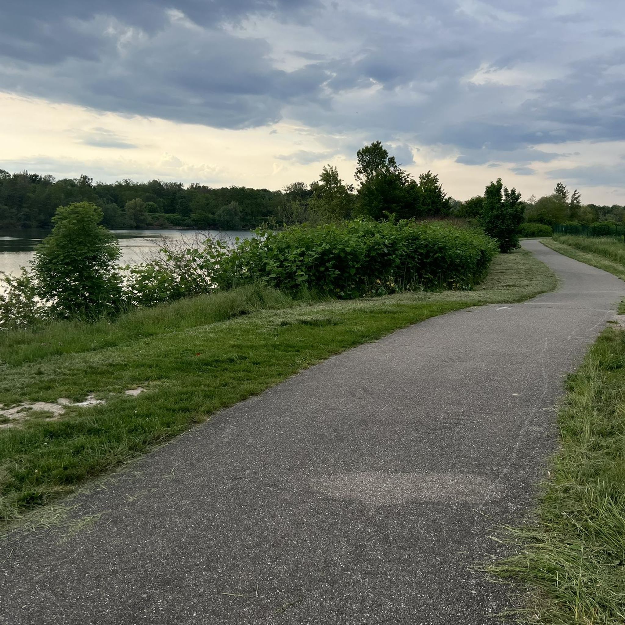
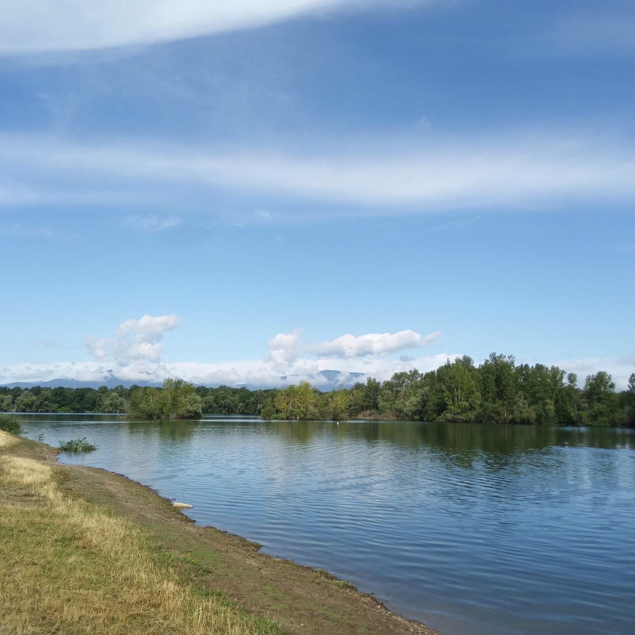
Beautiful view of the river Ill in Sundhoffen.
0
0


The Château du Herrenfluh is a medieval ruin at an altitude of 858 metres. It was built in 1312 by Johan von Sankt Amarin, nicknamed Nordwind, and served as a lookout post for the princes-abbatons of Murbach. Due to its strategic location, the castle offered a panoramic view over Alsace, all the way to the foothills of the Jura. In 1376, it was captured by English mercenaries and later, in 1468, destroyed by the Swiss. During the First World War, the site was again used as a French observation post. Today, some ruins are still visible, and volunteers are working to preserve the remains. It is an interesting historical site along the Route des Crêtes.
7
0

Nice part of the climb with most of the scenic views, but also among the busiest on the street. In the last meters towards the peak, you will find an annoying accumulation of insects bothering you! Probably more lucky in fall or winter!
0
0
The climb of the Col Amic from Soultz-Haut-Rhin is a beautiful and accessible climb in the Vosges, ideal for cyclists who love regularity and nature. The climb is 12.1 km long, bridges 559 meters of altitude and has an average gradient of 4.6%. The route winds through a quiet, wooded area and offers beautiful views of the Alsatian plain along the way. The summit is at 829 meters and forms a junction towards the Grand Ballon or the Hartmannswillerkopf massif. Thanks to its even profile, this climb is suitable for both recreational cyclists and athletic climbers.
6
0
Here you have a view of the farm-inn and a beautiful view over the Alsace plain.
5
0
Frequently Asked Questions
How many gravel bike trails are available around Ungersheim?
There are over 85 gravel bike trails around Ungersheim, offering a wide variety of routes for different skill levels and preferences. You'll find everything from easy rides to challenging excursions.
What kind of terrain can I expect on gravel bike trails near Ungersheim?
The Ungersheim region offers diverse terrain for gravel biking. You can expect a mix of quiet country roads, dedicated bike paths, forest trails, white roads, and grassy paths across fields. The landscape features undulating countryside with meadows, fields, forests, and picturesque vineyards, especially in areas like the Sundgau and Guebwiller.
Are there any easy gravel bike routes suitable for beginners or families?
Yes, Ungersheim offers several easier gravel routes. There are 9 routes classified as easy, and 40 moderate routes that might also be suitable depending on experience. These routes often feature minimal elevation gain and traverse through pleasant agricultural lands and forests, providing a gentle introduction to gravel biking in the region.
What are some challenging gravel bike trails for experienced riders?
For experienced riders seeking a challenge, Ungersheim has 36 difficult gravel routes. One notable option is the Eguisheim Village – Panoramic view from the vineyards loop from Raedersheim, which is 90.4 km long and includes significant elevation gain, offering panoramic views over vineyards. Another demanding route is the Panoramic view from the vineyards – Eguisheim Village Center loop from Merxheim, stretching over 127 km.
What historical landmarks or viewpoints can I see along the gravel trails?
Many gravel routes in the Ungersheim area pass by significant historical sites and offer stunning viewpoints. You might encounter the Hartmannswillerkopf National Monument, a poignant World War I site, or enjoy the views from the Viewpoint at the summit of Vieil Armand. Some trails also lead past historic structures like the Château du Hugstein or offer glimpses of the charming Rouffach Old Town.
Are there any gravel routes that follow rivers or feature water elements?
Yes, some routes incorporate riverine landscapes. For instance, the Along the Ill – Abandoned Railway Bridge loop from Ensisheim follows the Ill River, offering a different scenic experience. Another option is the Along the Thur River – Beautiful blue metal bridge loop from Ensisheim, which traces the Thur River.
What do other gravel bikers say about the trails in Ungersheim?
The gravel biking trails around Ungersheim are highly regarded by the komoot community, with an average rating of 4.5 stars from over 30 reviews. Many riders praise the diverse landscapes, from quiet country roads and forest trails to the picturesque vineyards and traditional Alsatian villages, making for a dynamic and engaging experience.
Are there any circular gravel bike routes around Ungersheim?
Yes, many of the gravel bike trails around Ungersheim are designed as loops, allowing you to start and end at the same point. Examples include the Bollenberg chapel – Gueberschwihr loop from Raedersheim, which navigates through rolling hills and vineyards, and the Eguisheim Village – Panoramic view from the vineyards loop from Raedersheim.
What are the best times of year for gravel biking in Ungersheim?
The region is generally suitable for gravel biking throughout much of the year. Spring and autumn offer pleasant temperatures and vibrant scenery, with blooming fields or colorful foliage. Summer is also great, though it can be warmer, while winter conditions might include colder temperatures or occasional snow, especially at higher elevations in the nearby Vosges mountains.
Are there any attractions near Ungersheim that combine culture with nature, accessible by bike?
Absolutely. The Écomusée d'Alsace, France's largest open-air museum, is located in Ungersheim. It's a village set amidst nature, showcasing 19th-century rural Alsatian life and featuring nature trails that wind through fields and woods, highlighting local biodiversity. It's a perfect spot to combine cultural immersion with a natural setting, and easily reachable by bike.
Is it possible to find cafes or pubs near the gravel biking routes in Ungersheim?
Many gravel routes in the Ungersheim area pass through or near traditional Alsatian villages. These villages often have local cafes, bakeries, or small restaurants where you can stop for refreshments and experience local hospitality. Planning your route with komoot can help you identify such spots along your chosen path.
Most popular routes around Ungersheim
Most popular attractions around Ungersheim

Get inspired with the komoot mobile app


Explore more
Browse the best Gravel rides in other regions.
