The best gravel rides around Bantigny
5.0
(7)
63
riders
31
rides
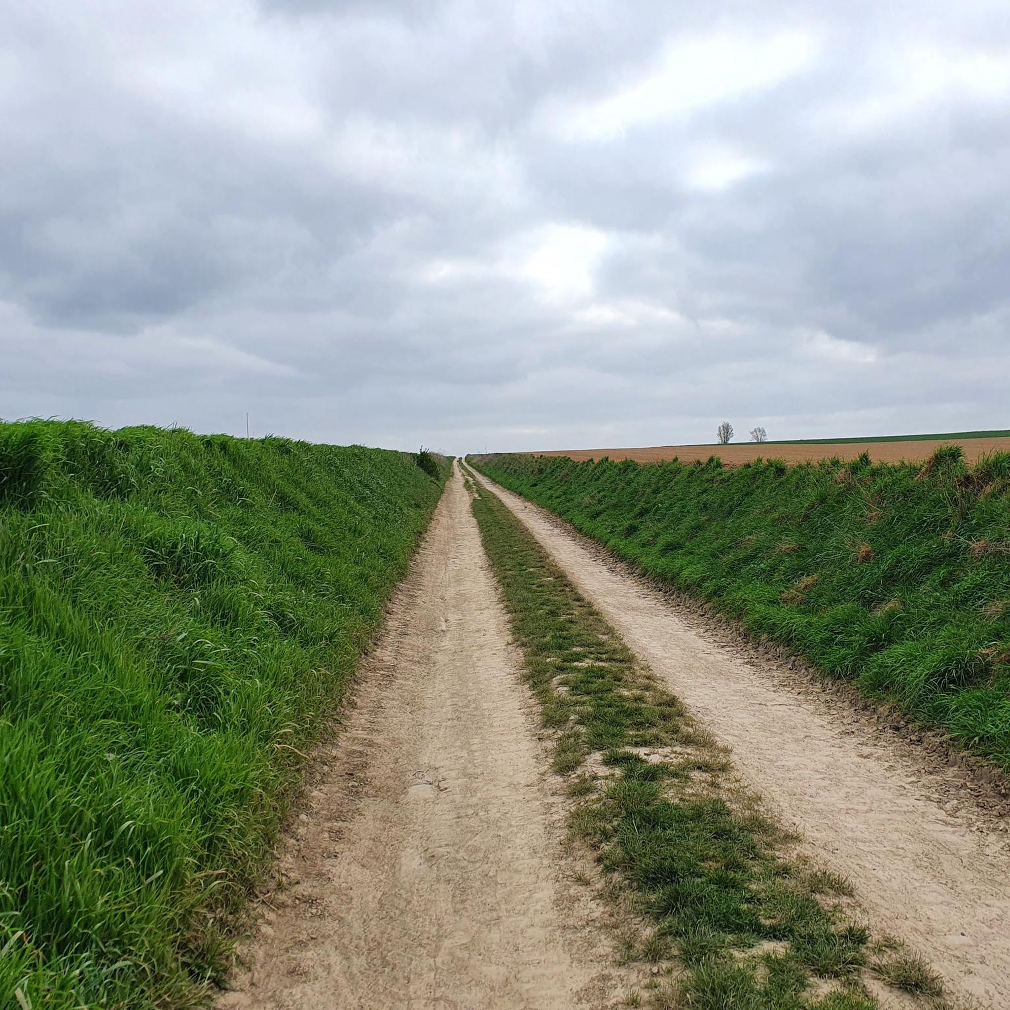
Gravel biking around Bantigny offers routes through a landscape characterized by agricultural fields, quiet country lanes, and paths alongside local waterways. The terrain is generally flat with gentle undulations, making it accessible for various skill levels. This region provides a network of trails suitable for exploring the rural environment on a gravel bike.
Best gravel bike trails around Bantigny
- The most popular gravel bike trail is Escluse proville – The Round Basin loop from Proville, a 25.7 miles (41.4…
Last updated: July 30, 2026
15
riders
50.3km
02:47
130m
130m
Moderate gravel ride. Good fitness required. Mostly paved surfaces. Suitable for all skill levels.
5.0
(1)
10
riders
61.6km
04:03
290m
290m
Moderate gravel ride. Good fitness required. Mostly paved surfaces. Suitable for all skill levels.

Sign up for free
5.0
(3)
13
riders
46.6km
02:23
140m
140m
Moderate gravel ride. Good fitness required. Mostly paved surfaces. Suitable for all skill levels.
9
riders
58.0km
03:47
280m
280m
Moderate gravel ride. Good fitness required. Mostly paved surfaces. Suitable for all skill levels.
5.0
(1)
7
riders
62.3km
04:06
250m
250m
Moderate gravel ride. Good fitness required. Mostly paved surfaces. Suitable for all skill levels.
Get access to more routes and recommendations from other explorers.
Sign up for free
Already have an account?
Our route recommendations are based on thousands of hikes, rides, and runs completed by other people on komoot.
Start today with a free account
Your next adventure awaits.
Login or Signup


Tips from the Community


Exactly Phifou Barzo, this place offers a green setting, with walking paths for pedestrians and cyclists 😎.
0
0

Peaceful place... a place to stroll with the sound of the water flowing... superb 😍
2
0
The menhir is located in the marsh of Aubigny-au-Bac, on a footpath leading to Brunémont. It is a block of Landenian sandstone 2.90 m high (including 1.48 m above ground) by 2.15 m wide and 0.70 m thick. It is said to have been sunk to about 2.40 m. Shaped like a horse's head, it is associated with a prehistoric megalith despite the absence of evidence.
0
0


Magnificent setting for running and doing a bit of elevation gain!
0
0

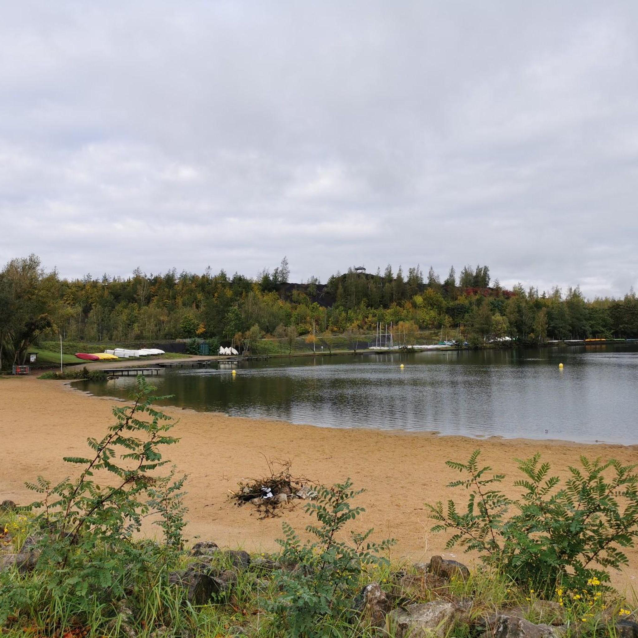
Nature, cycling, walking and water fun at the Les Argalles mining site.
0
0

The Thun Leveque lock is a double lock located on the Scheldt canal, between the municipalities of Thun-l'Évêque and Iwuy, in the Nord department. It allows boats to overcome a difference in height of 2.5 meters between the two reaches of the canal. It is part of a series of five double locks which were built between 1825 and 1830 to improve navigation on the canalized Scheldt1. The Thun Leveque lock has been classified as a historic monument since 19922. It is surrounded by a landscaped park which dates from the 19th century and which belongs to the domain of the Château de Hamel, an 18th century residence which is also protected as architectural heritage3. The Thun Leveque lock is a place of passage and discovery for boaters, cyclists and hikers who use the Scheldt canal or the greenway which runs along it.
2
0
Frequently Asked Questions
How many gravel bike trails are available around Bantigny?
There are over 30 gravel bike routes available around Bantigny on komoot, catering to various skill levels. You'll find options ranging from easy rides to more challenging adventures.
Are there easy gravel bike trails suitable for beginners in Bantigny?
Yes, Bantigny offers several easy gravel bike trails perfect for beginners. The terrain is generally flat with gentle undulations, making it accessible. There are 4 easy routes available, such as the Escluse proville – The Round Basin loop from Proville, which is a moderate 25.7-mile (41.4 km) ride.
Are there challenging gravel bike routes for experienced riders in Bantigny?
For experienced riders seeking a challenge, Bantigny has 4 difficult gravel bike routes. One notable option is the Scarpe towpath – Étang des Argales loop from Iwuy, a substantial 55.8-mile (89.7 km) trail that takes about 6 hours to complete.
What is the typical length of gravel bike trails around Bantigny?
The gravel bike trails around Bantigny vary in length. You can find shorter routes like the Chemin Noir de Proville – Cantaing-sur-Escaut Lock loop from Cambrai at 24.2 miles (39 km), up to longer excursions such as the Scarpe towpath – Étang des Argales loop from Iwuy, which is 55.8 miles (89.7 km).
When is the best time of year to go gravel biking in Bantigny?
The best time for gravel biking in Bantigny is typically during spring and autumn when the weather is mild and the agricultural paths are less likely to be muddy or dusty. Summer can also be pleasant, though some open sections might be exposed to sun.
What are the conditions like for gravel biking in Bantigny during winter?
During winter, gravel biking in Bantigny can be challenging. The agricultural fields and paths alongside waterways can become muddy and wet. It's advisable to check local weather conditions and trail reports before heading out, and be prepared for colder temperatures.
Are there circular gravel bike routes available in Bantigny?
Yes, many of the gravel bike routes around Bantigny are circular, allowing you to start and end at the same point. Examples include the Argalles spoil tip and pond. – Étang des Argales loop from Émerchicourt and the Passerelle d'Hem-Lenglet – Marais des Courbettes loop from Aubigny-au-Bac.
What can I see along the gravel bike trails around Bantigny?
The gravel bike trails in Bantigny offer views of agricultural fields, quiet country lanes, and paths alongside local waterways. You might also encounter historical sites like The Big Rock or architectural landmarks such as the Belfry of Cambrai and Porte Notre-Dame de Cambrai in nearby areas.
Can I find places to stop for refreshments or food along the gravel bike routes?
While specific pub stops aren't highlighted for every route, many gravel bike trails in Bantigny pass through or near small villages and towns. These often provide opportunities to find local bakeries, cafes, or small restaurants for refreshments and food.
What do other gravel bikers enjoy the most about gravel biking in Bantigny?
The gravel biking experience in Bantigny is highly rated by the komoot community, with an average score of 4.8 stars from more than 5 reviews. Riders often praise the quiet rural environment, the varied terrain around waterways and agricultural areas, and the accessibility for different skill levels.
Are there any hidden gem gravel bike trails near Bantigny?
While the most popular routes are well-known, exploring the network of agricultural paths and quiet country roads can reveal many less-traveled sections. The region's charm lies in its serene rural landscape, offering a sense of discovery on almost any path you choose.
Most popular attractions around Bantigny

Get inspired with the komoot mobile app


Explore more
Browse the best Gravel rides in other regions.
