The best gravel rides around Cuvillers
4.8
(13)
108
riders
26
rides
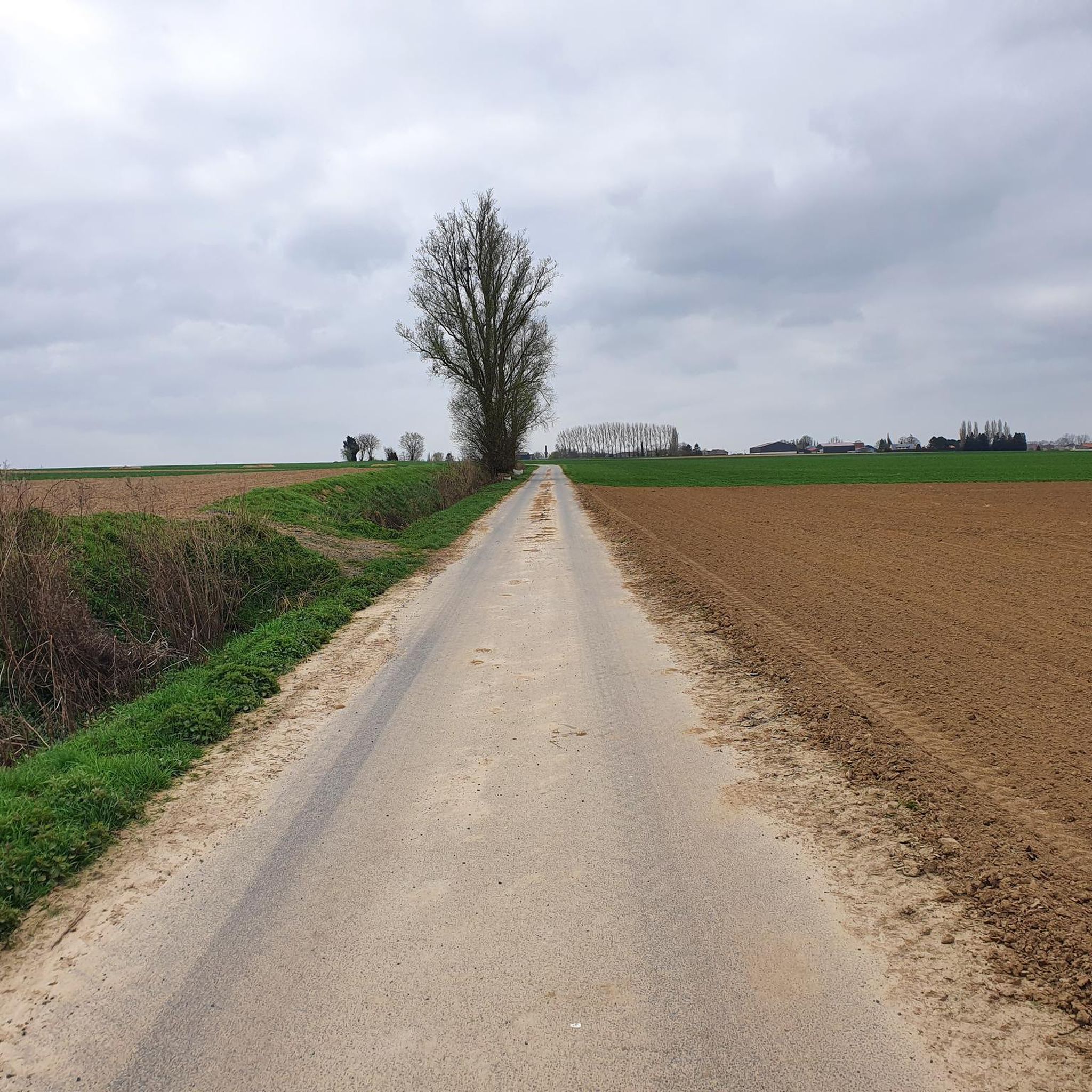
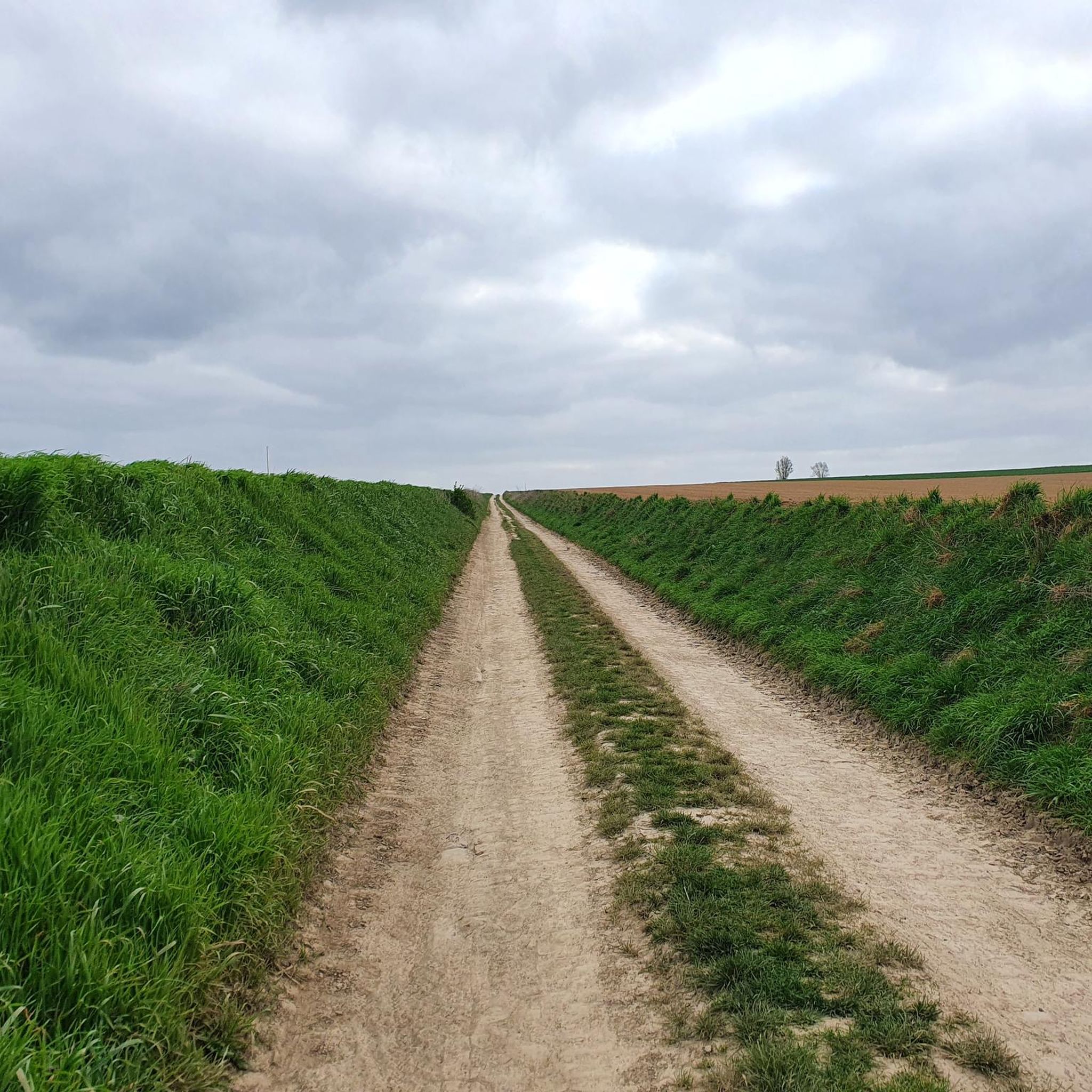
Gravel biking around Cuvillers offers routes through a predominantly agricultural landscape in the Nord department of northern France. The terrain is characterized by rolling arable land and a low elevation, ranging from 49 to 74 meters. This environment provides a network of quiet, unpaved farm roads and paths suitable for gravel biking. The commune's location allows for connections to broader regional cycling networks, including small roads and paths away from traffic.
Best gravel bike trails around Cuvillers
- The most popular…
Last updated: November 2, 2026
4.0
(2)
24
riders
44.0km
02:12
130m
130m
Moderate gravel ride. Good fitness required. Mostly paved surfaces.
5.0
(2)
16
riders
51.1km
02:35
140m
140m
Moderate gravel ride. Good fitness required. Mostly paved surfaces.

5.0
(2)
9
riders
39.0km
02:12
210m
210m
Moderate gravel ride. Good fitness required. Mostly paved surfaces.
5.0
(2)
16
riders
56.9km
02:47
140m
140m
Moderate gravel ride. Good fitness required. Mostly paved surfaces.
4.7
(3)
16
riders
30.8km
01:27
70m
70m
Easy gravel ride. Mostly paved surfaces.
Get access to more routes and recommendations from other explorers.
Already have an account?
Our route recommendations are based on thousands of hikes, rides, and runs completed by other people on komoot.
Start today with a free account
Your next adventure awaits.



Tips from the Community

Pleasant canal with a good number of locks.
0
0

For bikepacking trips, A magnificent base for cycle touring. It's a place steeped in history, peaceful, and surrounded by lush greenery. Don't miss the hamlet of Revelon or a visit to the source of the Scheldt River in Gouy (right next door). Happy riding! 🚴♀️ Franck
1
0
Exactly Phifou Barzo, this place offers a green setting, with walking paths for pedestrians and cyclists 😎.
0
0

Peaceful place... a place to stroll with the sound of the water flowing... superb 😍
2
0
Memorial to Lieutenant Harcus Strachan who commanded the squadron and was awarded the Victoria Cross.
3
0

Some very beautiful remains to discover during a hike 😉.
1
0
This watering trough is probably a distant legacy of the Cistercian monks of Vaucelles. Nestled in the pastures surrounding the farm, it is fed by the nearby fountain, which filters the water and is itself fed by water from the Saint-Bernard spring, via an aqueduct. Hence the name of the bicycle trail "des sources" 😎.
3
0

Frequently Asked Questions
What kind of terrain can I expect on gravel bike trails around Cuvillers?
The gravel bike trails around Cuvillers primarily feature rolling agricultural terrain, with a network of quiet, unpaved farm roads and paths. The area has a low elevation, ranging from 49 to 74 meters, making routes generally accessible. You'll experience open countryside typical of the Nord department in northern France.
How many gravel bike routes are available in the Cuvillers area?
There are over 30 gravel bike routes available around Cuvillers, catering to various skill levels. This includes 3 easy routes, 26 moderate routes, and 4 more challenging options.
Are there any family-friendly gravel bike trails near Cuvillers?
Yes, many of the routes around Cuvillers are suitable for families due to the generally low elevation and accessible terrain. The area's quiet farm roads and paths offer a peaceful environment away from heavy traffic. Look for routes marked as 'easy' or 'moderate' for the most family-friendly options.
What is the best time of year for gravel biking in Cuvillers?
The best time for gravel biking in Cuvillers is typically during spring and autumn when the weather is mild and the agricultural landscape is vibrant. Summer can also be pleasant, though it's wise to start earlier in the day to avoid the midday heat. Winter rides are possible, but conditions may be muddy on unpaved sections.
Are there any circular gravel bike routes in the Cuvillers region?
Yes, many of the gravel bike routes in the Cuvillers area are designed as loops. For example, the Passerelle d'Hem-Lenglet – Marais des Courbettes loop from Aubigny-au-Bac offers a moderate 62 km ride through varied landscapes.
What are the difficulty levels of gravel biking routes around Cuvillers?
Gravel biking routes around Cuvillers range from easy to difficult. You'll find 3 easy routes, 26 moderate routes, and 4 difficult routes, ensuring options for beginners as well as more experienced riders looking for a challenge.
What do other gravel bikers enjoy most about the Cuvillers area?
The Cuvillers area is highly rated by the komoot community, with an average score of 4.8 stars from over 5 reviews. Riders often praise the tranquil, rural character, the extensive network of unpaved farm roads, and the opportunity to explore the peaceful French countryside away from urban bustle.
Are there any interesting landmarks or attractions to see while gravel biking near Cuvillers?
While Cuvillers itself is quite rural, its proximity to Cambrai offers access to historical sites. You could explore landmarks like the Belfry of Cambrai or the Porte Notre-Dame de Cambrai. The Argalles spoil tip and pond loop from Émerchicourt also offers varied terrain including a pond.
Where can I find accommodation or places to eat near Cuvillers?
Cuvillers is a small commune, so for a wider selection of accommodation, cafes, and restaurants, it's best to look in nearby larger towns such as Cambrai, which is just over 5 kilometers away. These towns offer more amenities for visitors.
Is it possible to connect to broader cycling networks from Cuvillers?
Yes, Cuvillers' location within the Hauts-de-France region allows for connections to broader cycling networks. The wider region features closed forest roads, small roads, and various paths ideal for gravel biking, enabling you to extend your rides beyond the immediate commune.
Are there any gravel routes that pass through or near Cambrai?
Yes, some routes in the vicinity of Cuvillers connect to or pass near Cambrai. For instance, the Chemin Noir de Proville – Cantaing-sur-Escaut Lock loop from Cambrai is a moderate 39 km route that starts from Cambrai itself, offering a good option for exploring the area.
Most popular attractions around Cuvillers

Get inspired with the komoot mobile app


Explore more
Browse the best Gravel rides in other regions.
