The best gravel rides around Amélie-Les-Bains-Palalda
4.5
(10)
106
riders
22
rides
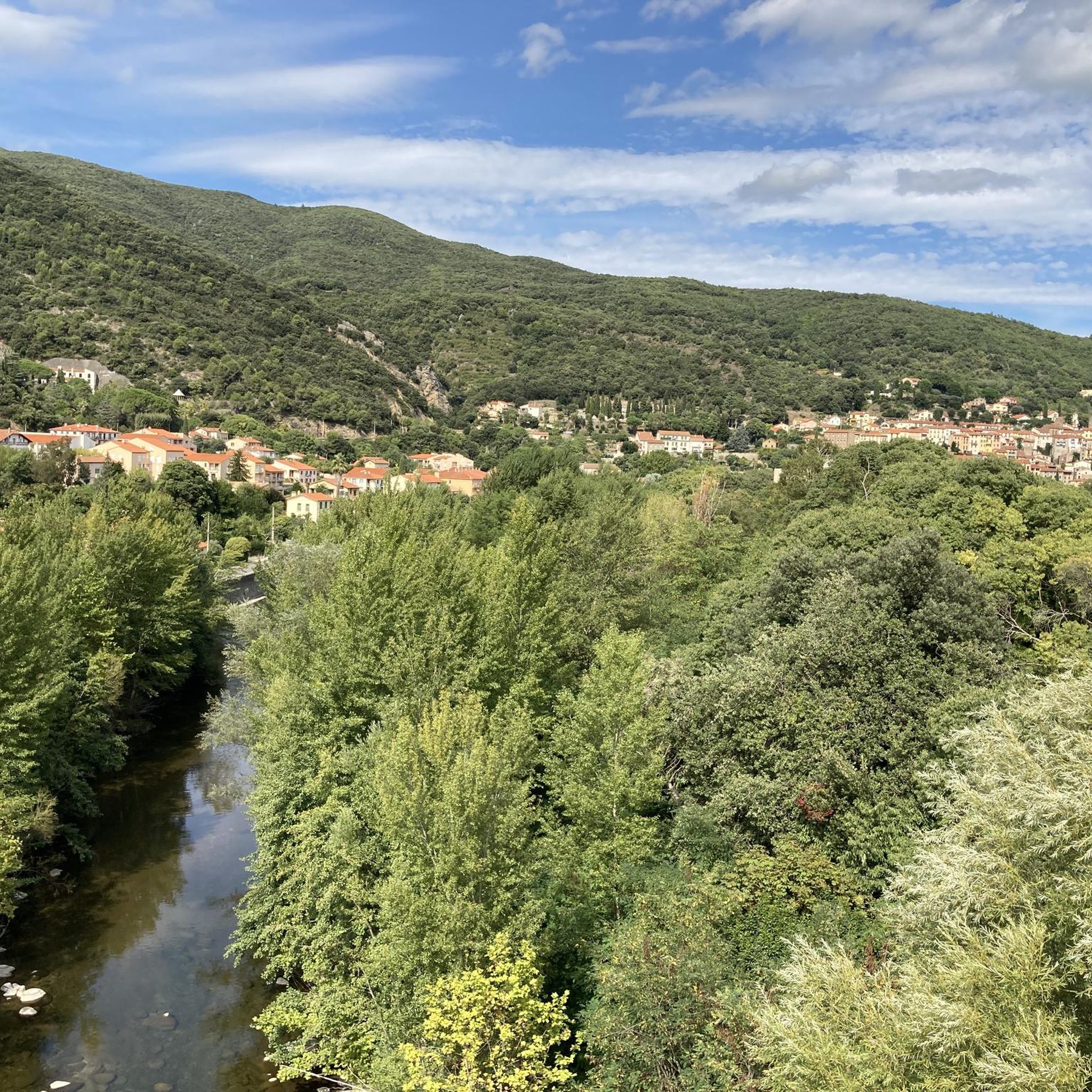
Gravel biking around Amélie-Les-Bains-Palalda offers varied terrain in the foothills of the Pyrenees. The region is characterized by river valleys, such as the Tech, and a mix of forested hills and open agricultural areas. Riders can expect routes that combine natural paths with sections near historical structures and reservoirs. The landscape provides a diverse environment for gravel biking, from rolling hills to more challenging ascents.
Best gravel bike trails around Amélie-Les-Bains-Palalda
- The most popular gravel bike trail is Darnius-Boadella Reservoir…
Last updated: May 22, 2026
4.3
(3)
18
riders
Hard gravel ride. Very good fitness required. Mostly paved surfaces. Suitable for all skill levels.
8
riders
Hard gravel ride. Very good fitness required. Mostly paved surfaces. Suitable for all skill levels.

Sign up for free
5
riders
20.8km
02:02
700m
700m
Hard gravel ride. Very good fitness required. Mostly paved surfaces. Suitable for all skill levels.
7
riders
47.8km
03:39
970m
970m
Hard gravel ride. Very good fitness required. Mostly paved surfaces. Suitable for all skill levels.
4.0
(1)
5
riders
Hard gravel ride. Very good fitness required. Mostly paved surfaces. Suitable for all skill levels.
Get access to more routes and recommendations from other explorers.
Sign up for free
Already have an account?
Our route recommendations are based on thousands of hikes, rides, and runs completed by other people on komoot.
Start today with a free account
Your next adventure awaits.
Login or Signup
Popular around Amélie-Les-Bains-Palalda

The Crossing of the Pyrenees via the GR 10 — Eastern Pyrenees

Haute Route Pyrénéenne – Pyrenees Crossing
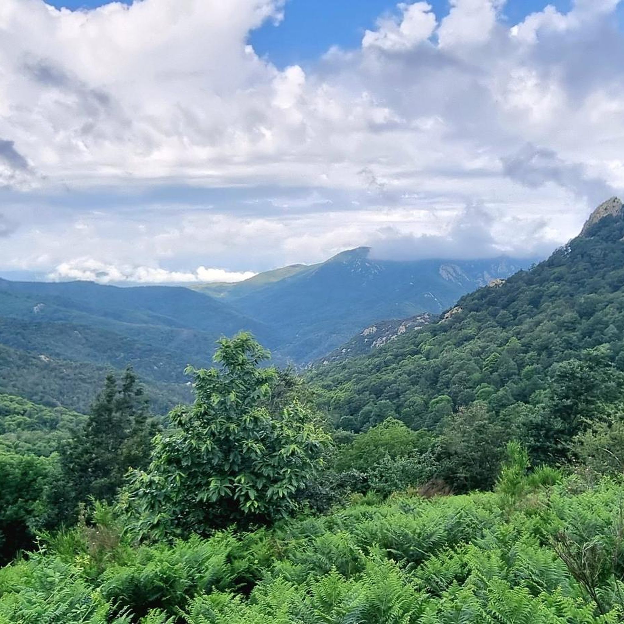
Hiking around Amélie-Les-Bains-Palalda
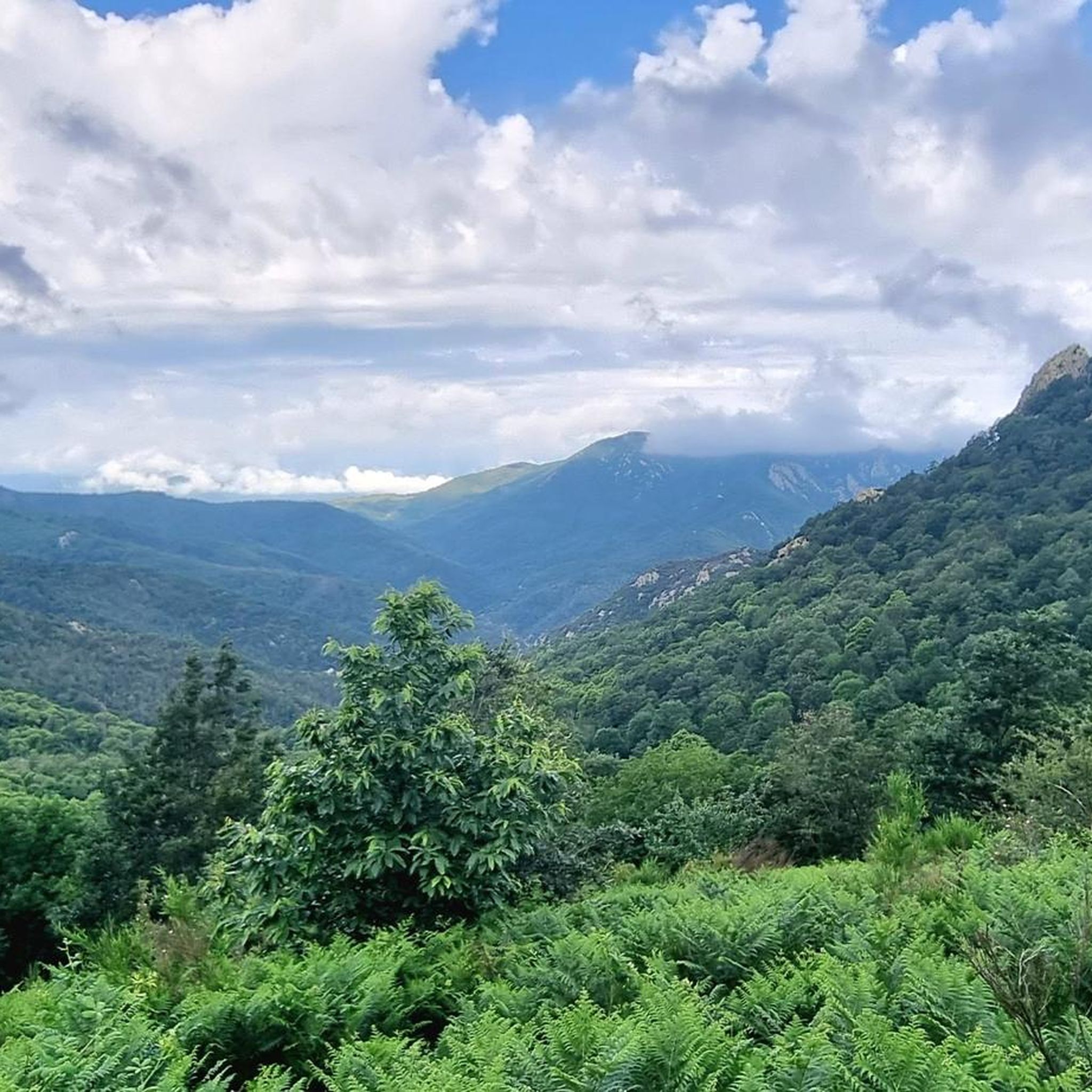
Road Cycling Routes around Amélie-Les-Bains-Palalda
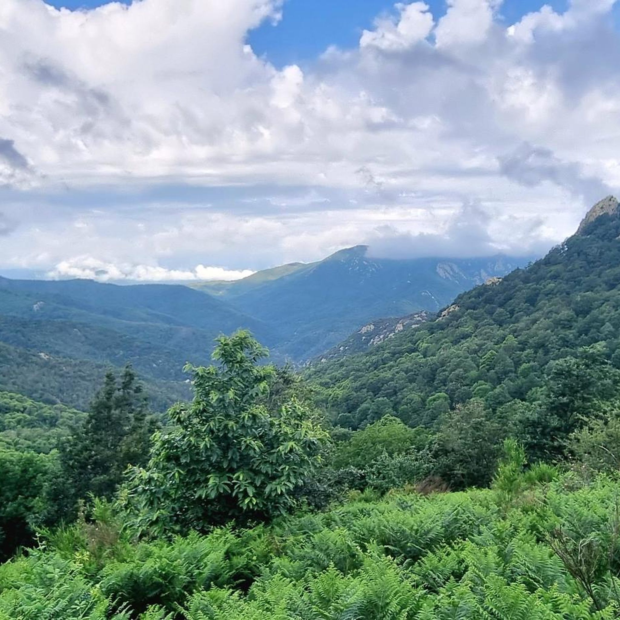
Cycling around Amélie-Les-Bains-Palalda
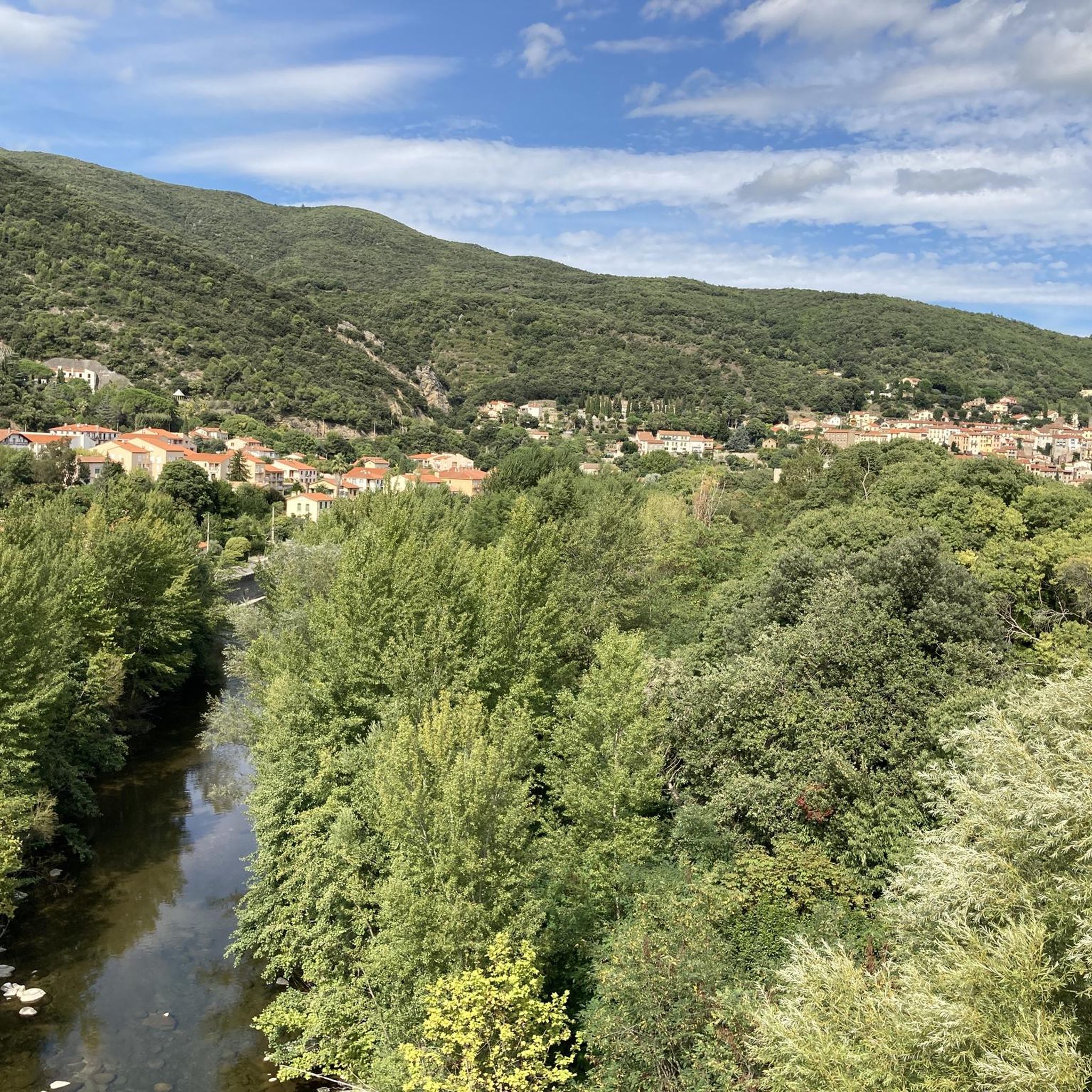
Running Trails around Amélie-Les-Bains-Palalda
MTB Trails around Amélie-Les-Bains-Palalda
Other adventures around Amélie-Les-Bains-Palalda


Tips from the Community

dynamic lighting in Catalan colors at night.
0
0

The linguistic proximity of the "Pont Eiffel", which spans the valley here, and the low mountain range "Eifel" in the far west of Germany is no coincidence: The family of the designer - whose world-famous Tower of Paris (named after its builder) is probably known to everyone - has German roots. The ancestors of the Eiffel Tower builder Gustave EIFFEL come from the Eifel town of Marmagen (in the Euskirchen district, North Rhine-Westphalia). The village square there - if you are interested, see the following hiking highlight https://www.komoot.com/de-de/highlight/1830307 - is named after him.
0
0

Old railway line along the Tech with a magnificent panorama of the Pyrenees.
1
1

The panel shows a graphic representation of the landscape seen from that point. It includes important geographical references, such as mountains, towns, rivers or coastal areas, allowing visitors to identify the locations they are seeing in the distance.
0
0
The Tech River between Palalda and Reynès flows through a picturesque landscape in the Vallespir, a mountainous area of the Pyrénées-Orientales. This stretch of the river is known for its serenity and natural setting, with green mountains and Mediterranean forests on both sides.
2
0

Very beautiful church. The first name Laurenz is common in my family.
3
0
Its exact source is in the heights of the Canigó Massif, which is known for being one of the most emblematic mountains in the region. Rain and mountain streams feed its course. It flows into the Tech, a major river that runs through the Vallespir. The Tech is one of the most important rivers in the area and ends up flowing into the Mediterranean Sea, near Argelès-sur-Mer.
8
0
The La Quera River originates in the mountains of the Eastern Pyrenees, flows through the Vallespir region and finally flows into the Tech River, which in turn ends in the Mediterranean. Although it is a small river, its flow is seasonal and variable, depending on rainfall and snowmelt. It is an essential river for the local ecosystem, providing life and resources to the towns it passes through.
7
0
Frequently Asked Questions
What is the general difficulty level of gravel bike trails around Amélie-Les-Bains-Palalda?
The gravel biking routes in this region offer a range of difficulties. While there is 1 easy route, the majority of the 36 available tours are more challenging, with 4 moderate and 31 difficult options. This indicates a landscape well-suited for experienced gravel bikers seeking varied terrain.
Are there any family-friendly or beginner gravel bike trails in the area?
Yes, for those new to gravel biking or looking for a more relaxed ride, there is 1 easy route available. This route provides a gentler introduction to the region's gravel paths, allowing families or beginners to enjoy the scenery without excessive challenge.
What kind of terrain can I expect on gravel bike trails near Amélie-Les-Bains-Palalda?
You can expect varied terrain in the foothills of the Pyrenees. The region is characterized by river valleys, such as the Tech, and a mix of forested hills and open agricultural areas. Routes often combine natural paths with sections near historical structures and reservoirs, offering a diverse environment from rolling hills to more challenging ascents.
What are some common starting points or trailheads for gravel biking in this region?
Many routes begin from towns and villages in the area. For instance, you'll find tours starting from Maçanet de Cabrenys, Saint-Jean-Pla-de-Corts, and Céret. These locations often provide convenient access to the diverse network of gravel paths.
Are there any circular gravel bike routes available?
Yes, many of the gravel bike trails in the region are designed as loops, allowing you to start and end in the same location. An example is the Reynès Iron Bridge – Le Tech loop from Céret, which offers a scenic circular journey.
What are some interesting natural attractions or viewpoints along the gravel bike trails?
The region offers several natural highlights. You can encounter waterfalls like the Cascade of the Gorges de la Fou or the Salt de Baoussous Waterfall. There are also impressive gorges such as the Mondony Gorges, and unique natural monuments like the Cork Oak Trees.
What do other gravel bikers enjoy most about the trails in Amélie-Les-Bains-Palalda?
The area is highly rated by the komoot community, with an average score of 4.5 stars from over 10 reviews. Riders often praise the varied terrain, which includes river valleys and forest paths, and the mix of natural beauty with historical sights like the Fort de Bellegarde.
What is the best time of year for gravel biking in Amélie-Les-Bains-Palalda?
Given its location in the foothills of the Pyrenees with a Mediterranean influence, spring and autumn generally offer the most pleasant conditions for gravel biking. Temperatures are milder, and the landscape is vibrant. Summers can be quite warm, while winters are typically mild but can have occasional rain.
Are there any longer, more challenging gravel bike routes for advanced riders?
Absolutely. For advanced riders seeking a challenge, routes like the Reynès Iron Bridge – Tech Greenway loop from Céret cover significant distances, up to 47.7 km (29.6 miles), and feature considerable elevation gains, providing a demanding and rewarding experience.
Can I bring my dog on the gravel bike trails?
While there are no specific 'dog-friendly' designations for these routes, many natural trails are suitable for well-behaved dogs on a leash. Always ensure your dog is fit enough for the distance and terrain, carry enough water for both of you, and respect local regulations regarding pets in natural areas.
How long do gravel bike trails typically take to complete in this region?
The duration varies significantly based on the route's length and difficulty, as well as your personal pace. For example, the Darnius-Boadella Reservoir loop, at 35.3 km (21.9 miles), typically takes around 2 hours 43 minutes, while longer routes can take considerably more time.
Most popular routes around Amélie-Les-Bains-Palalda
Most popular attractions around Amélie-Les-Bains-Palalda

Get inspired with the komoot mobile app


Explore more
Browse the best Gravel rides in other regions.
