The best gravel rides around Santa María La Real De Nieva
38
riders
3
rides
Gravel biking around Santa María La Real De Nieva offers a diverse landscape characterized by rural paths, agricultural fields, and areas with notable geological features like the Río Moros Cliff. The region presents varied terrain, including sections with gentle gradients and others with more significant elevation changes. These routes often traverse open countryside, providing a mix of surfaces suitable for gravel bikes.
Best gravel bike trails around Santa María La Real De Nieva
- The most popular gravel bike trail is Crossroads – Río Moros Cliff loop from Valverde del Majano, a 38.6 miles (62.1 km) trail that takes about 5 hours 29 minutes to complete. This difficult route features notable elevation gain and scenic views.
- Another top favourite among local gravel bikers is Fuente de Juarros de Riomoros – Juarros de Riomoros loop from Juarros de Riomoros, a difficult 32.9 miles (52.9 km) path. This route offers a challenging experience through varied rural landscapes.
- Local gravel bikers also love the Arco de la Fuencisla – Segovia Railway Station loop from Hontanares de Eresma, a 24.1 miles (38.8 km) trail leading through agricultural areas and past local landmarks, often completed in about 3 hours 21 minutes.
- Gravel biking around Santa María La Real De Nieva is defined by rural roads, agricultural landscapes, and occasional riverine features like the Río Moros Cliff. The network offers options for different ability levels, from moderate to difficult routes.
- The guide includes highly-rated routes that showcase the best of the region's landscape. More than 10 gravel bikers have used komoot to explore Santa María La Real De Nieva's varied terrain.
Last updated: November 2, 2026
13
riders
92.6km
06:31
350m
350m
Hard gravel ride. Very good fitness required. Mostly paved surfaces.
6
riders
Moderate gravel ride. Good fitness required. Mostly paved surfaces.

6
riders
22.9km
01:20
140m
140m
Easy gravel ride. Mostly paved surfaces.
1
riders
30.3km
02:26
200m
200m
Moderate gravel ride. Good fitness required. Mostly paved surfaces.
2
riders
62.1km
04:25
630m
630m
Hard gravel ride. Very good fitness required. You may need to push your bike for some segments of this route.
Our route recommendations are based on thousands of hikes, rides, and runs completed by other people on komoot.
Start today with a free account
Your next adventure awaits.
Popular around Santa María La Real De Nieva
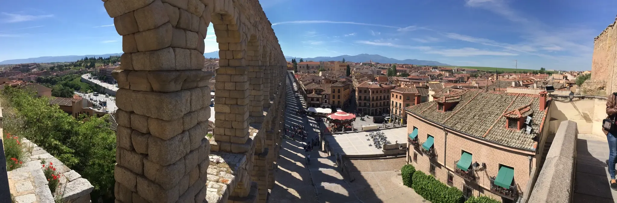
Riding through Spain’s Segovian countryside — Eresma Valley Greenway
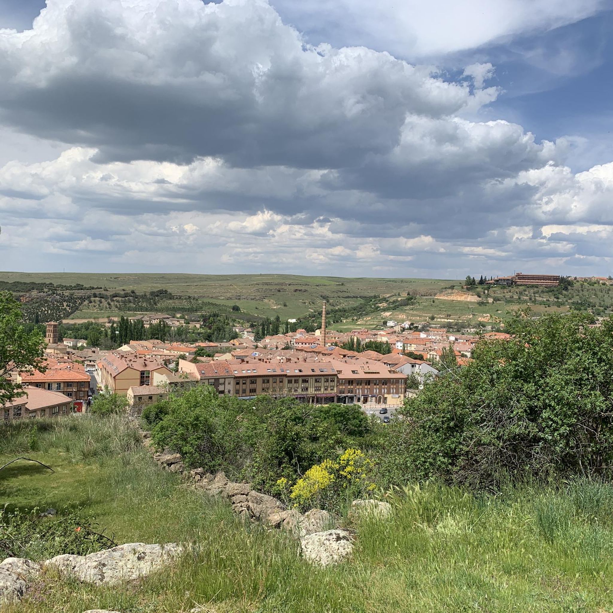
Hiking around Santa María La Real De Nieva
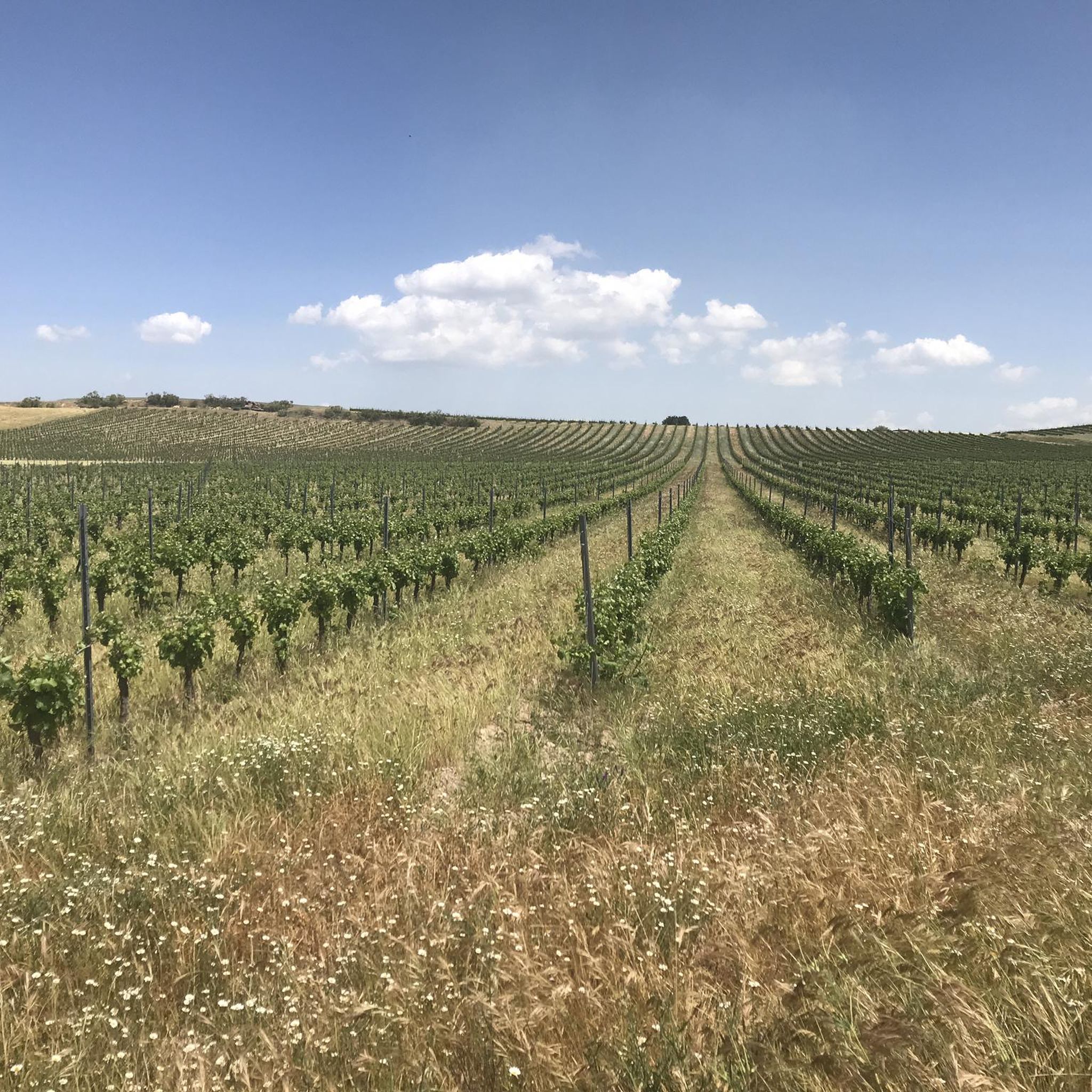
Road Cycling Routes around Santa María La Real De Nieva
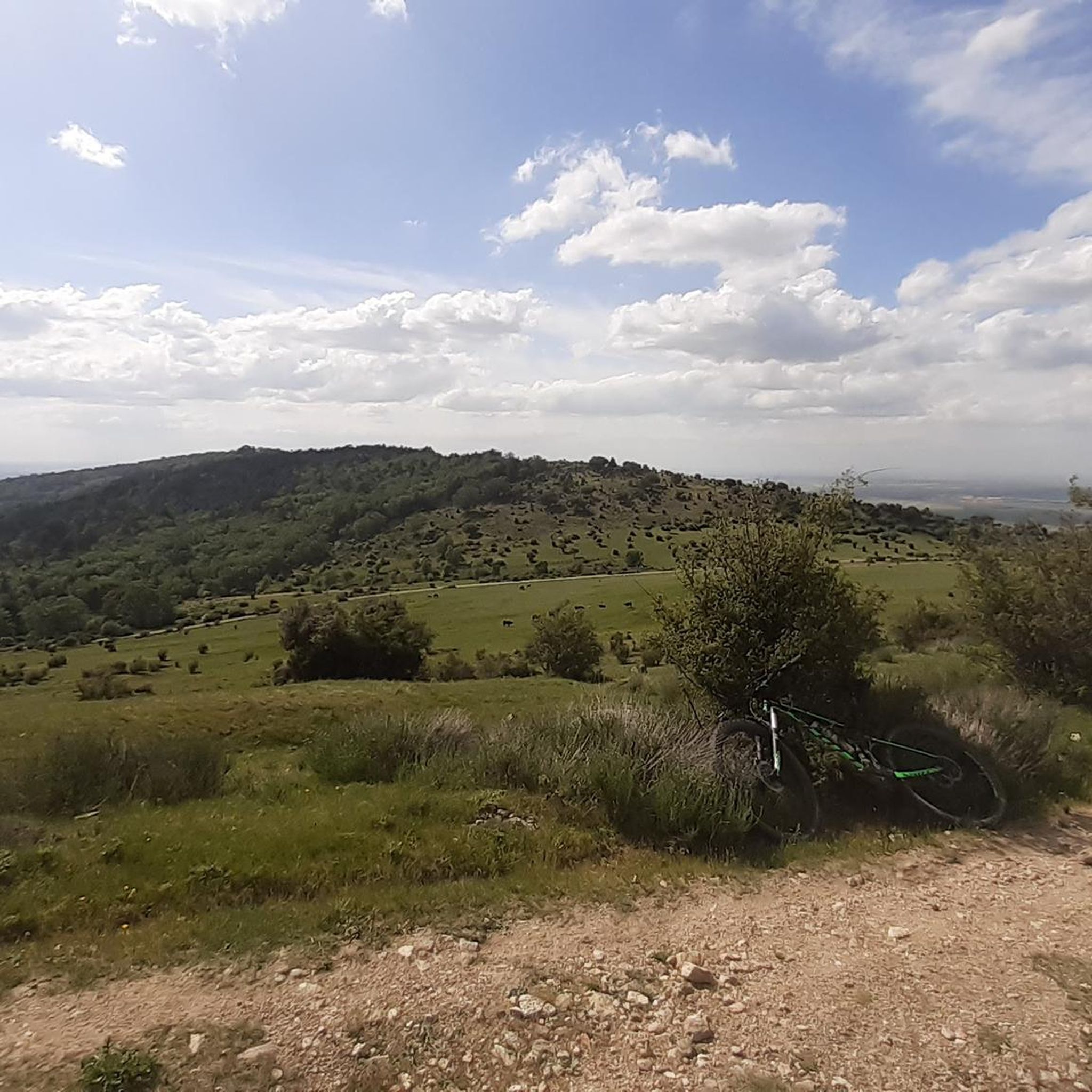
MTB Trails around Santa María La Real De Nieva
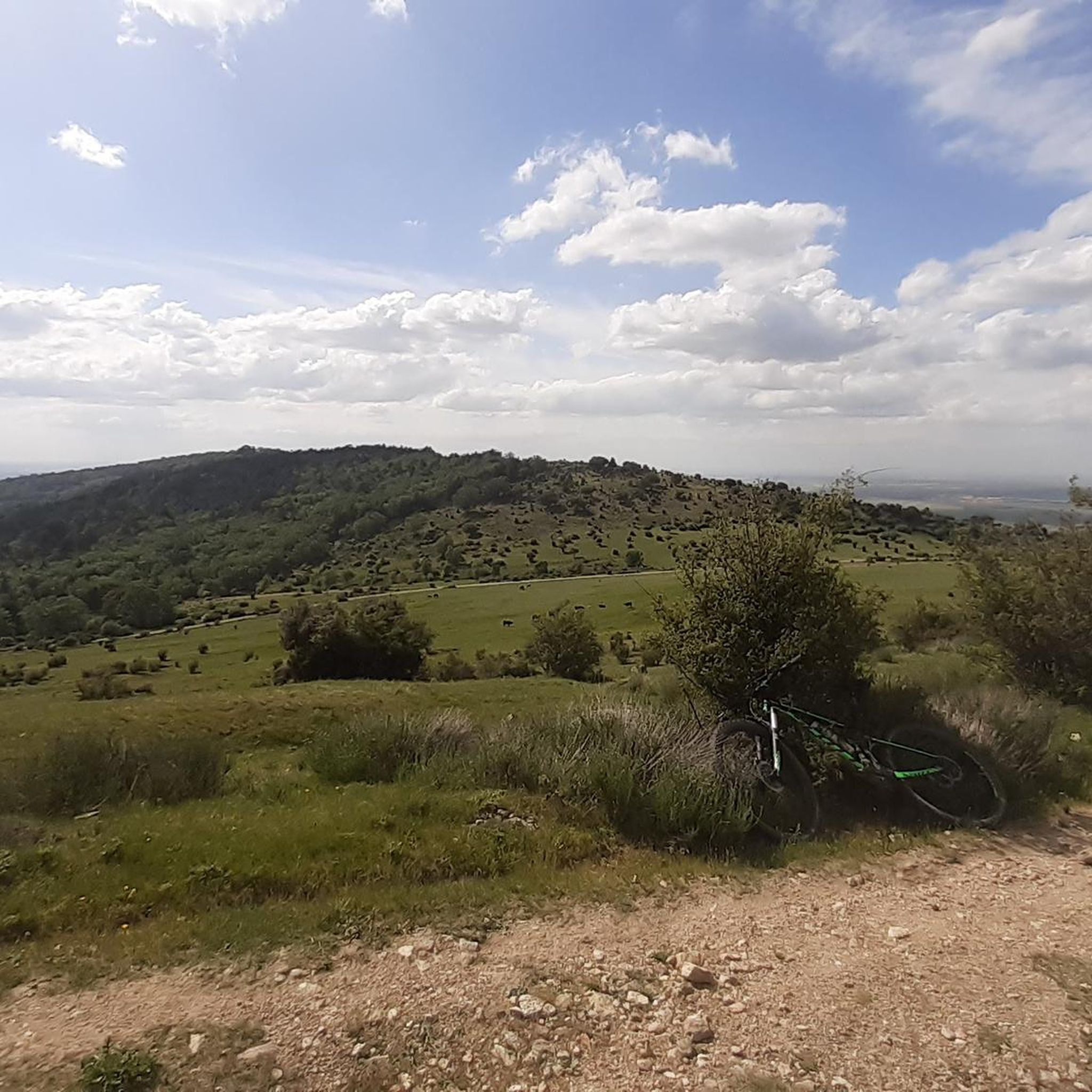
Running Trails around Santa María La Real De Nieva
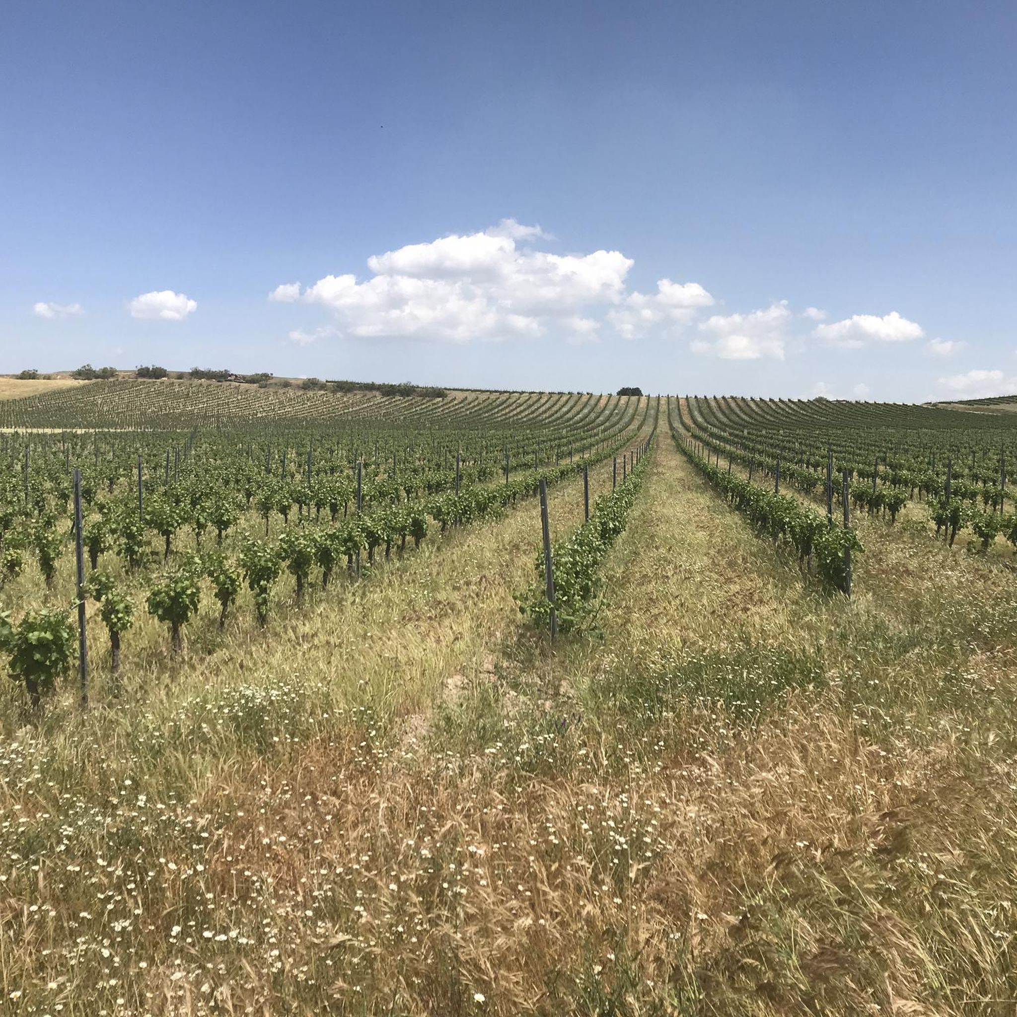
Cycling around Santa María La Real De Nieva
Other adventures around Santa María La Real De Nieva

Tips from the Community

The Cordel de Granados is part of the old livestock trails (vias pecuarias) that cross the province of Ávila and that are still used today as paths and natural tracks for walking, cycling or connecting different rural towns.
4
0

a very nice route to enjoy by bike
0
0

Good route to ride with friends
0
0

Very interesting... especially routes in autumn and spring when it rains so that the transit through the sands of the pine forests is not so complicated.
0
1

Old abandoned station
0
1

a small Refugio (shelter) for 2. they have a fireplace (una chimenea)
0
0
Hontanares de Eresma is a charming municipality and town in the province of Segovia, within the autonomous community of Castilla y León. Hontanares de Eresma is mentioned for the first time in 1247 as “Fontanares” and until the 19th century it was simply called “Hontanares”.
2
0

A tunnel crossing on the Greenway. Take out your flashlight.
1
0
Frequently Asked Questions
What types of gravel bike trails can I find around Santa María La Real De Nieva?
The region offers a diverse landscape for gravel biking, characterized by rural paths, agricultural fields, and areas with notable geological features like the Río Moros Cliff. You'll find a mix of surfaces suitable for gravel bikes, ranging from gentle gradients to sections with more significant elevation changes.
Are there gravel bike trails suitable for beginners in Santa María La Real De Nieva?
Yes, there are options for various skill levels. For those looking for an easier ride, the Beautiful Stretch of Road loop from Urb. Coto de Puenteviejo is an easy 11.7 miles (18.8 km) route with moderate elevation gain, perfect for getting started.
What are some challenging gravel bike routes for experienced riders?
Experienced riders can tackle routes like the Crossroads – Río Moros Cliff loop from Valverde del Majano, a difficult 38.6 miles (62.1 km) trail featuring significant elevation gain and scenic views. Another challenging option is the Fuente de Juarros de Riomoros – Juarros de Riomoros loop from Juarros de Riomoros, which is 32.9 miles (52.9 km) and offers a demanding experience through varied rural landscapes.
Are there any circular gravel bike routes in the area?
Many of the gravel bike routes around Santa María La Real De Nieva are designed as loops. For example, the Arco de la Fuencisla – Segovia Railway Station loop from Hontanares de Eresma is a 24.1 miles (38.8 km) circular trail, and the Nava de la Asunción – Hermitage of the Virgin of the Well loop from Migueláñez offers a moderate 22.5 miles (36.3 km) loop.
What is the best time of year to go gravel biking in Santa María La Real De Nieva?
Spring and autumn generally offer the most pleasant conditions for gravel biking in this region, with milder temperatures and less extreme weather. Summers can be hot, especially in the middle of the day, while winters can bring colder temperatures. Always check the local forecast before heading out.
What kind of attractions or landmarks can I see along the gravel bike trails?
Many routes pass by interesting historical and natural points. You might encounter sites like the Hermitage of the Virgin of the Well, or historical railway stations such as Old Hontanares de Eresma Station and Ortigosa del Pestaño — Abandoned Railway Station, offering glimpses into the region's past.
Are there any routes that offer particularly good viewpoints or scenic spots?
The region's landscape, with its rural paths and agricultural fields, provides many open vistas. Routes that traverse areas near the Río Moros Cliff, such as the Crossroads – Río Moros Cliff loop from Valverde del Majano, are known for their scenic views over the geological features.
Are there any specific considerations for winter gravel biking in this area?
During winter, temperatures can drop, and some paths might be muddy or wet, especially after rain. It's advisable to check weather conditions and trail reports, wear appropriate layers, and ensure your bike is equipped for potentially slicker surfaces. The open nature of many routes means you'll be exposed to the elements.
What do other gravel bikers enjoy most about the trails here?
The komoot community appreciates the varied terrain and the opportunity to explore rural landscapes away from traffic. Riders often highlight the mix of agricultural areas and natural features like the Río Moros Cliff, providing a diverse and engaging experience for gravel biking.
Are there any gravel bike trails that are particularly long for endurance rides?
For longer endurance rides, consider the Crossroads – Río Moros Cliff loop from Valverde del Majano, which spans 38.6 miles (62.1 km). Another substantial option is the Fuente de Juarros de Riomoros – Juarros de Riomoros loop from Juarros de Riomoros, covering 32.9 miles (52.9 km).
Is parking available near the gravel bike trailheads?
While specific parking details vary by trailhead, many routes start from or pass through villages and towns where public parking is generally available. It's recommended to check the starting point of your chosen route on komoot for more precise parking information or local recommendations.
Most popular routes around Santa María La Real De Nieva
Most popular attractions around Santa María La Real De Nieva

Get inspired with the komoot mobile app


Explore more
Browse the best Gravel rides in other regions.
