The best gravel rides around Sierra De Fuentes
5.0
(4)
92
riders
32
rides
Gravel biking around Sierra De Fuentes offers routes characterized by varied terrain, including paths around significant reservoirs and along river systems. The region features rolling landscapes with notable elevation gains, providing a mix of challenges for gravel cyclists. These routes often involve traversing natural areas, connecting towns and scenic water bodies.
Best gravel bike trails around Sierra De Fuentes
- The most popular gravel bike trail is Guadiloba Reservoir – Guadiloba River loop from Cáceres, a 24.3 miles (39.1 km)…
Last updated: May 22, 2026
4.5
(2)
15
riders
38.8km
02:48
420m
420m
Moderate gravel ride. Good fitness required. Mostly paved surfaces. Suitable for all skill levels.
12
riders
45.9km
03:02
410m
410m
Moderate gravel ride. Good fitness required. Mostly paved surfaces. Suitable for all skill levels.

Sign up for free
5.0
(1)
9
riders
30.9km
02:15
200m
200m
Hard gravel ride. Good fitness required. You may need to push your bike for some segments of this route.
8
riders
50.9km
03:41
400m
400m
Moderate gravel ride. Good fitness required. Mostly paved surfaces. Suitable for all skill levels.
14
riders
120km
09:17
1,010m
1,010m
Hard gravel ride. Very good fitness required. Mostly paved surfaces. Suitable for all skill levels.
Get access to more routes and recommendations from other explorers.
Sign up for free
Already have an account?
Our route recommendations are based on thousands of hikes, rides, and runs completed by other people on komoot.
Start today with a free account
Your next adventure awaits.
Login or Signup
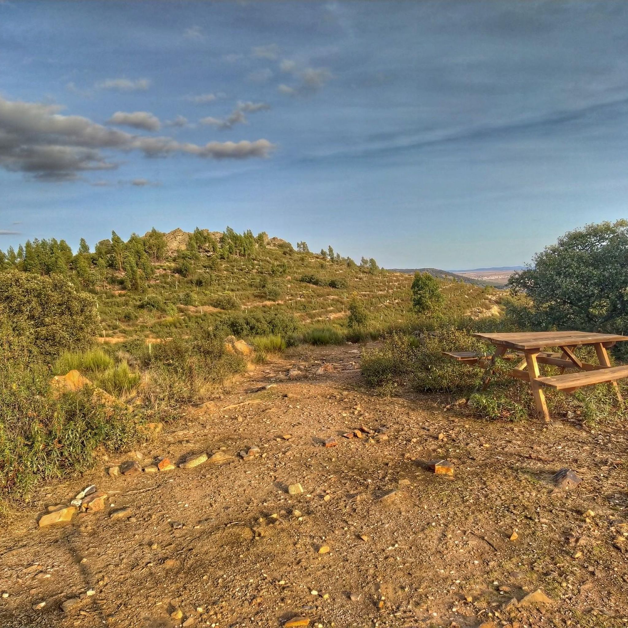
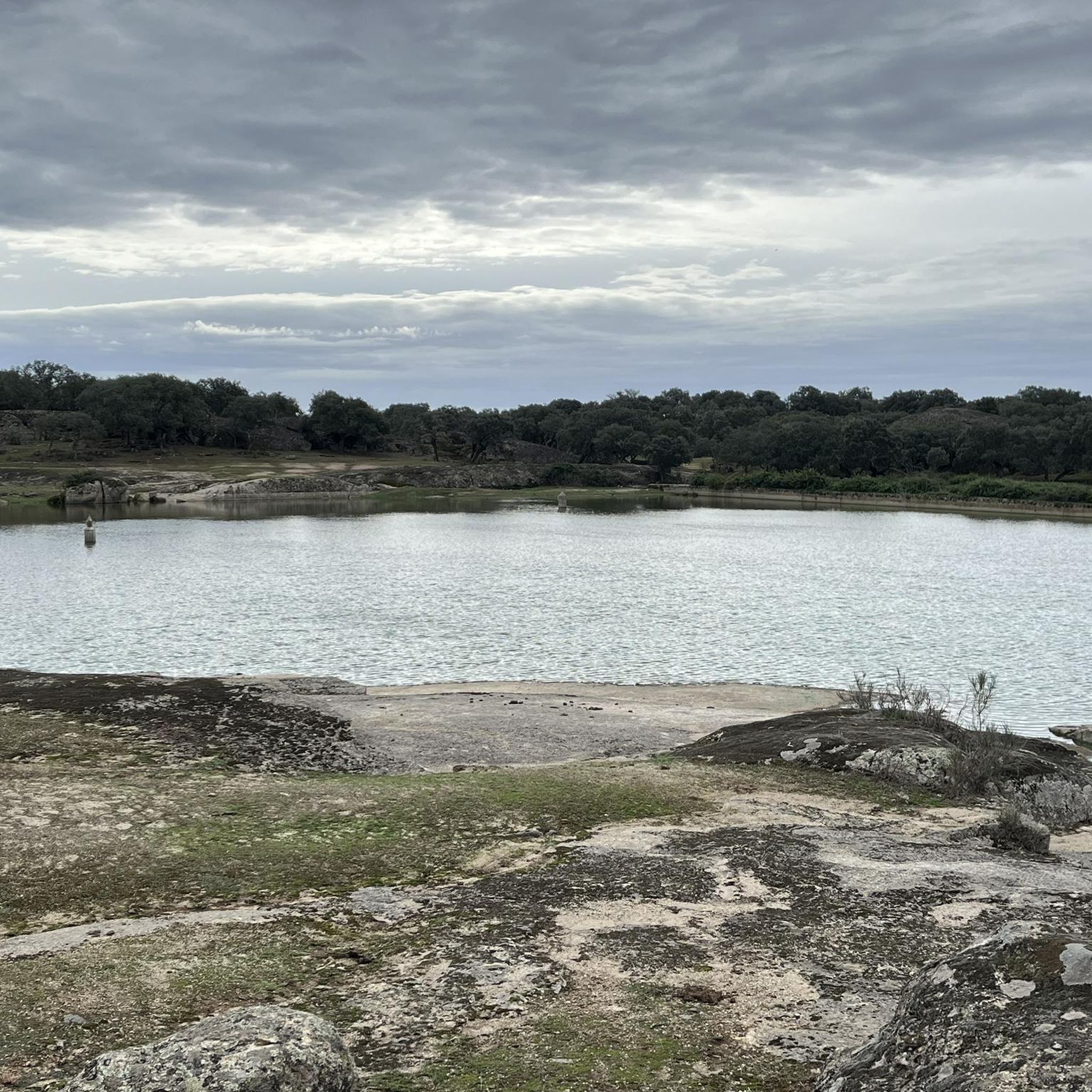
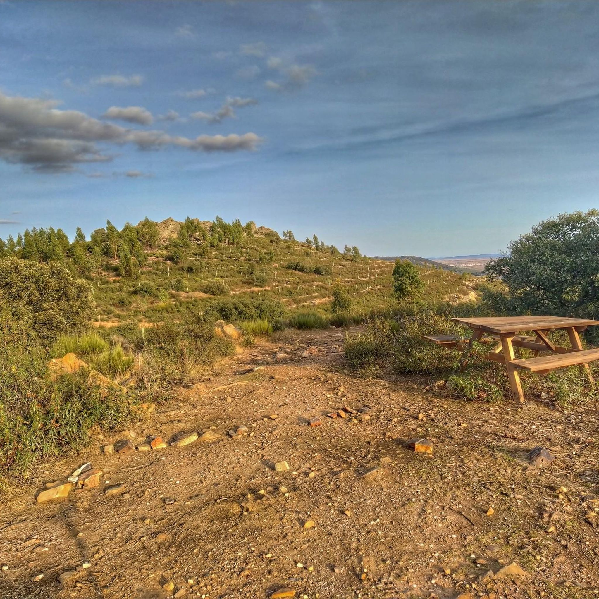
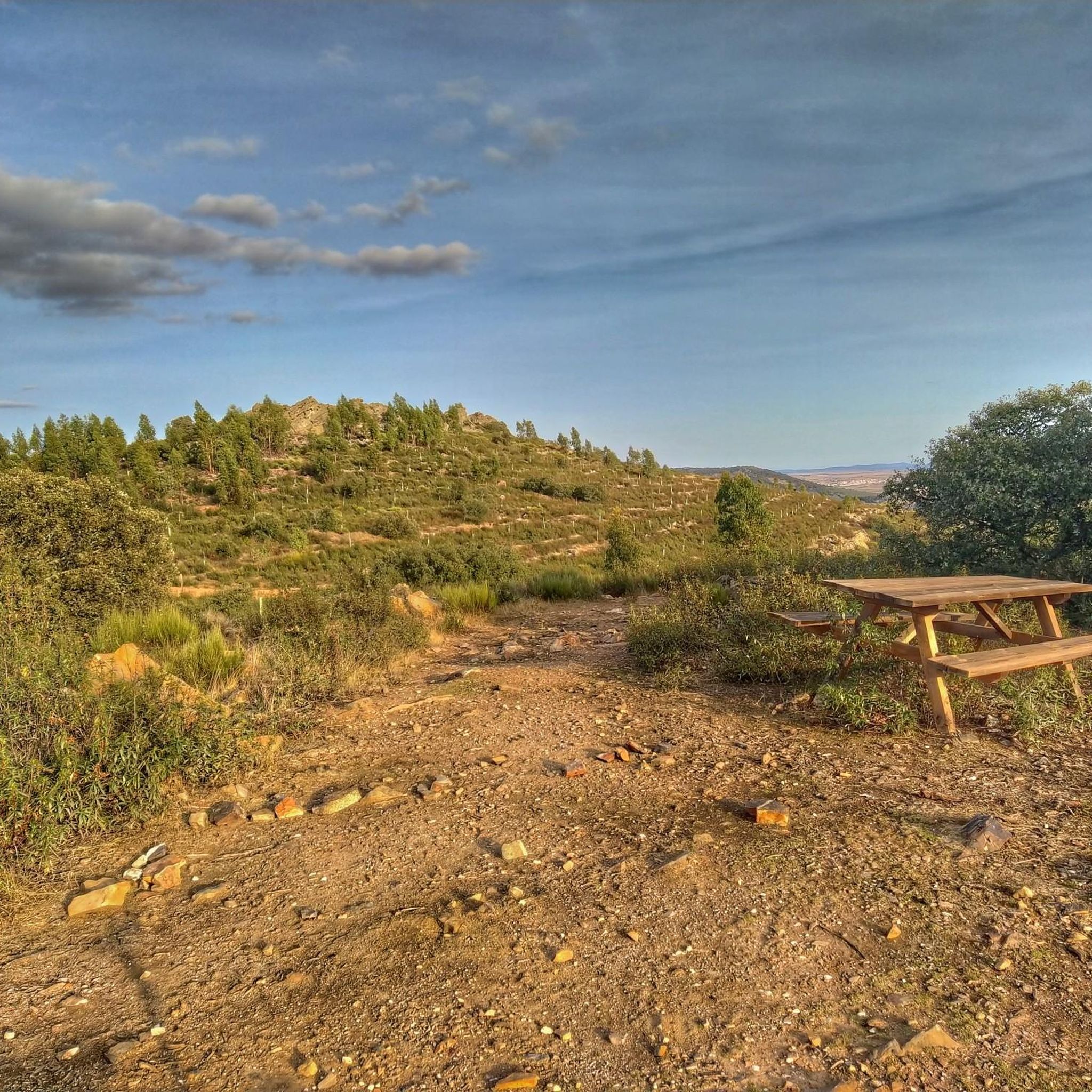
Tips from the Community

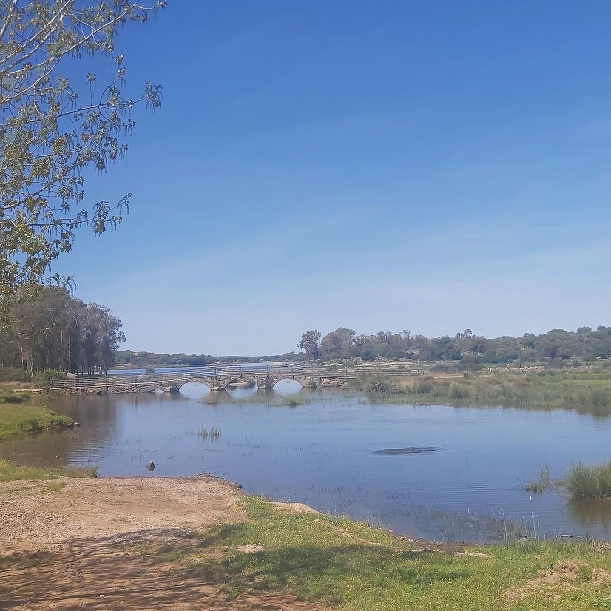
Beautiful little lake and oasis of peace
0
0

Small pond with lots of green algae and waterfowl. A beautiful shady path runs along the small lake.
10
0
The riverbank area is a good refuge for birds of prey such as the black vulture, the golden eagle and the black stork. Among the mammals are wild boars, genets, otters and foxes.
11
0
Beautiful steppe landscape, rolling grassland and great views, what a pleasure.
11
0

The open landscape of the province of Cáceres is charming. Its beauty combines the natural and the agrarian in perfect harmony.
4
0

Well integrated into the city, it is located between Hernán Cortés Avenue and Rodríguez de Ledesma Avenue. It is a pleasant space with a large central pond and an Open-Air Sculpture Museum, which we can admire as we stroll through. At the main entrance, there is a botanical garden, and at the end, a fountain known as La Madrila, restored by the Escuela Taller (Workshop School) and once used as a drinking trough and wash house.
7
0
This square is legally protected as an Asset of Cultural Interest (BIC) and is within the catalog of protected assets of the Cáceres city council. Its neo-Mudejar architecture and rich history make it an emblematic place for lovers of bullfighting and culture.
8
0

TAMUJA BIKE LOOP MTB CENTER, which is what they have called it and which Bikes at Forest has carried out on behalf of the promoter ADISMONTA. Tracks at: https://es.wikiloc.com/wikiloc/user.do?id=14571663
0
0
Frequently Asked Questions
What is the general difficulty level of gravel bike trails in Sierra De Fuentes?
Gravel biking in Sierra De Fuentes offers a mix of challenges. While there are no routes specifically classified as 'easy', you'll find a good selection of 22 moderate routes and 6 more difficult options. The terrain often includes rolling landscapes with notable elevation gains, suitable for riders with some experience.
What are the typical lengths and durations of gravel bike routes in Sierra De Fuentes?
The gravel bike routes in Sierra De Fuentes vary in length, generally ranging from around 24 miles (39 km) to over 70 miles (113 km). For example, the Guadiloba Reservoir – Guadiloba River loop from Cáceres is about 24.3 miles (39.1 km) and takes nearly 3 hours, while the challenging Gravel loop from Torreorgaz extends to 70.8 miles (113.9 km) and can take over 10 hours to complete.
Are there any beginner-friendly gravel bike routes in Sierra De Fuentes?
Based on the available routes, there are no trails specifically categorized as 'easy' for gravel biking in Sierra De Fuentes. Most routes are rated as moderate or difficult, suggesting they are better suited for riders with some gravel biking experience.
What are good starting points for gravel biking in Sierra De Fuentes?
Many popular gravel routes in the Sierra De Fuentes area, such as the Guadiloba Reservoir – Guadiloba River loop and the Embalse del Casar de Cáceres – El Bujío loop, commonly start from Cáceres. This city serves as a convenient hub for accessing the region's trails.
What can I see along the gravel bike trails in Sierra De Fuentes?
The routes often traverse natural areas, connecting towns and scenic water bodies like the Guadiloba Reservoir and Embalse del Casar de Cáceres. While riding, you might encounter historical sites in nearby Cáceres, such as the Historic Centre of Cáceres or the Torre de Bujaco, offering a blend of natural beauty and cultural interest.
Are there any circular gravel bike routes available in Sierra De Fuentes?
Yes, many of the gravel bike routes in Sierra De Fuentes are designed as loops, allowing you to start and finish in the same location. Examples include the Guadiloba Reservoir – Guadiloba River loop from Cáceres and the Malpartida de Cáceres loop from Cáceres.
What do other gravel bikers enjoy the most about gravel biking in Sierra De Fuentes?
The area is highly rated by the komoot community, with an average score of 5.0 stars. Reviewers often praise the varied terrain, which includes paths around significant reservoirs and along river systems, offering diverse scenery and a good mix of challenges.
What kind of landscapes can I expect on gravel bike routes around Sierra De Fuentes?
You can expect diverse landscapes characterized by rolling hills, paths around large reservoirs like Guadiloba and Embalse del Casar de Cáceres, and sections along river systems. The routes often involve traversing natural areas, providing a scenic and engaging ride.
Are there any notable landmarks or historical sites near the gravel trails?
Yes, the region is close to the historic city of Cáceres, which offers several significant landmarks. You can explore the Co-Cathedral of Santa María, the Cáceres Main Square, or the Palace and Tower of the Storks, many of which are part of the UNESCO World Heritage Site.
How many gravel bike trails are available in the Sierra De Fuentes region?
There are over 20 gravel bike trails documented in the Sierra De Fuentes region on komoot, offering a variety of options for different skill levels and preferences.
What is the longest gravel bike route in Sierra De Fuentes?
One of the longest gravel bike routes in the area is the Gravel loop from Torreorgaz, which spans approximately 70.8 miles (113.9 km) and features over 3,200 feet (1,000 meters) of elevation gain, making it a challenging and extensive ride.
Most popular routes around Sierra De Fuentes
Most popular attractions around Sierra De Fuentes

Get inspired with the komoot mobile app


Explore more
Browse the best Gravel rides in other regions.
