The best gravel rides around Aguilar De Campoo
5.0
(1)
28
riders
5
rides
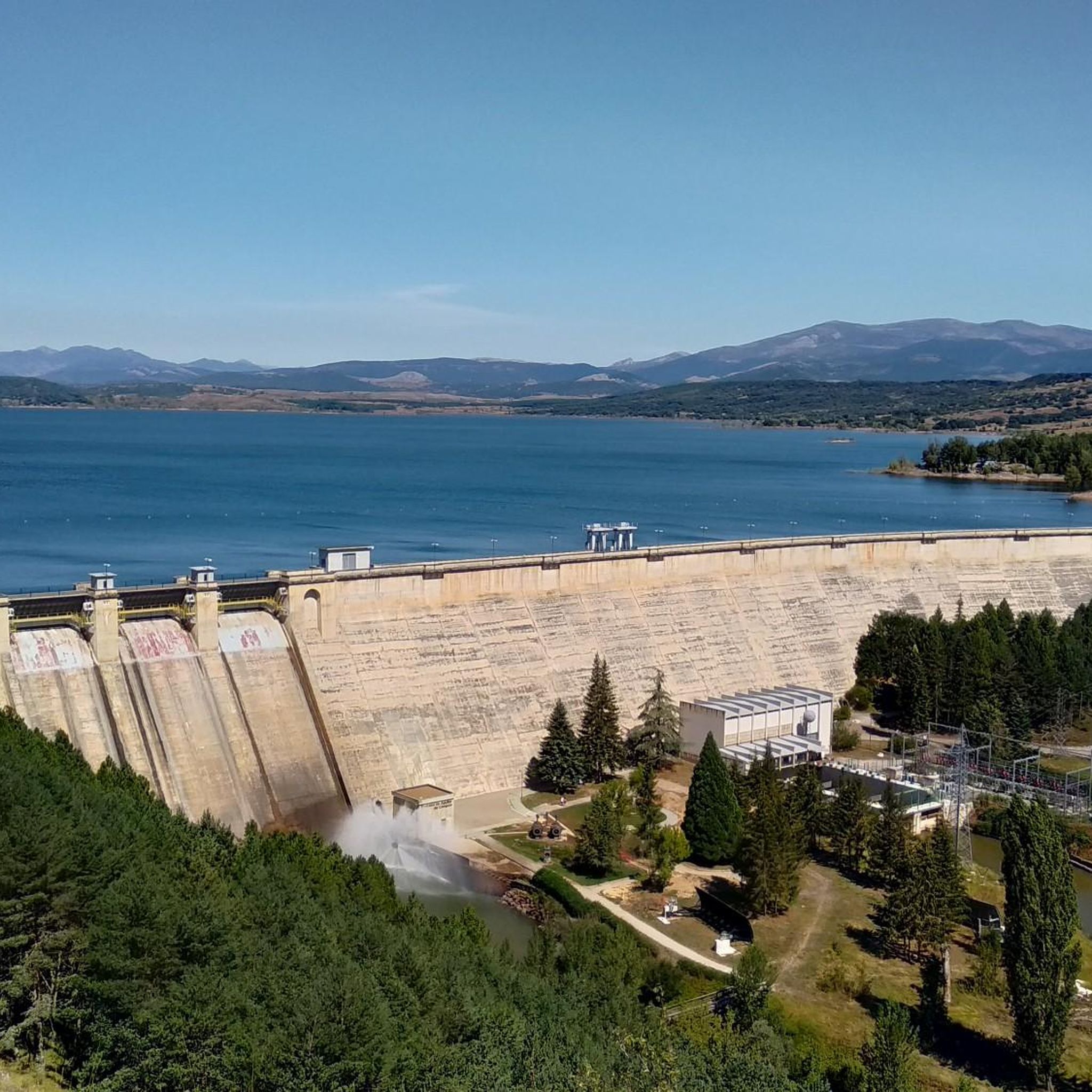
Gravel biking around Aguilar De Campoo features routes through the varied landscape of northern Palencia, Spain. The region is characterized by its large reservoir, the Embalse de Aguilar, surrounded by rolling hills and agricultural plains. Gravel bike trails in Aguilar De Campoo often traverse a mix of unpaved roads, forest tracks, and paths alongside waterways, offering diverse riding surfaces. The terrain includes moderate ascents and descents, typical of the foothills of the Cantabrian Mountains.
Best gravel bike trails around Aguilar…
Last updated: May 21, 2026
5.0
(1)
11
riders
76.9km
05:38
1,030m
1,030m
Hard gravel ride. Very good fitness required. Mostly paved surfaces. Suitable for all skill levels.
6
riders
Hard gravel ride. Very good fitness required. Mostly paved surfaces. Suitable for all skill levels.

Sign up for free
3
riders
Hard gravel ride. Very good fitness required. You may need to push your bike for some segments of this route.
2
riders
Hard gravel ride. Very good fitness required. You may need to push your bike for some segments of this route.
2
riders
Hard gravel ride. Very good fitness required. You may need to push your bike for some segments of this route.
Our route recommendations are based on thousands of hikes, rides, and runs completed by other people on komoot.
Start today with a free account
Your next adventure awaits.
Login or Signup
Tips from the Community


In the Plaza de España, the nerve centre of the town.
1
0

How hard would life be in those 8th, 9th and 10th centuries? Hope... a small hermitage dug into a rock and the tomb? as close as possible to the altar, as close as possible to Christ, when the end of the world and the resurrection of the dead arrived. It... overwhelms me.
1
0

The next town is Vallespinoso de Aguilar. The hermitage of Santa Cecilia, immediately standing out on a castle hill, is dated to the 12th century and was declared a historical-artistic monument in 1951. The portico has well-carved capitals and the location conveys the atmosphere of a fortress sanctuary.
0
0

The Church of the Assumption, located in Barrio de Santa María, is an outstanding example of the Romanesque in the Palencia Mountain. Built in the 16th century on the remains of a 12th-century Romanesque church, it preserves elements such as the apse and the nave of the Gospel.
2
0
Built in stone and in medieval style, Puente de San Roque de Cervera de Pisuerga, dates from the 15th century. The bridge is composed of 4 arches.
1
0
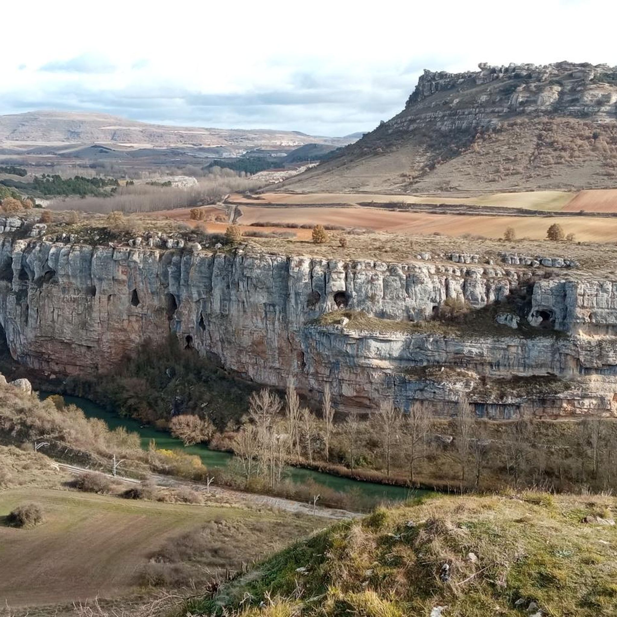
Nice railway bridge that crosses the Pisuerga river on the outskirts of Salinas de Pisuerga.
1
0
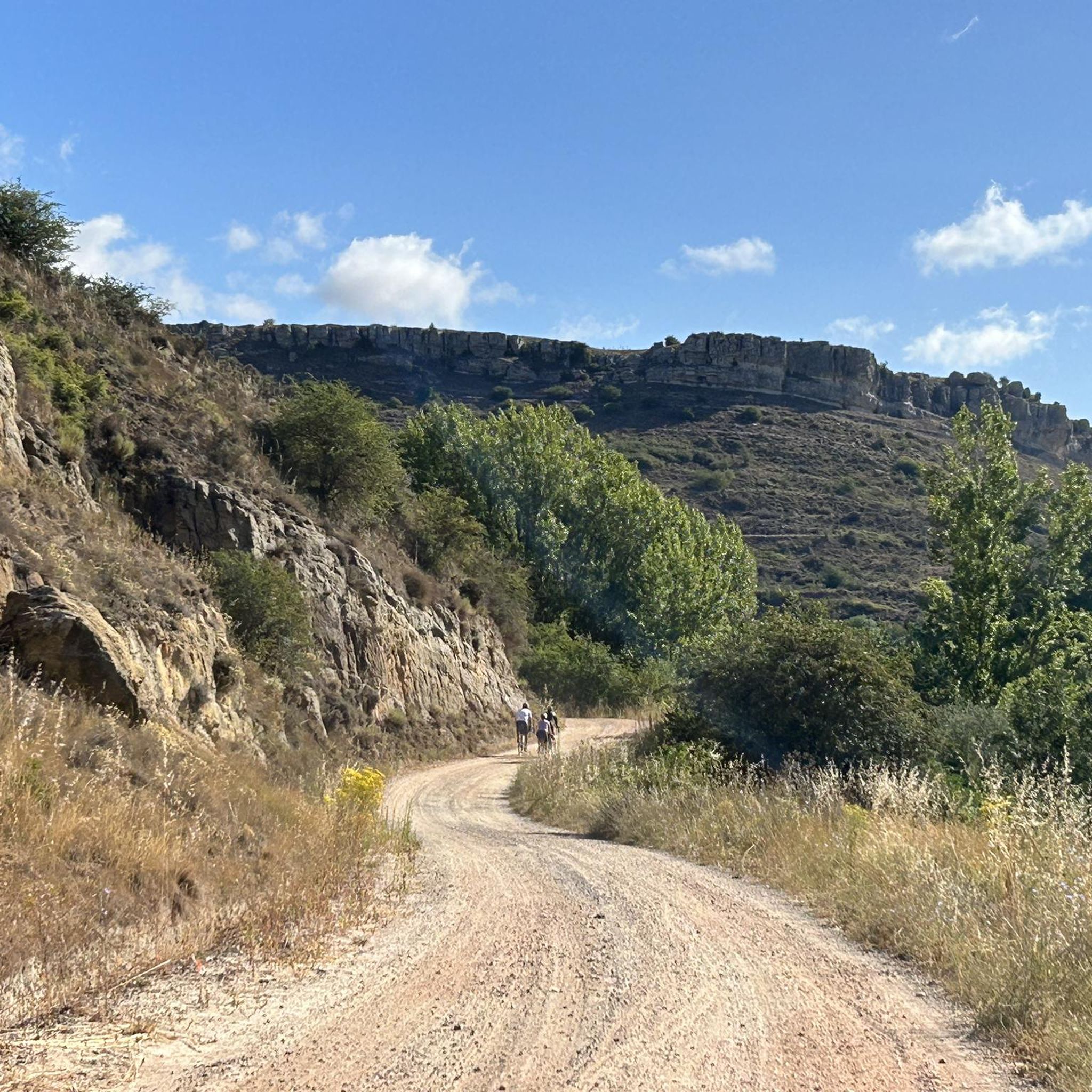
Section of gravel track with small ups and downs and a nice view with the mountains in the distance.
1
0
Frequently Asked Questions
What kind of terrain can I expect on gravel bike trails around Aguilar De Campoo?
The gravel bike trails in Aguilar De Campoo traverse a diverse landscape, featuring a mix of unpaved roads, forest tracks, and paths alongside waterways. You'll encounter rolling hills and agricultural plains, with moderate ascents and descents typical of the foothills of the Cantabrian Mountains.
Are there any easy or beginner-friendly gravel bike routes in Aguilar De Campoo?
The gravel routes around Aguilar De Campoo are generally considered challenging, with all listed tours rated as 'difficult'. They are best suited for experienced gravel bikers seeking demanding rides with significant elevation changes and longer distances.
What are the typical distances for gravel bike routes in this region?
Gravel bike routes in Aguilar De Campoo vary in length, generally ranging from approximately 40 kilometers (25 miles) to over 75 kilometers (47 miles). For example, the Cervera de Pisuerga – Salinas de Pisuerga Bridge loop from Cervera de Pisuerga is about 40.7 km, while the Salinas de Pisuerga Bridge – Hermitage of Santa Cecilia loop from Mave extends to 76.9 km.
Are there any circular gravel bike routes available?
Yes, all the gravel bike routes highlighted in the region are designed as loops, allowing you to start and finish at the same point. This includes popular options like the Salinas de Pisuerga Bridge – Aguilar Reservoir loop from Aguilar de Campoo.
What kind of scenic views can I expect on these gravel rides?
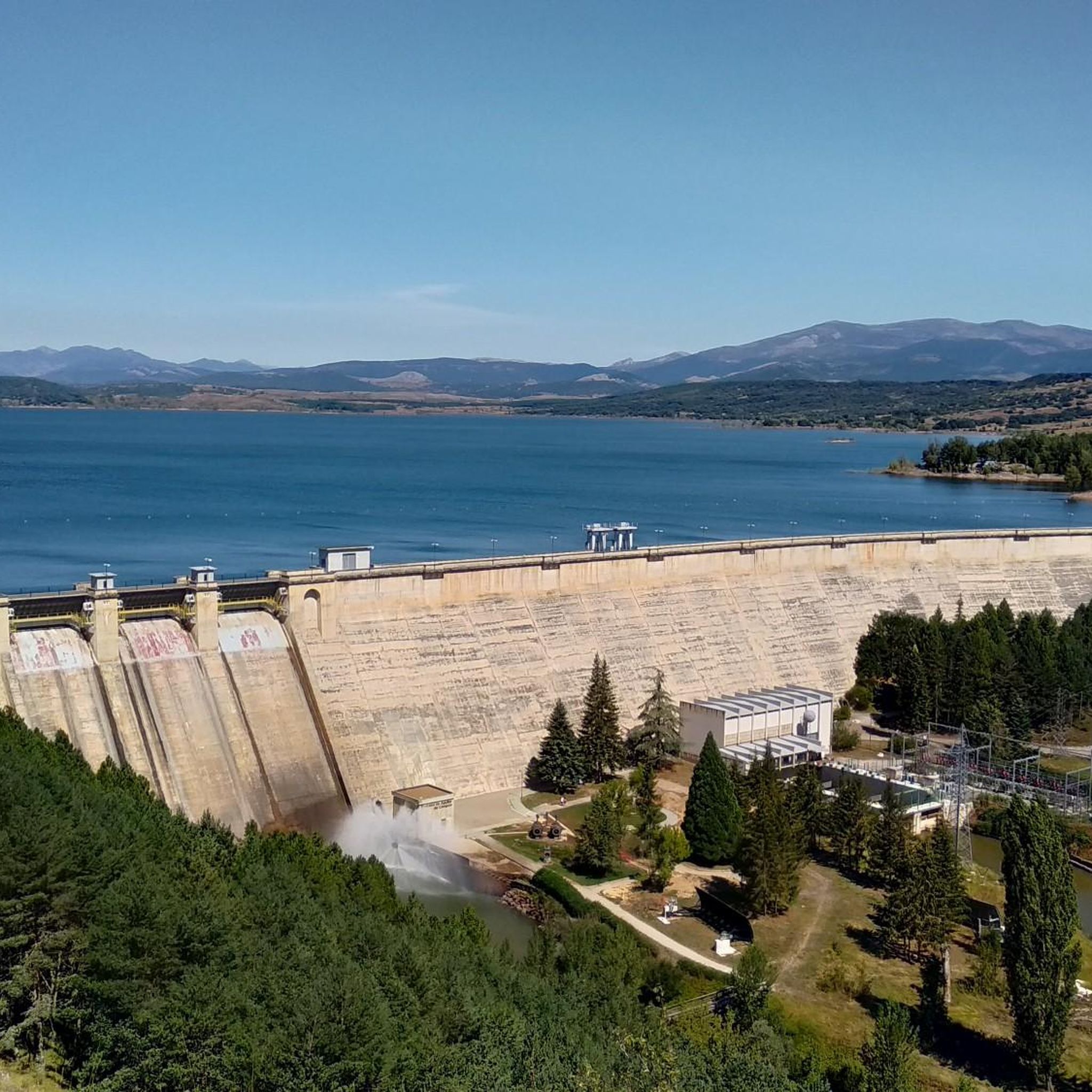
Many routes offer picturesque views of the large Embalse de Aguilar (Aguilar Reservoir) and the surrounding natural areas. You'll also ride through rural landscapes, past historical structures, and enjoy the rolling hills of northern Palencia. For specific viewpoints, consider exploring highlights like Peña Corbera.
What are some interesting landmarks or attractions near the gravel trails?
The region is rich in natural and historical sites. You can find several mountain peaks nearby, such as Peña Amaya and Cross of Mount Bernorio. There are also fascinating caves to explore, including the Horadada Tunnel and the Cave of Amaya.
What do other gravel bikers enjoy most about gravel biking in Aguilar De Campoo?
The komoot community highly rates the gravel biking experience in Aguilar De Campoo, with an average score of 5.0 stars. Riders often praise the varied terrain, the challenging nature of the routes, and the scenic views, particularly those around the reservoir and along the Pisuerga River.
Are there any routes that pass by historical sites or structures?
Yes, several routes incorporate historical elements. For instance, the Salinas de Pisuerga Bridge – Hermitage of Santa Cecilia loop from Mave includes sections near the Pisuerga River and passes historical structures. The Hermitage of Santa Cecilia – Ermita de Santa Cecilia loop from El Cierzo also leads past local landmarks.
What is the best time of year for gravel biking in Aguilar De Campoo?
The best time for gravel biking in Aguilar De Campoo is typically during the spring (April to June) and autumn (September to October) months. During these periods, the weather is generally mild and pleasant, avoiding the intense heat of summer and the colder, potentially wetter conditions of winter.
Are there opportunities for cafe stops or refreshments along the routes?
While specific cafe stops are not detailed for every route, many of the loops start or pass through towns and villages like Aguilar de Campoo, Mave, or Cervera de Pisuerga, where you can find facilities for refreshments and breaks.
How many gravel bike trails are available in the Aguilar De Campoo area?
There are several challenging gravel bike routes available around Aguilar De Campoo, offering a variety of distances and experiences for experienced riders.
Most popular routes around Aguilar De Campoo
Most popular attractions around Aguilar De Campoo

Get inspired with the komoot mobile app


Explore more
Browse the best Gravel rides in other regions.
