The best gravel rides around Muntanyola
4.3
(60)
988
riders
174
rides
Gravel biking around Muntanyola offers diverse landscapes, characterized by an elevated position between the plains of Vic and Lluçanès. The terrain features a mosaic of plateaus, valleys, and small hills, carved by streams and ravines. Riders traverse cultivated fields and extensive forests of Scots pine, holm oak, and downy oak, with the Muntanyola stream meandering through these areas. The region's average altitude of approximately 850 meters provides varied elevation changes suitable for gravel cycling.
Best gravel bike trails around Muntanyola
…Last updated: May 22, 2026
16
riders
Hard gravel ride. Very good fitness required. Mostly paved surfaces. Suitable for all skill levels.
5.0
(1)
15
riders
Moderate gravel ride. Good fitness required. Mostly paved surfaces. Suitable for all skill levels.

Sign up for free
17
riders
44.7km
03:11
700m
700m
Hard gravel ride. Very good fitness required. Mostly paved surfaces. Suitable for all skill levels.
10
riders
Hard gravel ride. Very good fitness required. Mostly paved surfaces. Suitable for all skill levels.
3.1
(7)
17
riders
60.5km
04:10
1,200m
1,200m
Hard gravel ride. Very good fitness required. Mostly paved surfaces. Suitable for all skill levels.
Get access to more routes and recommendations from other explorers.
Sign up for free
Already have an account?
Our route recommendations are based on thousands of hikes, rides, and runs completed by other people on komoot.
Start today with a free account
Your next adventure awaits.
Login or Signup
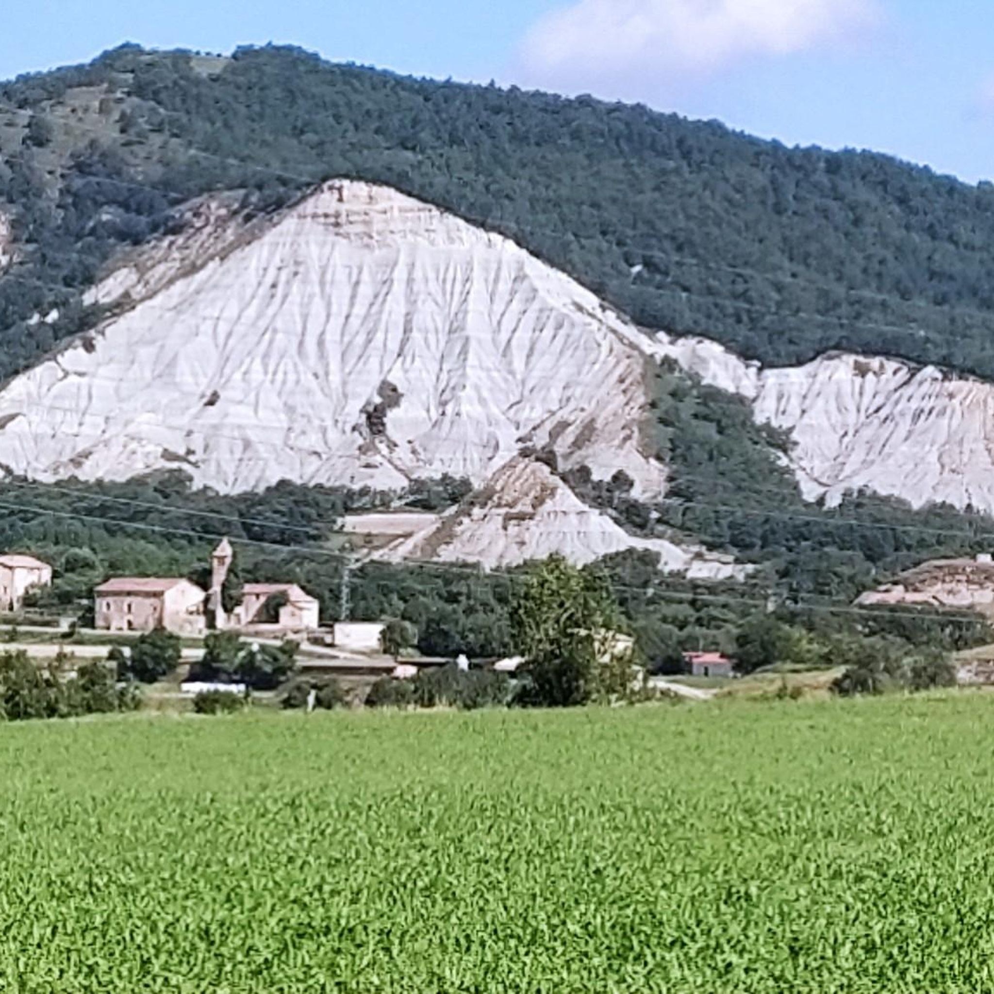
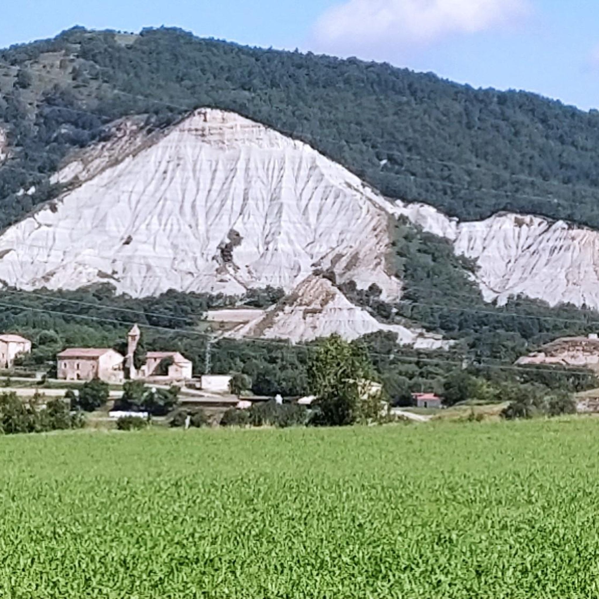
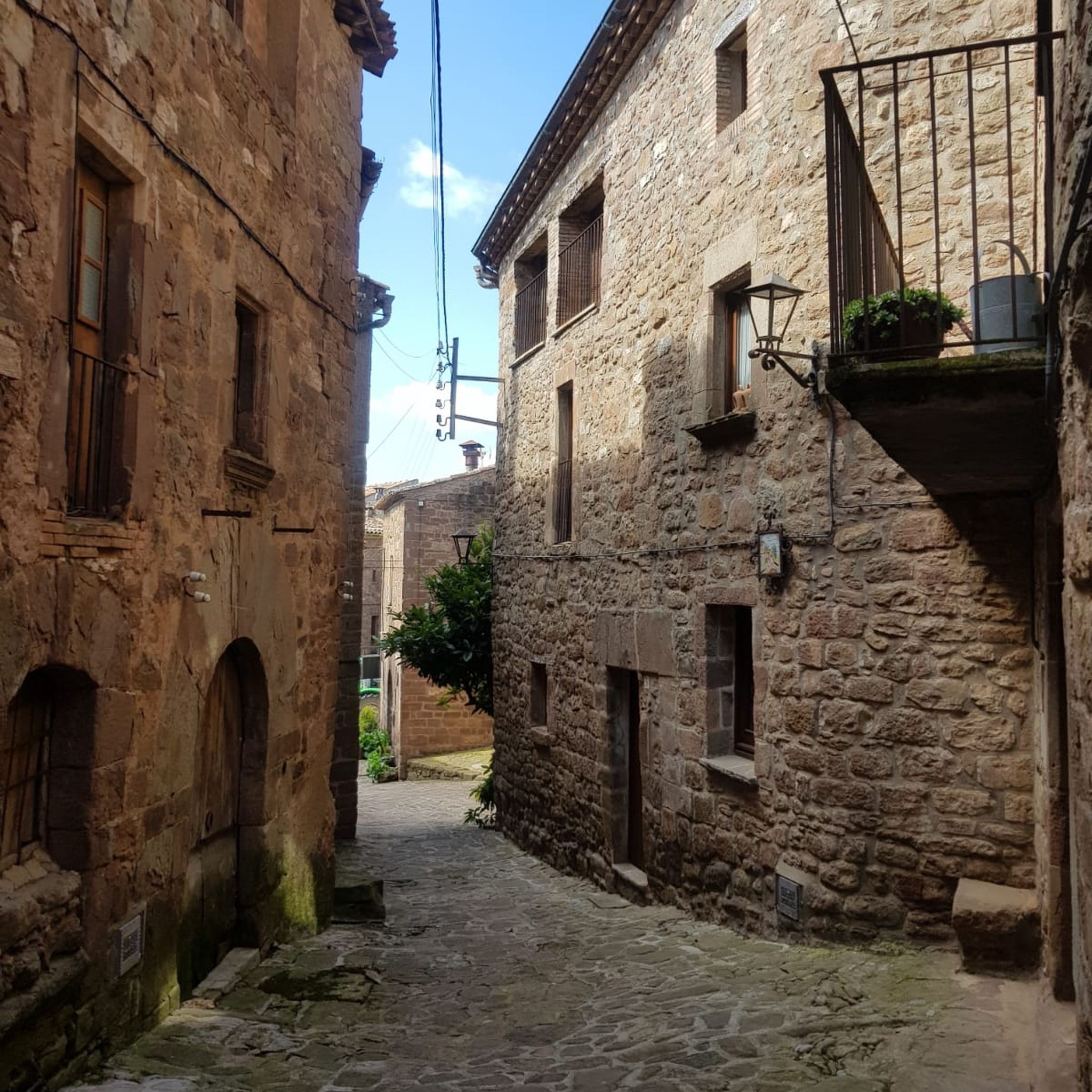
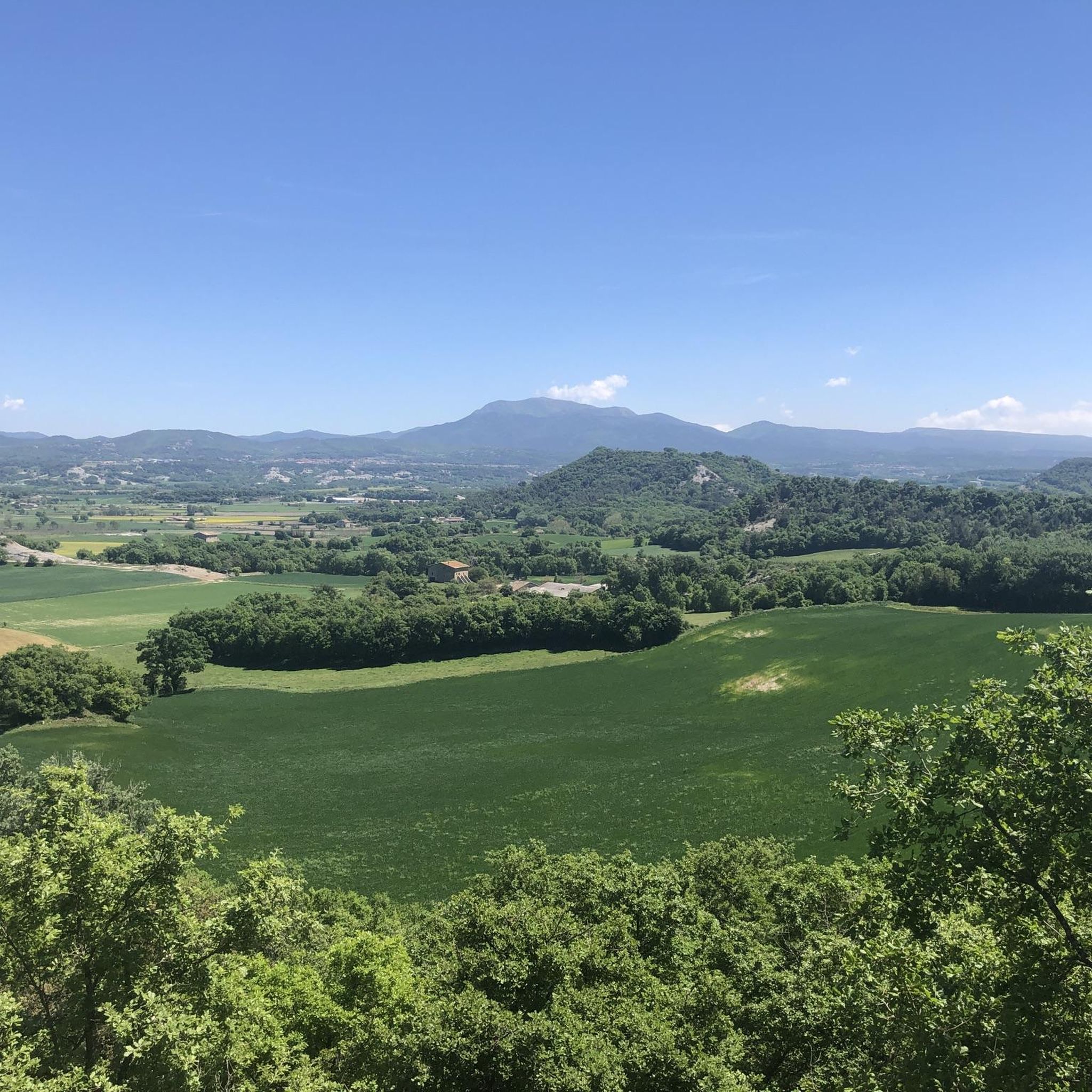

Tips from the Community

Located opposite the Mas de l’Esplugues farmhouse, this bridge allows passage over the Fontscalents stream, a tributary of the Marfà stream. Despite its small size, it is a Romanesque construction that has been preserved to this day. It has a single arch and a narrow passage, designed for the old bridle paths, intended for people and animals, but not for carts. The railing currently visible is a modern addition intended to improve safety.
2
0
This farmhouse is very special: it's built taking advantage of the natural shelter of a large rock and is located next to the Fontscalents stream. This spot has been home to different generations for over a thousand years, from medieval times until very recently, making it a place steeped in history. Although its name is already mentioned at the end of the 12th century, the building that stands today is the result of later renovations, especially from the 17th and 18th centuries. Some dates engraved in the stone still offer clues to these works. The façade, with its irregular and rustic appearance, blends elements of well-worked stone with simpler walls made of rubble and mortar.
1
0
Collsuspina is a small village with fewer than 400 inhabitants. It belongs to the Moyanés region. Its name comes from the fact that it was established on the Espina pass, along the old royal road from Manresa to Vic. The pass was named after the important L'Espina farmhouse that once stood there.
0
0

Beautiful views of Centelles
1
0

Quiet and cozy place
0
0
Good asphalt road in perfect condition
0
0

Incredible places to take photos
0
0
The roads are very good, there are some puddles.
0
0
Frequently Asked Questions
What kind of terrain can I expect on gravel bike trails around Muntanyola?
Muntanyola offers a diverse landscape for gravel biking, characterized by an elevated position between the plains of Vic and Lluçanès. You'll encounter a mosaic of plateaus, valleys, and small hills, often carved by streams and ravines. Routes traverse cultivated fields and extensive forests of Scots pine, holm oak, and downy oak, with the Muntanyola stream meandering through these areas. The average altitude of approximately 850 meters ensures varied elevation changes.
Are there any easy gravel bike routes suitable for beginners or families in Muntanyola?
Yes, Muntanyola offers routes suitable for various skill levels. While many trails are moderate to difficult, there are options for easier rides. For example, the Hills of the Austriana Plain – Church of Sentfores (La Guixa) loop from Balenyà - Tona - Seva is a moderate 18.8-mile path that explores rolling hills and agricultural landscapes, which can be a good option for those looking for a less strenuous ride. Always check the route details for specific difficulty ratings.
What are some notable natural features or viewpoints I can expect to see along the gravel routes?
The region is rich in natural beauty. You'll ride through extensive forests of Scots pine, holm oak, and downy oak, and alongside the meandering Muntanyola stream. The area is also near the Montseny Natural Park, offering stunning views. Keep an eye out for the distinctive 'roures martinencs' (sessile oaks) in the beautiful oak forests. Some routes, like the Coll Formic Pass (1,145 m) – Montseny Forest Road loop from Tona, offer significant elevation gain, leading to panoramic vistas.
Are there any waterfalls or interesting historical sites to visit near the gravel trails?
Yes, there are several interesting natural and historical sites. You can find beautiful waterfalls such as the Salt de la Tosca Waterfall and Molí de Brotons, the Purgatory Waterfall, and the Gorg de la Sort. Historically, the area features traditional farmhouses, some dating back to the 17th century, and cultural sites like the Church of Sant Quirze i Santa Julita and the Church of Sant Esteve de Múnter. You can also explore various air raid shelters around Tona.
What is the best time of year for gravel biking in Muntanyola?
Muntanyola experiences a Mediterranean mountain climate. Spring and autumn are generally ideal, with moderate rainfall and pleasant temperatures, perfect for exploring the diverse landscapes. Summers are warm, and winters can be cold, so plan accordingly for those seasons, considering potential snow or higher temperatures.
Are there any circular gravel bike routes in Muntanyola?
Many of the gravel bike routes in Muntanyola are designed as loops, allowing you to start and finish at the same point. For instance, the Sant Quirze de Muntanyola – Collsuspina loop from Balenyà - Tona - Seva is a popular circular trail leading through varied forest and open country. The Collsuspina – Coll de la Pullosa (917 m) loop from Santa Eulàlia de Riuprimer also offers a challenging circular experience.
What do other gravel bikers say about the trails in Muntanyola?
The gravel biking routes in Muntanyola are highly rated by the komoot community, with an average score of 4.5 stars from over 30 reviews. Over 1,100 gravel bikers have used komoot to explore the area, often praising the varied terrain, from plateaus and valleys to extensive oak and pine forests, and the options available for different ability levels.
Are there options for parking near the gravel bike trails in Muntanyola?
While specific parking areas for each trail are not detailed, Muntanyola is a rural area, and many routes start from towns like Tona, Balenyà, or Santa Eulàlia de Riuprimer. These towns typically offer public parking options. It's advisable to check the starting point of your chosen route for the most convenient parking.
Can I access the gravel trails using public transport with my bike?
Muntanyola is nestled in the Osona region, and while public transport options exist to nearby towns, bringing a bike on public transport can vary by service and time. It's recommended to check local bus or train services connecting to towns like Vic, Tona, or Balenyà for their bike policies before planning your trip.
Are there any cafes or places to eat near the gravel bike routes in Muntanyola?
Muntanyola and its surrounding villages, such as Tona, Balenyà, and Santa Eulàlia de Riuprimer, offer local amenities including cafes and restaurants where you can refuel after your ride. These smaller towns provide opportunities to experience local Catalan cuisine and hospitality.
What is the overall difficulty level of gravel biking in Muntanyola?
Gravel biking around Muntanyola offers a range of difficulties. Out of over 220 routes, you'll find options from moderate to difficult. There are 73 moderate routes and 144 difficult routes, with 6 easier options. This means you can choose trails that match your fitness and experience level, from rolling hills to challenging ascents with significant elevation gain.
Are there any specific routes that offer a good challenge for experienced gravel bikers?
Experienced gravel bikers will find plenty of challenging routes in Muntanyola. The Coll Formic Pass (1,145 m) – Montseny Forest Road loop from Tona is a demanding 51.2-mile trail with significant elevation gain through the Montseny area, taking over 7 hours to complete. Another difficult option is the Saint Michael of Vilageliu – Sant Miquel de Vilageliu loop from Balenyà - Tona - Seva, a 53.3-mile route with substantial climbing.
Most popular routes around Muntanyola
Most popular attractions around Muntanyola

Get inspired with the komoot mobile app


Explore more
Browse the best Gravel rides in other regions.
