The best gravel rides around Villaconejos
63
riders
16
rides
Gravel biking around Villaconejos offers routes through varied terrain, often following river valleys and historical pathways. The landscape features open country, sections along waterways like the Jarama River, and views of historical sites. This area provides a mix of challenging routes with significant elevation gains and longer distances. The region's gravel paths are suitable for experienced riders seeking extended adventures.
Best gravel bike trails around Villaconejos
- The most popular gravel bike trail is Old Bridge of Titulcia – Titulcia Main…
Last updated: May 22, 2026
8
riders
35.1km
02:41
250m
250m
Moderate gravel ride. Good fitness required. Mostly paved surfaces. Suitable for all skill levels.
18
riders
130km
08:02
790m
790m
Hard gravel ride. Very good fitness required. Mostly paved surfaces. Suitable for all skill levels.

Sign up for free
5
riders
62.2km
04:54
470m
470m
Hard gravel ride. Very good fitness required. Mostly paved surfaces. Suitable for all skill levels.
6
riders
Hard gravel ride. Very good fitness required. Mostly paved surfaces. Suitable for all skill levels.
2
riders
34.7km
02:47
250m
250m
Moderate gravel ride. Good fitness required. Mostly paved surfaces. Suitable for all skill levels.
Get access to more routes and recommendations from other explorers.
Sign up for free
Already have an account?
Our route recommendations are based on thousands of hikes, rides, and runs completed by other people on komoot.
Start today with a free account
Your next adventure awaits.
Login or Signup
Tips from the Community

Flat and accessible route that follows the old railway line between Arganda del Rey and Ambite, ideal for e-bikes, amidst fields, charming villages, and illuminated tunnels.
0
0

Views of the Jarama River and the cliffs with some machine gun nests from the Civil War.
0
0

This lagoon is artificial, created from the extraction of aggregates in the Jarama River basin during the 1960s and 1970s. It is an ideal place to enjoy nature, hike, or cycle. The lagoon's perimeter measures approximately 5.5 km, and its average depth is 6 meters, although in some areas it can reach 20 meters. It also has a natural resources interpretation center that organizes workshops and educational activities.
2
0
The Campillo Lagoon is located in Rivas Vaciamadrid, within the Southeast Regional Park, about 20 km from Madrid. It is a protected natural area, ideal for peaceful walks and outdoor activities. Origin: Artificial, formed in the 1960s and 70s after the extraction of aggregates in the Jarama River basin. Water from the aquifer filled the excavations and over time became a wetland with great biodiversity.
2
0

Be careful because the recent rains have caused a new landslide next to the previous one, and the road was closed by forest rangers.
1
0

Easy and comfortable route along this old railway line
0
0
The Campillo Lagoon is located in Rivas Vaciamadrid, within the Southeast Regional Park, about 20 km from Madrid. It is a protected natural area, ideal for peaceful walks and outdoor activities. Origin: Artificial, formed in the 1960s and 70s after the extraction of aggregates in the Jarama River basin. Water from the aquifer filled the excavations and over time became a wetland with great biodiversity.
4
0

The collapse, despite its few meters, a mix of hiking and carrying that raises the heart rate of even the most experienced, always offers one of the most picturesque views of the Madrid region near the capital: the confluence of the Manzanares and Jarama rivers, the Presa del Rey, a privileged panoramic view over parts of Rivas and Arganda, facing the mountains where much of the Battle of Jarama took place, and of course the cliffs. Having passed by there many times, it never leaves me indifferent.
0
0
Frequently Asked Questions
What is the typical difficulty level of gravel bike trails around Villaconejos?
Gravel biking around Villaconejos is primarily suited for experienced riders. The majority of the 13 available routes are classified as difficult, with a few moderate options. These trails often feature significant elevation gains and cover long distances, making them ideal for those seeking a challenging adventure.
Are there any easy or beginner-friendly gravel bike routes in Villaconejos?
While most routes are challenging, there is one route classified as easy among the 13 available gravel bike trails. However, the region generally caters to more experienced riders due to the demanding terrain and longer distances.
What kind of distances can I expect on gravel bike routes near Villaconejos?
The gravel routes around Villaconejos are generally long, designed for extended adventures. For example, popular routes like the Old Bridge of Titulcia – Titulcia Main Square loop from Ciempozuelos cover approximately 126 kilometers, and the View of Ambite – Tajuña Greenway Section loop from Ciempozuelos is nearly 130 kilometers.
What kind of scenery and terrain will I encounter on gravel bike trails in Villaconejos?
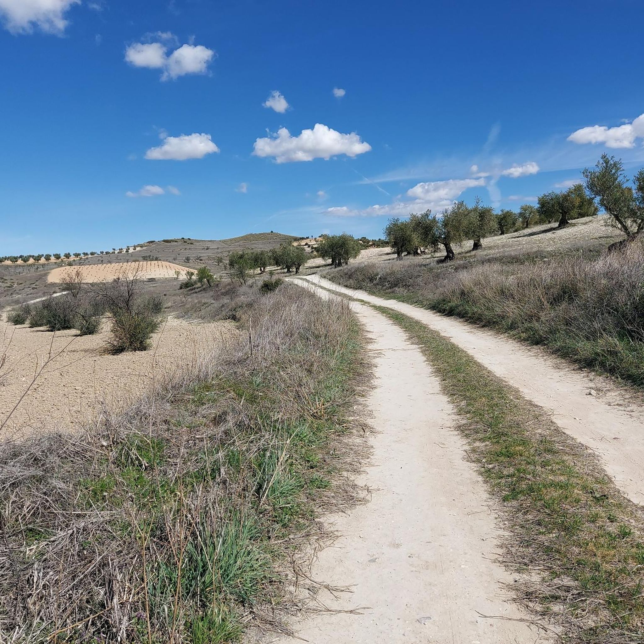
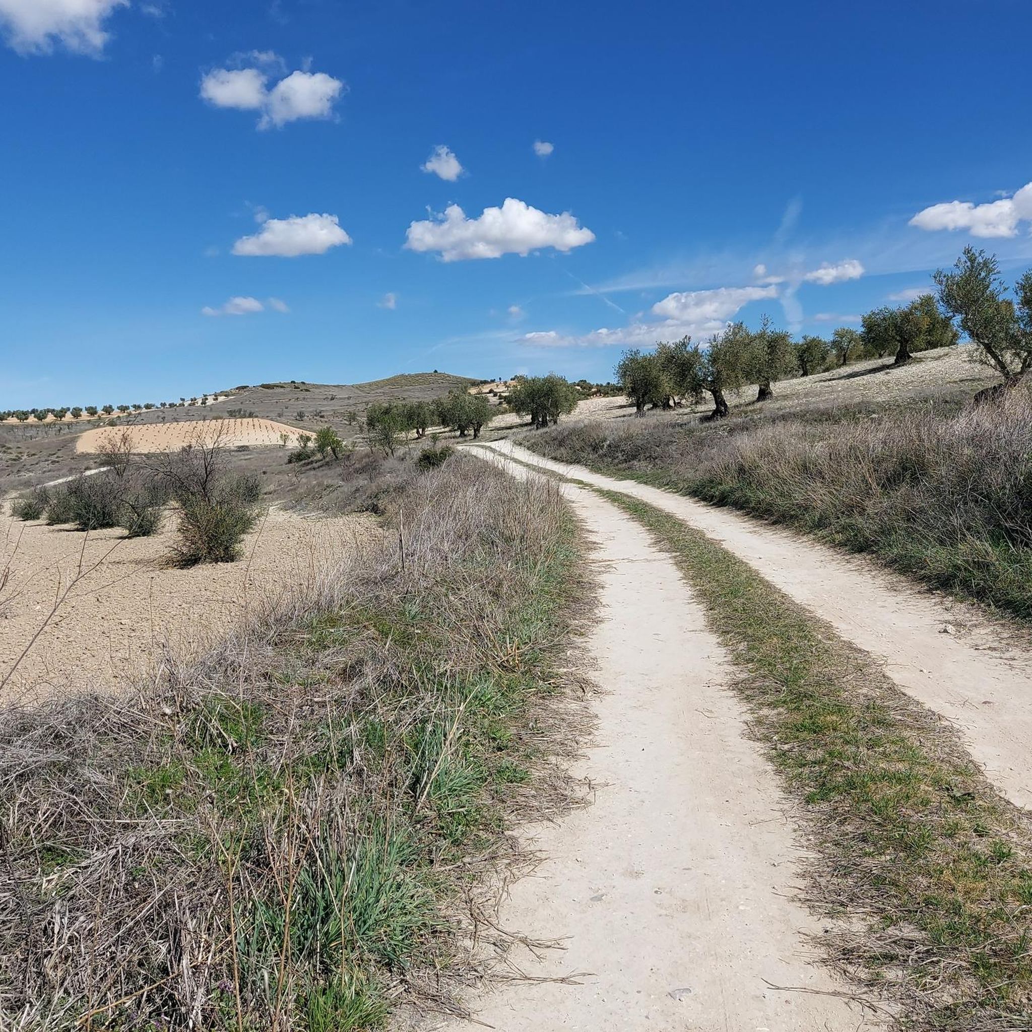
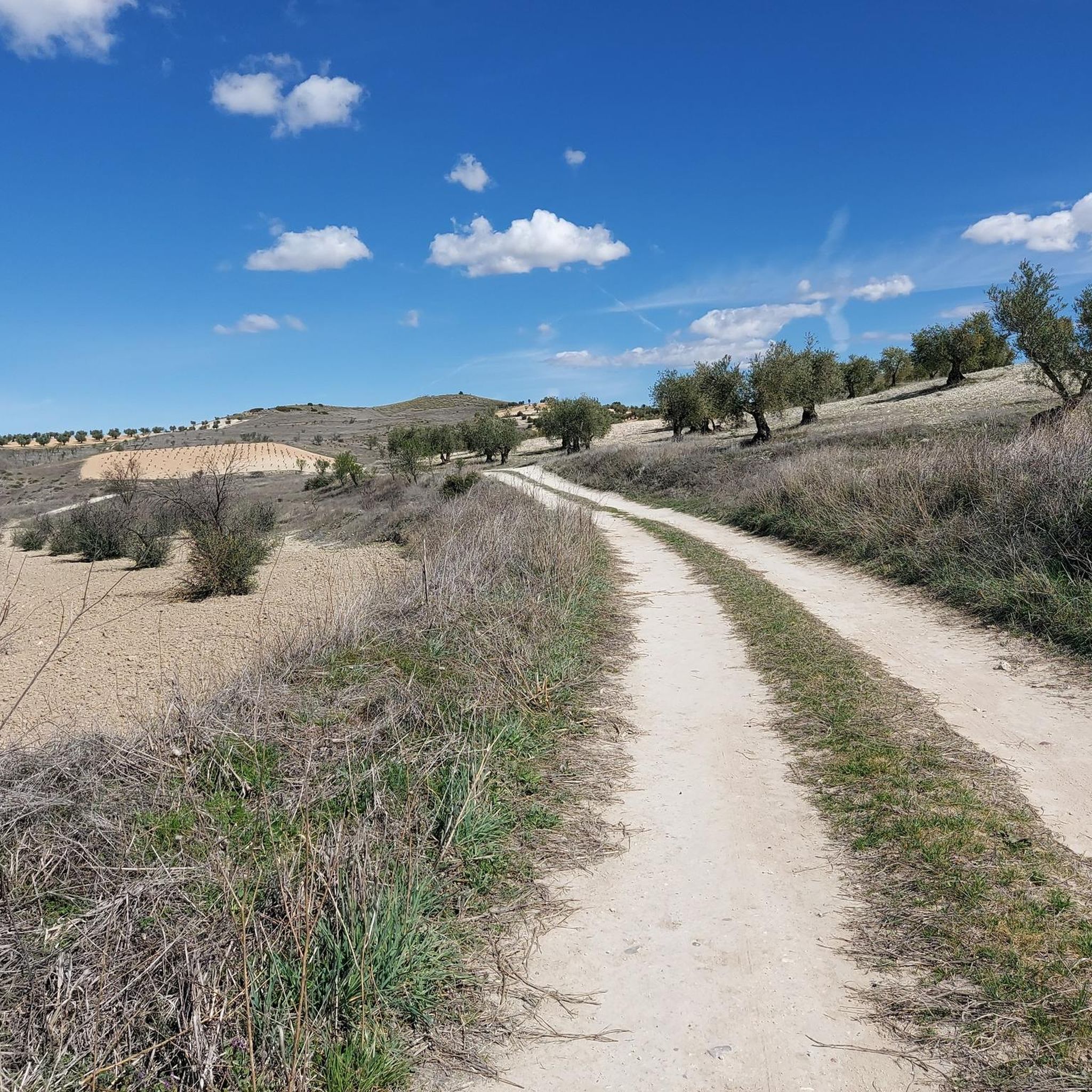
The landscape around Villaconejos offers varied terrain, often following river valleys like the Jarama River and historical pathways. You'll experience open country, sections along waterways, and views of historical sites. The trails combine agricultural areas with natural riverine environments.
Are there any interesting landmarks or attractions along the gravel bike routes?
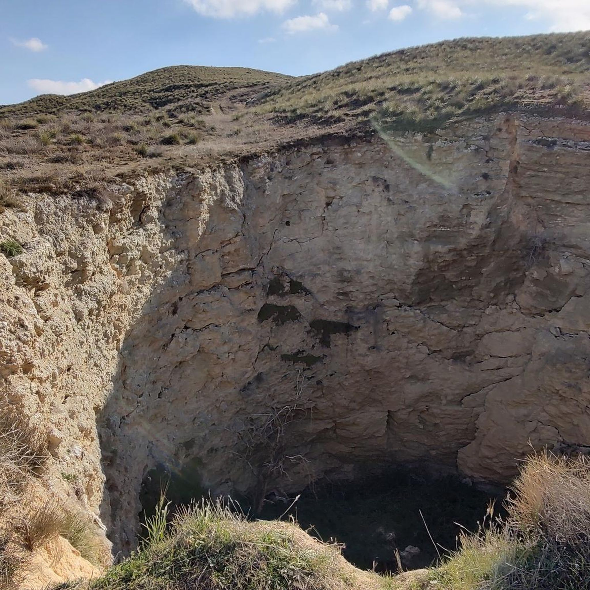
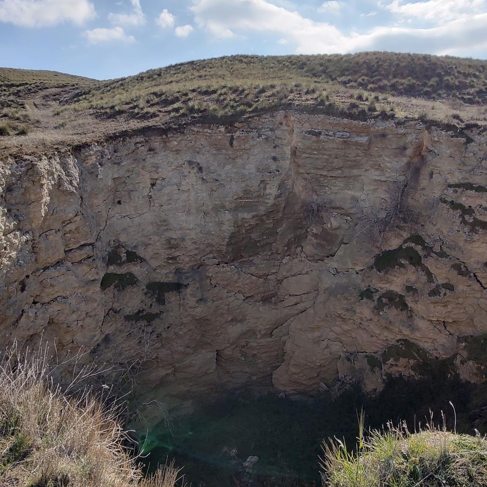
Yes, several routes pass by notable landmarks. You might encounter historical sites such as the Royal Palace of Aranjuez or the Titulcia Main Square. Natural highlights include the Laguna Seca de las Esteras or the Chinchón Sinkhole.
Are the gravel bike routes around Villaconejos typically loop trails?
Many of the gravel bike routes in the Villaconejos area are designed as loops, offering a continuous journey without needing to retrace your path. Examples include the ⛰️ END La Marañosa – Toledo Bridge loop from Ciempozuelos and the Royal Palace of Aranjuez – Old Bridge of Titulcia loop from Ciempozuelos.
What is the best season for gravel biking in Villaconejos?
Given the region's climate, spring and autumn are generally the most pleasant seasons for gravel biking in Villaconejos. Temperatures are milder, and the natural landscape is often at its most vibrant. Summers can be very hot, and winters can be chilly, so plan accordingly.
Are there any specific scenic viewpoints along the gravel trails?
While specific named viewpoints are not always marked, many routes offer expansive views across open landscapes and river valleys. The View of Ambite – Tajuña Greenway Section loop from Ciempozuelos, for instance, is known for its broad vistas along the Tajuña Greenway.
What do other gravel bikers enjoy most about the trails in Villaconejos?
The komoot community frequently praises the varied terrain and the opportunity to explore historical areas and river sections. Riders appreciate the challenging nature of the routes and the sense of adventure offered by the long distances and significant elevation gains.
Are there any routes that follow greenways or dedicated bike paths?
Yes, some routes incorporate sections along established greenways. For example, the View of Ambite – Tajuña Greenway Section loop from Ciempozuelos features parts of the Tajuña Greenway, providing a smoother riding experience in those segments.
What are the typical starting points for gravel bike trails in the Villaconejos area?
Many of the popular gravel bike routes in this region, such as the Old Bridge of Titulcia – Titulcia Main Square loop and the La Marañosa Climb – Jarama River Irrigation Canal loop, commonly start from Ciempozuelos, a nearby town that serves as a convenient access point for many of these longer tours.
Most popular attractions around Villaconejos

Get inspired with the komoot mobile app


Explore more
Browse the best Gravel rides in other regions.
