The best gravel rides around Chinchilla De Monte-Aragón
3.5
(2)
142
riders
20
rides
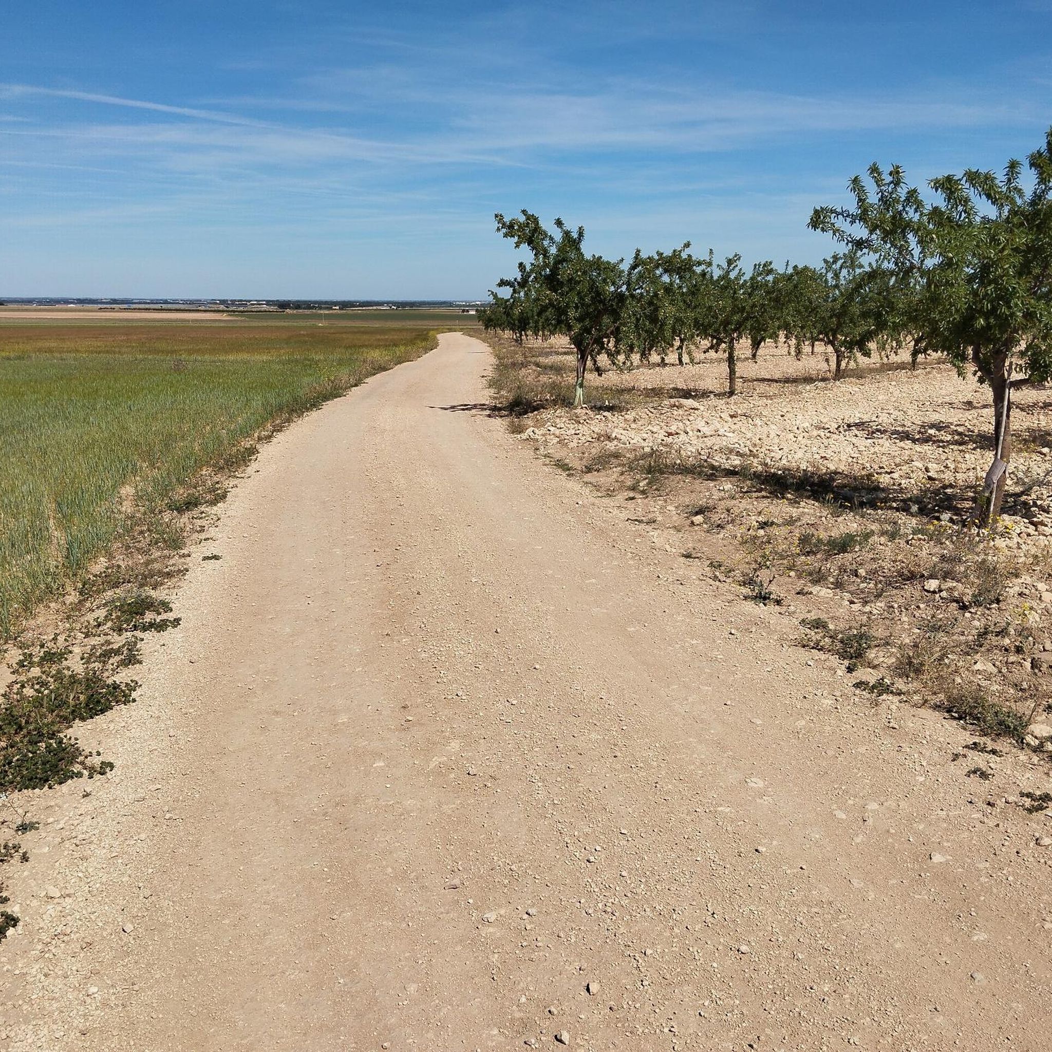
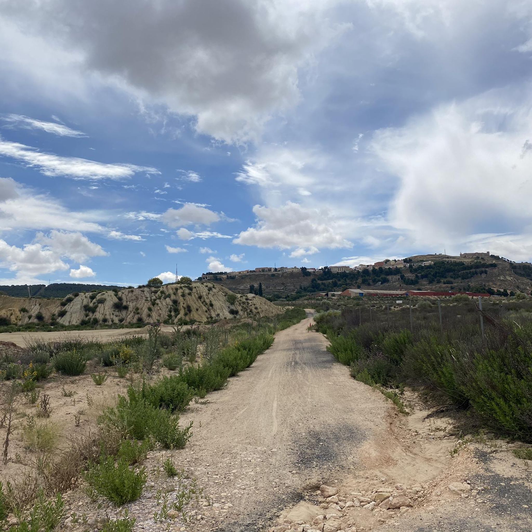
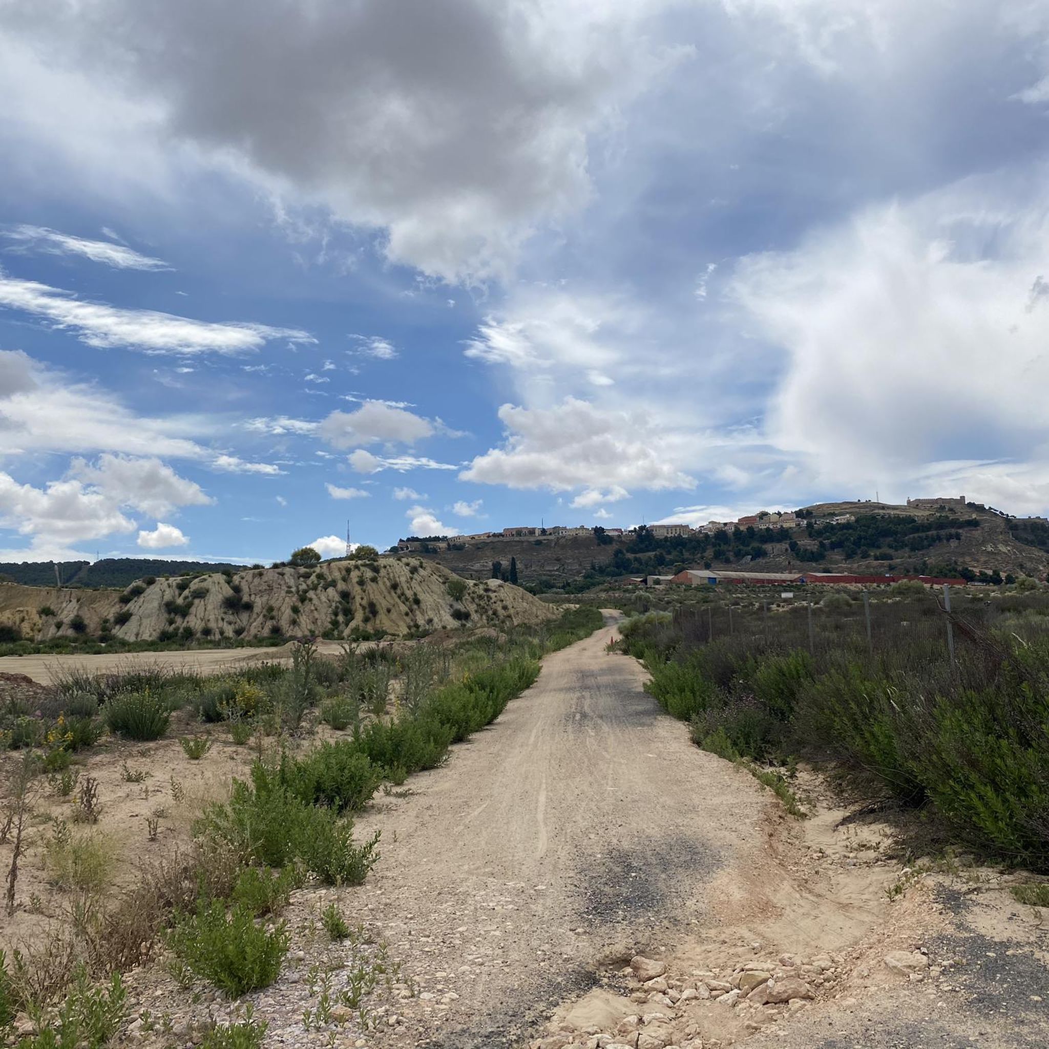
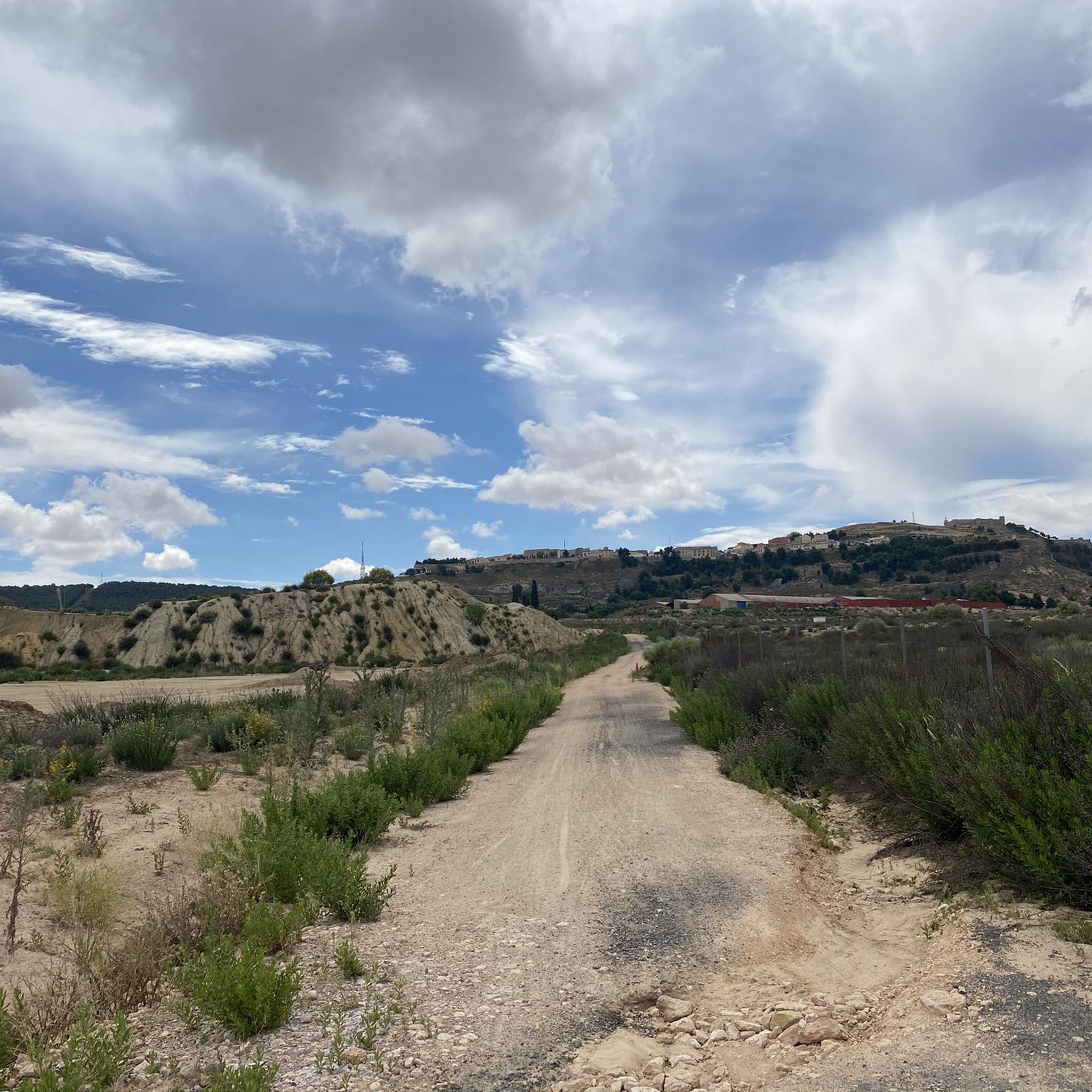
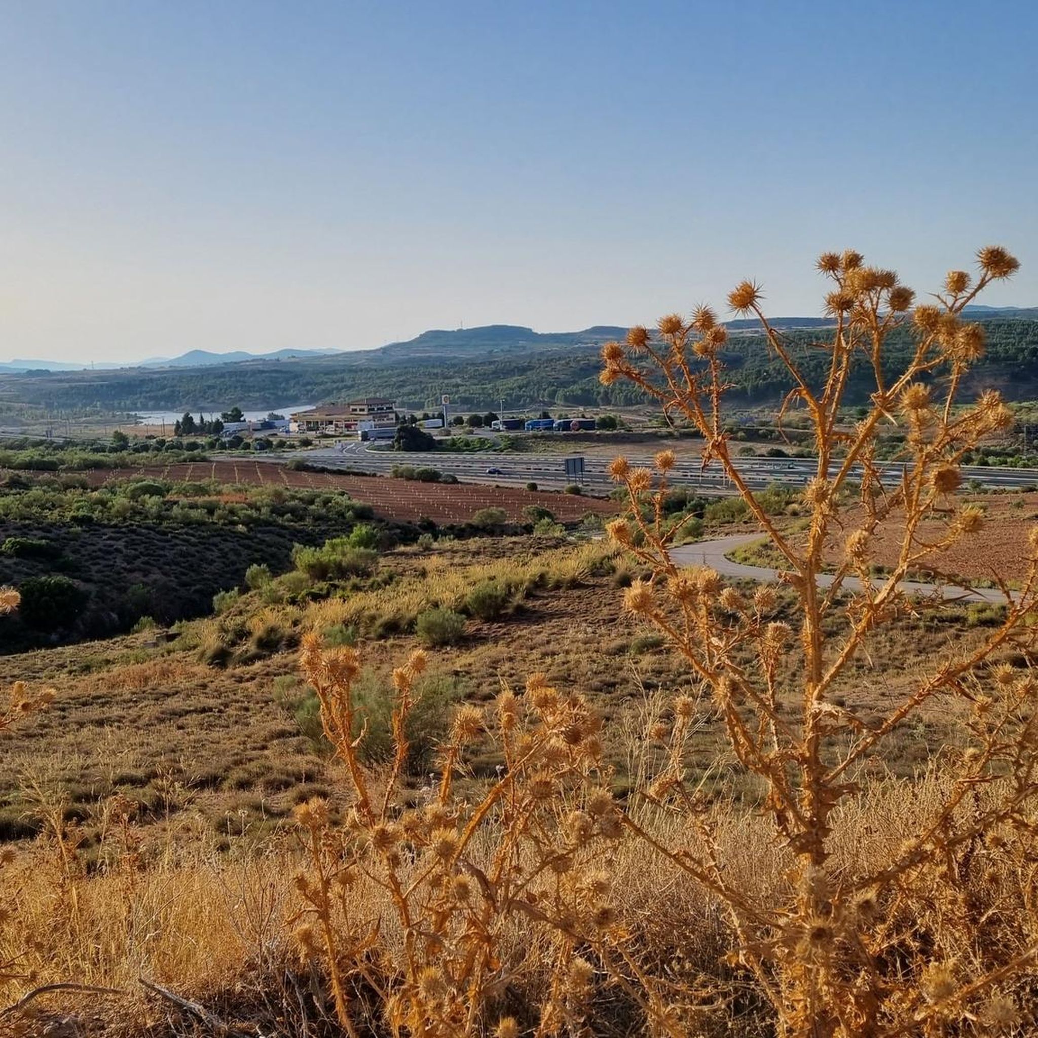
Gravel biking around Chinchilla De Monte-Aragón offers diverse landscapes, from the vast La Mancha plains to the elevated páramos of the Sierra Procomunal. The region features a mix of fertile orchards, semi-arid terrains, and historic areas. Elevations range from 700 to over 1000 meters above sea level, providing varied gradients for gravel cyclists. The town itself, perched on a hill, offers panoramic views and integrates cultural landmarks into the natural environment.
Best gravel bike trails around Chinchilla De Monte-Aragón
- The…
Last updated: May 22, 2026
5.0
(1)
44
riders
Hard gravel ride. Very good fitness required. Mostly paved surfaces. Suitable for all skill levels.
2.0
(1)
25
riders
46.8km
03:04
390m
390m
Moderate gravel ride. Good fitness required. Mostly paved surfaces. Suitable for all skill levels.

Sign up for free
18
riders
Moderate gravel ride. Good fitness required. Mostly paved surfaces. Suitable for all skill levels.
8
riders
63.2km
04:45
290m
290m
Moderate gravel ride. Good fitness required. Mostly paved surfaces. Suitable for all skill levels.
12
riders
60.3km
04:04
420m
420m
Moderate gravel ride. Good fitness required. Mostly paved surfaces. Suitable for all skill levels.
Get access to more routes and recommendations from other explorers.
Sign up for free
Already have an account?
Our route recommendations are based on thousands of hikes, rides, and runs completed by other people on komoot.
Start today with a free account
Your next adventure awaits.
Login or Signup
Popular around Chinchilla De Monte-Aragón

Other adventures around Chinchilla De Monte-Aragón

Tips from the Community

The Mikado 141F-2415 locomotive is a preserved steam locomotive on display as a monument in Albacete's Linear Park, very close to the Flour Mill in the Industria neighborhood. It is located within the Linear Park, along the Paseo de la Cuba section, an area formerly occupied by the railway tracks before they were buried underground.
1
0
The Sierra de Alcaraz Greenway is part of a spectacular route that follows the old, unfinished Baeza-Utiel railway line. This greenway, ideal for hiking and cycling, stretches from Albacete to the town of Alcaraz, passing through a wide variety of landscapes, from agricultural plains to mountainous areas.
4
0


Attention. On April 8, the Albacete-Alcaraz greenway was closed due to highway construction in Balazote. A metal fence completely blocks the road, and I couldn't continue because no one could tell me how many kilometers of the stretch were closed to traffic.
2
0

It is worth deviating a few meters from the path and approaching this viewpoint. The views are incredible.
0
0

The Camporrosso Industrial Park has more than one million square meters. It was raised in the middle of the crisis of the 90s. From this point, if you continue straight to the left there is a path that leads to Chinchilla along roads. If you turn right you continue along the streets of the industrial estate.
0
0
Famous antennas of Chinchilla and point from where you can enjoy good views of the town and Albacete in the background
0
0
Frequently Asked Questions
How many gravel bike routes are available around Chinchilla De Monte-Aragón?
There are over 15 gravel bike routes in the Chinchilla De Monte-Aragón area, offering a variety of distances and difficulty levels for cyclists to explore.
What kind of landscapes can I expect to see on gravel bike trails in Chinchilla De Monte-Aragón?
You'll experience diverse landscapes, from the expansive La Mancha plains to the elevated páramos of the Sierra Procomunal. Routes often feature a mix of fertile orchards, semi-arid terrains, and historic areas, with elevations ranging from 700 to over 1000 meters above sea level.
Are there any family-friendly gravel bike routes in the area?
Yes, many of the routes are moderate in difficulty, making them suitable for families or those looking for a less strenuous ride. For example, the The Slides – Sierra Peccati d'Attore Trail loop from Vialia Estación Albacete-Los Llanos is a moderate 28.6-mile (46.0 km) path that offers a mix of unpaved and paved surfaces through scenic terrain.
What are some scenic gravel routes with good viewpoints?
Many routes offer excellent viewpoints, especially those that climb to higher elevations. The town of Chinchilla De Monte-Aragón itself is perched on a hill, providing sweeping panoramic views of the vast La Mancha plains. Routes passing through the Sierra Procomunal also offer elevated perspectives.
Can I find circular gravel bike routes in Chinchilla De Monte-Aragón?
Yes, most of the gravel bike routes in the area are designed as loops, allowing you to start and finish at the same point. An example is the Las Mariquillas – Town Hall Square loop from Vialia Estación Albacete-Los Llanos, a 39.2-mile (63.0 km) trail that takes you through varied landscapes.
Are there any historical landmarks or attractions along the gravel bike trails?
Absolutely. Many routes pass by or near significant historical sites. You can explore the prominent Chinchilla Castle, a 15th-century fortress offering commanding views. The historic medieval quarter, with its narrow streets and unique cave houses, is also a fascinating area to cycle through. Sections of the ancient Camino de Levante pilgrimage route also traverse the region.
What is the best time of year for gravel biking in Chinchilla De Monte-Aragón?
The moderate weather conditions during certain seasons, typically spring and autumn, enhance the comfort for undertaking longer and more challenging rides. Summers can be hot, and winters can be cooler, so checking the forecast is always recommended.
Are there options for advanced gravel bikers looking for a challenge?
Yes, for experienced riders seeking a more demanding adventure, routes like Entering Albacete – Tunnels loop from Vialia Estación Albacete-Los Llanos offer a significant challenge. This difficult 86.0-mile (138.5 km) trail explores the wider Albacete area with considerable elevation gain, taking approximately 10 hours to complete.
What do other gravel bikers enjoy most about the routes in Chinchilla De Monte-Aragón?
The area is highly rated by the komoot community, with an average score of 5.0 stars. Reviewers often praise the diverse terrain, from plains to elevated páramos, and the opportunity to combine outdoor adventure with cultural exploration of historic sites like Chinchilla Castle.
Are there any routes that explore natural reserves or unique ecosystems?
Yes, some cycling routes in the vicinity include loops that explore the unique Laguna Salada de Pétrola Nature Reserve, offering opportunities to appreciate local wildlife and natural beauty, including endemic flora like the Mugrón raindrop.
Is there a route that specifically highlights Chinchilla Castle?
Yes, the Chinchilla Castle – Sierra Peccati d'Attore Trail loop from Vialia Estación Albacete-Los Llanos is a moderate 30.4-mile (48.9 km) route that takes you past this iconic landmark, allowing you to enjoy its historical significance and the views it offers.
What is the typical duration for a moderate gravel bike ride in this region?
Moderate routes vary in length and duration. For instance, the View of Alcalá del Júcar – Sierra Peccati d'Attore Trail loop from Vialia Estación Albacete-Los Llanos is a 26.2-mile (42.1 km) route that typically takes around 2 hours and 35 minutes to complete, offering a good balance of distance and time.
Most popular routes around Chinchilla De Monte-Aragón
Most popular attractions around Chinchilla De Monte-Aragón

Get inspired with the komoot mobile app


