The best gravel rides around Sant Antoni De Vilamajor
4.5
(72)
1,849
riders
147
rides
Gravel biking around Sant Antoni De Vilamajor offers diverse terrain at the foot of the Montseny massif, situated near the Montnegre i el Corredor Natural Park and Montseny Natural Park. The region features extensive wooded trails, agricultural plains, and significant elevation changes. Riders can expect a mix of paved and unpaved surfaces, including compacted gravel, with panoramic views of the Maresme coast and the Montseny massif. Gentle mountain passes like Parpers Pass connect various routes, providing options for both leisurely…
Last updated: May 12, 2026
4.9
(7)
50
riders
51.0km
03:25
560m
560m
Hard gravel ride. Very good fitness required. Mostly paved surfaces. Suitable for all skill levels.
19
riders
81.0km
06:10
1,520m
1,520m
Hard gravel ride. Very good fitness required. Mostly paved surfaces. Suitable for all skill levels.

Sign up for free
4.0
(1)
13
riders
70.5km
04:54
720m
720m
Hard gravel ride. Very good fitness required. Mostly paved surfaces. Suitable for all skill levels.
5.0
(2)
22
riders
45.0km
03:15
730m
730m
Hard gravel ride. Very good fitness required. Mostly paved surfaces. Suitable for all skill levels.
4.5
(2)
23
riders
38.0km
02:38
180m
180m
Moderate gravel ride. Good fitness required. Mostly paved surfaces. Suitable for all skill levels.
Get access to more routes and recommendations from other explorers.
Sign up for free
Already have an account?
Our route recommendations are based on thousands of hikes, rides, and runs completed by other people on komoot.
Start today with a free account
Your next adventure awaits.
Login or Signup
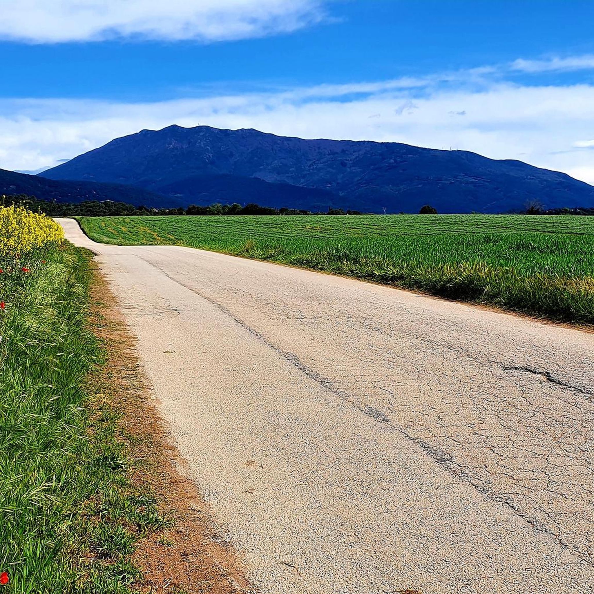
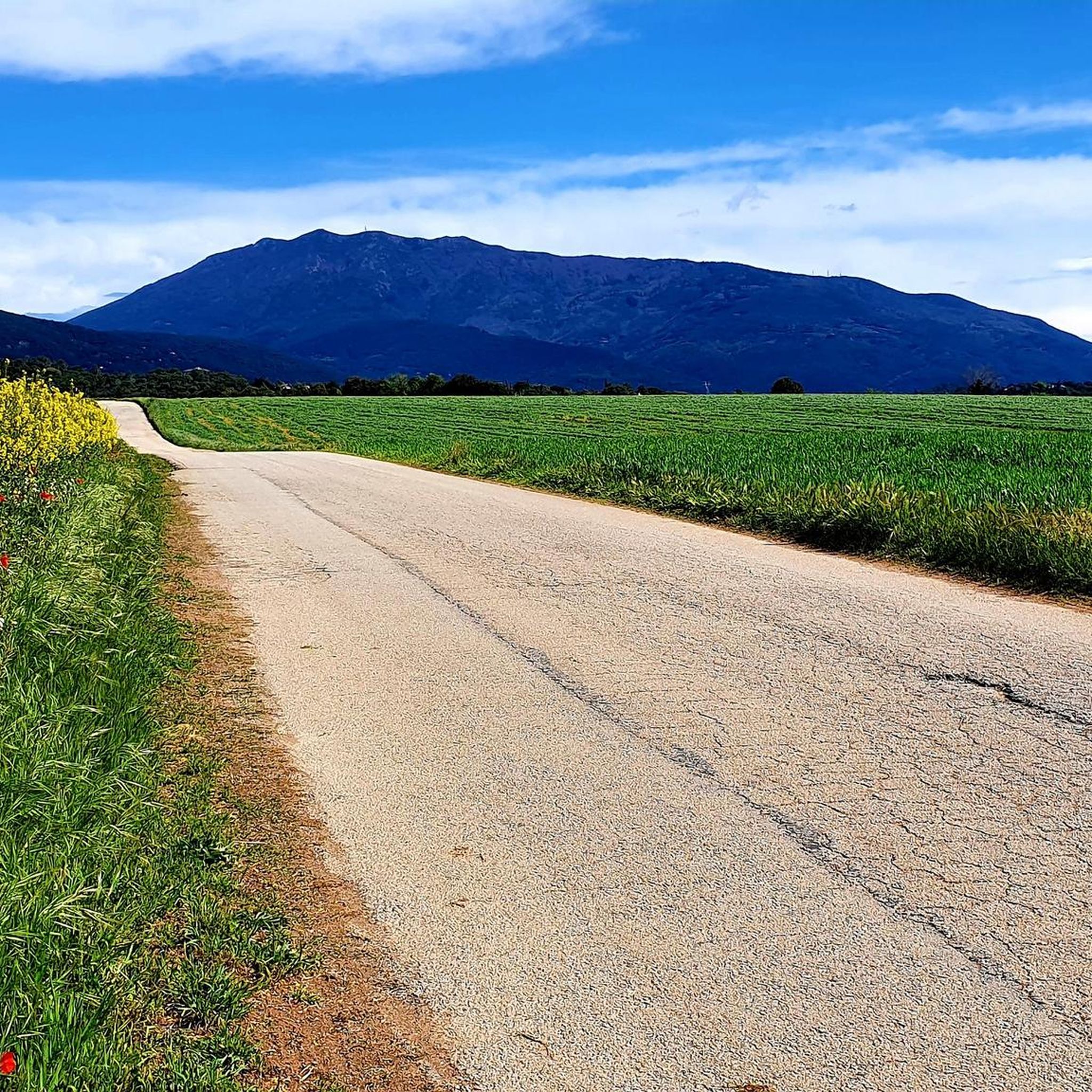
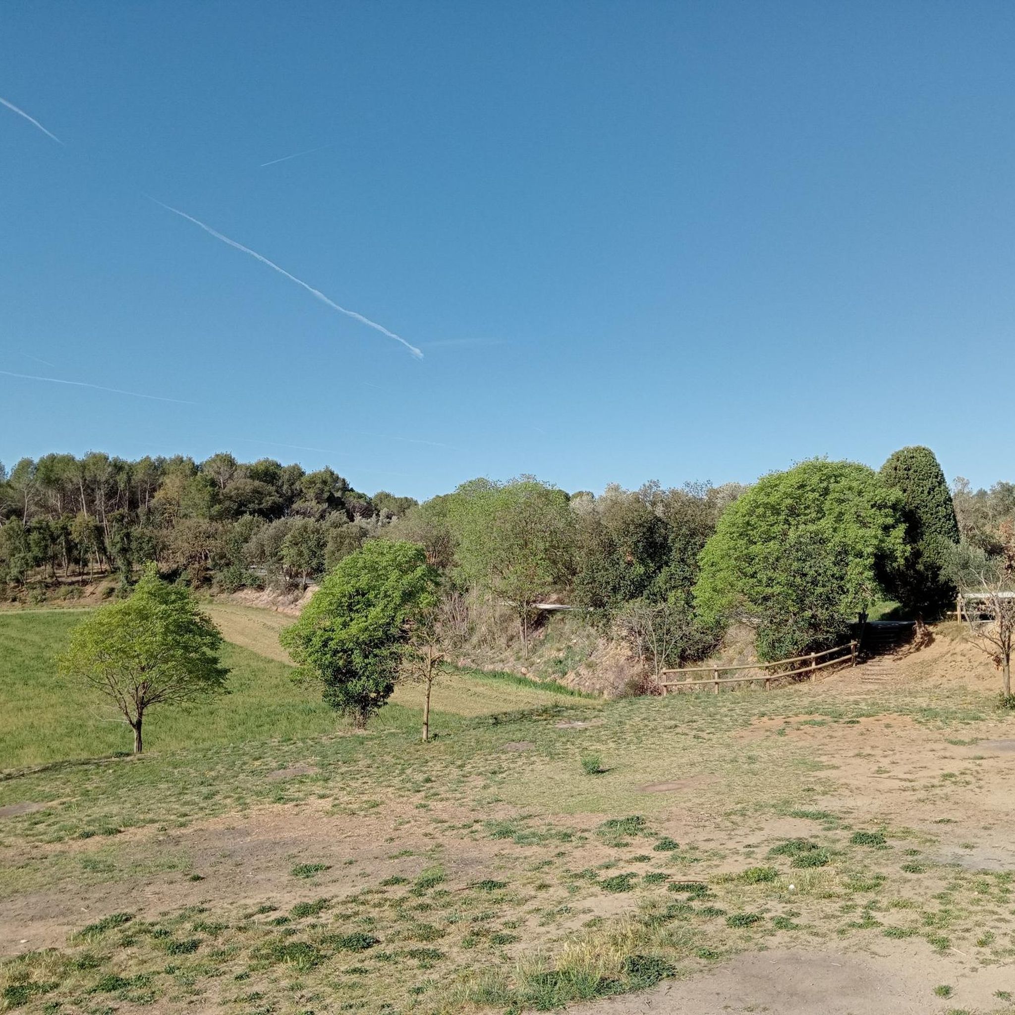
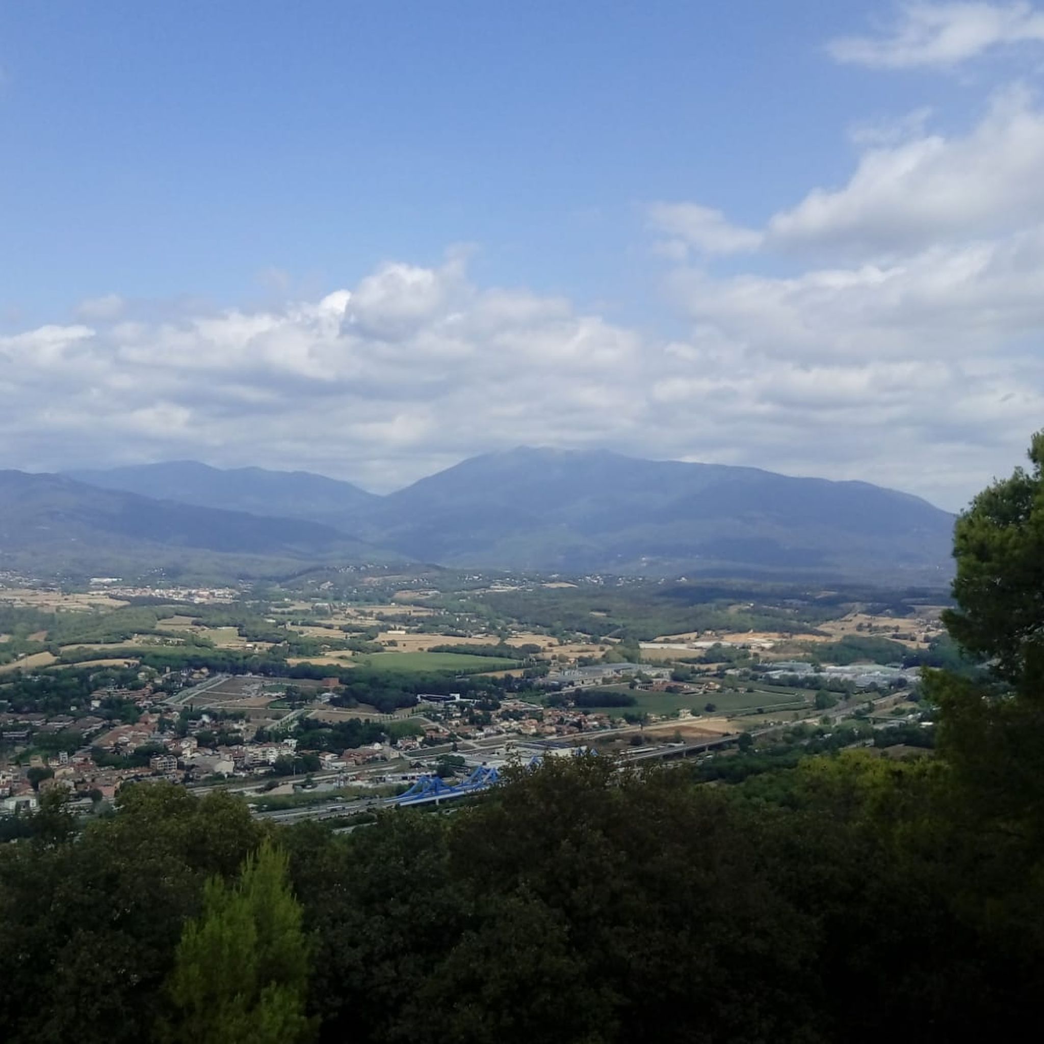
Tips from the Community

Esglèsia romànica a prop del cim del Tagamanent.
0
0
Camí paral·lel al riu Congost que permet anar des de La Garriga fins al Tagamanent sense haver de passar per l'autovia, nomes gravel o btt.
0
0

Very nice. It looks so much better than it did years ago.
1
0

A 10th-century fortress that controlled the passes between Montseny and Vallès. It had a main hall, a kitchen, and a cistern because there is no water at the top. Part of the castle was damaged by a medieval landslide, and from then on it functioned more as a lookout point and toll collection point than as a residence. It was also part of the fire and smoke signal network between the valleys. Abandoned since the 15th century, today only walls and sweeping vistas remain, explaining its strategic importance.
1
0


A fountain that invites you to linger.
3
0

Parking is difficult in the area after 10:00. The area is beautiful and has great views. You can take a practically flat route (Collformic to the ruins of El Café, but it's not circular), a more challenging one like Matagalls. And many more!
0
0
About 300 meters before reaching the hermitage along the track from Òrrius, on the left, dry stone walls are preserved, the remains of a shelter used by Republican militiamen during the Civil War. It's not signposted, but it's visible if you get off your bike and explore a bit. The surroundings are very peaceful and steeped in history: the hermitage was also used as a temporary shelter.
1
0
Frequently Asked Questions
How many gravel bike trails are there around Sant Antoni De Vilamajor?
There are over 150 gravel bike routes available around Sant Antoni De Vilamajor. These range from easy to difficult, with a significant number of challenging options for experienced riders.
What kind of terrain can I expect on gravel bike routes in this region?
The region offers diverse terrain, from extensive wooded trails within the Montnegre i el Corredor Natural Park to the higher elevations of Montseny Natural Park. You'll encounter a mix of paved and unpaved surfaces, including compacted gravel, with options for significant elevation gain and gentle mountain passes like Parpers Pass.
Are there any family-friendly or easy gravel routes near Sant Antoni De Vilamajor?
While many routes are rated difficult, there are a few easier options available. The region's diverse network includes routes suitable for different skill levels, though specific family-friendly routes would typically involve less elevation and shorter distances. You can find 2 easy and 52 moderate routes to explore.
What are some notable natural features or landmarks I can see along the trails?
Gravel routes often pass through stunning natural areas. You can explore the Montnegre i el Corredor Natural Park with its panoramic views of the Maresme coast, or the breathtaking landscapes of Montseny Natural Park. Highlights include the tranquil Corredor Sanctuary, the scenic Vallforners Reservoir, and historical sites like La Torrassa del Moro.
What do other gravel bikers say about the routes in Sant Antoni De Vilamajor?
The routes in Sant Antoni De Vilamajor are highly rated by the komoot community, with an average score of 4.5 stars from over 60 reviews. Riders often praise the varied terrain, the beautiful natural park settings, and the challenging yet rewarding climbs.
Are there any circular gravel bike routes available?
Yes, many of the gravel routes in the area are designed as loops, allowing you to start and finish in the same location. For example, the Parpers Pass – Cornice Viewpoint loop from Cardedeu is a popular circular option, as is the Coll Formic Pass (1,145 m) – Pla de la Calma loop from Cardedeu.
What is the best time of year for gravel biking in Sant Antoni De Vilamajor?
The region generally offers good conditions for cycling for much of the year. Spring and autumn typically provide pleasant temperatures and lush scenery. While specific climate data isn't provided, the Mediterranean climate suggests mild winters and warm summers, making early mornings or late afternoons ideal during hotter months.
Are there routes that offer significant elevation gain for advanced riders?
Absolutely. The area is known for its challenging routes with significant elevation gain, particularly those venturing into the Montseny Natural Park. For instance, the Coll Formic Pass (1,145 m) – Pla de la Calma loop from Cardedeu involves over 1,500 meters of ascent, making it suitable for very good fitness and advanced riding skills.
Can I find routes that explore rural landscapes and farmhouses?
Yes, some routes specifically highlight the rural charm of the area. The Can Colomer farmhouse – Via del Colesterol LaGarriga loop from Cardedeu is an excellent example, taking you through the picturesque countryside and past traditional farmhouses surrounding Sant Antoni De Vilamajor.
Are there any routes that follow river promenades?
Yes, you can find routes that incorporate river sections. The Besòs River Promenade – Torre Marimon loop from Llinars del Vallès offers a ride along the Besòs River, providing a different scenic experience compared to the mountain trails.
What are the typical distances and durations for gravel rides here?
Routes vary widely. You can find shorter rides, but many popular gravel tours are quite substantial. For example, the Parpers Pass – Cornice Viewpoint loop from Cardedeu is nearly 70 km and takes over 6 hours, while the Coll Formic Pass (1,145 m) – Pla de la Calma loop from Cardedeu is over 80 km and can take more than 7 hours.
Most popular routes around Sant Antoni De Vilamajor
Most popular attractions around Sant Antoni De Vilamajor

Get inspired with the komoot mobile app


Explore more
Browse the best Gravel rides in other regions.
