The best gravel rides around Ossó De Sió
4.4
(9)
364
riders
56
rides
Gravel biking around Ossó De Sió features a landscape characterized by rolling hills, agricultural plains, and historical structures. The region includes varied terrain, from routes along the Canal d'Urgell to paths connecting ancient castles and abandoned villages. Elevation changes are notable on many routes, offering challenging climbs and descents. The area provides a mix of open country and paths that traverse rural settings.
Best gravel bike trails around Ossó De Sió
- The most popular gravel bike trail is Abandoned Village…
Last updated: May 11, 2026
5.0
(5)
262
riders
Hard gravel ride. Very good fitness required. Mostly paved surfaces. Suitable for all skill levels.
10
riders
75.3km
05:42
710m
710m
Hard gravel ride. Very good fitness required. Mostly paved surfaces. Suitable for all skill levels.

Sign up for free
5.0
(1)
13
riders
60.3km
04:31
530m
530m
Hard gravel ride. Very good fitness required. Mostly paved surfaces. Suitable for all skill levels.
3.0
(1)
17
riders
Hard gravel ride. Very good fitness required. Mostly paved surfaces. Suitable for all skill levels.
5
riders
46.1km
03:38
480m
480m
Hard gravel ride. Very good fitness required. Mostly paved surfaces. Suitable for all skill levels.
Get access to more routes and recommendations from other explorers.
Sign up for free
Already have an account?
Our route recommendations are based on thousands of hikes, rides, and runs completed by other people on komoot.
Start today with a free account
Your next adventure awaits.
Login or Signup

Tips from the Community

Small Romanesque church in the town of Santa Maria de Montmagrasell.
0
0
Sports area for kayaking and rafting on the Segre River, near the Roca del Call Park, in the town of Ponts. It is also the starting point of the Ranxo Gravel walk.
0
0
Small wooden bridge that allows you to cross the Llobregós at the level of its confluence with the Segre River.
0
0
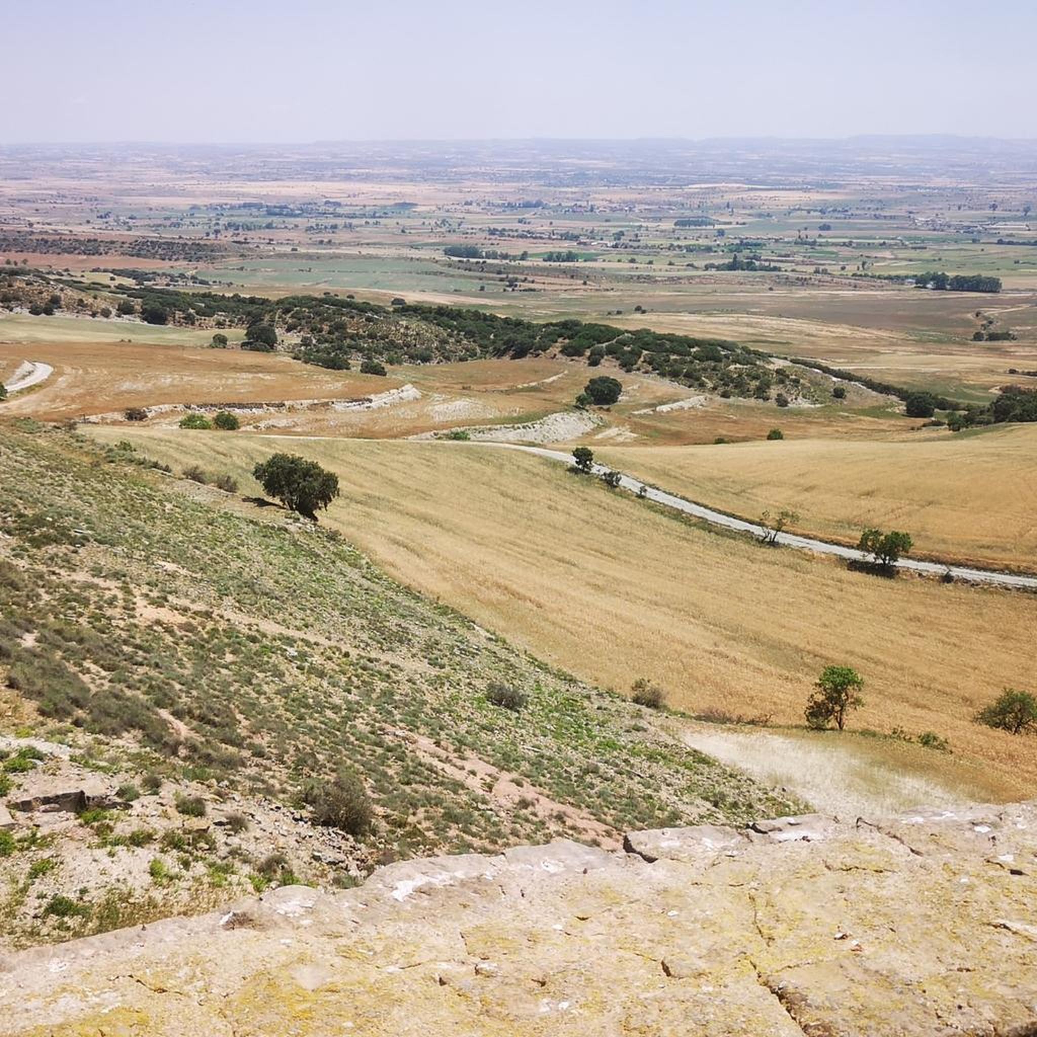
Point with a panoramic view of the small town of Florejacs.
0
0
It begins on the Segre River downstream from the town of Ponts and after traveling about 144 km it ends its route in the town of Montoliu de Lleida.
0
0
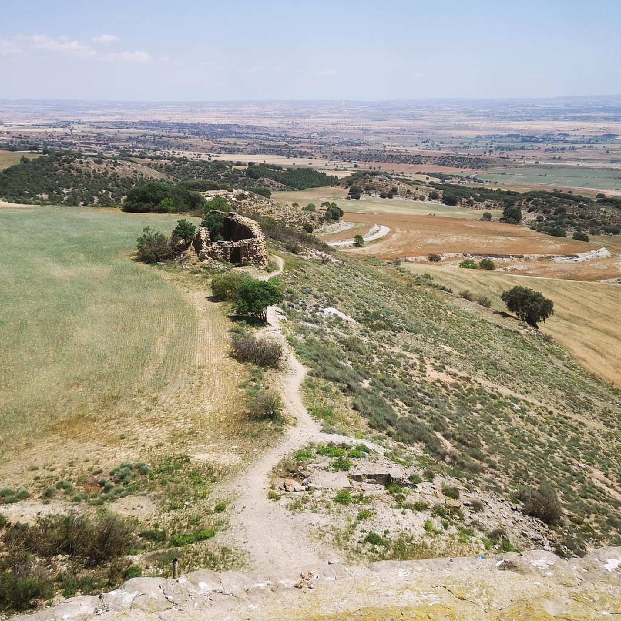
Small town located on top of a hill, abandoned, and part of the La Noguera region.
0
0

Agramunt is best known for its traditional nougat and chocolate.
0
0

The Estany d'Ivars Vila-sana is a perfect place to stop over with spectacular views, but you have to be careful with the people walking around there.
0
0
Frequently Asked Questions
What kind of terrain can I expect on gravel bike trails around Ossó De Sió?
The region offers a diverse landscape characterized by rolling hills, expansive agricultural plains, and historical structures. You'll encounter varied terrain, including paths along the Canal d'Urgell and routes connecting ancient castles and abandoned villages. Many trails feature notable elevation changes, providing both challenging climbs and descents through open country and rural settings.
Are there any easy gravel bike trails suitable for beginners in Ossó De Sió?
While many routes in the area are considered challenging, there are options for different ability levels. The komoot community has identified 3 easy routes. For a less demanding experience, look for routes with minimal elevation gain, often found along the Canal d'Urgell.
What are some challenging gravel bike routes in the Ossó De Sió area?
Ossó De Sió is known for its more demanding gravel routes. For a significant challenge, consider the Abandoned Village of Claret – Start of the Canal d'Urgell loop from Montfalcó d'Agramunt, which covers over 100 km with substantial elevation gain. Another difficult option is the Church of Mont-Roig – Pilar de Almenara Tower loop from Agramunt, connecting historical landmarks with panoramic views.
Are there circular gravel bike routes available in Ossó De Sió?
Yes, many of the gravel bike routes in Ossó De Sió are designed as loops, allowing you to start and finish at the same point. Examples include the Castillo de Montcortés – Castell de l'Aranyó loop from Tàrrega and the Third Canal of Urgell Path – Ivars and Vila-sana Pond loop from Tàrrega.
What historical sites or landmarks can I see along the gravel bike trails?
The region is rich in history. Many routes pass by or near significant landmarks. You can explore sites like the Pilar de Almenara Tower, the Ruins of San Vicente de Almenara, and various castles such as Florejacs Castle, Castell de l'Aranyó, and Castillo de Montcortés. The Castillo de Montcortés – Castell de l'Aranyó loop from Concabella is a great option for castle enthusiasts.
What is the best time of year for gravel biking in Ossó De Sió?
Given the Mediterranean climate of the region, spring (April to June) and autumn (September to October) are generally the most pleasant times for gravel biking. Temperatures are milder, and the landscape is often vibrant. Summers can be very hot and dry, while winters are mild but can be damp.
How long do gravel bike trails in Ossó De Sió typically take to complete?
The duration varies significantly depending on the route's length and difficulty. For example, the Castillo de Montcortés – Castell de l'Aranyó loop from Tàrrega typically takes around 5 hours and 17 minutes, while longer and more challenging routes like the Abandoned Village of Claret – Start of the Canal d'Urgell loop from Montfalcó d'Agramunt can take up to 7 hours and 30 minutes.
What do other gravel bikers enjoy most about the routes in Ossó De Sió?
The gravel biking routes in Ossó De Sió are highly rated by the komoot community, with an average score of 4.2 stars from over 10 reviews. Riders often praise the unique blend of historical sites, varied terrain, and the peaceful rural landscapes that define the area.
Are there routes with significant elevation gain for a more strenuous workout?
Absolutely. Many routes in Ossó De Sió feature notable elevation changes. For instance, the Abandoned Village of Claret – Start of the Canal d'Urgell loop from Montfalcó d'Agramunt includes over 1200 meters of ascent, providing a demanding experience for those seeking a challenging climb.
How many gravel bike trails are available in the Ossó De Sió region?
There are over 60 gravel bike routes recorded in the Ossó De Sió region on komoot, offering a wide variety of options for different skill levels and preferences.
Where can I find parking when starting a gravel bike tour in Ossó De Sió?
Many routes start from towns and villages in the region, such as Montfalcó d'Agramunt, Agramunt, Tàrrega, or Concabella. These locations typically offer public parking facilities, making them convenient starting points for your gravel biking adventure.
Most popular routes around Ossó De Sió
Most popular attractions around Ossó De Sió

Get inspired with the komoot mobile app


Explore more
Browse the best Gravel rides in other regions.
