The best gravel rides around Coirós
4.9
(17)
152
riders
5
rides
Gravel biking around Coirós features a landscape shaped by river valleys and reservoirs, offering varied terrain for cyclists. The region includes areas around the Mero and Sarela rivers, as well as the Cecebre Reservoir. Riders can expect a mix of paths that traverse natural parklands and rural areas, with routes often including significant elevation changes. The area provides a diverse environment for gravel biking, from moderate loops to more challenging long-distance routes.
Best gravel bike trails around Coirós
- The most…
Last updated: October 5, 2026
4.6
(9)
83
riders
46.7km
02:38
340m
340m
Moderate gravel ride. Good fitness required. Mostly paved surfaces. Suitable for all skill levels.
5.0
(7)
38
riders
30.3km
01:32
180m
180m
Moderate gravel ride. Good fitness required. Mostly paved surfaces. Suitable for all skill levels.

11
riders
Hard gravel ride. Very good fitness required. Mostly paved surfaces. Suitable for all skill levels.
5
riders
56.9km
03:29
720m
720m
Hard gravel ride. Very good fitness required. Mostly paved surfaces. Suitable for all skill levels.
3
riders
38.9km
03:20
780m
780m
Hard gravel ride. Very good fitness required. Mostly paved surfaces. Suitable for all skill levels.
Our route recommendations are based on thousands of hikes, rides, and runs completed by other people on komoot.
Start today with a free account
Your next adventure awaits.

Tips from the Community

My friends, the Burgo Bridge is not a Roman bridge, its origin is medieval and dates back to the twelfth century, please let's be serious with the information.
1
0

Very quiet place and good for riding slowly or pushing it if you want.
0
0

Quiet place, without traffic and with good views
0
0

The Abegondo-Cecebre Reservoir was built in 1975 to supply fresh water to the city of La Coruña. The surroundings of the reservoir are an attractive natural park
1
0
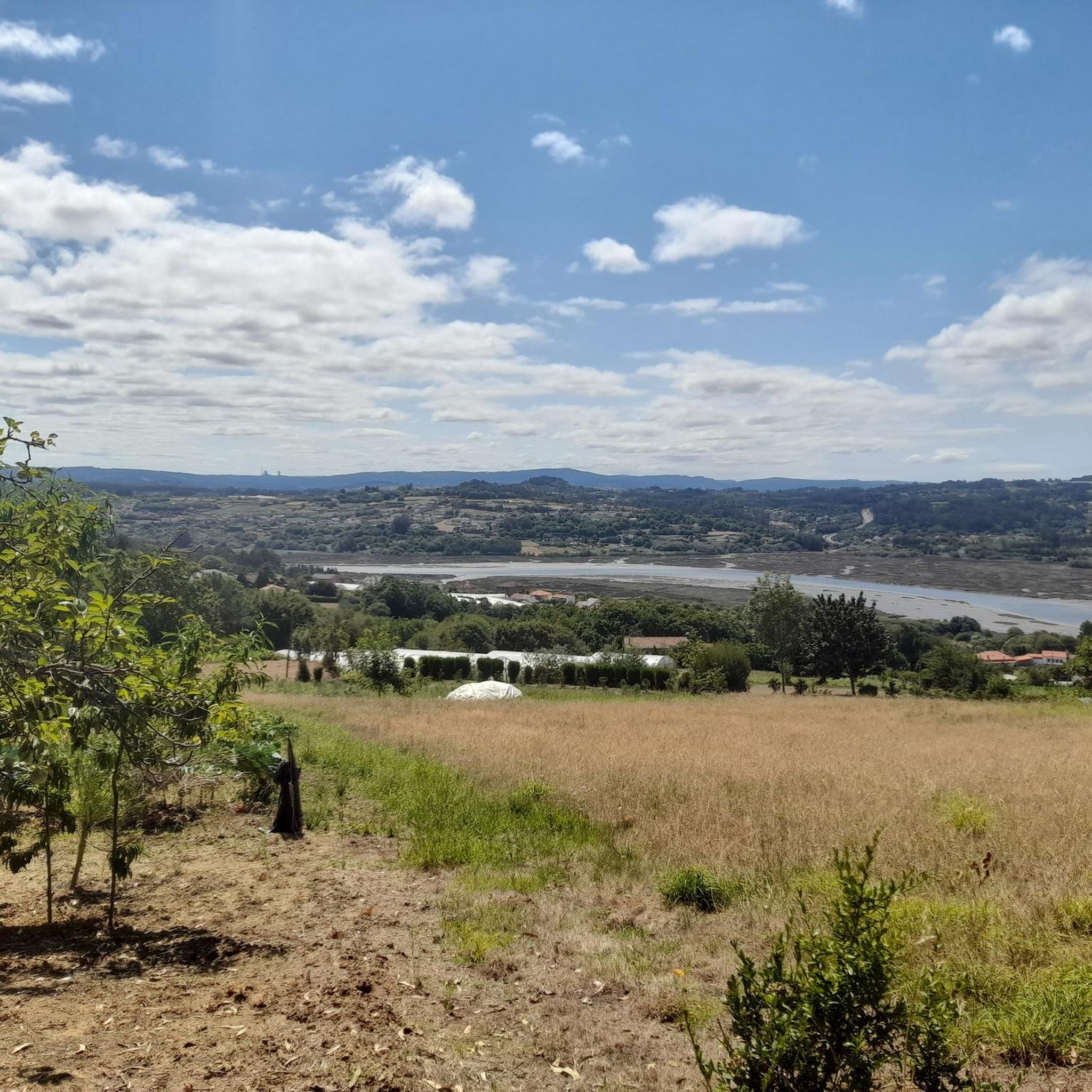
Beautiful views of the natural beauty of the Cecebre Reservoir. Nice easy walk in nature
3
0
Small beach for wild swimming on a warm day
2
1

Frequently Asked Questions
How many gravel bike trails are available in Coirós?
Coirós offers a selection of 7 gravel bike routes, ranging from moderate to difficult, providing diverse options for exploring the region's river valleys and reservoir areas.
What is the general difficulty level of gravel biking in Coirós?
The gravel biking routes in Coirós are predominantly challenging, with 5 out of 7 routes rated as difficult. These often feature significant elevation gains and varied terrain. There are also 2 moderate routes available for those seeking a less strenuous ride.
Are there any beginner-friendly gravel routes in Coirós?
While many routes in Coirós are rated difficult, there are moderate options available. For example, the Cecebre Reservoir – View of Embalse de Cecebre loop from ENIL Ribeiras do Mero - Barcés is a moderate 15.6-mile (25.2 km) trail that provides a good introduction to the area's gravel biking.
What are the typical distances and elevation gains for gravel routes in Coirós?
Gravel routes in Coirós vary significantly. Distances can range from approximately 15.6 miles (25.2 km) for moderate loops to over 85 miles (137 km) for longer, more challenging rides. Elevation gains also vary, with difficult routes often featuring over 2,000 meters (6,500 feet) of ascent, while moderate routes might have around 250 meters (820 feet).
Are there loop routes available for gravel biking in Coirós?
Yes, most of the gravel bike trails in Coirós are designed as loops, allowing you to start and finish at the same point. Examples include the Mero River Trail – Cecebre Reservoir loop from Betanzos-Cidade and the View of Embalse de Cecebre – Cecebre Reservoir loop from Betanzos-A Infesta.
What kind of terrain can I expect on Coirós gravel bike trails?
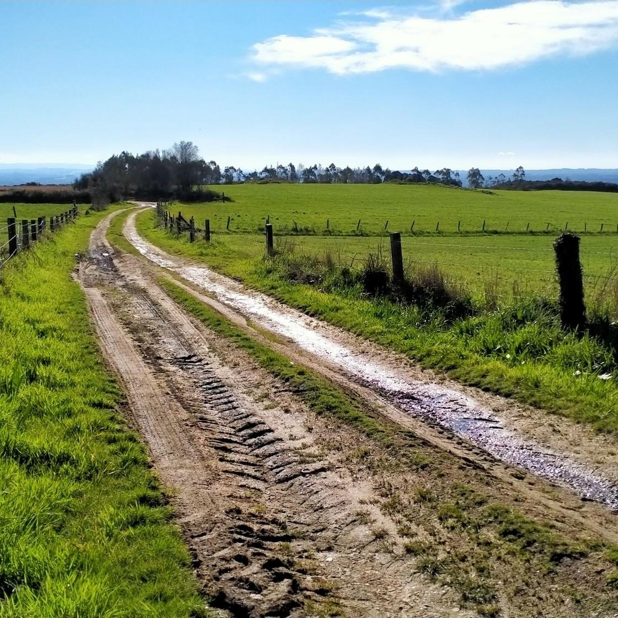
The terrain around Coirós is shaped by river valleys and reservoirs, offering a mix of surfaces. You can expect gravel paths, forest tracks, and some paved sections, often traversing natural parklands and rural areas. Routes frequently include significant elevation changes, providing a diverse and engaging riding experience.
What attractions or points of interest can I see along the gravel bike trails in Coirós?
Many routes in Coirós offer scenic views and pass by notable attractions. You can explore the Mero River Trail, enjoy views of the Cecebre Reservoir, or even pass by historical structures like Ponte Vella and Pedrido Bridge. The Ría de Betanzos Viewpoint also offers stunning vistas.
Are there any beaches or wild swimming spots near the gravel trails in Coirós?
Yes, the region around Coirós features several coastal attractions. While not directly on every gravel trail, you can find beaches like Playa Grande de Miño and Alameda Beach within reasonable proximity, offering opportunities for a refreshing dip after your ride.
When is the best time of year for gravel biking in Coirós?
The best time for gravel biking in Coirós is generally during spring (April to June) and autumn (September to October). During these months, the weather is typically mild, and the natural scenery is vibrant. Summers can be warm, while winters might bring cooler temperatures and increased rainfall, potentially affecting trail conditions.
What do other gravel bikers enjoy the most about gravel biking in Coirós?
The komoot community highly rates the gravel biking experience in Coirós, with an average score of 4.8 stars from 9 reviews. Riders often praise the diverse landscape, including river valleys and reservoir views, and the challenging yet rewarding routes that explore natural parklands.
Are there any particularly long or challenging gravel routes for experienced riders?
For experienced riders seeking a significant challenge, the Sarela River – Galeras Park – Ponte do Sar loop from Betanzos-Cidade is a demanding option. This difficult route spans approximately 85.4 miles (137.5 km) with over 2,100 meters (6,890 feet) of elevation gain, offering an extensive adventure through the region.
Most popular attractions around Coirós

Get inspired with the komoot mobile app


Explore more
Browse the best Gravel rides in other regions.
