The best gravel rides around Sant Esteve De La Sarga
4.0
(5)
71
riders
6
rides
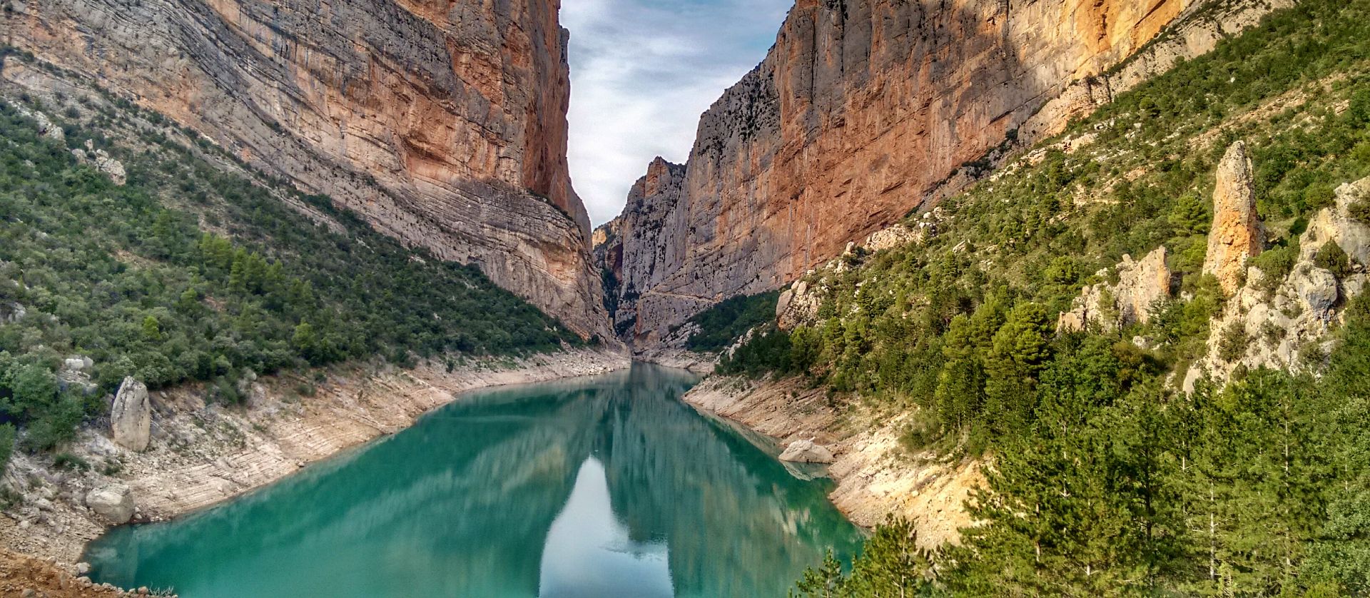
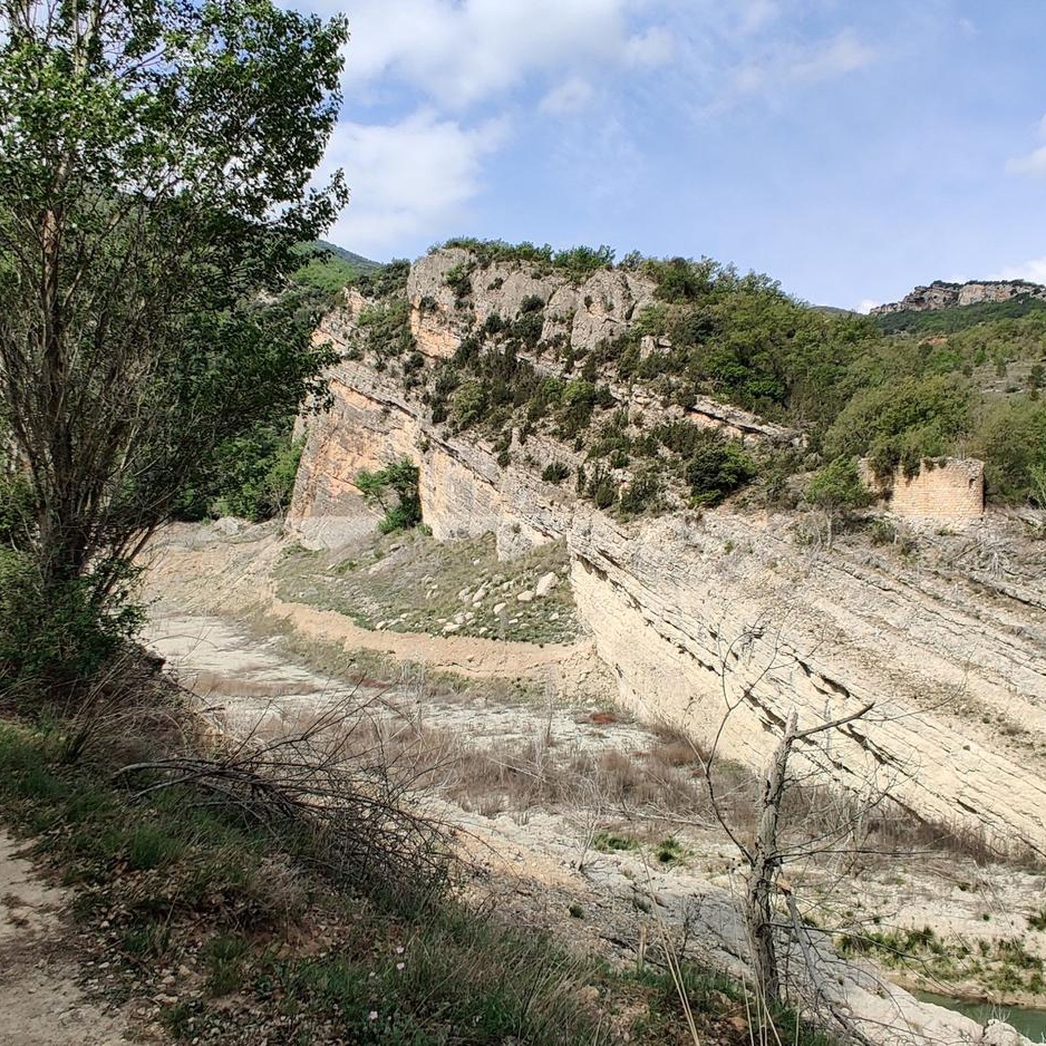
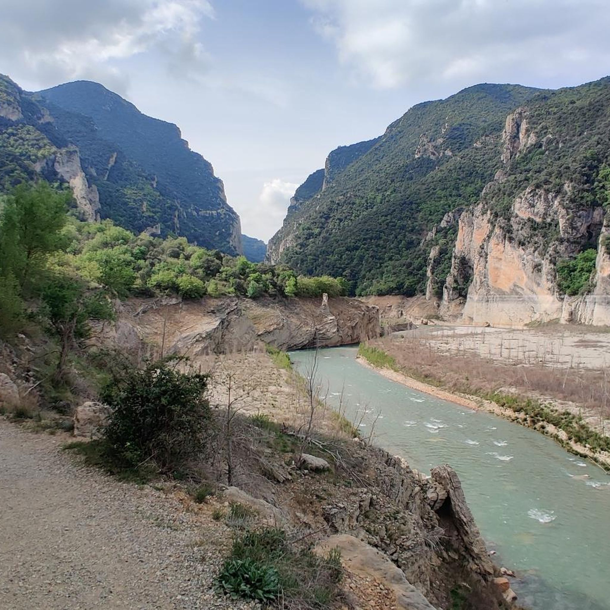
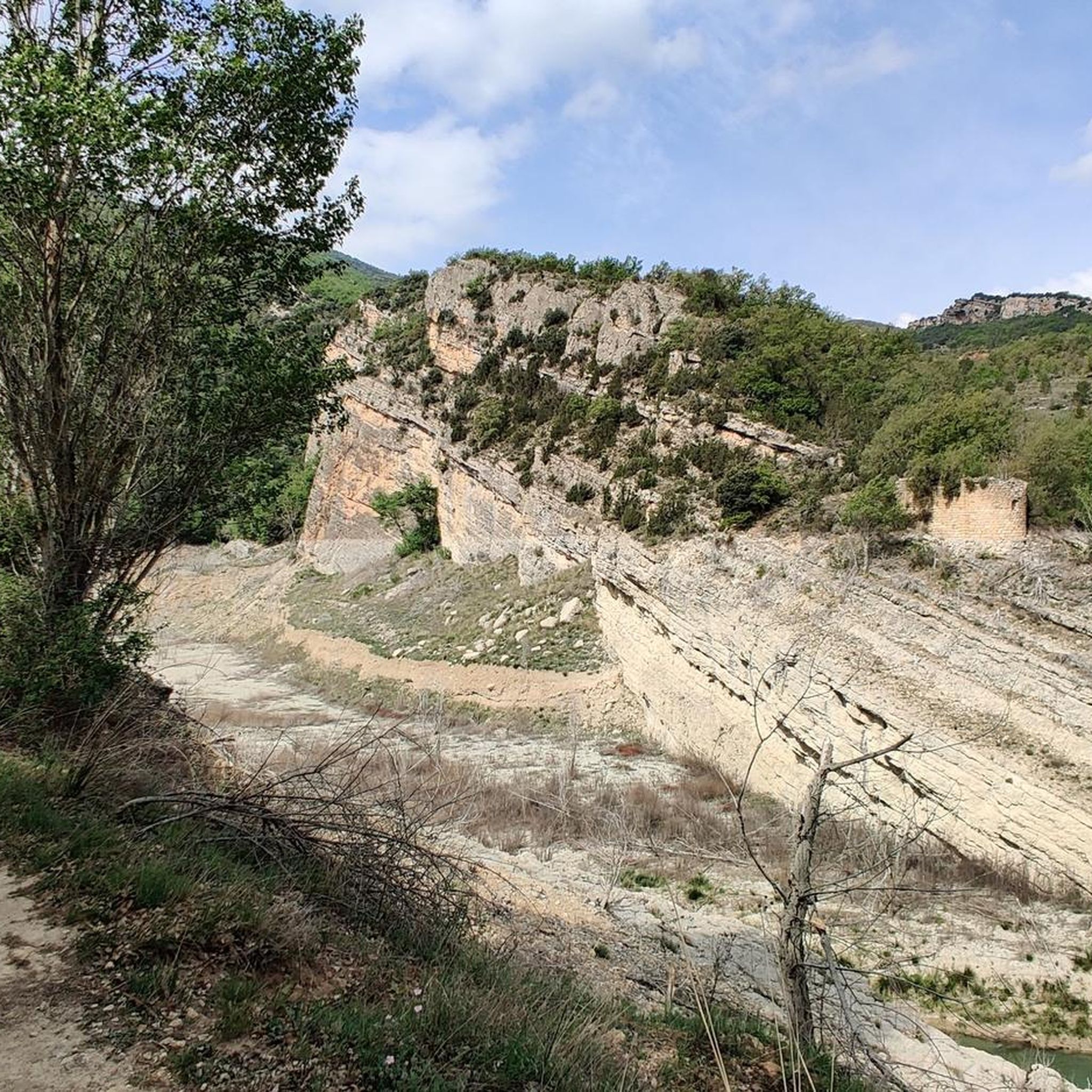
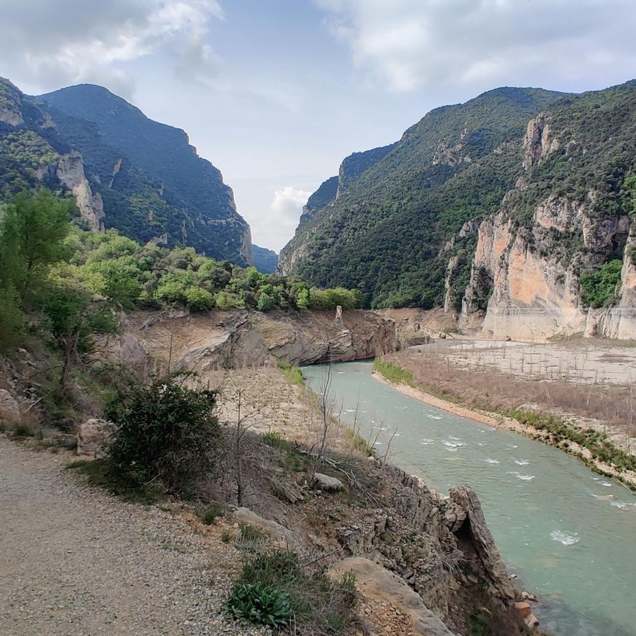
Gravel biking around Sant Esteve De La Sarga offers diverse terrain within the Lleida Pre-Pyrenees, characterized by a mix of relatively flat sections, gentle slopes, and hills. The region features significant geographical elements such as the Noguera Ribagorzana river and the Montsec mountain range. This varied topography provides extensive networks of vehicle-width gravel tracks, ancient farm tracks, and fire roads, ideal for gravel cycling. The landscape transitions from river valleys to mountainous areas, offering a dynamic experience for riders.
Best gravel bike trails around Sant Esteve De La Sarga
- The most popular gravel bike trail is La Coma Trail – View of Pantano de San Antonio loop from Estació de Tremp, a 29.7 miles (47.8 km) trail that takes 3 hours 38 minutes to complete, offering views of the Pantano de San Antonio.
- Another top favourite among local gravel bikers is Terradets Reservoir – View of Terradets Reservoir loop from Palau de Noguera, a difficult 25.7 miles (41.3 km) path that winds around the scenic Terradets Reservoir.
- Local gravel bikers also love the Slick Rock – Bartotrail loop from Estació de Tremp, a 13.4 miles (21.6 km) trail leading through varied terrain, often completed in about 2 hours 32 minutes.
- Gravel biking around Sant Esteve De La Sarga is defined by the Montsec mountain range, the Noguera Ribagorzana river valley, and a network of gravel tracks and ancient farm roads. The region offers options for different ability levels, from challenging climbs to more flowing routes.
- The routes in Sant Esteve De La Sarga are highly rated by the komoot community with an average score of 4.3 stars from over 8 reviews. More than 70 gravel bikers have used komoot to explore Sant Esteve De La Sarga's varied terrain.
Last updated: November 2, 2026
19
riders
Hard gravel ride. Very good fitness required. Mostly paved surfaces.
7
riders
21.4km
02:20
720m
720m
Hard gravel ride. Very good fitness required. Mostly paved surfaces.

5.0
(1)
5
riders
35.0km
03:22
820m
820m
Hard gravel ride. Very good fitness required. Mostly paved surfaces.
3.0
(2)
5
riders
99.3km
08:30
2,190m
2,190m
Hard gravel ride. Very good fitness required. Mostly paved surfaces.
3
riders
67.3km
05:42
1,310m
1,300m
Hard gravel ride. Very good fitness required. Mostly paved surfaces.
Our route recommendations are based on thousands of hikes, rides, and runs completed by other people on komoot.
Start today with a free account
Your next adventure awaits.
Popular around Sant Esteve De La Sarga
Other adventures around Sant Esteve De La Sarga

Tips from the Community

Wow, this is not to be missed! This is a fortified medieval town dating back to the 11th century. Àger is famous for its dramatic position at the foot of the Montsec mountain range and its preservation of Romanesque and Gothic architecture.
0
0

One of the tallest dams in all of Europe. A crossing point between Aragon and Catalonia and the gateway to the Serra del Montsec.
0
0

Industrial remains of the building and headframe of the old manganese mine in Estopiñán del Castillo.
0
0

Good path for mountain bikes, doable with gravel bikes but not very nice
0
0
Ermita closed, but has space for tent on the meadow in front of it. Tower next to it is open and has space for a 2 person tent (against bugs) but it's really cold in it. Okay for sudden rain, thunderstorms
0
0

At the top of the climb there is an old church with rest area and small meadow great for picnic.
0
0

Don't miss the return to Tremp via the Abella trail. Simply magical ;-)
0
0

It is a port in the Montsec mountain range that allows access to the beautiful valley where the town of Àger is located, with imposing vertical mountains that give a lot of charm and spectacularity to the valley, especially in spring where the green of the trees, the red of poppies and the warm yellow of wheat. The port is very stinky on both sides since the road is very wide, normally with 3 lanes, and with long straights, which take away any type of cycling attraction. However, the views from the port, especially towards the Àger valley, are spectacular. I climbed it on the southern slope, the one that begins in Balaguer. From Balaguer it is almost 25 km, with continuous ups, downs and flat areas. The final uphill section is 5.5 km at 6 - 7%, with a rest section when crossing the town of Sant Josep de Fontdepou
0
0
Frequently Asked Questions
How many gravel bike trails are available in Sant Esteve de la Sarga?
The Sant Esteve de la Sarga area offers a selection of 5 challenging gravel bike routes, all rated as difficult. These routes provide a dynamic experience across the region's varied terrain.
What kind of terrain can I expect on gravel bike trails in Sant Esteve de la Sarga?
You can expect a diverse mix of terrain, from relatively flat sections and gentle slopes to more challenging climbs through mountainous areas. The routes primarily utilize vehicle-width gravel tracks, ancient farm tracks, and groomed fire roads, minimizing asphalt sections for a true gravel biking experience. The landscape transitions from river valleys, like the Noguera Ribagorzana, to the Montsec mountain range.
Are there any long-distance gravel biking options in the region?
Yes, the region is well-suited for longer rides. While individual routes in this guide range up to 66.6 km, the broader Montsec area, which includes Sant Esteve de la Sarga, is known for dedicated gravel variants of the Montsec Bikepacking Loop (MBL), with routes extending over 300 kilometers and significant elevation gains for multi-day adventures.
What are some notable natural features or viewpoints I can see while gravel biking?
The region boasts spectacular natural features. You can encounter the dramatic Mont-rebei Gorge with its towering cliffs, the scenic Roca Regina and Barranc del Bosc, and the impressive Chinese Wall of Finestres. For panoramic views, consider routes that offer glimpses of the Sant Alís Summit, the highest peak in Montsec d'Ares, or the View of the Finestras Rock Formations from Ermita de San Marcos.
Are there any historical or cultural sites accessible by gravel bike?
Absolutely. The area is rich in history. You can cycle past charming rustic villages, some still walled like Moror and Castellnou del Montsec, and see ancient towers such as Alsamora. The region also features archaeological sites like Els Altimirs (a 5th-century settlement) and Sant Martí dels Tombets (a medieval necropolis), as well as numerous Romanesque churches and hermitages like San Salvador de Estorm and la Virgen de la Fabregada.
What is the best time of year to go gravel biking in Sant Esteve de la Sarga?
The Lleida Pre-Pyrenees generally offer pleasant conditions for gravel biking during spring and autumn, when temperatures are milder. Summer can be hot, especially in the valleys, while winter may bring colder temperatures and potential snow at higher elevations. Always check local weather forecasts before your ride.
Are there any family-friendly gravel biking routes?
The routes listed in this guide are generally rated as 'difficult' due to their elevation gain and distance, making them more suitable for experienced riders. For family-friendly options, it's advisable to look for shorter, less technical sections or dedicated family cycling paths in the broader region, which may not be specifically gravel-focused.
Can I bring my dog on the gravel trails?
While many outdoor areas in Spain are dog-friendly, it's always best to check local regulations for specific trails, especially within protected natural spaces like the Mont-rebei Gorge, which is a partial natural reserve with ornithological interest. Always keep your dog under control and clean up after them.
Where can I find parking for gravel biking routes?
Parking availability can vary depending on your chosen starting point. Many routes begin near villages or towns like Estació de Tremp or Palau de Noguera, where public parking might be available. For specific trailheads, it's recommended to check detailed route information on komoot for designated parking areas.
Is public transport available to reach the gravel biking areas?
Sant Esteve de la Sarga is a rural area, and public transport options are limited. While some nearby towns like Tremp may have bus or train connections, reaching specific trailheads within Sant Esteve de la Sarga often requires a car. It's best to plan your logistics accordingly.
What do other gravel bikers say about the trails in Sant Esteve de la Sarga?
The gravel biking routes in Sant Esteve de la Sarga are highly rated by the komoot community, with an average score of 4.3 stars from over 8 reviews. More than 70 gravel bikers have used komoot to explore the area, often praising the varied terrain and stunning natural landscapes.
Are there any circular gravel bike routes?
Yes, all the routes featured in this guide are circular, allowing you to start and end at the same point. Examples include the La Coma Trail – View of Pantano de San Antonio loop from Estació de Tremp and the Terradets Reservoir – View of Terradets Reservoir loop from Palau de Noguera.
Are there any challenging routes for experienced gravel bikers?
Definitely. All 5 routes in this guide are rated as 'difficult', featuring significant elevation gains and distances suitable for experienced gravel bikers looking for a challenge. For instance, the Church of Santa Maria de Covet – Bartotrail loop from Vilamitjana covers 66.6 km with over 1200 meters of elevation gain.
Most popular routes around Sant Esteve De La Sarga
Most popular attractions around Sant Esteve De La Sarga

Get inspired with the komoot mobile app


Explore more
Browse the best Gravel rides in other regions.
