The best gravel rides around Colehill
4.4
(67)
579
riders
69
rides
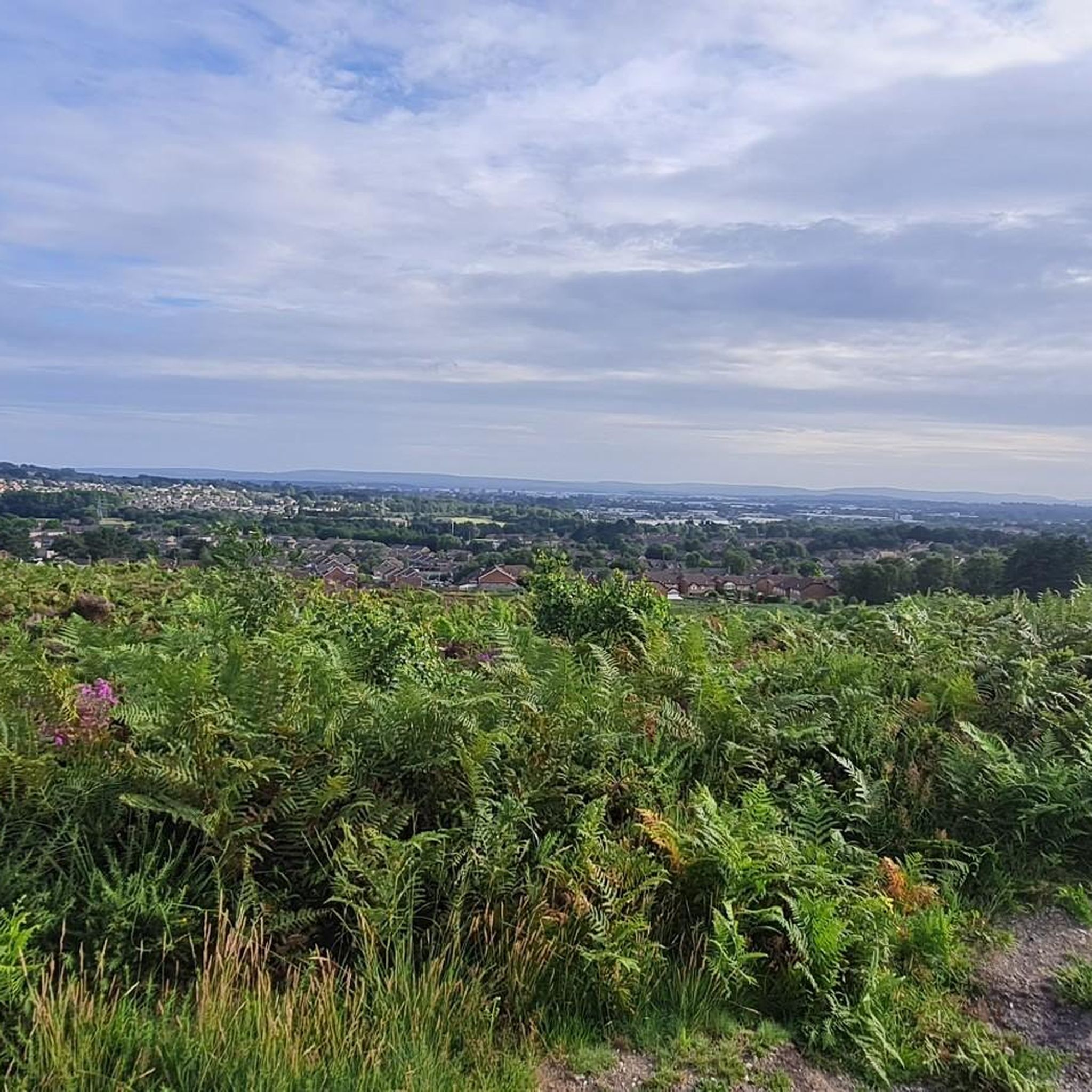
Gravel biking around Colehill traverses a landscape characterized by its position within the South West Hampshire/South East Dorset Green Belt. The area features varied topography, including the undulating Colehill Ridge and the Cannon Hill Forestry Plantation, which offers a network of trails. Common land and nature reserves like Leigh Common provide additional natural features for exploration. This setting within Dorset offers diverse terrain, from field edge gravel to potential disused railway lines, suitable for gravel cycling.
Best gravel bike trails…
Last updated: May 22, 2026
15
riders
21.3km
01:30
70m
70m
Easy gravel ride. Great for any fitness level. Mostly paved surfaces. Suitable for all skill levels.
4.0
(5)
15
riders
Easy gravel ride. Great for any fitness level. Mostly paved surfaces. Suitable for all skill levels.

Sign up for free
5.0
(1)
8
riders
54.4km
03:17
420m
420m
Moderate gravel ride. Good fitness required. Mostly paved surfaces. Suitable for all skill levels.
8
riders
32.7km
01:57
130m
130m
Easy gravel ride. Great for any fitness level. Mostly paved surfaces. Suitable for all skill levels.
4.5
(2)
5
riders
10.9km
00:46
60m
60m
Easy gravel ride. Great for any fitness level. Mostly paved surfaces. Suitable for all skill levels.
Get access to more routes and recommendations from other explorers.
Sign up for free
Already have an account?
Our route recommendations are based on thousands of hikes, rides, and runs completed by other people on komoot.
Start today with a free account
Your next adventure awaits.
Login or Signup
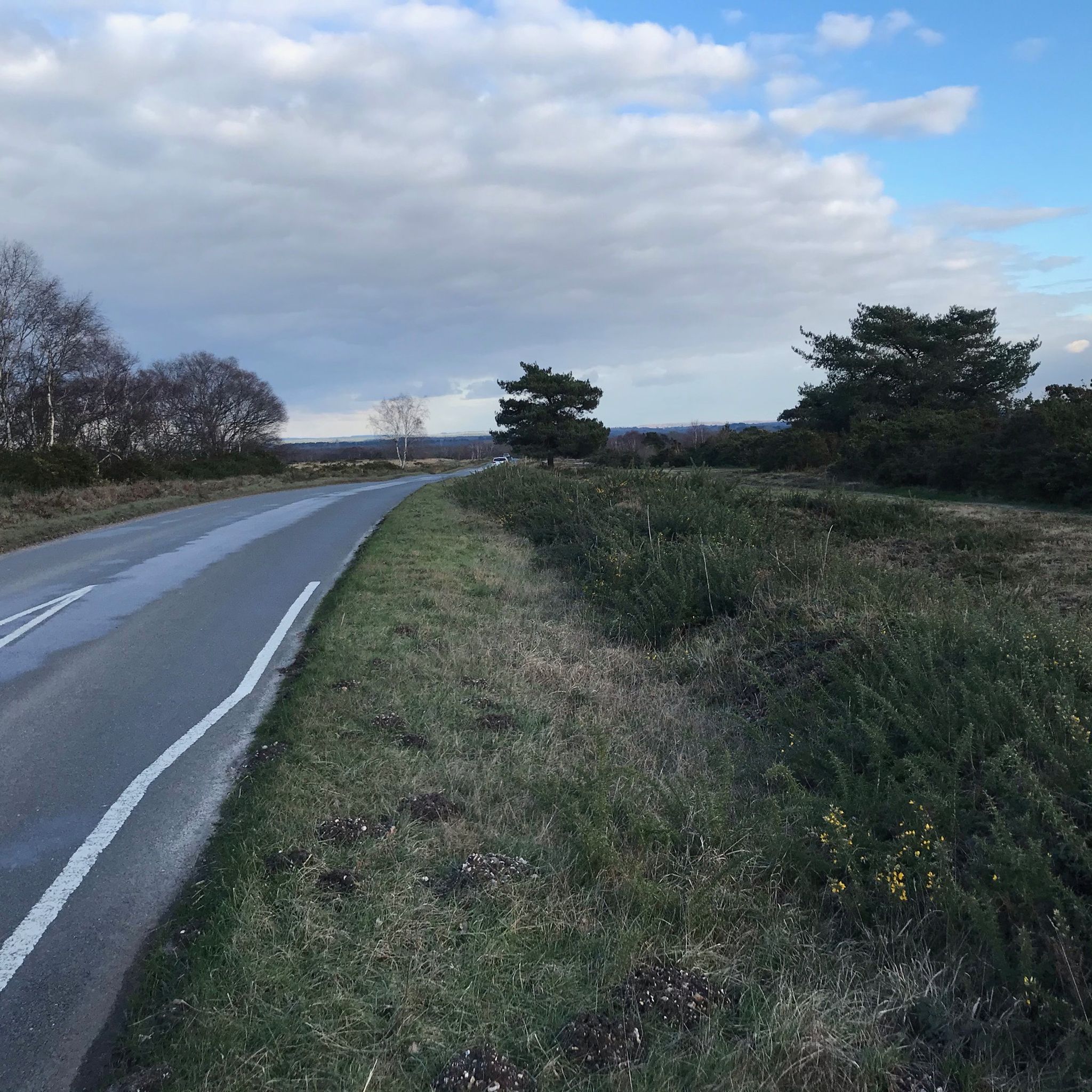
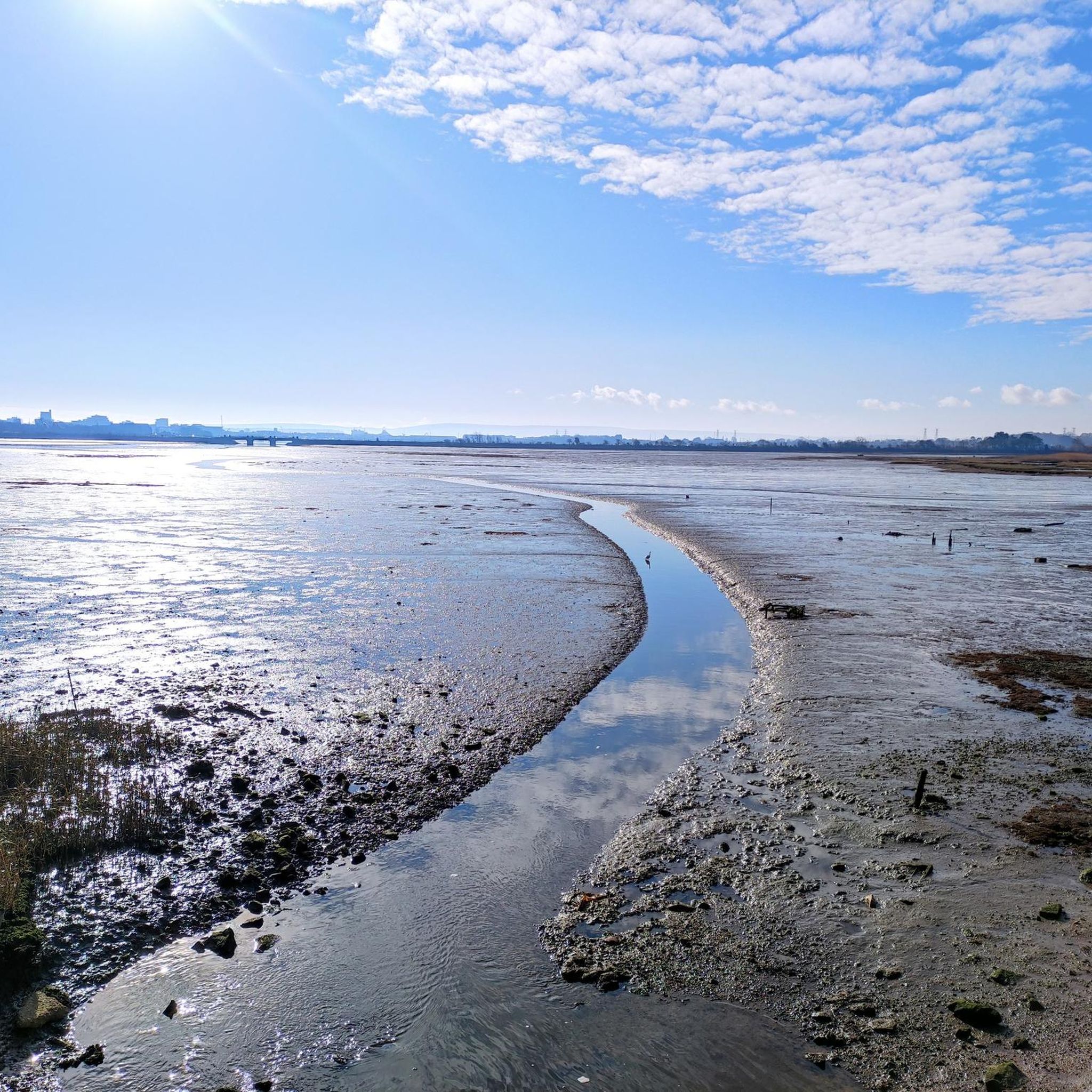
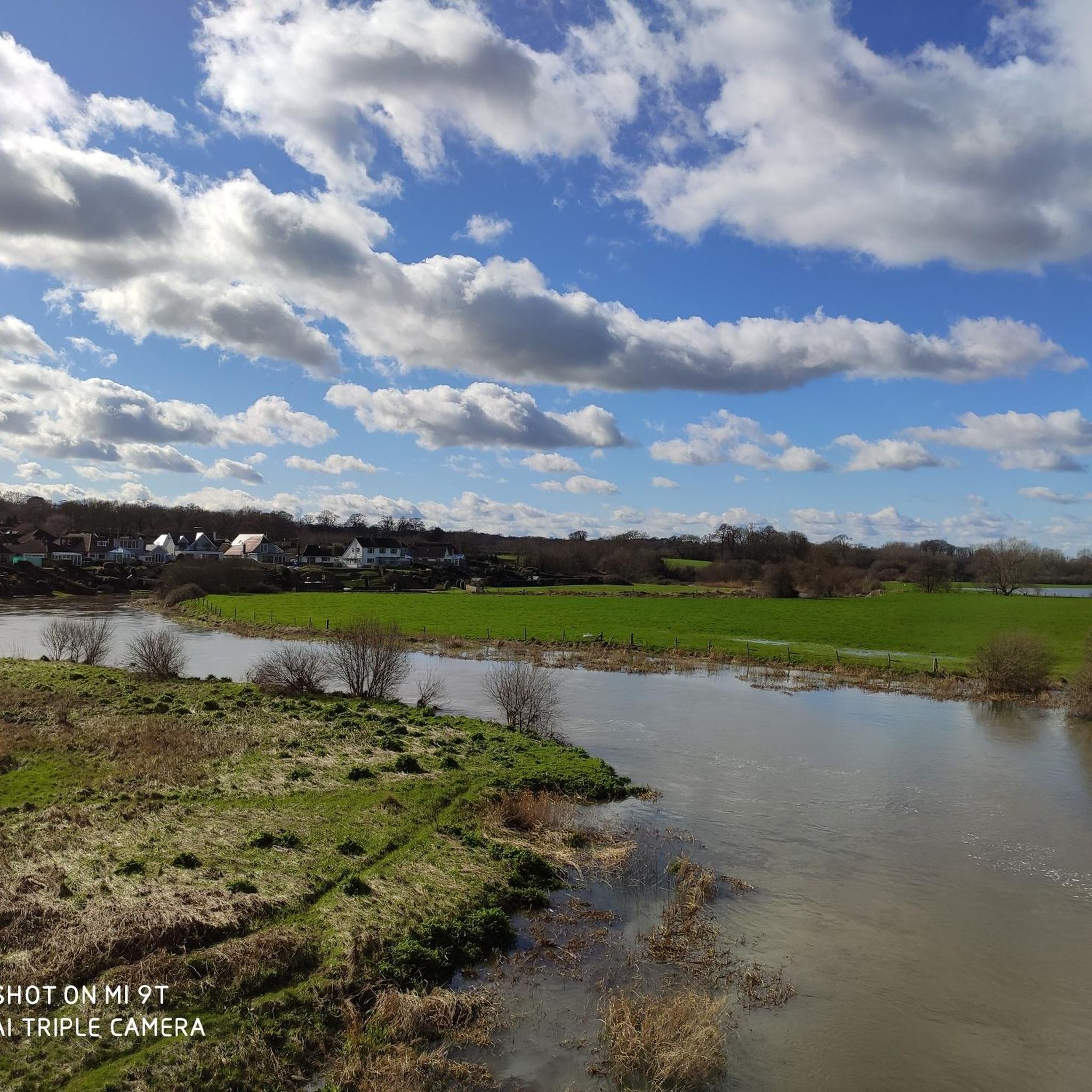
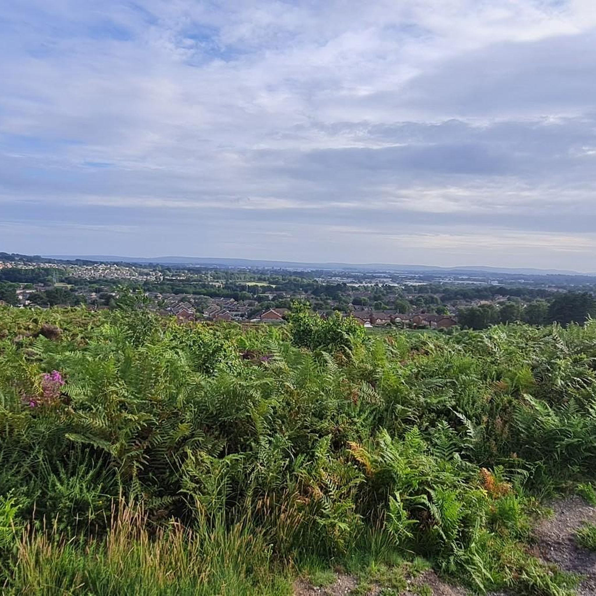
Tips from the Community

Lovely place overall, but the visitor centre area can get very busy. We found the trails a bit tricky to locate at first—look out for the “dog wash area” and then the “bike hire” just after it; they’re good waypoints to find the trail access, which is to the right and slightly behind the visitor centre (when facing it from the car park). Also worth noting there’s free parking at Potterne Park, not far from the centre.
0
0

Historic Significance: It is a Grade I Listed Building (the highest level of protection), noted for its special architectural and historic interest. Age: The first record of the bridge dates back to 1334, suggesting its medieval origins, with parts of the current structure likely dating to the 15th century. Construction: It is built of coursed rubble and ashlar stone and features nine semi-circular arches. Widening: The bridge was widened in 1819. The upstream side is the original, medieval part and features triangular cut-waters which extend up to form pedestrian refuges. The downstream side is the later, plainer widening. Inscriptions: There is a reset stone on the east side of the bridge inscribed with the year 1719. Name Origin: The bridge is named Crawford Bridge because it carries the road from Spetisbury to Tarrant Crawford. The nearby area of Spetisbury was historically one of three manors, including Great Crawford.
0
0
Single lane beware of on coming vehicles
0
0


Easy hard compact gravel, great for accessing Moors Valley
0
0
Frequently Asked Questions
How many gravel bike trails are there around Colehill?
There are over 90 gravel bike trails available around Colehill, offering a wide range of options for different skill levels and preferences. You'll find everything from easy loops to more challenging routes.
What kind of terrain can I expect on gravel bike trails near Colehill?
The terrain around Colehill is quite varied, reflecting its position within the South West Hampshire/South East Dorset Green Belt. You can expect a mix of surfaces, including field edge gravel, paths through forestry plantations like Cannon Hill, and sections along disused railway lines. The undulating Colehill Ridge also provides natural gradients and diverse paths.
Are there any easy gravel bike routes suitable for beginners or families?
Yes, Colehill offers several easy gravel bike routes. For example, the Canford Suspension Bridge – Singletrack to Holes Bay loop from Canford School is an easy 13.3-mile (21.3 km) path that combines singletrack sections with views towards Holes Bay. Another option is the Upton Heath Gravel Trails – Upton Heath Canyons Dirt Jumps loop from Merley, which is 14.3 km and also rated easy.
What are some notable landmarks or natural features I might see on a gravel ride?
Many routes will take you through areas with interesting landmarks and natural features. You might encounter historical sites like White Mill Bridge, or ancient earthworks such as Badbury Rings Iron Age hillfort, which also offers great viewpoints. The area also features common lands and nature reserves like Leigh Common, providing opportunities to connect with nature.
Are there any circular gravel bike routes around Colehill?
Yes, many of the gravel routes around Colehill are designed as loops. For instance, the popular North Dorset Trailway – Hodway Lane Trail Intersection loop from Colehill is a 37.9-mile (60.9 km) circular trail that utilizes a section of the North Dorset Trailway. Another option is the Furzehill Lane – White Mill Bridge loop from Colehill, covering 33.4 km.
What do other gravel bikers say about the trails in Colehill?
The gravel biking routes around Colehill are highly regarded by the komoot community, with an average rating of 4.37 stars from over 80 reviews. Many riders appreciate the varied terrain, from quiet woodlands to open trails, and the well-maintained paths that make for an enjoyable experience.
Is public transport available to access gravel trails near Colehill?
While Colehill itself is a civil parish, its proximity to larger towns like Wimborne Minster and Ferndown means there are bus services in the wider area. For detailed public transport information to specific trailheads, it's best to check local bus schedules or plan your route using a journey planner that includes cycling options.
Are there specific parking areas for cyclists near the gravel trails?
Parking availability varies depending on the specific trailhead. Many routes start from or pass through areas where public parking is available, such as near local parks or forestry plantations. For routes starting in towns like Wimborne Minster, dedicated car parks are usually available. Always check local signage for parking restrictions and fees.
What is the best time of year for gravel biking in Colehill?
Colehill's gravel trails can be enjoyed year-round, but spring and autumn often offer the most pleasant conditions with milder temperatures and beautiful scenery. After heavy rain, some unpaved sections might be muddy, so checking local weather and trail conditions is advisable. Summer can be great, but remember to bring plenty of water on longer rides.
Are there any cafes or pubs along the gravel bike routes for a stop?
While specific cafes directly on every trail might be limited, many routes pass through or near villages and towns like Wimborne Minster, where you'll find a good selection of cafes, pubs, and shops to refuel. Planning your route with potential stops in mind is a good idea to ensure you have refreshment options.
Are permits required for gravel biking on trails around Colehill?
Generally, permits are not required for cycling on public bridleways, byways, and designated cycle paths in the Colehill area. However, if you plan to cycle on private land or within specific managed estates, it's always best to check for any access restrictions or permit requirements beforehand. Most of the routes listed on komoot are on public access land.
What makes the wider Dorset area good for gravel biking?
Colehill benefits from its location within Dorset, a county known for its diverse and conservation-rich landscapes. Beyond Colehill, Dorset offers chalk downs, limestone ridges, and clay valleys, providing a variety of gravel-friendly routes, including those incorporating disused railway lines like sections of the North Dorset Trailway. A substantial portion of Dorset is designated as conservation areas and Areas of Outstanding Natural Beauty, ensuring well-preserved natural environments for cycling.
Most popular routes around Colehill
Most popular attractions around Colehill

Get inspired with the komoot mobile app


Explore more
Browse the best Gravel rides in other regions.
