The best gravel rides around Steeple Barton
13
riders
7
rides
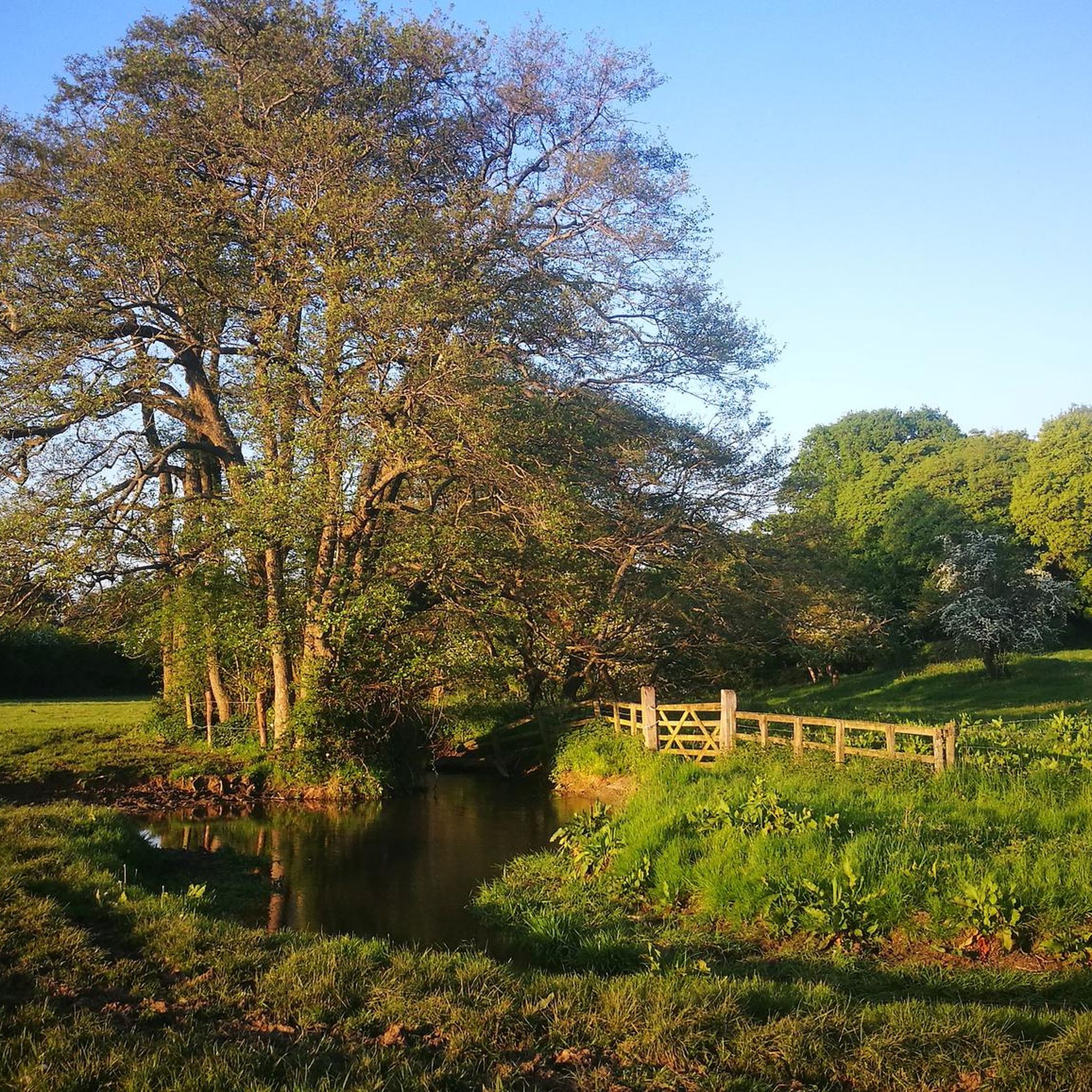
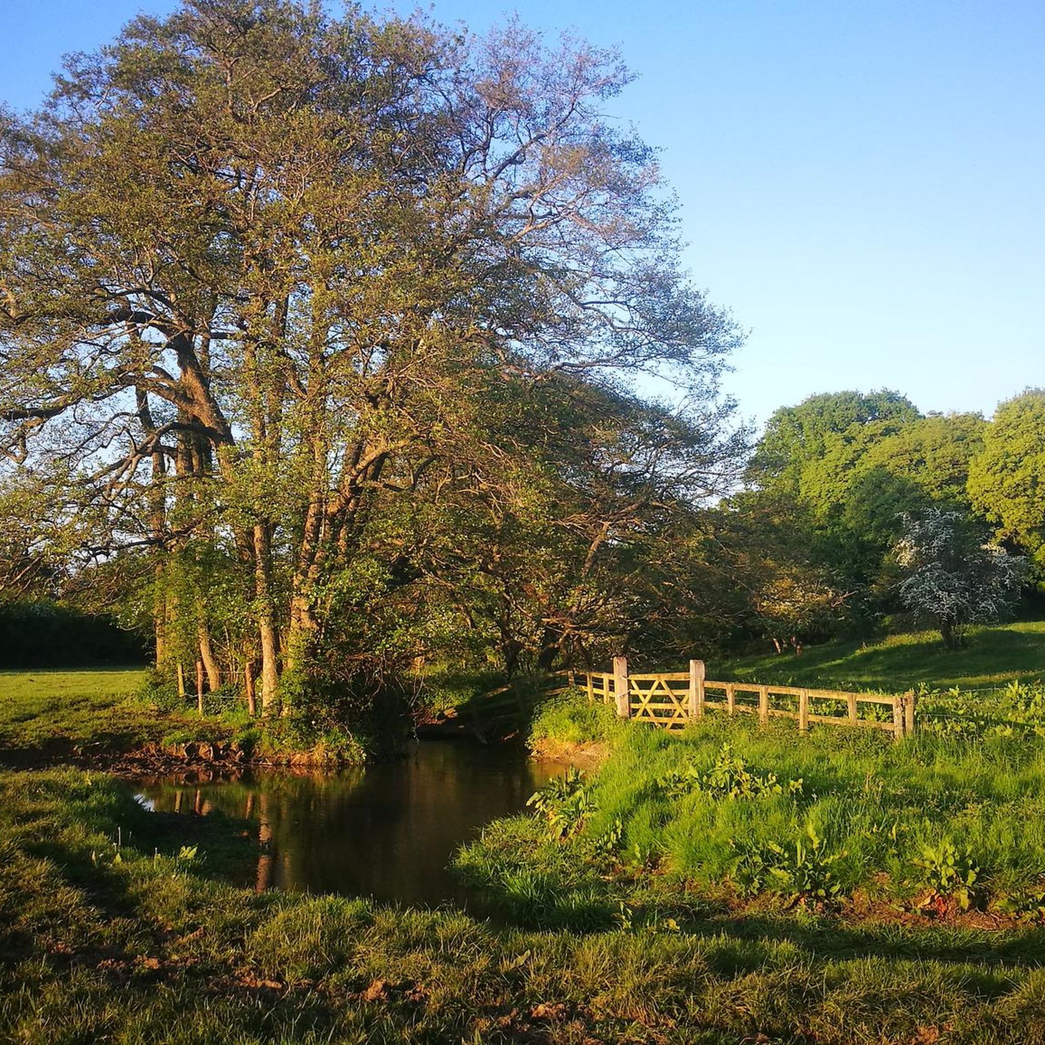
Gravel biking around Steeple Barton offers routes through West Oxfordshire's picturesque countryside, characterized by rolling hills, extensive farmscapes, and a network of public rights of way. The terrain includes unpaved roads, bridleways, and byways, providing varied surfaces for cyclists. The River Dorn flows through the parish, contributing to the serene natural landscape of the Cherwell Valley. This region provides opportunities for exploring away from traffic, combining natural beauty with historical elements.
Best gravel bike trails around Steeple Barton
- The most…
Last updated: May 21, 2026
Moderate gravel ride. Good fitness required. Mostly paved surfaces. Suitable for all skill levels.
5
riders
46.2km
02:46
220m
220m
Moderate gravel ride. Good fitness required. Mostly paved surfaces. Suitable for all skill levels.

Sign up for free
2
riders
27.0km
01:36
140m
140m
Easy gravel ride. Great for any fitness level. Mostly paved surfaces. Suitable for all skill levels.
33.4km
02:11
300m
300m
Moderate gravel ride. Good fitness required. Mostly paved surfaces. Suitable for all skill levels.
2
riders
Easy gravel ride. Great for any fitness level. Mostly paved surfaces. Suitable for all skill levels.
Get access to more routes and recommendations from other explorers.
Sign up for free
Already have an account?
Our route recommendations are based on thousands of hikes, rides, and runs completed by other people on komoot.
Start today with a free account
Your next adventure awaits.
Login or Signup
Tips from the Community


A beautiful example of a tree-lined lane north of Oxford. Usually very quiet car-wise, so a perfect place to drink in the view and enjoy the tarmac.
0
0

Great ride can be quite busy at week ends
0
0

The old bridle way which was extremely overgrown has now been completely re-done the full length right from Heyford to village farm
0
0

Built in the late 1730s it is a significant and very early example of a ferme ornee and these days still serves as a shelter for a herd of rare cattle. On one side the arched alcove in its tower contains a seat from which to take in the view across the fields outside the garden wall. It’s listed by Historic England as Grade 2*.
0
0
Frequently Asked Questions
How many gravel bike trails are available around Steeple Barton?
There are over 10 gravel bike trails around Steeple Barton listed on komoot, offering a variety of experiences through West Oxfordshire's picturesque countryside. These include routes suitable for both easy and moderate skill levels.
What kind of terrain can I expect on gravel bike trails near Steeple Barton?
The terrain around Steeple Barton is characterized by rolling hills, extensive farmscapes, and a network of public rights of way. You'll encounter unpaved roads, bridleways, and byways, providing varied surfaces. The area benefits from Oxfordshire's natural landscape, ideal for gravel biking away from traffic.
Are there any easy gravel bike routes suitable for beginners or families?
Yes, there are several easy routes. For instance, the Pigeon Lock – Woodland Path to Woodstock loop from Heyford is an easy 27.0 km trail that takes about 1 hour 35 minutes, leading through pleasant woodland paths. Another easy option is the Heyford Bridleway – Somerton Level Crossing loop from Upper Heyford, which is a shorter 9.6 km ride.
What are some of the longer or more challenging gravel bike routes in the area?
For those seeking a longer ride, the Beckley Bridleway Singletrack – Straight Mile Road loop from Tackley is a moderate 58.3 km trail that combines bridleway singletrack with a road loop, typically taking over 4 hours. Another moderate option is the Combe Bridge – Quiet Country Road loop from Combe, a 46.2 km path primarily following quiet country roads.
Are there any circular gravel bike routes around Steeple Barton?
Many of the gravel bike routes in the Steeple Barton area are designed as loops, allowing you to start and finish at the same point. Examples include the Beckley Bridleway Singletrack – Straight Mile Road loop from Tackley and the Pigeon Lock – Heyford Station Canal Moorings loop from Shipton-on-Cherwell and Thrupp, both offering a complete circular experience.
What natural landmarks or features can I see along the gravel bike trails?
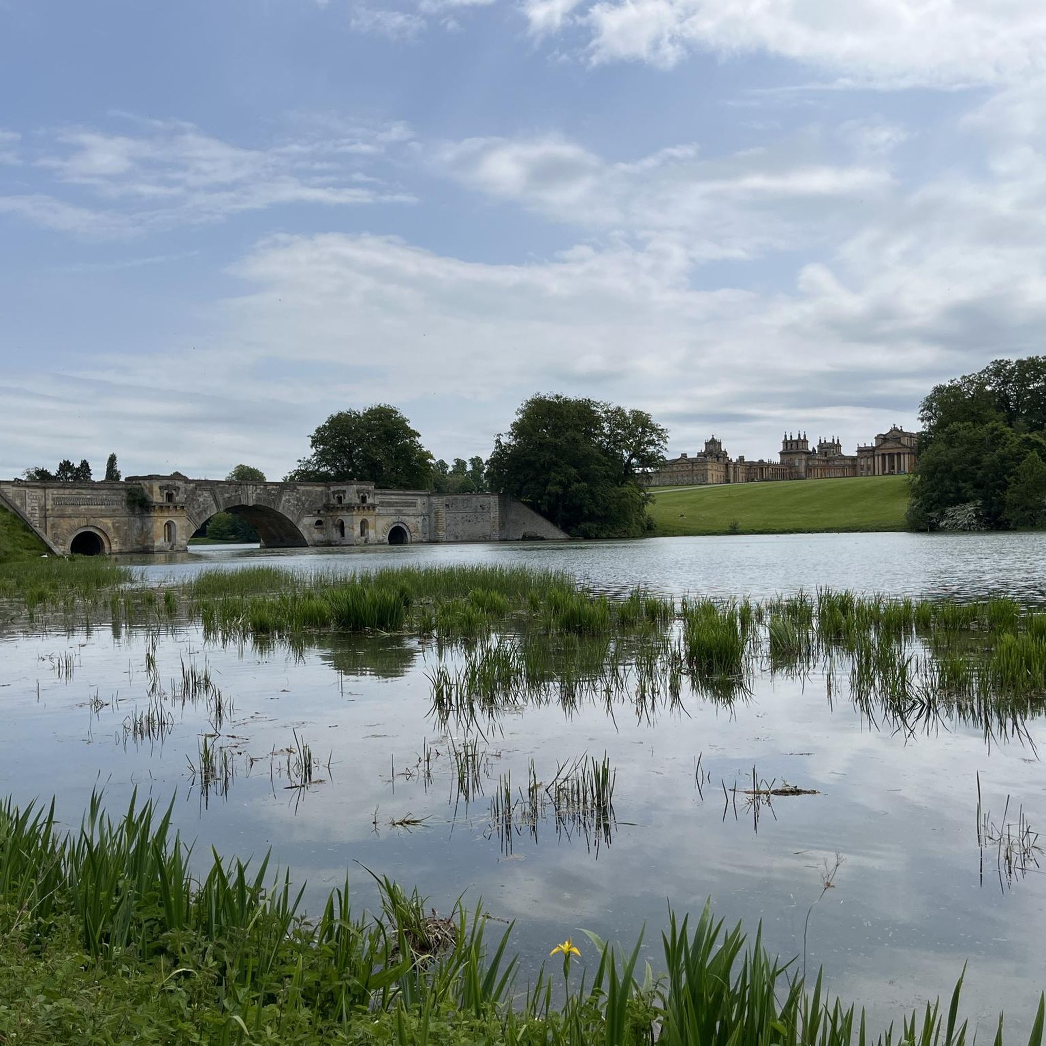
The River Dorn flows through the parish, contributing to the serene natural landscape you'll experience. While cycling, you might also encounter the picturesque rolling countryside and farmscapes. For specific natural highlights, consider visiting Blenheim Park Lake and The Pump House Waterfall or Adderbury Lakes Nature Reserve, which are nearby attractions.
Are there any historical sites or points of interest accessible by bike?
Yes, the region is rich in history. While cycling, you can appreciate the historical setting of the Barton Abbey Estate from designated paths. Nearby, you can visit significant historical sites like Blenheim Palace — a UNESCO World Heritage Site, or see the impressive Grand Bridge at Blenheim Palace. The area also features ancient churches such as Holy Cross Church, Shipton-on-Cherwell.
What do other gravel bikers enjoy most about cycling in Steeple Barton?
Gravel bikers using komoot often praise the varied terrain, from easy woodland paths to more challenging moderate routes, and the opportunity to explore West Oxfordshire's picturesque countryside away from heavy traffic. The network of bridleways and farmscapes provides a true rural cycling experience.
Is Steeple Barton a good area for dog-friendly gravel biking?
Many public rights of way, including bridleways and byways, are accessible for cyclists and walkers with dogs, provided dogs are kept under control, especially around livestock. Always check local signage and ensure your dog is comfortable with the terrain and distance of your chosen route.
What is the best time of year for gravel biking around Steeple Barton?
The rolling hills and farmscapes of Oxfordshire are beautiful year-round. Spring and autumn offer pleasant temperatures and vibrant scenery. However, after rain, some sections of bridleways and unpaved tracks can become muddy and more challenging, so checking local weather conditions is always advisable.
Are there any specific regulations for cycling on public rights of way in Oxfordshire?
In Oxfordshire, cyclists are legally permitted on bridleways and byways, which form a significant part of the gravel biking network around Steeple Barton. Footpaths are generally for walkers only. Always be mindful of other users, especially walkers and horse riders, and adhere to the Countryside Code. For more detailed information on public rights of way, you can consult official government guidance at gov.uk.
Where can I find parking for gravel bike trails in Steeple Barton?
While specific dedicated parking for each trail isn't always listed, many routes start from villages or accessible points where public parking may be available. It's recommended to check the starting point of your chosen komoot route for local parking options, which often include village car parks or roadside parking where permitted.
Most popular attractions around Steeple Barton

Get inspired with the komoot mobile app


Explore more
Browse the best Gravel rides in other regions.
