The best gravel rides around South Brent
3.0
(2)
17
riders
2
rides
Gravel biking around South Brent offers routes through varied landscapes on the edge of Dartmoor National Park. The region features a mix of river valleys, forested areas, and open moorland, providing diverse terrain for gravel cyclists. Riders can expect undulating paths with some significant elevation gains, characteristic of the Dartmoor fringes. The area is defined by its natural water features, including waterfalls and reservoirs, alongside ancient woodlands.
Best gravel bike trails around South Brent
- The most popular gravel bike trail is Lydia Bridge Waterfall – The Station House loop from Lee Mill, a 32.4 miles (52.1 km) trail that takes 4 hours 26 minutes to complete. This difficult route features substantial climbs and diverse scenery.
- Another top favourite among local gravel bikers is Lydia Bridge Waterfall – Avon Dam Reservoir loop from South Brent, a difficult 16.5 miles (26.5 km) path. This route explores the area's reservoirs and natural water features.
- Local gravel bikers also love the Bellever Forest – Bellever Bridge loop from Dartmeet, a 7.7 miles (12.4 km) trail leading through Bellever Forest, often completed in about 54 minutes.
- Gravel biking around South Brent is defined by its proximity to Dartmoor National Park, featuring river valleys, forests, and open moorland. The network offers options for both moderate and difficult ability levels.
- The routes in South Brent are highly rated by the komoot community with an average score of 3.0 stars from several reviews. More than 20 gravel bikers have used komoot to explore South Brent's varied terrain.
Last updated: May 22, 2026
1.0
(1)
9
riders
52.1km
03:24
810m
810m
Hard gravel ride. Very good fitness required. Mostly paved surfaces. Suitable for all skill levels.
5.0
(1)
6
riders
26.5km
02:14
660m
660m
Hard gravel ride. Very good fitness required. Mostly paved surfaces. Suitable for all skill levels.

Sign up for free
12.6km
00:54
210m
210m
Moderate gravel ride. Good fitness required. Mostly paved surfaces. Suitable for all skill levels.
2
riders
14.6km
01:03
290m
290m
Moderate gravel ride. Good fitness required. Mostly paved surfaces. Suitable for all skill levels.
Our route recommendations are based on thousands of hikes, rides, and runs completed by other people on komoot.
Start today with a free account
Your next adventure awaits.
Login or Signup

Tips from the Community

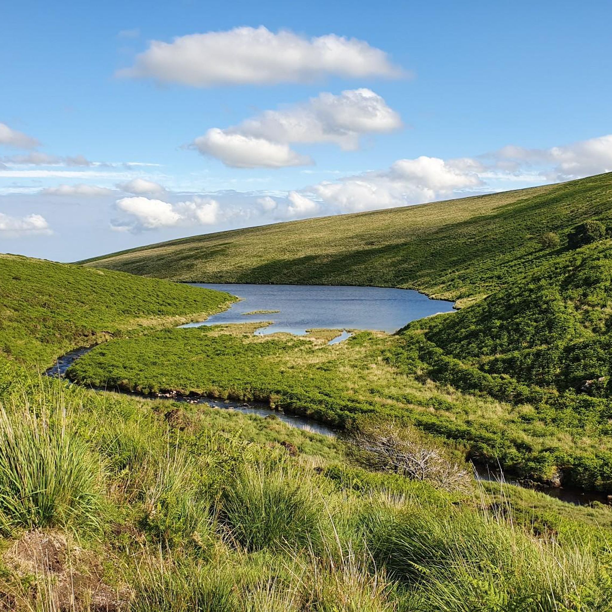
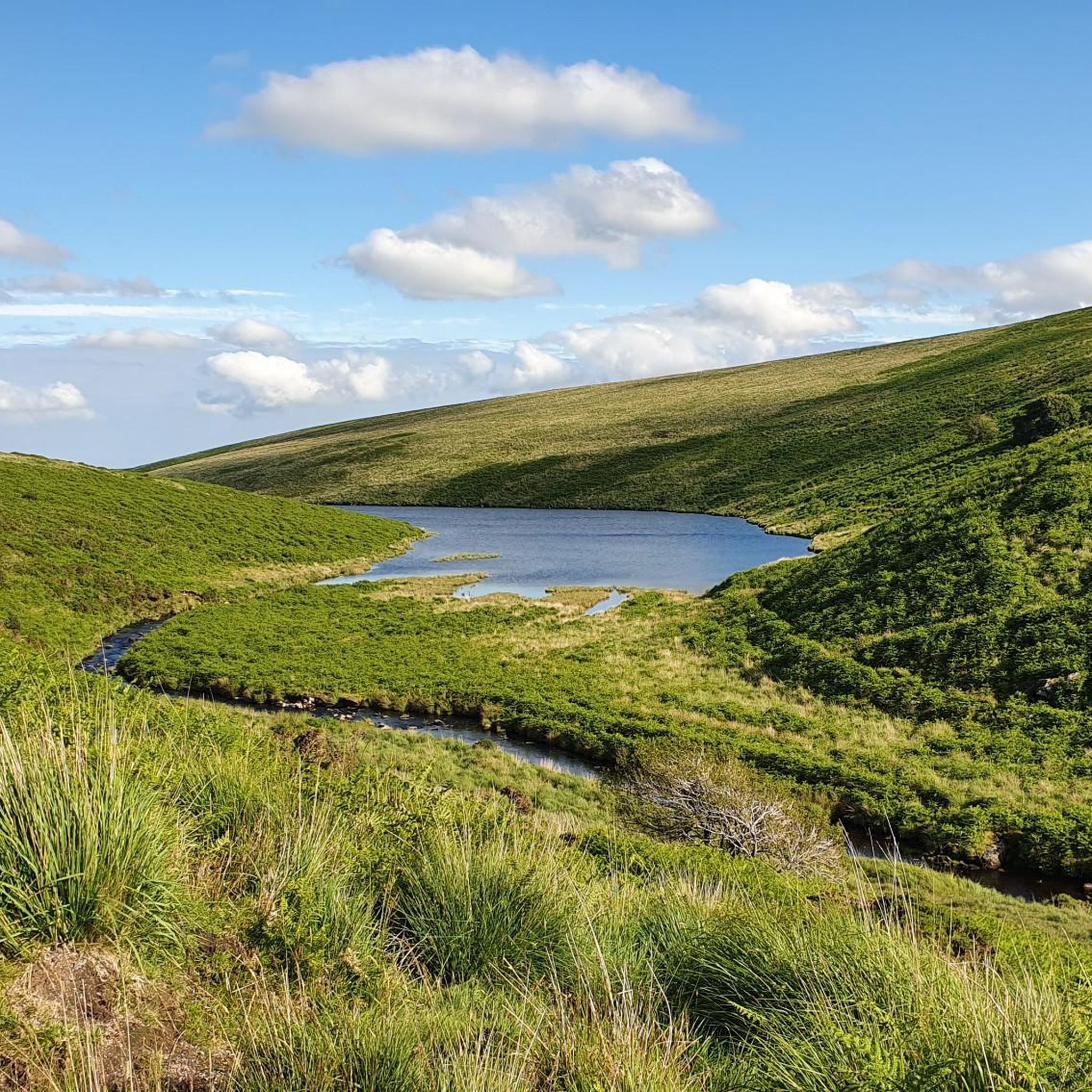
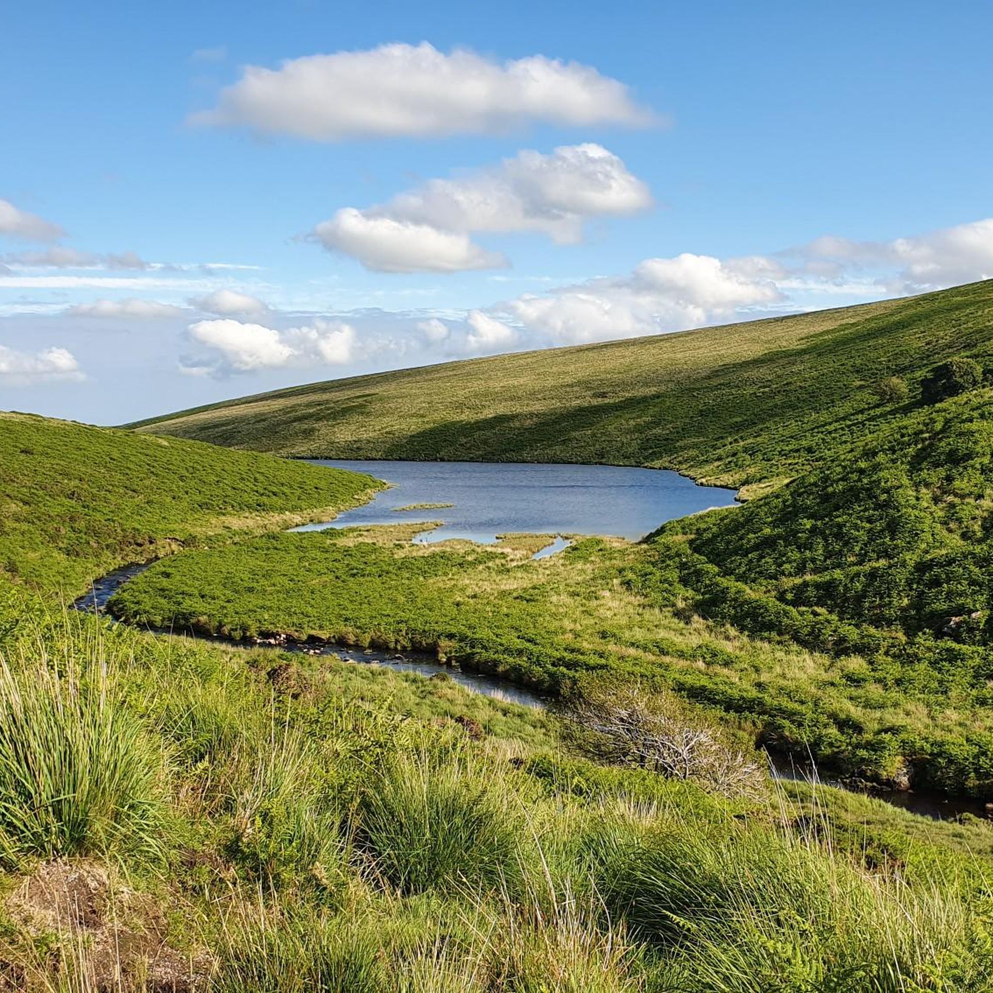
The East Dart starts high on Dartmoor, near Whitehorse Hill and flows down to join the West Dart at Dartmeet. This stretch south of Bellever Bridge is pretty and less moorland and bleak than some areas, it's also a bit more open than the tree lined stretches downstream. The river is lovely and clean, having only flowed across the moor.
0
0

Quiet and undulating - great to include on longer rides.
0
0


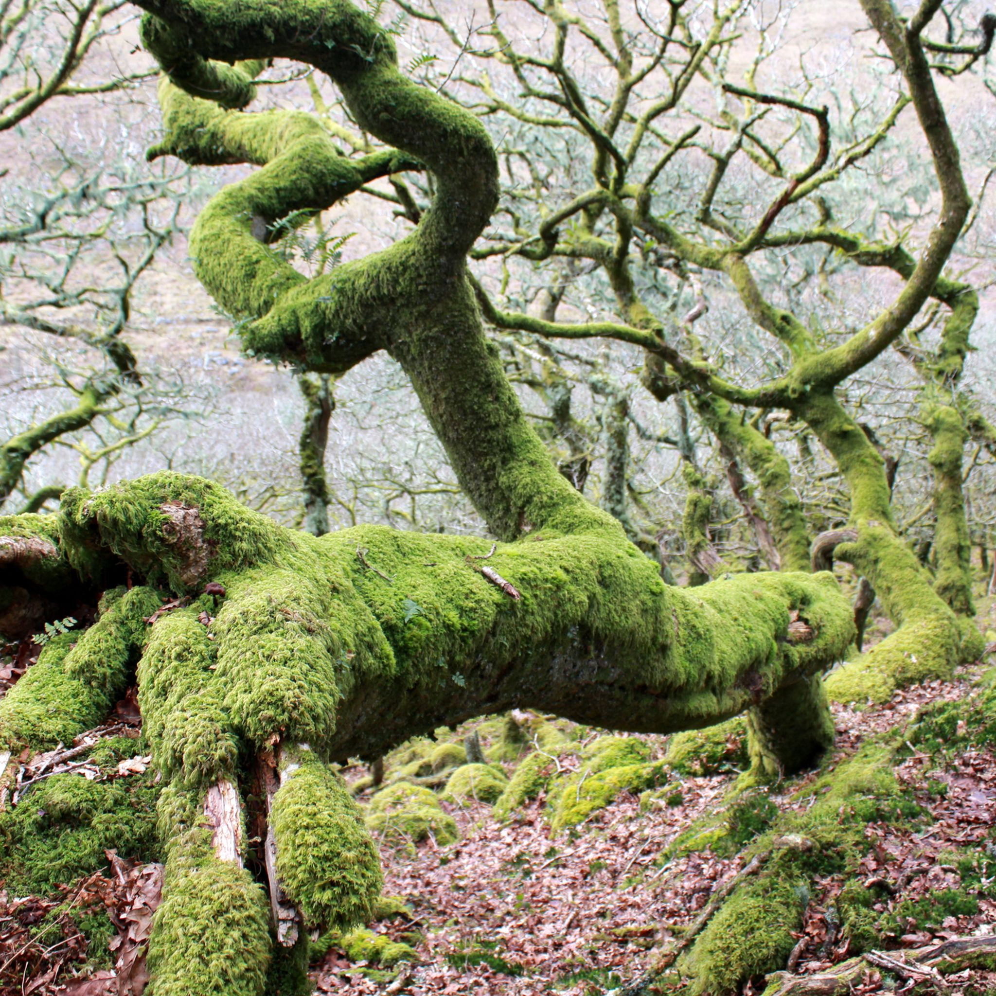
There are miles of wide, rolling and generally quite smooth fire roads in Bellever Forest to explore. These are bordered by mossy green banks and evergreen plantations, so good for mushroom hunting in the autumn! If you're planning a short walk, you can find good facilities nearby in Postbridge at the Dartmoor National Park Visitor Centre, including parking, toilets, a shop and water refills. There's also a Forestry Commission car park in Bellever.
1
0
If you're following the Bellever Miles Without Stiles tramper route, this is the singletrack section of the trail. It also makes up part of the Lych Way, an ancient route which parishioners would take to reach their local church for burials and other services, sometimes travelling up to 12 miles (19 km) over rough moorland.
0
0
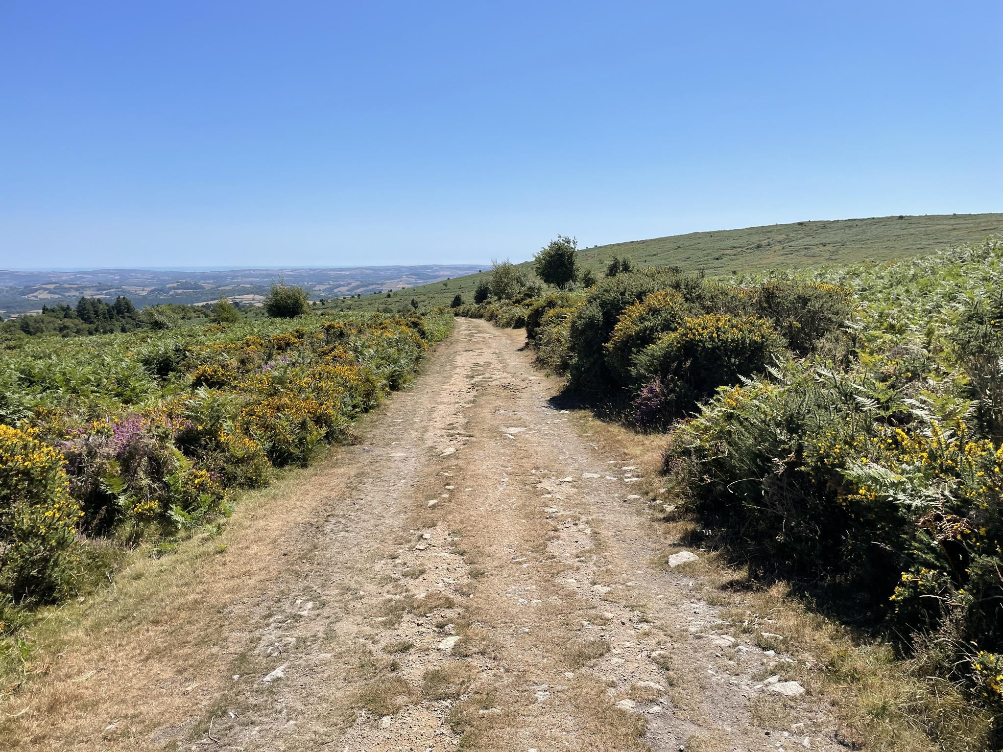
Some quiet, undulating lanes between Bittaford and South Brent make for a good way to finish (or start) a loop onto the moors, following National Cycle Network Route 2 (https://www.komoot.com/collection/2211292/dover-to-st-austell-national-cycle-network-route-2) and part of the Dartmoor Way cycle route. I always see plenty of other cyclists along here, but few cars as it runs parallel to the A38. A perfect way to skirt the moor!
0
0
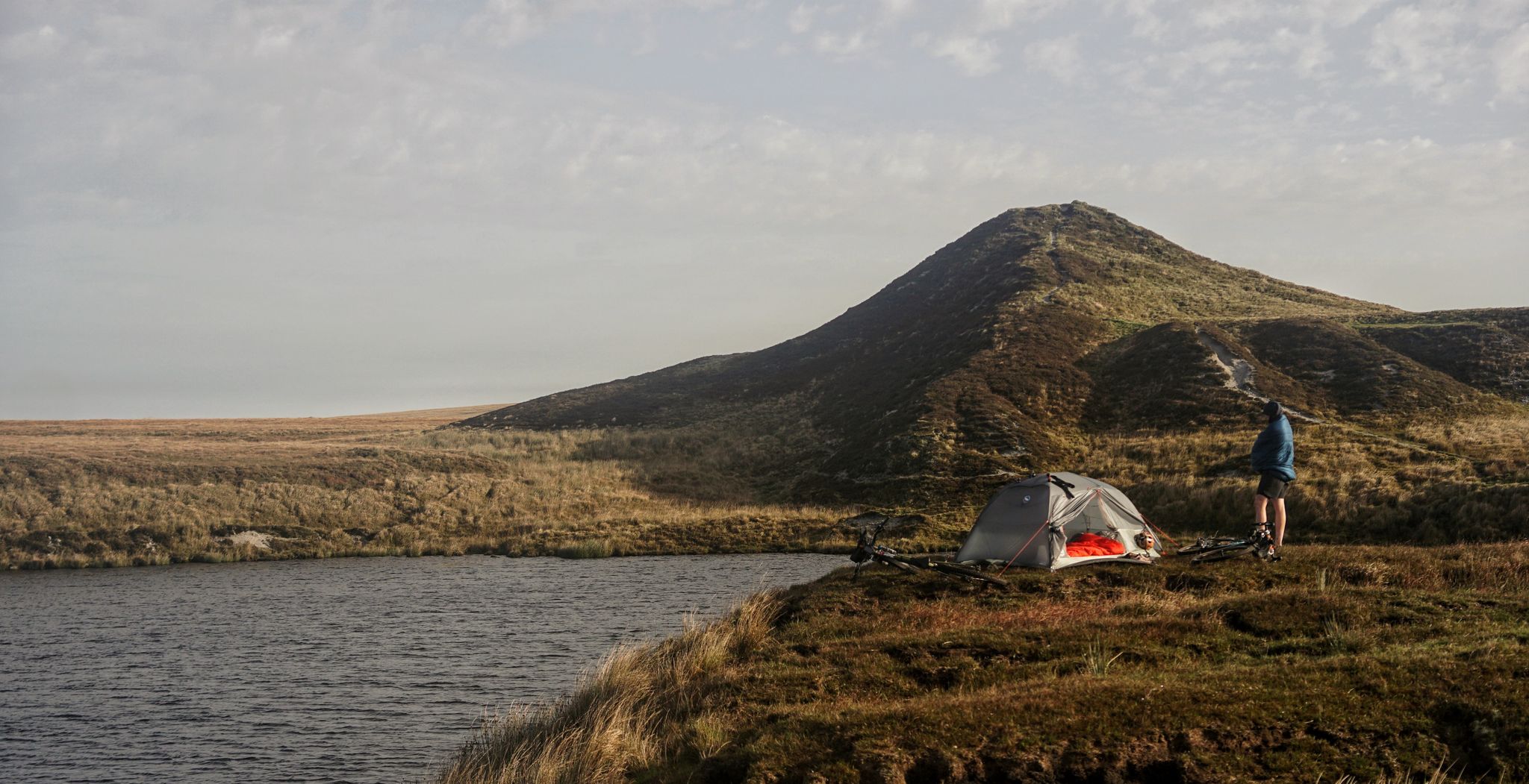
Built between 1910 and 1912, this former railway line used to transport labourers and kit up to the Red Lake China Clay Works, as well as returning waste products that were put to use as fertiliser. Today, only the track bed is left, providing a long, winding, and fairly gentle way to get up onto the moor from Bittaford, near Ivybridge. The track is a firm local favourite with mountain bikers and gravel riders alike, and also very popular with hikers and the herds of Belted Galloway cattle that roam Ugborough and Harford Moors. Although gentle in gradient, it's pretty rough in parts, so wider tyres are recommended.
0
0
Frequently Asked Questions
How many gravel bike trails are available around South Brent?
There are 6 gravel bike routes documented on komoot around South Brent, offering a variety of experiences through Dartmoor's fringes. These routes range in difficulty from moderate to difficult.
Are there any easy or family-friendly gravel bike trails in South Brent?
The gravel bike routes around South Brent are generally rated as moderate to difficult, often featuring significant elevation gains characteristic of the Dartmoor area. While there aren't specific 'easy' routes listed, the Bellever Forest – Bellever Bridge loop from Dartmeet is the shortest at 7.7 miles (12.4 km) and rated moderate, which might be a good starting point for those looking for a less strenuous option.
What kind of terrain can I expect on gravel bike trails near South Brent?
Gravel biking around South Brent offers diverse terrain, including river valleys, forested areas, and open moorland on the edge of Dartmoor National Park. You'll encounter undulating paths with some notable climbs, as well as natural water features like waterfalls and reservoirs, and ancient woodlands.
Are there any circular gravel bike routes in the South Brent area?
Yes, many of the gravel bike routes around South Brent are designed as loops. For example, the challenging Lydia Bridge Waterfall – The Station House loop from Lee Mill and the Lydia Bridge Waterfall – Avon Dam Reservoir loop from South Brent are both circular, allowing you to start and end at the same point.
What are some scenic highlights or points of interest along the gravel bike trails?
The routes often pass through scenic areas with natural water features and views. You might encounter highlights such as Avon Dam Reservoir, which is explored on the Lydia Bridge Waterfall – Avon Dam Reservoir loop. Other nearby natural monuments and viewpoints include Combestone Tor and Western Beacon Summit, offering expansive views of the Dartmoor landscape.
Are there any routes that pass by waterfalls or reservoirs?
Yes, the region is known for its natural water features. The Lydia Bridge Waterfall – Avon Dam Reservoir loop from South Brent specifically explores reservoirs and features a waterfall. The longer Lydia Bridge Waterfall – The Station House loop also includes a waterfall.
What is the best time of year for gravel biking in South Brent?
The varied terrain of South Brent can be enjoyed throughout much of the year. Spring and autumn often provide pleasant temperatures and vibrant scenery. During winter, some higher moorland sections might be more exposed to weather, so checking local conditions is advisable.
Where can I find parking for gravel biking near South Brent?
Specific parking information for each trailhead is usually detailed on the individual komoot tour pages. For routes starting from South Brent itself, you'll typically find public parking options within the village. For routes starting from other points like Dartmeet or Lee Mill, look for designated car parks or roadside parking areas near the start of the trail.
Are there opportunities for a pub lunch or refreshments along the gravel bike routes?
Many routes in the Dartmoor area pass through or near small villages and hamlets where you can find local pubs or cafes. While specific stops aren't always detailed in the route descriptions, planning your ride to pass through places like South Brent, Dartmeet, or Totnes (as on the View of the River Dart – Totnes Town Centre loop) will offer opportunities for refreshments.
What do other gravel bikers enjoy most about gravel biking in South Brent?
The gravel bike routes around South Brent are highly rated by the komoot community, with an average score of 3.0 stars. Riders often praise the diverse scenery, which includes river valleys, forests, and open moorland, as well as the challenging yet rewarding nature of the trails on the edge of Dartmoor National Park.
What is the longest gravel bike route available in the area?
The longest gravel bike route documented is the Lydia Bridge Waterfall – The Station House loop from Lee Mill, which covers 32.4 miles (52.1 km) and involves significant climbs, making it a challenging full-day ride.
Are there any moderate difficulty gravel routes for those looking for a step up from easy trails?
Yes, several routes are rated as moderate. The Bellever Forest – Bellever Bridge loop from Dartmeet (7.7 miles / 12.4 km) and the Postbridge Clapper Bridge – Bellever Bridge loop from Dartmoor National Park (10.4 miles / 16.7 km) are both good options for moderate difficulty, offering a balance of challenge and accessibility.
Most popular routes around South Brent
Most popular attractions around South Brent

Get inspired with the komoot mobile app


Explore more
Browse the best Gravel rides in other regions.
