The best gravel rides around Stansted Mountfitchet
4.2
(6)
72
riders
8
rides
Gravel biking around Stansted Mountfitchet offers a diverse landscape for exploration. The area features gentle chalk hills to the west and flat, open clay lands to the east, largely consisting of agricultural land. Notable natural features include Hatfield Forest, an ancient royal hunting forest with extensive footpaths, and the River Stort forming part of the southwestern boundary. Routes often traverse wide fields and ancient hedge-lined byways, providing varied terrain for gravel bikes.
Best gravel bike trails around Stansted Mountfitchet
- The…
Last updated: May 22, 2026
3.0
(1)
32
riders
Moderate gravel ride. Good fitness required. Mostly paved surfaces. Suitable for all skill levels.
5.0
(1)
20
riders
Moderate gravel ride. Good fitness required. Mostly paved surfaces. Suitable for all skill levels.

Sign up for free
5.0
(1)
2
riders
82.1km
05:15
550m
550m
Hard gravel ride. Very good fitness required. Mostly paved surfaces. Suitable for all skill levels.
4.0
(1)
14
riders
Moderate gravel ride. Good fitness required. Mostly paved surfaces. Suitable for all skill levels.
4.0
(2)
2
riders
44.0km
03:05
350m
350m
Moderate gravel ride. Good fitness required. Mostly paved surfaces. Suitable for all skill levels.
Get access to more routes and recommendations from other explorers.
Sign up for free
Already have an account?
Our route recommendations are based on thousands of hikes, rides, and runs completed by other people on komoot.
Start today with a free account
Your next adventure awaits.
Login or Signup
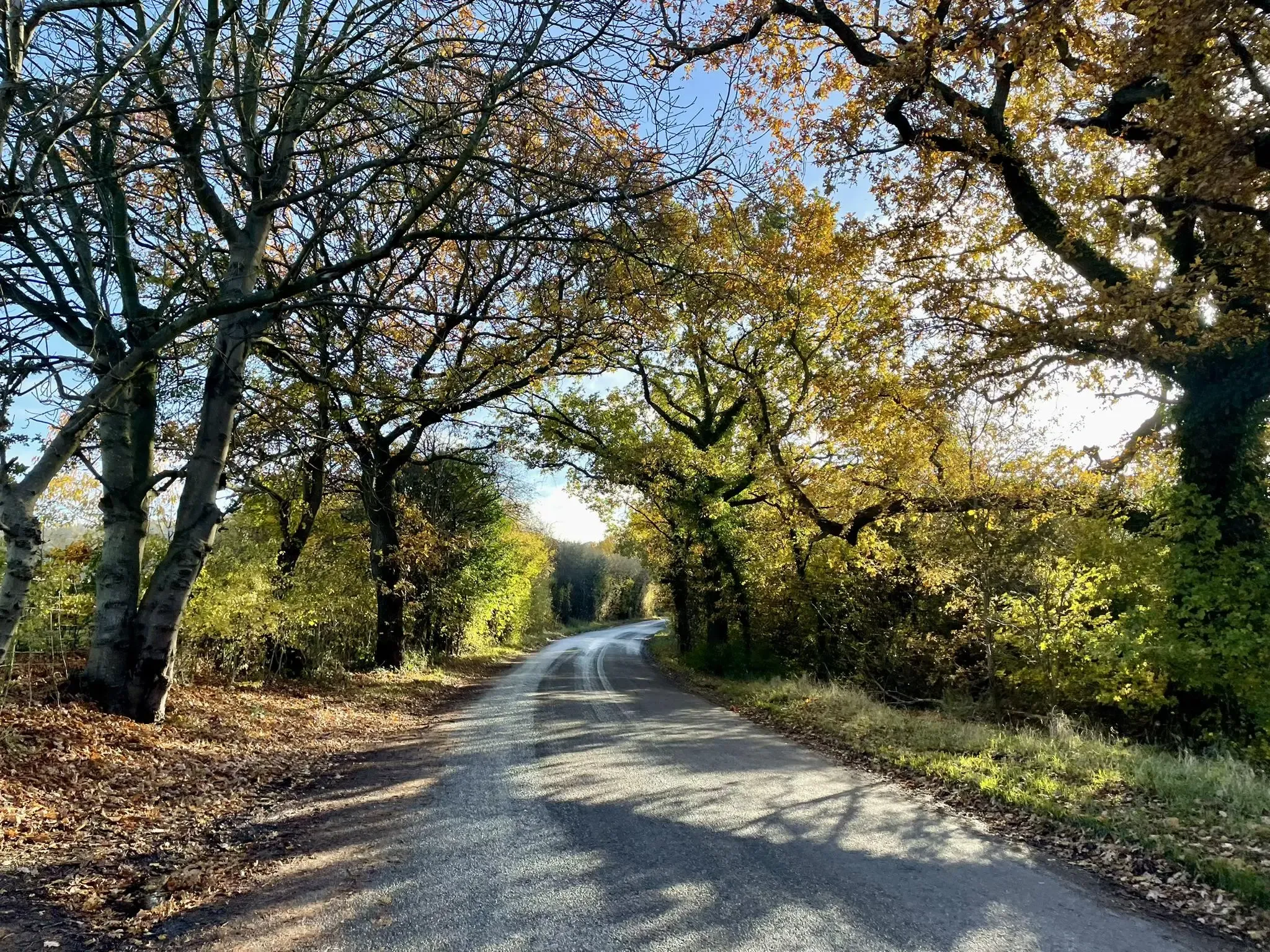
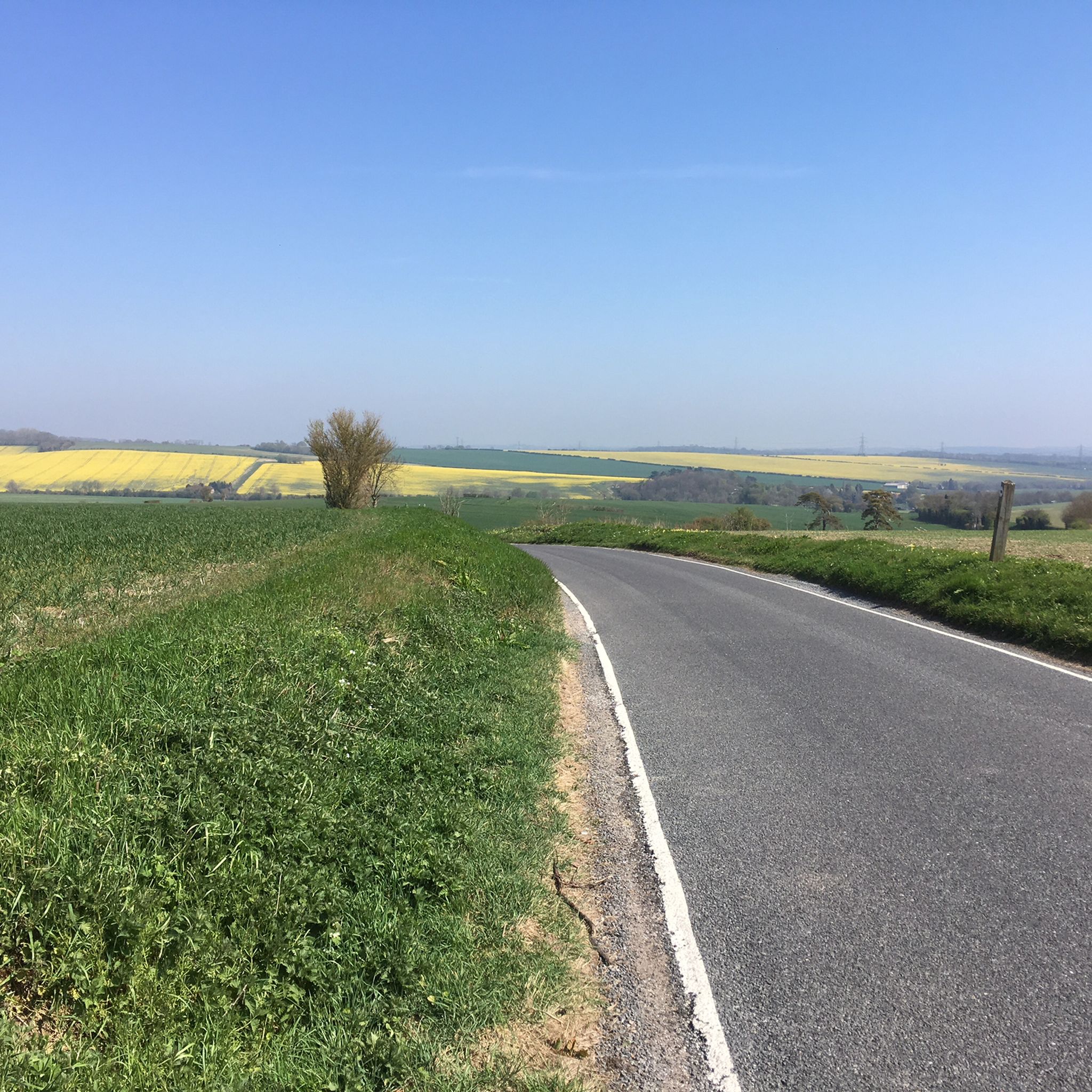
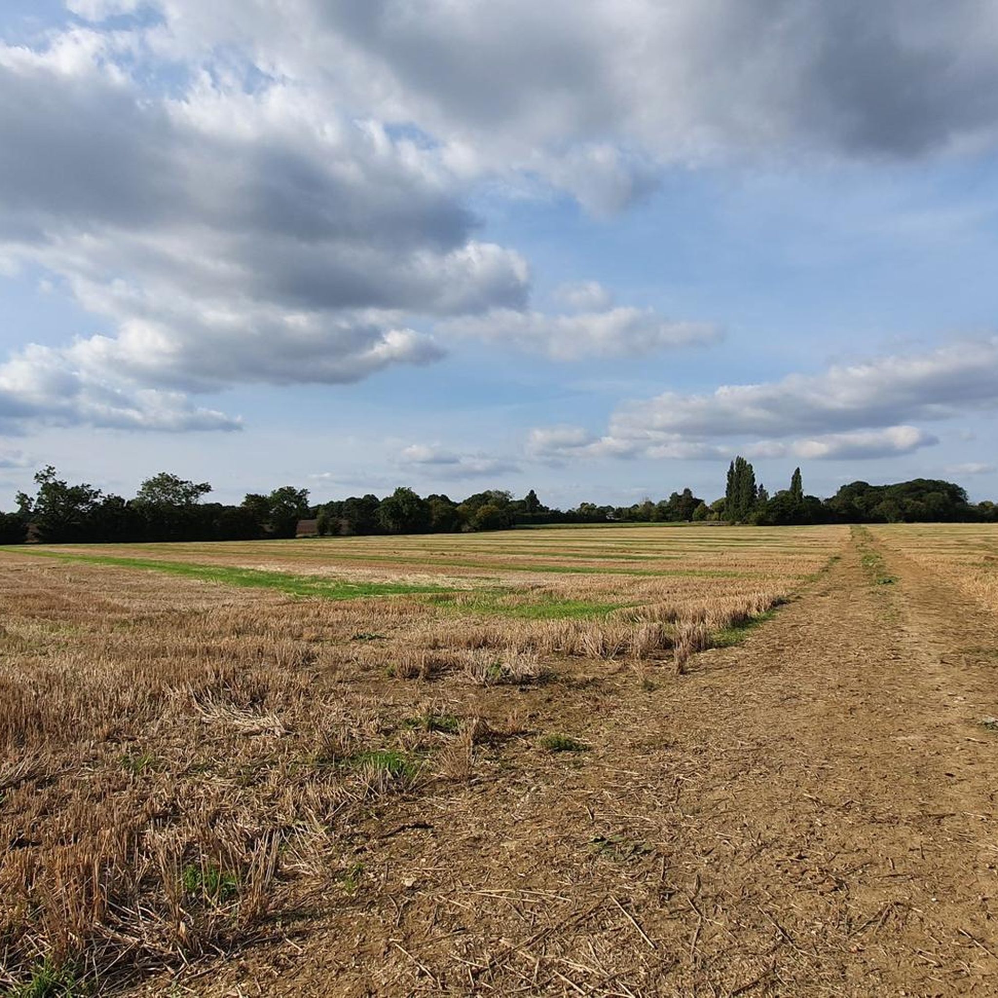
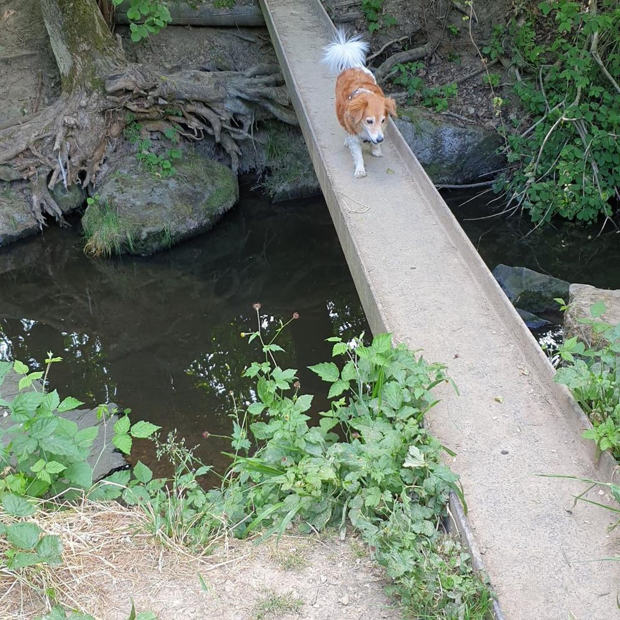
Other adventures around Stansted Mountfitchet

Tips from the Community

Watch out for pedestrians and dogs, great place to stop to refuel.
0
0
Easy route, suitable for all bikes and ages. Can be bumpy in places.
0
0

Bannister Green Halt was sited on the up side of the line and consisted of a clinker platform with timber facing raised to rail level; it was attended by staff from Felsted or Rayne Stations. It was one of two halts built by the GER in 1922 to attract passengers to the railway and counteract the then recently introduced bus service. Passengers joining or alighting at the halt were required to use retractable steps mounted by the side of the coach and operated by the guard.
0
0
The station closed in 1952, with the line being used for freight until it was closed in 1972. Only thing remains is crossing keeper's cottage
0
0

Heading out of Braintree you hit the main road after this point. Careful of the traffic!
0
0
Alot fly tipping over from the travellers site, beware of sharp objects on the cycleway.
0
0

Former halt on Flitch Way railway route. Great for a gravel bike ride!
0
0
Frequently Asked Questions
How many gravel bike trails are available around Stansted Mountfitchet?
There are over 10 gravel bike trails in the Stansted Mountfitchet area, offering a variety of experiences for different skill levels. These routes traverse diverse landscapes, from ancient forests to open agricultural lands.
What kind of terrain can I expect on gravel bike trails in Stansted Mountfitchet?
The terrain around Stansted Mountfitchet is quite varied. You'll encounter gentle chalk hills to the west and flatter, open clay lands to the east, often consisting of rich agricultural land. Routes frequently feature wide fields, ancient hedge-lined byways, and sections of true gravel, providing an exciting and diverse riding experience.
Are there any easy gravel bike routes suitable for beginners or families?
Yes, there are easy routes available. For a more relaxed ride, consider the View of Fields Near Newport – Green Croft Lane loop from Uttlesford, an 18.3 km trail that leads through wide fields and ancient byways, typically completed in about 1 hour 23 minutes.
Are there any long-distance gravel cycling routes in the area?
For those seeking a longer challenge, the Saffron Walden — Market Town – Audley End House loop from Audley End is a difficult 82.7 km path that explores historic market towns and country estates. Another option is the Flitch Way — East section – Flitch Way Cycle Path loop from Bishop's Stortford, a moderate 60.4 km trail traversing varied Essex countryside.
What natural attractions can I see along the gravel bike trails?
Many routes pass through or near significant natural features. A standout is Hatfield Forest, an ancient royal hunting forest with a beautiful lake, which you can find at Hatfield Forest Lake. The River Stort also forms part of the parish's southwestern boundary, offering picturesque scenery. You might also encounter other scenic spots like Scenic Country Lane.
Are there any historical landmarks or points of interest along the routes?
Yes, the region is rich in history. While cycling, you might pass by historic sites such as St John the Evangelist Church, Bush End. The wider Stansted Mountfitchet area also boasts attractions like Stansted Mountfitchet Castle, a reconstructed Norman castle, and the working 18th-century Stansted Mountfitchet Windmill.
What do other gravel bikers enjoy most about cycling in Stansted Mountfitchet?
The area is highly rated by the komoot community, with an average score of 4.2 stars from 6 reviews. Riders often praise the diverse landscape, from ancient royal hunting forests to gentle chalk hills and open clay lands, and the network of routes that cater to different ability levels.
Are there any circular gravel bike routes available?
Many of the routes in the Stansted Mountfitchet area are designed as loops, allowing for circular rides. For example, the Flitch Way road crossing – Flitch Way — East section loop from Great Dunmow is a moderate 27.7 km circular route, and the Cycle Stortford Meeting Point – Flitch Way Cycle Path loop from Bishop's Stortford offers a 33.5 km loop.
What is the best time of year for gravel biking in Stansted Mountfitchet?
The varied terrain, including clay lands and byways, can be affected by weather. While cycling is possible year-round, spring and autumn often offer pleasant temperatures and beautiful scenery. During wetter periods, some unpaved sections might become muddy, so checking local conditions is advisable.
Is there public transport access to the gravel trails in Stansted Mountfitchet?
Stansted Mountfitchet is well-connected, with Stansted Airport nearby and a railway station in the village. This makes it accessible by public transport, allowing you to reach the starting points of various gravel routes. Many routes are designed as loops, often starting and ending in accessible towns or villages.
Are there any specific byways or cycle paths recommended for gravel biking?
Yes, the area features several dedicated paths and byways ideal for gravel biking. The Flitch Way is a notable example, with sections like the Flitch Way — East section offering excellent gravel riding. You'll also find scenic byways such as Roos Byway and The Street (Gt Hormead to Stocking Pelham).
Most popular routes around Stansted Mountfitchet
Most popular attractions around Stansted Mountfitchet

Get inspired with the komoot mobile app


Explore more
Browse the best Gravel rides in other regions.
