The best MTB trails in Jugovzhodna Slovenija
4.6
(73)
806
riders
73
rides
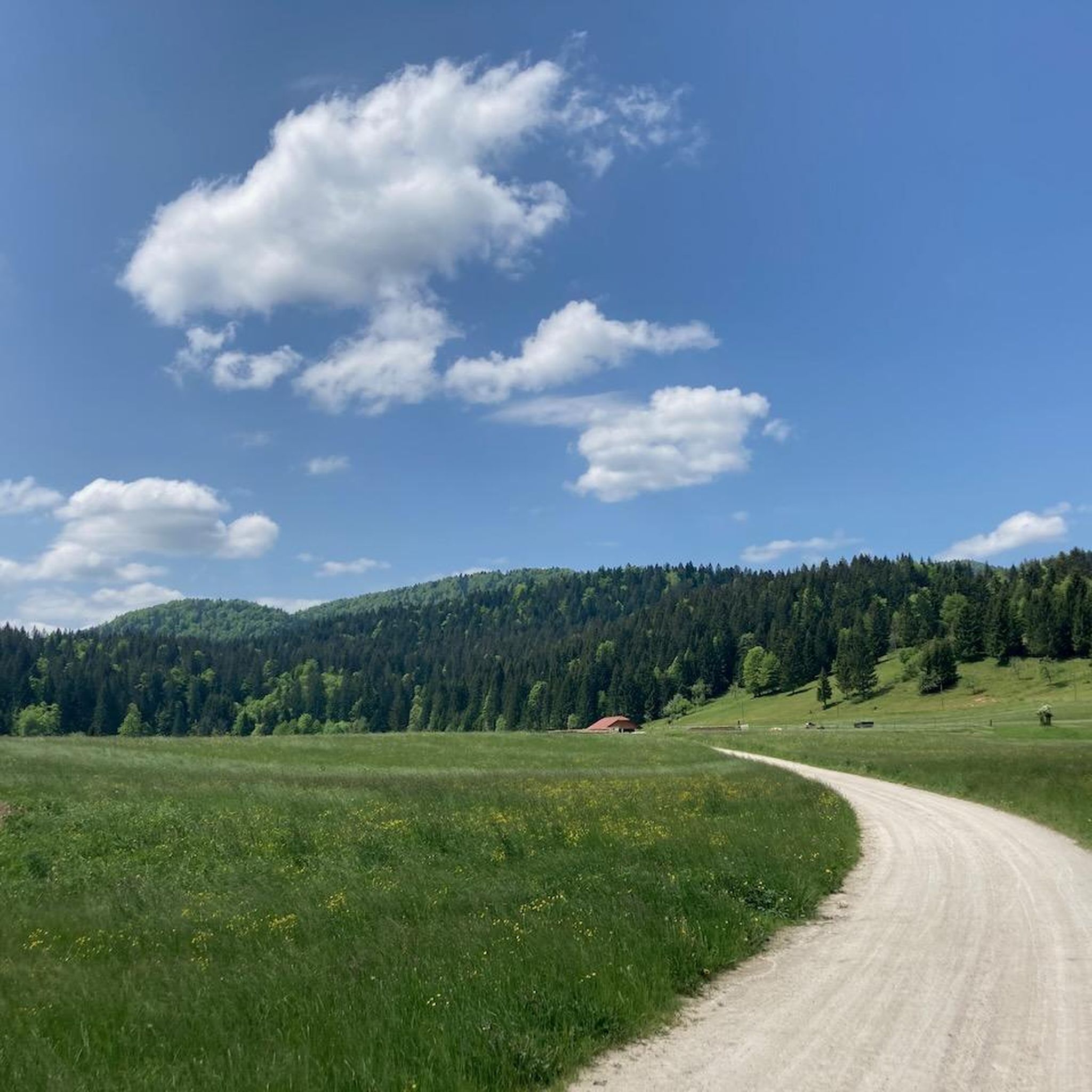
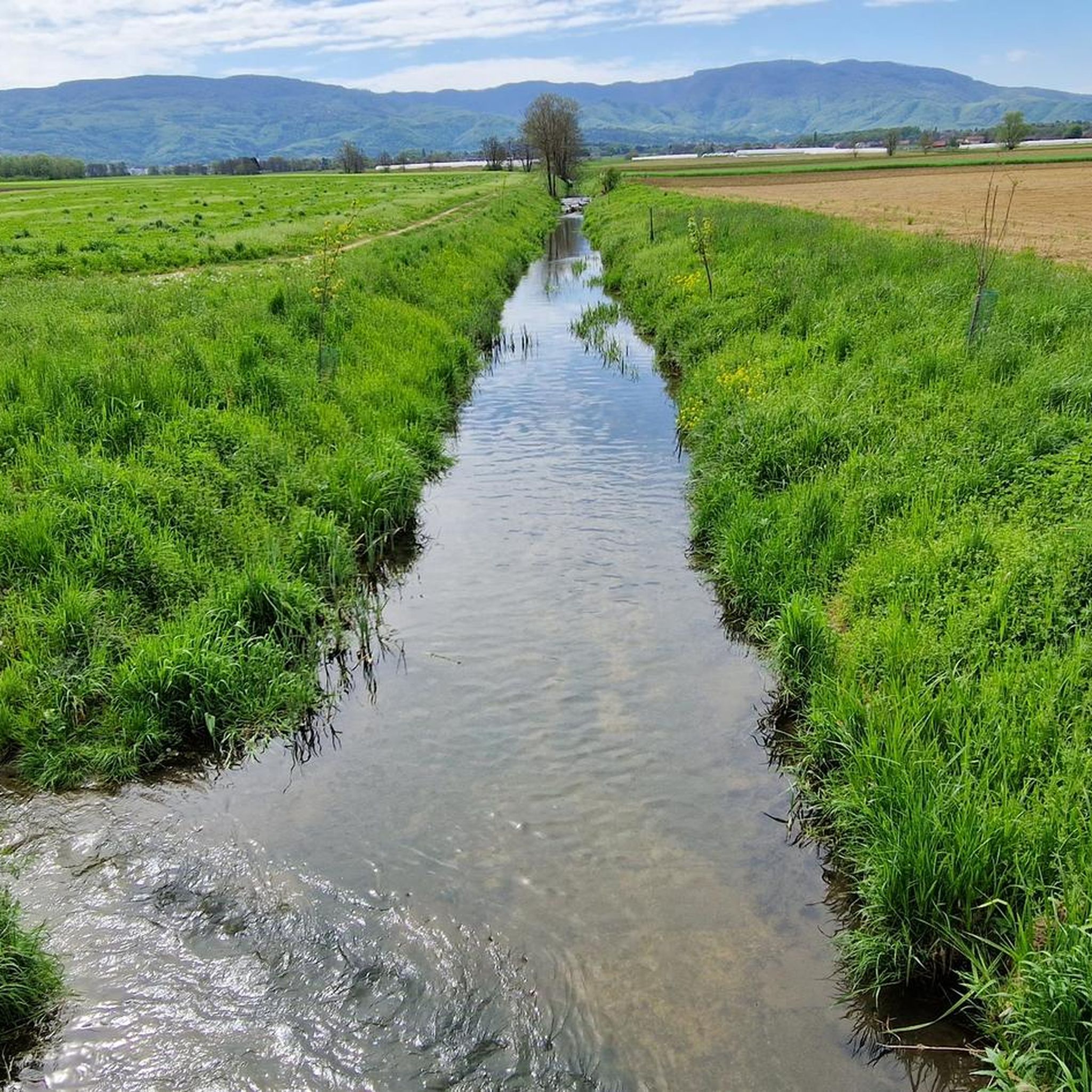
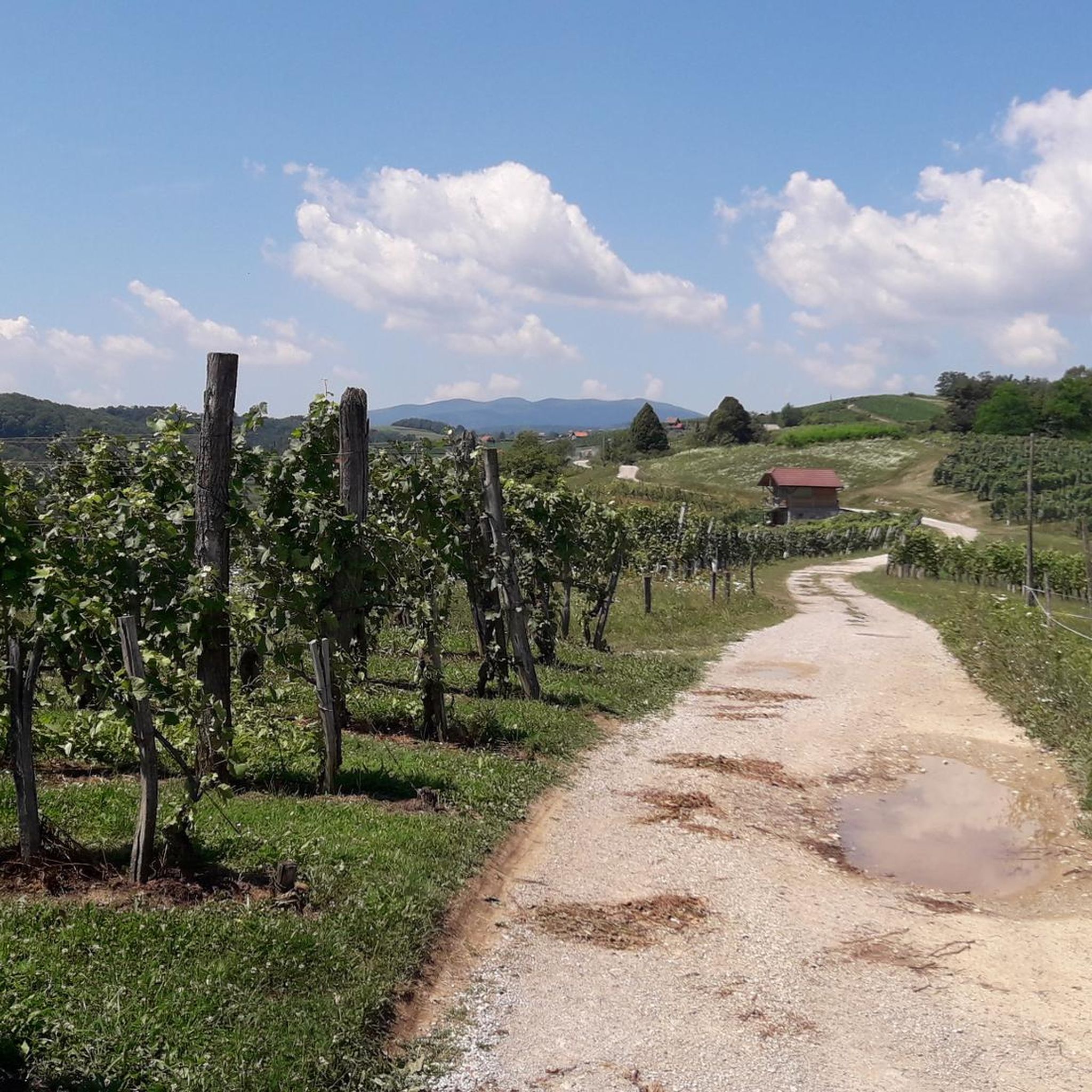
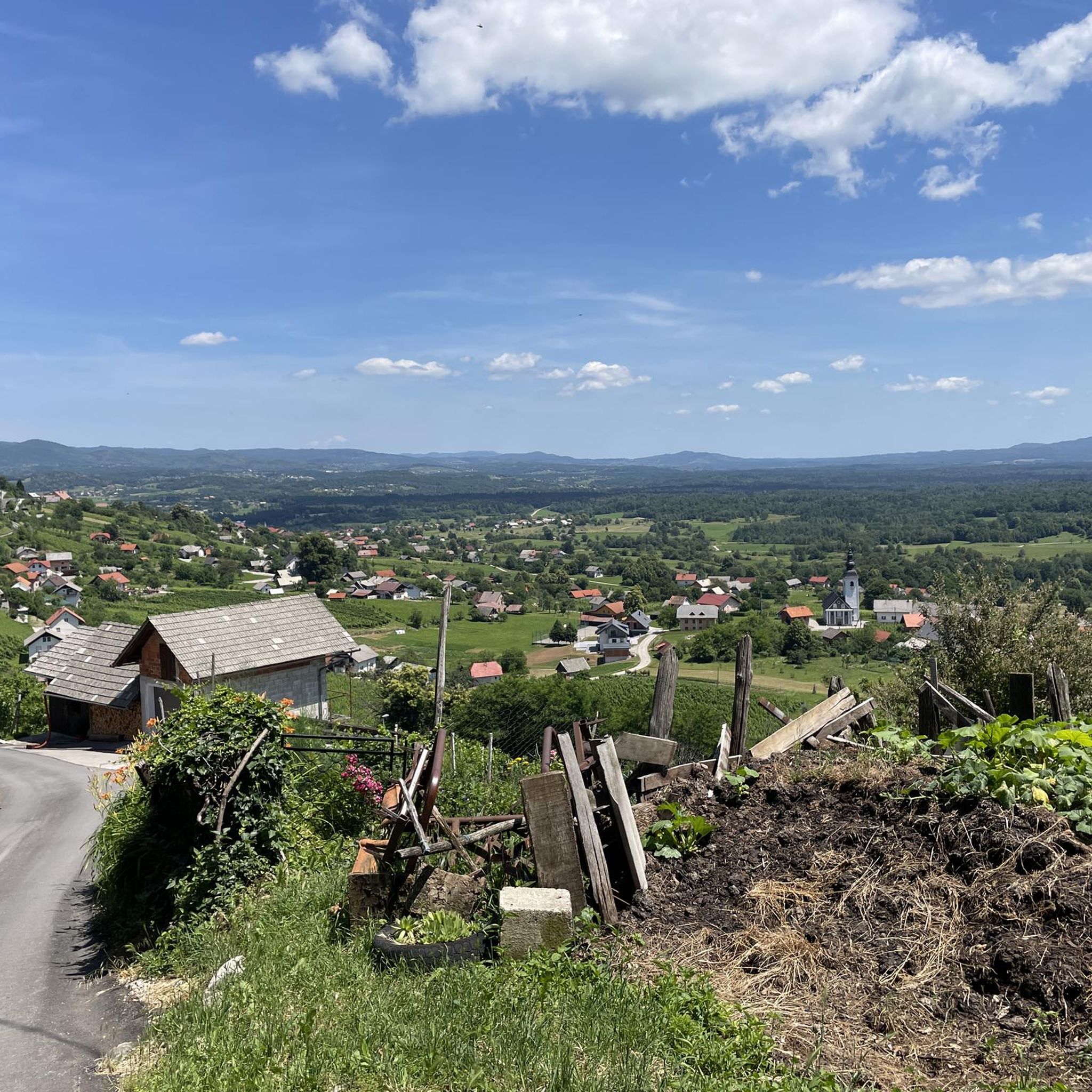
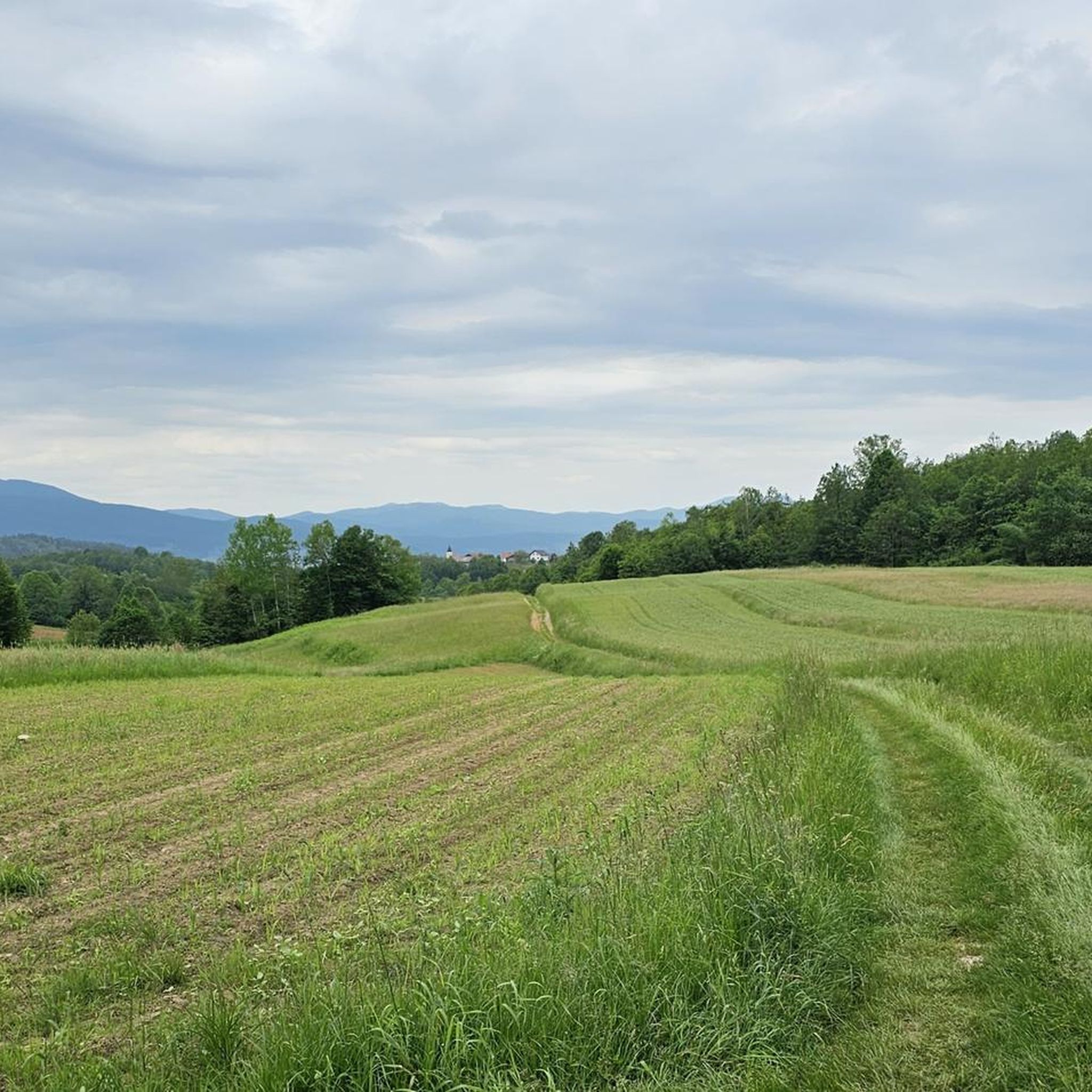
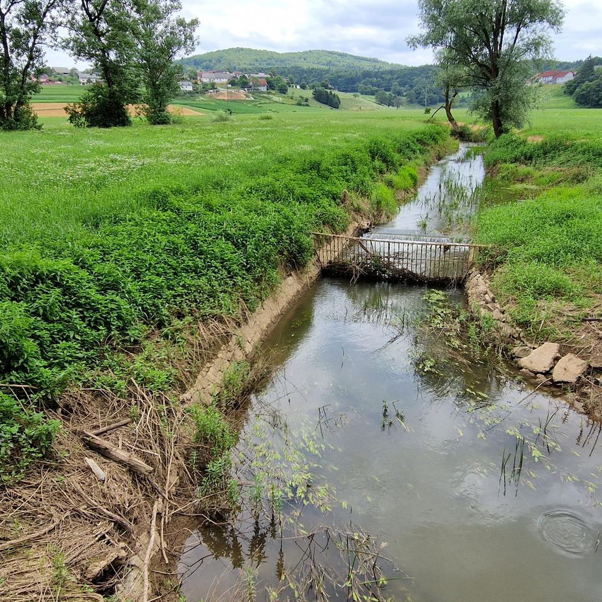
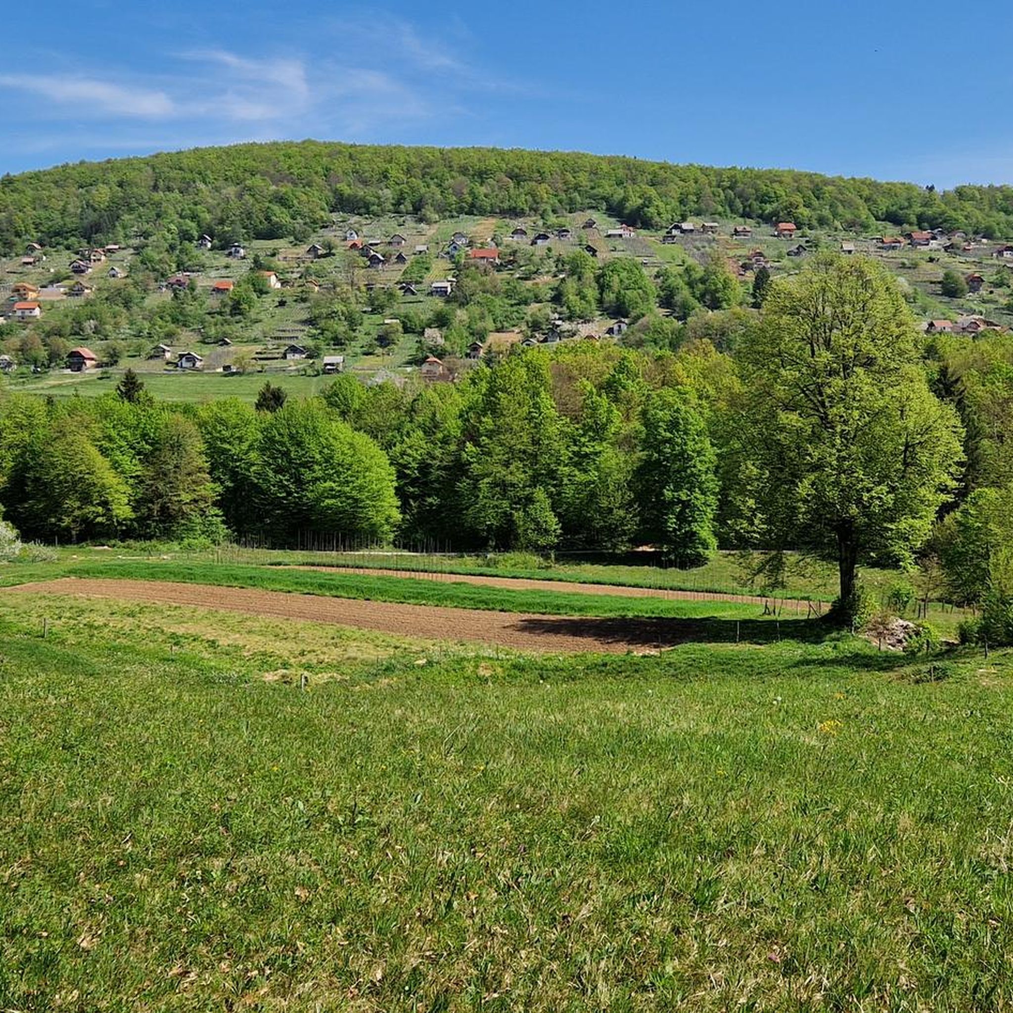
Mountain biking in Jugovzhodna Slovenija offers diverse landscapes with extensive forests, dynamic hilly terrain, and scenic river valleys. The region features numerous mountain roads, forest trails, and dirt roads, providing varied terrain for different activity levels. From the prominent Krka River to the elevated areas around Trdinov vrh, the area is characterized by a blend of peaceful countryside and natural features. This makes Jugovzhodna Slovenija an appealing destination for mountain bikers seeking varied routes.
Best mountain bike trails in Jugovzhodna…
Last updated: July 15, 2026
5.0
(1)
79
riders
22.6km
02:38
830m
830m
Hard mountain bike ride. Good fitness required. Advanced riding skills necessary. Some portions of the route may require you to push your bike.
5.0
(1)
45
riders
20.9km
02:09
590m
590m
Moderate mountain bike ride. Good fitness required. Suitable for all skill levels.

Sign up for free
37
riders
5.80km
00:42
230m
230m
Easy mountain bike ride. Great for any fitness level. Suitable for all skill levels.
3.5
(2)
16
riders
50.0km
04:11
840m
840m
Moderate mountain bike ride. Good fitness required. Advanced riding skills necessary.
4.0
(2)
23
riders
56.5km
05:00
860m
860m
Moderate mountain bike ride. Good fitness required. Suitable for all skill levels.
4.8
(4)
24
riders
51.2km
04:32
1,130m
1,130m
Hard mountain bike ride. Very good fitness required. Advanced riding skills necessary. Some portions of the route may require you to push your bike.
5.0
(3)
24
riders
46.0km
04:33
1,270m
1,270m
Hard mountain bike ride. Very good fitness required. Advanced riding skills necessary. Some portions of the route may require you to push your bike.
14
riders
39.4km
05:01
1,640m
1,640m
Hard mountain bike ride. Very good fitness required. Advanced riding skills necessary. Some portions of the route may require you to push your bike.
5.0
(2)
18
riders
49.4km
04:37
1,210m
1,210m
Hard mountain bike ride. Very good fitness required. Suitable for all skill levels.
5.0
(1)
21
riders
Easy mountain bike ride. Great for any fitness level. Suitable for all skill levels.
Get access to more routes and recommendations from other explorers.
Sign up for free
Already have an account?
Our route recommendations are based on thousands of hikes, rides, and runs completed by other people on komoot.
Start today with a free account
Your next adventure awaits.
Login or Signup
Other adventures in Jugovzhodna Slovenija


Tips from the Community

There are several buildings at the summit, including an open chapel and a huge radio mast. The panoramic view is very impressive.
0
0

The hut is located at an altitude of 829 meters and is open daily from May 1 to September 15, except Mondays and Tuesdays. There is a large guest room and terraces in front of the house. Rooms and shared dormitories can accommodate around 50 people. Further information can be found here: https://www.pzs.si/koce.php?pid=150.
1
0
The hut is located in a small clearing behind Mestni vrh in the Stojna Mountains. Near the hut is Jelenov studenec, a spring whose water never runs dry. The hut is open from Friday afternoon to Sunday evening and on public holidays. Further information can be found here: https://www.pzs.si/koce.php?pid=152.
1
0

Opening hours: https://www.xn--gospodina-rfb.si/si/obratovalnii-cas/
1
0

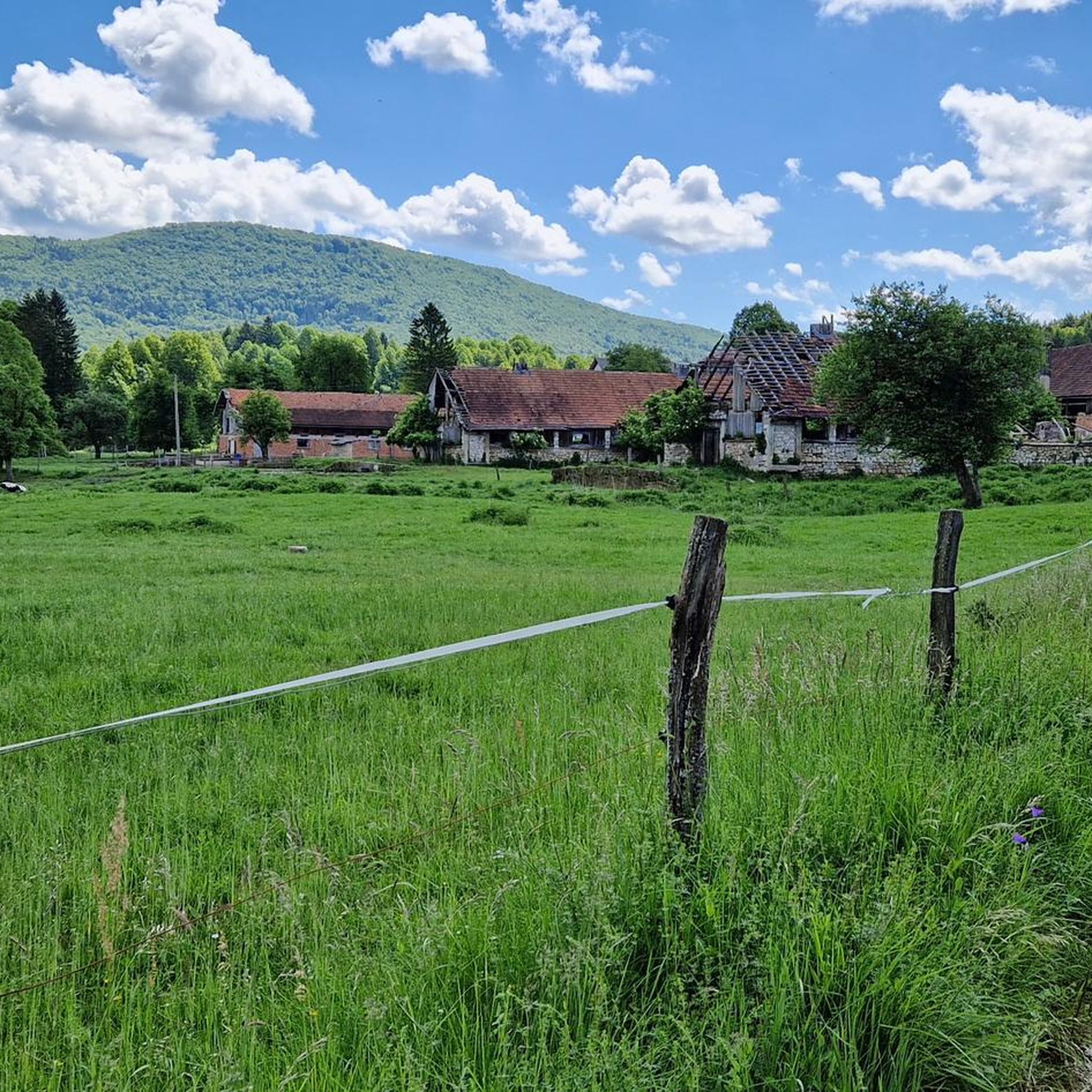
In the most extensive karst field of Žumberačka gora lies the village of Sošice, a place whose oldest name - Sussiz, was mentioned for the first time in a document signed by Bernard, the owner of the nearby fortress Sichelberg (Old Town Žumberak) in 1249. Along with five other places on Žumberk, Sošice was then donated to the newly founded Cistercian monastery in Kostanjevica. When the next time in the 16th century mentioned again in the documents, the Žumberac area, ravaged by Turkish conquests, has already become part of the Military Border. Thanks to its location, Sošice has been not only one of the largest settlements in Žumberac since ancient times, but also the most distinctive center of Žumberac. Today, they are one of the most visited tourist spots in Žumberka.
0
0
Sveta Gera is the highest peak of Žumberačka gora. It is located almost on the Slovenian border. The top is a wide undulating glade 350 meters long. Near the top is a disputed military facility that was abandoned by the former JNA in 1991, after which it was occupied by the Slovenian army. Since 1923, Slovenians have called the peak Trdinov vrh after Janez Trdina, a writer from Novi Mesto.
0
0


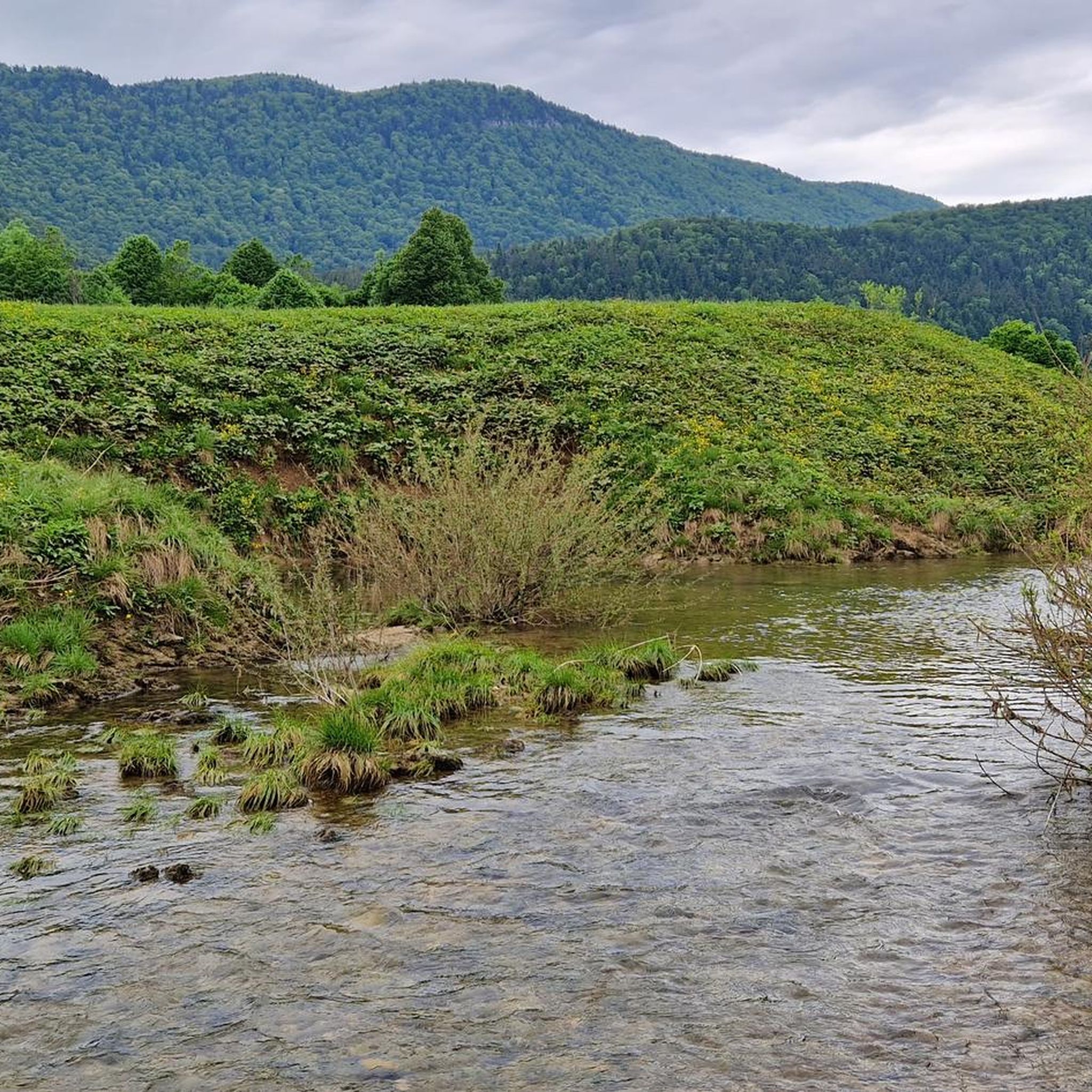
The Divji Potok river flows here mostly through a forested landscape conservation area. Its bed consists of dolomite rock and there are many small waterfalls, pools and rapids.
1
0
Frequently Asked Questions
How many mountain bike trails are available in Jugovzhodna Slovenija?
There are over 70 mountain bike trails in Jugovzhodna Slovenija, catering to various skill levels. You'll find 9 easy routes, 46 moderate routes, and 18 difficult routes, ensuring options for everyone from beginners to experienced riders.
What kind of terrain can I expect when mountain biking in Jugovzhodna Slovenija?
Jugovzhodna Slovenija offers a diverse landscape for mountain biking, characterized by extensive forests, dynamic hilly terrain, and scenic river valleys. You'll encounter numerous mountain roads, forest trails, and dirt roads. While some paths can be technically challenging, there are also flatter roads connecting villages, particularly in the river valleys like the Krka and Kolpa.
Are there any family-friendly mountain bike trails in Jugovzhodna Slovenija?
Yes, Jugovzhodna Slovenija offers several family-friendly options. For an easier ride, consider the Start of Veronika Flow Trail – MTB Trail Center Kočevje loop from Fridrihštajn, which is 3.6 miles (5.8 km) long and rated easy. The region's less advanced routes often follow flatter roads in valleys, providing a gentler experience for families.
Where can I find dedicated mountain biking infrastructure in the region?
The MTB Trail Center Kočevje is a popular spot with dedicated mountain biking infrastructure. You can explore routes like the MTB Trail Center Kočevje – Start of Veronika Flow Trail loop from Kočevje, which is a moderate 14.2 km path.
What are some scenic mountain bike trails with viewpoints in Jugovzhodna Slovenija?
For rewarding views, consider routes that ascend to higher elevations. The Sveta Gera Summit – Trdinov Vrh (1178 m) loop from Gabrje offers significant elevation gain and panoramic vistas. Another option is the View of the Mountain Landscape – Krvavi Kamen (Blood Stone) loop from Birčna Vas, which provides excellent mountain views.
Are there any circular mountain bike routes in Jugovzhodna Slovenija?
Many mountain bike routes in Jugovzhodna Slovenija are designed as loops, allowing you to start and finish in the same location. Examples include the challenging Sveta Gera Summit – Trdinov Vrh (1178 m) loop from Gabrje and the moderate Kočevje Town Center and Lake – Old Railway Route to Rog loop from Kočevje.
What kind of natural attractions can I see along the mountain bike trails?
Jugovzhodna Slovenija is rich in natural features. You might encounter picturesque river valleys, such as those formed by the Krka and Kolpa rivers. The region also features unique karst formations, including mysterious caves like Malikovec Karst Cave and the Luknja Natural Monument and Temenica River Source. For stunning views, look for routes near peaks like Trdinov vrh (Trdina Peak).
Are there any historical or cultural landmarks accessible by mountain bike?
Yes, the region boasts several historical and cultural sites. While mountain biking, you could pass near attractions like Chapel of St. Gere. The broader region is home to notable sites such as Otočec Castle and Žužemberk Castle, which offer interesting points to visit during your outdoor excursions.
What do other mountain bikers say about the trails in Jugovzhodna Slovenija?
The mountain bike trails in Jugovzhodna Slovenija are highly rated by the komoot community, with an average score of 4.7 stars from over 60 reviews. Riders often praise the diverse landscapes, the extensive network of forest trails, and the blend of peaceful countryside with challenging ascents.
What is the best time of year to go mountain biking in Jugovzhodna Slovenija?
Spring is an excellent time for mountain biking in Jugovzhodna Slovenija. The trails dry out, wildflowers bloom, and the weather is generally pleasant for exploring the forests and hills. The region offers a green and natural environment, making it enjoyable throughout the warmer months.
Are there any long-distance mountain bike routes in the area?
Yes, there are several longer routes for those seeking a more extensive ride. The MTB Trail Center Kočevje – Kočevje Town Center and Lake loop from Kočevje covers 56.2 km, and the Gače Ski Resort – Old Railway Route to Rog loop from Črmošnjice is a challenging 49.4 km route.
Can I find challenging mountain bike trails in Jugovzhodna Slovenija?
Absolutely. Jugovzhodna Slovenija offers 18 difficult mountain bike routes for experienced riders. Trails like the Sveta Gera Summit – Trdinov vrh (Trdina Peak) loop from Novo mesto Center, spanning 45.9 km with over 1200m of elevation gain, provide significant technical and physical challenges.
Most popular routes in Jugovzhodna Slovenija
Most popular attractions in Jugovzhodna Slovenija

Get inspired with the komoot mobile app


Didn’t find what you were looking for?
Check out more MTB trails throughout Jugovzhodna Slovenija below and find the perfect route in your destination.
Explore more
Browse the best MTB trails in other regions.
