Storrington And Sullington
Storrington And Sullington
The best gravel rides around Storrington And Sullington
4.8
(22)
292
riders
49
rides
Gravel biking around Storrington And Sullington offers diverse terrain across the West Sussex countryside. The region features a mix of rolling hills, river valleys, and sections of the South Downs, providing varied surfaces for gravel cyclists. Trails often follow historic paths like the Downs Link and traverse areas with open views and woodland sections. This landscape provides options for both leisurely rides and more challenging routes with elevation changes.
Best gravel bike trails around Storrington And Sullington
- The most popular…
Last updated: May 22, 2026
5
riders
Moderate gravel ride. Good fitness required. Mostly paved surfaces. Suitable for all skill levels.
5.0
(4)
13
riders
33.5km
02:06
240m
240m
Moderate gravel ride. Good fitness required. Mostly paved surfaces. Suitable for all skill levels.

Sign up for free
3
riders
16.8km
01:19
240m
240m
Moderate gravel ride. Good fitness required. Mostly paved surfaces. Suitable for all skill levels.
5.0
(1)
8
riders
53.7km
03:22
410m
410m
Moderate gravel ride. Good fitness required. Mostly paved surfaces. Suitable for all skill levels.
8
riders
50.2km
02:59
320m
320m
Moderate gravel ride. Good fitness required. Mostly paved surfaces. Suitable for all skill levels.
Get access to more routes and recommendations from other explorers.
Sign up for free
Already have an account?
Our route recommendations are based on thousands of hikes, rides, and runs completed by other people on komoot.
Start today with a free account
Your next adventure awaits.
Login or Signup
Popular around Storrington And Sullington
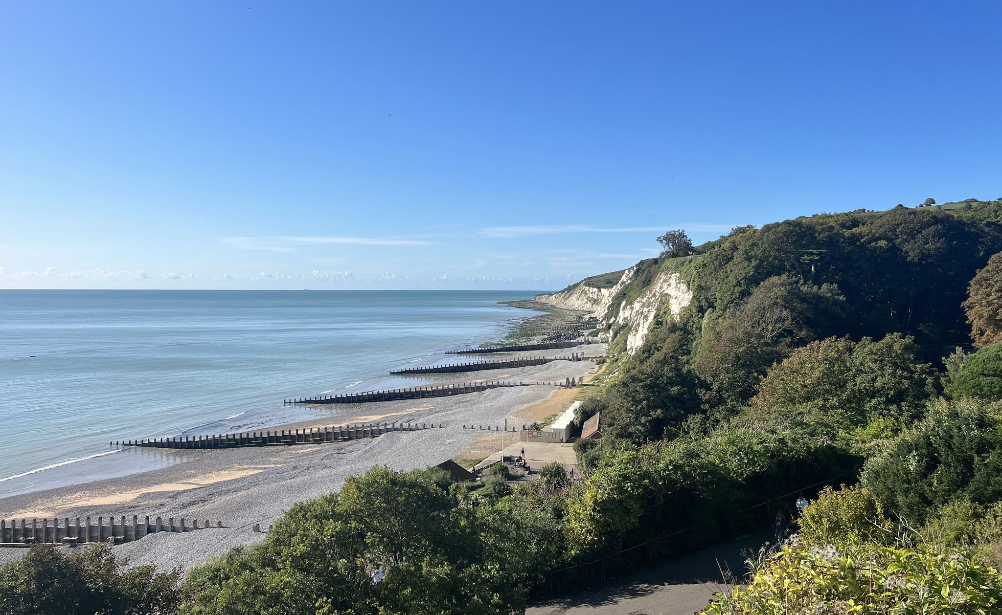
South Downs National Park – A Walk in the Parks
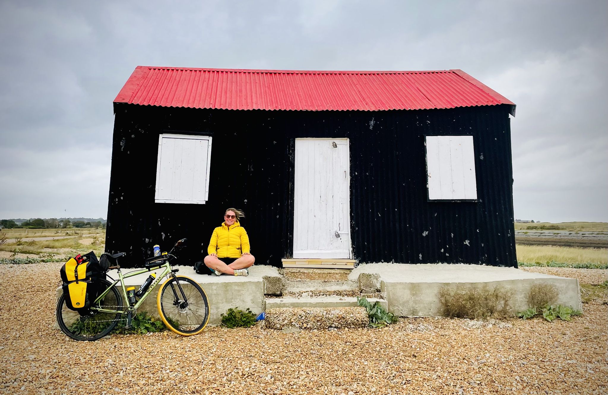
Sussex 1000 — A bikepacking adventure from Hammer to Camber
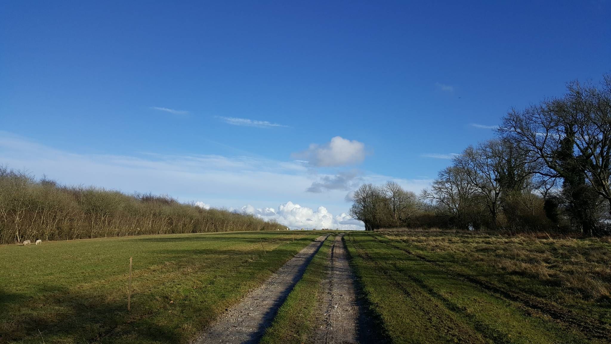
The hill seeker's chalky white dream — South Downs 300
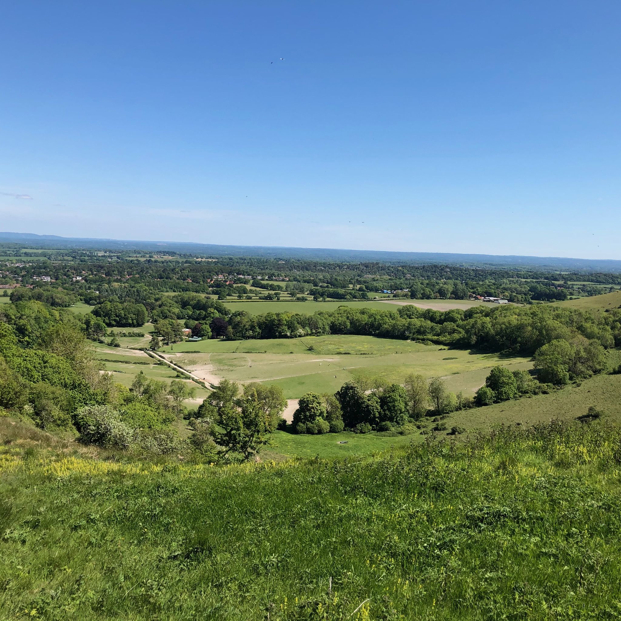
Hiking around Storrington And Sullington
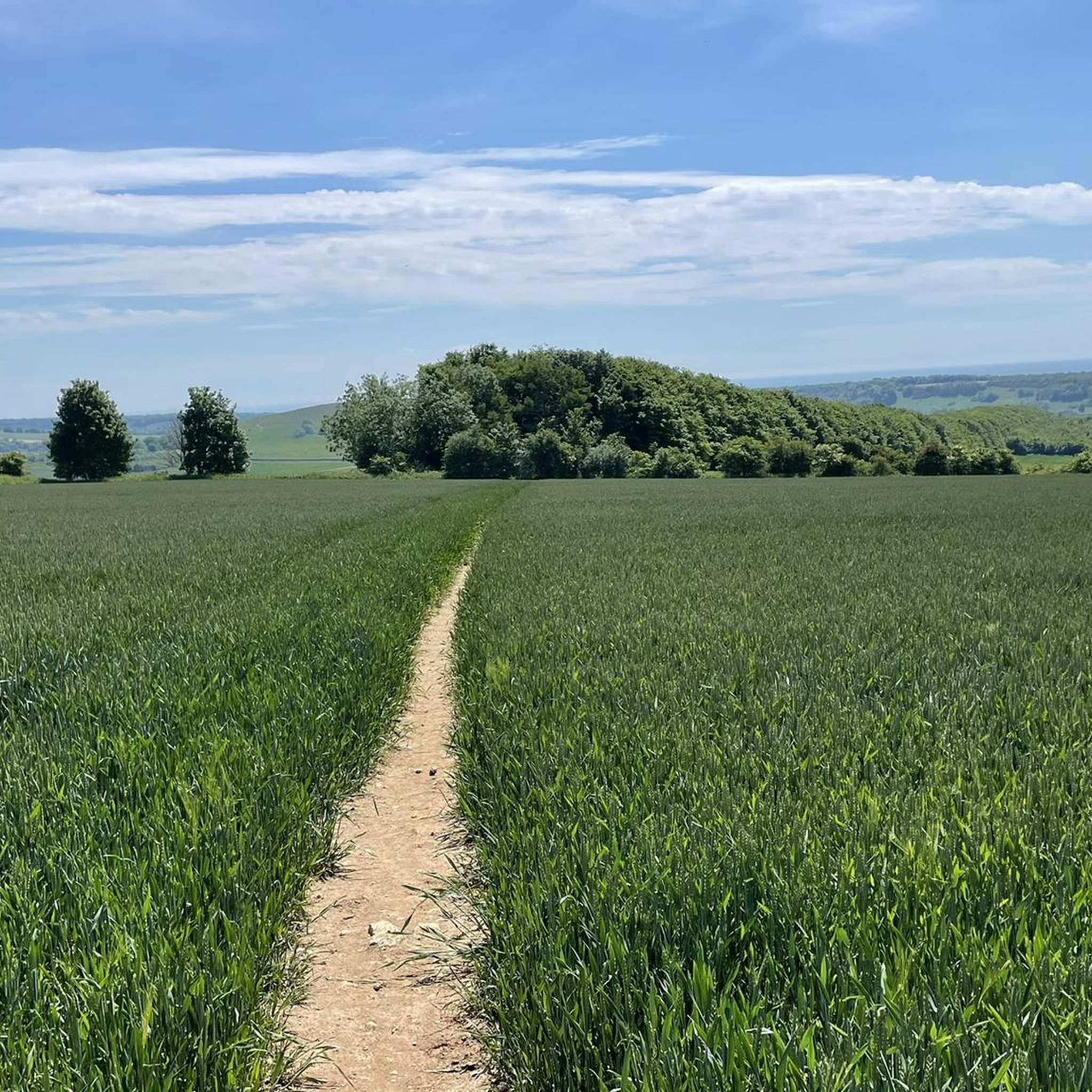
Running Trails around Storrington And Sullington
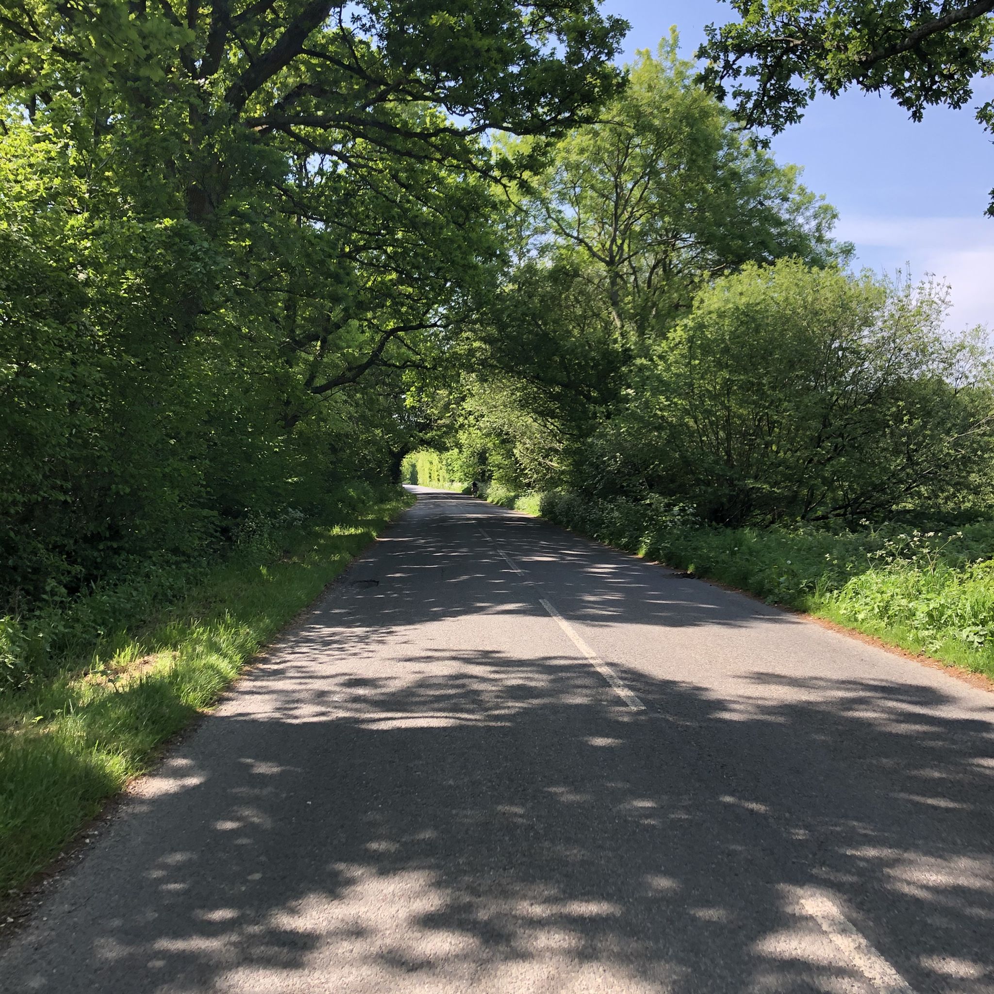
Road Cycling Routes around Storrington And Sullington
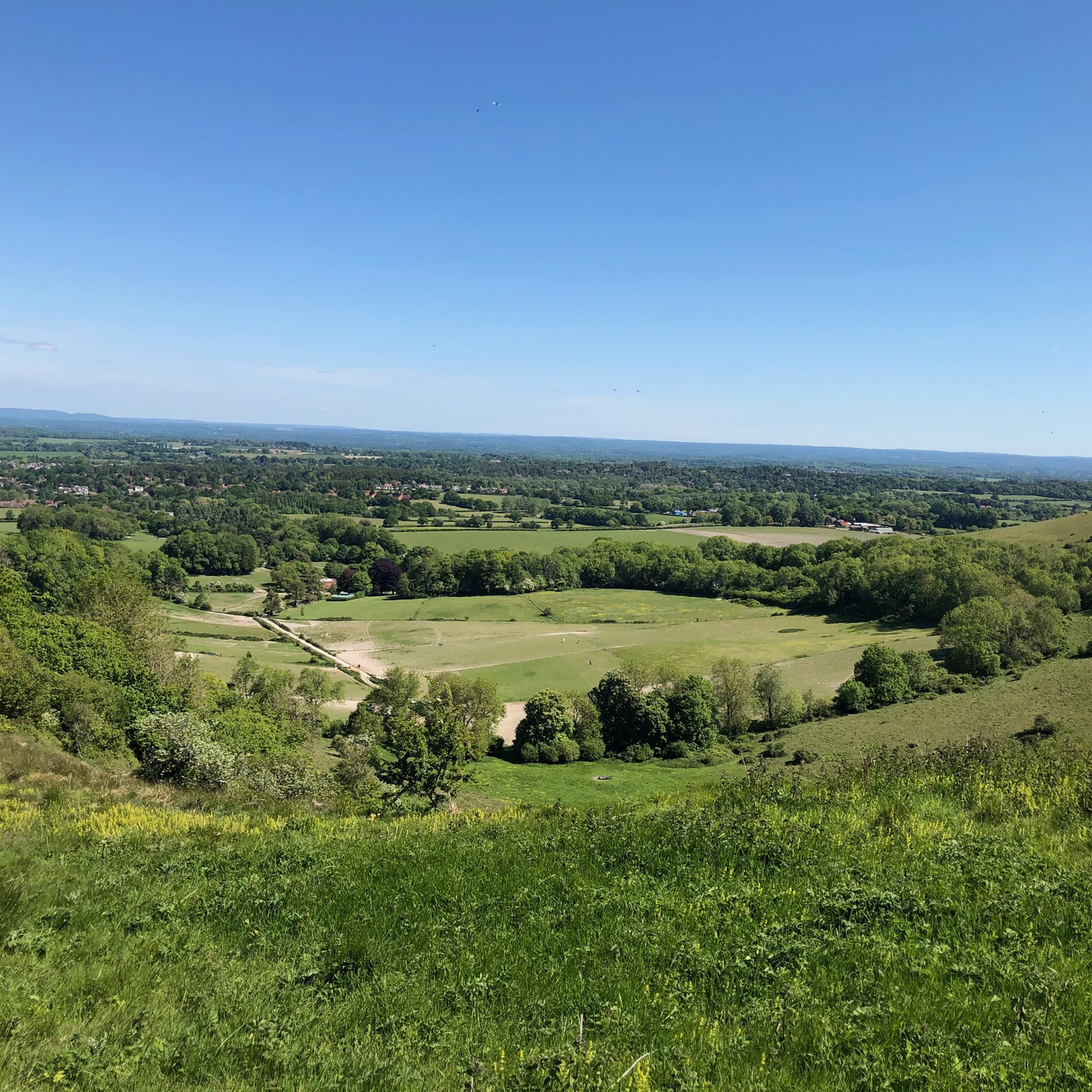
Cycling around Storrington And Sullington
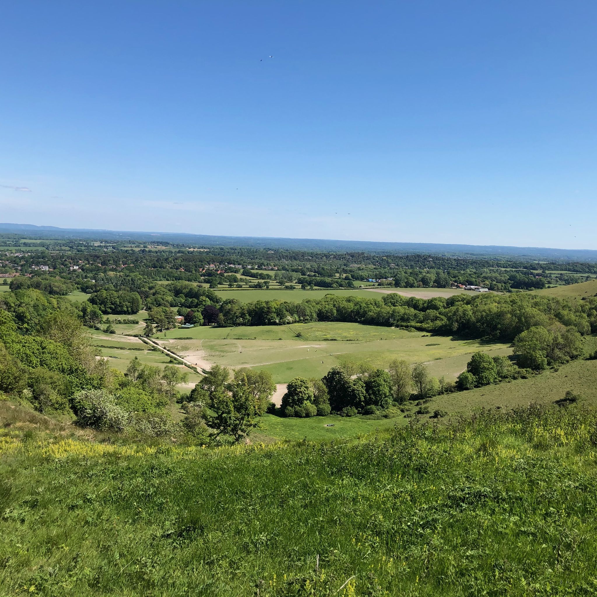
MTB Trails around Storrington And Sullington
Other adventures around Storrington And Sullington


Tips from the Community

Lots of old railway infastruction still in place or use changed. From bridges, a tunnel, railway crossings and old station platforms.
1
0


The Downs Link is a section of the long-distance bridleway through the West Sussex countryside. Along the way you'll enjoy scenic views of rolling fields, woodlands, open countryside, and sections will cross the River Adur.
1
0
Frequently Asked Questions
How many gravel bike trails are available around Storrington And Sullington?
The region around Storrington And Sullington offers a wide selection of gravel bike trails, with over 50 routes recorded on komoot. These trails cater to various skill levels, from leisurely rides through river valleys to more challenging routes with significant elevation changes across the South Downs.
Are there easy gravel bike trails suitable for beginners or families?
Yes, Storrington And Sullington has options for beginners and families. While many routes are moderate, you can find shorter, less strenuous paths. For instance, the Barpham Hill Summit – Wepham Down Bridleway loop from Angmering is a good option, offering a 16.7 km ride with manageable elevation, making it suitable for those looking for a less demanding experience.
Where can I find more challenging gravel bike routes in the area?
For experienced gravel bikers seeking a challenge, routes with more significant elevation gain and longer distances are available. The Bramber Castle and High Street – Downs Link at Botolphs loop from High Salvington Windmill is a difficult 46 km route with over 600 meters of ascent, providing a demanding ride through varied terrain.
What kind of scenery can I expect on gravel bike trails around Storrington And Sullington?
Gravel bike trails in this region offer diverse and scenic views. You'll encounter rolling hills, tranquil river valleys, and sections of the iconic South Downs. Many routes traverse ancient woodlands and open countryside, providing panoramic vistas of the West Sussex landscape. The South Downs Way Trail – Downs Link along the River Adur loop from Findon combines riverside paths with sections of the South Downs Way, offering a mix of landscapes.
Are there any circular gravel bike routes?
Many of the gravel bike trails around Storrington And Sullington are designed as loops, allowing you to start and finish at the same point. Examples include the Downs Link along the River Adur – Shoreham Old Toll Bridge loop from Findon, which explores the River Adur valley, and the longer Rudgwick Double Bridge – Parkstreet Lane Bridge loop from Pulborough.
What are some interesting landmarks or attractions to see along the trails?
The region is rich in historical and natural points of interest. You might pass by ancient hill forts like Chanctonbury Ring hillfort or Cissbury Ring Hill Fort. Other notable spots include Bignor Hill summit and Roman road signpost, offering historical context and expansive views.
What is the best season for gravel biking in Storrington And Sullington?
The diverse terrain of Storrington And Sullington makes it suitable for gravel biking year-round. Spring and autumn offer pleasant temperatures and vibrant scenery, while summer provides longer daylight hours. Even in winter, many trails remain accessible, though some unpaved sections might be muddier, requiring appropriate tire choice and gear.
Are there places to eat or drink along the gravel bike routes?
While specific cafes and pubs directly on every trail vary, the villages and towns surrounding the routes, such as Storrington, Sullington, and Pulborough, offer various options for refreshments. Many routes pass close to these settlements, allowing for convenient stops to refuel.
What do other gravel bikers enjoy most about the trails in this area?
The gravel biking routes around Storrington And Sullington are highly rated by the komoot community, with an average score of 4.8 stars from over 30 reviews. Riders frequently praise the varied terrain, from chalk ridges to river valleys, and the beautiful ancient woodlands. The network offers a good mix of options for different ability levels, ensuring an enjoyable experience for many.
Is public transport available to access trailheads?
Storrington and Sullington are served by local bus routes, and nearby towns like Pulborough have train stations, which can provide access points to the wider network of trails. Planning your route in advance and checking local transport schedules is recommended to find the most convenient access points for your chosen trail.
Where can I park my car when starting a gravel bike ride?
Parking is generally available in the towns and villages near the trailheads, such as Storrington, Sullington, Findon, Pulborough, and Angmering. Look for public car parks or designated parking areas. Always check local signage for any parking restrictions or fees.
Most popular routes around Storrington And Sullington
Most popular attractions around Storrington And Sullington

Get inspired with the komoot mobile app


Explore more
Browse the best Gravel rides in other regions.
