The best gravel rides around Fulking
4.6
(91)
920
riders
96
rides
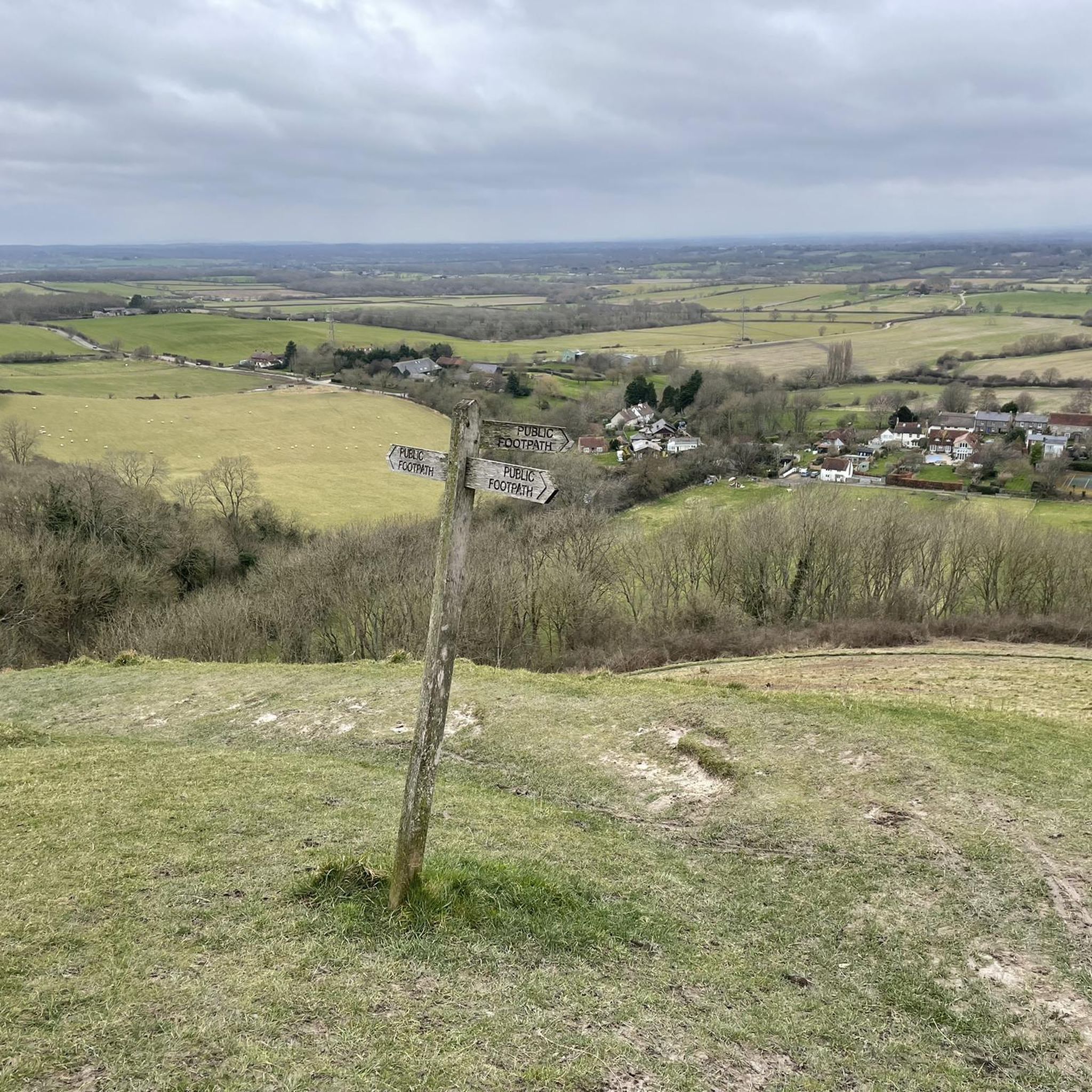
Gravel biking around Fulking offers access to the varied terrain of the South Downs National Park. The area features rolling chalk hills, open downland, and a dramatic chalk escarpment, with Fulking Hill being a notable local elevation. Routes often traverse a mix of surfaces, including woodlands and chalk grasslands, providing diverse riding conditions. The landscape transitions to undulating clay vales north of the village, creating a mixed arable and pastoral environment ideal for gravel cycling.
Best gravel bike trails around…
Last updated: November 16, 2026
5.0
(2)
31
riders
84.6km
07:04
1,390m
1,390m
Hard gravel ride. Very good fitness required. You may need to push your bike for some segments of this route.
5.0
(2)
34
riders
Moderate gravel ride. Good fitness required. Mostly paved surfaces.

4.8
(9)
51
riders
Easy gravel ride. Mostly paved surfaces.
5.0
(1)
24
riders
33.2km
02:11
190m
190m
Moderate gravel ride. Good fitness required. Mostly paved surfaces.
4.3
(3)
36
riders
50.7km
03:23
280m
280m
Moderate gravel ride. Good fitness required. Mostly paved surfaces.
Get access to more routes and recommendations from other explorers.
Already have an account?
Our route recommendations are based on thousands of hikes, rides, and runs completed by other people on komoot.
Start today with a free account
Your next adventure awaits.
Tips from the Community


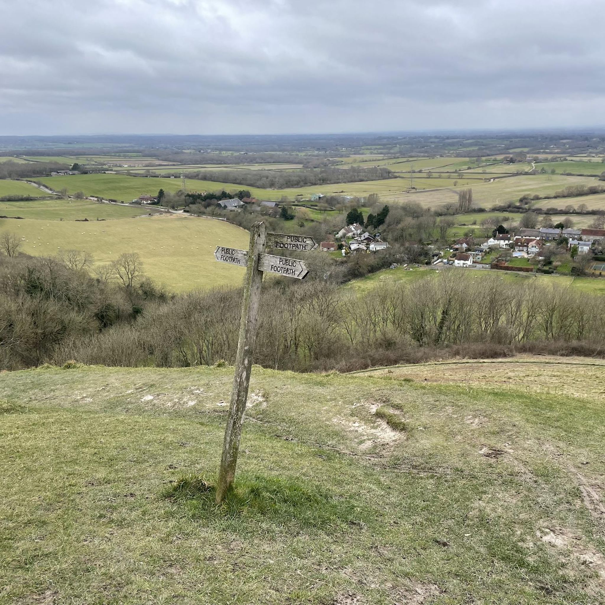
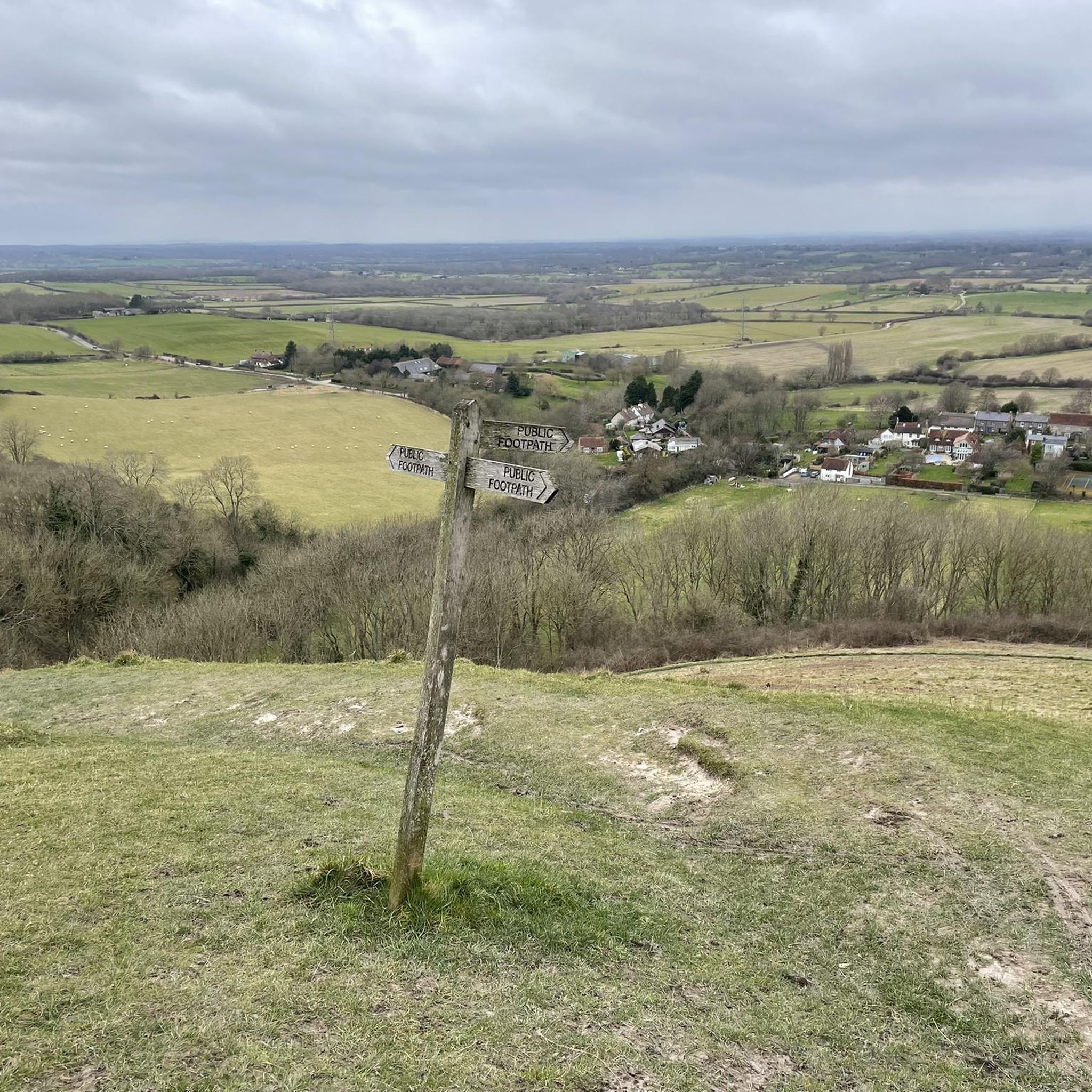
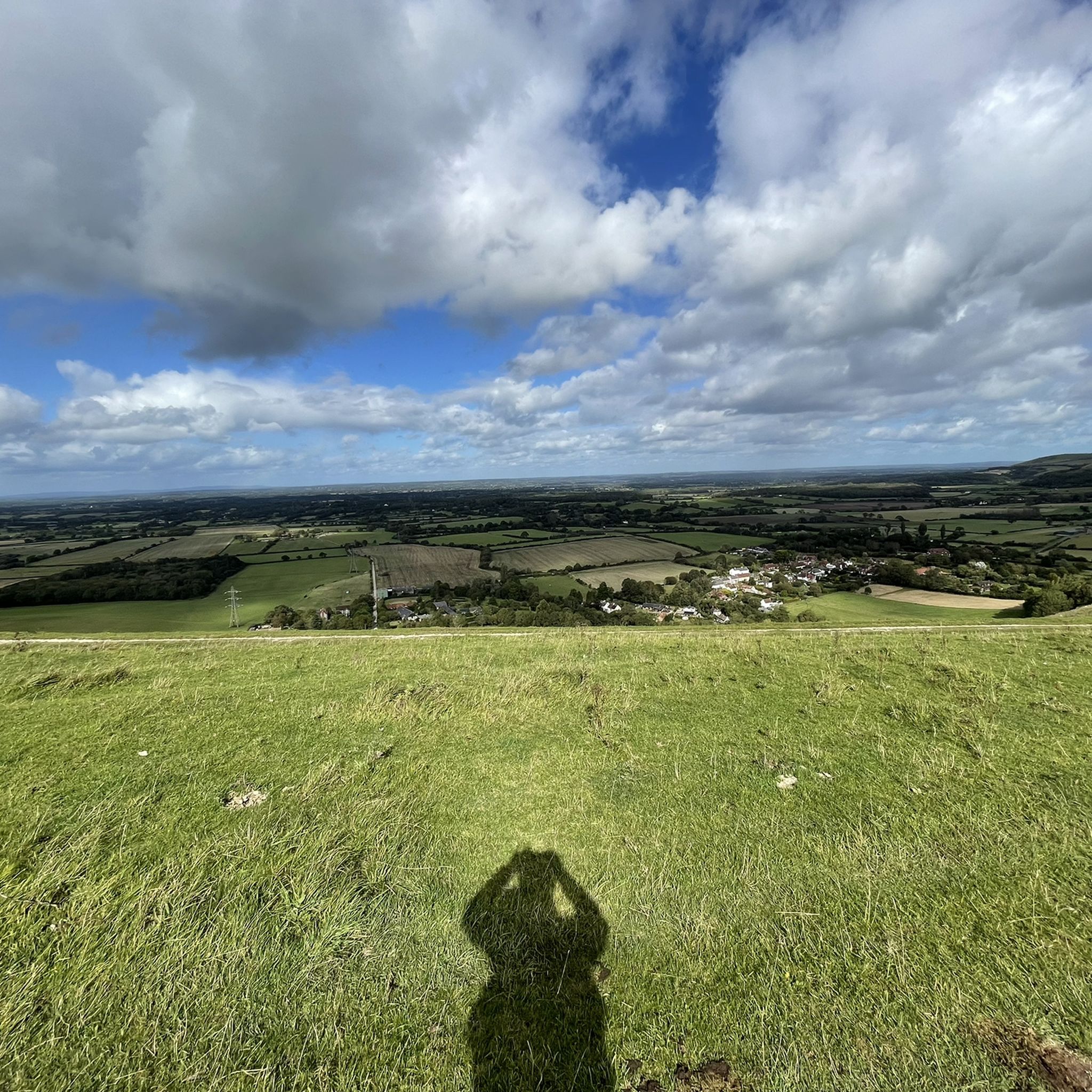
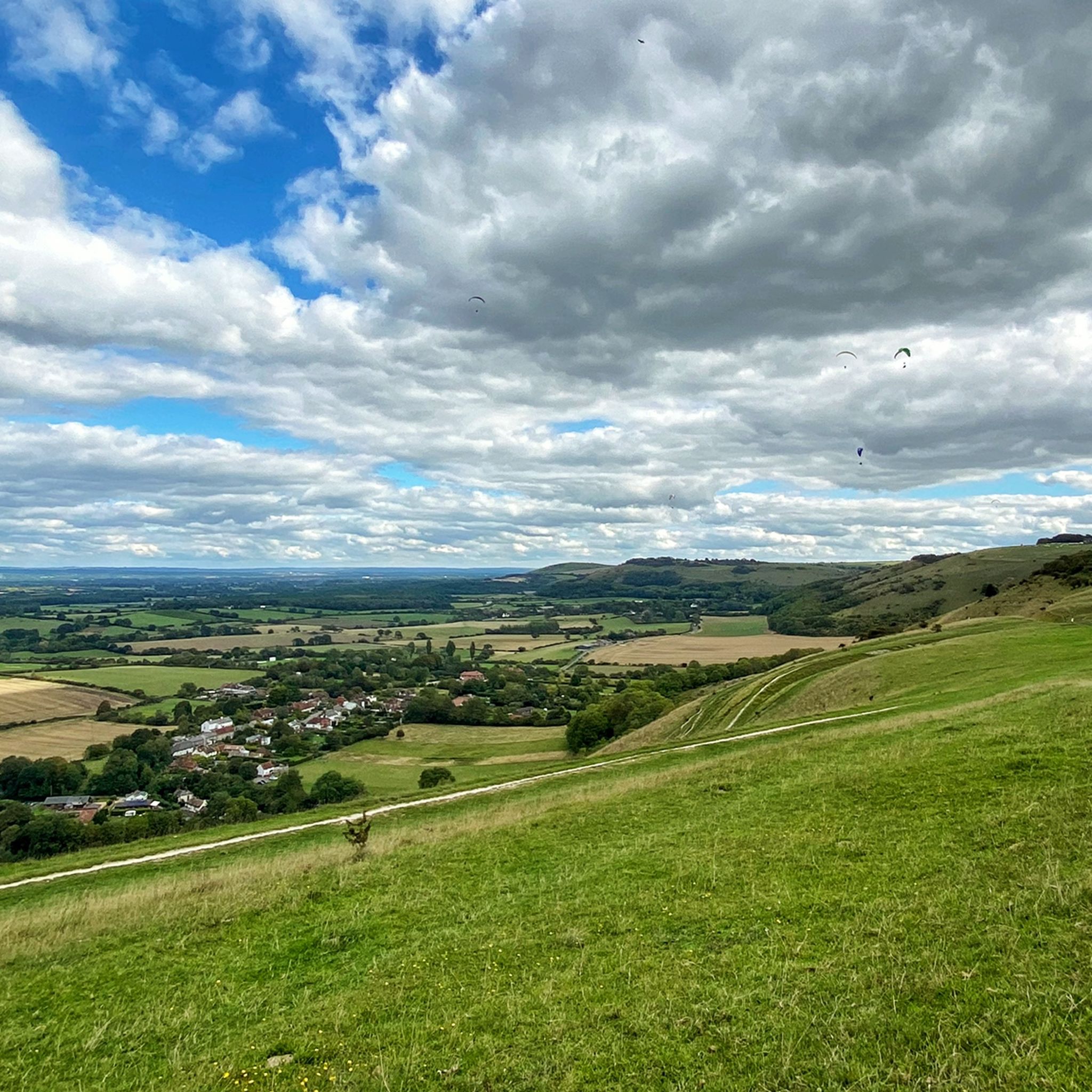
The Adur river valley is a very scenic area!
1
0

Breath takingvviews looking over the South Downs and River Adur Crossing
0
0

Lots of old railway infastruction still in place or use changed. From bridges, a tunnel, railway crossings and old station platforms.
1
0

A view worth the climb. Be prepared for a steep uphill that keeps on going
0
0


Very picturesque. Check out the view from the bridge.
0
0
Frequently Asked Questions
How many gravel bike trails are available around Fulking?
There are over 110 gravel bike trails around Fulking listed on komoot, offering a wide range of options for exploring the South Downs National Park. These routes are highly rated by the komoot community, with an average score of 4.6 stars from over 70 reviews.
What kind of terrain can I expect on gravel bike trails near Fulking?
Gravel biking around Fulking offers a diverse mix of terrain. You'll encounter rolling chalk hills, open downland, and a dramatic chalk escarpment, with areas like Fulking Hill providing challenging ascents and rewarding views. Routes often traverse woodlands and chalk grasslands, and to the north of the village, the landscape transitions to undulating clay vales, creating a varied arable and pastoral environment. This provides a true multi-surface riding experience.
Are there gravel bike trails suitable for beginners in Fulking?
Yes, Fulking offers options for various ability levels. While the area is known for its challenging ascents, there are 10 easy routes available. For a moderate introduction to the area's gravel biking, consider the View of Shoreham Estuary – Downs Link along the River Adur loop from Portslade, which is 17.5 miles (28.2 km) long and generally takes about 2 hours.
What natural landmarks or viewpoints can I see while gravel biking around Fulking?
The trails around Fulking offer access to stunning natural features and viewpoints within the South Downs National Park. You can experience the dramatic chalk escarpment, with panoramic views from places like Devil's Dyke Trig Point. The area also features chalk grasslands and woodlands, which are Sites of Special Scientific Interest, rich in plant life and birdwatching opportunities. Other notable natural monuments include Ditchling Beacon and Wolstonbury Hill.
Are there any historical sites or attractions along the gravel routes?
Yes, many routes pass by sites of historical and cultural interest. You might encounter prehistoric barrows on Fulking Hill, traces of ancient field patterns, or even a small Norman motte and bailey castle on Edburton Hill. For example, the Bramber Castle and High Street – West Grinstead Station loop from Steyning explores historic sites and charming villages.
Are there circular gravel bike routes around Fulking?
Yes, many of the gravel routes around Fulking are designed as loops, allowing you to start and finish in the same location. An example is the West Grinstead Station – The Downs Link loop from Woodmancote, a moderate 33.6 km (20.9 miles) trail that offers varied scenery.
Can I find cafes or pubs along the gravel bike trails in Fulking?
The village of Fulking itself, with its conservation area status and historic buildings, offers a charming starting or ending point for rides, often featuring a traditional pub like 'The Shepherd and Dog'. Many routes also pass through or near other villages in the South Downs, providing opportunities for refreshment stops.
What are some options for longer gravel bike rides near Fulking?
For a longer and more challenging gravel ride, consider the Downs Link along the River Adur – View of the South Downs loop from Shoreham-by-Sea. This difficult 52.5 miles (84.5 km) trail follows the historic Downs Link path and offers expansive views of the South Downs, typically taking around 8 hours and 41 minutes to complete.
Is the South Downs Way accessible from Fulking for gravel biking?
Yes, Fulking's proximity to the South Downs Way, a long-distance path that traverses the chalk ridge, offers significant opportunities for gravel cyclists to explore expansive sections of the national park. Many local routes connect to or run parallel with parts of the South Downs Way.
What is the best time of year for gravel biking in Fulking?
The varied terrain of Fulking, including chalk hills and woodlands, makes it enjoyable across different seasons. Spring and autumn offer pleasant temperatures and vibrant landscapes. During winter, some unpaved sections might be muddier, especially in the clay vales, so appropriate tires and gear are recommended. Summer provides longer daylight hours but can be busier.
Are there any specific challenges or steep sections to be aware of?
Yes, the area is characterized by a dramatic chalk escarpment, meaning you can expect significant ascents, particularly when climbing onto the South Downs. Fulking Hill, for instance, is the highest point in the parish at 659 feet above sea level. These climbs, while challenging, are manageable for those with good fitness and offer rewarding panoramic views.
Most popular attractions around Fulking

Get inspired with the komoot mobile app


Explore more
Browse the best Gravel rides in other regions.
