The best gravel rides around Itteringham
4.9
(7)
79
riders
11
rides
Gravel biking around Itteringham offers routes through the flat, rural landscape of Norfolk. The area is characterized by former railway lines converted into multi-use paths, river valleys, and managed estate woodlands. These routes typically feature well-maintained gravel surfaces, suitable for various skill levels. The terrain generally presents minimal elevation changes, making it accessible for longer distances.
Best gravel bike trails around Itteringham
- The most popular gravel bike trail is Marriott's Way – Marriott's Way loop from Aylsham, a 30.2…
Last updated: July 16, 2026
4.7
(3)
30
riders
48.3km
03:30
190m
190m
Moderate gravel ride. Good fitness required. Mostly paved surfaces. Suitable for all skill levels.
8
riders
58.5km
03:17
230m
230m
Moderate gravel ride. Good fitness required. Mostly paved surfaces. Suitable for all skill levels.

Sign up for free
6
riders
39.2km
02:53
210m
210m
Moderate gravel ride. Good fitness required. Mostly paved surfaces. Suitable for all skill levels.
8
riders
Easy gravel ride. Great for any fitness level. Mostly paved surfaces. Suitable for all skill levels.
5.0
(3)
8
riders
30.2km
02:05
110m
110m
Moderate gravel ride. Good fitness required. Mostly paved surfaces. Suitable for all skill levels.
Get access to more routes and recommendations from other explorers.
Sign up for free
Already have an account?
Our route recommendations are based on thousands of hikes, rides, and runs completed by other people on komoot.
Start today with a free account
Your next adventure awaits.
Login or Signup
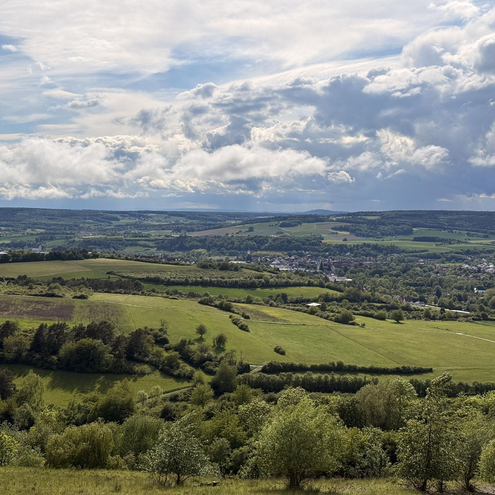
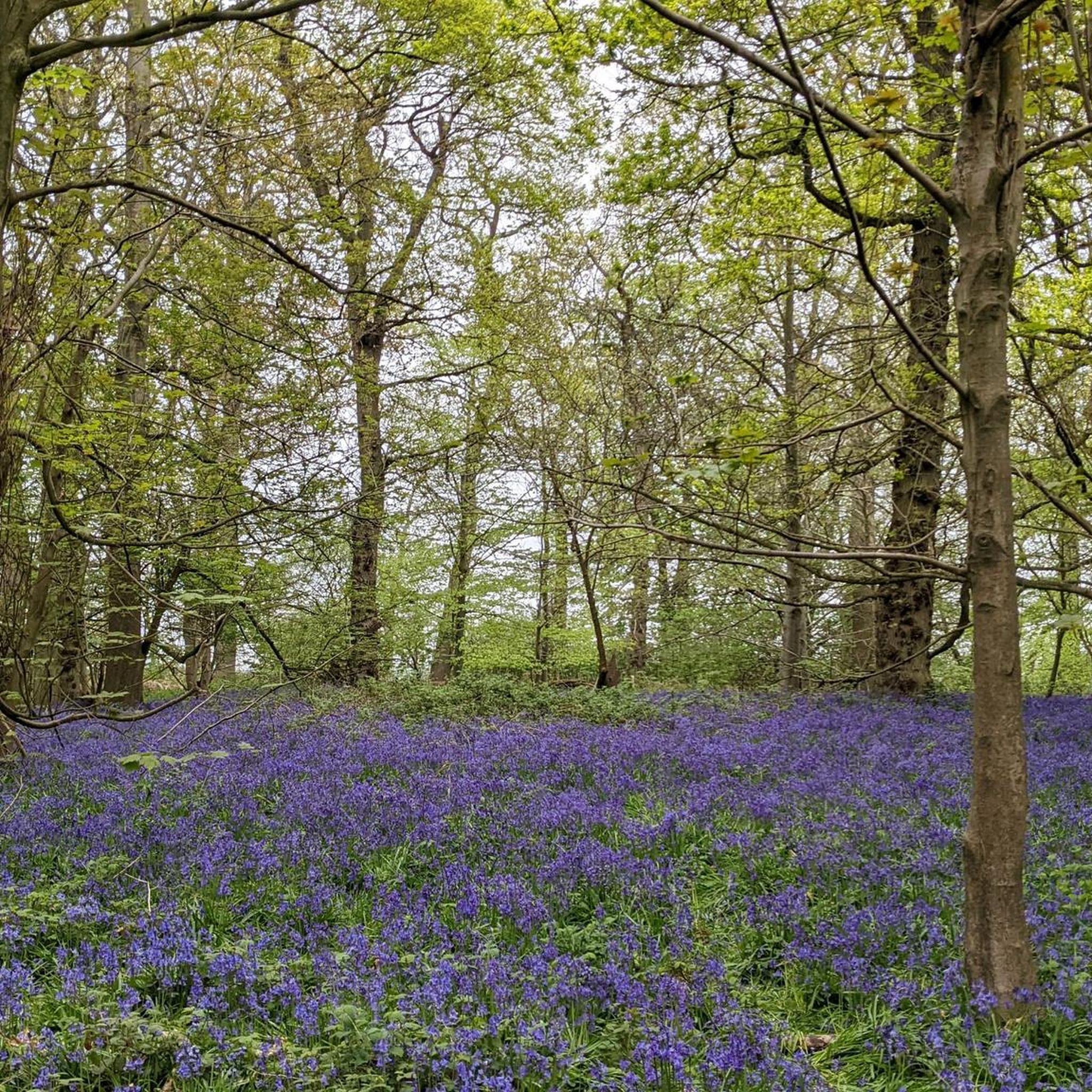
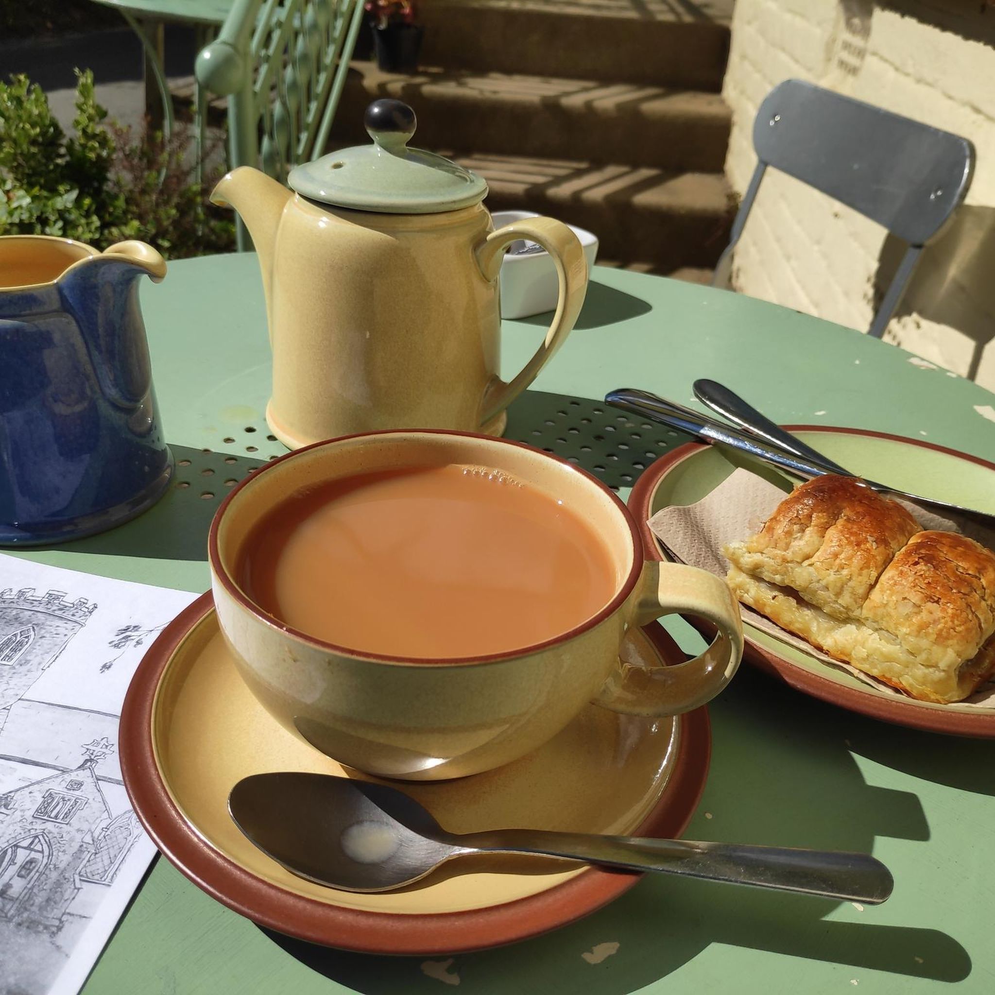
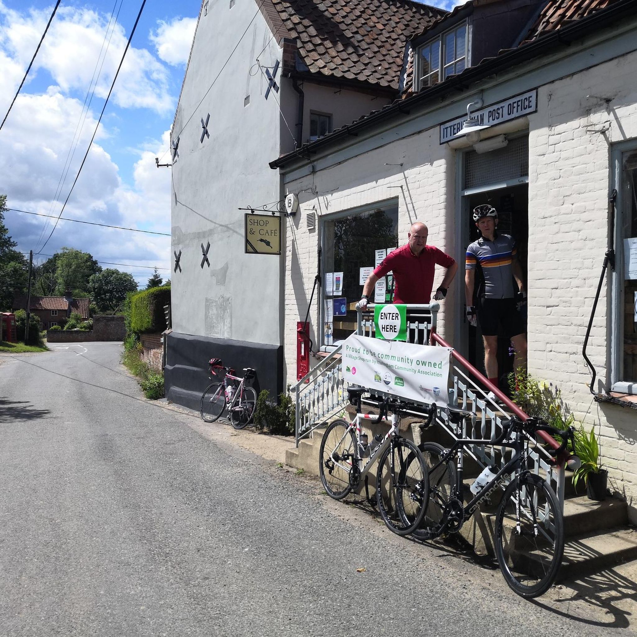
Tips from the Community

It is supposedly the most haunted of all National Trust properties. There are 3! The most famous is Anne Boleyn, who is said to haunt it annually on May 19th, the anniversary of her death. A headless coachman with 6 headless horses brings Anne – who carries her head in her hands – to her birthplace. Who wouldn't get the creeps!
1
0
Auctor preciosa facit - so it says on the pub sign. "The giver mskes the present precious" It is the family motto of the Earl of Buckinghamshire, whose name the pub bears. It is a nice place with a large beer garden, an excellent menu, and very friendly service. They also rent out some original rooms.
1
0


Take some lube,wash bottle as tiny grime in chain set. Surface smooth and could take cx , All road tyres when dry to damp
0
0

A fantastic route through the estate and woodland on gravel paths and estate roads, bikes are allowed as follows RCR33.
0
0
The old Station at Whitwell, great stop spot, cafe, and facilities.
0
0
Frequently Asked Questions
How many gravel bike trails are available around Itteringham?
There are over 10 gravel bike routes documented around Itteringham on komoot, offering a variety of experiences through Norfolk's rural landscape. These include options ranging from easy loops to more moderate long-distance rides.
Are there any easy gravel bike trails suitable for beginners or families near Itteringham?
Yes, Itteringham offers several easy gravel bike trails, perfect for beginners or family outings. One excellent option is the Blickling Estate Forest Trails – Blickling Tower loop from Blickling, which is just over 6 km long and features minimal elevation gain, making it very accessible.
What are some good options for long-distance gravel cycling routes in the Itteringham area?
For those seeking longer rides, the region utilizes former railway lines for extended routes. Consider the Coltishall Station – Bure Valley Trail — Marker 5 loop from Aylsham, which covers over 30 km and follows a historic path, providing a consistent surface for a longer journey.
Are there any circular gravel bike routes around Itteringham?
Many of the gravel bike routes in the Itteringham area are designed as circular loops, allowing you to start and finish at the same point. For example, the Blickling Estate Forest Trails – Blickling Tower loop from Blickling is a great circular option for exploring the local woodlands.
What kind of terrain can I expect on gravel bike trails near Itteringham?
The terrain around Itteringham is generally flat and rural, characterized by well-maintained gravel surfaces. You'll often find yourself on former railway lines converted into multi-use paths, through river valleys, and within managed estate woodlands. Elevation changes are minimal, making for generally smooth riding.
What are some interesting landmarks or attractions I can see along the gravel bike trails?
While cycling, you can explore several historical and natural highlights. Consider visiting Felbrigg Hall, a beautiful 17th-century country house, or the ruins of Baconsthorpe Castle. For nature lovers, the Sheringham Park Rhododendron and Azalea Gardens offer stunning seasonal displays.
Are the gravel bike trails in Itteringham dog-friendly?
Many of the gravel trails around Itteringham, especially those on public rights of way and former railway lines, are generally dog-friendly. However, it's always best to keep dogs on a lead, especially when passing through agricultural land, near livestock, or in nature reserves. Check specific route details for any restrictions.
What is the best time of year for gravel biking in Itteringham?
The best time for gravel biking in Itteringham is typically from spring through autumn (April to October). During these months, the weather is generally milder and drier, making for more comfortable riding conditions on the gravel paths. Winter can bring wetter, muddier conditions, though many well-maintained gravel paths remain rideable.
Are there any gravel bike routes near Itteringham that include pub stops?
Yes, the rural nature of Norfolk means many villages along the routes have traditional pubs. While specific routes aren't designed solely around pub stops, planning a route through villages like Aylsham or Blickling will offer opportunities to find local establishments for refreshments. You can often find these marked as highlights on komoot maps.
What do other gravel bikers enjoy most about the trails in Itteringham?
The komoot community highly rates the gravel biking experience in Itteringham, with an average score of 4.9 stars. Riders often praise the quiet, flat routes, the well-maintained surfaces of the former railway lines, and the scenic journey through Norfolk's charming countryside and estate woodlands.
Is public transport accessible for reaching gravel bike trails in Itteringham?
Public transport options in rural Norfolk can be limited. While some routes, particularly those utilizing the Marriott's Way or Bure Valley Trail, might be accessible from towns with bus or train links (like Aylsham or Coltishall), direct access to Itteringham itself by public transport for bikes may require careful planning. Checking local bus schedules is recommended.
Are there any viewpoints or scenic spots along the gravel trails in Itteringham?
While Itteringham is known for its flat landscape, the routes offer scenic views of the open Norfolk countryside, river valleys, and managed woodlands. The Blickling Estate Forest Trails, for instance, provide picturesque views within the historic estate grounds, including glimpses of Blickling Tower.
Most popular routes around Itteringham
Most popular attractions around Itteringham

Get inspired with the komoot mobile app


Explore more
Browse the best Gravel rides in other regions.
