The best gravel rides around Rælingen
4.9
(6)
305
riders
17
rides
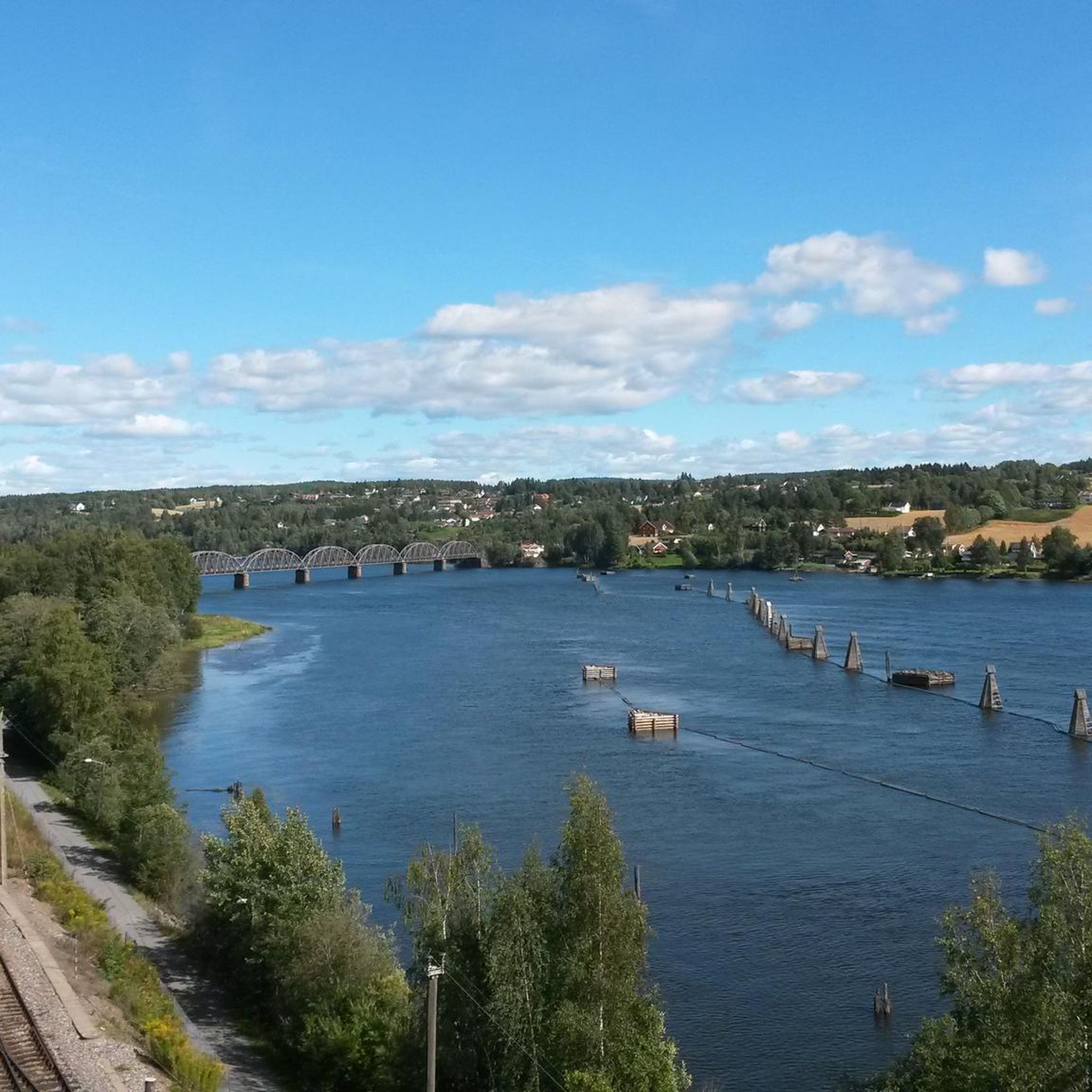
Gravel biking around Rælingen offers diverse terrain within Norway's Viken region, characterized by expansive forest areas, lakes, and rivers. The landscape includes the large Øyeren lake and the Nitelva river, providing varied scenery for routes. Elevated points such as Barlindåsen and Bjønnåsen contribute to hilly sections and offer panoramic views, making the area suitable for varied gravel cycling experiences.
Best gravel bike trails around Rælingen
- The most popular gravel bike trail is Haukåsen Radar Tower – Rustadsaga Café loop from…
Last updated: November 2, 2026
24
riders
28.2km
02:08
510m
510m
Hard gravel ride. Very good fitness required. Mostly paved surfaces.
5.0
(1)
53
riders
89.3km
05:48
1,230m
1,230m
Hard gravel ride. Very good fitness required. Mostly paved surfaces.

12
riders
43.2km
02:59
700m
700m
Hard gravel ride. Very good fitness required. Mostly paved surfaces.
12
riders
26.5km
01:41
310m
310m
Moderate gravel ride. Good fitness required. Mostly paved surfaces.
12
riders
36.1km
02:34
630m
630m
Hard gravel ride. Very good fitness required. Mostly paved surfaces.
Get access to more routes and recommendations from other explorers.
Already have an account?
Our route recommendations are based on thousands of hikes, rides, and runs completed by other people on komoot.
Start today with a free account
Your next adventure awaits.

Other adventures around Rælingen

Tips from the Community

The place is nice
0
0
The place is nice. A chalet where you can get something to eat...
0
0

Rustadsaga has welcomed walkers and skiers for over a century. Originally built in 1916 as the sawmaster's house under the name Saghøy, it has been serving visitors to Østmarka since the early 1920s and remains one of the area's most popular trail cafés.
0
0

The Haukåsen radar is an air traffic radar located on Haukåsen in Oslo, southeast of Haugerud in Groruddalen. It covers the entire Eastern Norway and is important for Oslo Airport, Gardermoen. It is unmanned but controlled from Avinor's control center in Røyken.
0
0
Frequently Asked Questions
How many gravel bike trails are available in Rælingen?
Rælingen offers a wide selection of gravel biking routes, with over 20 trails listed on komoot. These routes cater to various skill levels, ranging from moderate to difficult, ensuring there's something for every gravel biker.
What kind of terrain can I expect on gravel bike trails in Rælingen?
The terrain in Rælingen is diverse, characterized by vast forest areas, scenic lakes, and hilly sections, including parts of the Østmarka wilderness. You'll encounter a mix of surfaces, from well-maintained gravel paths to potentially unpaved or more challenging segments, offering varied scenery and engaging rides.
Are there any easy gravel bike trails suitable for beginners in Rælingen?
While many routes in Rælingen are classified as moderate to difficult, some sections or shorter loops can be suitable for beginners. For example, routes around the Old Stone Church and the Øyeren Nature Reserve can offer easier segments, often with minimal elevation gain and more paved surfaces. It's always recommended to check the route details for specific difficulty ratings.
Can I find challenging gravel routes in Rælingen?
Yes, Rælingen is well-suited for experienced gravel bikers seeking a challenge. Many routes feature significant elevation gains and cover longer distances, often taking five hours or more to complete. An example of a challenging route is the Kikutstua – Kikutstua Café loop from Sagdalen, which spans over 85 km with substantial climbing.
What natural landmarks or attractions can I see along the gravel bike trails?
Rælingen's gravel trails often lead through beautiful natural landscapes. You can encounter several lakes, such as Mønevann Lake, Rundvann Lake, and Elvåga Lake. Some routes might also pass by a waterfall in Østmarka or offer views from a Birdwatching Tower at Nordre Øyeren Nature Reserve.
Where can I park when going gravel biking in Rælingen?
Rælingen kommune provides several established parking facilities that serve as convenient starting points for exploring the forests and trails. You can find parking at locations such as Sandbekken, Marikollen, Tristilvegen, Myrdammen, and Nordby.
Is it possible to reach gravel bike trails in Rælingen using public transport?
While specific public transport connections to every trailhead might vary, Rælingen is generally accessible. Many trails are located within reasonable proximity to residential areas and public transport hubs, making it possible to combine cycling with public transport. It's advisable to check local bus or train schedules for the most direct access to your chosen starting point.
Are there any circular gravel bike routes in Rælingen?
Yes, many of the gravel biking routes in Rælingen are designed as loops, allowing you to start and end at the same point. Examples include the Haukåsen Radar Tower – Rustadsaga Café loop from Hanaborg and the Mariholtet Lake View – Hammer Bridge loop from Høybråten, offering convenient circular journeys.
What is the best time of year for gravel biking in Rælingen?
The best time for gravel biking in Rælingen is typically from spring through autumn when the weather is milder and the trails are clear of snow and ice. Summer offers long daylight hours, while spring and autumn provide beautiful scenery with changing foliage. Always check local weather conditions before heading out, especially for potential rain or early/late season snow.
Are there cafes or places to stop for refreshments along the routes?
Yes, Rælingen and its surrounding areas offer cozy cafes where you can relax and refuel. Mariholtet Café and Losby Gårdskafé are popular spots, often located along or near family-friendly trails, providing a welcome break during your ride.
What do other gravel bikers say about the trails in Rælingen?
The gravel biking routes in Rælingen are highly rated by the komoot community, with an average score of 5.0 stars from 3 reviews. Over 200 gravel bikers have used komoot to explore the varied terrain, often praising the diverse landscapes, from expansive forests to scenic lake views, and the engaging mix of moderate to challenging paths.
Are there any routes that offer panoramic views?
Yes, Rælingen features elevated points like Barlindåsen and Bjønnåsen, which is the second-highest point in Østmarka. These hills provide challenging climbs and reward cyclists with panoramic forest views, extending to Gaustatoppen on clear days. Routes like the Mariholtet Lake View – Haukåsen Radar Tower loop from Hanaborg offer excellent opportunities for scenic vistas.
Most popular attractions around Rælingen

Get inspired with the komoot mobile app


Explore more
Browse the best Gravel rides in other regions.
