The best gravel rides around Signa
4.3
(172)
1,225
riders
85
rides
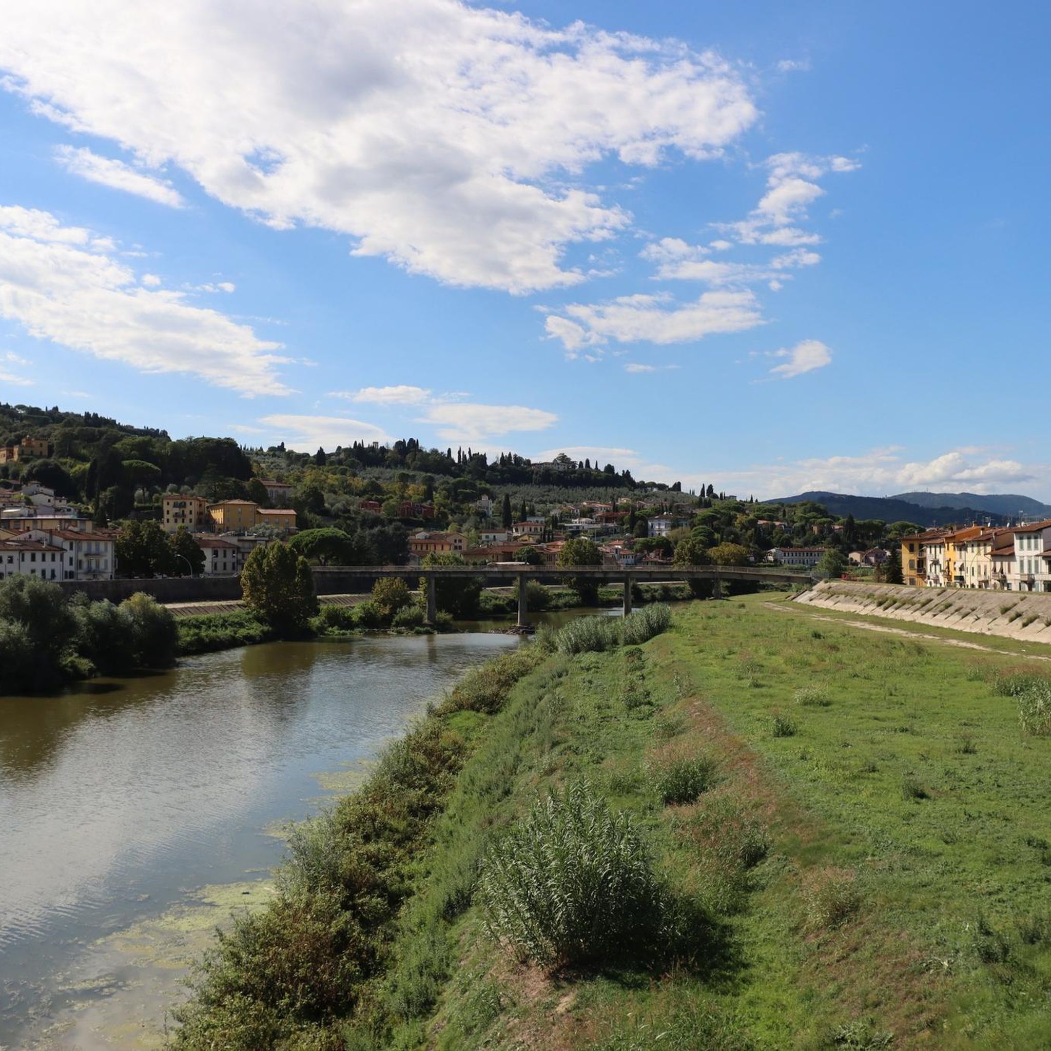
Gravel biking around Signa offers routes primarily along river valleys and through the surrounding Tuscan countryside. The region is characterized by the Arno and Pesa rivers, providing relatively flat cycle paths, interspersed with rolling hills and agricultural landscapes. These features create varied terrain suitable for different gravel biking experiences.
Best gravel bike trails around Signa
- The most popular gravel bike trail is Arno River Cycle Path – Arno River loop from Signa, a 40.0 miles (64.4 km) trail that…
Last updated: November 8, 2026
3.8
(18)
121
riders
Easy gravel ride. Mostly paved surfaces.
4.4
(5)
50
riders
62.3km
03:40
530m
530m
Hard gravel ride. Very good fitness required. Mostly paved surfaces.

4.5
(8)
46
riders
45.9km
02:54
520m
520m
Hard gravel ride. Very good fitness required. Mostly paved surfaces.
5.0
(2)
31
riders
84.2km
05:47
880m
880m
Hard gravel ride. Very good fitness required. Mostly paved surfaces.
4.0
(3)
30
riders
Hard gravel ride. Very good fitness required. Mostly paved surfaces.
Get access to more routes and recommendations from other explorers.
Already have an account?
Our route recommendations are based on thousands of hikes, rides, and runs completed by other people on komoot.
Start today with a free account
Your next adventure awaits.
Tips from the Community

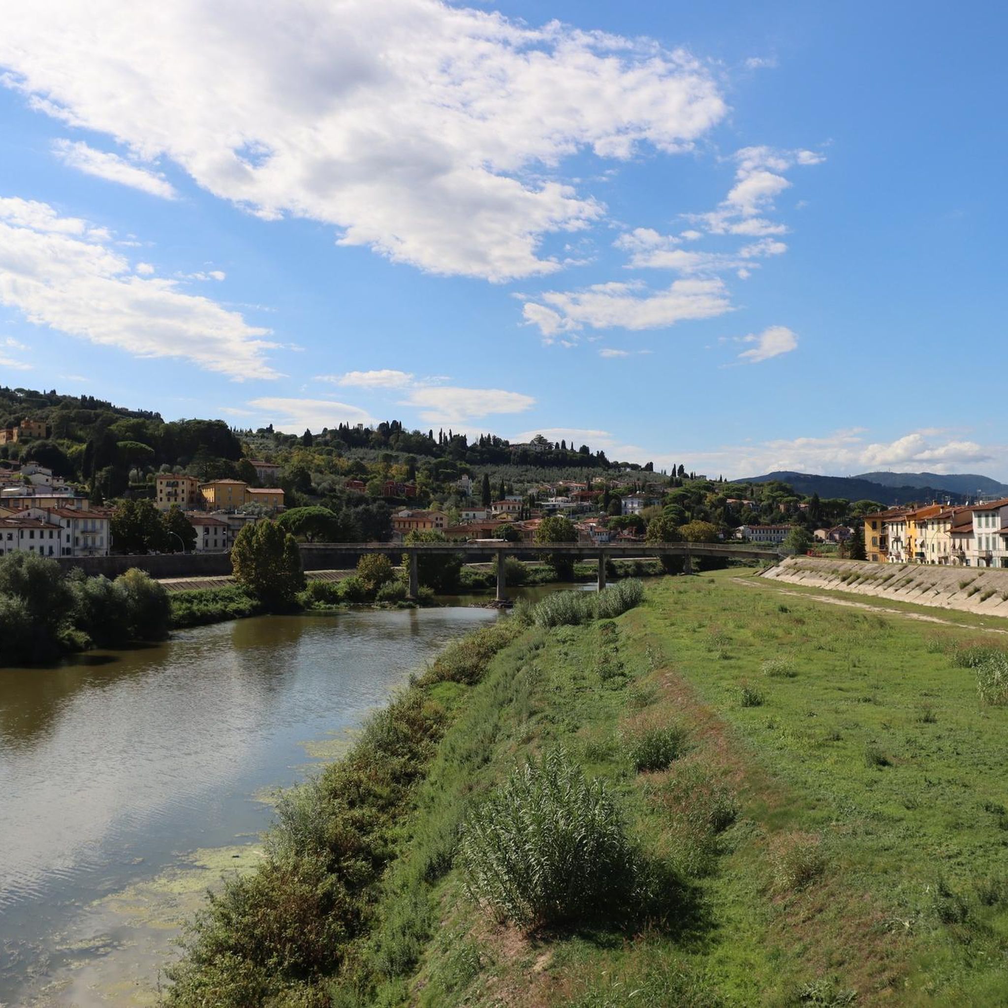
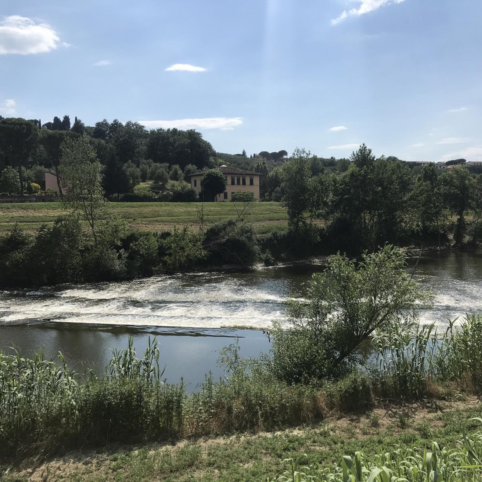
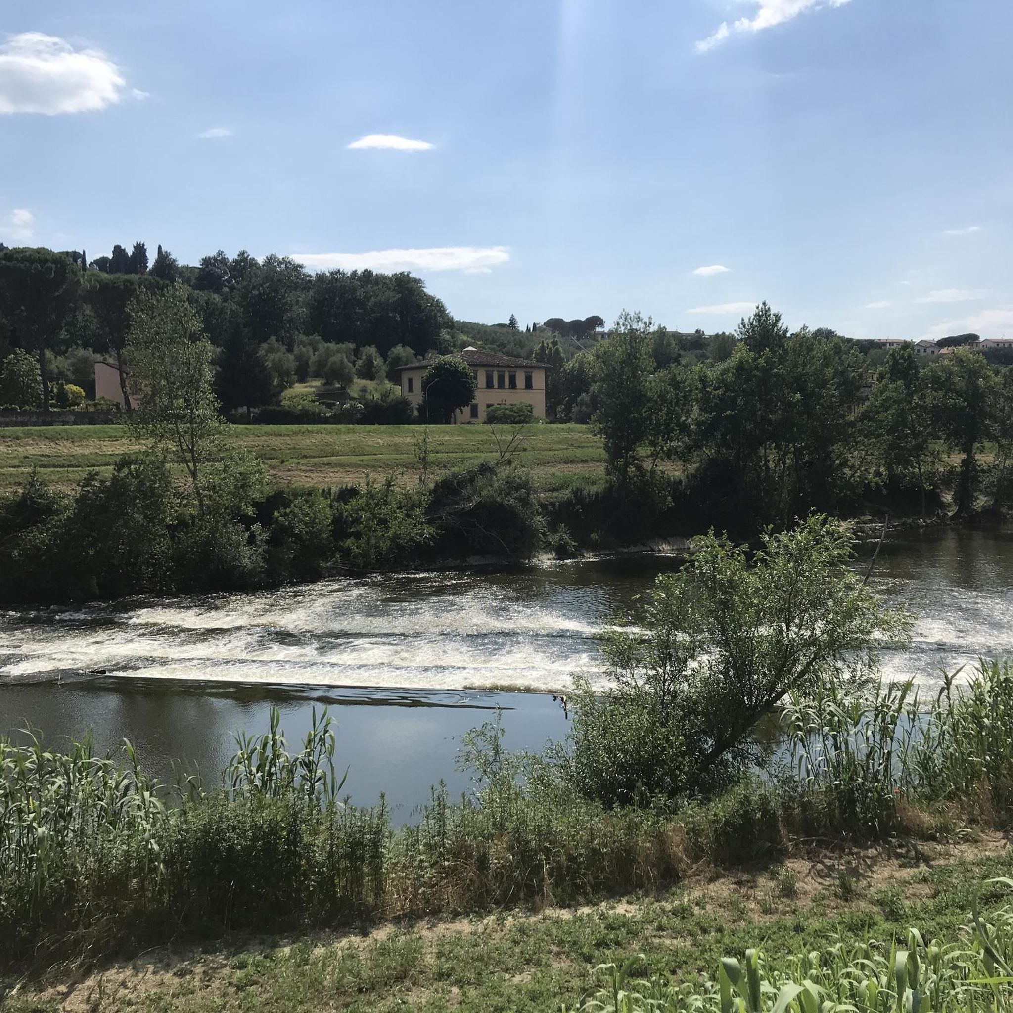
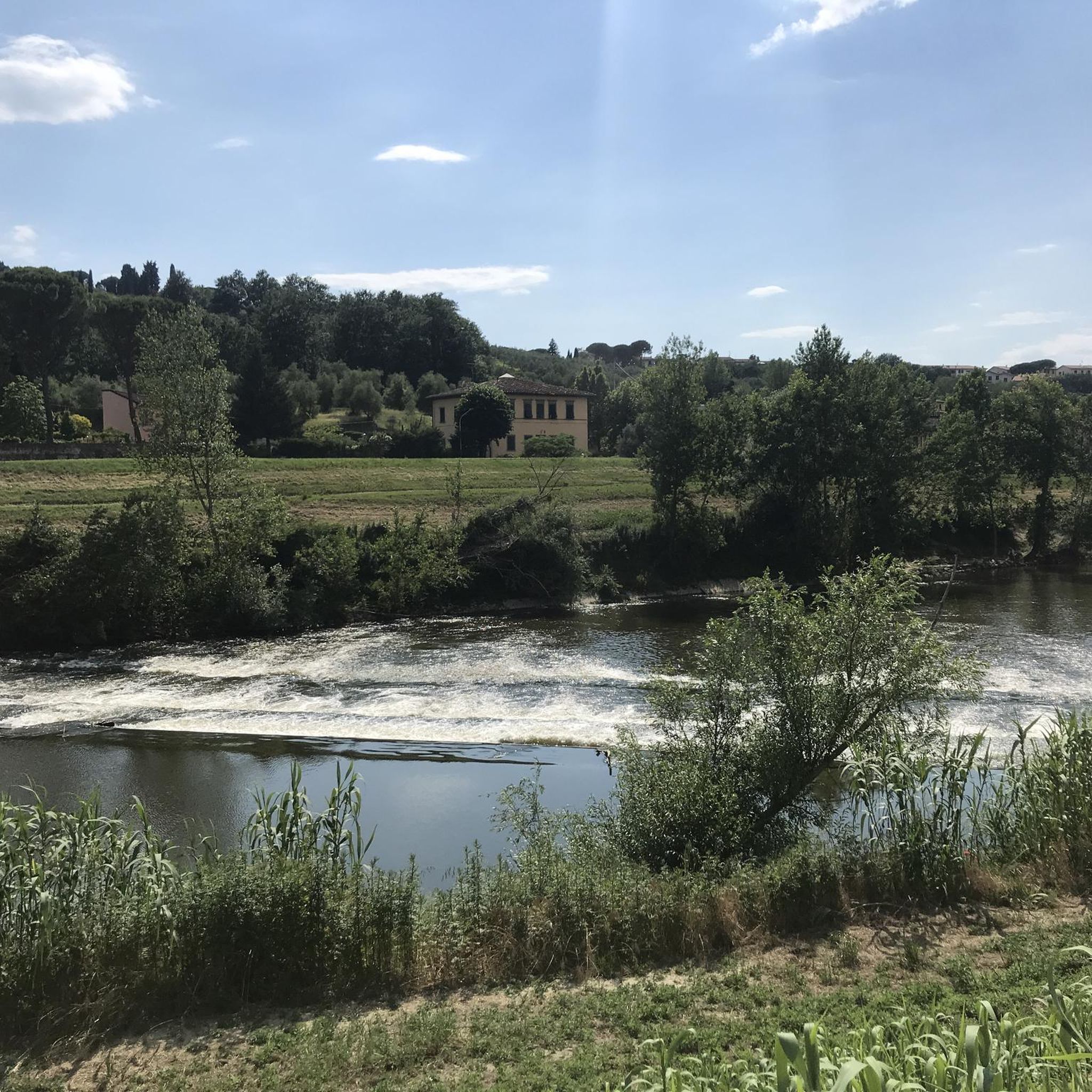
The Arno River is the main waterway of Tuscany and the second most important in peninsular Italy after the Tiber. With a total length of 241 km and a drainage basin of approximately 8,247 km², it crosses the region from east to west, profoundly shaping the history, economy, and culture of the cities it flows through.
0
0

Last stretch before Poggio alla Malva is impassable! High vegetation, invades the track, I came out with several scratches on arms and legs. I do not recommend it!
0
0
The Ciclovia Cascine-Renai is a flat cycle-pedestrian path of about 11 kilometers (one way) that connects the center of Florence with Signa. The itinerary represents one of the busiest and most appreciated sections of the wider Ciclovia dell'Arno, developing entirely along the right bank of the river in total absence of motorized traffic.
1
0
The Ciclovia dell'Arno is a great cycle and pedestrian path of about 270 kilometers that entirely follows the course of the Arno river. The route develops from the source at Capo d'Arno (on Monte Falterona, in Casentino) to the mouth at Marina di Pisa (Bocca d'Arno), crossing 57 Tuscan municipalities and touching important art cities such as Florence and Pisa.
0
0

Beautiful flowing gravel road exiting Florence
1
0

The bridge is part of a hidden tunnel approximately 1 km long. It allowed members of the Medici family to move freely and safely between their palaces without having to go out into the streets and mingle with crowds. This section of the passage on the Ponte Vecchio is unique in that it runs above the goldsmiths' shops and, at one point, wraps around the Manelli Tower. Its windows offer views of the Arno River. Currently, the Vasari Corridor is open to the public, but reservations are required. It houses part of the Uffizi Gallery's collection of self-portraits.
2
0
View of the Goldsmiths' Bridge. I recommend it, a must-see.
2
0

Frequently Asked Questions
How many gravel bike trails are available around Signa?
Signa offers a wide selection of gravel bike trails, with over 120 routes documented on komoot. These range from easy riverside paths to more challenging routes through the Tuscan hills.
Are there any easy gravel bike trails suitable for beginners in Signa?
Yes, while many routes are rated difficult, there are 8 easy gravel bike trails around Signa. These typically follow the flatter river valleys, offering a gentle introduction to gravel biking in the region.
What kind of terrain can I expect on gravel bike trails in Signa?
The terrain around Signa is diverse, featuring primarily river valleys along the Arno and Pesa rivers, interspersed with rolling hills and agricultural landscapes. You'll encounter a mix of paved sections, gravel paths, and some unpaved tracks.
Are there any family-friendly gravel biking options in Signa?
For families, the flatter sections along the Arno and Pesa rivers are generally most suitable. Look for routes with lower elevation gain and shorter distances, which are often found among the easy-rated trails.
What are some scenic gravel bike routes in Signa?
Many routes offer scenic views, particularly those following the Arno and Pesa rivers. For example, the Arno River Cycle Path – Arno River loop from Signa provides continuous riverside vistas. Routes that ascend into the hills also offer panoramic views of the Tuscan countryside.
Can I find loop gravel trails around Signa?
Yes, many gravel bike routes in Signa are designed as loops, allowing you to start and finish at the same point. Examples include the Badia a Passignano Abbey – Pesa River Cycle Path loop from San Donnino and the Ginestra-Montelupo Cycleway – Arno River Cycle Path loop from Lastra a Signa.
What are some interesting places to explore along the gravel bike trails in Signa?
Along the trails, you can explore various natural and historical sites. Highlights include the Arnovecchio Nature Reserve and Parco dei Renai Entrance near the rivers. Further afield, you might encounter historic structures like the Malmantile Fortified Castle or the San Quirico Tower.
Are there any routes that pass by lakes or natural reserves?
Yes, several routes pass by natural attractions. The Parco dei Renai Entrance – Upper Via Turbone Trail loop from Le Piagge, for instance, takes you through parkland. You can also find routes near Chiesanova Lake and Lake Querciola.
What is the best season for gravel biking in Signa?
The best seasons for gravel biking in Signa are typically spring and autumn, when the weather is mild and the landscapes are vibrant. Summer can be quite hot, especially in the river valleys, while winter can bring cooler temperatures and occasional rain.
What do other gravel bikers enjoy most about gravel biking in Signa?
The area is highly rated by the komoot community, with an average score of 4.3 stars. Reviewers often praise the varied terrain, the scenic river paths, and the opportunity to explore both natural landscapes and historic sites.
Are there advanced gravel biking routes in Signa?
Yes, Signa is particularly well-suited for advanced gravel bikers, with 84 routes rated as difficult. These trails often feature significant elevation gains and longer distances, such as the Parco dei Renai Entrance – Upper Via Turbone Trail loop from Le Piagge, which includes substantial climbing.
How does gravel biking in Signa compare to Florence?
While Florence offers urban cycling, Signa provides a more direct gateway to the Tuscan countryside and its gravel biking opportunities. Signa's routes quickly transition from river paths to rolling hills, offering a more immersive natural and agricultural landscape experience compared to the more city-centric options around Florence.
Most popular attractions around Signa

Get inspired with the komoot mobile app


Explore more
Browse the best Gravel rides in other regions.
