The best gravel rides around Limbiate
4.3
(467)
3,021
riders
96
rides
Gravel biking around Limbiate offers routes primarily characterized by flat to gently rolling terrain. The region features a network of paths along waterways such as the Lura River and the Villoresi Canal. These trails often traverse parklands, providing varied surfaces suitable for gravel bikes. The landscape is generally low-lying, with minimal elevation changes.
Best gravel bike trails around Limbiate
- The most popular gravel bike trail is Lura River in the Parco del Lura – Cycling and pedestrian bridge over the…
Last updated: November 8, 2026
4.6
(33)
203
riders
Hard gravel ride. Very good fitness required. Mostly paved surfaces.
4.5
(14)
71
riders
Moderate gravel ride. Good fitness required. Mostly paved surfaces.

4.5
(27)
72
riders
Moderate gravel ride. Good fitness required. Mostly paved surfaces.
4.6
(5)
36
riders
Moderate gravel ride. Good fitness required. Mostly paved surfaces.
3.6
(5)
51
riders
Moderate gravel ride. Good fitness required. Mostly paved surfaces.
Get access to more routes and recommendations from other explorers.
Already have an account?
Our route recommendations are based on thousands of hikes, rides, and runs completed by other people on komoot.
Start today with a free account
Your next adventure awaits.
Tips from the Community

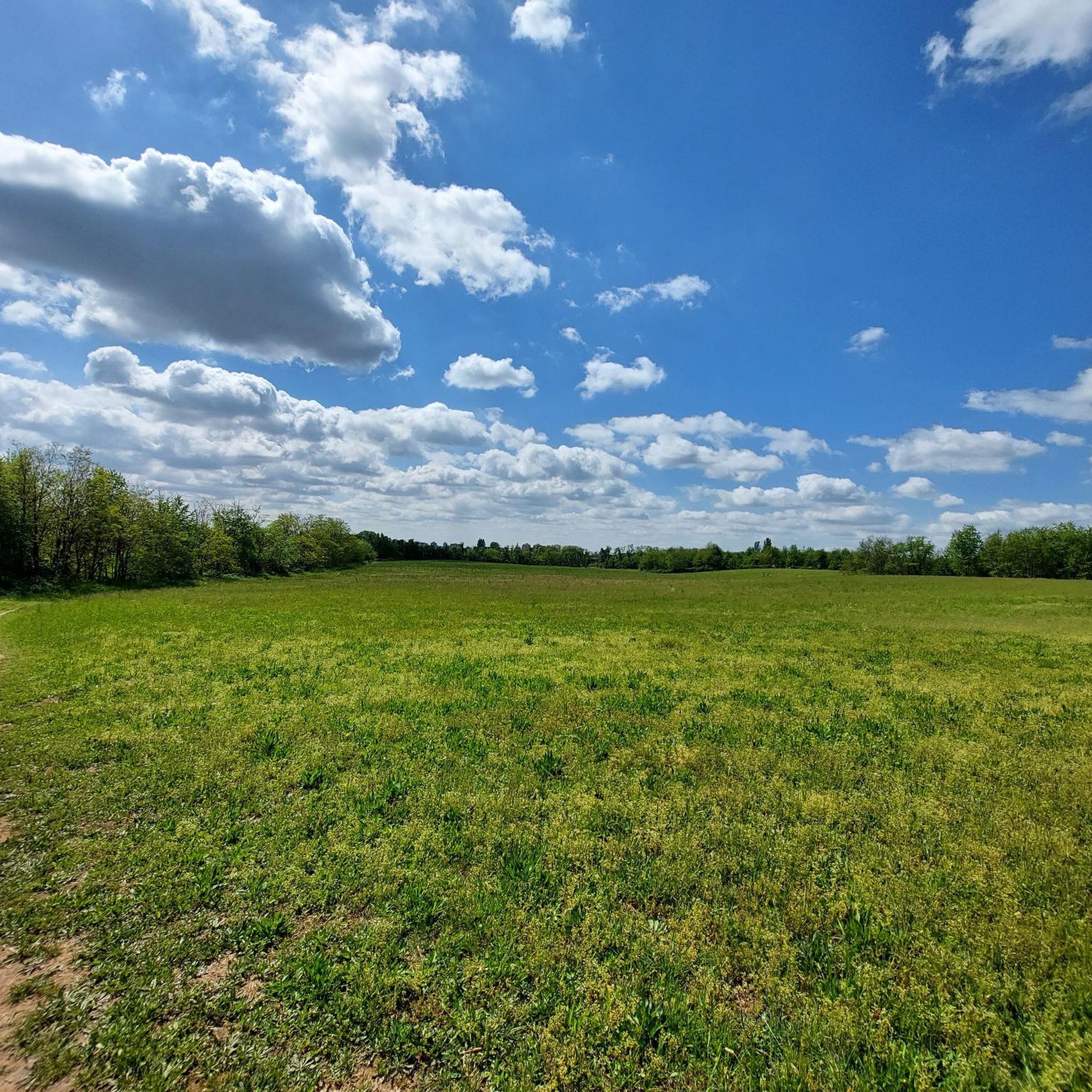
The Parco delle Groane e della Brughiera Briantea is an immense protected natural area in Lombardy that extends for about 8,249 hectares in the upper Lombardy plain, touching 28 or 29 municipalities distributed among the provinces of Milan, Como, and Monza and Brianza. [1, 2, 3, 4] Originally established in 1976, the park has doubled its surface area in recent years thanks to the incorporation of the PLIS della Brughiera Briantea and the Fontana del Guercio Nature Reserve. The term "groane" derives from the local historical name for heathlands, which here represent one of the southernmost heathlands in Europe.
0
0

The Parco delle Groane and Brughiera Briantea cycle path offers a protected route of about 35-50 kilometers immersed in nature between the provinces of Milan and Monza e Brianza
0
0
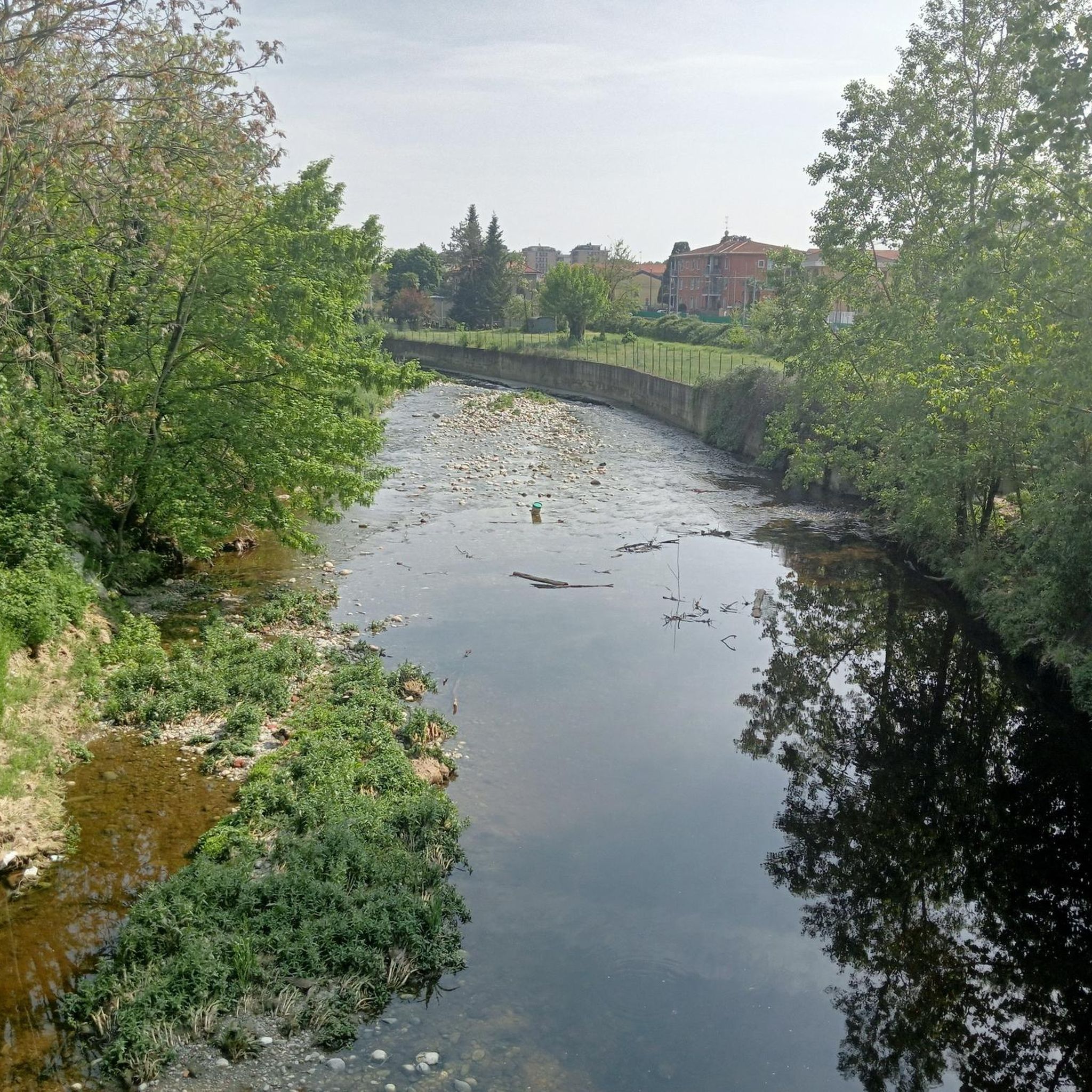
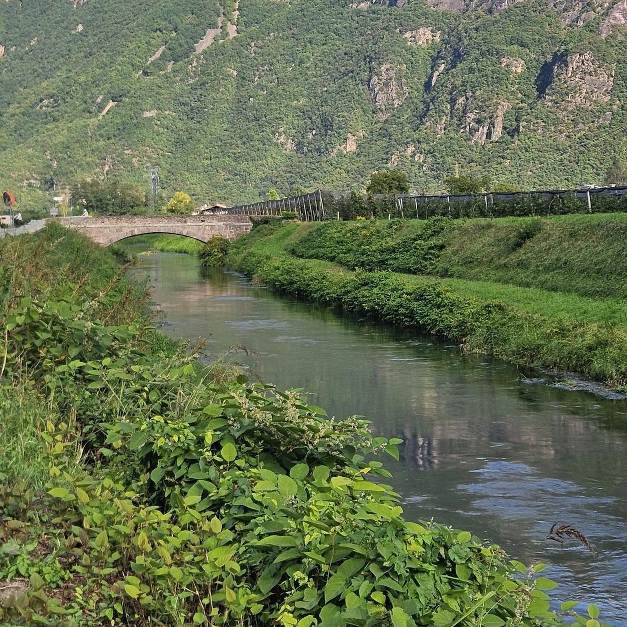
The Lura is a stream in Lombardy that originates near the Italian-Swiss border, in the municipality of Uggiate con Ronago, at an altitude of about 400 m. The Lura has a total length of 46.2 km and a drainage basin of 120 km², and is today the largest tributary of the Olona river.
0
0
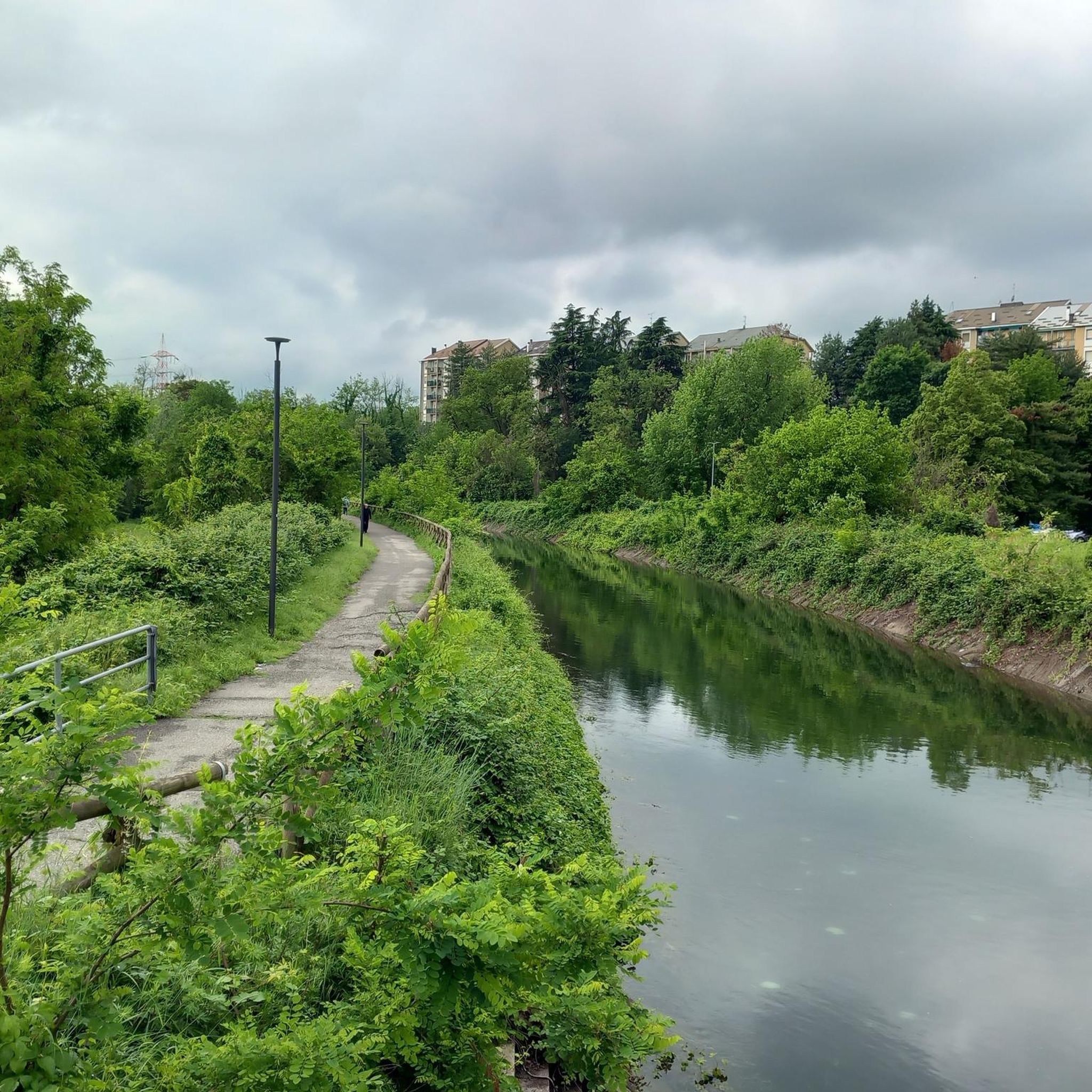
The Villoresi Canal towpath connects Arese and the nearby municipalities via cycle paths and service roads, offering a convenient cycle-pedestrian route along the artificial canal that connects the Ticino and Adda rivers.
0
0
The Strada Alzaia Canale Villoresi is a service road of about 85-90 km that runs along the canal from Somma Lombardo (VA) to Cassano d'Adda (MI), managed by the Consorzio Est Ticino Villoresi. Although widely used by cyclists and walkers, it is not a proper cycle path but a road for mixed use and maintenance.
0
0
The Strada Alzaia Canale Villoresi is a service road of about 85-90 km that runs along the canal from Somma Lombardo (VA) to Cassano d'Adda (MI), managed by the Consorzio Est Ticino Villoresi. Although it is widely used by cyclists and walkers, it is not a real cycle path but a road for mixed use and maintenance.
0
0
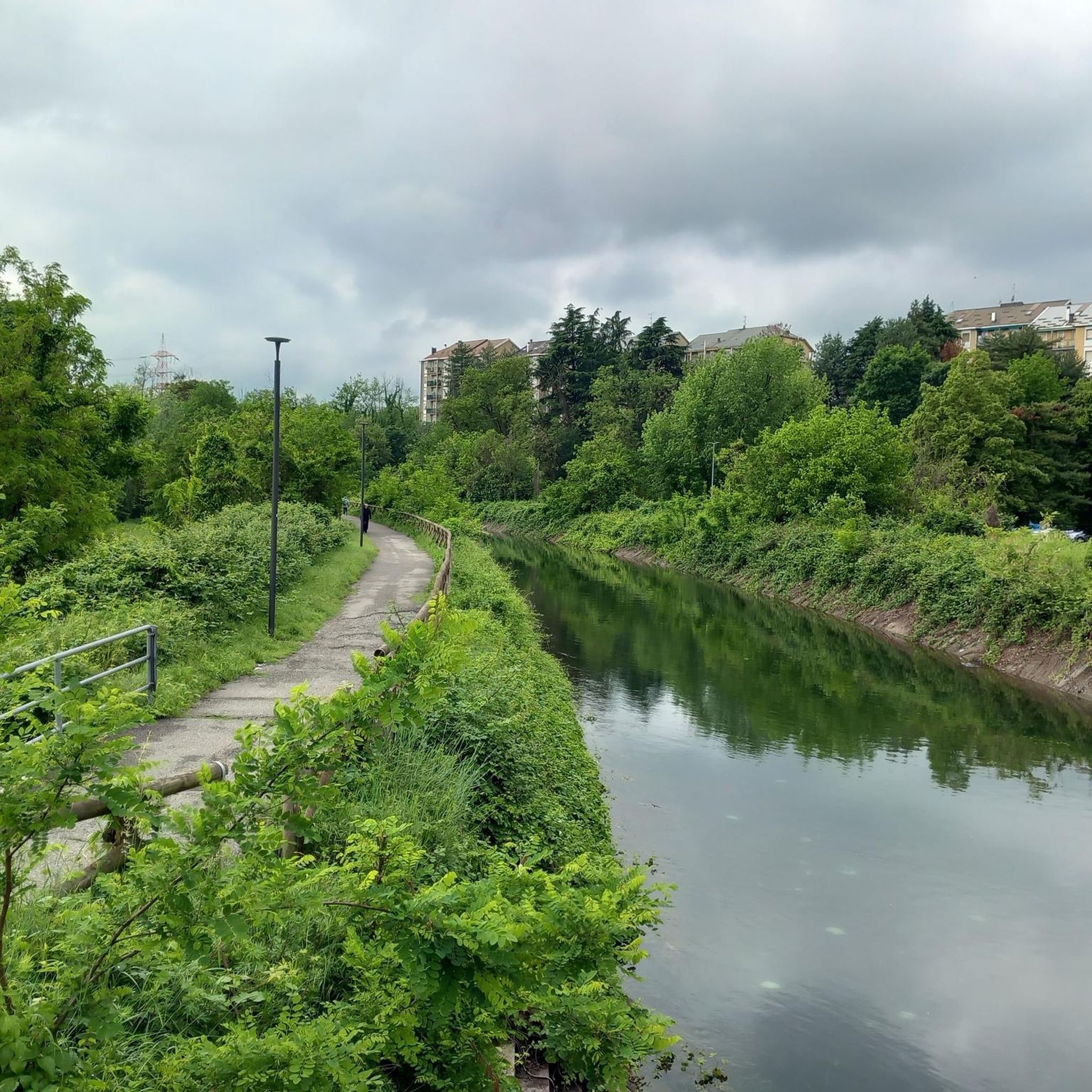
The Strada Alzaia Canale Villoresi in the territory of Arconate is one of the most appreciated and frequented sections of the homonymous cycle path in western Lombardy. This specific segment offers an ideal escape into nature for cyclists, runners, and families.
0
0

bridge over the Lura in the homonymous park
0
0
Frequently Asked Questions
How many gravel bike trails are available around Limbiate?
There are over 120 gravel bike trails around Limbiate, offering a wide range of options for different skill levels. You'll find routes primarily characterized by flat to gently rolling terrain, often along waterways and through parklands.
Are there easy gravel bike routes suitable for beginners in Limbiate?
Yes, Limbiate offers a good selection of easy gravel bike routes. Approximately 32 of the available trails are classified as easy, making them perfect for beginners or those looking for a relaxed ride. An example is the Villoresi Canal Cycle Path – Villoresi Canal Cycle Path loop from Ceriano Laghetto-Solaro, which is an easy 27.4 km loop.
What kind of terrain can I expect on gravel bike trails in Limbiate?
The gravel bike trails around Limbiate are generally low-lying, with minimal elevation changes. You can expect varied surfaces along river paths, canal routes, and park trails, such as those found along the Lura River and the Villoresi Canal. The region is known for its flat to gently rolling terrain.
Are there any family-friendly gravel biking options in Limbiate?
Many of the easy and moderate routes in Limbiate are suitable for families, especially those that follow the flat paths along the canals and through parks. The gentle terrain and lack of significant climbs make these trails enjoyable for riders of all ages. Consider routes like the Villoresi Canal Cycle Path – Villoresi Canal Cycle Path loop from Ceriano Laghetto-Solaro for a pleasant family outing.
What are some notable natural attractions or landmarks along the gravel bike routes?
Many routes traverse scenic areas. You can explore highlights such as the Lura Park, Parco Nord Milano, and the Villoresi Canal Cycle Path itself. The Groane Park Bike Path – Castello di Carimate loop from Garbagnate Parco delle Groane also passes by historic sites within Groane Park.
Are there any longer gravel bike routes for more experienced riders?
Yes, for those seeking a longer challenge, Limbiate offers several moderate routes. The Naviglio Grande – Villoresi Canal loop from Garbagnate Parco delle Groane is a substantial 72 km route that combines canal paths, offering a more extended ride without significant elevation.
What do other gravel bikers say about the trails in Limbiate?
The gravel biking routes in Limbiate are highly rated by the komoot community, with an average score of 4.4 stars from over 350 reviews. Riders often praise the well-maintained paths along rivers and canals, the peaceful parkland settings, and the variety of options for different skill levels.
Are the gravel bike trails around Limbiate typically circular routes?
Many of the gravel bike trails around Limbiate are designed as loops, offering convenient circular routes that bring you back to your starting point. Examples include the Lura River in the Parco del Lura – Cycling and pedestrian bridge over the Lura loop from Ceriano Laghetto-Solaro and the Villoresi Canal Cycle Path – Heathland Trail loop from Garbagnate Milanese.
What is the typical duration for gravel cycling routes near Limbiate?
Route durations vary depending on the distance and your pace. For example, the Lura River in the Parco del Lura loop (33.6 km) typically takes around 2 hours 21 minutes, while the Villoresi Canal Cycle Path loop (35.5 km) can be completed in about 2 hours 2 minutes. Longer routes, like the 72 km Naviglio Grande – Villoresi Canal loop, will take considerably longer.
Can I access gravel bike trails in Limbiate using public transport?
While specific public transport connections to trailheads are not detailed for every route, Limbiate and surrounding towns like Garbagnate Milanese and Ceriano Laghetto-Solaro are generally well-connected by regional train lines and buses. It's advisable to check local transport schedules and bike carriage policies for the most convenient access to your chosen starting point.
Are there any challenging gravel bike trails for advanced riders?
While the region is primarily known for its flat to gently rolling terrain, there are 26 routes classified as difficult for those seeking more of a challenge. These routes might feature longer distances or more varied surfaces, though significant elevation changes are rare. The Groane Park Bike Path – Castello di Carimate loop, at 58.6 km, offers a longer, moderate ride that can be extended for a more advanced experience.
Most popular attractions around Limbiate

Get inspired with the komoot mobile app


Explore more
Browse the best Gravel rides in other regions.
