The best gravel rides around Genga
4.2
(25)
188
riders
21
rides
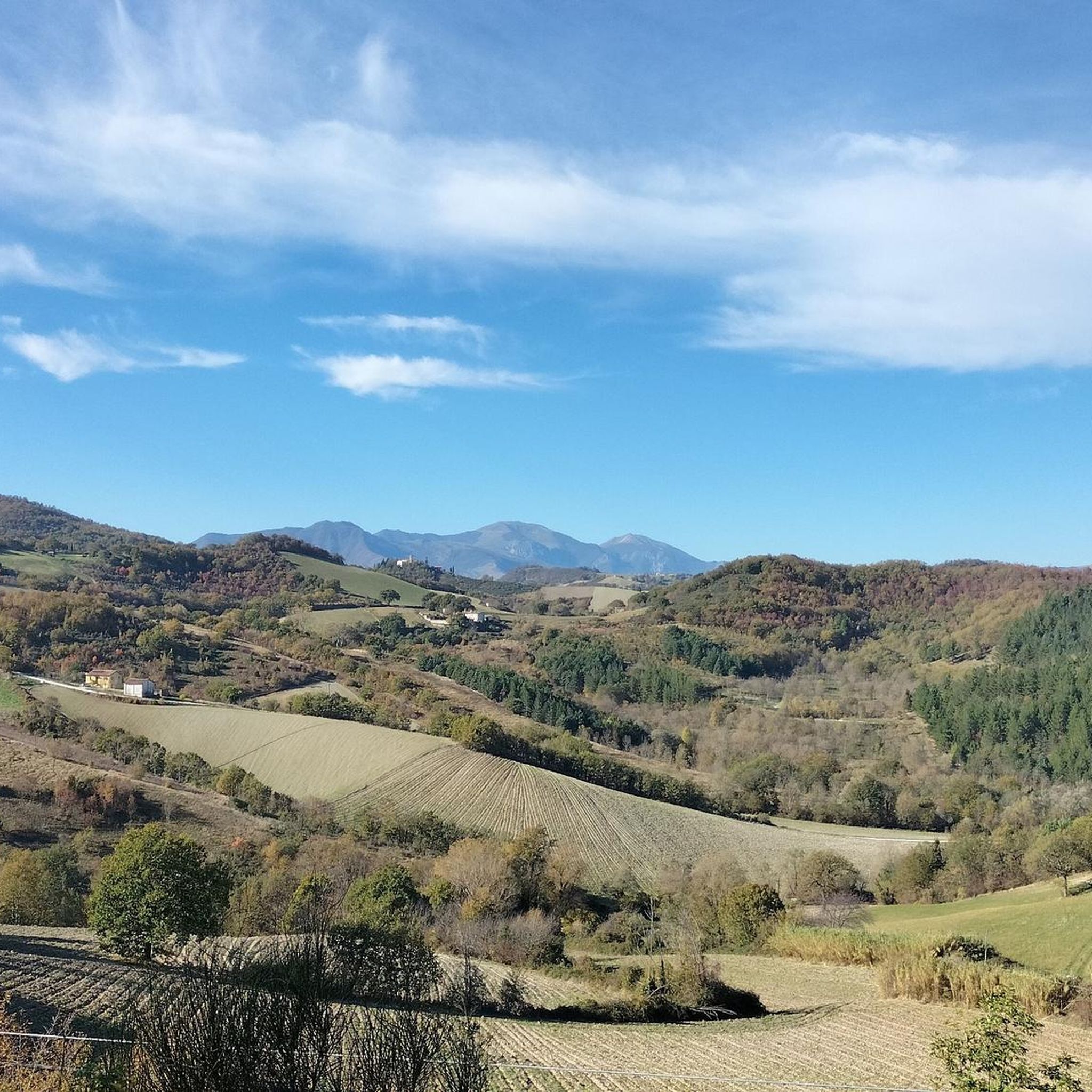
Gravel biking around Genga offers routes through the unique karst geology of Italy's Marche region, nestled near the Apennine mountains. The terrain is characterized by rolling hills, deep hollows, and dense woodlands, shaped by the Sentino and Esino rivers. This area, part of the Gola della Rossa e di Frasassi Regional Park, features dramatic gorges and distinctive rock formations. The varied landscape provides diverse conditions for gravel cyclists.
Best gravel bike trails around Genga
- The most popular gravel bike trail…
Last updated: November 2, 2026
4.7
(7)
64
riders
87.6km
05:51
1,740m
1,740m
Hard gravel ride. Very good fitness required. Mostly paved surfaces.
4.3
(8)
55
riders
43.6km
02:30
150m
150m
Moderate gravel ride. Good fitness required. Mostly paved surfaces.

4.0
(1)
17
riders
109km
06:08
610m
610m
Hard gravel ride. Very good fitness required. Mostly paved surfaces.
5.0
(2)
13
riders
Hard gravel ride. Very good fitness required. Mostly paved surfaces.
3.0
(1)
7
riders
34.7km
02:36
1,000m
1,000m
Hard gravel ride. Very good fitness required. Mostly paved surfaces.
Get access to more routes and recommendations from other explorers.
Already have an account?
Our route recommendations are based on thousands of hikes, rides, and runs completed by other people on komoot.
Start today with a free account
Your next adventure awaits.
Tips from the Community

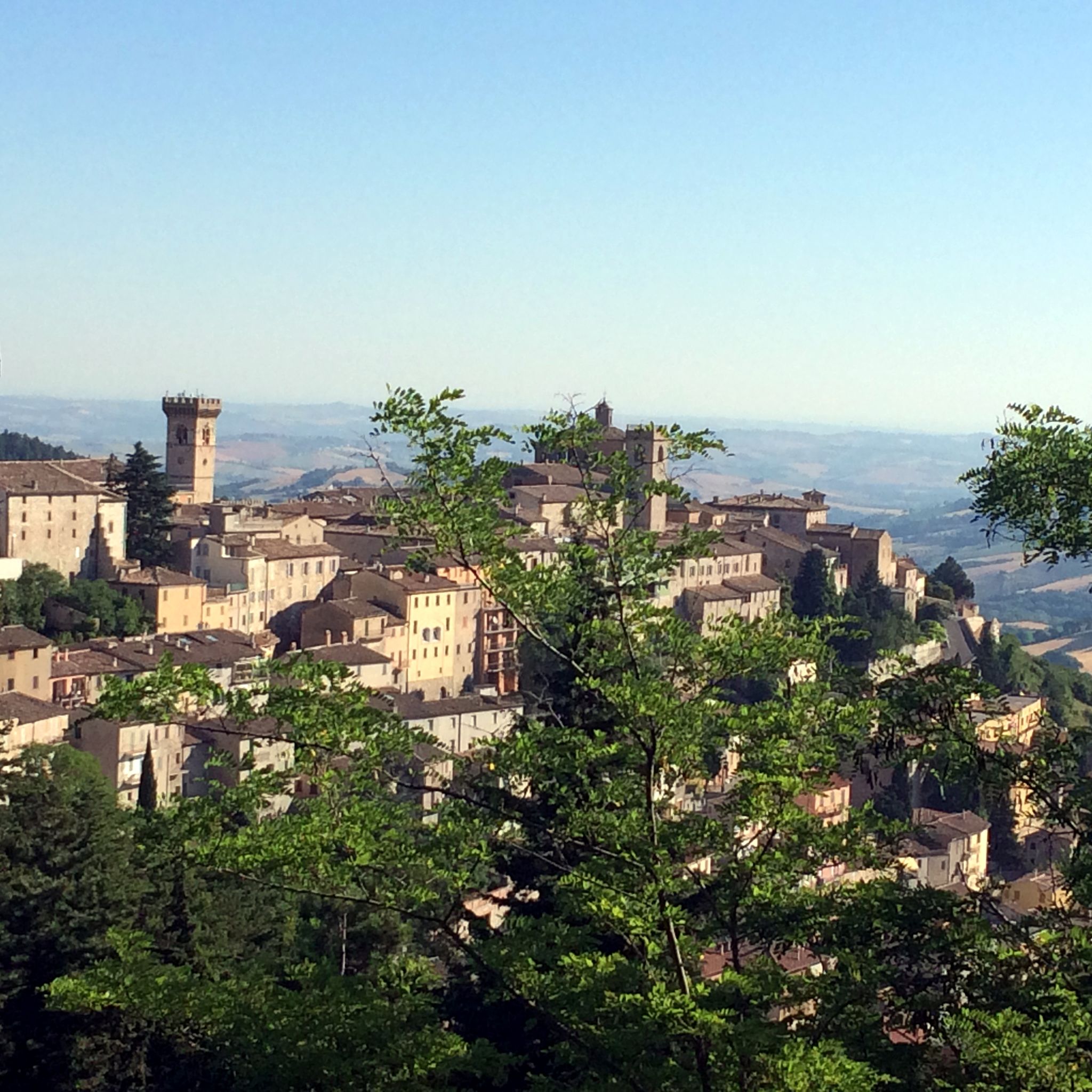
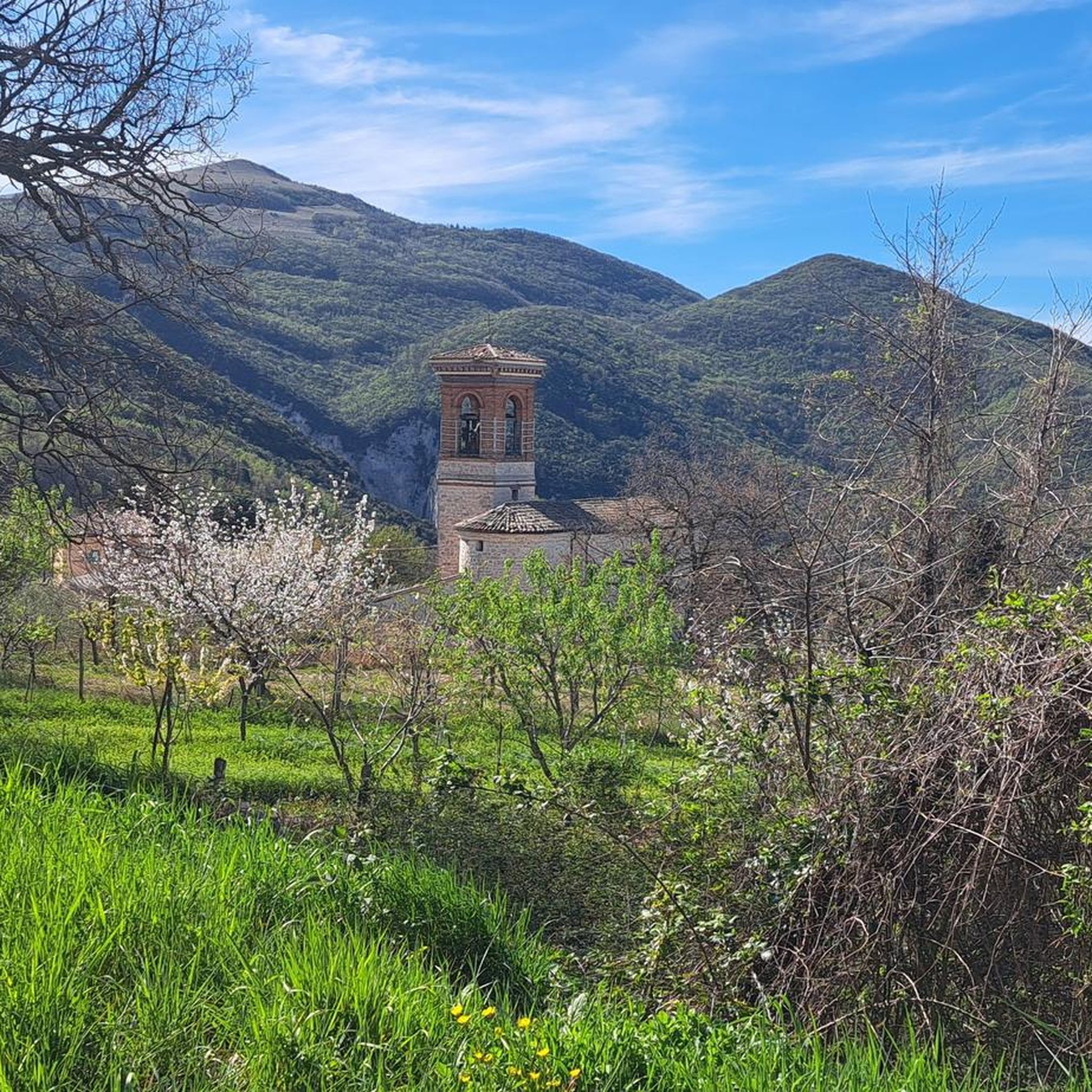
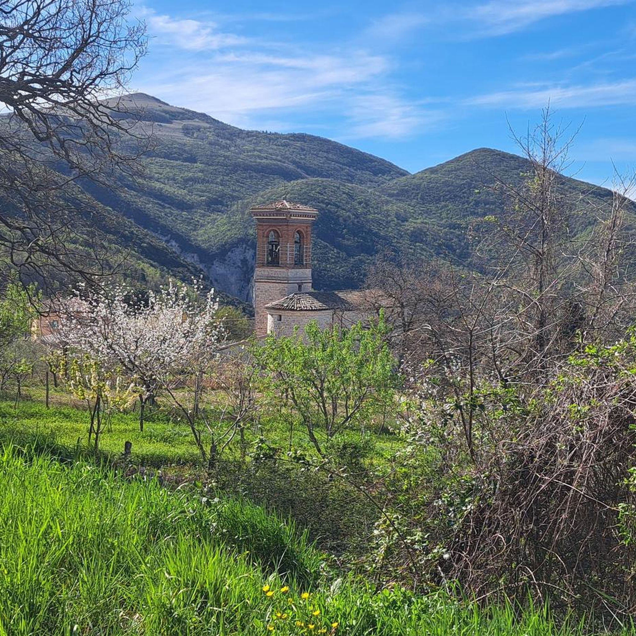
The tiny, medieval village of Castelletta (a district of Fabriano) is a real hidden gem in the Marche region. It sits like an eagle's nest on a rocky outcrop in the middle of the wild and romantic Gola della Rossa e Frasassi Nature Park. Although the village is tiny, it offers a fascinating mix of history, spectacular views, and exciting outdoor activities: Historic village center & architecture - a small map hangs directly opposite the small Bar Elisa, where you can also stock up on the essentials, Castelletta impresses with its narrow, quaint stone alleys (called Rue) and rows of houses built from local limestone. A walk feels like a little journey back in time; Il Rivellino (the defense tower) is a well-preserved, circular watchtower from the late Middle Ages. It once belonged to the defense system of the Counts of Rovellone. The old city gate: The square southeast gate with its round arch still shows historical defensive features such as loopholes today. and of course: the outdoor & nature highlights! Monte Revellone (841 m) is the local mountain and towers over the village, visible from afar (a small picture at Bar Elisa testifies to this). From the village center, a hiking trail leads up to the summit cross, which offers spectacular panoramic views over the valley and the Apennine chain. The Falesia di Castelletta is a real climbing paradise with steep limestone walls right by the village and is one of the most famous climbing crags (falesia) in the region, attracting sport climbers from all over Italy... Worth discovering...
0
0

Built in the year 1285. The name Sturinalto is derived from the Italian “spinge l’acqua in alto”, which means “the one that pushes water up” – a reference to the then impressively high fountain in the center
2
0


Easy to use with any bike, very popular on Saturdays and Sundays.
2
0

Beautiful cycling routes 👍🏻 😉
1
0

Pleasant stretch along the coast
1
0

End of the climb named after Michele Scarponi
0
0

Frequently Asked Questions
How many gravel bike trails are available in Genga?
There are over 15 gravel bike trails around Genga, offering a variety of experiences for different skill levels. These routes traverse the region's unique karst landscapes, river-carved gorges, and dense woodlands.
What kind of terrain can I expect on gravel bike trails in Genga?
Genga's gravel bike trails feature diverse terrain, including rolling hills, deep hollows, and dense woodlands. The region's unique karst geology, shaped by the Sentino and Esino rivers, means you'll encounter dramatic gorges and distinctive rock formations, providing both scenic beauty and varied riding conditions.
Are there any family-friendly gravel bike routes in Genga?
While many routes in Genga are challenging, there are options suitable for families. The Mergo River – Jesi–Pantiere Cycle Path loop from Serra San Quirico is a moderate 43.5 km trail that follows the Mergo River and includes sections of a cycle path, making it a good choice for those seeking a less strenuous ride.
What are some notable natural attractions or viewpoints along the gravel bike routes?
Genga is rich in natural beauty. You can explore the dramatic Sentino Gorge and Valle Scappuccia, as seen on the Sentino Gorge – Valle Scappuccia Cave loop from Genga - San Vittore Terme. The region is also known for its karst landscapes and the famous Frasassi Caves. For specific viewpoints, the Castelletta Village – View of Poggio San Romualdo loop from Serra San Quirico offers panoramic vistas of Poggio San Romualdo.
Are there any circular gravel bike routes in the Genga area?
Yes, many of the gravel bike routes in Genga are designed as loops. For example, the Mergo River – Jesi–Pantiere Cycle Path loop from Serra San Quirico and the Sentino Gorge – Valle Scappuccia Cave loop from Genga - San Vittore Terme are both excellent circular options that allow you to start and end in the same location.
What is the best time of year for gravel biking in Genga?
The Marche region, where Genga is located, generally offers pleasant conditions for outdoor activities for much of the year. Spring and autumn are often ideal, with milder temperatures and beautiful scenery. Summers can be warm, but early mornings or late afternoons can still be enjoyable. Winters might be colder, especially in higher elevations, but specific routes may still be accessible depending on weather conditions.
What do other gravel bikers enjoy most about the trails in Genga?
The gravel biking experience in Genga is highly rated by the komoot community, with an average score of 4.3 stars. Riders often praise the unique karst formations, the dramatic river-carved gorges, and the extensive woodlands that define the routes. The varied terrain provides both challenging ascents and rewarding scenic views.
Are there any specific landmarks or points of interest I can visit near the trails?
Absolutely. Genga is home to several interesting landmarks. You can find the Valadier Temple and the Occhialoni Hole, both significant natural and historical sites. The Frasassi Caves, a world-renowned karst cave system, are also a major draw in the surrounding area.
Are there any advanced or difficult gravel bike routes in Genga?
Yes, Genga offers several challenging routes for experienced gravel bikers. For instance, the Castelletta Village – View of Poggio San Romualdo loop from Serra San Quirico is a difficult 34.3 km path with significant elevation gain. Another demanding option is the Sentino Gorge – Valle Scappuccia Cave loop from Genga - San Vittore Terme, which covers 43.4 km and features substantial climbing.
Is public transport or parking available for accessing the gravel bike trails?
While specific public transport details for each trailhead are best checked locally, Genga is a municipality within Italy's Marche region, and access points to the Gola della Rossa e di Frasassi Regional Park are generally reachable. Parking is typically available near popular starting points for trails, especially in and around villages like Genga - San Vittore Terme or Serra San Quirico, which serve as common access points for many routes.
Can I find cafes or restaurants near the gravel bike trails in Genga?
Yes, the charming villages and towns within and around the Gola della Rossa e di Frasassi Regional Park, such as Genga itself, offer various amenities. You can expect to find cafes, trattorias, and restaurants where you can refuel and relax before or after your ride. It's always a good idea to check opening hours, especially in smaller villages.
Most popular attractions around Genga

Get inspired with the komoot mobile app


Explore more
Browse the best Gravel rides in other regions.
