The best gravel rides around Saint-Christophe
4.7
(36)
423
riders
34
rides
Gravel biking around Saint-Christophe offers diverse terrain, from mixed paved and unpaved surfaces to challenging off-road sections. The region features varied elevation gains, including significant climbs, making it suitable for different fitness levels. Landscapes include valleys, potential limestone features, and areas with vineyards, providing a range of scenic backdrops for gravel routes. This area presents opportunities for both demanding rides and more accessible paths.
Best gravel bike trails around Saint-Christophe
- The most popular gravel bike trail is Giro dei Ru…
Last updated: July 18, 2026
12
riders
33.2km
03:33
1,210m
1,210m
Hard gravel ride. Very good fitness required. Mostly paved surfaces. Suitable for all skill levels.
23
riders
49.8km
04:14
1,430m
1,430m
Hard gravel ride. Very good fitness required. Mostly paved surfaces. Suitable for all skill levels.

Sign up for free
4.3
(3)
30
riders
Moderate gravel ride. Good fitness required. Mostly paved surfaces. Suitable for all skill levels.
4.7
(3)
16
riders
31.5km
02:43
980m
980m
Hard gravel ride. Very good fitness required. Mostly paved surfaces. Suitable for all skill levels.
5.0
(1)
20
riders
72.4km
05:27
1,700m
1,700m
Hard gravel ride. Very good fitness required. Mostly paved surfaces. Suitable for all skill levels.
Get access to more routes and recommendations from other explorers.
Sign up for free
Already have an account?
Our route recommendations are based on thousands of hikes, rides, and runs completed by other people on komoot.
Start today with a free account
Your next adventure awaits.
Login or Signup
Popular around Saint-Christophe
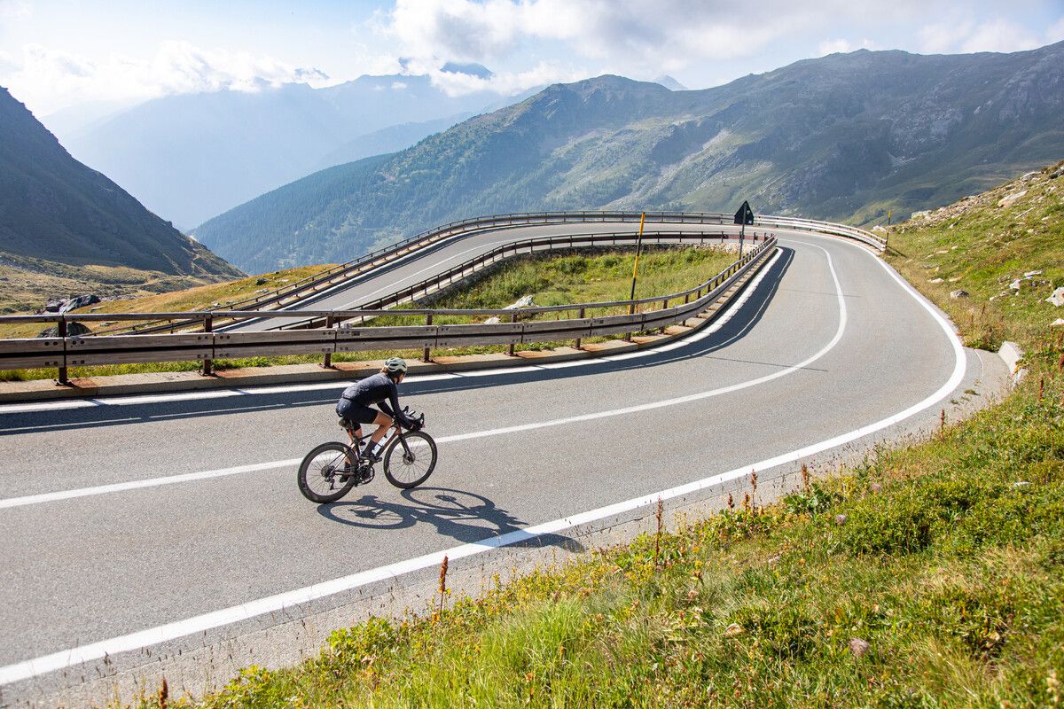
Road cycling in the Aosta Valley – major climbs and alpine routes
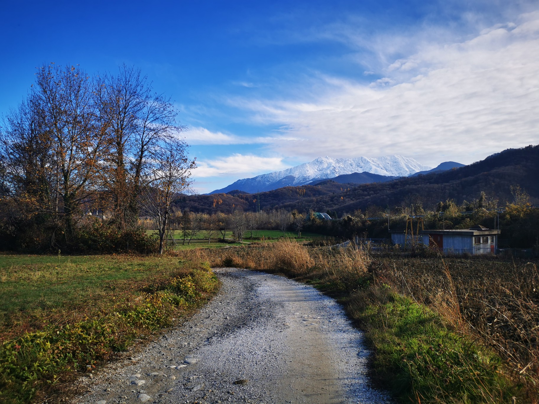
The alpine northwest – mountain gravel between Piedmont and the Aosta Valley
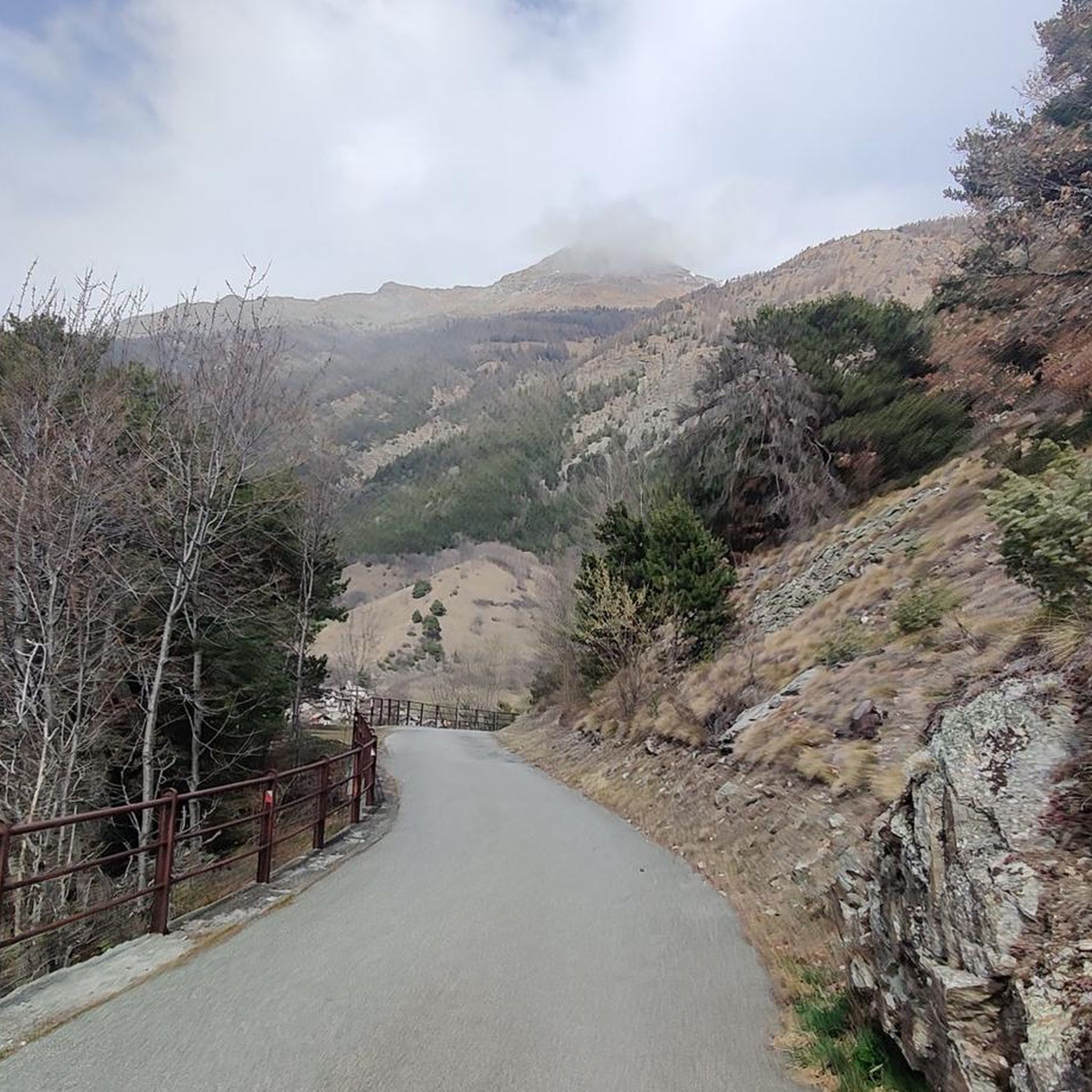
Road Cycling Routes around Saint-Christophe
Hiking around Saint-Christophe
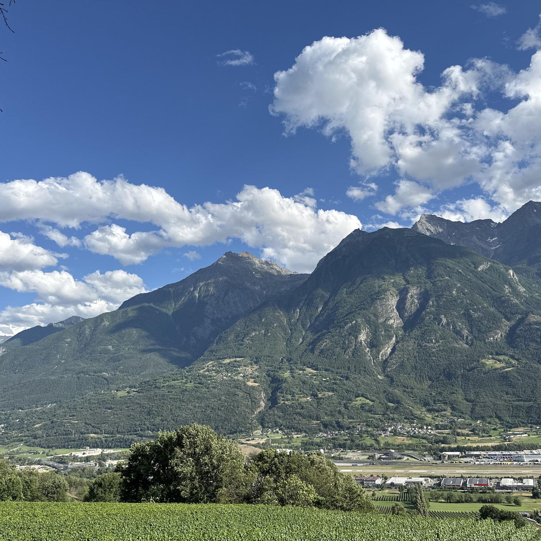
Running Trails around Saint-Christophe
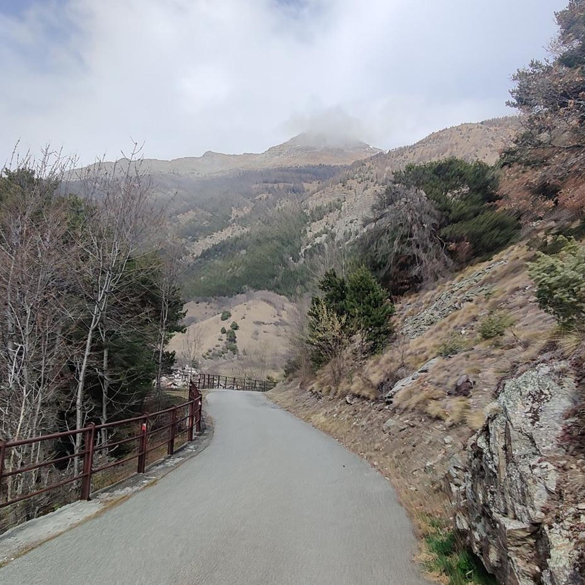
Cycling around Saint-Christophe
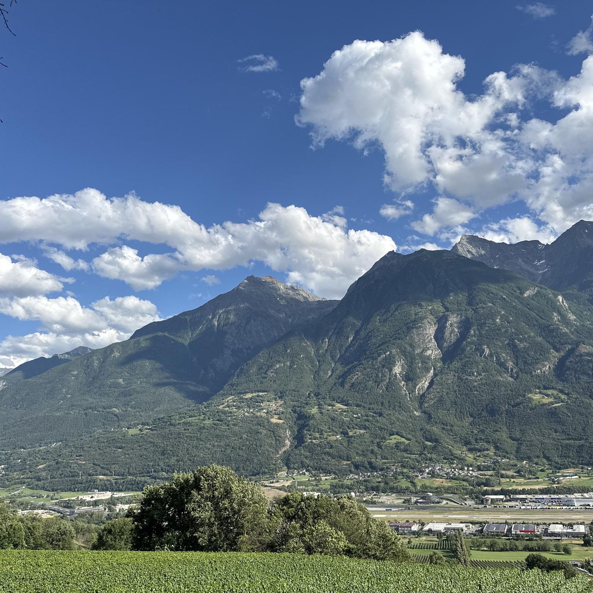
MTB Trails around Saint-Christophe
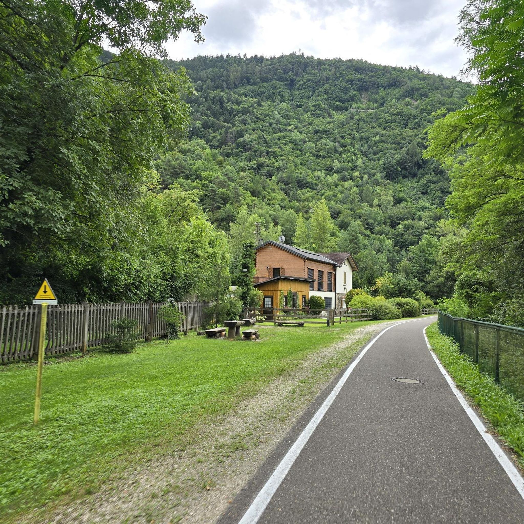
Mountain Hikes around Saint-Christophe


Tips from the Community

The crystal clear and very cool mountain water is channelled downhill for irrigation. An refreshing cool-down is ensured at any time.
0
0

The Tour du Mont Fallère is a charming circular hiking route that covers about 35 kilometers in the heart of the Aosta Valley, winding around the mountain of the same name amidst panoramic peaks, forests, and alpine pastures. Designed to be completed in two or three stages on foot or by mountain bike, the trail passes through several high-altitude structures in the area, including the historic Rifugio Chaligne and the Rifugio Mont Fallère.
0
0
Carved out of the eco-sustainable renovation of a typical stone and wood hut at an altitude of 1,943 meters, Rifugio Chaligne in Gignod offers 32 beds and a cuisine based on dairy products from local pastures. Reachable on foot in just over an hour from Buthier or by mountain bike along the rural road, the structure is part of the famous Tour du Mont Fallère hiking circuit.
1
0

Very beautiful village to spend your hikes in. Drinking water fountain present
0
0

Arpuilles is a hamlet in the municipality of Aosta, nestled on the hill north of the city at an altitude of about 1000 meters. The village, along with nearby Signayes, is part of that system of mid-mountain settlements that the Salassi—the Celtic population who inhabited the valley before the Roman conquest—seemed to prefer to the valley floors, and which over the centuries has maintained a rural character distinct from that of the underlying capital. So strong was this sense of identity that in the past the inhabitants of Arpuilles and Signayes even attempted to separate from the municipality of Aosta to form an autonomous municipality. The inhabited core consists of stone and wood houses arranged along the road that climbs from the plain, surrounded by meadows, pastures, and deciduous woods. From Arpuilles, one enjoys an open view of the Aosta basin and the surrounding mountains: Monte Emilius, Becca di Nona, and, in the distance, the peaks of Gran Paradiso. Its sunny position, sheltered from the north winds, has historically made it an area for spring and autumn grazing. Here passes the terminal section of the Ru Neuf, the ancient irrigation canal from 1327 that brought water from Étroubles to the hill of Aosta.
0
0

Climbing with bike up to Blavy is such a nice experience on its own: stunning views on the Alps!
0
0

At this point, there's a covered rest area ideal for those pedaling these trails, complete with an e-bike charging station and a tire pump. From the rest area, you can enjoy a spectacular view of the valley floor, perfect for a relaxing break during your hike or bike ride.
1
0

Frequently Asked Questions
What kind of terrain can I expect on gravel bike trails around Saint-Christophe?
Gravel biking around Saint-Christophe offers a diverse mix of terrain. You'll encounter both paved and unpaved surfaces, with significant elevation changes that include challenging climbs. The landscape varies from scenic valleys to areas with vineyards, providing a rich backdrop for your rides. Some routes may require very good fitness and potentially some bike pushing in certain segments, especially in the mountainous areas of the Aosta Valley.
Are there any easy gravel bike trails suitable for beginners in Saint-Christophe?
While many routes in Saint-Christophe are rated moderate to difficult, there are a few easier options. For instance, the Giro dei Ru di Roisan is a moderate 16.1 km trail that offers varied terrain and scenic views without extreme difficulty. Overall, there are 3 easy and 4 moderate tours available, providing good starting points for less experienced riders.
What are some of the natural features and viewpoints I can discover while gravel biking in the Aosta Valley near Saint-Christophe?
The region boasts stunning alpine landscapes and panoramic views. You can expect dramatic mountainous terrain and picturesque high-altitude lakes, such as Lake Chamolé, which offers breathtaking views of iconic peaks like Mont Blanc and Gran Combin. Many routes provide excellent vantage points for the Alps and the valley below. For specific highlights, consider exploring Col de Champillon or Colle Tsa Seche, both mountain passes offering spectacular scenery.
Are there any circular gravel bike routes around Saint-Christophe?
Yes, many of the gravel routes in Saint-Christophe are designed as loops. For example, the Beautiful trail along the – Chaligne Hut loop from Aosta is a challenging 33.0 km circular path that includes significant elevation gain and passes through mountainous landscapes. Another option is the Beautiful trail along the – Ru Neuf Canal Path loop from Gignod, a difficult 42.0 km loop.
What is the best time of year for gravel biking in Saint-Christophe?
Saint-Christophe in the Aosta Valley is best enjoyed for gravel biking during the warmer months, typically from late spring to early autumn. This period offers more stable weather conditions and ensures that higher-altitude trails and mountain passes are free of snow. Winter can bring challenging conditions due to snow and ice, making many routes inaccessible or significantly more difficult.
Are there any family-friendly gravel biking options in Saint-Christophe?
While many routes are geared towards more experienced riders, some sections or shorter, less challenging paths might be suitable for families. It's advisable to check the difficulty and elevation profiles of individual routes. For a general idea of family-friendly cycling, you might find the Flow Trail - Family highlight useful, although it's part of a bike park, it indicates areas designed for easier riding.
Can I bring my dog on the gravel bike trails in Saint-Christophe?
Many outdoor trails in the Aosta Valley are generally dog-friendly, especially if your dog is accustomed to longer distances and varied terrain. However, it's always best to check local regulations for specific trails or protected areas. Ensure your dog is well-behaved, on a leash where required, and that you carry enough water for both of you, especially on longer rides with significant climbs.
Are there any historical sites or points of interest along the gravel routes?
Beyond its natural beauty, Saint-Christophe and the Aosta Valley offer access to historical sites. For example, the Castello Sarriod de la Tour – Sarriod de La Tour Castle loop from Aosta Istituto is a moderate route that passes by the historic Sarriod de la Tour Castle. You might also encounter other historical landmarks or traditional villages along various routes, enriching your cycling experience.
Where can I find places to eat or stay near the gravel bike trails?
The Aosta Valley region, including areas around Saint-Christophe, has various options for accommodation and dining. Mountain huts like Arbolle Hut (at 2511 meters) and Chaligne Hut (at 1943 meters) serve as stopover points for mountain excursions, often offering food and accommodation. The town of Aosta, being a central hub, also provides numerous cafes, restaurants, and hotels. The Beautiful trail along the – Chaligne Hut loop from Aosta specifically mentions the Chaligne Hut, which is even accessible by mountain bike.
What do other gravel bikers enjoy most about gravel biking in Saint-Christophe?
The area is highly rated by the komoot community, with an average score of 4.9 stars from over 30 reviews. Reviewers often praise the diverse terrain, ranging from mixed paved and unpaved surfaces to challenging off-road sections, and the stunning scenic backdrops of the Aosta Valley. The variety of routes, catering to different ability levels, is also frequently highlighted.
Are there any long-distance gravel routes available near Saint-Christophe?
Yes, for those seeking longer rides, Saint-Christophe offers several options. The Porta Pretoria (Aosta) – Ru Neuf Canal Path loop from Aosta is a challenging 70.9 km route with over 2000 meters of elevation gain, designed for experienced riders looking for a substantial day out. Another significant route is the Beautiful trail along the – Ru Neuf Canal Path loop from Gignod, which covers approximately 42.0 km.
Most popular routes around Saint-Christophe
Most popular attractions around Saint-Christophe

Get inspired with the komoot mobile app


Explore more
Browse the best Gravel rides in other regions.
