The best gravel rides around Quincinetto
3.6
(15)
68
riders
22
rides
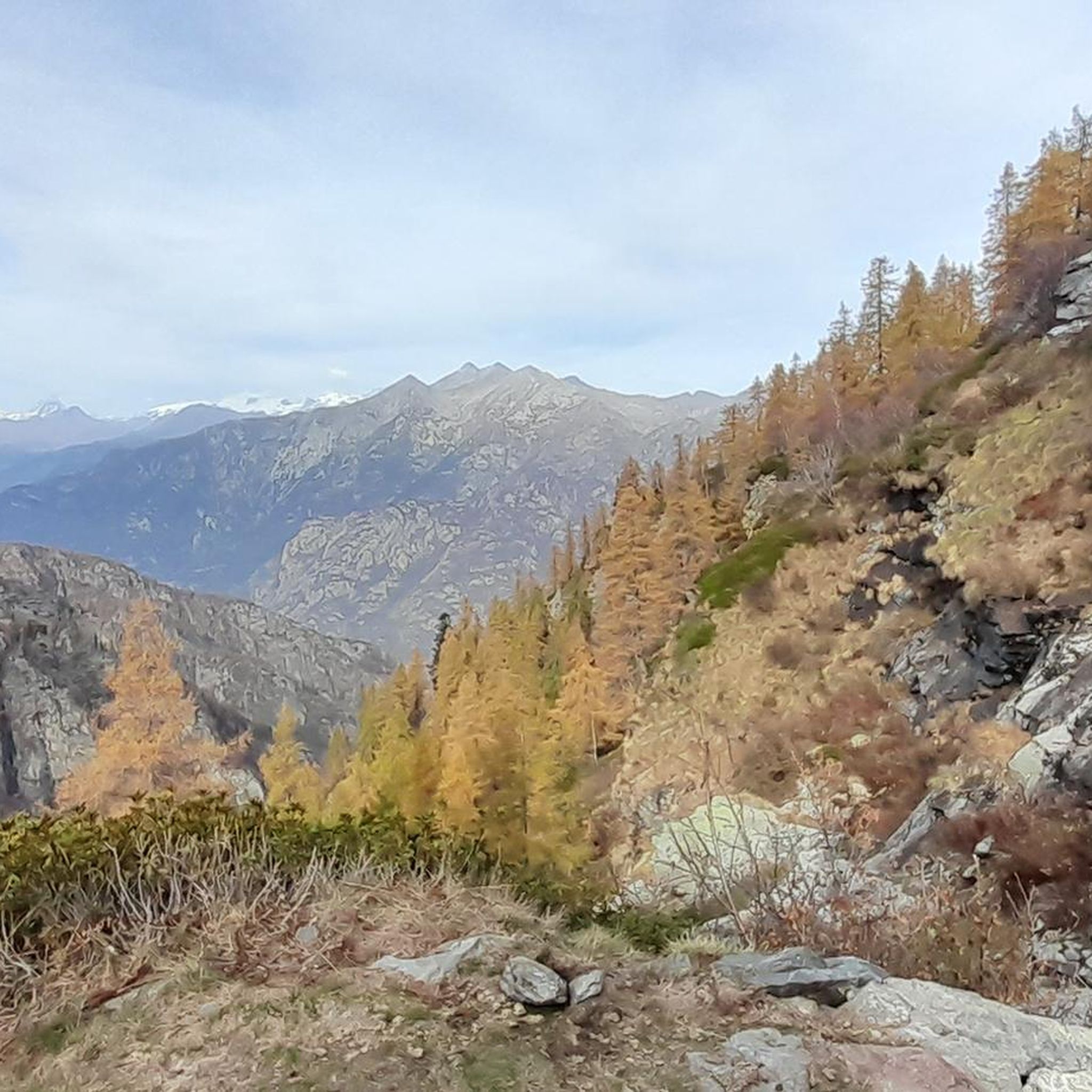
Gravel biking around Quincinetto offers a diverse landscape characterized by river valleys, forested slopes, and the foothills of the Alps. The region features varied terrain, from gentler paths along water bodies to more challenging ascents into higher elevations. Gravel bike trails in Quincinetto often follow old logging roads or agricultural tracks, providing a mix of surfaces suitable for gravel bikes. The area's topography ensures a range of routes for different skill levels.
Best gravel bike trails around Quincinetto
- The most…
Last updated: October 11, 2026
23.0km
04:40
1,920m
110m
Hard gravel ride. Very good fitness required. You may need to push your bike for some segments of this route.
3.0
(1)
12
riders
42.9km
03:33
1,400m
1,400m
Hard gravel ride. Very good fitness required. Mostly paved surfaces. Suitable for all skill levels.

1.0
(1)
13
riders
44.2km
02:49
230m
230m
Moderate gravel ride. Good fitness required. Mostly paved surfaces. Suitable for all skill levels.
6
riders
28.2km
01:45
260m
260m
Moderate gravel ride. Good fitness required. Mostly paved surfaces. Suitable for all skill levels.
6
riders
37.8km
02:29
530m
530m
Hard gravel ride. Very good fitness required. Mostly paved surfaces. Suitable for all skill levels.
Get access to more routes and recommendations from other explorers.
Already have an account?
Our route recommendations are based on thousands of hikes, rides, and runs completed by other people on komoot.
Start today with a free account
Your next adventure awaits.

Other adventures around Quincinetto

Tips from the Community


Place of worship and for those seeking peace.
0
0

The Champrocher Royal Road is a charming historical route commissioned in the 18th century by the House of Savoy. It connected the valley floor with the hunting lodges, facilitating the travel of the nobility and their entourage. Today, it is a beautiful path immersed in greenery, with stone sections and splendid panoramic views of the valley.
2
0

The Church of Sant’Andrea Apostolo has a neoclassical façade dominated by four Ionic columns leading to a triangular tympanum.
1
0

An ancient cemetery dating back to the Napoleonic era, abandoned in the 1940s. https://fondoambiente.it/luoghi/cimitero-del-fiorentino?ldc
0
0

From the centre of the village you start to climb
0
0

Arrival time is 7:30 PM (dinner time). In the morning, rooms can be vacated at 9:30 AM. It's located along the mule track leading to Lake Miserin, making it very convenient. The facility is spacious, with both smaller rooms and mixed dormitories. They have showers, unlike other refuges in the area, and this is a plus. Good food and very friendly service. Prices are average for the area: a dorm with half board costs €56 per person, a private room €70 per person.
0
0

It is a unique place of its kind. In a rather small and circumscribed area 2 steps from the Montalto lake (also called "Rabbit" lake) there is an area with a very dark soil composed of water, peat, earth and medium-sized trees. Especially when the ground is wet or it has rained previously if you jump on the surface, it moves creating small waves making the surrounding trees dance. A real show! You can reach the dancing lands from 2 different dirt tracks. For those with good technical skills the entry or exit paths in both directions are also fun to pedal.
0
0
Frequently Asked Questions
How many gravel bike trails are available around Quincinetto?
There are over 30 gravel bike trails around Quincinetto, offering a wide range of options for different skill levels. The majority of these routes are considered difficult, with a few moderate and easy options available.
What kind of terrain can I expect on gravel bike trails in Quincinetto?
The terrain around Quincinetto is quite varied, characterized by river valleys, forested slopes, and the foothills of the Alps. You'll encounter a mix of surfaces, often following old logging roads or agricultural tracks, suitable for gravel bikes. Expect everything from gentler paths along water bodies to more challenging ascents into higher elevations.
Are there any easy or beginner-friendly gravel bike routes in Quincinetto?
While many routes in the region are challenging, there are a few options suitable for beginners or those looking for an easier ride. For example, the area offers some moderate routes like The Dancing Lands – Black Lake loop from Tavagnasco, which covers 28.2 km with a more manageable elevation gain.
What are some challenging gravel bike trails for experienced riders?
Experienced gravel bikers will find plenty of challenging routes. The Valle di Champorcher Cycle Route is a demanding 23 km trail with significant elevation gain. Another excellent option is the San Giacomo Picnic Area – Burnel di Nomaglio loop from Borgofranco d'Ivrea, a difficult 43.2 km path exploring varied terrain with substantial climbing.
Are there any long-distance gravel bike loops around Quincinetto?
Yes, for those seeking a longer adventure, the Lake Viverone – Lake Viverone loop from Pont-Saint-Martin is a substantial 89.9 km trail. This route leads through the scenic Lake Viverone area and is often completed in about 6 hours and 40 minutes, offering a full day's ride.
What interesting landmarks or attractions can I see along the gravel bike trails?
The region around Quincinetto is rich in natural and historical sights. You might encounter places like Lake Pistono, the unique natural monument of The Dancing Lands, or historical structures such as Bastia Tower and the impressive Fort Bard. There are also several beautiful waterfalls, including the Cogne Mines Waterfall and Chiara Waterfall.
What do other gravel bikers enjoy most about gravel biking in Quincinetto?
The area is highly rated by the komoot community, with an average score of 4.2 stars from over 10 reviews. Reviewers often praise the diverse landscape, which combines river valleys, forested hills, and the presence of lakes, offering a wide range of routes for different ability levels.
Are there any circular gravel bike routes available?
Yes, many of the gravel bike routes around Quincinetto are designed as loops. Examples include the San Giacomo Picnic Area – Burnel di Nomaglio loop from Borgofranco d'Ivrea, the Lake Viverone – Lake Viverone loop from Pont-Saint-Martin, and the Fort Bard – Fort Bard loop from Bard, providing convenient starting and ending points.
What is the best time of year for gravel biking in Quincinetto?
The region's climate, being in the foothills of the Alps, suggests that spring and autumn generally offer the most pleasant conditions for gravel biking, with milder temperatures and beautiful scenery. Summer can be warm, especially in the valleys, while winter might bring snow to higher elevations, making some trails less accessible.
Is public transport available to access gravel biking trails in Quincinetto?
Quincinetto is located in a region with some public transport connections, primarily by bus or regional train services that connect to larger towns. It's advisable to check local transport schedules for specific routes and stops that might be close to your chosen trailheads, as direct access to all trails might require a car.
Are there options for parking near the gravel bike trails?
Many trailheads and starting points in and around Quincinetto, especially in towns like Borgofranco d'Ivrea, Pont-Saint-Martin, or Tavagnasco, offer designated parking areas. For specific routes, it's recommended to check the individual tour details on komoot for parking information at the starting point.
Are there any gravel bike trails that pass by cafes or refreshment stops?
While specific cafe locations are not detailed for every route, many trails pass through or near small villages and towns where you can find local cafes, trattorias, or picnic areas. For instance, the San Giacomo Picnic Area – Burnel di Nomaglio loop explicitly mentions a picnic area, suggesting a potential spot for a break.
Most popular routes around Quincinetto
Most popular attractions around Quincinetto

Get inspired with the komoot mobile app


Explore more
Browse the best Gravel rides in other regions.
