The best gravel rides around Limido Comasco
4.4
(217)
1,309
riders
69
rides
Gravel biking around Limido Comasco offers diverse routes through its distinctive rural landscapes and extensive network of paths. The area is characterized by vast agricultural fields, providing open views and a tranquil backdrop for rides. A significant portion of the Parco Pineta di Appiano Gentile e Tradate extends into the region, featuring wooded areas and multi-use trails suitable for gravel bikes. Well-maintained cyclopedestrian paths also connect towns, offering smooth stretches and connectors for varied cycling experiences.
Best gravel bike trails…
Last updated: October 11, 2026
4.5
(27)
107
riders
Hard gravel ride. Very good fitness required. Mostly paved surfaces. Suitable for all skill levels.
3.9
(7)
91
riders
76.4km
04:13
400m
400m
Moderate gravel ride. Good fitness required. Mostly paved surfaces. Suitable for all skill levels.

4.5
(4)
36
riders
Easy gravel ride. Great for any fitness level. Mostly paved surfaces. Suitable for all skill levels.
4.0
(4)
36
riders
Moderate gravel ride. Good fitness required. Mostly paved surfaces. Suitable for all skill levels.
4.5
(2)
12
riders
34.7km
02:47
320m
320m
Hard gravel ride. Good fitness required. You may need to push your bike for some segments of this route.
Get access to more routes and recommendations from other explorers.
Already have an account?
Our route recommendations are based on thousands of hikes, rides, and runs completed by other people on komoot.
Start today with a free account
Your next adventure awaits.
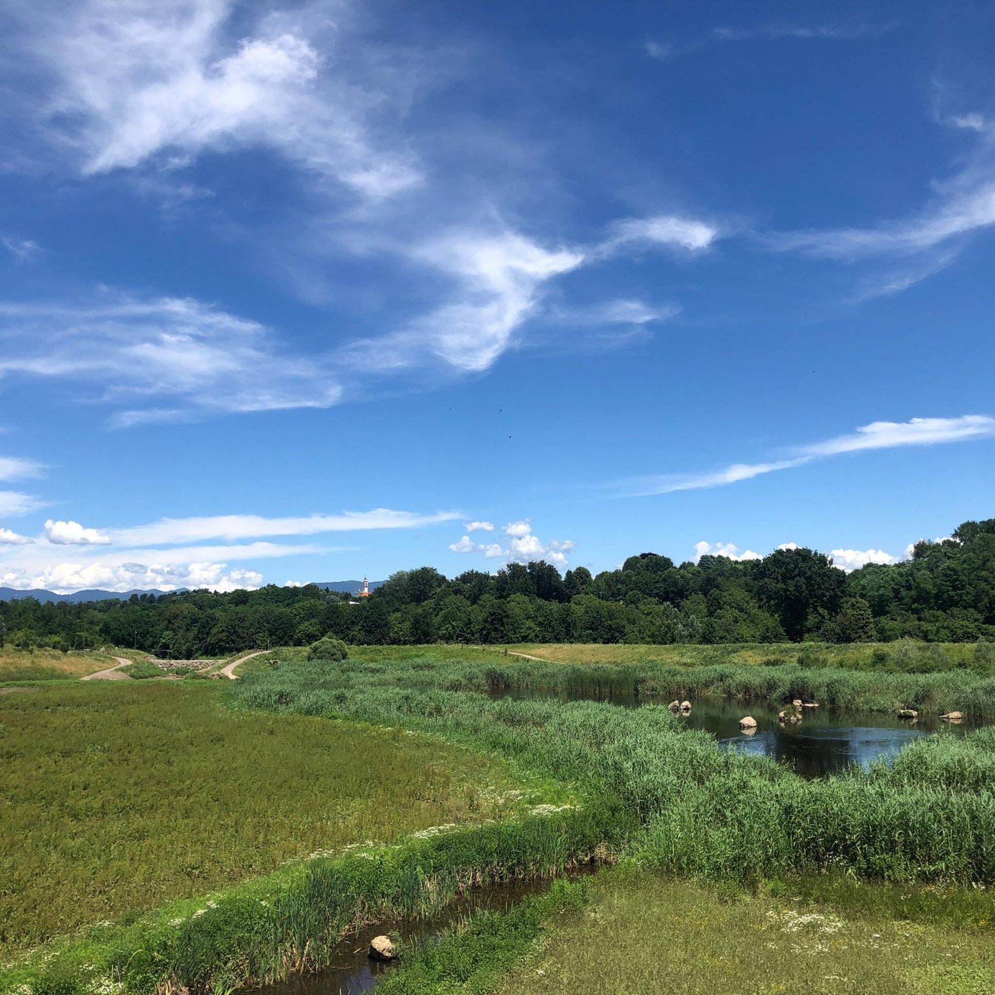
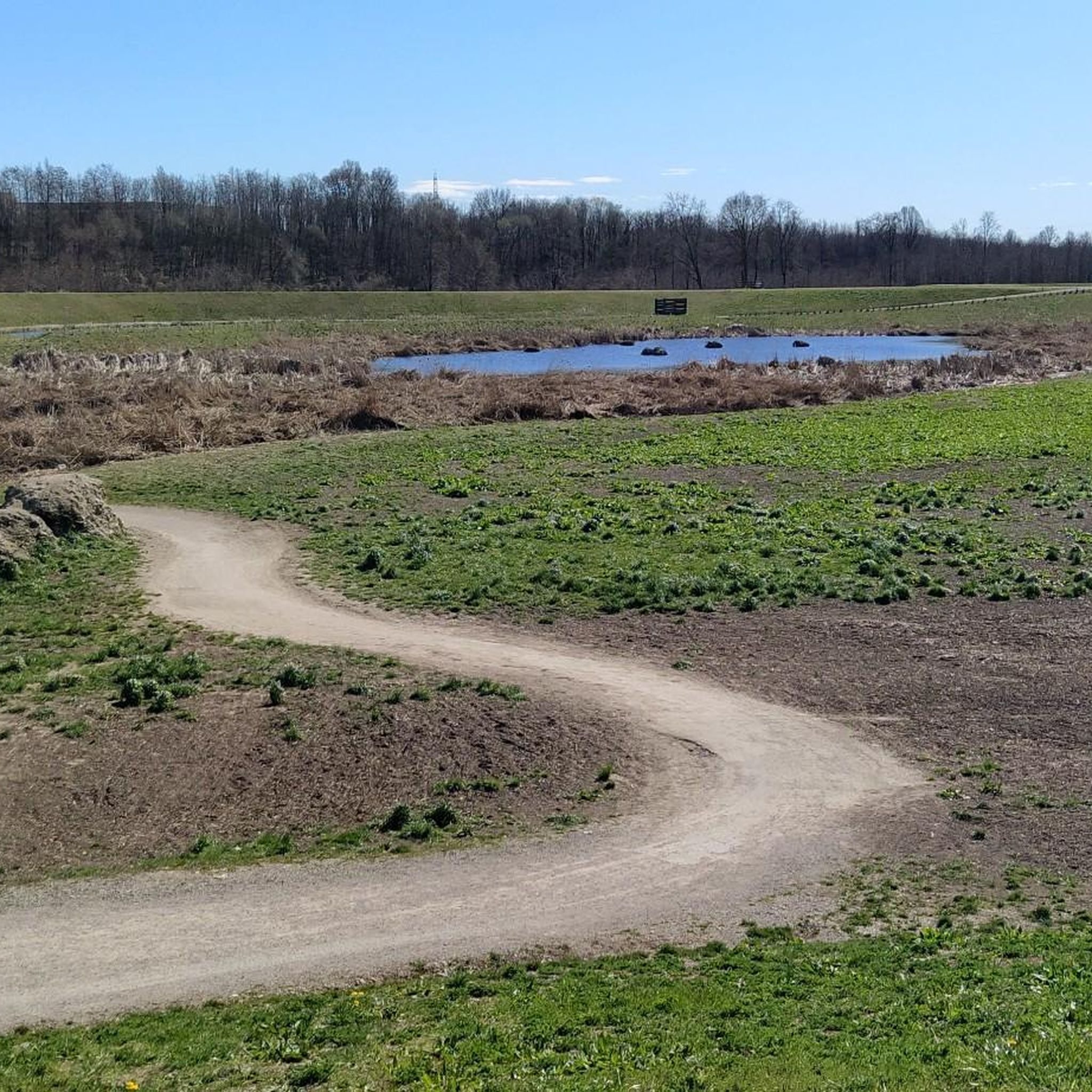
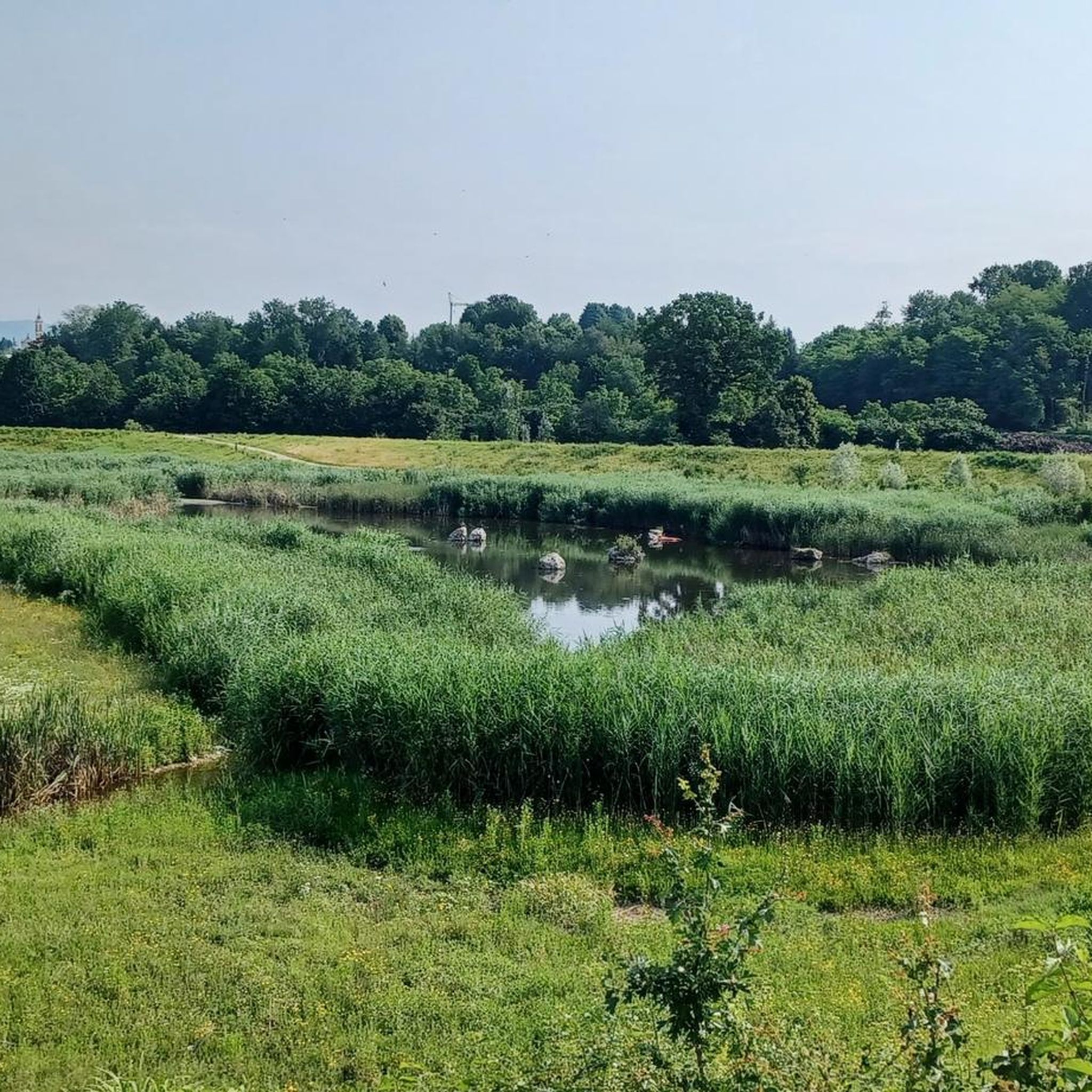
Tips from the Community

The Parco delle Groane e della Brughiera Briantea is an immense protected natural area in Lombardy that extends for about 8,249 hectares in the upper Lombardy plain, touching 28 or 29 municipalities distributed among the provinces of Milan, Como, and Monza and Brianza. [1, 2, 3, 4] Originally established in 1976, the park has doubled its surface area in recent years thanks to the incorporation of the PLIS della Brughiera Briantea and the Fontana del Guercio Nature Reserve. The term "groane" derives from the local historical name for heathlands, which here represent one of the southernmost heathlands in Europe.
0
0
The Villoresi canal takes water from the river Ticino, in the locality of Panperduto, in the municipality of Somma Lombardo. After travelling 86 kilometers, through the provinces of Milan and Monza Brianza, it flows into the river Adda in the municipality of Cassano d’Adda. Construction work began in 1881 and was completed in 1891 to a design by Eugenio Villoresi. Originally intended exclusively for irrigation, following the crisis in crops related to silk production, the canal now allows water distribution in a plain area of approximately 85,000 hectares, through a network that totals around 3,000 kilometers. The paths, which are free of difficulties, accessible to everyone and certainly of interest, are part of the investments made to enhance the towpaths of the waterways, and are also considered a fast connection route between the various Municipalities bordering the canal.
1
0

The Lura is a stream in Lombardy that originates near the Italian-Swiss border, in the municipality of Uggiate con Ronago, at an altitude of about 400 m. The Lura has a total length of 46.2 km and a drainage basin of 120 km², and is today the largest tributary of the Olona river.
0
0
The Strada Alzaia Canale Villoresi is a service road of about 85-90 km that runs along the canal from Somma Lombardo (VA) to Cassano d'Adda (MI), managed by the Consorzio Est Ticino Villoresi. Although it is widely used by cyclists and walkers, it is not a real cycle path but a road for mixed use and maintenance.
0
0

bridge over the Lura in the homonymous park
0
0

always very fun to cycle on these dirt roads!!
2
0
The Pista Ciclopedonale della Valle Olona, starting from Castellanza, mainly follows the bank of the Olona River along consortium roads to Solbiate Olona, remaining on the other side of the Valley with respect to the track of the former Valmorea Railway.
1
0

A leap into 1176 with the Battle of Legnano
3
0
Frequently Asked Questions
How many gravel bike trails are available around Limido Comasco?
There are over 80 gravel bike trails around Limido Comasco, offering a wide range of options for different skill levels and preferences. You'll find everything from easy loops to more challenging long-distance routes.
What kind of terrain can I expect on gravel bike trails in Limido Comasco?
Gravel biking in Limido Comasco offers a diverse experience. You'll primarily traverse extensive agricultural fields with open views, quiet rural roads, and wooded trails within the Parco Pineta di Appiano Gentile e Tradate. There are also well-maintained cyclopedestrian paths that connect towns, providing smoother stretches.
Are there family-friendly gravel bike trails in Limido Comasco?
Yes, Limido Comasco has several family-friendly options. Many of the easy routes, particularly those on cyclopedestrian paths or within the Lura Park area, are suitable for families. For example, the Lura Park – Cycling and pedestrian bridge over the Lura loop from Lomazzo is an easy 13.5-mile route that explores the park with a mix of paths, ideal for a relaxed family outing.
What are some notable natural features or landmarks I can see along the trails?
The region is rich in natural beauty and historical points of interest. Within the Parco Pineta, you might discover the Roccolo di Limido, an ancient bird-trapping structure. You can also explore areas like Lura Park and the Ca' Bianca Pond, which offer serene natural settings. The agricultural hamlet of Cascina Restelli also provides a glimpse into the region's rural heritage.
What is the best time of year for gravel biking in Limido Comasco?
The best seasons for gravel biking in Limido Comasco are generally spring and autumn. During these times, the weather is mild, and the landscapes are particularly picturesque, with blooming fields in spring and vibrant colors in autumn. Summer can also be enjoyable, especially in the wooded areas of Parco Pineta, but be prepared for warmer temperatures.
Are there any challenging gravel bike routes for experienced riders?
Absolutely. While there are many easy and moderate routes, Limido Comasco also offers challenging options. For instance, the View from the San Maffeo Church – Former Valmorea Railway loop from Rovellasca-Manera is a difficult 59-mile route with significant elevation gain, perfect for experienced gravel bikers seeking a longer, more demanding ride.
Can I find loop trails for gravel biking in this area?
Yes, many of the gravel bike trails around Limido Comasco are designed as loops, allowing you to start and finish at the same point. This is convenient for parking and exploring. An example is the Scenic Forest Path – Magic Forest Trail loop from Mozzate, a 21.7-mile difficult loop through varied terrain.
What do other gravel bikers say about the trails in Limido Comasco?
The gravel biking routes in Limido Comasco are highly rated by the komoot community, with an average score of 4.3 stars from over 200 reviews. Riders often praise the tranquil rural landscapes, the variety of paths through agricultural fields and forests, and the well-maintained cyclopedestrian connections.
Are there options for longer, more adventurous gravel rides?
Yes, for those looking for longer adventures, routes like the Olona Valley Cycle Path – Towpath of the Villoresi Canal loop from Tradate-Abbiate Guazzone offer a substantial challenge. This difficult 43.4-mile path follows the historic towpath of the Villoresi Canal, providing varied terrain and a full day's ride.
Where can I park my car when starting a gravel bike tour?
Parking is generally available in the towns and villages near the trailheads, such as Limido Comasco, Lomazzo, Mozzate, or Tradate-Abbiate Guazzone. For routes within or near the Parco Pineta, look for designated parking areas at park entrances or nearby public spaces. It's always a good idea to check specific starting points for the most convenient parking.
Are there any routes that follow old railway lines?
Yes, the region offers unique routes that utilize former railway lines, providing interesting historical context and often smooth, relatively flat paths. The Monastery of Torba – Former Valmorea Railway loop from Mozzate is a great example, leading you along the former Valmorea Railway line for a 43.1-mile journey.
Most popular routes around Limido Comasco
Most popular attractions around Limido Comasco

Get inspired with the komoot mobile app


Explore more
Browse the best Gravel rides in other regions.
