The best gravel rides around Sale Marasino
4.2
(39)
652
riders
25
rides
Gravel biking around Sale Marasino offers routes through varied terrain, characterized by ascents into the surrounding mountains and views of Lake Iseo. The region features a mix of forested paths, open mountain tracks, and trails that connect small villages. Riders can expect significant elevation changes on many routes, providing a challenging experience.
Best gravel bike trails around Sale Marasino
- The most popular gravel bike trail is Malga Guglielmo di Sopra – Ascent to Monte Guglielmo loop from Sale Marasino,…
Last updated: May 12, 2026
4.4
(10)
69
riders
43.2km
03:57
1,820m
1,820m
Hard gravel ride. Very good fitness required. Mostly paved surfaces. Suitable for all skill levels.
4.0
(2)
26
riders
64.1km
04:37
1,640m
1,640m
Hard gravel ride. Very good fitness required. Mostly paved surfaces. Suitable for all skill levels.

Sign up for free
18
riders
69.6km
04:23
730m
730m
Hard gravel ride. Very good fitness required. Mostly paved surfaces. Suitable for all skill levels.
3.5
(2)
15
riders
38.2km
02:53
990m
990m
Hard gravel ride. Very good fitness required. Mostly paved surfaces. Suitable for all skill levels.
4.5
(2)
18
riders
46.7km
03:40
1,430m
1,430m
Hard gravel ride. Very good fitness required. Mostly paved surfaces. Suitable for all skill levels.
Get access to more routes and recommendations from other explorers.
Sign up for free
Already have an account?
Our route recommendations are based on thousands of hikes, rides, and runs completed by other people on komoot.
Start today with a free account
Your next adventure awaits.
Login or Signup
Popular around Sale Marasino
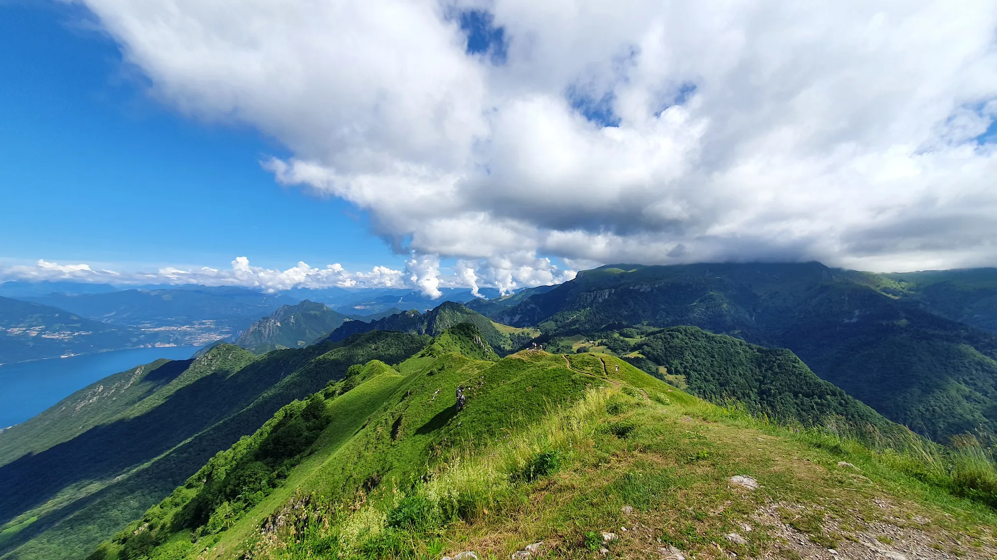
Between paths, refuges and churches – the hidden side of Lake Iseo
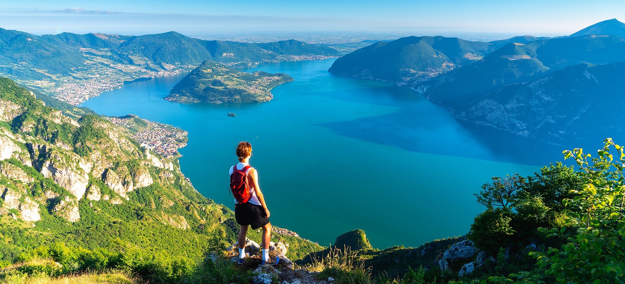
Where mountains meet the water – hike on Italy’s Lake Iseo
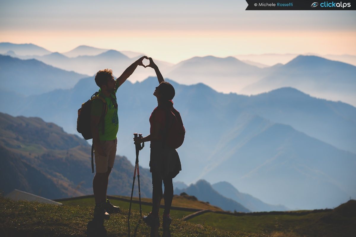
10 balconi sul Lago d'Iseo
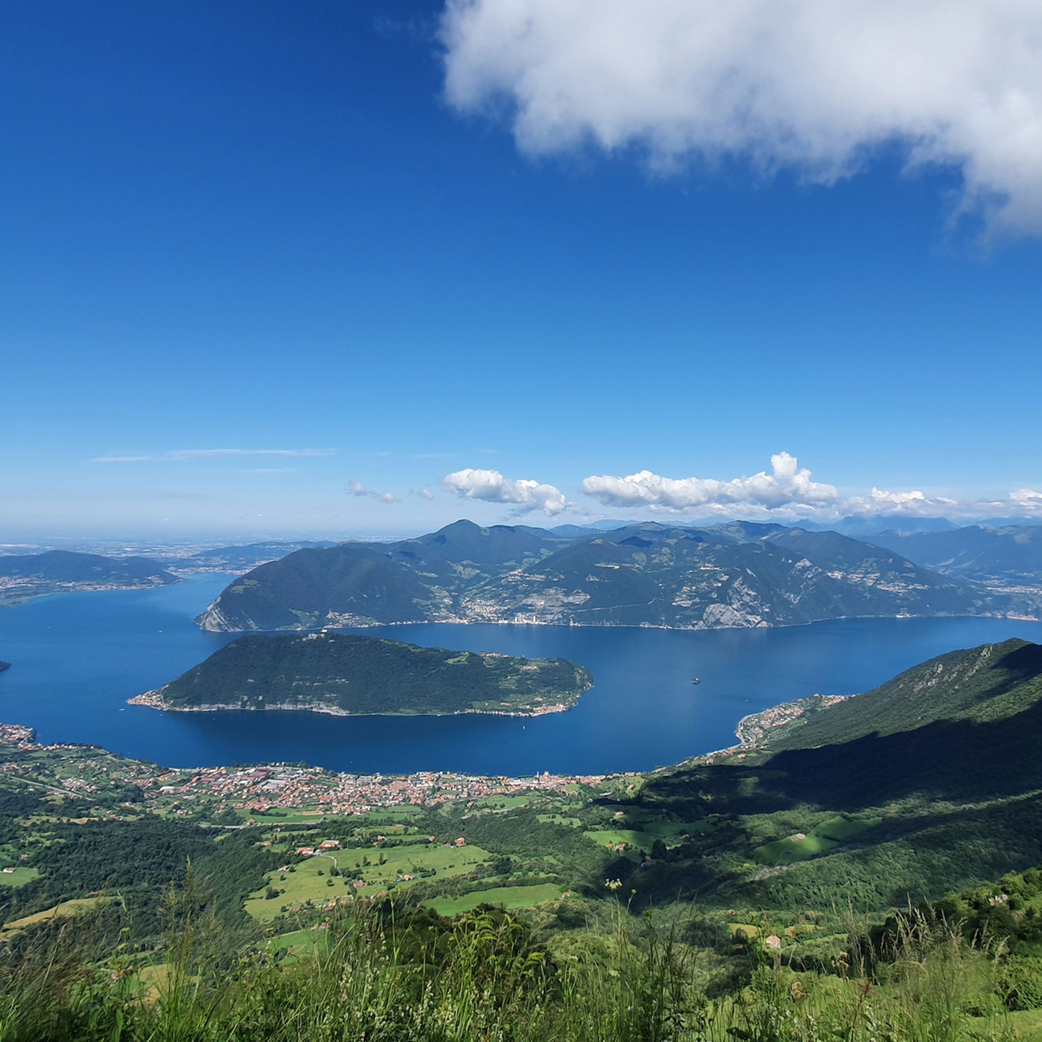
Hiking around Sale Marasino
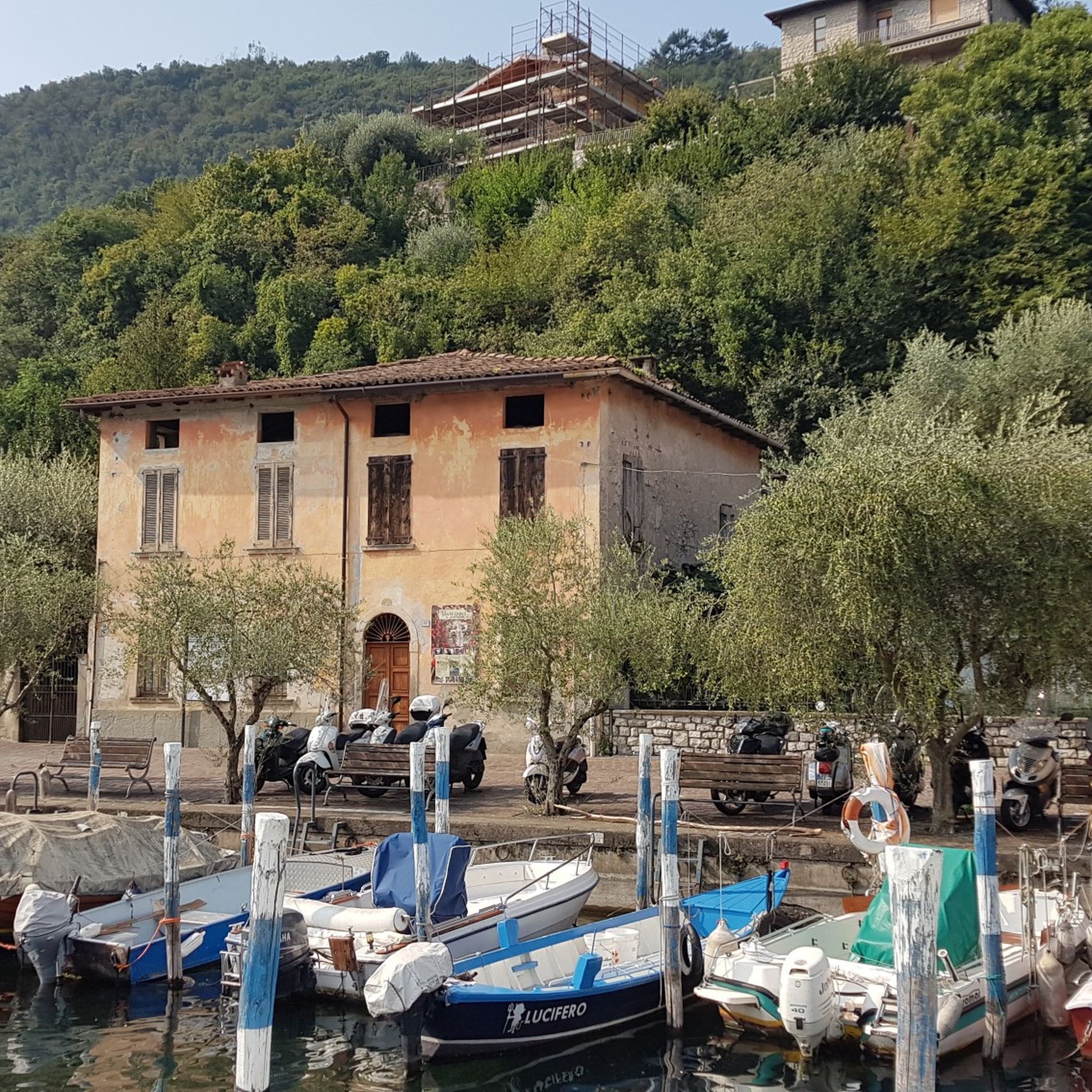
Cycling around Sale Marasino
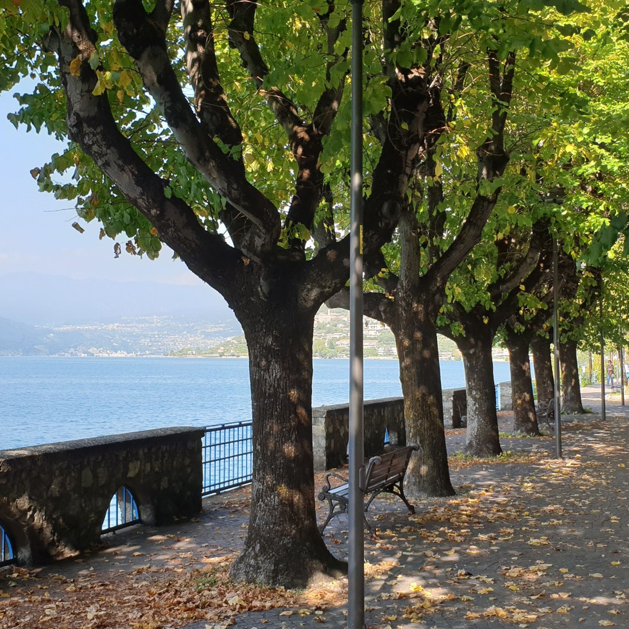
Road Cycling Routes around Sale Marasino
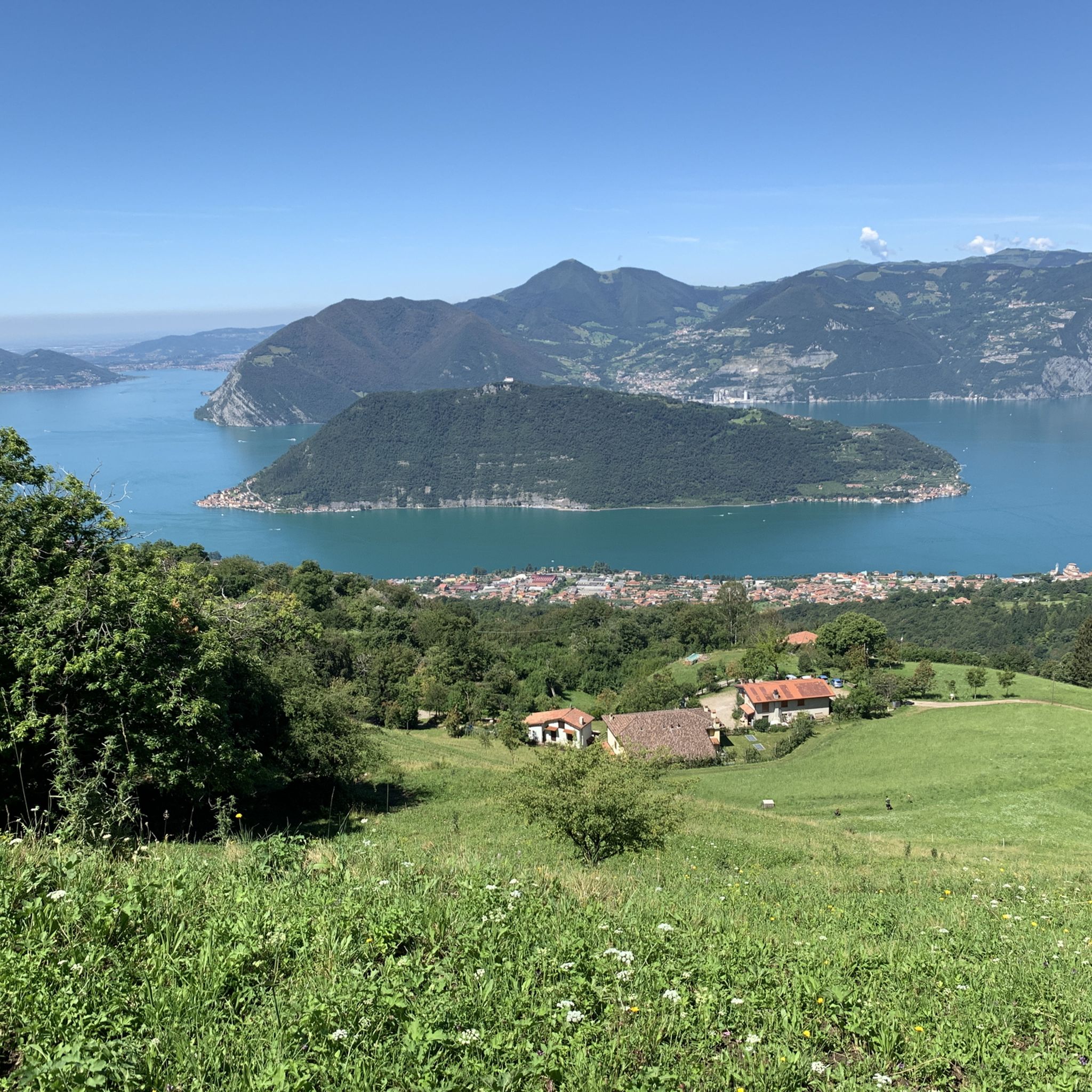
MTB Trails around Sale Marasino
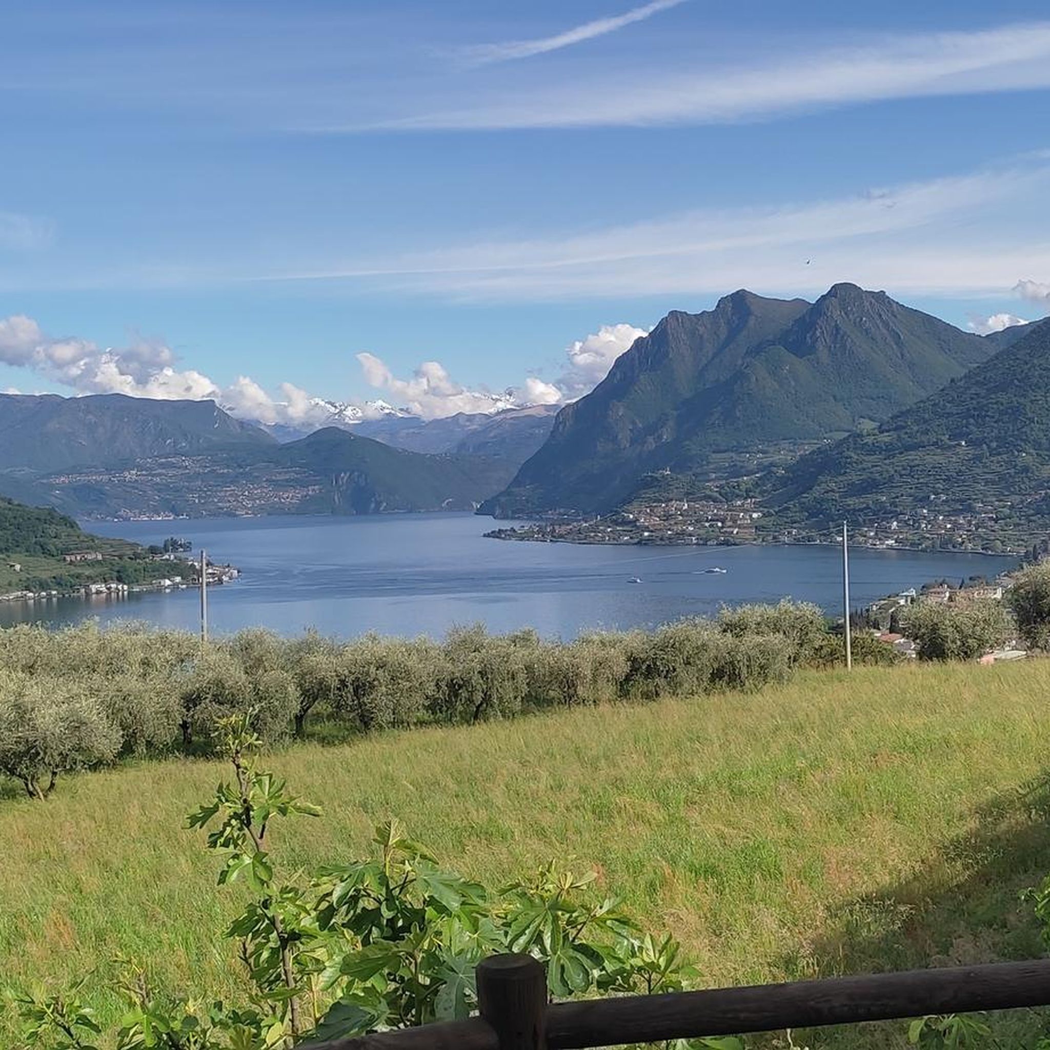
Running Trails around Sale Marasino
Mountain Hikes around Sale Marasino


Tips from the Community

The Rifugio Croce di Marone is located at 1,166 m on the southern slope of Monte Guglielmo, above Marone, and is one of the most convenient and frequented starting points for climbing the Guglielmo. 🏔️ Hut identity and location The refuge is located in the Croce di Marone area, reachable via the road that climbs from Marone → Cislano → Madonna della Rota, crossing the Valle dell’Opol. It is situated in a panoramic and strategic point for: Monte Guglielmo (1948 m) – classic and very frequented ascent Malga Guglielmo di Sotto and di Sopra Rifugio Almici Piani di Caregno The refuge is open all year round, has a restaurant, electric light, hot water, and about 15 beds. 🚗 How to get there By car from Marone Follow the signs for Zone. After about 4.5 km, past the cable car underpasses, you will find a sharp right turn with a sign for the refuge. The road becomes narrow and steep in the final kilometers. Paid parking with scratch card (3 € up to 4 hours, 5 € for longer). On foot from Zone (Englar) You can leave your car at the Englar restaurant (640 m). Ascent along the road/CAI 226 trail → approx. 1h20’–1h50’ depending on whether you cut corners. 🚶♂️ Main excursions from the refuge 1. Monte Guglielmo (E – approx. 2h) This is the shortest and most direct route to reach the summit of Guglielmo: Initial mule track Junction for Malpensata Section with white-blue 3V trail markers Malga Guglielmo di Sotto → Malga di Sopra Rifugio Almici → summit with the Monument to the Redeemer The panorama over the Sebino and the Prealps is considered one of the most beautiful in the area. 2. Rifugio Almici (1861 m) – 2h Simple and panoramic route along the mule track. 3. Piani di Caregno – 3h30’ Longer but very scenic route. 🏞️ Environment and atmosphere The area is characterized by: beech and fir woods open pastures views of Lake Iseo and Val Trompia presence of the 3V trail nearby It is an ideal spot for short excursions, longer treks, or family days out.
0
0

when they say lose your head, unique landscapes that will steal your heart
0
0
Climbing to Zone, it's impossible not to see these wonders of nature, you'll be amazed!
0
0

just to catch your breath before the final climbs to the Redentore
0
0

The restaurant was closed after an inspection by the NAS… just last year…
0
0


Frequently Asked Questions
How many gravel bike trails are available around Sale Marasino?
There are over 35 gravel bike trails in the Sale Marasino area, offering a wide range of options for different skill levels. The region is known for its varied terrain, including mountain ascents and paths with views of Lake Iseo.
Are there any easy or beginner-friendly gravel bike routes in Sale Marasino?
While many routes in Sale Marasino feature significant elevation changes, there are a few easier options. Out of the 39 available routes, 2 are classified as easy and 9 as moderate, providing less challenging alternatives for beginners or those seeking a more relaxed ride.
What are the typical lengths and durations of gravel bike trails in this region?
Gravel bike trails around Sale Marasino vary significantly in length and duration. For example, a challenging route like Malga Guglielmo di Sopra – Ascent to Monte Guglielmo loop from Sale Marasino covers about 41.7 km and takes nearly 4 hours, while others can be shorter or longer depending on the elevation and terrain.
Are there circular gravel bike routes available?
Yes, many of the gravel bike routes around Sale Marasino are designed as loops. For instance, the popular Polaveno Summit – View of Lake Iseo loop from Faito is a circular trail that offers stunning views of Lake Iseo.
What kind of scenery can I expect on gravel bike trails near Sale Marasino?
Riders can expect diverse and scenic landscapes. Many trails feature ascents into the surrounding mountains, offering panoramic views of Lake Iseo. You'll also encounter forested paths, open mountain tracks, and routes connecting small villages. The Polaveno Summit – View of Lake Iseo loop from Faito is particularly noted for its lake views.
What are some notable attractions or landmarks along the gravel bike routes?
The region offers several interesting natural and man-made attractions. You might encounter the unique Pyramids of Zone, or the Monument to the Redeemer on Monte Guglielmo. The Torbiere del Sebino Nature Reserve also offers a unique natural landscape to explore.
Are there challenging gravel bike routes for experienced riders?
Absolutely. Sale Marasino is well-suited for experienced gravel bikers, with 28 out of 39 routes classified as difficult. These trails often feature substantial elevation changes and technical sections. An example is the Mella Cycle Path in Concesio – Former Monastery of Santo Stefano loop from Polaveno, which includes significant climbs.
What is the best time of year for gravel biking in Sale Marasino?
The best time for gravel biking in Sale Marasino is typically during spring and autumn when the weather is milder and the landscapes are vibrant. Summer can be warm, especially at lower elevations, while winter may bring colder temperatures and snow to higher mountain paths, making some routes less accessible.
What do other gravel bikers say about the trails in Sale Marasino?
The gravel biking routes in Sale Marasino are highly regarded by the komoot community, holding an average rating of 4.6 stars from over 100 reviews. Riders frequently praise the challenging ascents, the rewarding views of Lake Iseo, and the diverse mix of forested and open mountain tracks.
Are there any routes that pass through villages or offer opportunities for refreshments?
Many routes in the Sale Marasino area connect small villages, providing opportunities to stop for refreshments. While specific cafes aren't listed for individual routes, planning your ride through towns like Sale Marasino itself or other nearby settlements will allow you to find places to eat or drink. The Borgo del Maglio of Ome – Borgo del Maglio loop from Ombrione, for instance, navigates through varied terrain that includes village proximity.
What are the elevation gains like on gravel bike trails in Sale Marasino?
Gravel bike trails in Sale Marasino are characterized by significant elevation changes, especially on the more difficult routes. For example, the Avano – Rifugio Piardi loop from Marcheno involves an ascent of over 1400 meters, providing a substantial climbing challenge for riders.
Most popular routes around Sale Marasino
Most popular attractions around Sale Marasino

Get inspired with the komoot mobile app


Explore more
Browse the best Gravel rides in other regions.
