The best gravel rides around Berzo Inferiore
4.3
(42)
549
riders
40
rides
Gravel biking around Berzo Inferiore is characterized by mountainous terrain within the Val Camonica, featuring significant elevation changes and scenic passes. The region includes river valleys, such as those along the Oglio, and extends into alpine foothills with routes traversing various mountain ranges. Riders can expect a mix of challenging climbs and descents on unpaved roads and trails. The landscape is rich with dense forests and features alpine lakes like Lake Lova and Lake Moro.
Best gravel bike trails around…
Last updated: August 14, 2026
4.7
(3)
31
riders
29.9km
01:58
310m
320m
Moderate gravel ride. Good fitness required. Mostly paved surfaces. Suitable for all skill levels.
4.0
(3)
40
riders
52.6km
03:24
540m
540m
Hard gravel ride. Very good fitness required. Mostly paved surfaces. Suitable for all skill levels.

Sign up for free
3.0
(1)
19
riders
Hard gravel ride. Very good fitness required. Mostly paved surfaces. Suitable for all skill levels.
5.0
(1)
20
riders
38.7km
02:53
700m
700m
Hard gravel ride. Very good fitness required. Mostly paved surfaces. Suitable for all skill levels.
17
riders
41.6km
03:43
1,550m
1,560m
Hard gravel ride. Very good fitness required. Mostly paved surfaces. Suitable for all skill levels.
Get access to more routes and recommendations from other explorers.
Sign up for free
Already have an account?
Our route recommendations are based on thousands of hikes, rides, and runs completed by other people on komoot.
Start today with a free account
Your next adventure awaits.
Login or Signup
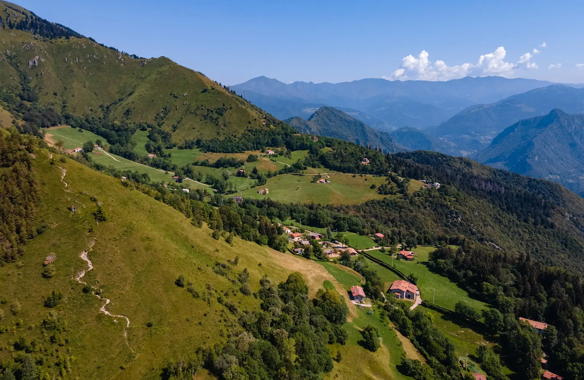
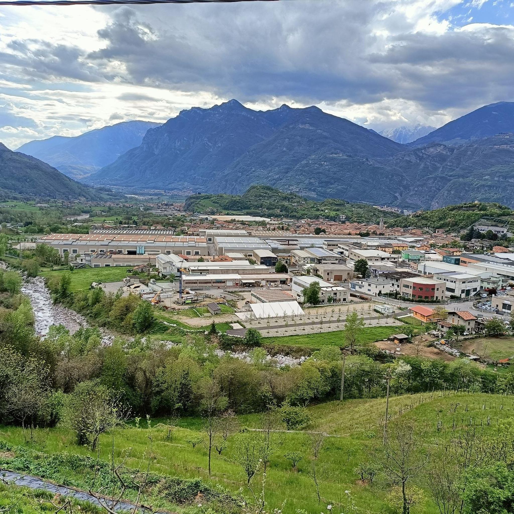
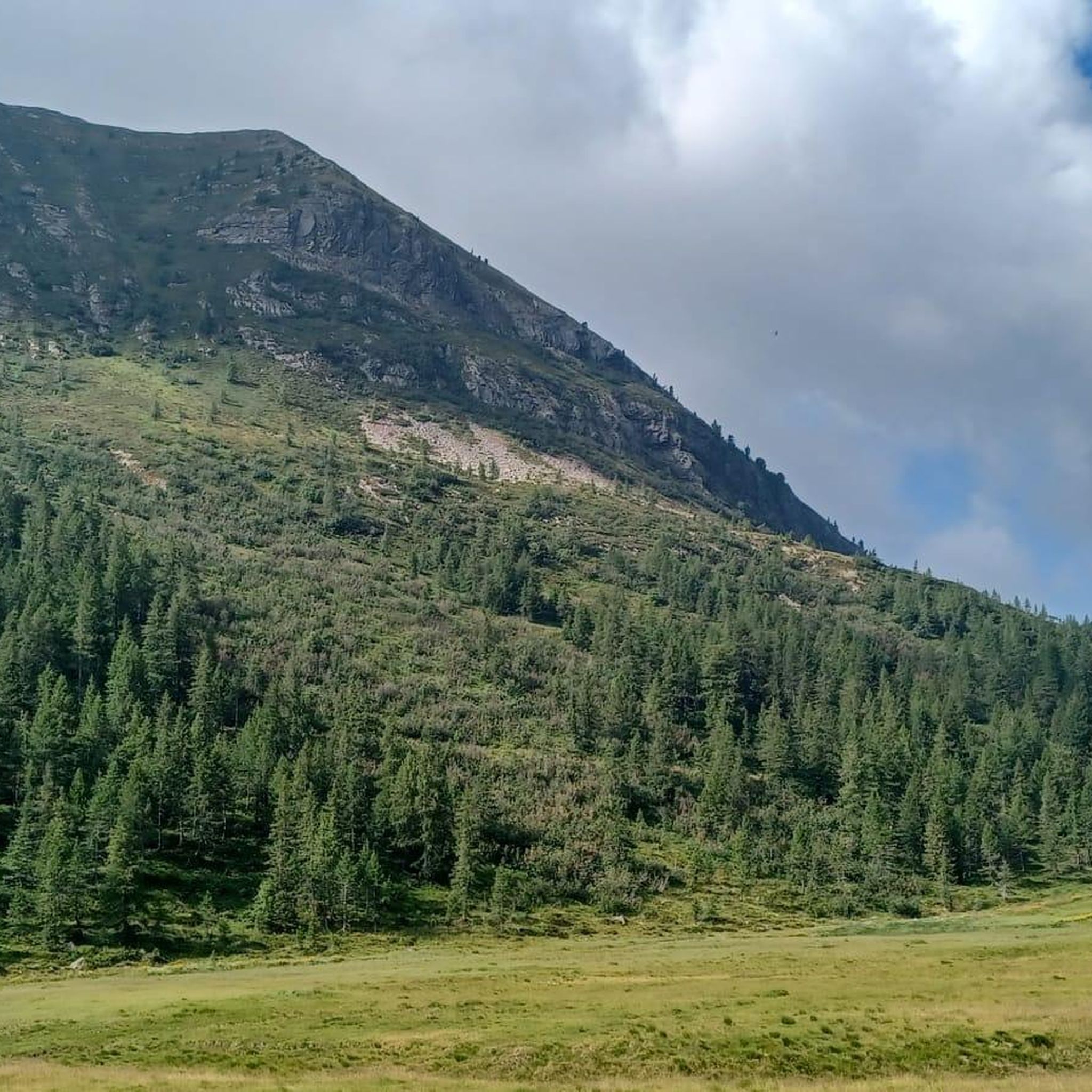
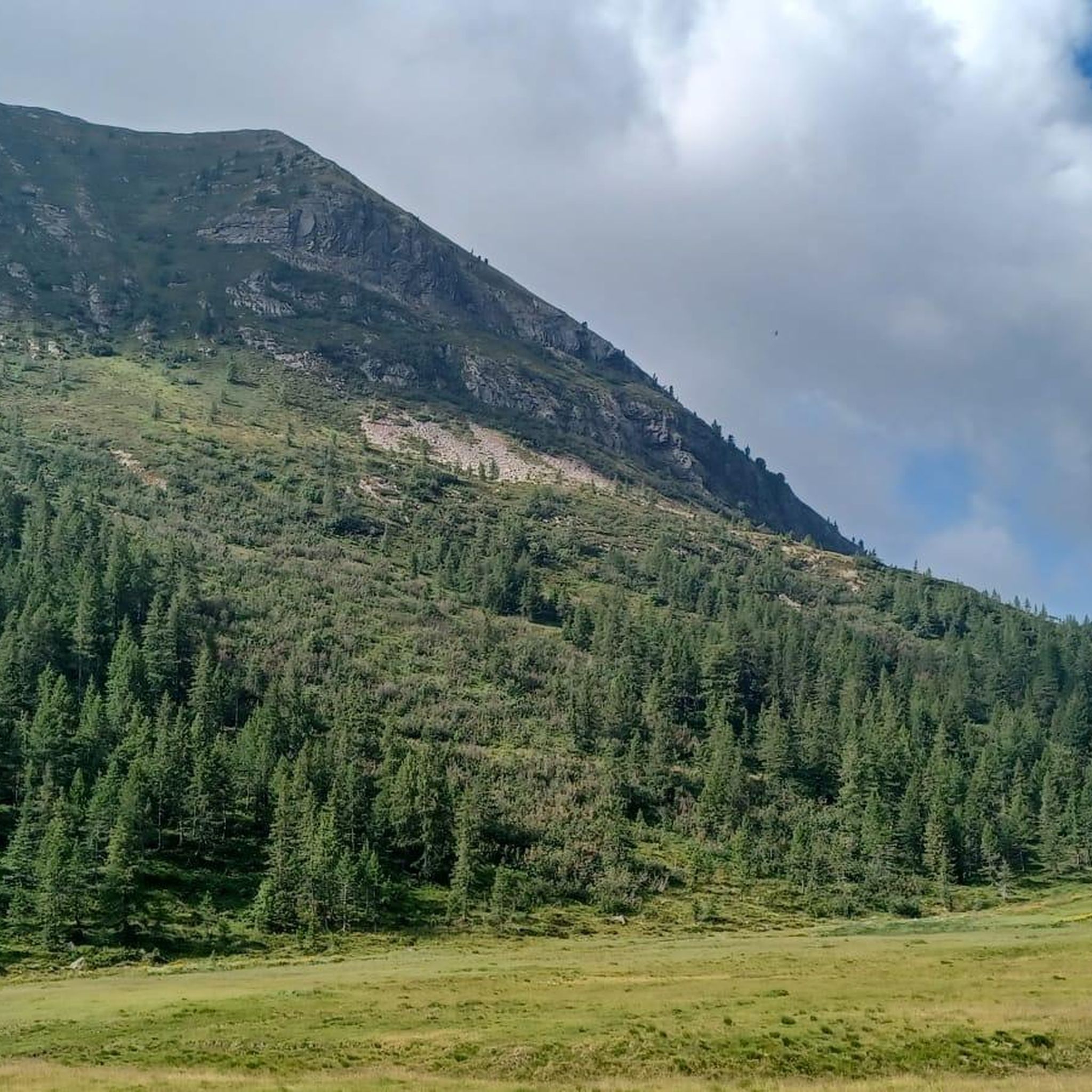

Other adventures around Berzo Inferiore

Tips from the Community

Truly unexpected. The short paved road near the small lake is very steep and very narrow, but worth it.
0
0

By train to Edolo and then by bike up to Ponte di legno. The next day, departure in four stages to Mantua. Beautiful cycle path. Recommended
0
0

Lago Lavena is a small alpine body of water located in Alta Val Brembana, in the territory of Carona, nestled among the giants of the Orobie Alps. Situated at an altitude of about 1970 meters, it lies along the popular route leading from Rifugio Calvi towards Passo di Valsecca. Its clear waters reflect the surrounding rocky walls, among which stands out the imposing silhouette of Pizzo del Diavolo di Tenda. Despite its small size compared to the nearby artificial basins, the lake retains a wild and unspoiled charm, representing an ideal stop for hikers seeking silence and high-altitude panoramas in one of the most evocative corners of the province of Bergamo.
0
0

Nice, historic, relaxing...a beautiful ride along the Oglio cycle path.
0
0

Stone bridge with nice views around. The river was brown due to heavy rain some hours earlier.
1
0

To reach Montecchio di Darfo, starting from Boario, you cross the so-called "Roman Bridge," also known as the Montecchio Bridge. It is a scenic 24-meter, single-span bridge, built from blocks of granite and Simona stone in 1686, over the remains of an older bridge that connected the medieval castle on Monticolo to the opposite bank of the river. It has been recognized as a national monument. (from valcamonicaaccessibile.it)
0
0
To reach Montecchio di Darfo, starting from Boario, you cross the so-called "Roman bridge." It is a scenic 24-meter, single-span bridge, built from blocks of granite and Simona stone in 1686, over the remains of an older bridge that connected the medieval castle on Monticolo to the opposite bank of the river. It has been recognized as a national monument.
0
0

Well-deserved view after the ascent from Bagolino. From here the route continues on gravel roads to the NATO radar station Dosso dei Galli, which was abandoned after the Cold War. Once there, the round trip to Bagolino can be concluded with a spectacular descent
0
0
Frequently Asked Questions
What is the general difficulty level of gravel biking trails around Berzo Inferiore?
Gravel biking around Berzo Inferiore is known for its challenging mountainous terrain. Most routes are classified as difficult, with 31 out of 38 trails falling into this category. There are also 7 moderate routes available, but no easy trails are listed, indicating a focus on more experienced riders.
Are there any beginner-friendly gravel bike routes in Berzo Inferiore?
The gravel biking trails around Berzo Inferiore are primarily designed for experienced riders, with a majority classified as difficult. There are no routes specifically listed as 'easy' in the area. However, some of the 7 moderate routes might be suitable for riders looking for a less intense challenge than the most difficult mountain passes.
What are some challenging gravel bike routes for experienced riders in Berzo Inferiore?
Experienced gravel bikers will find plenty of challenging options. The Passo Crocedomini – Croce Domini Pass loop from Passo di Crocedomini is a difficult 46.8-mile route with substantial elevation gain. Another demanding option is the Passo del Vivione – Vivione Pass loop from Lozio, which covers 62.6 miles through high mountain landscapes.
How long do gravel bike trails typically take to complete in Berzo Inferiore?
The duration of gravel bike trails in Berzo Inferiore varies significantly based on their length and elevation. For example, the By bike along the Oglio – Cividate-Breno Cycle Tunnel loop from Breno can be completed in about 2 hours 50 minutes, while longer, more challenging routes like the Passo Crocedomini – Croce Domini Pass loop can take over 7 hours.
What is the best season for gravel biking in Berzo Inferiore?
Given the mountainous terrain of Val Camonica, the best season for gravel biking in Berzo Inferiore is typically late spring, summer, and early autumn (May to October). During these months, you can expect more favorable weather conditions, less snow at higher elevations, and open mountain passes. Always check local weather forecasts before heading out.
What are the conditions like for gravel biking in Berzo Inferiore during winter?
Winter conditions in the mountainous Val Camonica region can be challenging for gravel biking. Higher elevation routes and mountain passes will likely be covered in snow and ice, making them impassable or very difficult. Lower valley routes might be rideable, but expect colder temperatures, potentially wet or muddy conditions, and shorter daylight hours. It's advisable to check local conditions and trail reports if planning a winter ride.
Are there many loop gravel bike routes available in Berzo Inferiore?
Yes, many of the gravel bike routes around Berzo Inferiore are designed as loops, offering a convenient way to start and end your ride in the same location. Examples include the Monti di Cerveno – Prato Torio loop from Borno and the Cividate-Breno Cycle Tunnel – By bike along the Oglio loop from Esine.
What attractions can I see near the gravel bike trails in Berzo Inferiore?
The region offers several natural and historical attractions. You can find beautiful lakes like Lova Lake and Lake Moro. Mountain passes such as Passo Crocedomini offer stunning views, and you might encounter historical structures like the Montecchio Roman Bridge.
Are there any viewpoints or scenic spots along the gravel routes?
Absolutely. Given the mountainous terrain, many routes offer spectacular viewpoints. Passes like Passo Crocedomini provide panoramic vistas. You might also encounter mountain summits such as Monte Muffetto or Monte Ario, and natural monuments like Corna Bianca, offering memorable scenic spots.
What do other gravel bikers say about the trails in Berzo Inferiore?
The gravel biking routes in Berzo Inferiore are highly regarded by the komoot community, holding an average rating of 4.7 stars from over 25 reviews. More than 470 gravel bikers have explored the varied terrain, often praising the challenging mountain passes, scenic river valleys, and the overall adventurous experience.
Where can I find parking for gravel cycling trails in Berzo Inferiore?
While specific parking locations aren't detailed for every trail, many routes start from towns or villages like Breno, Lozio, or Esine, where public parking is generally available. For routes beginning at mountain passes, designated parking areas are often provided. It's always a good idea to check the starting point of your chosen route on komoot for more specific parking information.
Are there any family-friendly gravel bike routes in Berzo Inferiore?
The region around Berzo Inferiore is characterized by significant elevation changes and challenging terrain, with no routes specifically designated as 'easy'. While there are 7 moderate routes, families with younger children or those seeking very gentle rides might find the options limited. The By bike along the Oglio – Cividate-Breno Cycle Tunnel loop from Breno, which follows a river valley, might be a more accessible option for families looking for a less strenuous experience.
Most popular routes around Berzo Inferiore
Most popular attractions around Berzo Inferiore

Get inspired with the komoot mobile app


Explore more
Browse the best Gravel rides in other regions.
